The best running trails around Schröcken
4.7
(150)
5,643
runners
164
runs
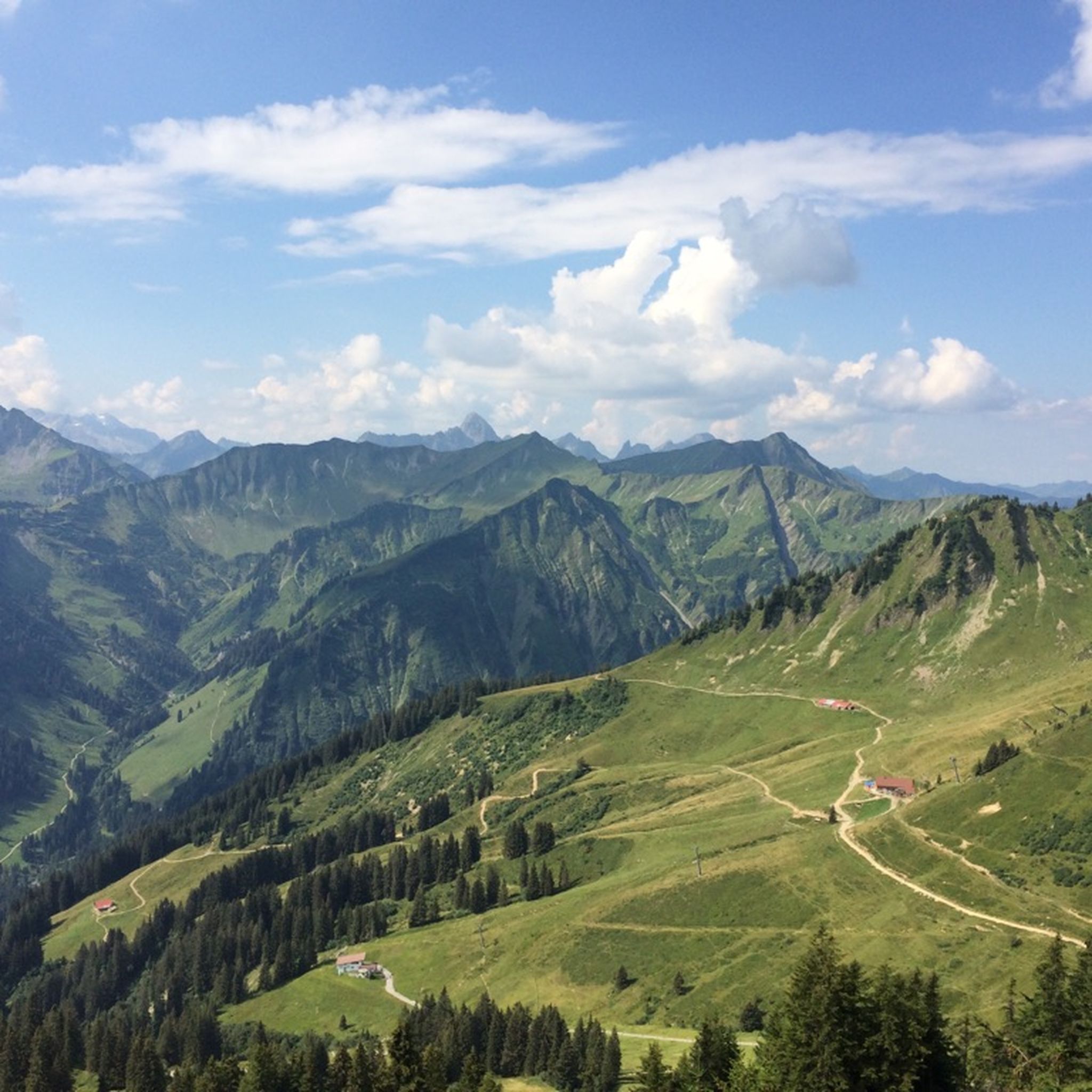
Jogging around Schröcken provides access to a varied alpine landscape, characterized by high mountain passes, clear lakes, and forested valleys. The terrain often includes significant elevation changes, offering challenging running experiences. This region is known for its natural beauty, with routes traversing through areas like the Hochtannbergpass and past notable lakes.
Best jogging routes around Schröcken
- The most popular jogging route is Lake Kalbele – View of Körbersee (north side) loop from Hochtannbergpass, a 5.7 miles (9.2 km) trail…
Last updated: July 7, 2026
5.0
(2)
37
runners
9.10km
01:15
260m
260m
Hard run. Good fitness required. Sure-footedness, sturdy shoes and alpine experience required.
5.0
(1)
19
runners
7.79km
01:03
390m
390m
Hard run. Very good fitness required. Mostly accessible paths. Some sure footedness required.

Sign up for free
12
runners
Hard run. Very good fitness required. Sure-footedness, sturdy shoes and alpine experience required.
5.0
(1)
8
runners
Hard run. Very good fitness required. Sure-footedness, sturdy shoes and alpine experience required.
8
runners
8.66km
01:09
450m
450m
Hard run. Very good fitness required. Sure-footedness, sturdy shoes and alpine experience required.
Get access to more routes and recommendations from other explorers.
Sign up for free
Already have an account?
Our route recommendations are based on thousands of hikes, rides, and runs completed by other people on komoot.
Start today with a free account
Your next adventure awaits.
Login or Signup
Popular around Schröcken
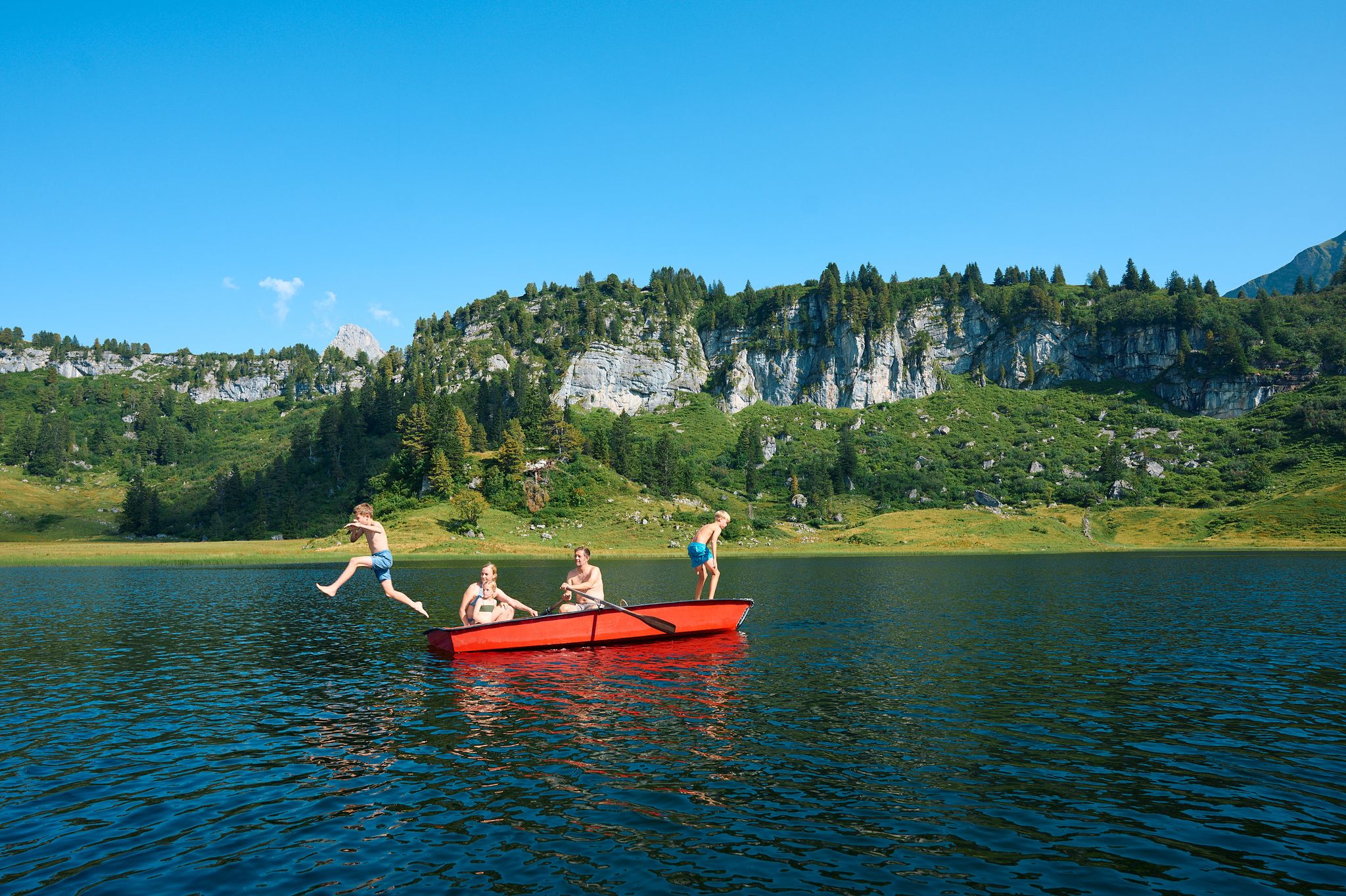
The mirrors of the mountains – hiking the alpine lakes of Warth-Schröcken
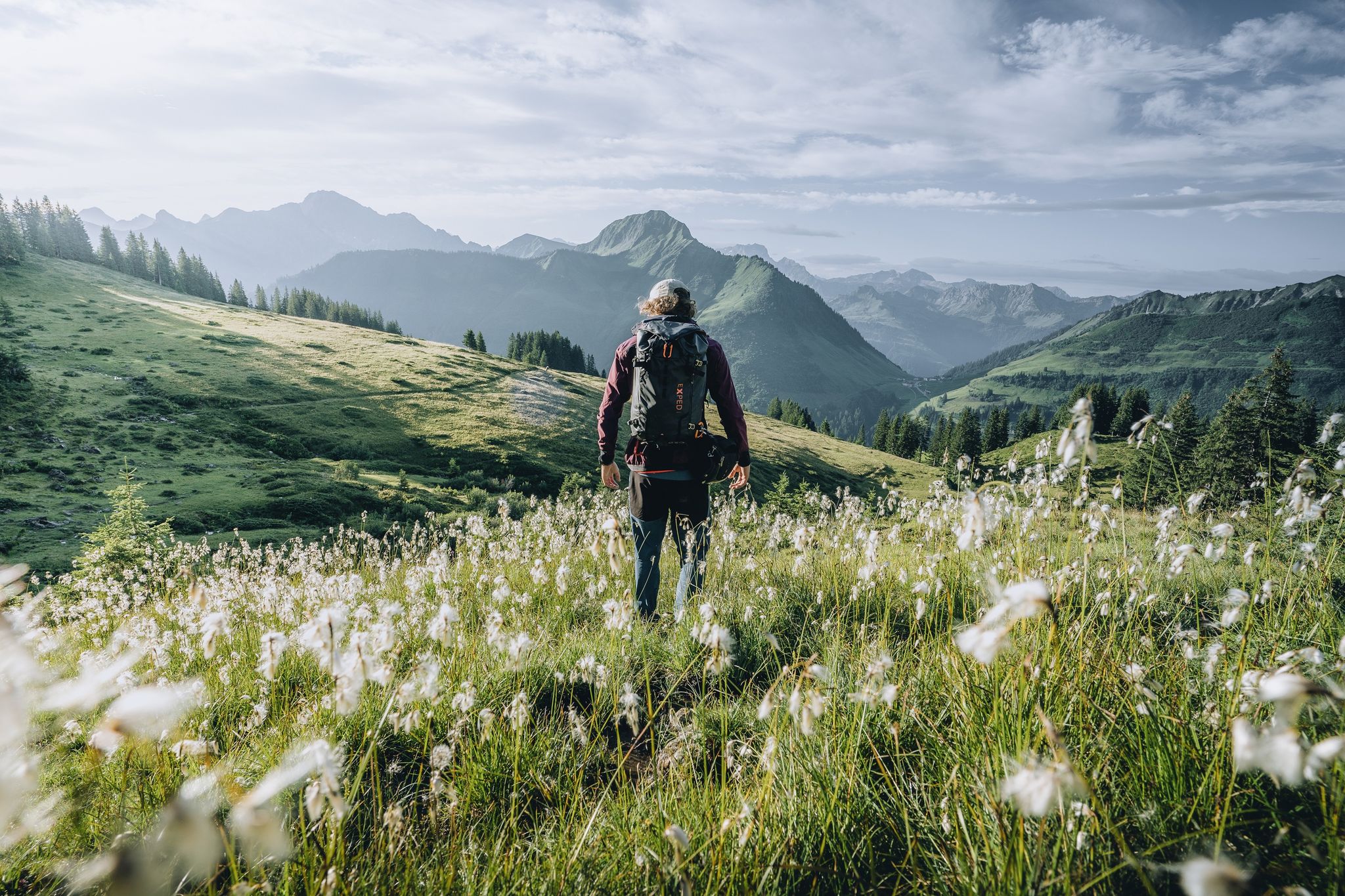
Pure joy on summit hikes in the Bregenzerwald
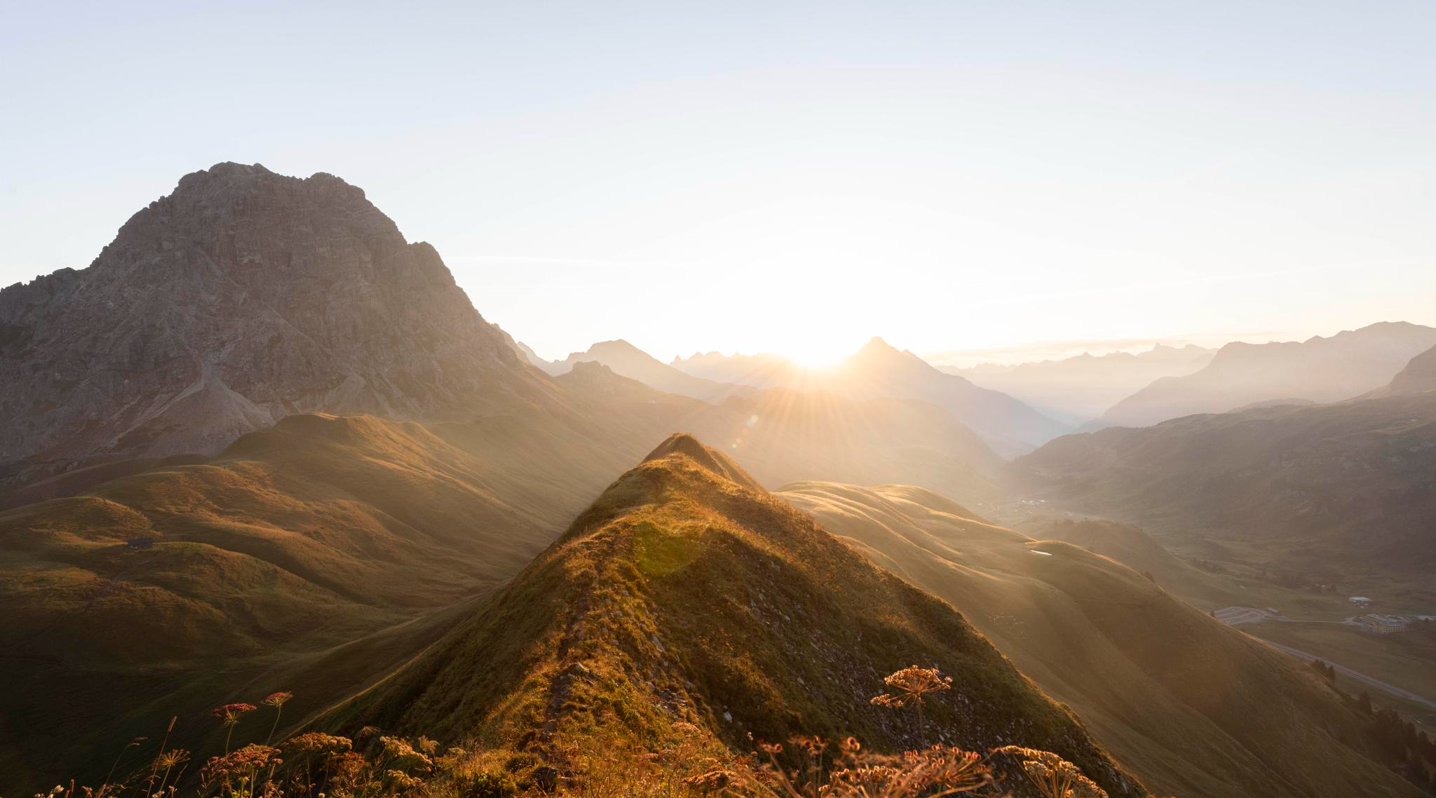
Hoch hinaus im Herbst – Wanderungen im Bregenzerwald
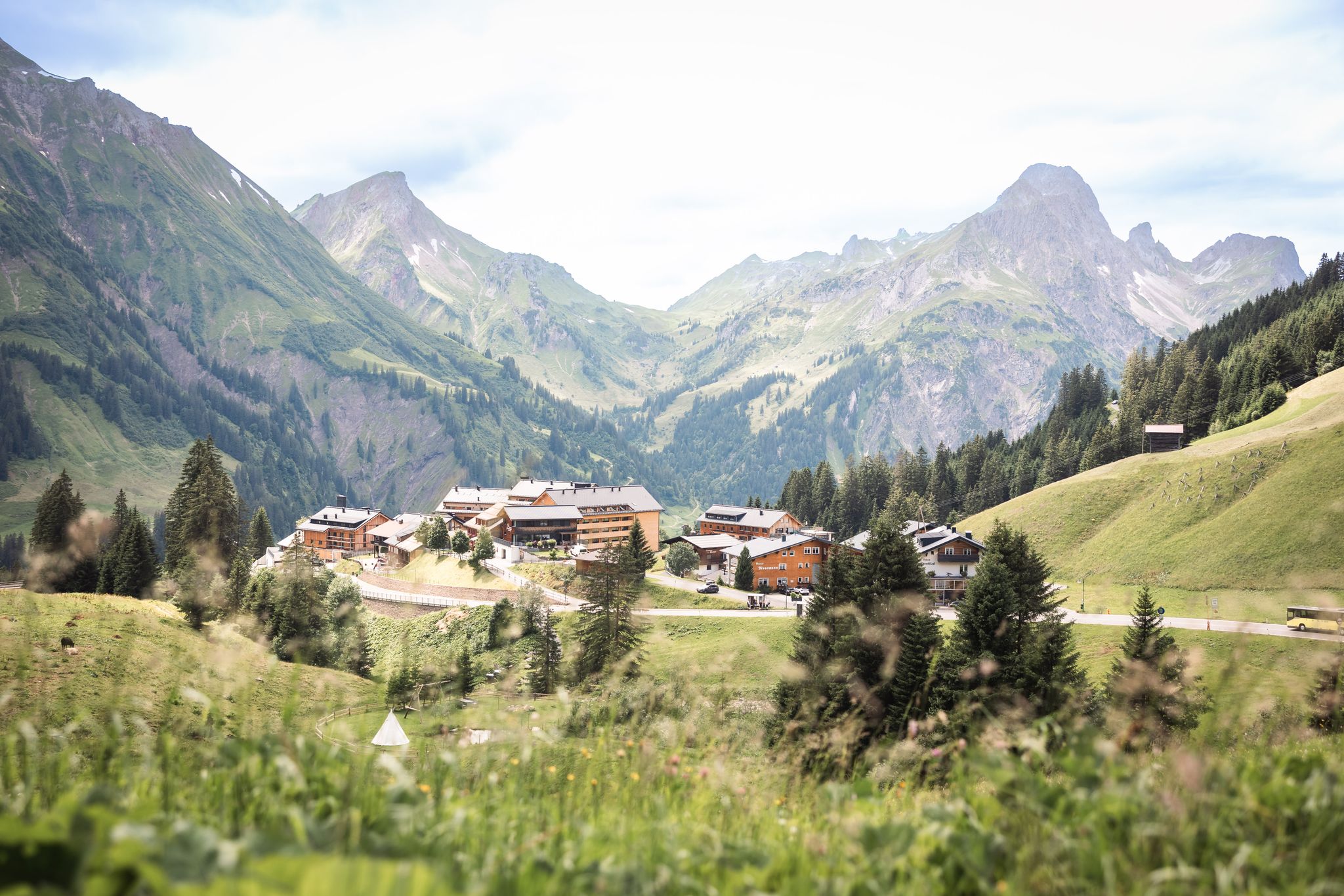
Tannbergweg "Auf den Spuren der Walser"
Hiking around Schröcken
MTB Trails around Schröcken
Road Cycling Routes around Schröcken
Cycling around Schröcken
Gravel biking around Schröcken
Mountain Hikes around Schröcken
Other adventures around Schröcken


Tips from the Community

The Salober car park at the Hochtannberg Pass is a convenient starting point for tours around Kalbelesee, Körbersee, and the surrounding peaks. Located directly on the pass road, you can access hiking trails, winter routes, and off-piste options into the ski area without any detours. Ideal for anyone who wants to park their car close to the trailhead and get out into the terrain quickly.
6
0
A comfortable bench with a breathtaking view of Lake Körber and the surrounding peaks – ideal for a longer panoramic break. Here you can sit down, enjoy the peace and quiet, and let the postcard-perfect scene work its magic right before your eyes. Perfect for a photo, a sip from your water bottle, and a few minutes of doing absolutely nothing.
6
0
On the western shore of Lake Körbersee, you'll find yourself away from the crowds, enjoying views across the lake to the surrounding peaks. The narrow lakeside path runs close to the water, offering frequent opportunities for short photo stops. It's ideal for a peaceful break with a postcard-perfect panorama before continuing your walk around the lake.
5
0
Lake Körbersee lies idyllically nestled between alpine meadows and striking peaks, revealing itself in winter as a tranquil, snow-covered landscape. Instead of reflections in the water, snow, ice, and the surrounding white slopes dominate the scene. It's ideal for a peaceful winter hike with postcard-perfect panoramas and plenty of fresh mountain air.
5
0
Lake Körbersee lies idyllically nestled between alpine meadows and striking peaks, revealing itself in winter as a tranquil, snow-covered landscape. Instead of reflections in the water, snow, ice, and the surrounding white slopes dominate the scene. It's ideal for a peaceful winter hike with postcard-perfect panoramas and plenty of fresh mountain air.
3
0
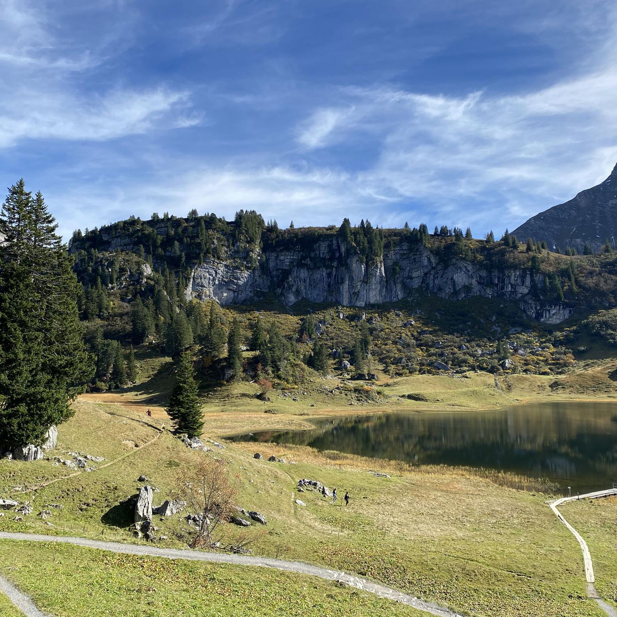
From up here, Lake Körbersee lies at your feet, framed by lush alpine meadows and the surrounding peaks. On a calm day, the mountain scenery is reflected in the water, creating a picture-perfect postcard panorama. A perfect spot for a short break, a few photos, and a deep breath.
5
0
Lake Kalbele is idyllically situated on the Hochtannberg Pass and, in calm weather, reflects the surrounding peaks. A beautiful spot for a short break right by the road, ideal as a photo stop or starting point for hikes around Warth-Schröcken.
5
0

Frequently Asked Questions
How many running routes are available in Schröcken?
Schröcken offers a wide selection of running trails, with over 160 routes documented on komoot. These range from easier paths to challenging alpine runs, catering to various fitness levels.
Are there easy jogging routes for beginners in Schröcken?
While many routes in Schröcken are challenging, there are 9 easier running trails suitable for beginners. These routes typically feature less elevation gain and provide a gentler introduction to jogging in the alpine landscape.
What kind of terrain can I expect on jogging trails around Schröcken?
The terrain around Schröcken is characterized by a varied alpine landscape, including high mountain passes, clear lakes, and forested valleys. You can expect significant elevation changes on many routes, offering a challenging experience. Trails often traverse through areas like the Hochtannbergpass and past notable lakes such as Körbersee and Kalbelesee.
Are there any circular running routes in Schröcken?
Yes, many of the running routes in Schröcken are circular, allowing you to start and finish at the same point. For example, the Lake Kalbele – View of Körbersee (north side) loop from Hochtannbergpass is a popular option, as is the Natural gem Körbersee – Kalbelesee loop from Hochtannbergpass.
What are some scenic highlights I can see while running in Schröcken?
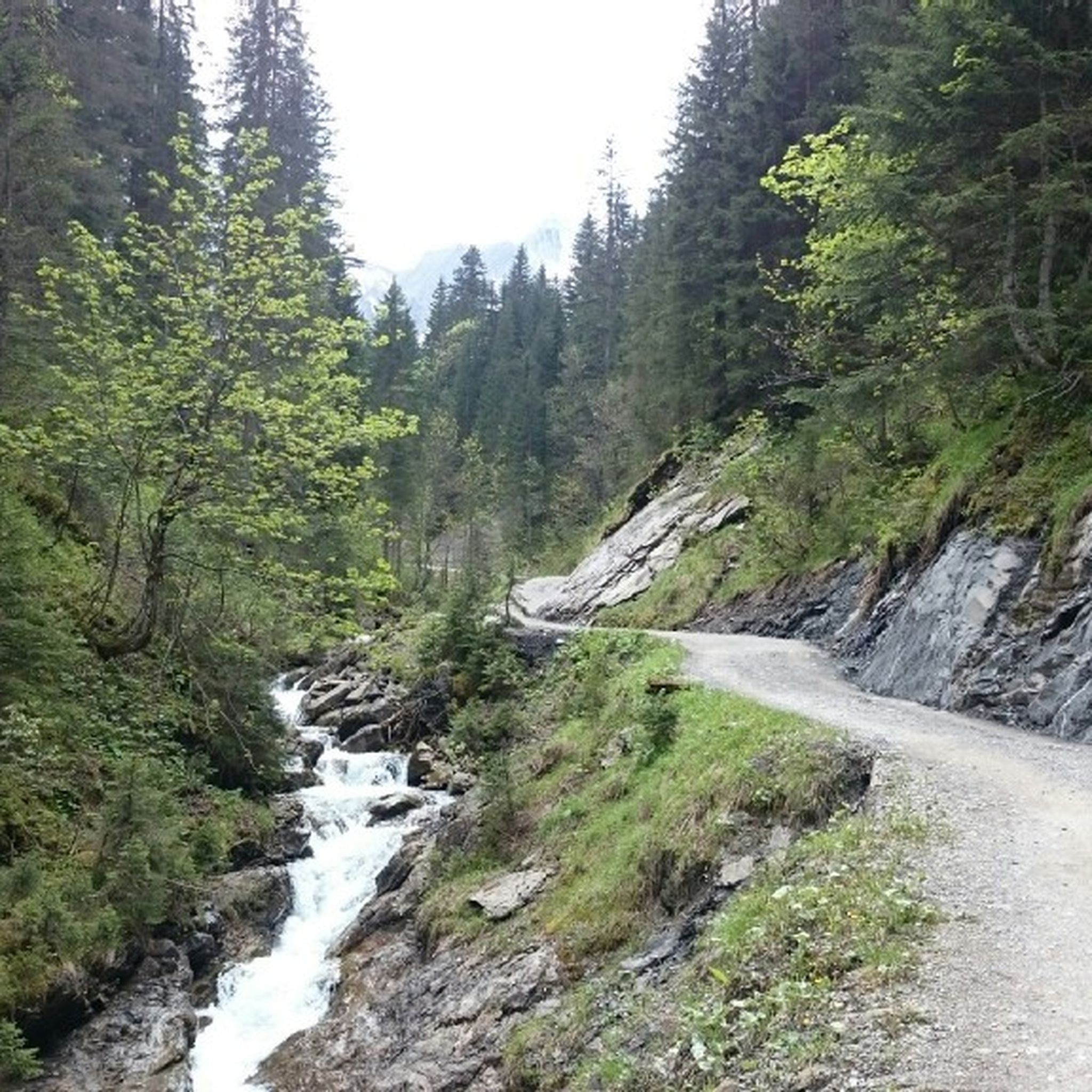
Jogging in Schröcken offers stunning natural beauty. You can encounter picturesque gorges like Gemstel Gorge and Gemsteltal, or enjoy the tranquility of the Ifenmulde High Valley. Don't miss the chance to see waterfalls, such as the Kessellöcher Waterfalls, or visit charming alpine huts like Rear Gemstel Alp.
What do other runners say about the trails in Schröcken?
The running routes in Schröcken are highly regarded by the komoot community, boasting an average rating of 4.7 out of 5 stars from over 140 reviews. Runners frequently praise the diverse alpine scenery, the well-maintained paths, and the challenging yet rewarding nature of the trails.
Are there any longer running routes for experienced runners?
Yes, Schröcken offers several longer and more challenging routes for experienced runners. For instance, the Bürstegg Walser settlement – View of Körbersee (north side) loop from Hochtannbergpass covers approximately 16.8 kilometers (10.4 miles) with significant elevation changes, providing a demanding and rewarding experience.
What is the best time of year for jogging in Schröcken?
The best time for jogging in Schröcken is typically from late spring to early autumn (May to October), when the alpine trails are clear of snow and the weather is most favorable. During these months, you'll experience lush landscapes and comfortable temperatures for outdoor activities.
Can I find routes that pass by lakes in Schröcken?
Absolutely. Many popular running routes in Schröcken feature beautiful alpine lakes. The Natural gem Körbersee – Alpe Batzen loop from Schröcken, for example, leads you past the stunning Körbersee, offering picturesque views during your run.
Are there any routes that explore the local alpine pastures?
Yes, several routes take you through scenic alpine pastures. The View of Körbersee (north side) – Körbersee loop from Schröcken is a great option, allowing you to experience the traditional alpine landscape and its charming meadows.
How long do the running trails in Schröcken typically take to complete?
The duration of running trails in Schröcken varies significantly based on distance and difficulty. Shorter, more moderate routes might take around 1 hour, while longer, more challenging trails with considerable elevation gain, such as the Bürstegg Walser settlement – View of Körbersee (north side) loop from Hochtannbergpass, can take over 2 hours to complete.
Most popular routes around Schröcken
Most popular attractions around Schröcken

Get inspired with the komoot mobile app


Explore more
Browse the best Running Trails & Routes in other regions.
