The best mountain hikes around Schröcken
4.7
(757)
5,029
hikers
143
hikes
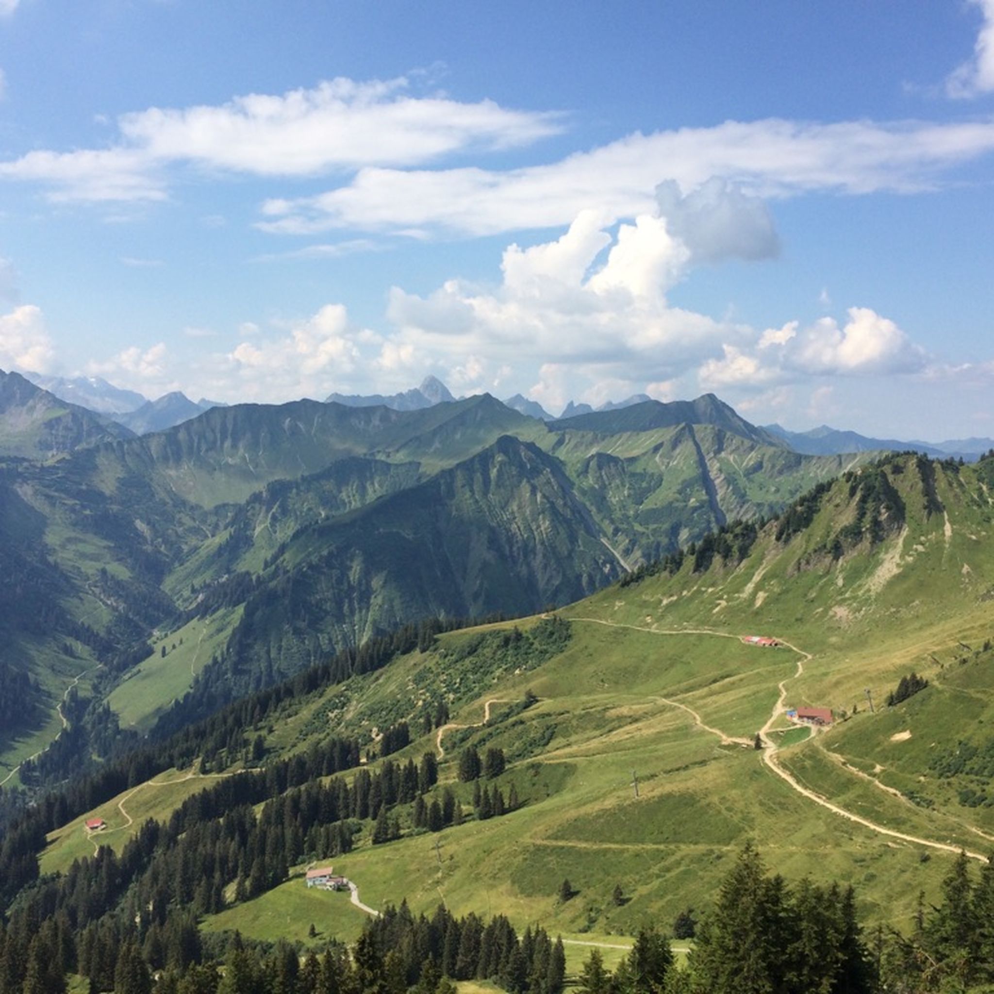
Mountaineering routes around Schröcken are set within the Austrian Alps at an elevation of 1,269 meters, offering a rugged and diverse landscape. The region features expansive high-altitude settlements, lush alpine meadows, dense mountain forests, and steep cirques. Prominent peaks such as the Widderstein, Mohnenfluh, and Juppenspitze frame the area, providing numerous challenging ascents. This alpine environment is characterized by significant elevation changes and varied terrain suitable for experienced mountaineers.
Best mountaineering routes around Schröcken
- The most popular mountaineering route is…
Last updated: October 5, 2026
4.7
(3)
22
hikers
9.73km
05:01
830m
830m
Hard mountaineering route. Very good fitness required. Sure-footedness, sturdy shoes and alpine experience required.
5.0
(1)
11
hikers
18.6km
07:46
1,090m
1,090m
Hard mountaineering route. Very good fitness required. Sure-footedness, sturdy shoes and alpine experience required.

5.0
(1)
10
hikers
16.2km
06:32
840m
840m
Hard mountaineering route. Very good fitness required. Sure-footedness, sturdy shoes and alpine experience required.
5.0
(1)
13
hikers
9.06km
03:58
580m
580m
Hard mountaineering route. Good fitness required. Sure-footedness, sturdy shoes and alpine experience required.
4.7
(3)
11
hikers
Moderate mountaineering route. Good fitness required. Mostly accessible paths. Sure-footedness required.
Get access to more routes and recommendations from other explorers.
Already have an account?
Our route recommendations are based on thousands of hikes, rides, and runs completed by other people on komoot.
Start today with a free account
Your next adventure awaits.
Popular around Schröcken
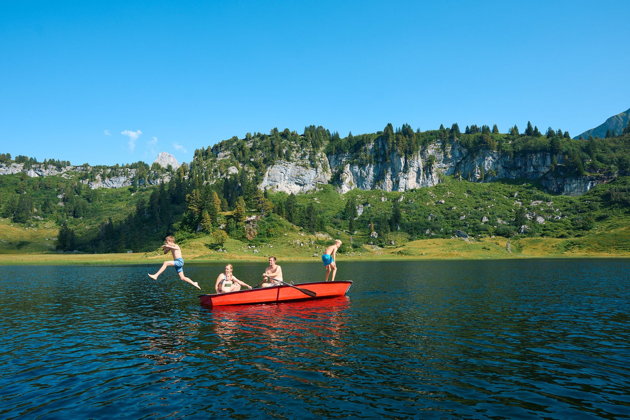
The mirrors of the mountains – hiking the alpine lakes of Warth-Schröcken
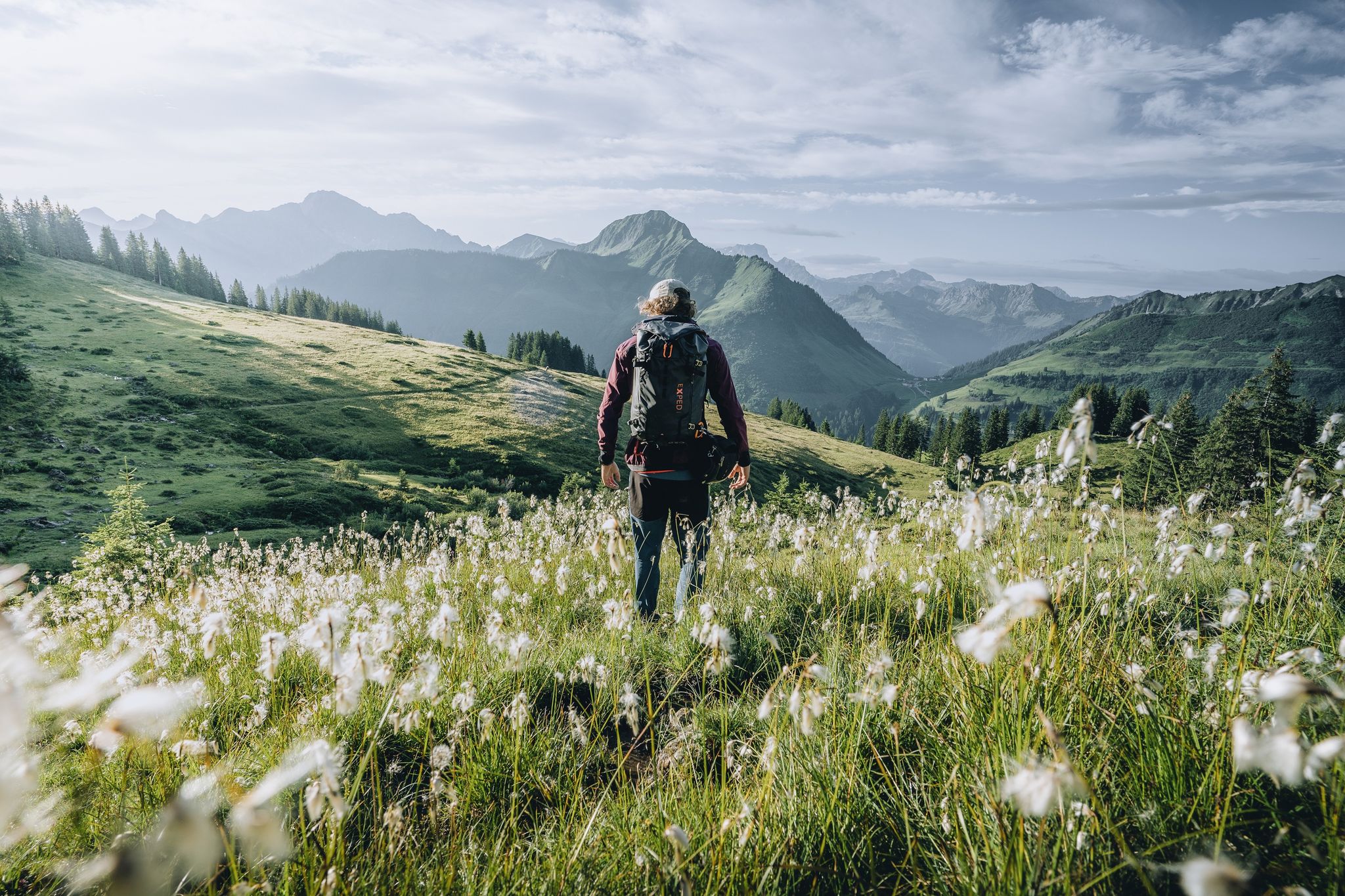
Pure joy on summit hikes in the Bregenzerwald
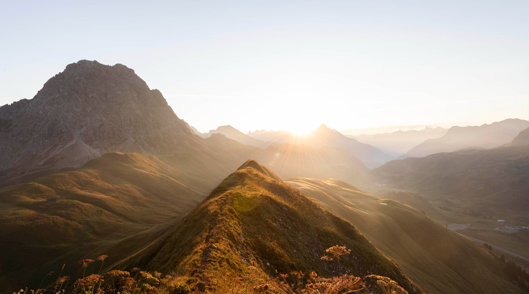
Hoch hinaus im Herbst – Wanderungen im Bregenzerwald
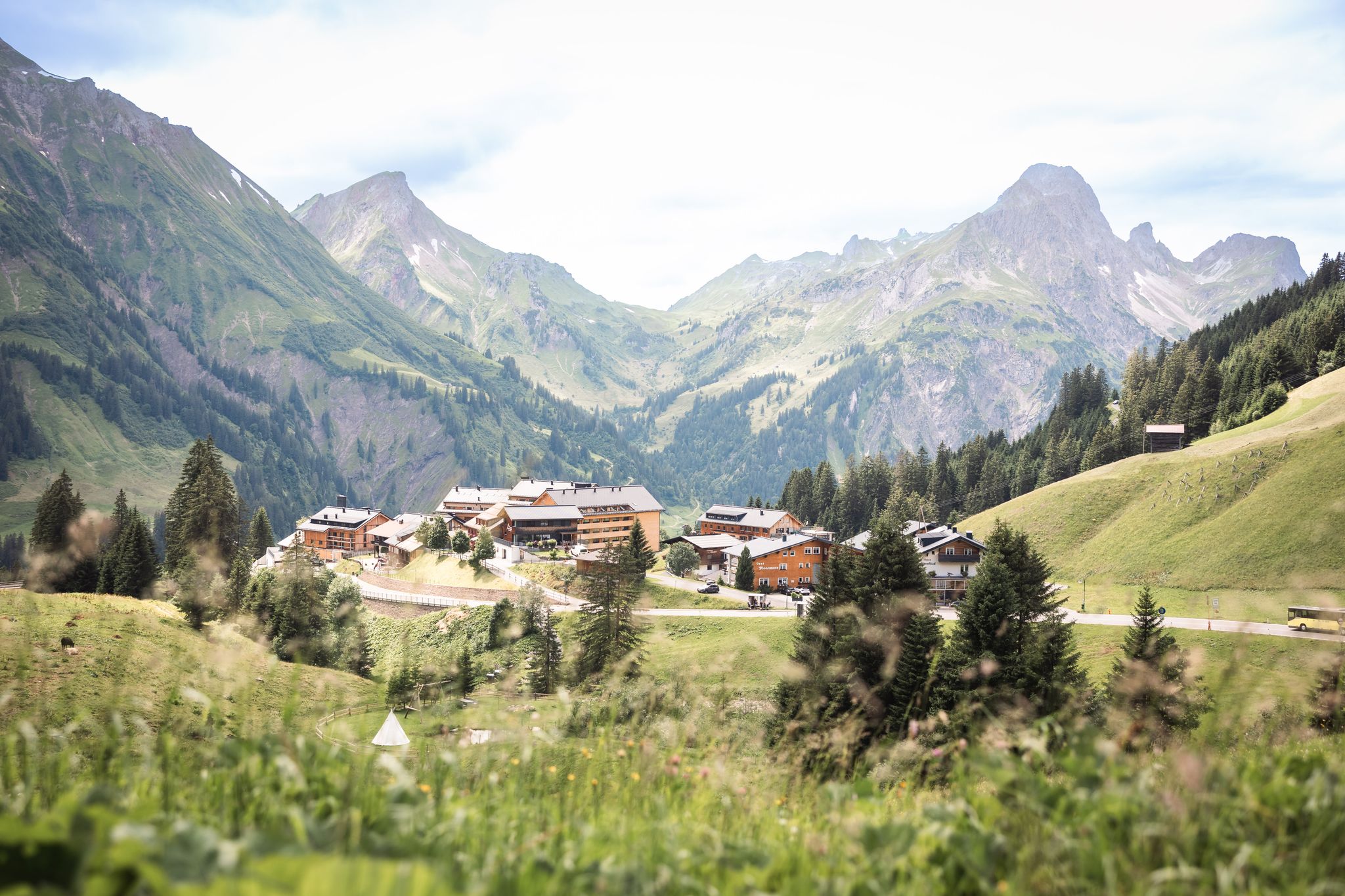
Tannbergweg "Auf den Spuren der Walser"
Hiking around Schröcken
MTB Trails around Schröcken
Road Cycling Routes around Schröcken
Cycling around Schröcken
Gravel biking around Schröcken
Running Trails around Schröcken
Other adventures around Schröcken


Tips from the Community

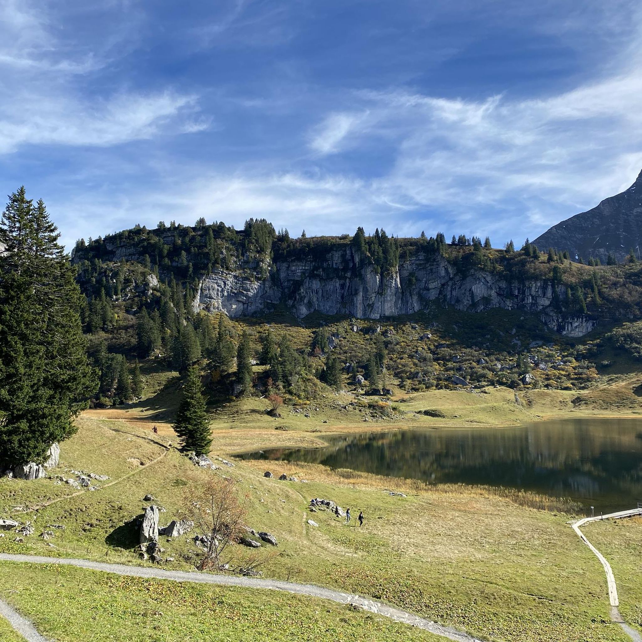
From here you can start various hikes, with the view of the Kalbelesee and the Biberkopf being very beautiful.
0
0

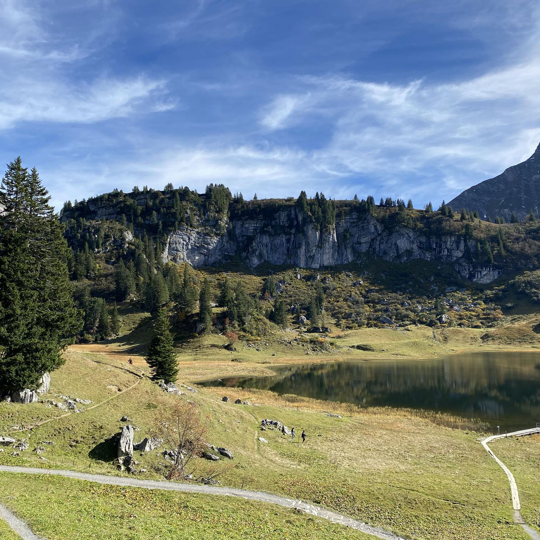
Pretty, small lake at the Hochtannbergpass.
4
0
The Körbersee with its wonderful mountain hotel is wonderfully located near the Hochtannbergpass. Dream landscape. 🤗
5
0

Definitely not easy to climb!! Extremely stiff no safety equipment except avalanche prevention
0
0

Beautiful, not yet too crowded place
0
0

on foot yes, but by bike very difficult, on the one hand very steep then also extremely rough in the upper part. Without an e-bike you will only be pushing.
0
0

Not just a feast for the eyes at sunset
2
0
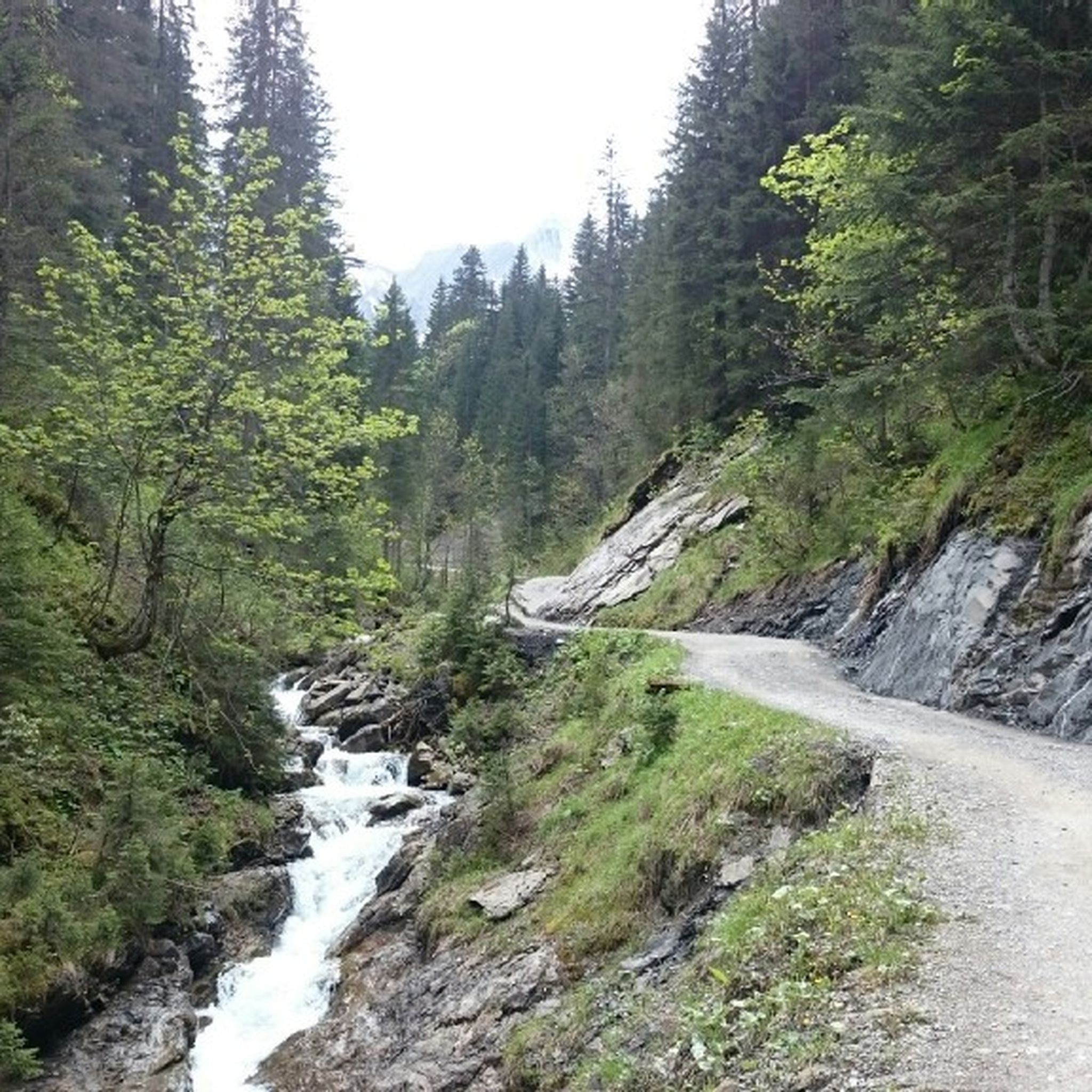
The entire path corresponds to the forest road, which is mostly coarse gravel. Only isolated small asphalt remnants. A real bumpy ride downhill. From the Schadona Pass to the west into the Große Walsertal, a mountain hiking trail, not suitable for MTB.
3
0
Frequently Asked Questions
How many mountaineering routes are available in Schröcken?
Schröcken offers a diverse selection of over 10 mountaineering routes. While many are challenging, with 8 routes rated as difficult, there are also 3 moderate options for those seeking a less strenuous ascent. The komoot community has highly rated these routes, with an average score of 4.8 stars from over 600 reviews.
What kind of terrain can I expect on mountaineering routes in Schröcken?
Mountaineering in Schröcken takes you through a rugged and diverse alpine landscape. You'll encounter expansive high-altitude settlements, lush alpine meadows, shady mountain forests, and steep cirques. The routes often feature significant elevation changes and varied terrain, with prominent peaks like the Widderstein, Mohnenfluh, and Juppenspitze framing the area.
Are there any notable landmarks or viewpoints to discover on mountaineering routes in Schröcken?
Absolutely! The region is rich with natural beauty and interesting features. A highlight is the stunning Körbersee Lake, often called the 'loveliest place in Austria,' which offers breathtaking views. You might also encounter a glacial mill, a relic from the Ice Age, on the path to Alpe Felle. For panoramic vistas, consider routes that lead to mountain passes like Hochtannberg Pass or summits like Walmendinger Horn.
Are there any circular mountaineering routes in Schröcken?
Yes, Schröcken offers several excellent circular routes. For example, the Butzensee – View of Butzensee loop from Schröcken is a difficult 18.1 km trail that provides expansive views of the Butzensee lake. Another popular option is the Biberacher Hut – Biberacher Hut (1,846 m) loop from Schröcken Landsteg, a challenging 15.8 km path leading to the Biberacher Hut.
What is the best time of year for mountaineering in Schröcken?
The prime season for mountaineering in Schröcken is generally during the warmer months, from late spring to early autumn. This period offers more stable weather conditions, less snow at higher elevations, and longer daylight hours, making the challenging alpine routes more accessible and enjoyable. Always check local weather forecasts and trail conditions before heading out.
Are there any family-friendly climbing or mountaineering activities in Schröcken?
While many mountaineering routes are challenging, Schröcken does cater to families interested in climbing. There's a Murmele via ferrata specifically designed for children to gain their first climbing experiences, making it a great family-friendly option. Additionally, the region offers exciting climbing parks and a high ropes course for diverse outdoor adventures.
What are some challenging mountaineering routes for experienced climbers in Schröcken?
For experienced climbers, Schröcken offers demanding routes that require good fitness and alpine experience. The Fürggele Pass – View of the Lechtal Alps loop from Schröcken is a difficult 9.7 km trail offering panoramic vistas. Another substantial alpine challenge is the Biberacher Hut (1,846 m) – Biberacher Hut loop from Schröcken, covering 18.4 km with over 1000 meters of elevation gain.
Are there any options for beginner mountaineers in Schröcken?
While many routes are rated difficult, Schröcken does have some moderate mountaineering options suitable for those with less experience but good basic fitness. These routes allow beginners to experience the alpine environment without the extreme demands of the most challenging ascents. Always consider hiring an experienced guide for your first alpine adventures.
What are the typical durations for mountaineering routes in Schröcken?
The duration of mountaineering routes in Schröcken varies significantly based on difficulty and distance. Difficult routes like the Butzensee loop can take around 8 hours 30 minutes, while others, such as the Höferkamm loop, might be completed in about 4 hours. Always factor in your fitness level and weather conditions when estimating your time.
Can I find places to eat or stay near the mountaineering routes in Schröcken?
Schröcken, as a high-altitude settlement, offers infrastructure for visitors. While specific cafes directly on every route are rare, the village itself and surrounding areas provide various accommodation options and places to eat. It's always a good idea to pack sufficient provisions for your mountaineering trip and plan your meals around your route.
What are some of the prominent peaks that frame the Schröcken region?
The Schröcken region is framed by several impressive mountains that provide numerous trails for mountaineers. These include the Widderstein, Mohnenfluh, Juppenspitze, Wartherhorn, Biberkopf, Braunarlspitze, Hochberg, Rothorn, Hochkünzelspitze, and Höferspitze. Many routes offer stunning views of these majestic peaks.
Are there any historical or cultural trails in the Schröcken area?
Yes, for those interested in the region's history, the Walser Hiker Theme Trail is a great option. This trail covers the entire village of Schröcken and the neighboring village of Warth, allowing visitors to experience the rich heritage of the Walser people who settled this alpine region.
Most popular routes around Schröcken
Most popular attractions around Schröcken

Get inspired with the komoot mobile app


Explore more
Browse the best Mountain Hikes & Routes in other regions.
