The best mountain hikes around Lembach im Mühlkreis
4.5
(2)
37
hikers
4
hikes
Mountaineering routes around Lembach im Mühlkreis traverse the scenic Mühlviertel region of Upper Austria, characterized by green hills and dense forests. The landscape features notable natural highlights such as the dramatic Schlögener Schlinge, a unique bend in the Danube River. Elevated viewpoints like Bärenstein and Mühlholzkapelle offer expansive vistas across the region and towards the Bohemian Forest and distant Alps. The terrain primarily involves strenuous and elevated hiking, requiring good fitness and sure-footedness.
Best mountaineering routes around Lembach im Mühlkreis
…Last updated: May 20, 2026
5.0
(1)
14
hikers
11.8km
03:30
320m
320m
Moderate mountaineering route. Good fitness required. Easily-accessible paths. Suitable for all skill levels.
11
hikers
17.7km
05:05
410m
410m
Hard mountaineering route. Very good fitness required. Easily-accessible paths. Suitable for all skill levels.

Sign up for free
4.0
(1)
10
hikers
3.66km
01:18
200m
200m
Easy mountaineering route. Great for any fitness level. Easily-accessible paths. Suitable for all skill levels.
2
hikers
8.54km
02:43
320m
320m
Moderate mountaineering route. Good fitness required. Easily-accessible paths. Suitable for all skill levels.
Our route recommendations are based on thousands of hikes, rides, and runs completed by other people on komoot.
Start today with a free account
Your next adventure awaits.
Login or Signup
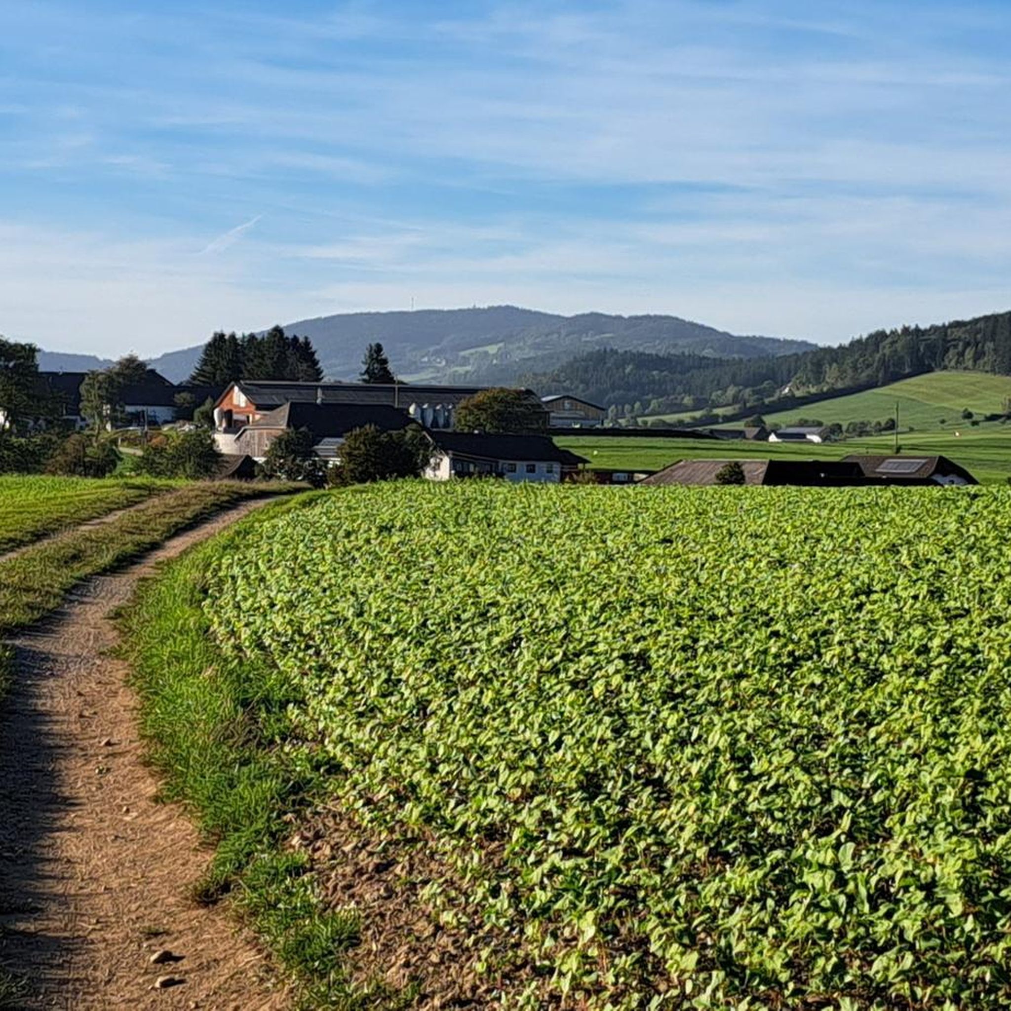
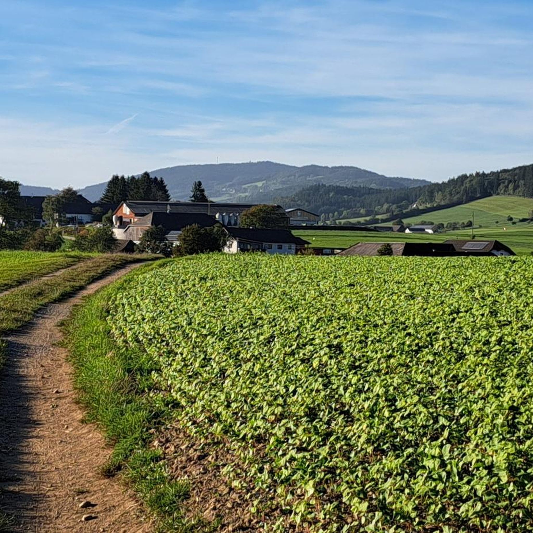
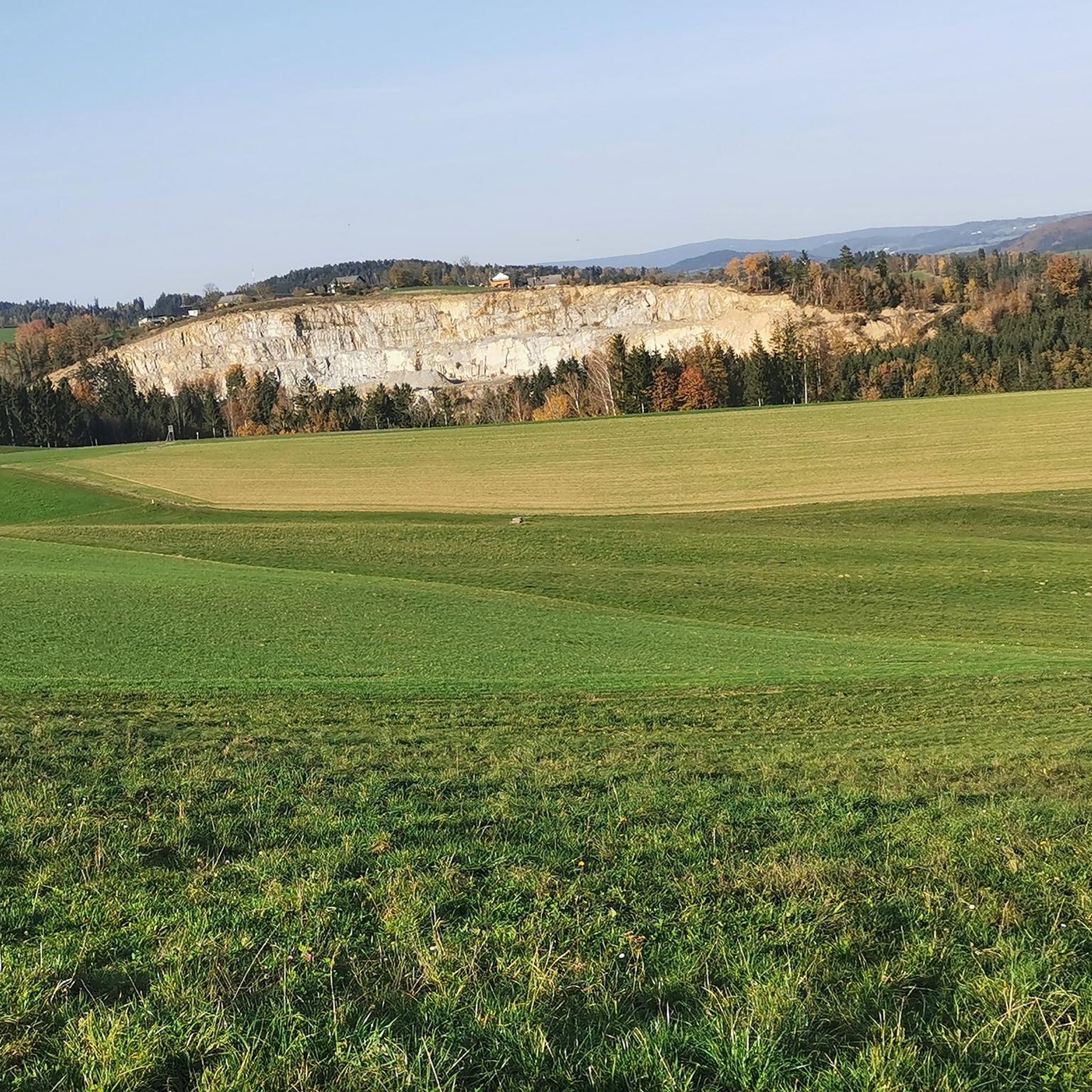
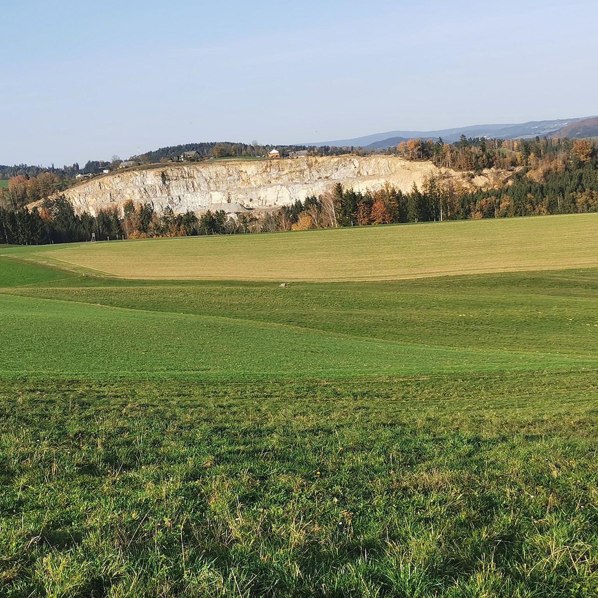
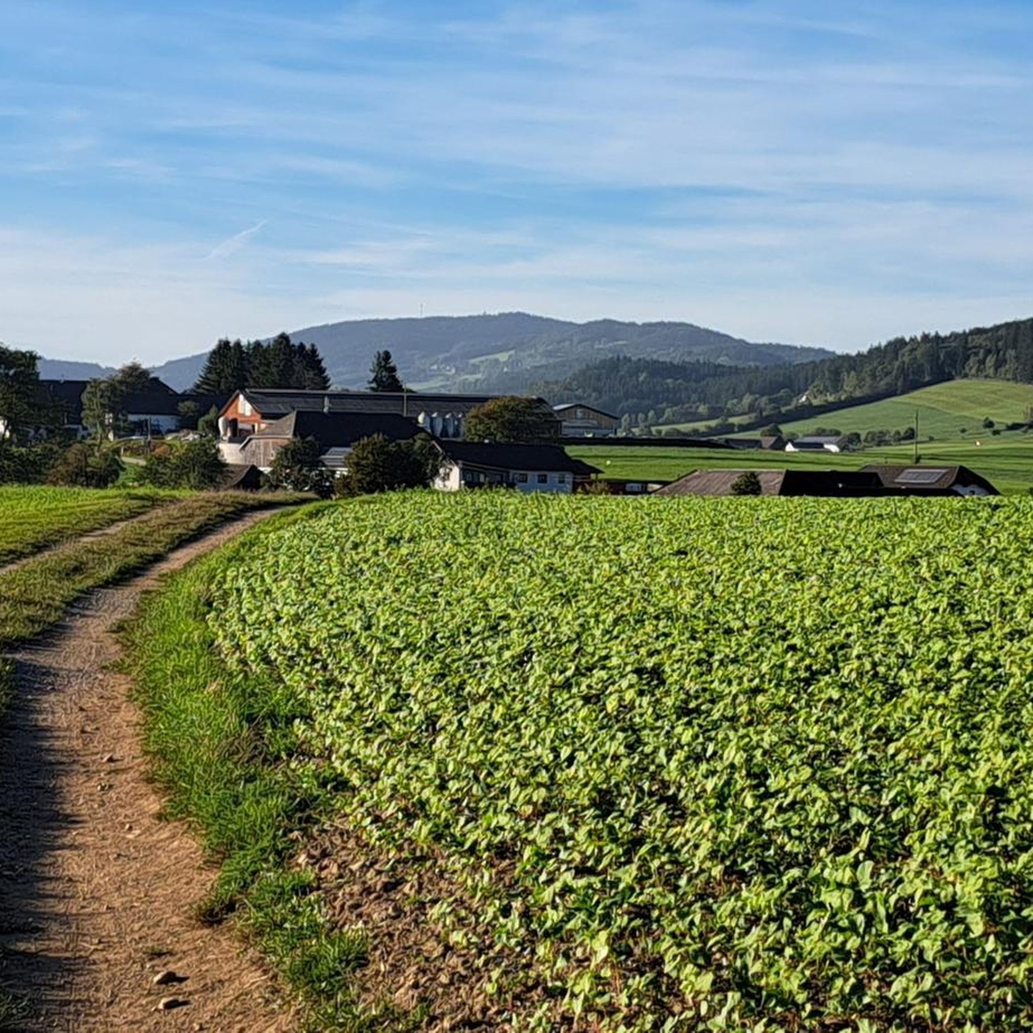
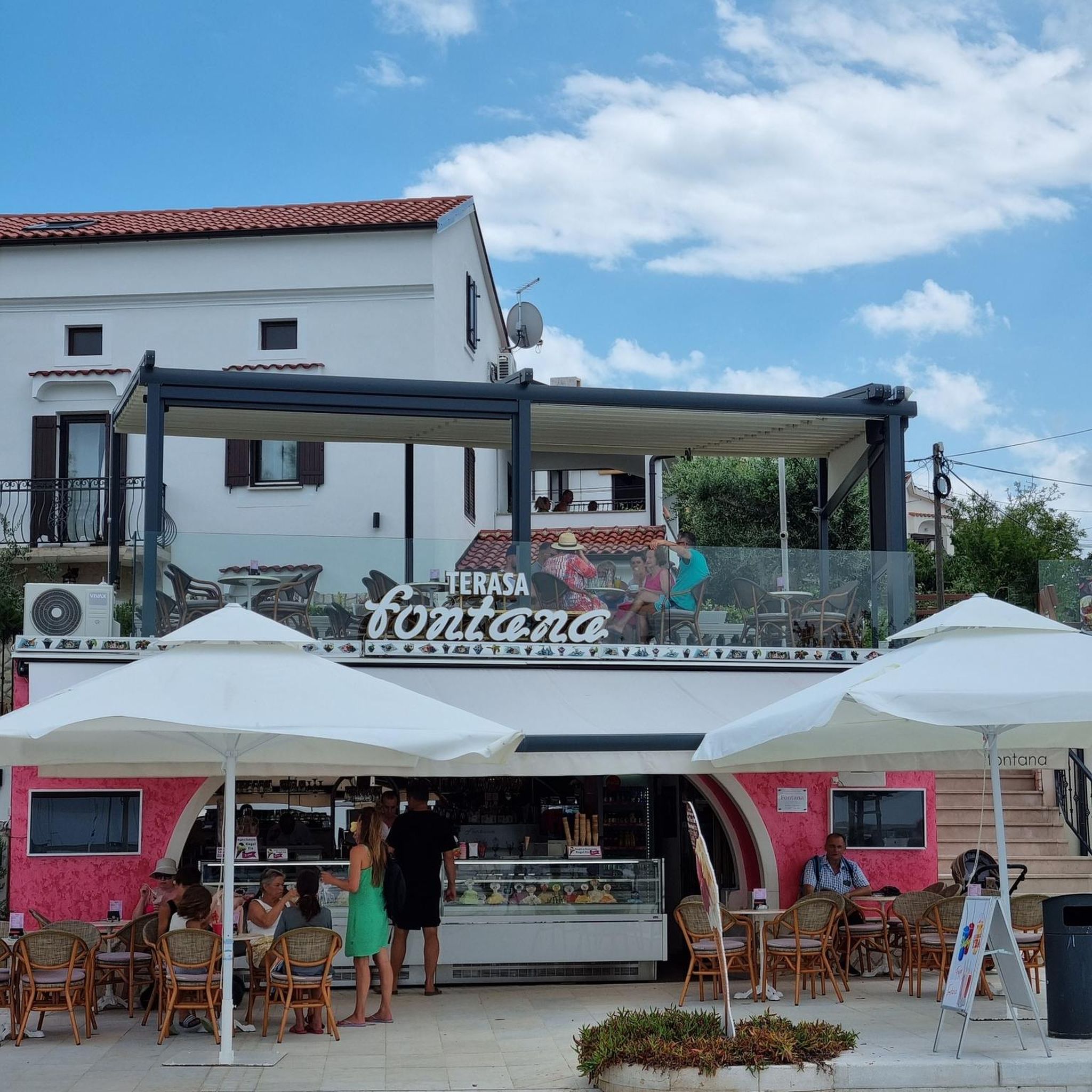
Tips from the Community


Beautiful viewpoint, from Inzell the path is partly quite steep and rocky.
1
0

From here you can start many hikes.
1
0
The Steinerfelsen summit invites you to rest and enjoy the beautiful view of the Danube.
1
0
The descent to the waterfall is secured with a rope, but is easy to manage with good hiking boots.
1
0

This is one of the most famous photo spots on the Danube. Definitely worth a visit 😉.
2
0

The Roman Catholic parish church of Haibach ob der Donau, dedicated to St. Ulrich, is located in the municipality of Haibach ob der Donau in the district of Eferding.
0
0

From the "Schlögener Blick" viewpoint you have a spectacular panoramic view of the loop. You can reach the viewpoint via hiking trails and it is particularly worthwhile at sunset or in the golden hour because the landscape is particularly impressive then.
5
0
Frequently Asked Questions
How challenging are the mountaineering routes around Lembach im Mühlkreis?
The routes in this region vary in difficulty, catering to different fitness levels. You'll find options ranging from easy ascents, like the 2.1-mile "View of the Schlögener Loop loop from Schlögen," to more demanding difficult routes, such as the 11.0-mile "Schlögen Loop – Schlögen Loop loop from Haibach ob der Donau." Many routes require good fitness and sure-footedness, with some ascents reaching up to 3,000 feet in elevation.
Are there any circular mountaineering routes available?
Yes, several routes are designed as loops, allowing you to start and end at the same point. For instance, the popular Schlögen Loop – Schlögen Loop loop from Schlögen is a moderate 7.3-mile circular trail. Another option is the View of Wesenufer – Bockbach Waterfall loop from Niederranna, which is 5.3 miles long.
Can I find routes that feature waterfalls?
Absolutely! The View of Wesenufer – Bockbach Waterfall loop from Niederranna is a moderate 5.3-mile mountaineering route that specifically includes the Bockbach Waterfall, offering a refreshing natural highlight along the way.
What notable landmarks or viewpoints can I expect to see on these routes?
The region is rich in stunning viewpoints and landmarks. Many routes offer views of the iconic Schlögener Schlinge, a dramatic bend in the Danube. You can also find routes leading to prominent spots like the Ameisberg Tower, Cooling stone, or the Lutzenkreuz, all offering expansive panoramic views across the Mühlviertel and towards the Bohemian Forest and distant Alps.
Are there any family-friendly mountaineering options in Lembach im Mühlkreis?
While many mountaineering routes require good fitness, there are easier options suitable for families. The View of the Schlögener Loop loop from Schlögen is an easy 2.1-mile trail that takes about 1 hour 13 minutes to complete, making it a good choice for families looking for a less strenuous experience with rewarding views.
What is the best time of year for mountaineering in this region?
The Mühlviertel region is beautiful throughout the warmer months. Spring and autumn offer pleasant temperatures and vibrant scenery, ideal for exploring the green hills and forests. While some trails might be accessible in winter, specific winter mountaineering conditions should be checked, as some paths can be steep and stony.
What do other mountaineers enjoy most about the routes here?
The routes around Lembach im Mühlkreis are highly rated by the komoot community, with an average score of 4.5 stars. Reviewers often praise the stunning panoramic views, especially those overlooking the Danube at the Schlögener Schlinge, and the diverse terrain that offers both challenging ascents and serene forest paths.
Are there any lakes or reservoirs accessible from the mountaineering routes?
Yes, the region features several water bodies. While not directly on every mountaineering route, nearby attractions include the Ranna Reservoir Dam and the Resilacke. You can also find viewpoints like the View of the Neufelden Reservoir, offering scenic vistas of these water features.
Is parking available near the trailheads?
Yes, parking facilities are generally available near the starting points of many popular routes, especially those around Schlögen and other key access points. It's advisable to check specific route details for precise parking information before your trip.
Can I reach the mountaineering trails using public transport?
While specific public transport connections to every trailhead might vary, Lembach im Mühlkreis and surrounding towns often have bus services. For routes like those around Schlögen, public transport options might be available to get you close to the starting points. It's recommended to check local bus schedules for the most up-to-date information.
Are there any religious or historical sites along the trails?
Yes, the region has several points of cultural interest. The Kalvarienberg Chapel is one such site, and the Mühlholzkapelle, perched atop a hill, is a widely visible landmark accessible via a cross-path from the cemetery, offering historical context and expansive views.
How many mountaineering routes are covered in this guide?
This guide highlights 4 distinct mountaineering routes around Lembach im Mühlkreis, offering a diverse selection for your outdoor adventures.
Most popular routes around Lembach im Mühlkreis
Most popular attractions around Lembach im Mühlkreis

Get inspired with the komoot mobile app


Explore more
Browse the best Mountain Hikes & Routes in other regions.
