The best running trails around Uttendorf
4.2
(224)
7,184
runners
10
runs
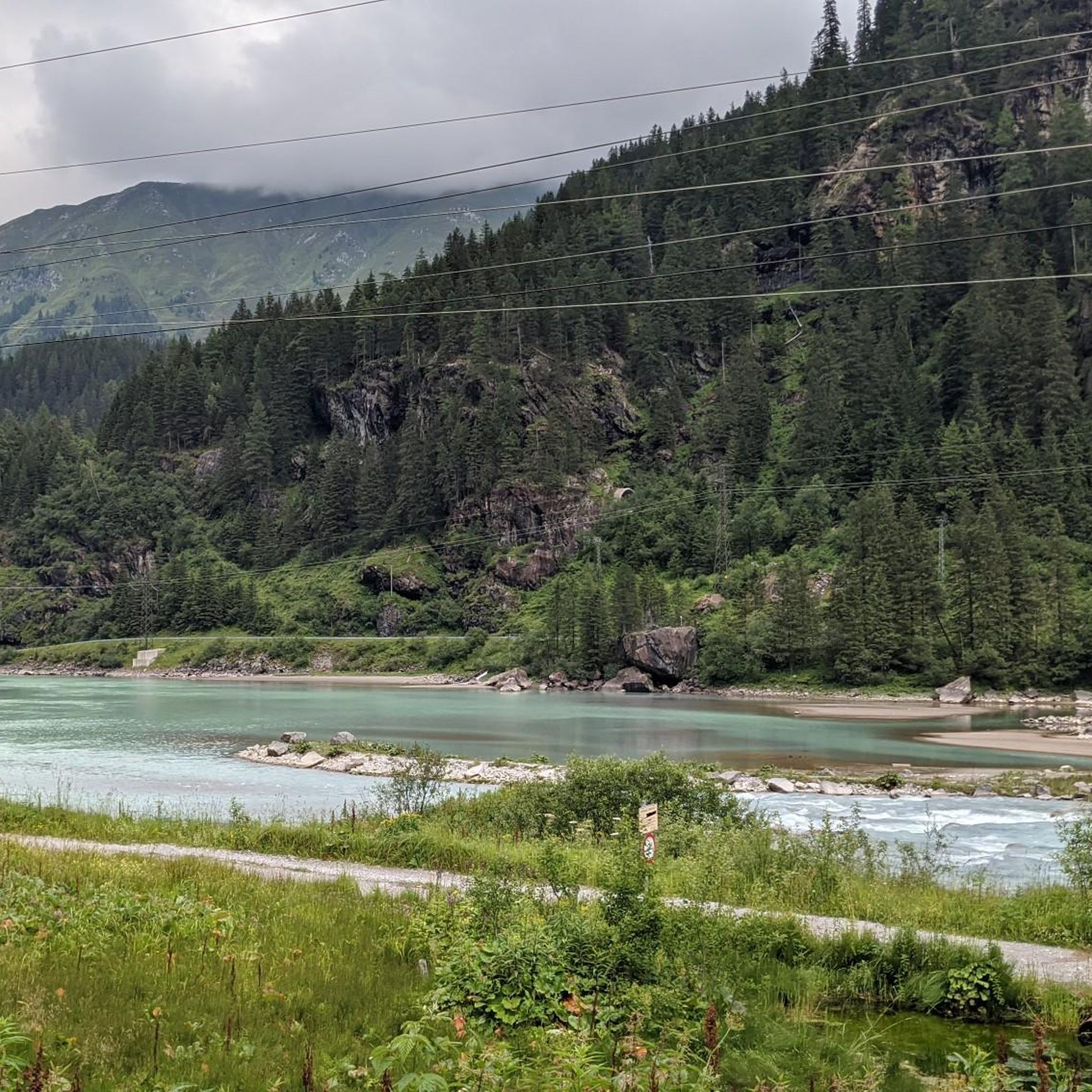
Jogging routes around Uttendorf offer diverse terrain within the Upper Pinzgau district, characterized by a combination of mountains, lakes, and glaciers. The region is situated at the edge of the Hohe Tauern National Park, providing access to high-alpine landscapes and the scenic Stubachtal valley with its waterfalls and gorges. Running trails in Uttendorf range from gentle paths around the Adventure Lake to more challenging routes through alpine meadows and towards 3,000-meter peaks.
Best jogging routes around Uttendorf
- The most popular…
Last updated: September 28, 2026
4.0
(4)
27
runners
8.93km
00:56
60m
60m
Moderate run. Good fitness required. Mostly paved surfaces. Suitable for all skill levels.
5.0
(1)
28
runners
Hard run. Very good fitness required. Sure-footedness, sturdy shoes and alpine experience required.

4.5
(8)
14
runners
8.25km
00:53
80m
80m
Moderate run. Good fitness required. Mostly paved surfaces. Suitable for all skill levels.
8
runners
5.35km
00:40
180m
180m
Moderate run. Good fitness required. Mostly paved surfaces. Suitable for all skill levels.
6
runners
Moderate run. Good fitness required. Mostly paved surfaces. Suitable for all skill levels.
Get access to more routes and recommendations from other explorers.
Already have an account?
Our route recommendations are based on thousands of hikes, rides, and runs completed by other people on komoot.
Start today with a free account
Your next adventure awaits.
Popular around Uttendorf
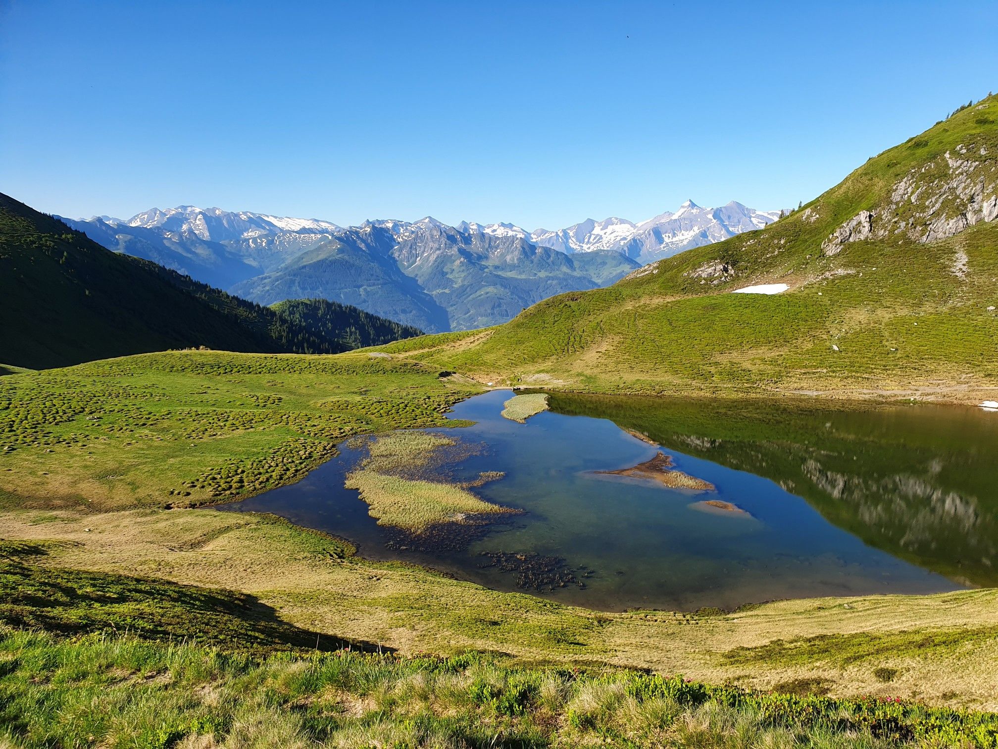
Hohe Tauern Panorama Trail – Face-to-face with 3000-metre peaks
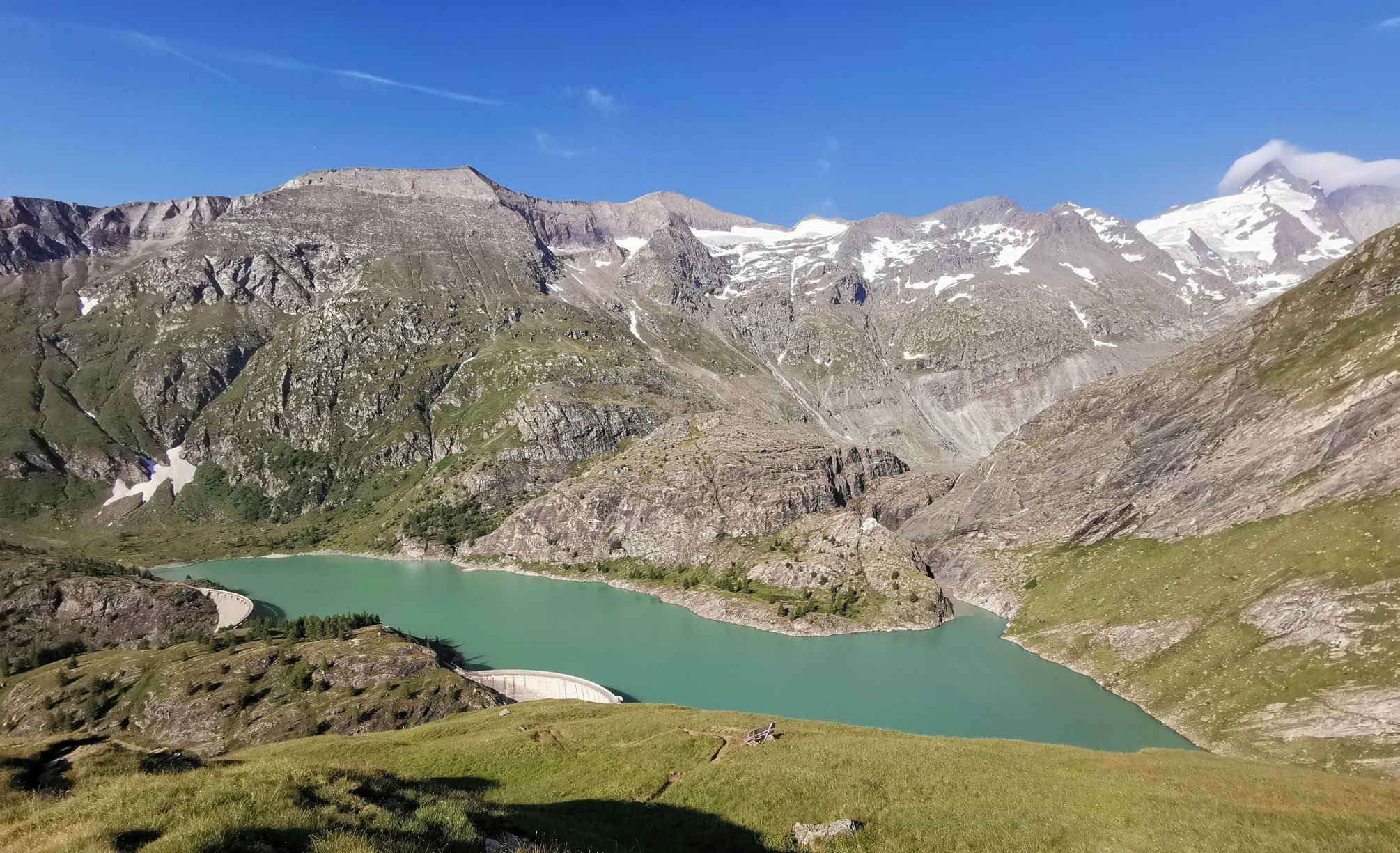
The Grossglockner – Circumnavigate Austria's highest mountain
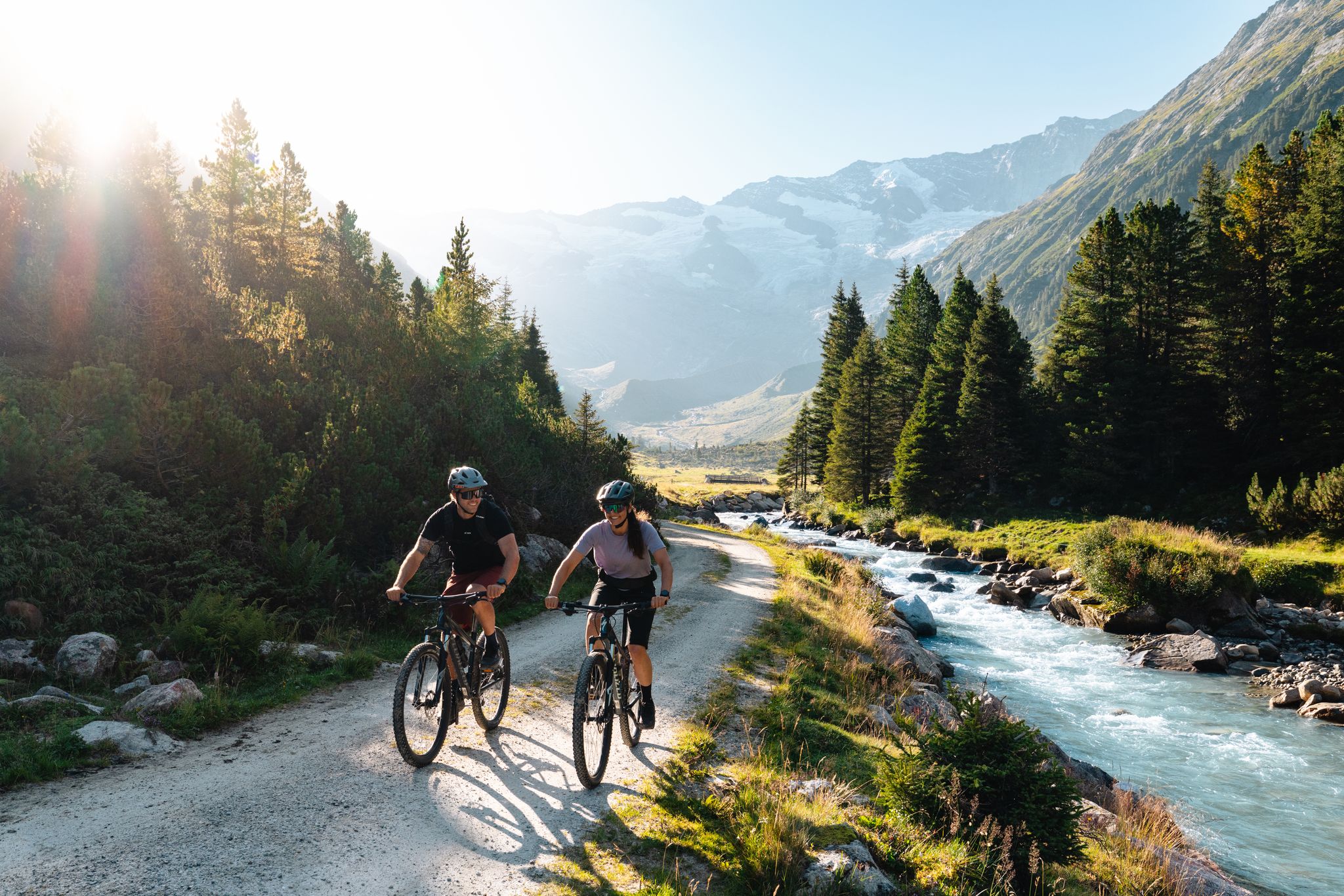
14 stages through the national park valleys – Hohe Tauern Bike Trail
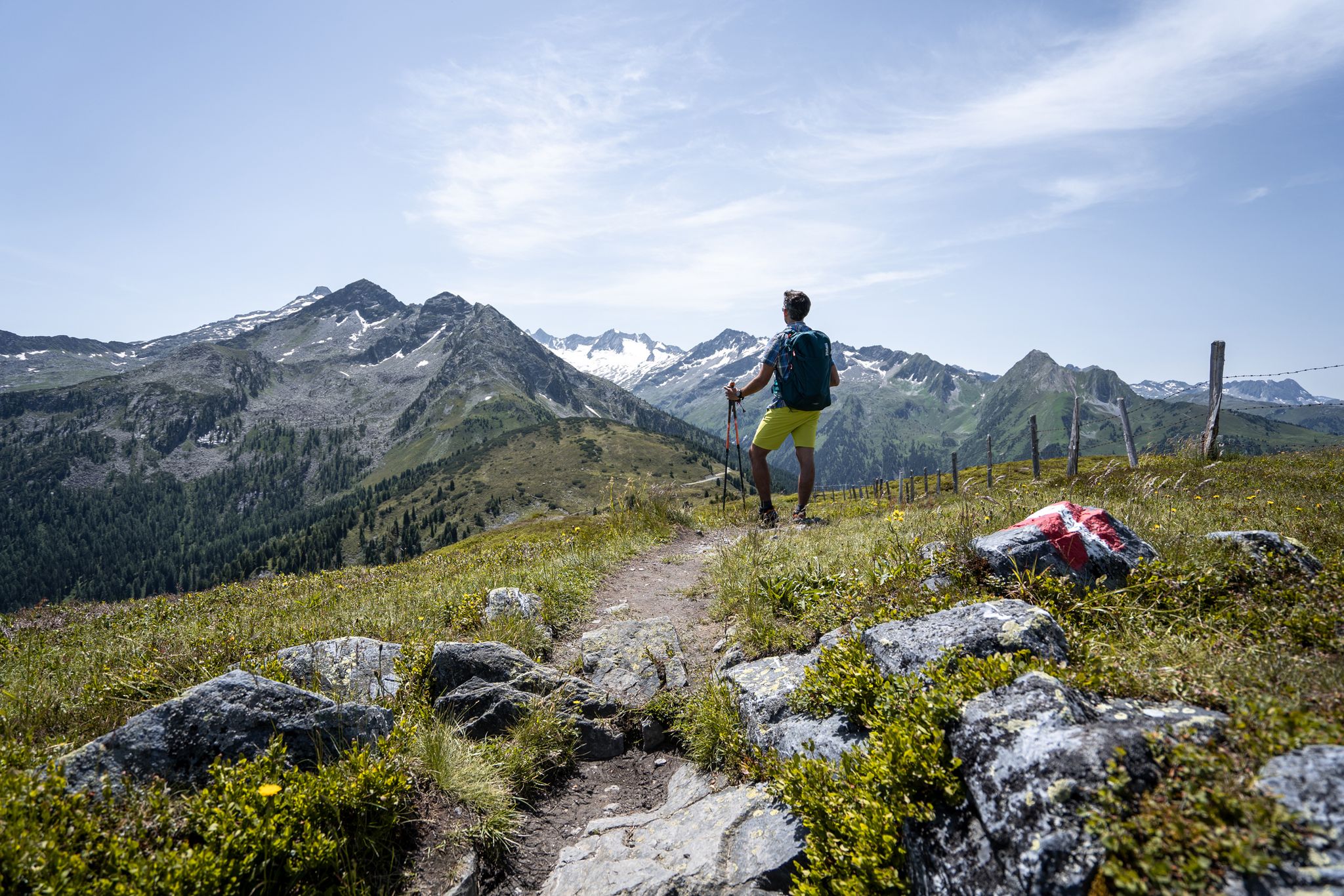
Best views of the highest mountains — Hohe Tauern Panorama Trail
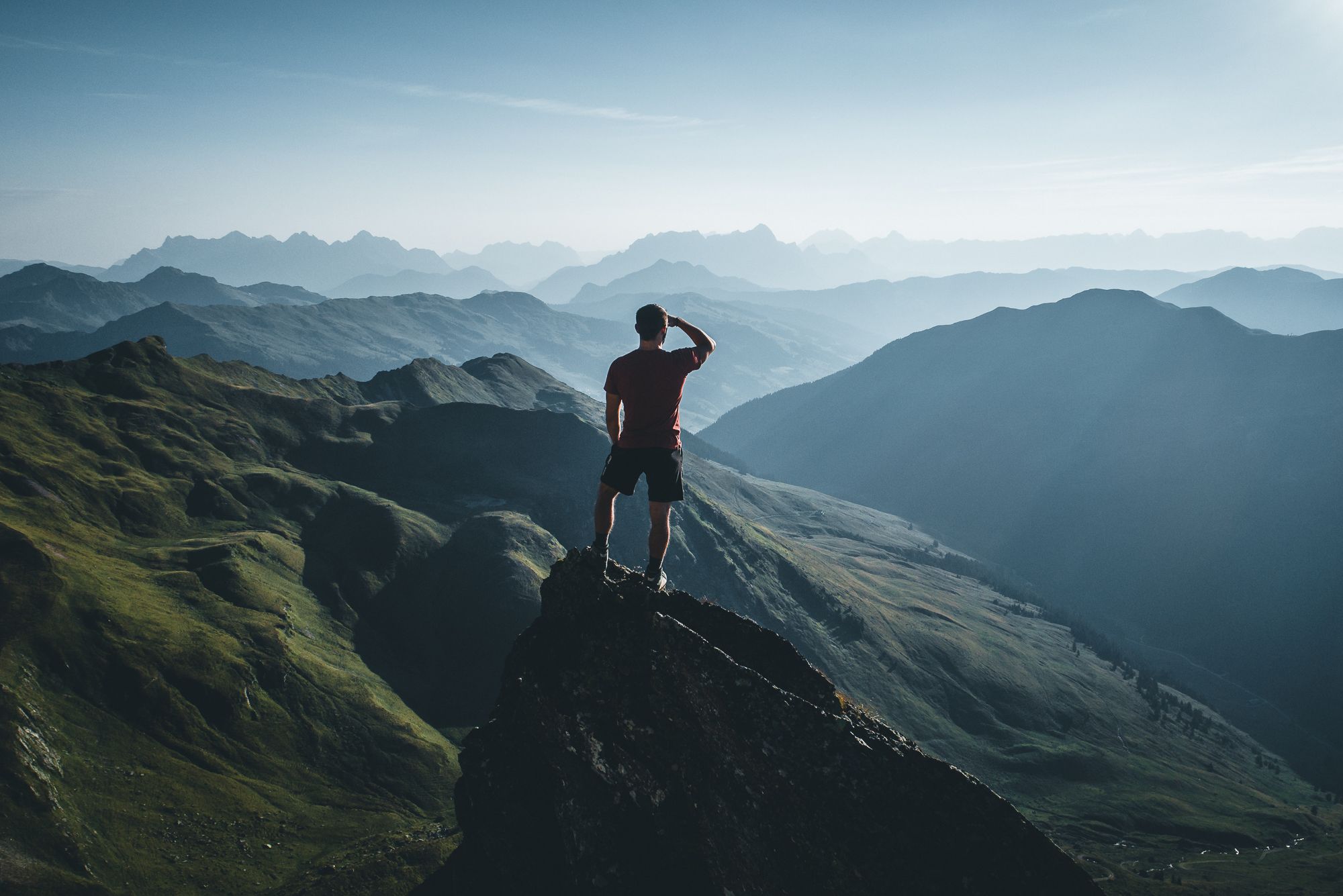
On a voyage of discovery in Austria’s High Tauern National Park

Gravel biking around Uttendorf
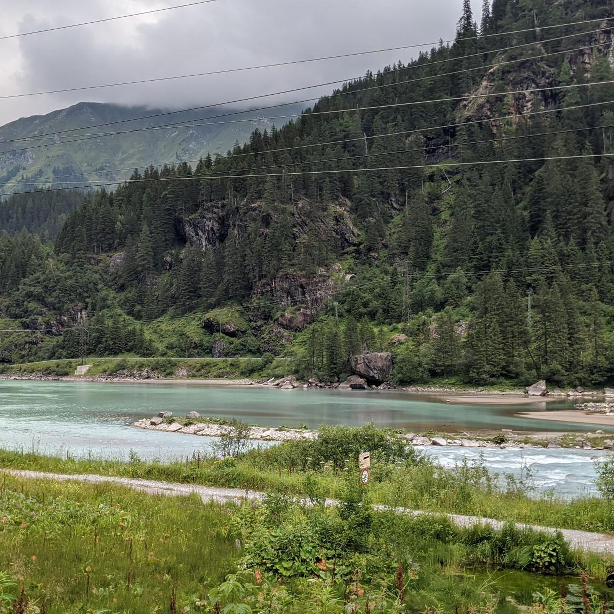
Hiking around Uttendorf
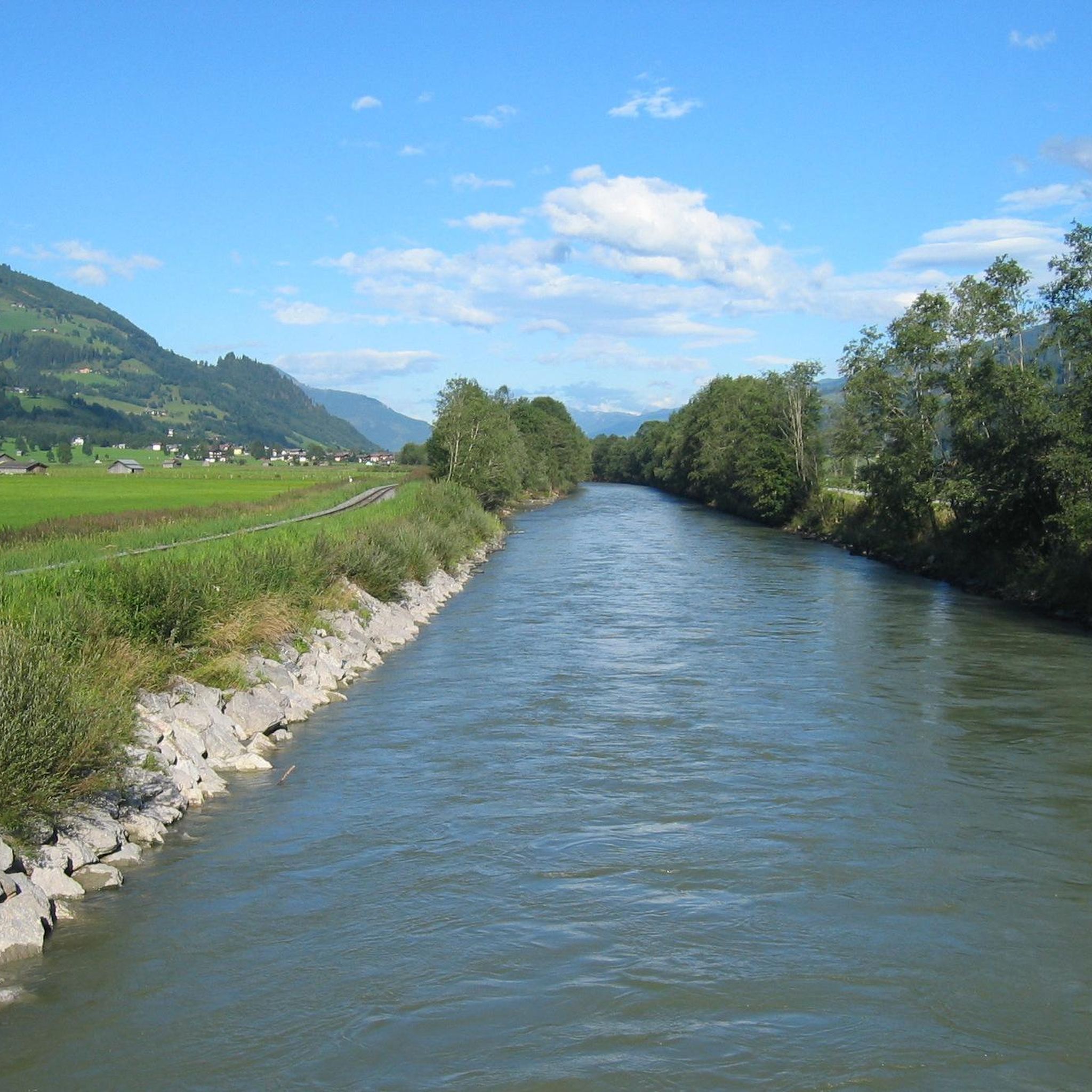
Road Cycling Routes around Uttendorf
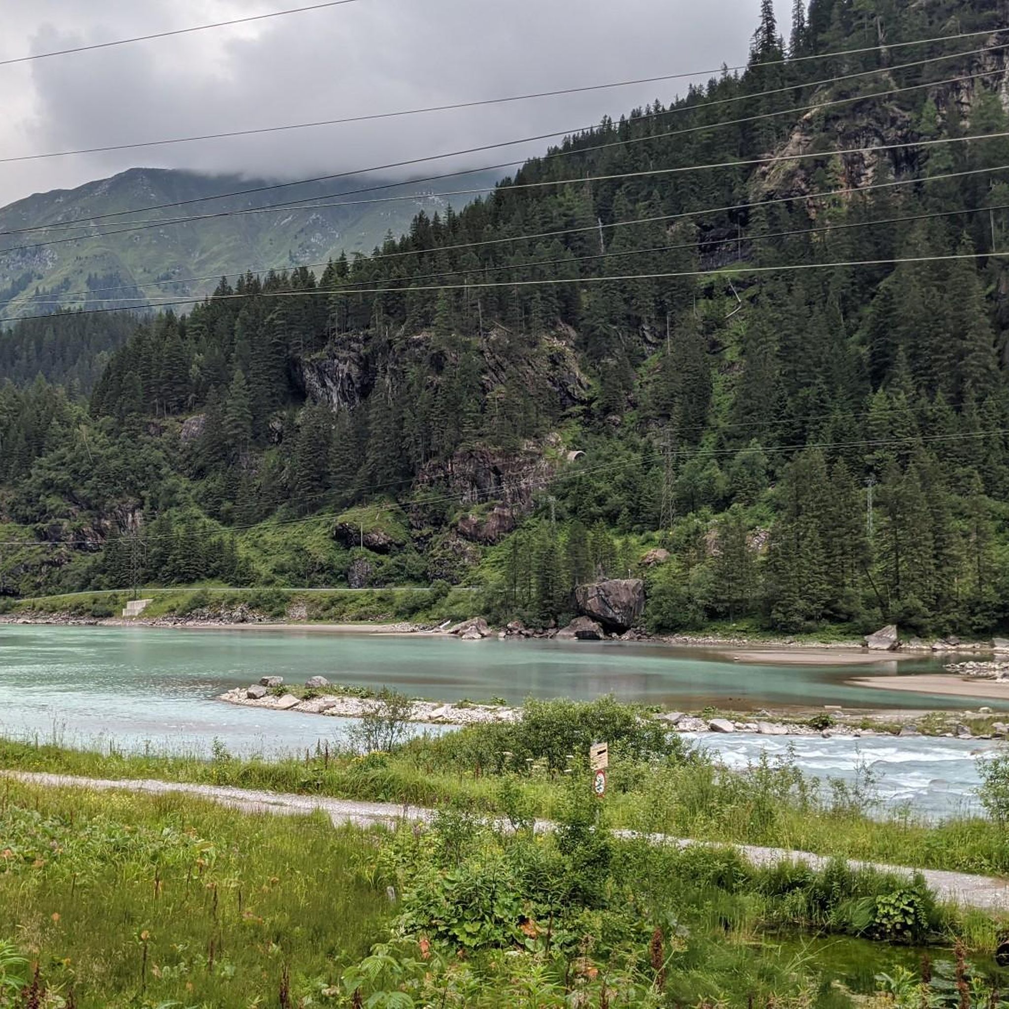
Cycling around Uttendorf
MTB Trails around Uttendorf
Other adventures around Uttendorf


Tips from the Community

A good place to undertake beautiful tours. The local gastronomy is unfortunately mediocre.
0
0

There are excellent cycle paths along the Salzach river.
0
0

For me, Rudolfshütte is pretty unique, at least here in the Hohe Tauern region. The hotel is located at around 2,300 meters altitude. So you not only have a guarantee of snow, but also a great starry sky on clear nights and a wonderful view of the glacier. And all this with full hotel service and sauna. Since the ski area hasn't really been developed, there are more mountain athletes up here than ski tourists and that's a great combination.
3
0


The cycle path from Kaprun to Mittersill is almost flat. There are 3 somewhat steeper short climbs.
1
0


From the Mittelstation you get a nice panoramic look into the valley in front of you. It is definately rewarding to hike further up into the valley as the scenery will only get more spectacular.
0
0
Frequently Asked Questions
How many running routes are available in Uttendorf?
Uttendorf offers a diverse selection of over 10 dedicated running routes. These range from gentle paths around the Adventure Lake to more challenging trails through high-alpine landscapes, catering to various fitness levels.
Are there easy running routes suitable for beginners or families in Uttendorf?
Yes, Uttendorf has several routes perfect for beginners or families. The area around the Adventure Lake Uttendorf provides a flat, accessible path. For example, the Badesee Uttendorf loop from Uttendorf i. P. Manlitzbrücke is a moderate 5.5-mile (8.9 km) path that offers a relaxed run suitable for all skill levels.
What kind of terrain can I expect on running trails in Uttendorf?
The running trails in Uttendorf offer a wide variety of terrain. You can find mostly paved, gentle surfaces around the Adventure Lake, as well as more challenging routes through alpine meadows, glacial valleys, and high-alpine environments with significant elevation changes. The region is nestled at the edge of the Hohe Tauern National Park, providing stunning mountain and glacier views.
Are there any circular running routes in Uttendorf?
Yes, many of the running routes in Uttendorf are circular, allowing you to start and end at the same point. The Badesee Uttendorf loop is a popular circular option around the lake, and the Grünsee loop from Berghotel Rudolfshütte offers a more challenging circular experience in high-alpine scenery.
What are some scenic viewpoints or attractions along the running routes?
Uttendorf's routes offer breathtaking scenery. You can enjoy views of the Grünsee lake on the Grünsee loop, or glacier views on the Grünsee – Hinterer Schafbichl loop. The Stubachtal valley, accessible from Uttendorf, is known for its numerous waterfalls, gorges, and impressive views of 3,000-meter peaks. You might also encounter huts like the Rudolfshütte Mountain Hotel along some high-alpine trails.
Is it possible to run in Uttendorf during winter?
While many high-alpine trails may be challenging or inaccessible due to snow in winter, the region around Uttendorf still offers opportunities for winter running. Lower elevation paths, especially around the Adventure Lake, might be suitable depending on snow conditions. Always check local conditions and trail reports before heading out in winter.
Are there any running routes that include a cafe or refreshment stop?
Some routes, particularly those in higher alpine areas, may pass by mountain huts or hotels that offer refreshments. For instance, the Grünsee loop starts from the Berghotel Rudolfshütte, which can serve as a starting or ending point for refreshments. In the valley, Uttendorf village itself provides various options for a post-run coffee or meal.
What do other runners enjoy most about jogging in Uttendorf?
The running routes in Uttendorf are highly rated by the komoot community, with an average score of 4.2 stars from over 160 reviews. Runners frequently praise the stunning high-alpine scenery, the variety of terrain from lakeside paths to challenging mountain trails, and the well-maintained routes that offer both relaxation and adventure.
Are the running trails in Uttendorf dog-friendly?
Many outdoor trails in the Uttendorf region are dog-friendly, but it's always advisable to keep your dog on a leash, especially in nature protection areas like the Hohe Tauern National Park, and when encountering wildlife or livestock. Always carry water for your dog and clean up after them.
Where can I find parking for the running routes in Uttendorf?
Parking is generally available at key starting points for many routes. For trails around the Adventure Lake, there is parking in Uttendorf itself. For high-alpine routes like those in the Stubachtal valley or near the Weißsee Glacier World, designated parking areas are typically found at cable car stations or trailheads, such as Enzingerboden.
Can I reach running trails in Uttendorf using public transport?
Uttendorf is well-connected by public transport, making it possible to reach various starting points for running trails. Buses serve the village and some surrounding areas, including the Stubachtal valley, which provides access to higher-altitude trails. Check local bus schedules for specific routes and timings.
What is the longest running route available in Uttendorf?
Among the featured routes, the Grünsee – Hinterer Schafbichl loop from Enzingerboden Weißseeseilbahn is one of the longer options, covering 7.6 miles (12.2 km) through high-alpine terrain with significant elevation gain, offering a substantial challenge for endurance runners.
Most popular routes around Uttendorf
Most popular attractions around Uttendorf

Get inspired with the komoot mobile app


Explore more
Browse the best Running Trails & Routes in other regions.
