The best running trails in Bezirk Waidhofen an der Thaya
4.6
(21)
375
runners
67
runs
Jogging in Bezirk Waidhofen an der Thaya offers diverse landscapes for outdoor activity. The region is characterized by a mix of forests, river valleys, and rolling hills, providing varied terrain for runners. The Thaya River flows through the area, with many routes following its course, while the "Waldviertel" name highlights the abundance of wooded areas like Jetzleser Wald. The district's highest point, Predigtstuhl at 718 meters, presents options for routes with more elevation.
Best jogging routes in Bezirk Waidhofen an…
Last updated: October 5, 2026
17
runners
9.80km
01:03
100m
100m
Moderate run. Good fitness required. Mostly paved surfaces. Suitable for all skill levels.
16
runners
Moderate run. Good fitness required. Mostly paved surfaces. Suitable for all skill levels.

5.0
(2)
13
runners
7.69km
00:50
90m
90m
Moderate run. Good fitness required. Mostly paved surfaces. Suitable for all skill levels.
10
runners
5.47km
00:34
40m
40m
Moderate run. Good fitness required. Mostly paved surfaces. Suitable for all skill levels.
9
runners
13.6km
01:26
140m
140m
Moderate run. Good fitness required. Mostly paved surfaces. Suitable for all skill levels.
5.0
(1)
9
runners
7.92km
00:51
80m
80m
Moderate run. Good fitness required. Mostly paved surfaces. Suitable for all skill levels.
10
runners
8.15km
00:51
80m
80m
Moderate run. Good fitness required. Mostly paved surfaces. Suitable for all skill levels.
11
runners
8.04km
01:01
190m
190m
Moderate run. Good fitness required. Mostly paved surfaces. Suitable for all skill levels.
10
runners
Moderate run. Good fitness required. Mostly paved surfaces. Suitable for all skill levels.
7
runners
Moderate run. Good fitness required. Mostly paved surfaces. Suitable for all skill levels.
Get access to more routes and recommendations from other explorers.
Already have an account?
Our route recommendations are based on thousands of hikes, rides, and runs completed by other people on komoot.
Start today with a free account
Your next adventure awaits.
Popular around Bezirk Waidhofen an der Thaya
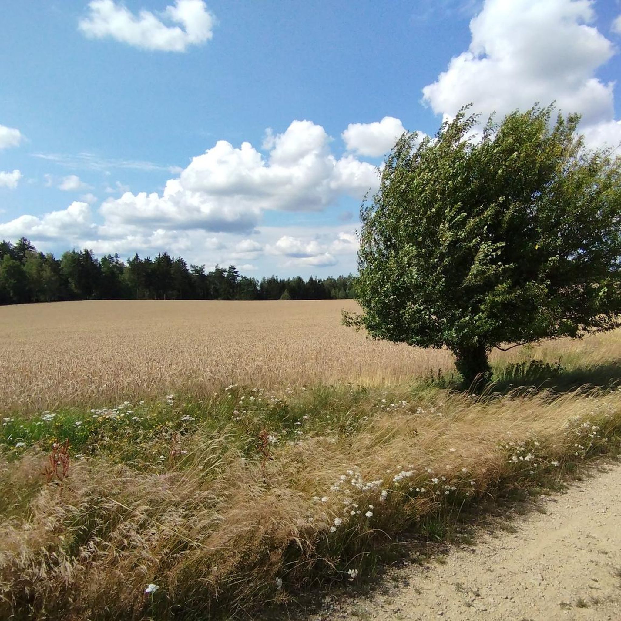
Running Trails in Hartwald
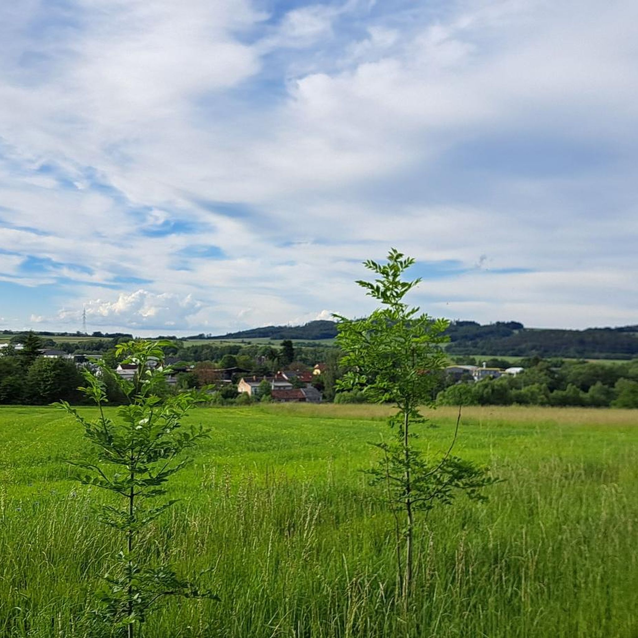
Running Trails around Groß-Siegharts
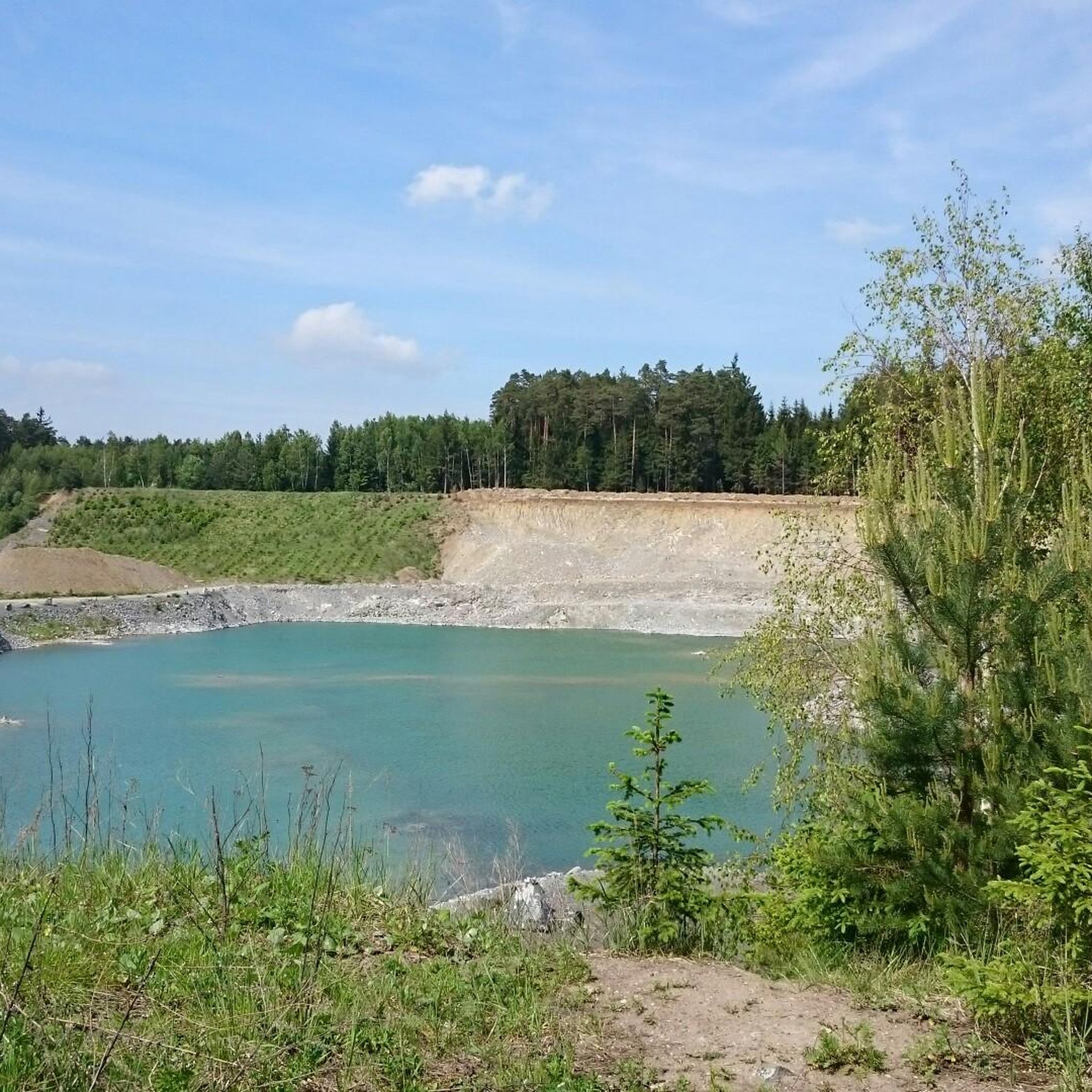
Running Trails in Die Wild
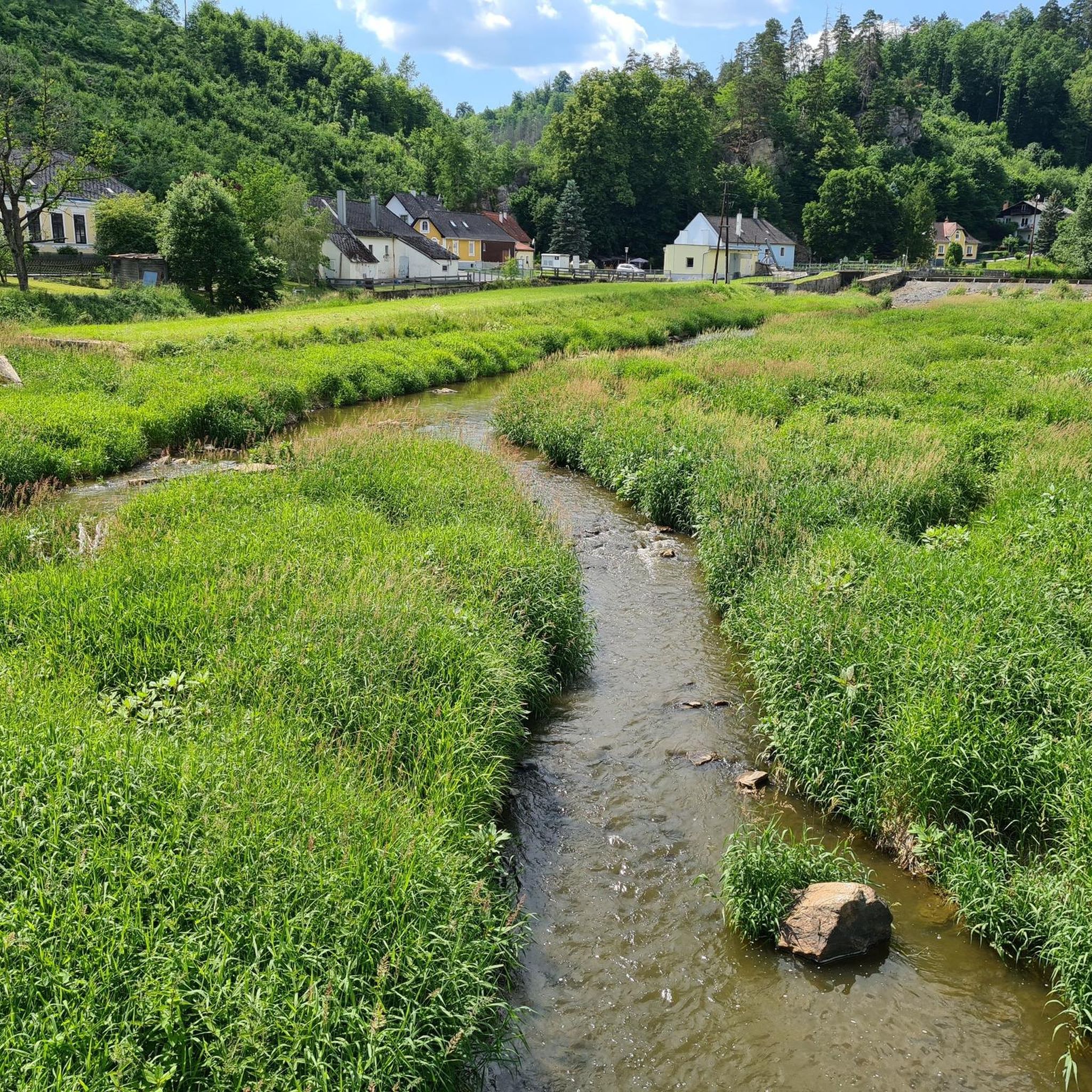
Running Trails around Ludweis-Aigen
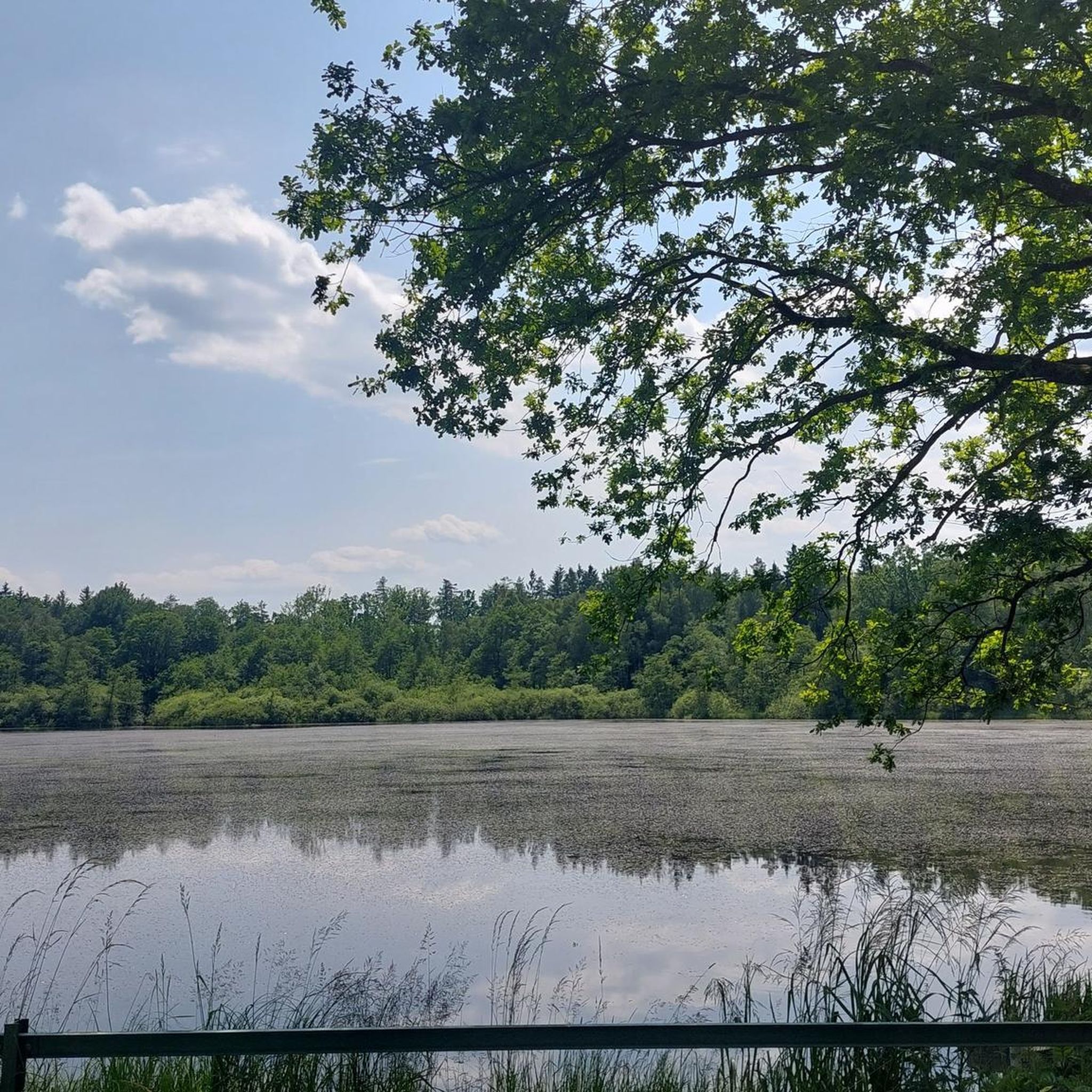
Running Trails in Kirchenwald
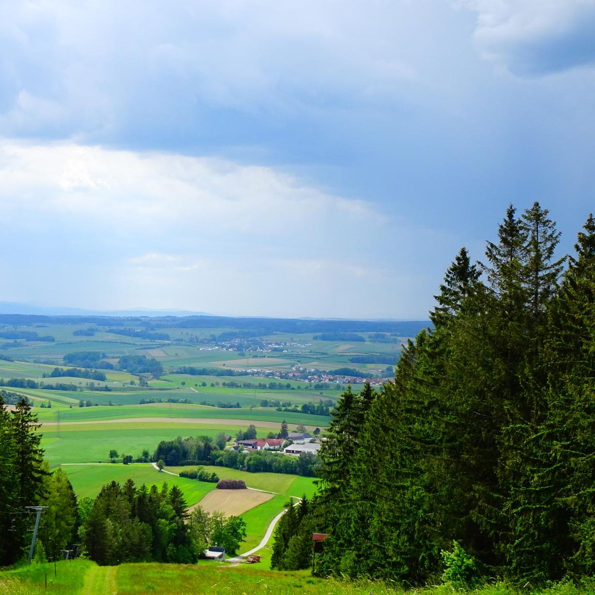
Running Trails around Dietmanns
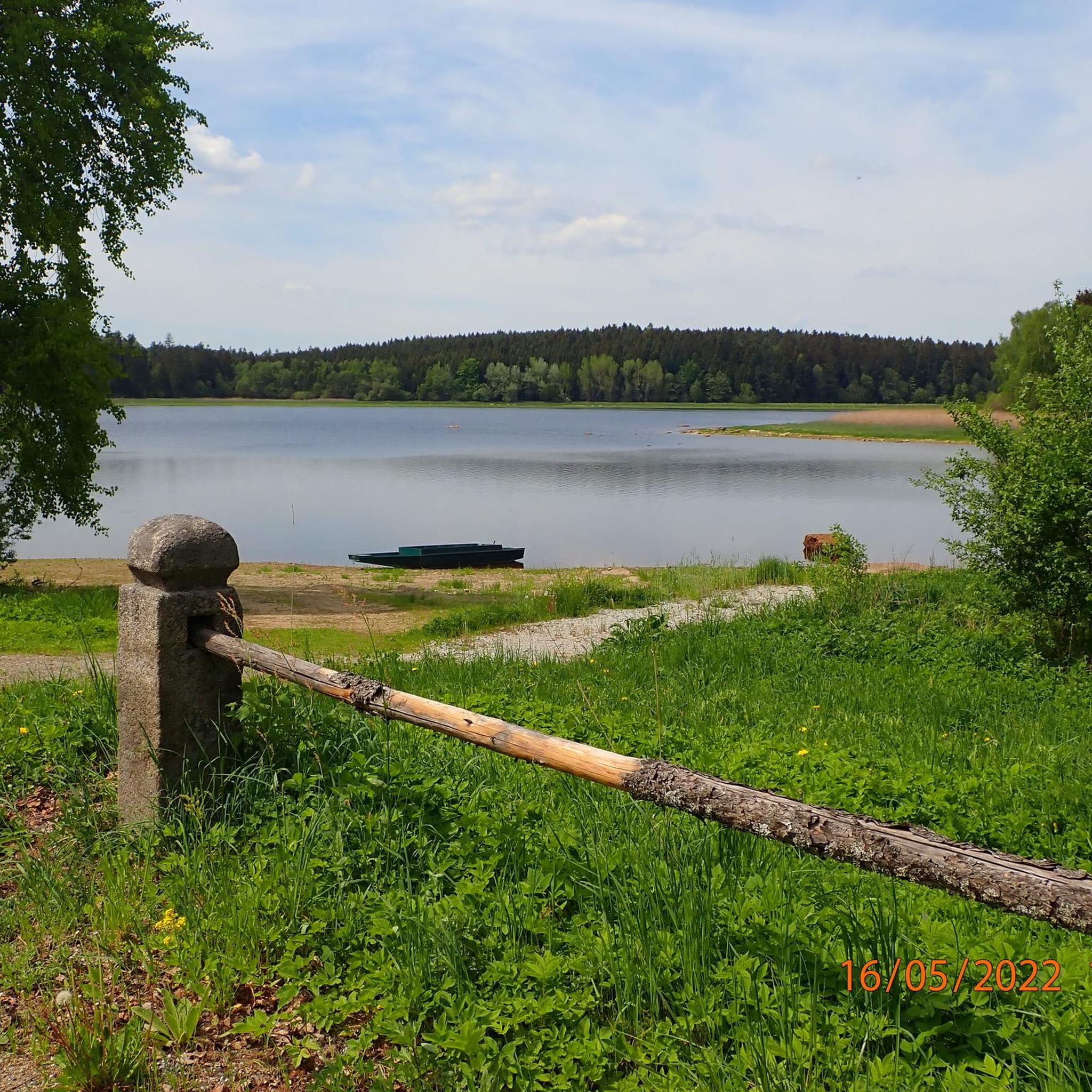
Running Trails around Pfaffenschlag bei Waidhofen an der Thaya
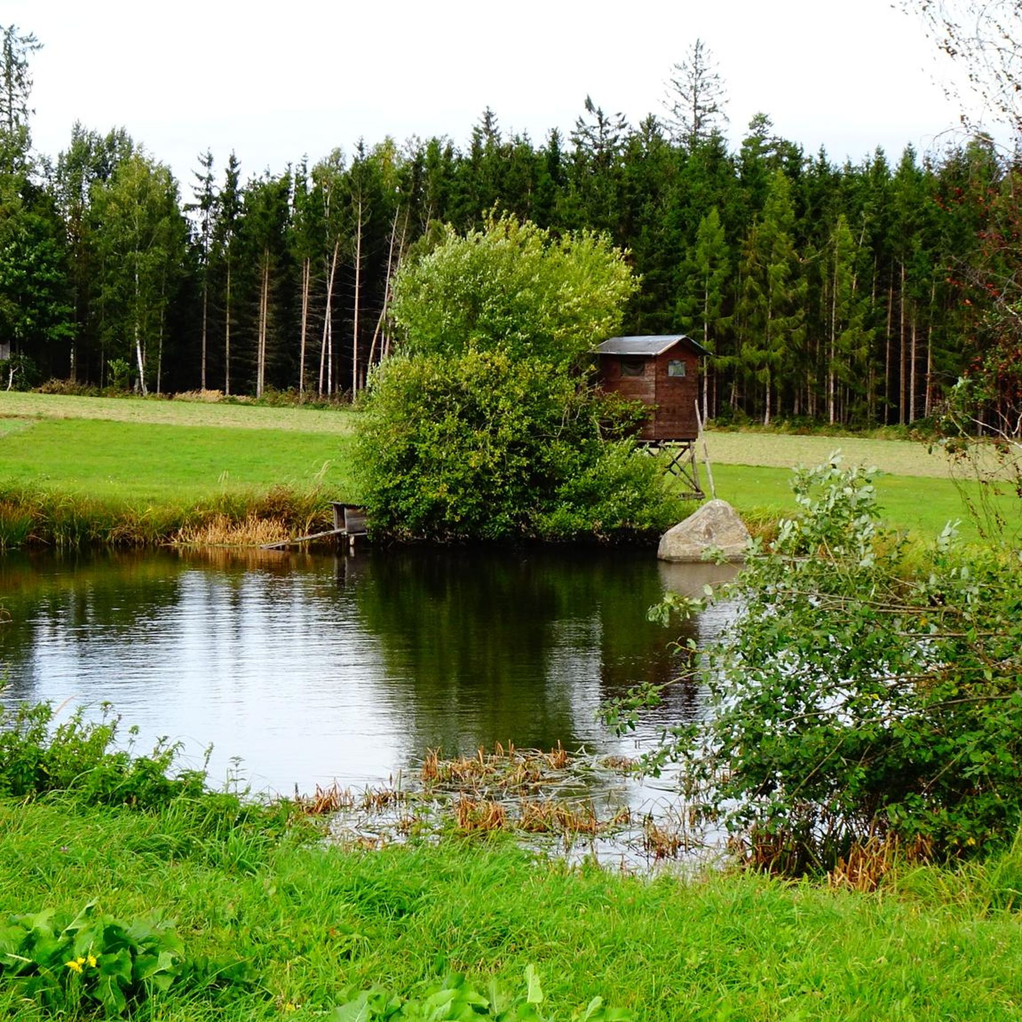
Running Trails in Radlbachwald
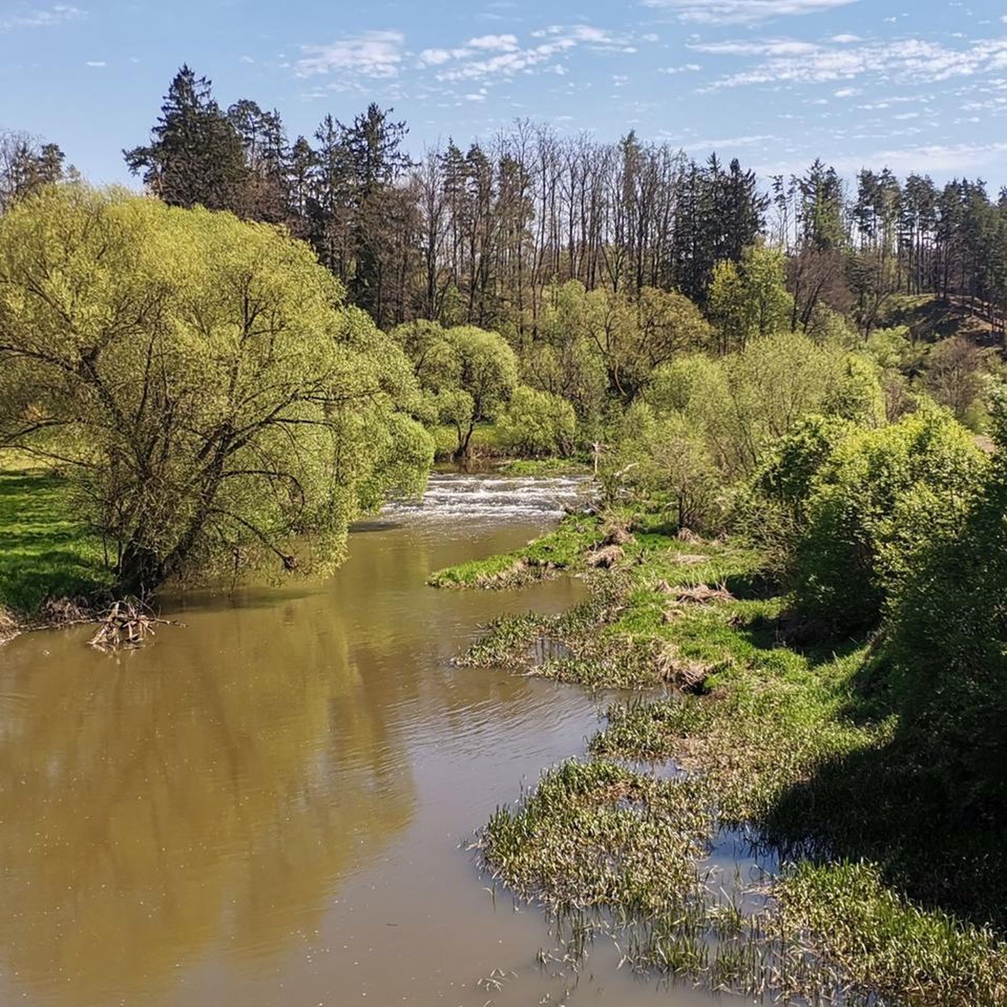
Running Trails around Thaya
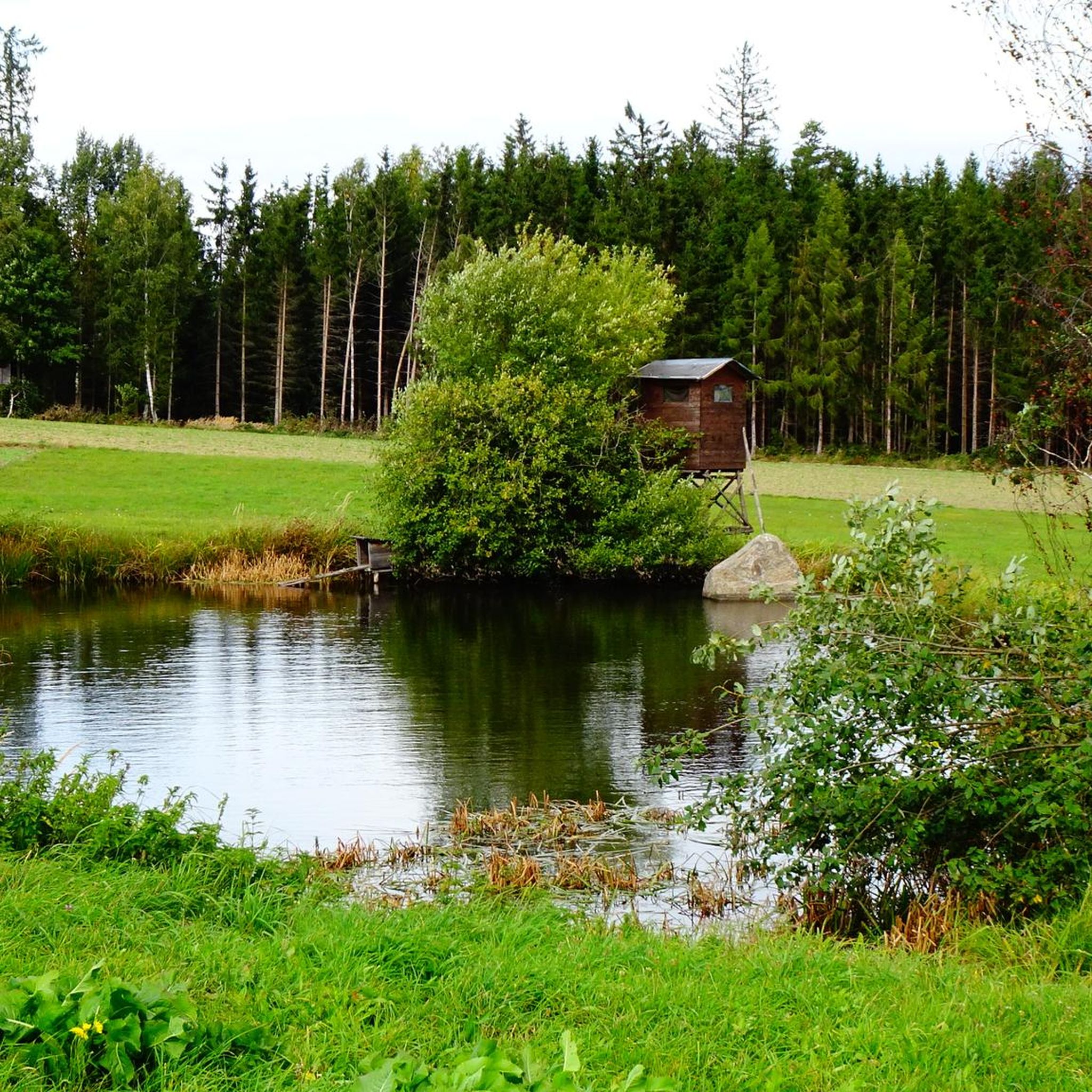
Running Trails in Schacherwald
Other adventures in Bezirk Waidhofen an der Thaya


Tips from the Community

Fun spot for a break in between, but no shade
0
0
Normally, the Thaya is very shallow here and flows over stones like a small waterfall. Looks nice.
0
0

The former castle was located east of the present church, with the church grounds incorporated into the complex. The village of Vestenötting was formerly called Netich, and a noble residence was first mentioned here in 1255 by Hernestus de Netich (Ernst von Netich), who appears as a witness in a document. These were vassals of Hans von Traun from Waidhofen, to whom the property reverted in 1385. The castle was severely damaged by the Hussites in 1430 and no longer appears in any documents. In 1456, Wolfgang von Traun and his relatives were granted the Netichen estate near Waidhofen an der Teya. Later, Wolfgang Gaßner was granted the church fief of Nettig. Around 1587, Pilgrim von Puchheim had a "new storey" built near the mill and the farmyard, today's Vestenötting Castle. Building materials from the destroyed castle were also used for this purpose. In the 19th century, the estate was merged with the neighboring Waidhofen estate, and the castle became the seat of the forestry administration. The severely neglected building, last renovated in 1903 and largely empty, now belongs to the Counts Gudenus, who live in Waidhofen Castle.
0
0

A lovingly maintained castle ruin in the middle of the Waldviertel Kamp landscape
1
0

Here a foot and cycle bridge takes you over the Deutsche Thaya. As you cross, you have great views of the river.
0
0
According to legend, the lord of the castle asked the devil for his help to build the Bohemian Wall within seven days. When the devil wanted to drag the client to hell after the construction had been completed on time as agreed, the client refused and clung to the gate so tightly that his fingers left marks in the stone. Until a few years ago, there were actually five depressions that, given their size and position relative to each other, could have been made by fingers. However, these "fingerprints" were destroyed by vehicles that hit the gate and damaged it. Source: Wikipedia
0
0

Great place in the forest
1
0

Castle visits are possible with a guide, but only on weekends. Getting there is the easiest when approaching the Raabs an der Thaya from the south. Road uphills from the town centre is very steep, so prepare for pushing the bike.
0
0
Frequently Asked Questions
How many running routes are available in Bezirk Waidhofen an der Thaya?
There are over 70 running routes documented on komoot for Bezirk Waidhofen an der Thaya, catering to various fitness levels. These include 8 easy routes, 60 moderate routes, and 5 more challenging trails.
Are there any easy running routes suitable for beginners in Bezirk Waidhofen an der Thaya?
Yes, Bezirk Waidhofen an der Thaya offers several easy running routes perfect for beginners. These trails typically feature gentler terrain and shorter distances, allowing for a comfortable introduction to running in the region. You can find 8 easy routes on komoot.
What kind of terrain can I expect on the jogging trails in Bezirk Waidhofen an der Thaya?
The jogging trails in Bezirk Waidhofen an der Thaya offer a diverse mix of terrain. You'll find routes winding along the scenic Thaya River, through expansive forests like the Jetzleser Wald and Hartwald, and over rolling hills. Some paths are paved, while others are natural forest trails, providing varied surfaces for your run.
Are there any running routes with significant elevation gain for a more challenging workout?
Absolutely. For those seeking a challenge, routes around the district's highest point, the Predigtstuhl at 718 meters, offer notable elevation gain. An example is the Predigtstuhl Summit (718 m) – Satzling (618 m) loop from Dietmanns, which features nearly 190 meters of ascent over 8 km.
Can I find circular running routes in Bezirk Waidhofen an der Thaya?
Yes, many of the running routes in Bezirk Waidhofen an der Thaya are circular, allowing you to start and end at the same point. A popular option is the Löschteich loop from Windigsteig, a 9.8 km moderate trail.
Are there any scenic viewpoints or natural landmarks along the running trails?
The region is rich in scenic spots. Many routes follow the Thaya River, offering tranquil views. You can also find trails leading to natural monuments like the Jungfernstein Rock Formation or offering panoramic vistas from higher elevations. The Ruins of Kollmitz Castle – View of Raabs Castle loop from Raabs an der Thaya provides both historical sights and beautiful river views.
Are the running routes in Bezirk Waidhofen an der Thaya suitable for families?
Yes, many routes are family-friendly, especially those with less elevation and smoother paths. The diverse landscape means you can choose trails that are enjoyable for all ages, often combining a run with a leisurely walk or exploring natural features. Look for easy to moderate routes for family outings.
What do other runners say about the trails in Bezirk Waidhofen an der Thaya?
The running routes in Bezirk Waidhofen an der Thaya are highly rated by the komoot community, with an average score of 4.6 stars from over 10 reviews. Runners often praise the serene river landscapes, expansive forests, and well-maintained paths that offer a refreshing outdoor experience.
Are there any historical sites or attractions I can see while running?
Yes, you can combine your run with cultural exploration. The impressive Burgruine Kollmitz (castle ruins), perched above the Thaya, is a notable historical landmark that can be incorporated into your route. The historic town center of Waidhofen an der Thaya also offers charming sights for a post-run stroll.
Is it possible to access running routes using public transport in Bezirk Waidhofen an der Thaya?
While specific public transport access points vary by route, the region has some connectivity. For detailed information on reaching specific trailheads, it's advisable to check local public transport schedules and connections to towns like Waidhofen an der Thaya or Raabs an der Thaya, which serve as starting points for many routes.
Are there running routes that pass by the Thaya River?
Many running routes in Bezirk Waidhofen an der Thaya follow the picturesque Thaya River. The town of Waidhofen an der Thaya itself is situated on the upper reaches of the Deutsche Thaya, and routes like the Bridge over the Deutsche Thaya loop from Waidhofen an der Thaya offer beautiful riverside scenery.
What is the best time of year to go running in Bezirk Waidhofen an der Thaya?
The region is beautiful year-round, but spring and autumn offer particularly pleasant conditions for running with mild temperatures and vibrant natural colors. Summer mornings and evenings are also ideal to avoid the midday heat, while winter can provide unique snowy landscapes for those prepared for colder conditions.
Most popular routes in Bezirk Waidhofen an der Thaya
Most popular attractions in Bezirk Waidhofen an der Thaya

Get inspired with the komoot mobile app


Didn’t find what you were looking for?
Check out more Running Trails & Routes throughout Bezirk Waidhofen an der Thaya below and find the perfect route in your destination.
Explore more
Browse the best Running Trails & Routes in other regions.
