Easy hikes and walks in Bezirk Waidhofen an der Thaya
4.6
(1420)
6,858
hikers
282
hikes
Easy hiking trails in Bezirk Waidhofen an der Thaya traverse a landscape shaped by the Thaya River and the Waldviertler Hochland. The region features extended forest areas, including spruce and mixed forests, offering quiet paths for exploration. Hikers encounter diverse natural features such as unique rock formations in Blockheide Nature Park and the distinct environment of Moorbad Harbach Nature Reserve. The terrain generally includes gentle hills and riverside paths, making it suitable for easy walks.
Best easy hiking trails in…
Last updated: October 4, 2026
5.0
(16)
65
hikers
5.03km
01:28
140m
140m
Easy hike. Great for any fitness level. Easily-accessible paths. Suitable for all skill levels.
5.0
(16)
52
hikers
4.96km
01:28
140m
140m
Easy hike. Great for any fitness level. Easily-accessible paths. Suitable for all skill levels.

4.8
(12)
44
hikers
Easy hike. Great for any fitness level. Easily-accessible paths. Suitable for all skill levels.
4.3
(4)
34
hikers
Easy hike. Great for any fitness level. Easily-accessible paths. Suitable for all skill levels.
5.0
(2)
34
hikers
5.37km
01:24
30m
30m
Easy hike. Great for any fitness level. Easily-accessible paths. Suitable for all skill levels.
4.9
(8)
15
hikers
Easy hike. Great for any fitness level. Easily-accessible paths. Suitable for all skill levels.
4.4
(5)
24
hikers
Easy hike. Great for any fitness level. Easily-accessible paths. Suitable for all skill levels.
4.0
(3)
25
hikers
6.50km
01:43
60m
60m
Easy hike. Great for any fitness level. Easily-accessible paths. Suitable for all skill levels.
5.0
(6)
12
hikers
Easy hike. Great for any fitness level. Easily-accessible paths. Suitable for all skill levels.
5.0
(5)
16
hikers
Easy hike. Great for any fitness level. Easily-accessible paths. Suitable for all skill levels.
Get access to more routes and recommendations from other explorers.
Already have an account?
Our route recommendations are based on thousands of hikes, rides, and runs completed by other people on komoot.
Start today with a free account
Your next adventure awaits.
Popular around Bezirk Waidhofen an der Thaya

Easy hikes around Ludweis-Aigen
Easy hikes around Pfaffenschlag bei Waidhofen an der Thaya
Easy hikes around Gastern

Easy hikes in Kirchenwald
Easy hikes around Karlstein an der Thaya
Easy hikes in Radlbachwald
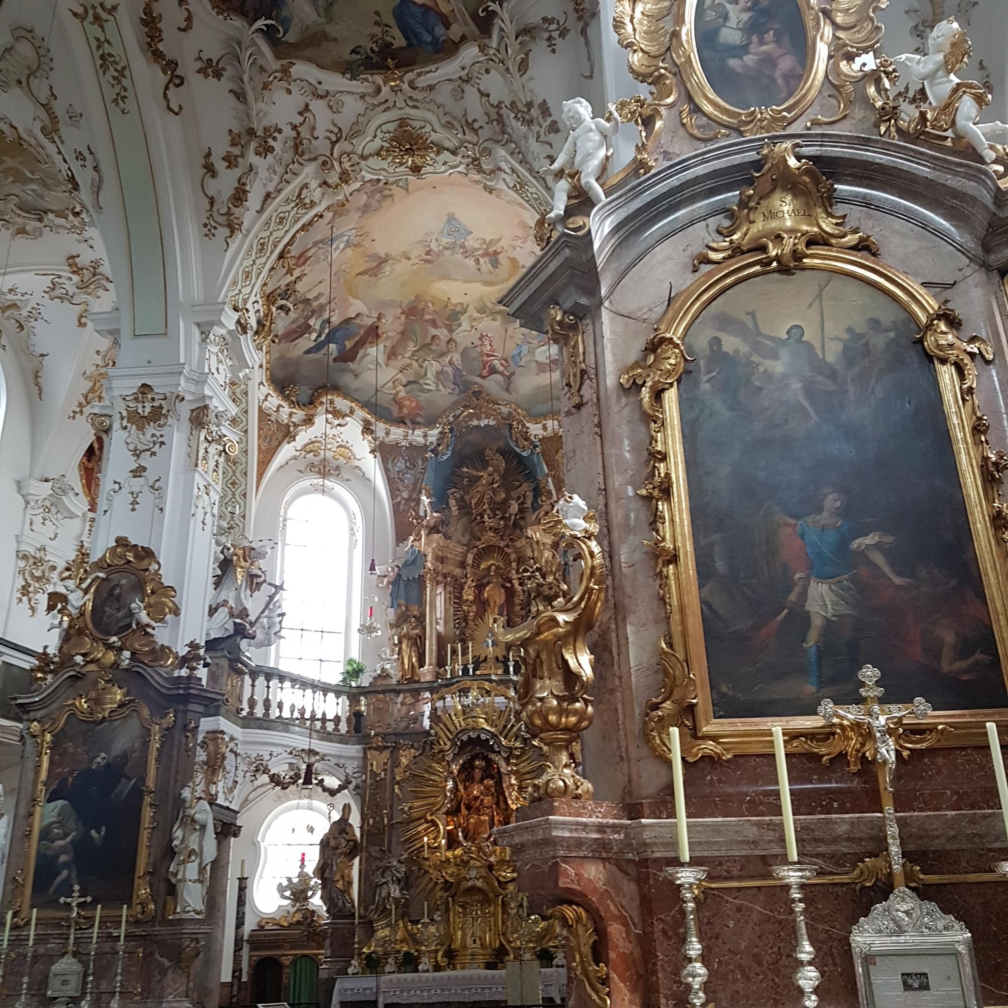
Easy hikes around Kautzen
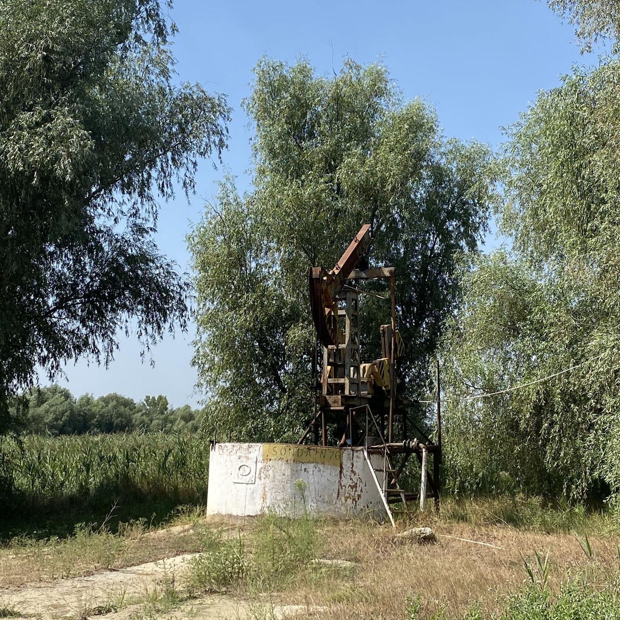
Easy hikes around Windigsteig
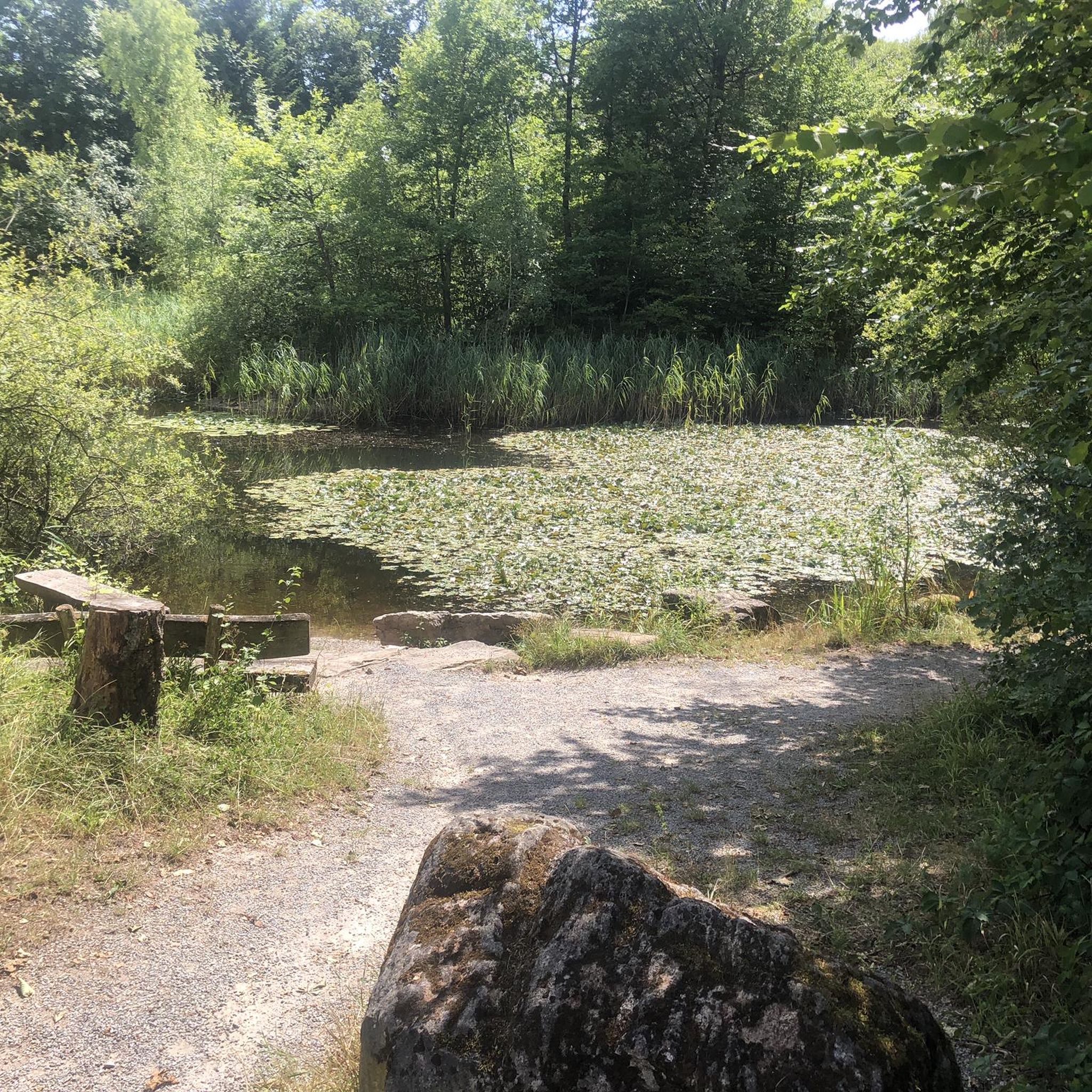
Easy hikes around Dobersberg

Easy hikes in Die Wild
Other adventures in Bezirk Waidhofen an der Thaya


Tips from the Community

Normally, the Thaya is very shallow here and flows over stones like a small waterfall. Looks nice.
0
0

The cemetery has been renovated!
0
0

A lovingly maintained castle ruin in the middle of the Waldviertel Kamp landscape
1
0
Two photos by Ni Na have nothing to do with the Stations of the Cross. One shows the ski lift in Ulrichschlag, 1.5 km from the Stations of the Cross, and the second shows the Bründl Chapel, 600 m away.
0
0

The "Marterl" (wayside shrines) are typical of the region and are an integral part of the landscape. Those who wish can take time for a short prayer, a quiet moment of reflection, or meditation. These places are an invitation to people with spiritual sensibilities.
0
0
Right at the beginning of the route you have a beautiful view of Raabs Castle.
0
0
Turn-off points in various directions: Bründl Chapel Matzles Diebsgraben - Matzles Pulpit Dietmanns
0
0

Opening Hours 2025: April 26 - September 28 Saturdays, Sundays, and Public Holidays Hourly guided tours from 10 a.m. to 6 p.m., no registration required (last tour at 5 p.m.) Group tours and weekdays by appointment with Mr. Karl Michael Liemberger at +43677/623 412 26
1
0
Frequently Asked Questions
How many easy hiking trails are available in Bezirk Waidhofen an der Thaya?
There are over 170 easy hiking trails in Bezirk Waidhofen an der Thaya, offering a wide variety of options for relaxed walks and gentle exploration of the region's natural beauty.
What kind of terrain can I expect on easy hikes in this region?
Easy hikes in Bezirk Waidhofen an der Thaya typically feature gentle hills, riverside paths along the Thaya River, and extended forest areas. You'll find quiet paths through spruce and mixed forests, as well as unique rock formations in areas like Blockheide Nature Park.
Are there any family-friendly easy hikes in Bezirk Waidhofen an der Thaya?
Yes, many easy trails are suitable for families. The region offers paths that are not too strenuous, allowing children to enjoy nature. For example, the area around the Ottenstein Reservoir features an adventure trail where children can playfully explore. While not specifically listed as family-friendly, routes like the Alpha Omega Sculpture loop from Waidhofen an der Thaya are relatively flat and short, making them good options.
Can I bring my dog on easy hiking trails in Bezirk Waidhofen an der Thaya?
Many trails in Bezirk Waidhofen an der Thaya are dog-friendly, especially those through forests and along the Thaya River. It's always recommended to keep your dog on a leash, especially near wildlife or other hikers, and to carry water for them. The natural environment provides plenty of opportunities for dogs to enjoy the outdoors.
What natural features or viewpoints can I discover on easy hikes?
You can explore diverse natural features such as the unique rock formations in Blockheide Nature Park and the distinct environment of Moorbad Harbach Nature Reserve with its wooden walkways over the moor. Many trails also offer scenic views of the Thaya River valley and the surrounding Waldviertler Hochland. The View of Raabs Castle loop from Raabs an der Thaya offers picturesque vistas.
Are there historical sites or landmarks along easy hiking routes?
Absolutely. Several easy trails lead to or pass by historical sites. You can explore the impressive Ruins of Kollmitz Castle, which is featured on routes like the Klinger Mausoleum – Ruins of Kollmitz Castle loop from Kollmitzdörfl. Other points of interest include the Eibenstein Castle Ruins and the Klinger Mausoleum.
What is the best time of year for easy hikes in Bezirk Waidhofen an der Thaya?
The region's natural beauty truly comes alive in spring with blooming flowers and vibrant greenery, and in autumn with colorful foliage, making these seasons ideal for easy hikes. Summer offers pleasant conditions for forest walks, while winter can provide serene, quiet experiences, though some paths might be less accessible depending on snow conditions.
Are there easy circular routes available?
Yes, many easy trails in Bezirk Waidhofen an der Thaya are designed as circular routes, allowing you to start and end at the same point. Examples include the Lower Hackelstein Rock Shelter – Bridge Over the Moravian Thaya loop from Raabs an der Thaya and the Fischstein Rock Formation – Drachenhöhle (Dragon Cave) loop from Dietmanns.
How long do easy hikes typically take in this area?
Easy hikes in Bezirk Waidhofen an der Thaya vary in length but generally range from 1.5 to 2.5 hours. For instance, the Klinger Mausoleum – Ruins of Kollmitz Castle loop is about 3.1 miles (5.0 km) and takes approximately 1 hour 28 minutes, while the Deer Statue at Hahnmühle loop from Liebnitz is around 4.4 miles (7.0 km) and takes about 1 hour 56 minutes.
What do other hikers say about the easy trails in Bezirk Waidhofen an der Thaya?
The easy trails in Bezirk Waidhofen an der Thaya are highly rated by the komoot community, with an average score of 4.7 stars from over 400 reviews. Hikers often praise the quiet woodlands, scenic riverside paths, and the well-marked nature of the trails, making them enjoyable for all skill levels.
Is parking available at the trailheads for easy hikes?
Yes, parking is generally available near the starting points of many popular easy hiking trails. Specific parking information can often be found on individual route pages on komoot, or by checking local signage at the trailheads.
Are there any easy hikes that pass by lakes or other water bodies?
While the Thaya River is a prominent feature, the region also has several lakes. Some trails may pass near smaller ponds or offer views of larger bodies of water like the Ottenstein Reservoir. You can find highlights for various lakes such as Waldbad Naturbad Zwettl or Winkelauer Teich, which might be accessible via easy paths.
Most popular routes in Bezirk Waidhofen an der Thaya
Most popular attractions in Bezirk Waidhofen an der Thaya

Get inspired with the komoot mobile app


Didn’t find what you were looking for?
Check out more Hikes throughout Bezirk Waidhofen an der Thaya below and find the perfect route in your destination.
Explore more
Browse the best Hikes in other regions.
