The best running trails around Panfield
4.3
(12)
2,840
runners
257
runs
Jogging around Panfield offers a rural setting with varied landscapes suitable for outdoor activity. The area is characterized by open fields, woodlands, and copses, providing a peaceful environment for runners. A network of footpaths allows access to extensive views across the open countryside from its plateau position. Wide grass verges and hedgerows within the village contribute to a green and pleasant running experience.
Best jogging routes around Panfield
- The most popular jogging route is Flitch Way Country Park loop from…
Last updated: October 5, 2026
66
runners
8.85km
00:55
60m
60m
Moderate run. Good fitness required. Mostly paved surfaces. Suitable for all skill levels.
15
runners
5.28km
00:33
40m
40m
Moderate run. Good fitness required. Mostly paved surfaces. Suitable for all skill levels.

4.0
(1)
7
runners
7.84km
00:48
20m
20m
Moderate run. Good fitness required. Mostly paved surfaces. Suitable for all skill levels.
6
runners
3.27km
00:20
10m
10m
Easy run. Great for any fitness level. Mostly paved surfaces. Suitable for all skill levels.
3
runners
5.25km
00:33
40m
40m
Moderate run. Good fitness required. Mostly paved surfaces. Suitable for all skill levels.
Get access to more routes and recommendations from other explorers.
Already have an account?
Our route recommendations are based on thousands of hikes, rides, and runs completed by other people on komoot.
Start today with a free account
Your next adventure awaits.
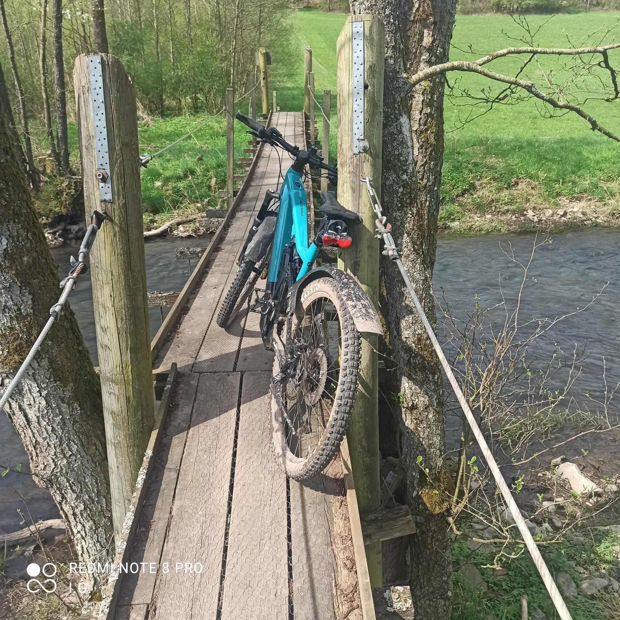
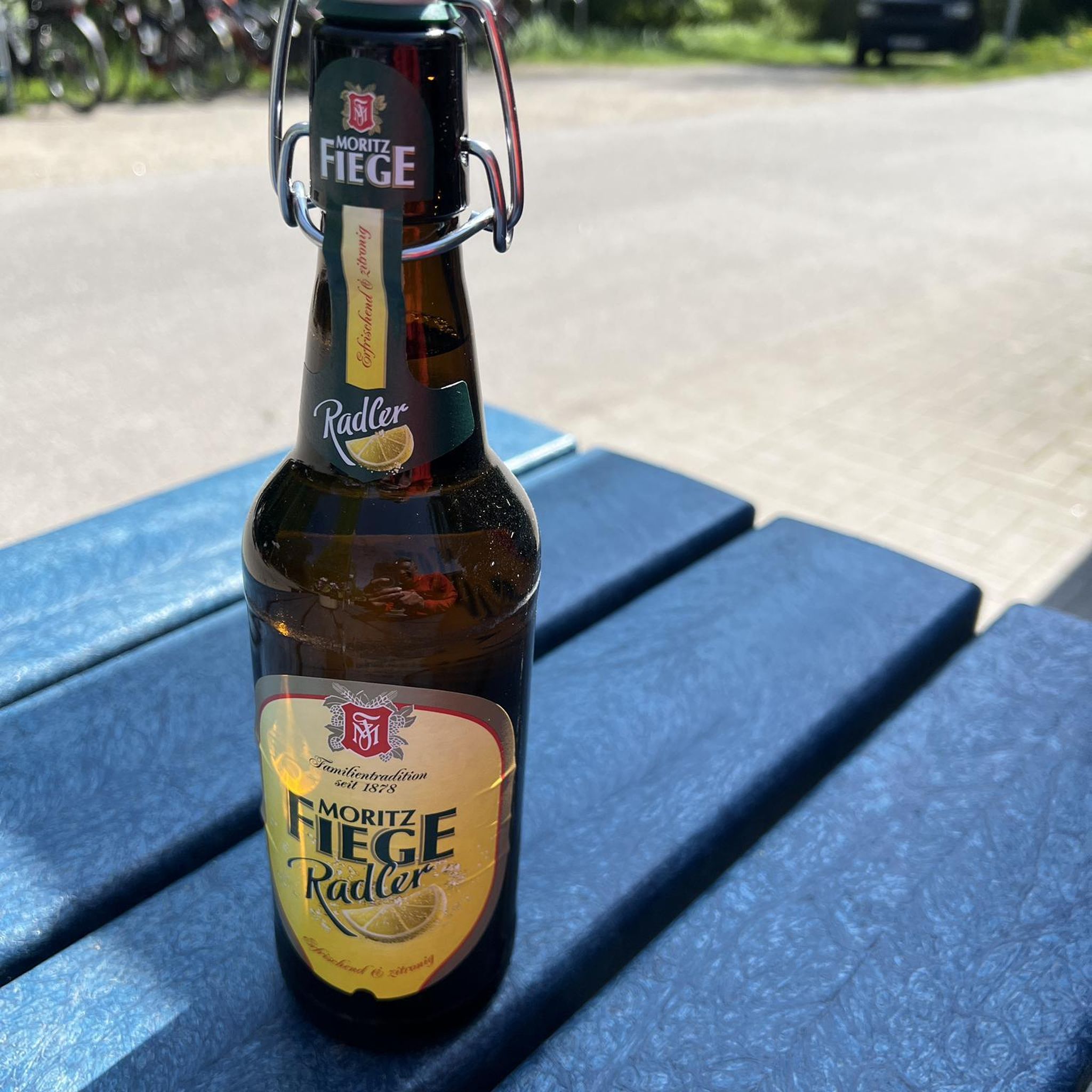
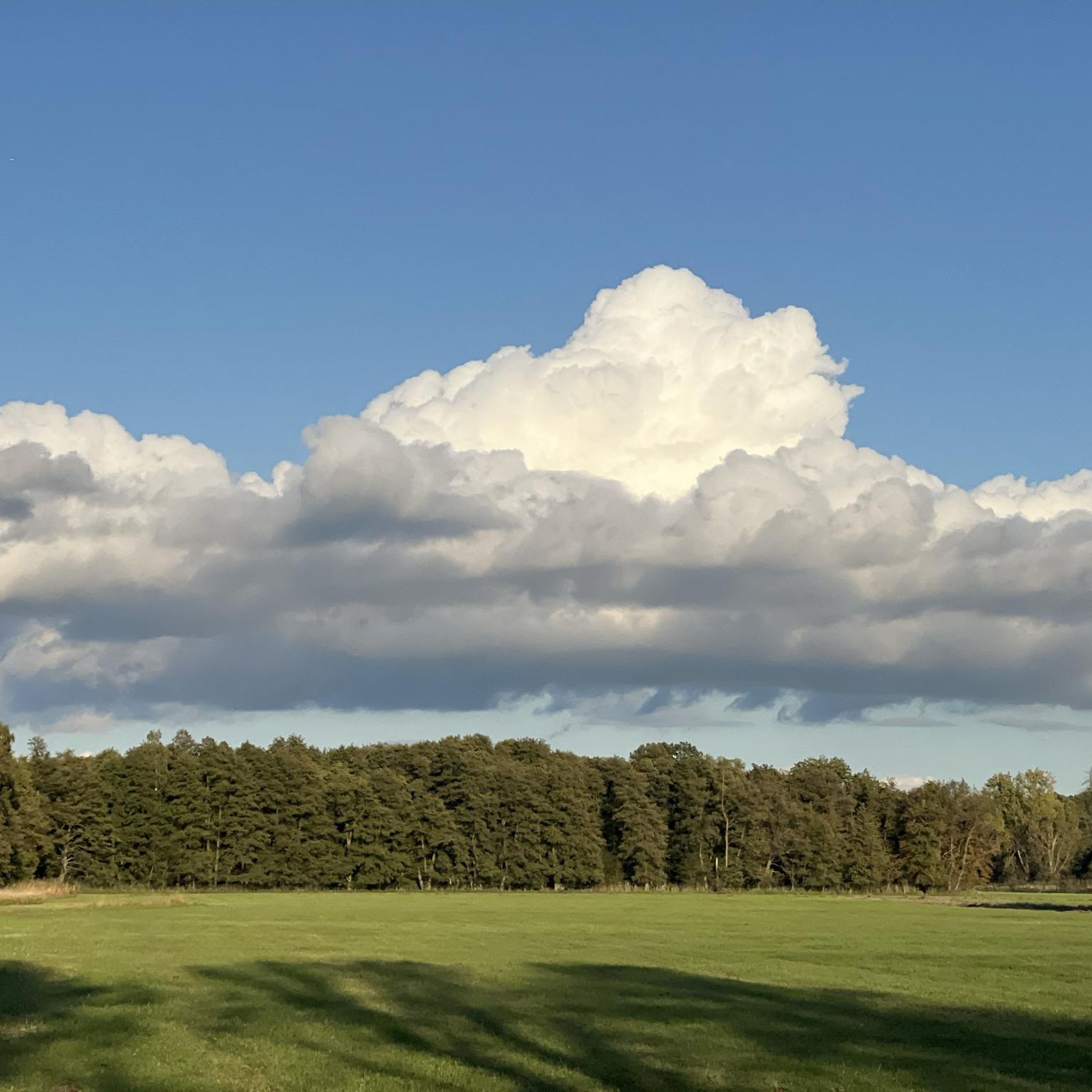
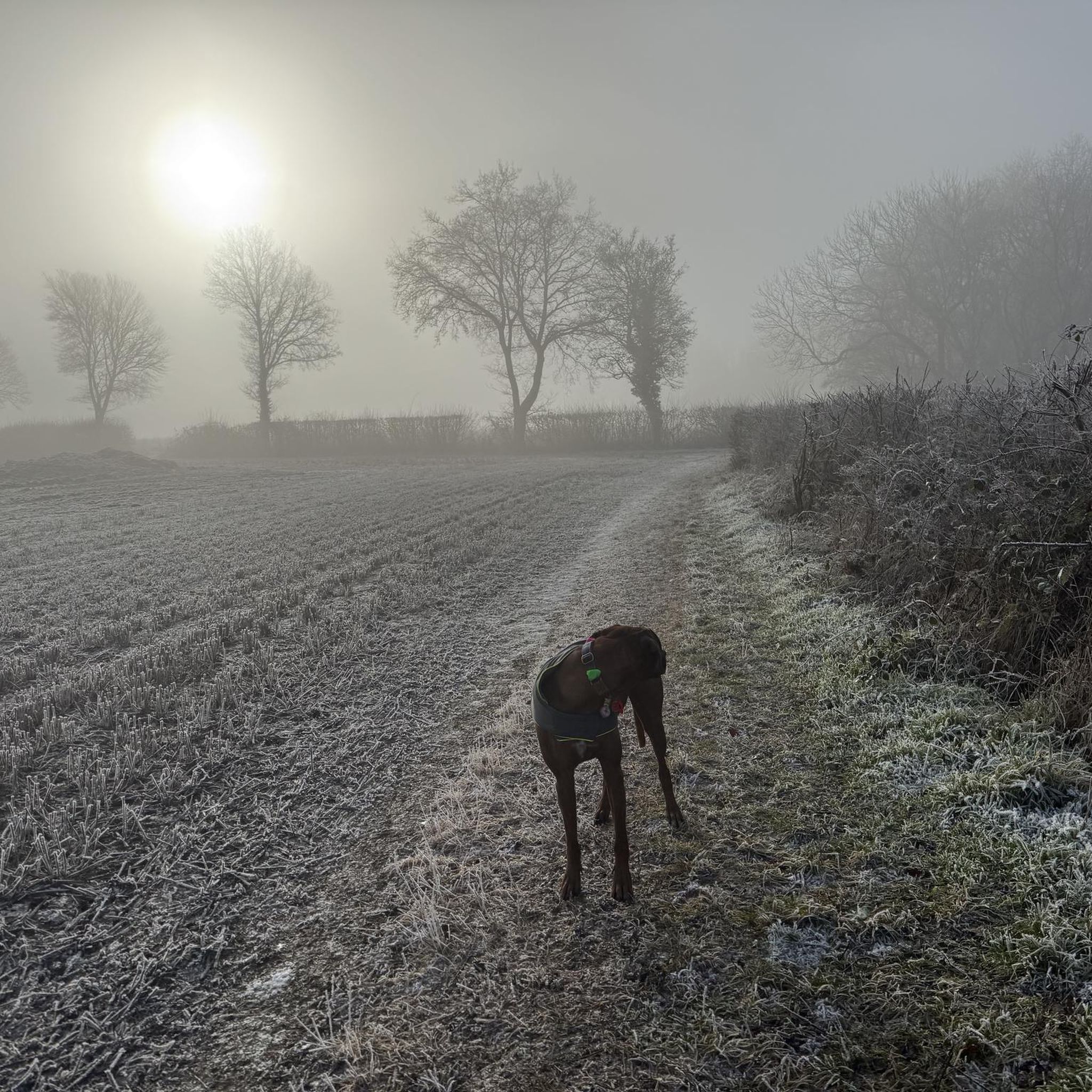
Tips from the Community

Watch out for pedestrians and dogs, great place to stop to refuel.
0
0

Great place for a break! Able to order outside (if the weather is nice) so don't need to worry about securing bike if a solo biker!
0
0

Joined the Flitch way here - an excellent off road trail all the way to Bishop's Stortford - as an old railway - fairly flat with gentle gradients - highly recommended.
0
0

Good coffee and cakes served here
0
0

Excellent café - great cakes
0
0

Nice place to end the bike ride better than going to Braintree
0
0

Once a working train station on the Bishop's Stortford to Braintree line, Rayne is now a lovely stop on the Flitch Way cycle and hiking trail. The station building houses the Flitch Way visitor centre and you can enjoy cakes and hot drinks from the cafe while sitting on the benches where trains once rumbled. There's also a railway carriage museum here which is great fun for children to explore and find out more about the old branch lines.
0
0

A very cool cafe - does get very busy however.
1
0
Frequently Asked Questions
How many running routes are available around Panfield?
Panfield offers a wide selection of running routes, with over 270 trails to explore. These routes cater to various preferences, from gentle village loops to more challenging runs through the surrounding countryside.
Are there running routes for all skill levels in Panfield?
Yes, Panfield provides a good mix of running routes for different abilities. You'll find approximately 29 easy routes perfect for beginners or a relaxed jog, around 197 moderate trails for those looking for a bit more challenge, and about 50 difficult routes for experienced runners seeking a strenuous workout.
Can I find circular running routes in Panfield?
Absolutely. Many of the running routes around Panfield are circular, allowing you to start and finish in the same location. For example, the Running loop from Panfield is an easy 3.3 km circular trail that takes you through the village's immediate surroundings.
What kind of scenery can I expect on the running trails in Panfield?
The running trails in Panfield offer a quintessential rural Essex experience. You'll jog through open arable fields, peaceful woodlands, and copses. The area is also known for its wide grass verges and hedgerows, providing a green and pleasant environment. From its elevated position, Panfield offers extensive views across the open countryside in all directions.
Are there any easy running routes suitable for beginners or a quick jog?
Yes, there are several easy running routes. A great option for beginners or a quick, relaxed jog is the Running loop from Panfield. This 3.3 km trail is mostly flat and can be completed in about 20 minutes, taking you through the village's immediate surroundings.
Are the running routes in Panfield suitable for dogs?
Given Panfield's rural setting with extensive footpaths, open fields, and woodlands, many routes are suitable for running with dogs. However, as much of the area is agricultural land, it's always advisable to keep dogs under control, especially near livestock, and to follow the Countryside Code. Always check specific route details for any restrictions.
What are some popular longer running routes near Panfield?
For those looking for a longer run, the Flitch Way Country Park loop from Braintree is a popular choice, covering 8.9 km. Another excellent option is the Flitch Way Country Park loop from Rayne, which is 7.8 km and offers varied landscapes.
Are there any places to see or landmarks along the running routes?
While Panfield itself is primarily rural, the wider area offers points of interest. You might pass by the Rayne Station and Flitch Way Visitor Centre or the historic Bannister Green Halt, both connected to the Flitch Way. For a scenic village experience, Finchingfield Village Green is also nearby.
What do other runners enjoy most about jogging in Panfield?
The running routes in Panfield are highly rated by the komoot community, with an average score of 4.3 stars. Runners often praise the peaceful rural environment, the varied landscapes of open fields and woodlands, and the extensive views across the countryside. The network of footpaths makes it easy to explore the area.
Are there any cafes or refreshment stops near the running trails?
While Panfield is a quiet village, the nearby area offers options. The Blue Egg Café is a popular spot in the vicinity, offering a chance to refuel after your run. You might also find local pubs in nearby villages for refreshments.
What is the best time of year to go running in Panfield?
Panfield offers beautiful running conditions throughout the year. In spring, the copses and banks are rich with wildflowers like primroses and bluebells. Summer provides long daylight hours for evening runs. Autumn brings vibrant foliage, and even winter runs can be picturesque, especially through the quiet woodlands and open fields, though paths may be muddy.
Is there parking available for accessing the running trails?
As Panfield is a rural area, parking is generally available in or near the village, often in designated public areas or on quiet residential streets, respecting local residents. For routes starting further afield, such as those along the Flitch Way, specific parking facilities may be available at trailheads like the Rayne Station Visitor Centre.
Are there any routes that offer particularly good viewpoints?
Yes, Panfield is situated on a plateau approximately 76 meters above sea level, which means many of the footpaths around the village offer extensive views across the open countryside in all directions. Look for routes that traverse the higher ground or open fields for the best panoramic vistas.
Most popular attractions around Panfield

Get inspired with the komoot mobile app


Explore more
Browse the best Running Trails & Routes in other regions.
