The best walks and hikes around Panfield
4.6
(157)
1,140
hikers
150
hikes
Hiking around Panfield offers access to a rural landscape characterized by extensive arable land, providing broad views of the surrounding countryside. The area features numerous woods and copses, along with wide grass verges and mature hedgerows. Panfield's topography includes a plateau with gentle slopes descending towards Pods Brook and the River Pant, situated at an altitude of approximately 76 meters above sea level.
Best hiking trails around Panfield
- The most popular hiking route is Stocks Farm Campsite – St Michael's Church, Braintree loop from Braintree, a 6.7 miles (10.8 km) moderate trail that takes about 2 hours 50 minutes to complete, traversing open fields and rural paths.
- Another top favourite among local hikers is Bike Ramp loop from Panfield, a moderate 5.5 miles (8.8 km) path. This route explores the local countryside around Panfield, featuring varied terrain and scenic views.
- Local hikers also love the St Mary's Church, Bocking loop from Bocking Churchstreet, a 2.4 miles (3.8 km) trail leading through the village environs, often completed in about 1 hour.
- Hiking around Panfield is defined by extensive arable land, tranquil woods and copses, and gentle slopes leading to local rivers. The network offers options for easy, moderate, and challenging ability levels.
- The routes in Panfield are highly rated by the komoot community with an average score of 4.7 stars from over 130 reviews. More than 1,100 hikers have used komoot to explore Panfield's varied terrain.
Last updated: October 5, 2026
35
hikers
Moderate hike. Good fitness required. Easily-accessible paths. Suitable for all skill levels.
4.7
(3)
11
hikers
8.60km
02:14
50m
50m
Moderate hike. Good fitness required. Easily-accessible paths. Suitable for all skill levels.

10
hikers
Easy hike. Great for any fitness level. Easily-accessible paths. Suitable for all skill levels.
35
hikers
7.33km
01:56
60m
60m
Easy hike. Great for any fitness level. Easily-accessible paths. Suitable for all skill levels.
5.0
(1)
3
hikers
Moderate hike. Good fitness required. Easily-accessible paths. Suitable for all skill levels.
Get access to more routes and recommendations from other explorers.
Already have an account?
Our route recommendations are based on thousands of hikes, rides, and runs completed by other people on komoot.
Start today with a free account
Your next adventure awaits.

Tips from the Community

The church is of a typical construction like many buildings from the time when such structures were being built. Well preserved, it is pleasing to the eye.
2
0

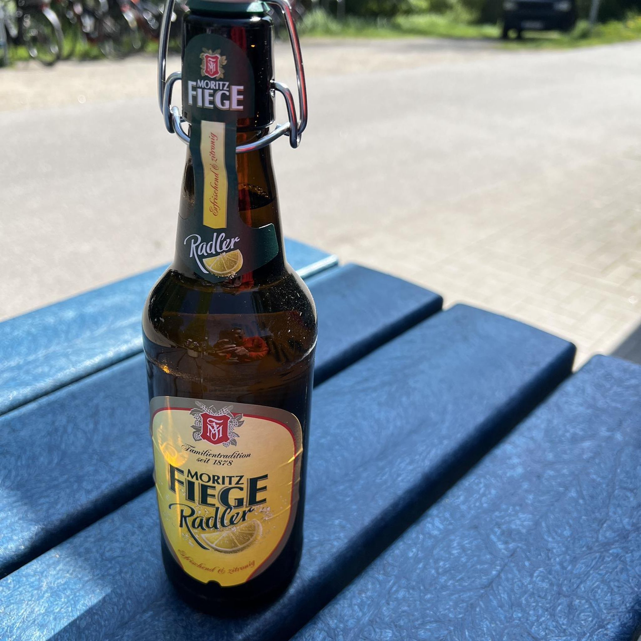
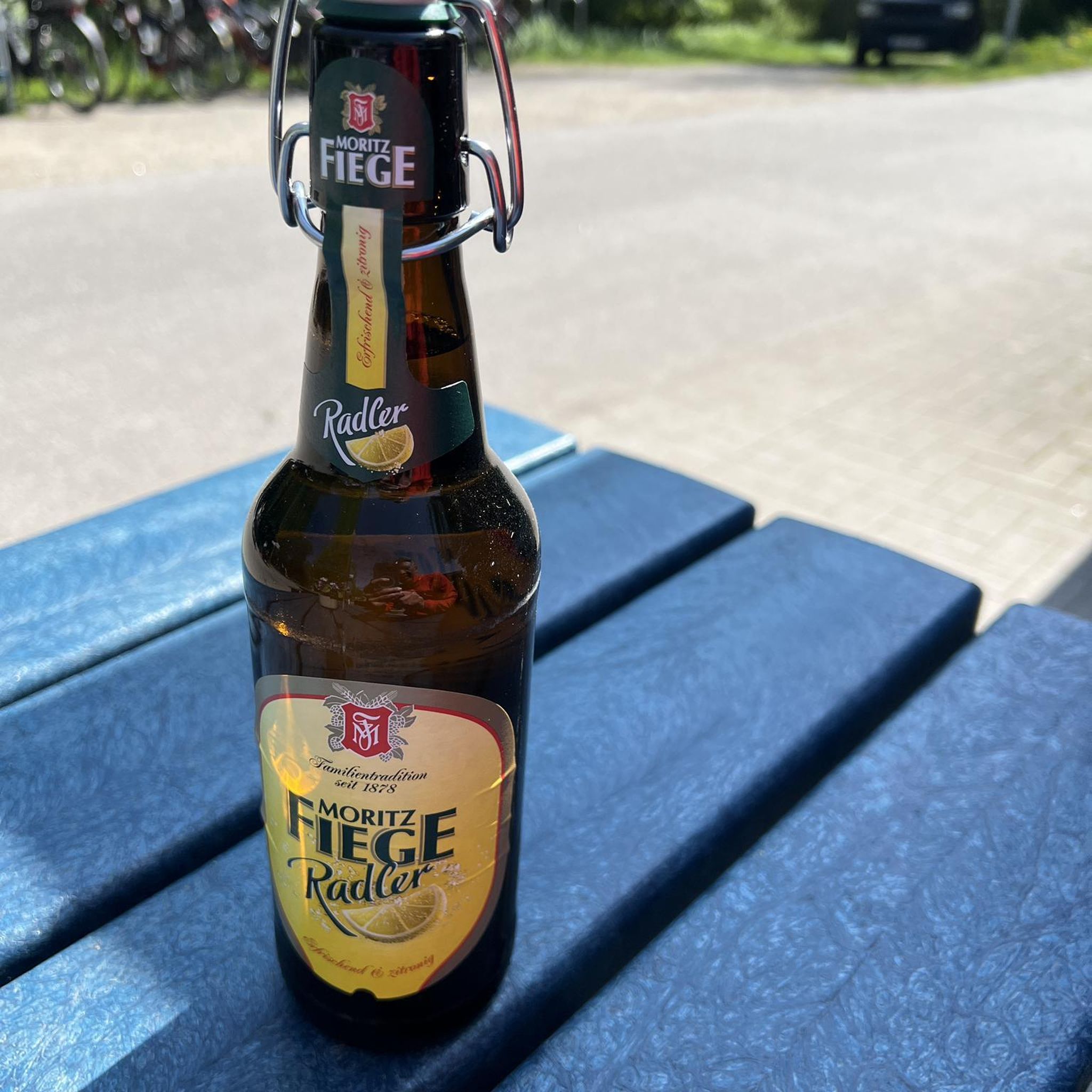
Watch out for pedestrians and dogs, great place to stop to refuel.
0
0

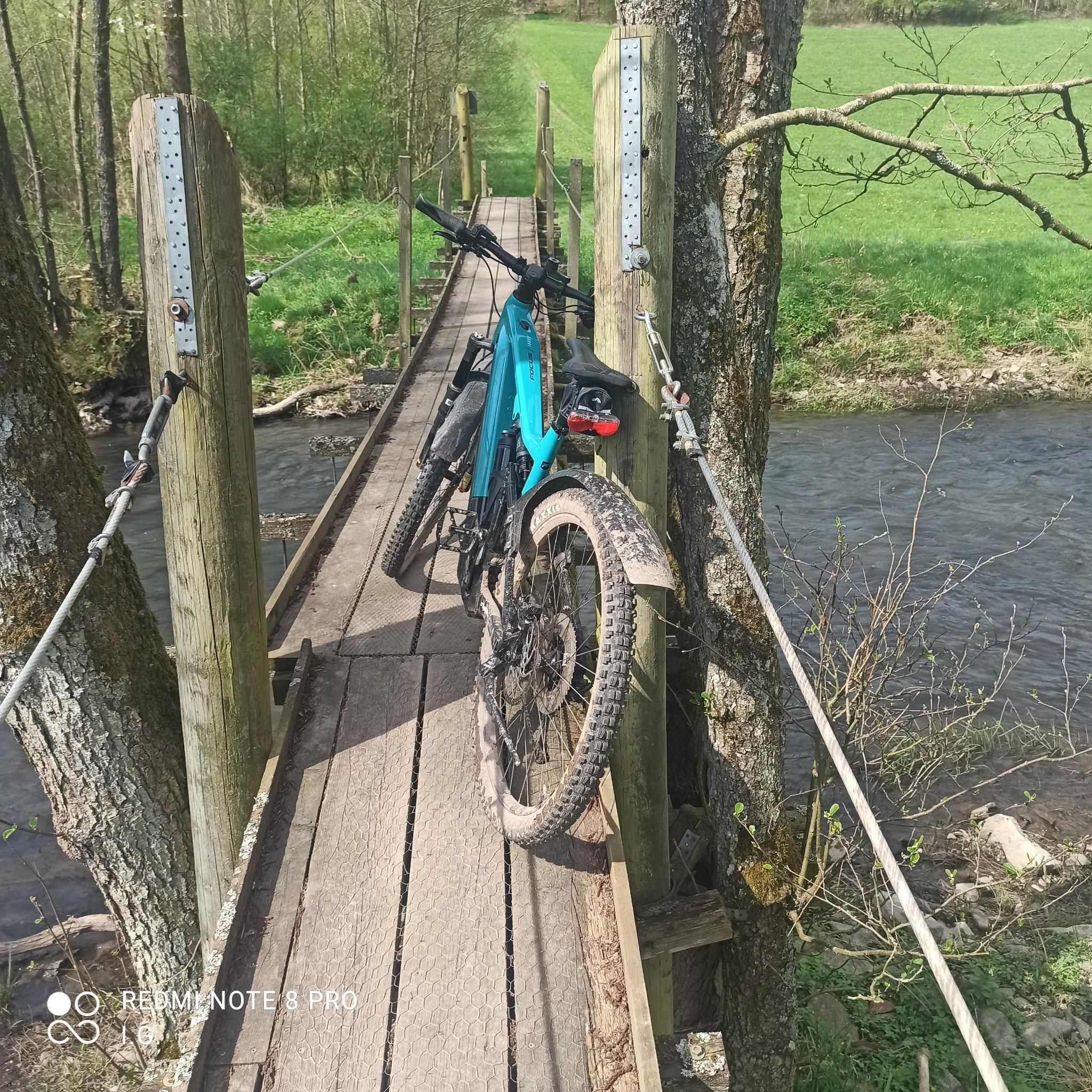
Great place for a break! Able to order outside (if the weather is nice) so don't need to worry about securing bike if a solo biker!
0
0

Joined the Flitch way here - an excellent off road trail all the way to Bishop's Stortford - as an old railway - fairly flat with gentle gradients - highly recommended.
0
0


Good coffee and cakes served here
0
0

Excellent café - great cakes
0
0
Frequently Asked Questions
How many hiking trails are available around Panfield?
There are over 160 hiking routes around Panfield, offering a diverse range of options for exploring the local countryside. These include easy, moderate, and a few more challenging trails.
What kind of landscapes can I expect to see while hiking in Panfield?
Panfield's landscape is characterized by extensive arable land, providing expansive views of the open countryside. You'll also find numerous woods and copses, wide grass verges, and mature hedgerows. The area features gentle slopes leading down to Pods Brook and the River Pant, adding varied natural gradients to your walks.
Are there any easy hiking routes suitable for beginners or a leisurely stroll?
Yes, Panfield offers many easy routes. For a shorter, gentle walk, consider the St Mary's Church, Bocking loop from Bocking Churchstreet, which is about 3.8 km and takes around 1 hour. Another easy option is the St Michael's Church, Braintree – Bike Ramp loop from Rayne, which is about 7.5 km.
What are the best times of year to go hiking in Panfield?
Panfield is enjoyable year-round. Spring is particularly beautiful with wildflowers like primroses, bluebells, and daffodils in the woods. However, be mindful that trails in Essex can become muddy after rain, especially during winter months.
Are there any circular walking routes in the Panfield area?
Yes, many of the routes around Panfield are circular. A popular moderate circular option is the Bike Ramp loop from Panfield, which is about 8.8 km and explores the local countryside with varied terrain and scenic views.
What wildlife might I encounter on the trails?
Panfield is a haven for wildlife. You might spot fallow deer, occasional roe deer, and a thriving population of muntjac deer. Bats, foxes, and badgers are also present. Thistledown Field, a local recreation spot, is specifically managed to foster biodiversity and support local wildlife.
What do other hikers say about the trails in Panfield?
The routes in Panfield are highly rated by the komoot community, with an average score of 4.7 stars from over 130 reviews. Hikers often praise the tranquil countryside, well-maintained footpaths, and the expansive open views.
Are there any interesting landmarks or attractions near the hiking routes?
Yes, there are several interesting spots nearby. You could visit Finchingfield Village Green, or explore the Rayne Station and Flitch Way Visitor Centre. For a historical touch, Bannister Green Halt is also in the vicinity.
Are the hiking trails in Panfield suitable for families with children?
Many of the easy to moderate routes are suitable for families. The minimal elevation changes and well-maintained footpaths make them accessible. For specific pram access, it's best to check individual route details, as some trails can become muddy.
Where can I find parking for hiking routes in Panfield?
While specific parking areas for each route are not detailed here, Panfield is a village with accessible networks. It's advisable to check local parking options within the village or near the start points of specific trails you plan to hike. Some routes may start from nearby towns like Braintree, which offer more established parking facilities.
Can I bring my dog on the hiking trails in Panfield?
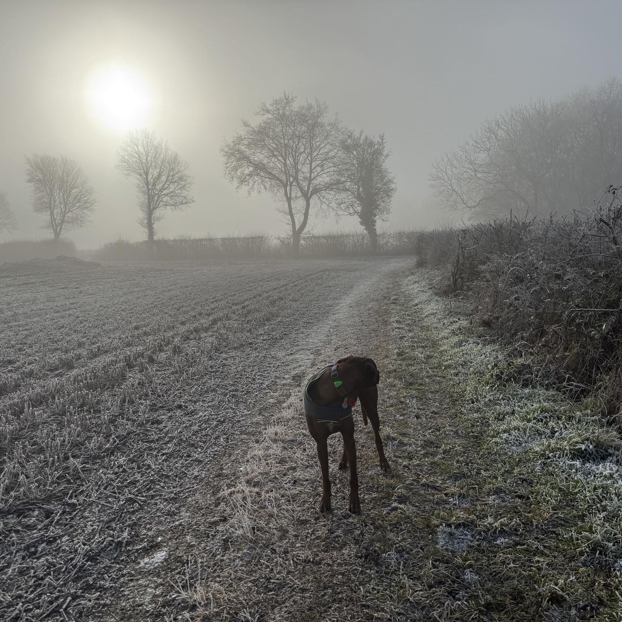
Generally, dogs are welcome on public footpaths in the Panfield area. However, as much of the surrounding land is agricultural, it's important to keep dogs under control, especially near livestock, and to follow the Countryside Code by cleaning up after your pet.
Are there any longer or more challenging hikes available?
While most routes are easy to moderate, there are a few options for longer walks. For example, the Stocks Farm Campsite – St Michael's Church, Braintree loop from Braintree is a moderate 10.8 km trail that takes nearly 3 hours to complete, traversing open fields and rural paths.
Most popular attractions around Panfield

Get inspired with the komoot mobile app


Explore more
Browse the best Hikes in other regions.
