The best road cycling routes in Panama
4.7
(24)
507
riders
30
rides
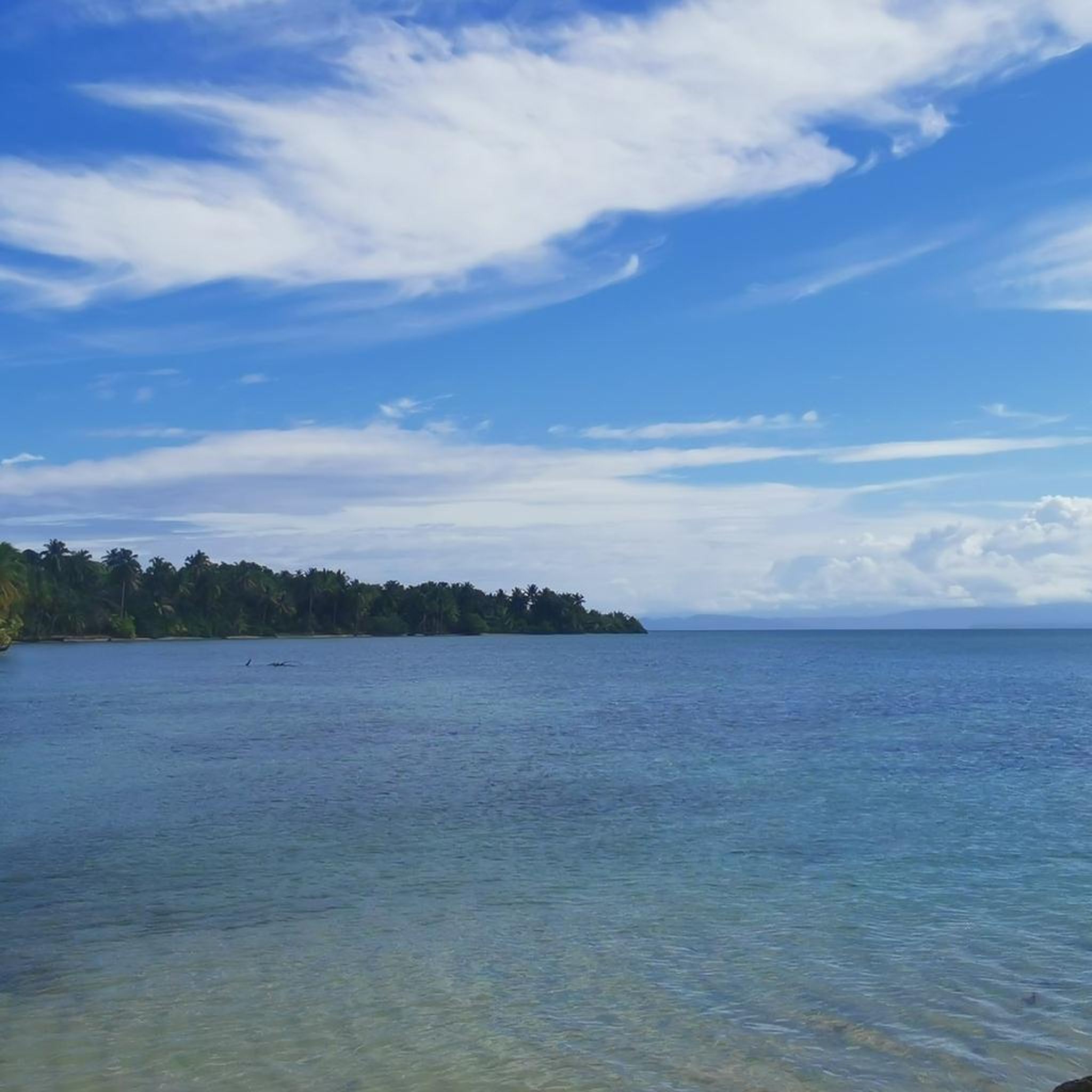
Road cycling in Panama offers diverse terrain, from coastal roads along the Pacific and Caribbean to routes through tropical forests and rolling hills. The country's geography includes the iconic Panama Canal Zone, providing unique cycling perspectives. Elevations vary, with some routes featuring significant climbs and others remaining relatively flat.
Best road cycling routes in Panama
- The most popular road cycling route is Panama City Temple – Cardenas Cycling Meeting Point loop from Brisas Del Golf, a 56.0 miles (90.1 km) trail that takes 4 hours 11 minutes to complete. This moderate route connects urban areas with more natural landscapes.
- Another top favourite among local road cyclists is Punta Burica Lighthouse loop from Mata de Nance, a moderate 33.3 miles (53.5 km) path. This route offers coastal views and a journey to a significant landmark.
- Local road cyclists also love the Cardenas Cycling Meeting Point loop from El Ingenio, a 22.9 miles (36.9 km) trail leading through varied urban and suburban landscapes, often completed in about 1 hour 44 minutes.
- Road cycling in Panama is defined by coastal paths, tropical forests, and rolling hills. The network offers options for easy family-friendly rides as well as more challenging routes with significant elevation gains.
- The routes in Panama are highly rated by the komoot community with an average score of 4.9 stars from more than 25 reviews. More than 450 road cyclists have used komoot to explore Panama's varied terrain.
Last updated: May 20, 2026
50
riders
Moderate road ride. Good fitness required. Mostly well-paved surfaces and easy to ride.
3.7
(3)
46
riders
52.7km
02:34
740m
740m
Moderate road ride. Good fitness required. Some segments of this route may be unpaved and difficult to ride.

Sign up for free
36
riders
36.9km
01:44
300m
300m
Easy road ride. Great for any fitness level. Mostly well-paved surfaces and easy to ride.
35
riders
Hard road ride. Very good fitness required. Mostly well-paved surfaces and easy to ride.
5.0
(3)
31
riders
47.8km
02:06
350m
350m
Moderate road ride. Good fitness required. Mostly well-paved surfaces and easy to ride.
5.0
(1)
22
riders
40.8km
02:14
330m
330m
Moderate road ride. Good fitness required. Some segments of this route may be unpaved and difficult to ride.
4.0
(4)
26
riders
Easy road ride. Great for any fitness level. Mostly well-paved surfaces and easy to ride.
5.0
(1)
18
riders
45.9km
01:58
380m
380m
Moderate road ride. Good fitness required. Mostly well-paved surfaces and easy to ride.
3.7
(3)
22
riders
Easy road ride. Great for any fitness level. Mostly well-paved surfaces and easy to ride.
5.0
(2)
14
riders
69.2km
03:16
520m
520m
Moderate road ride. Good fitness required. Some segments of this route may be unpaved and difficult to ride.
Get access to more routes and recommendations from other explorers.
Sign up for free
Already have an account?
Our route recommendations are based on thousands of hikes, rides, and runs completed by other people on komoot.
Start today with a free account
Your next adventure awaits.
Login or Signup
Popular around Panama
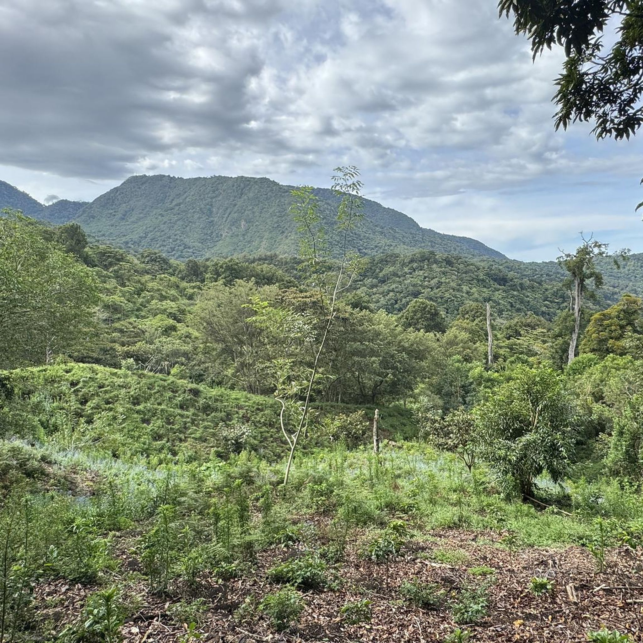
Road Cycling Routes in Chiriquí
Road Cycling Routes in Panamá Oeste
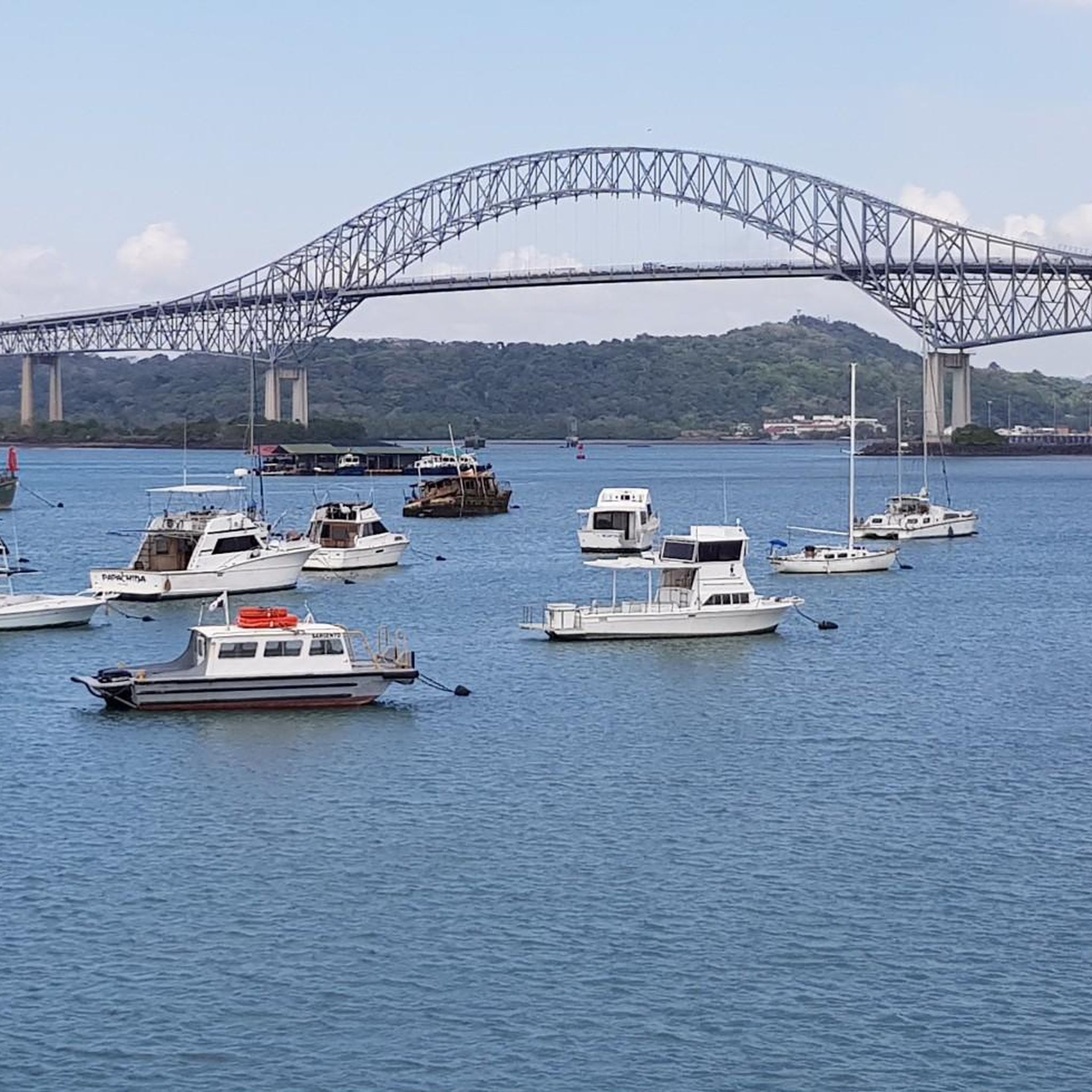
Road Cycling Routes in Panamá

Road Cycling Routes in Coclé
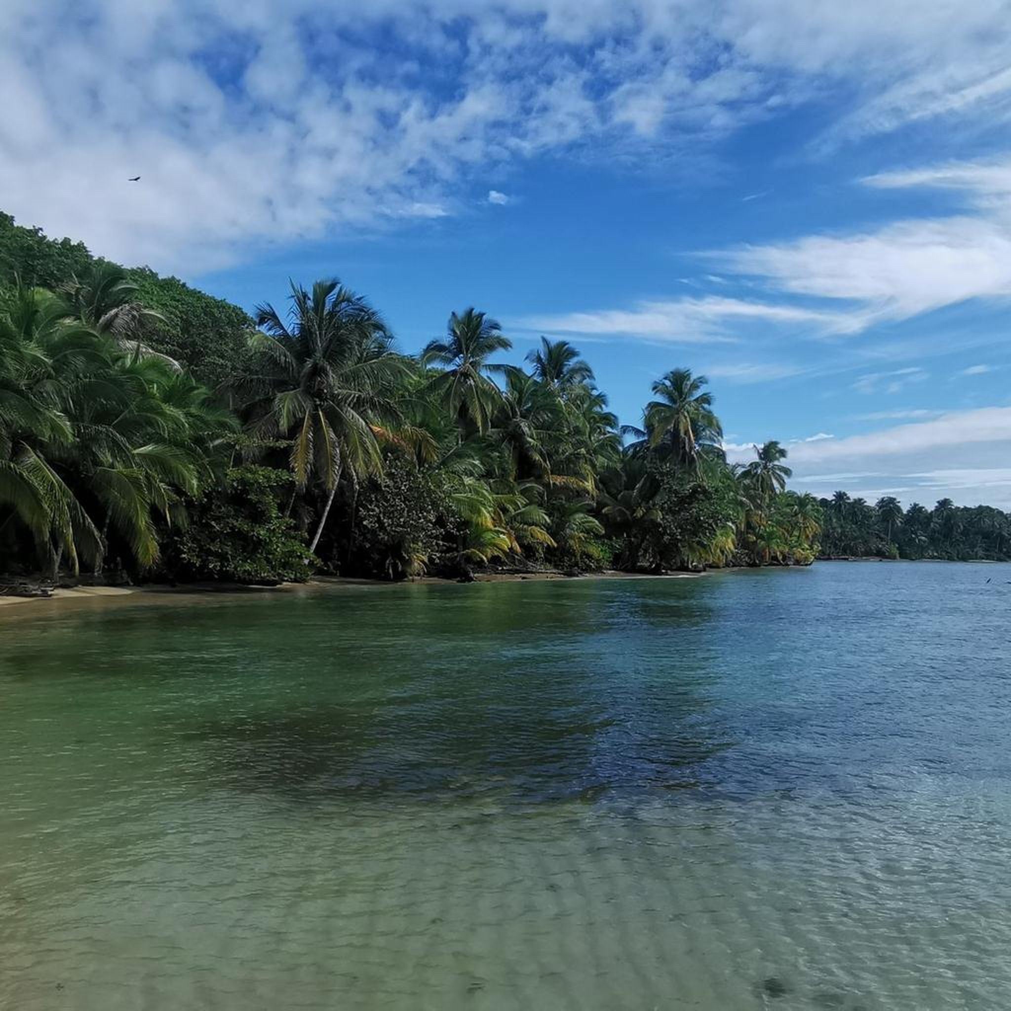
Road Cycling Routes in Bocas Del Toro
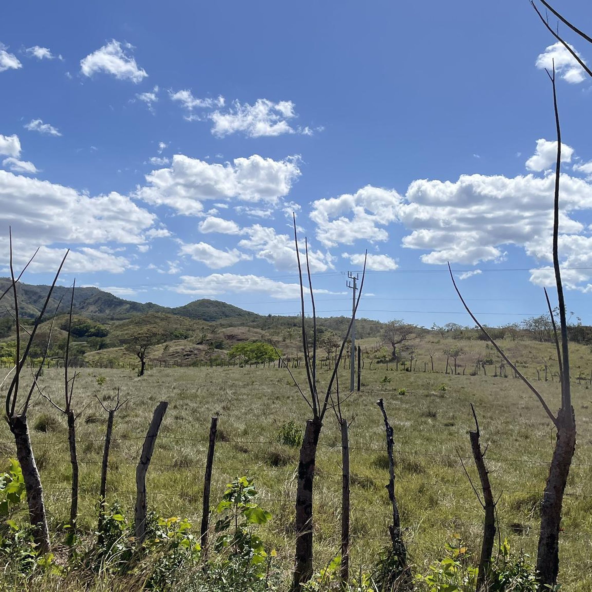
Road Cycling Routes in the Serrania de Tabasara
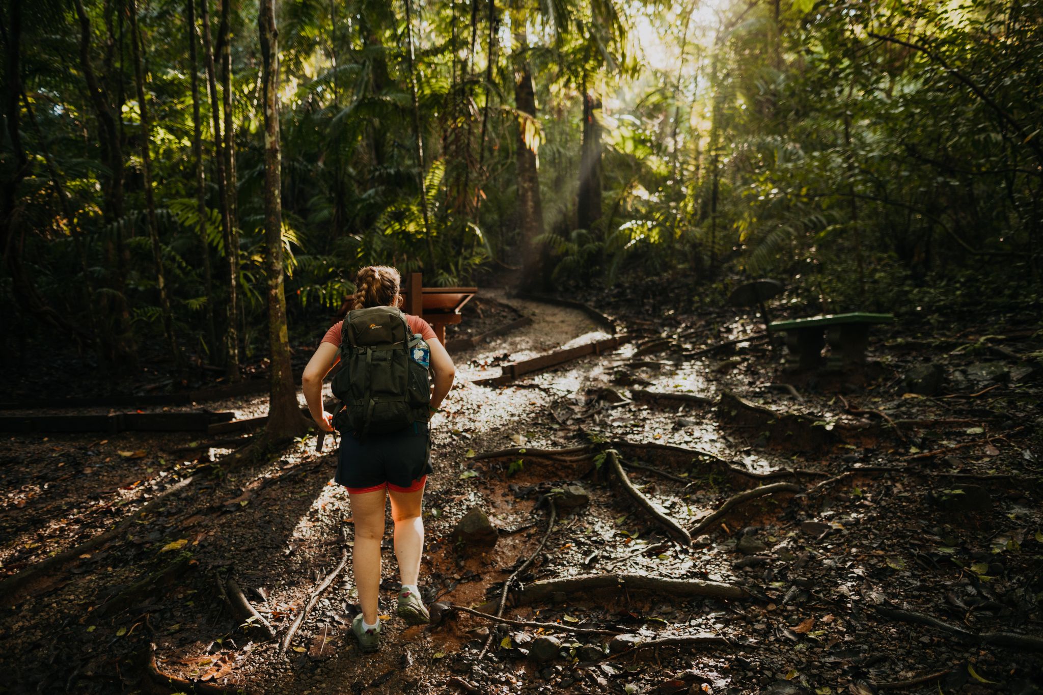
Through the rainforest up to 3,300 metres – hiking in Panama
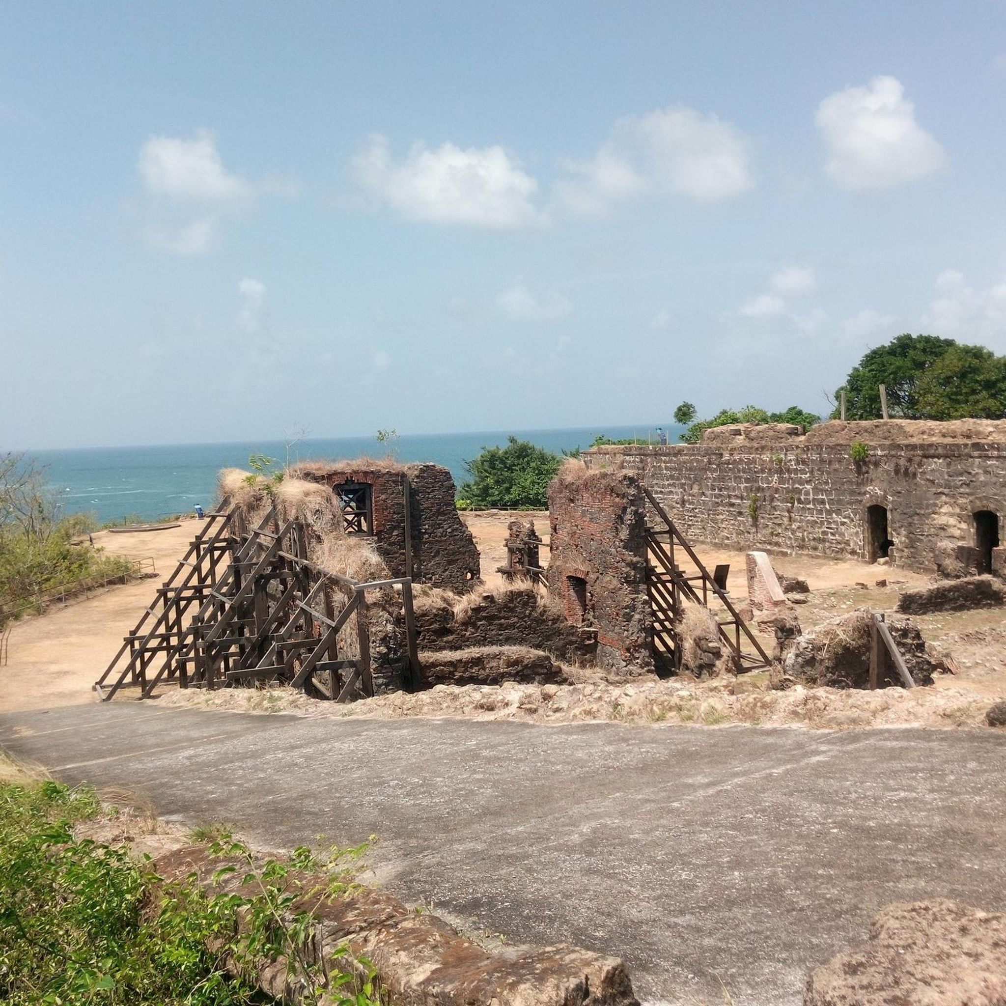
Hiking in Panama
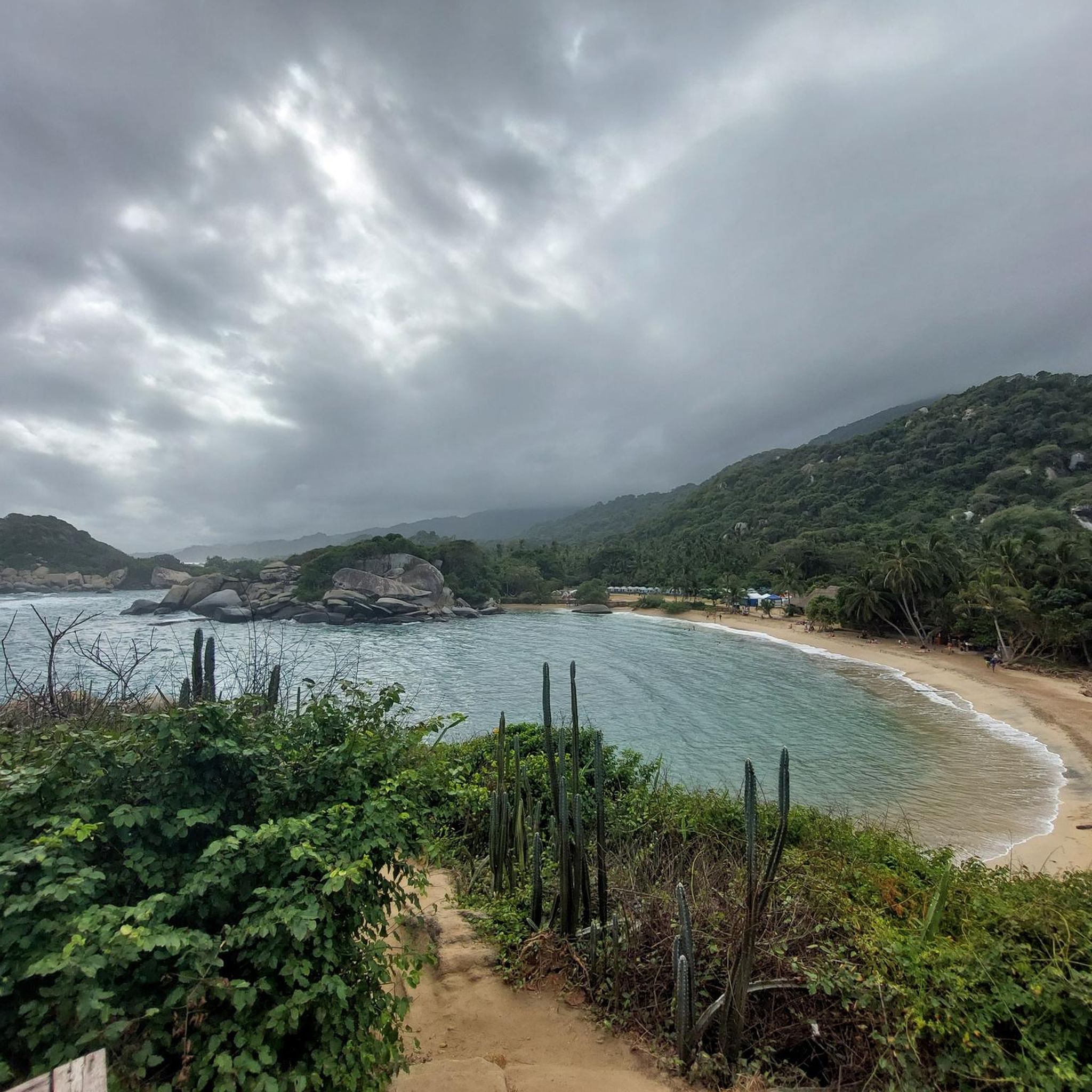
Running Trails in Panama
Cycling in Panama
Other adventures in Panama

Tips from the Community

The skyline of Panama City is one of the most impressive in Latin America, often referred to as the Dubai of Central America, and offers a spectacular mix of glittering skyscrapers and historic charm.
1
0
Absolutely impressive skyline, thanks to the newly laid out road, you drive an arc over the sea and from there you have a view of the old town on the left and the new town on the right.
2
0

Drive with caution on Sundays as there are many beginners using the road and many do not follow traffic rules. However, it is still an excellent road to practice your favorite sport.
1
0

Great view of the Panama City skyline
1
2
Great view of the Panama City skyline
1
0
Great view of the Panama City skyline
1
1

Lots of water, it's hot
1
0
Frequently Asked Questions
How many road cycling routes are available in Panama?
Panama offers a diverse selection of over 30 road cycling routes, catering to various skill levels. These routes traverse coastal areas, tropical forests, and rolling hills, providing unique perspectives of the region.
Are there easy road cycling routes suitable for beginners or families in Panama?
Yes, Panama has several easy road cycling routes perfect for beginners or family outings. For instance, the Cardenas Cycling Meeting Point loop from El Ingenio is an easy 22.9-mile (36.9 km) trail that takes about 1 hour 44 minutes, leading through varied urban and suburban landscapes. Another accessible option is the View of Panama City skyline – View of the Panama City skyline loop from El Chorrillo, a shorter 8.1-mile (8.1 km) route with minimal elevation gain.
What are some challenging road cycling routes in Panama for experienced riders?
For experienced road cyclists seeking a challenge, Panama offers routes with significant elevation gains. The Cerro Colorado – Cerro El Bramon loop from Aeropuerto Internacional Cap. Scarlet Martínez is a difficult 80.4-mile (129.5 km) route with over 4,200 feet (1,300 m) of climbing. Another demanding option is the El Valle loop from El Rodeo, a 47.6-mile (76.6 km) route featuring over 3,900 feet (1,200 m) of elevation gain.
What kind of views and attractions can I expect along road cycling routes in Panama?
Panama's road cycling routes offer diverse scenery, from urban skylines to natural landscapes. You can find routes with views of the Panama City skyline, such as the View of Panama City's skyline loop from Isla Flamenco. Other routes might lead you past significant landmarks like the Plaza de Francia or the Metropolitan Cathedral of Panama. For natural beauty, some routes offer glimpses of the El Valle de Antón area or provide access to viewpoints like Cerro Cedro.
What is the best time of year for road cycling in Panama?
Panama has a tropical climate with a dry season (December to April) and a wet season (May to November). The dry season generally offers more predictable weather with less rain and lower humidity, making it ideal for road cycling. During the wet season, expect afternoon showers, which can make some routes slick, but mornings are often clear.
Are there circular road cycling routes in Panama?
Yes, many road cycling routes in Panama are designed as loops, allowing you to start and end at the same point. Examples include the popular Panama City Temple – Cardenas Cycling Meeting Point loop from Brisas Del Golf, the coastal Punta Burica Lighthouse loop from Mata de Nance, and the Roadbike loop from Ojo de Agua.
What do other road cyclists enjoy most about road cycling in Panama?
The road cycling routes in Panama are highly rated by the komoot community, with an average score of 4.9 stars from more than 25 reviews. Cyclists often praise the diverse terrain, from coastal roads to routes through tropical forests, and the unique perspectives offered by areas like the Panama Canal Zone. The variety of routes, from easy to difficult, is also frequently highlighted.
Are there road cycling routes that pass through urban areas or offer amenities like cafes?
Many routes in Panama, especially those around Panama City, connect urban areas with more natural landscapes, offering opportunities to find amenities. Routes like the Flower Shop in Panama – Cárdenas Cycling Meeting Point loop from Fernández de Córdoba pass through developed areas where cafes and shops are more readily available. It's always a good idea to check the route details for specific points of interest or services.
What is the typical distance and elevation gain for road cycling routes in Panama?
Road cycling routes in Panama vary significantly in distance and elevation. You can find shorter, flatter routes like the 7.3-mile (7.3 km) View of Panama City's skyline loop from Isla Flamenco with minimal climbing. On the other hand, routes like the Roadbike loop from Hertz cover 28.6 miles (45.9 km) with over 1,200 feet (380 m) of elevation, while longer, more challenging routes can exceed 80 miles (129 km) with over 4,000 feet (1,300 m) of climbing.
Is parking available at the start of road cycling routes in Panama?
Information regarding specific parking facilities at the start of every route is not always universally available. For routes starting in urban areas, public parking or designated spots might be found, but it's advisable to check local regulations or route descriptions for details. For routes in more remote areas, parking options may be limited, so planning ahead is recommended.
Most popular attractions in Panama

Get inspired with the komoot mobile app


Didn’t find what you were looking for?
Check out more Road cycling routes throughout Panama below and find the perfect route in your destination.
Explore more
Browse the best Road cycling routes in other regions.
