The best road cycling routes around Wüstheuterode
4.6
(360)
3,301
riders
150
rides
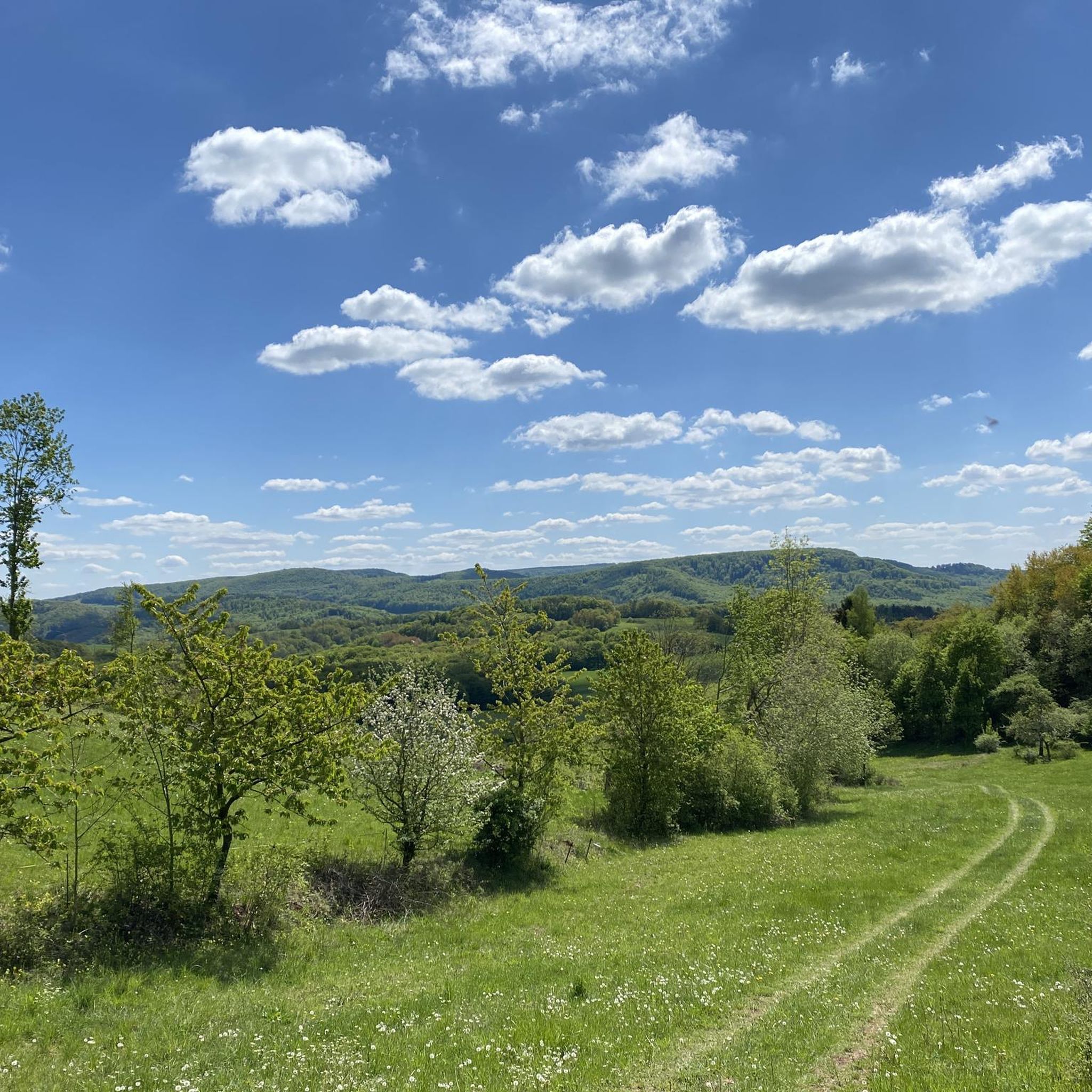
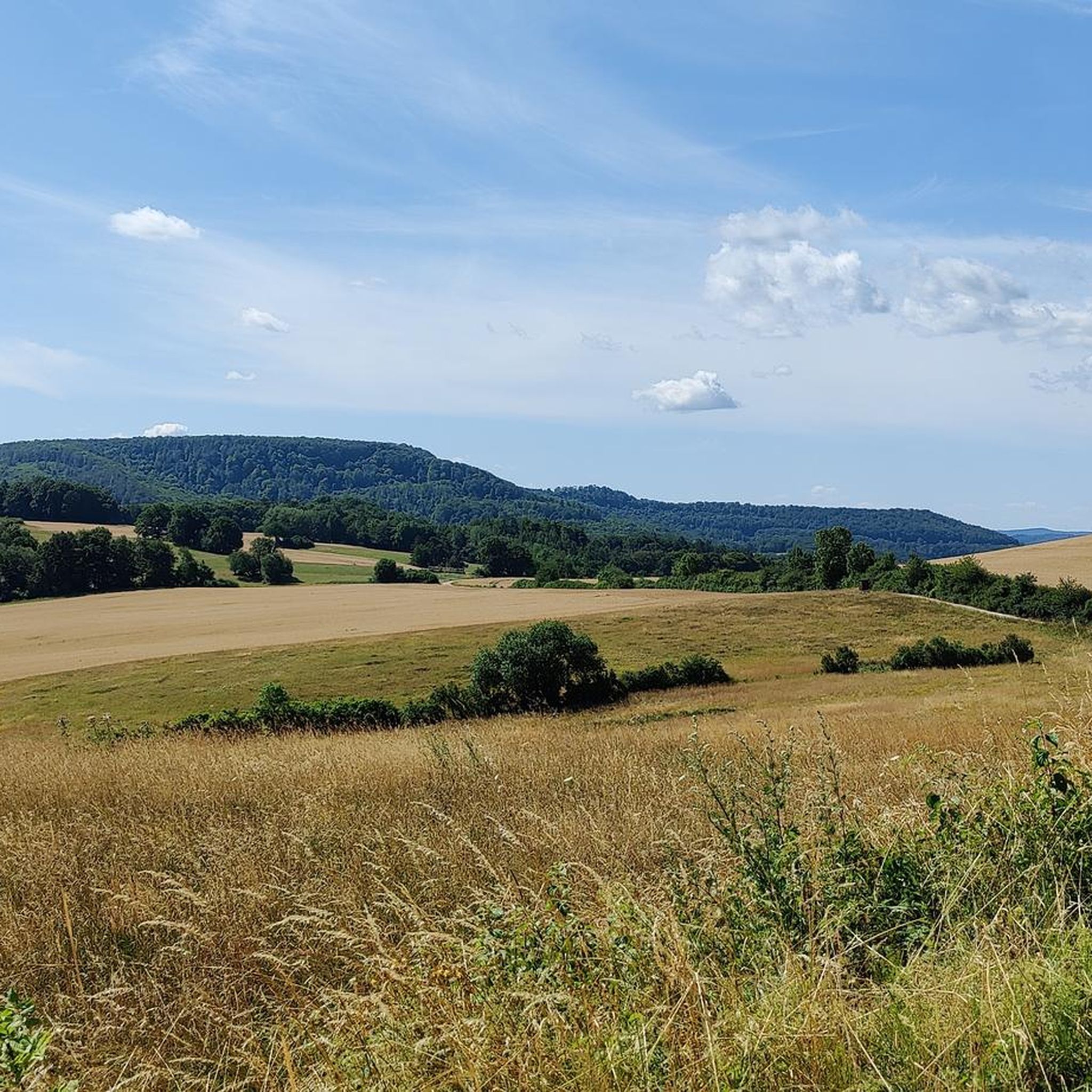
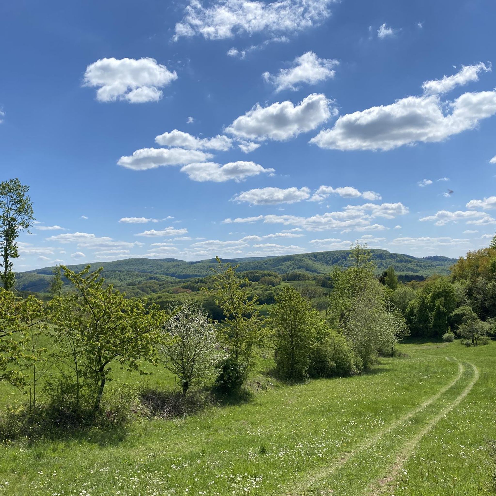
Road cycling routes around Wüstheuterode traverse a landscape characterized by undulating terrain, featuring notable ascents and scenic viewpoints. The region includes routes that pass through tunnels and offer vistas of historical landmarks. This area provides varied elevation profiles, with some routes featuring significant climbs, making it suitable for different levels of road cycling experience.
Best road cycling routes around Wüstheuterode
- The most popular road cycling route is Mühlberg II Tunnel – Küllstedt Tunnel loop from Uder, a 49.5 miles…
Last updated: October 11, 2026
5.0
(9)
80
riders
79.6km
03:33
800m
800m
Moderate road ride. Good fitness required. Mostly well-paved surfaces and easy to ride.
4.4
(5)
58
riders
49.5km
02:19
590m
590m
Moderate road ride. Good fitness required. Mostly well-paved surfaces and easy to ride.

5.0
(2)
54
riders
Hard road ride. Very good fitness required. Some segments of this route may be unpaved and difficult to ride.
3.0
(1)
37
riders
15.0km
00:42
60m
60m
Moderate road ride. Great for any fitness level. Some segments of this route may be unpaved and difficult to ride.
16
riders
51.3km
02:23
620m
620m
Moderate road ride. Good fitness required. Some segments of this route may be unpaved and difficult to ride.
Get access to more routes and recommendations from other explorers.
Already have an account?
Our route recommendations are based on thousands of hikes, rides, and runs completed by other people on komoot.
Start today with a free account
Your next adventure awaits.
Tips from the Community

In Heiligenstadt, the Leine is still quite young. Its level is monitored here, as it can also be quite different at times.
10
0

takes you super up the curves from Rüstungen to the Dieteröder Höhe
0
0
here you can see the water level of the Leine
1
0

Actually, the Leine is a small stream, but the water levels show a different face
3
0

very well-developed cycle path
0
0
very nice route along the old railway line
0
0
impressive, the tunnels on this route - but very cold in spring, certainly quite pleasant in summer.
0
0
Frequently Asked Questions
What kind of terrain can I expect on road cycling routes around Wüstheuterode?
The road cycling routes around Wüstheuterode are characterized by undulating terrain, featuring notable ascents and scenic viewpoints. You'll encounter varied elevation profiles, including some routes with significant climbs, and even passages through tunnels.
Are there road cycling routes suitable for beginners in Wüstheuterode?
Yes, Wüstheuterode offers a selection of routes suitable for beginners. There are 24 easy-rated road cycling routes. An example of a shorter, easier route is the Ice cream café and patisserie loop from Uder, which is about 9.4 miles (15.2 km) long.
What are some challenging road cycling routes in the Wüstheuterode area?
For experienced road cyclists seeking a challenge, there are 24 difficult-rated routes. A notable challenging option is the View of Hanstein Castle – View of Hanstein Castle loop from Uder, which spans 72.3 miles (116.4 km) and includes significant elevation changes.
What is the typical length and duration of road cycling routes near Wüstheuterode?
Route lengths vary significantly. You can find shorter routes like the Ice cream café and patisserie loop from Uder at 9.4 miles (15.2 km), or longer, more demanding tours such as the View of Hanstein Castle – View of Hanstein Castle loop from Uder, which is 72.3 miles (116.4 km) and typically takes over 5 hours to complete.
Are there any loop routes for road cycling around Wüstheuterode?
Many of the road cycling routes in the region are designed as loops, allowing you to start and finish at the same point. Examples include the Mühlberg II Tunnel – Küllstedt Tunnel loop from Uder and the Ascent to Fretterode – Ascent to Dieteröder Höhe loop from Wiesenfeld.
What kind of scenic views or landmarks can I expect along the road cycling routes?
The routes often offer vistas of historical landmarks and natural beauty. You might encounter views of Rustenberg Castle Ruins, or enjoy panoramic outlooks from points like the View from Silberklippe or the View from the Elisabethhöhe.
What do other road cyclists say about the routes in Wüstheuterode?
The road cycling routes around Wüstheuterode are highly rated by the komoot community, with an average score of 4.7 stars from over 270 reviews. Cyclists often appreciate the diverse terrain, including ascents, tunnels, and scenic viewpoints.
Are there any routes that pass through tunnels?
Yes, some road cycling routes in the region feature passages through tunnels, adding a unique element to your ride. The Mühlberg II Tunnel – Küllstedt Tunnel loop from Uder is a prime example of a route that includes tunnels.
How many road cycling routes are there in total around Wüstheuterode?
There are over 150 road cycling routes available around Wüstheuterode, providing a wide array of choices for cyclists of all abilities.
What is the best time of year for road cycling in Wüstheuterode?
While specific data isn't provided, generally, spring through autumn offers the most favorable conditions for road cycling in regions with undulating terrain like Wüstheuterode, with pleasant temperatures and vibrant scenery. It's always advisable to check local weather forecasts before heading out.
Are there any routes with significant ascents for training?
Absolutely. The region is known for its varied elevation profiles, with many routes featuring significant climbs. The Ascent to Fretterode – Ascent to Dieteröder Höhe loop from Wiesenfeld is a moderate route specifically highlighted for its ascents, offering excellent training opportunities and views.
Most popular attractions around Wüstheuterode

Get inspired with the komoot mobile app


Explore more
Browse the best Road cycling routes in other regions.
