The best walks and hikes around Grafham
4.5
(361)
3,225
hikers
19
hikes
Hikes around Grafham are centered on Grafham Water, one of England's largest reservoirs, located in the Cambridgeshire countryside. The landscape is characterized by mostly flat terrain, with paths that follow the water's edge, pass through woodlands, and enter a designated nature reserve. The low elevation change across the area makes many of the footpaths near Grafham Cambridgeshire accessible for a wide range of fitness levels.
Best hiking trails around Grafham
- The most popular hiking route is Grafham Water loop, a 9.0 mile (14.6 km) trail that takes about 3 hours 45 minutes to complete. This is the full Grafham Water circular walk that follows the shoreline of the reservoir.
- Another top favourite among local hiking enthusiasts is Fishing Spot at Grafham Water – View of Grafham Water loop from Grafham, a moderate 5.6 mile (9.0 km) path. The route offers multiple views across the water and through sections of the surrounding woodland.
- Local hiking enthusiasts also love the Grafham Water Mini Golf – Grafham Water Main Car Park loop from Grafham, a 3.4 mile (5.5 km) trail leading through the area's managed parkland, often completed in about 1 hour 25 minutes.
- Hiking around Grafham is defined by reservoir-side paths, mixed woodlands, and open countryside. The network of trails offers options for different ability levels, from short, easy walks to longer circuits.
- The routes in Grafham are highly rated by the komoot community with an average score of 4.4 stars from over 180 reviews. More than 2,300 hikers have used komoot to explore Grafham's varied terrain.
Last updated: September 28, 2026
4.7
(86)
751
hikers
14.6km
03:45
70m
70m
Moderate hike. Good fitness required. Easily-accessible paths. Suitable for all skill levels.
4.7
(3)
42
hikers
Easy hike. Great for any fitness level. Easily-accessible paths. Suitable for all skill levels.

4.4
(5)
103
hikers
8.79km
02:15
30m
30m
Moderate hike. Good fitness required. Easily-accessible paths. Suitable for all skill levels.
5.0
(3)
21
hikers
Easy hike. Great for any fitness level. Easily-accessible paths. Suitable for all skill levels.
16
hikers
Moderate hike. Good fitness required. Easily-accessible paths. Suitable for all skill levels.
Get access to more routes and recommendations from other explorers.
Already have an account?
Our route recommendations are based on thousands of hikes, rides, and runs completed by other people on komoot.
Start today with a free account
Your next adventure awaits.


Tips from the Community

Good toilets and outside space. Tea coffee and cakes. Every sandwich has cheese so if you have allegies no food as there are no other options. Used to have full kitchen but the powers that be closed it and now there is just one staff member so it can be a very long wait for service. Shame used to be a good stop.
0
0
Excellent track around the resevoir. Some muddy parts when wet and some loose gravel. One area is quite bumpy but don't let that put you off its a good and interesting ride. The cafe at the western end is self serve and the water for tea is not hot enough and my wife did not like the coffee so we avoid it now. However the outside is much improved so will venture back and update.
0
0

Rode this route 04/08/24 tough going for kids... long grass etc but a great ride. watch out at Santa Pod raceway if there is an event on.
0
0

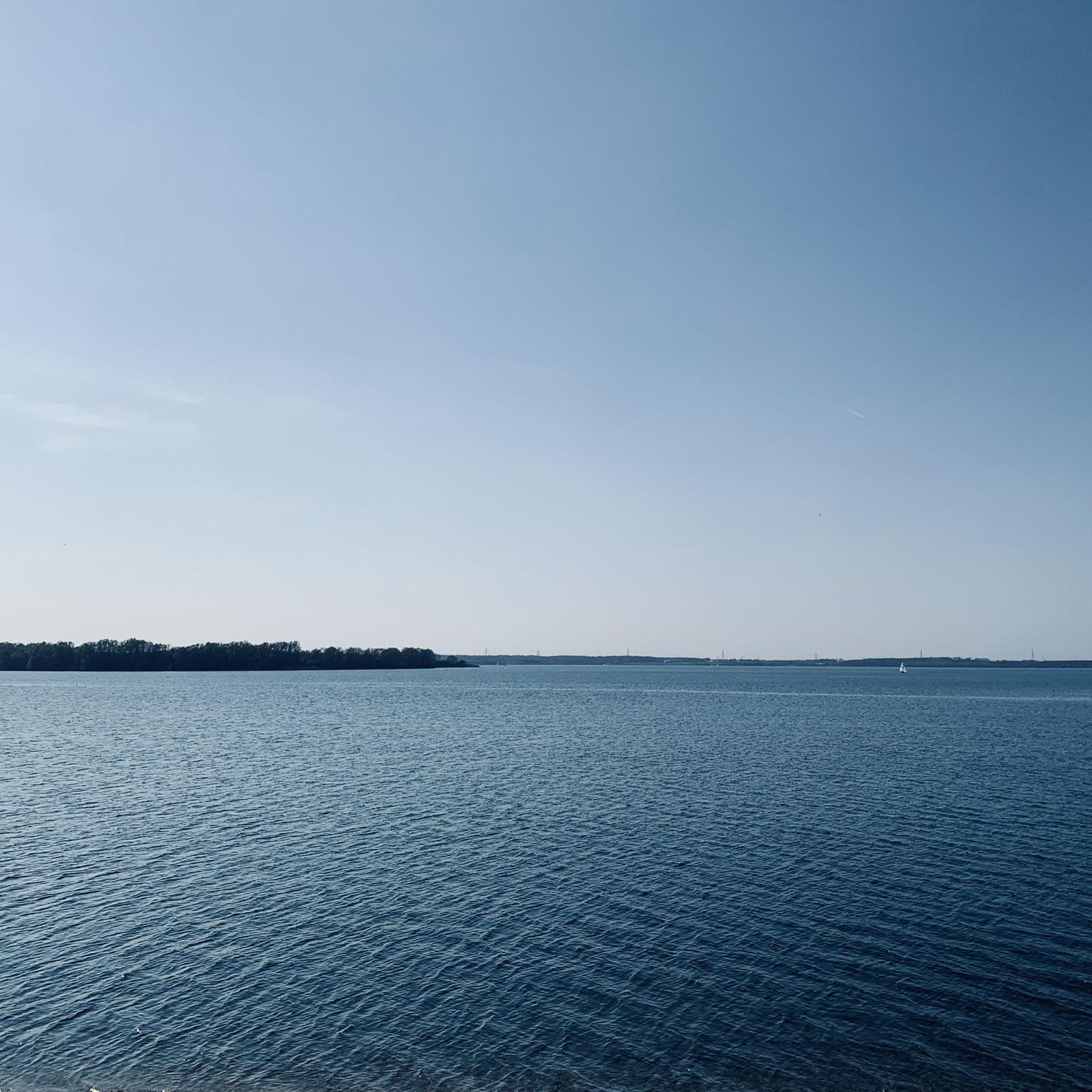
From here you can access the cycle/walking path along the top of the dam which gives great views up the length of Grafham Water.
0
0
The cycle path along the top of the dam is wide and flat and gives great views across the reservoir. Reach it from the Visitor Centre at the northern end although access at the southern end is trickier as you have to squeeze through a narrow gap next to a locked gate by the main road.
0
0

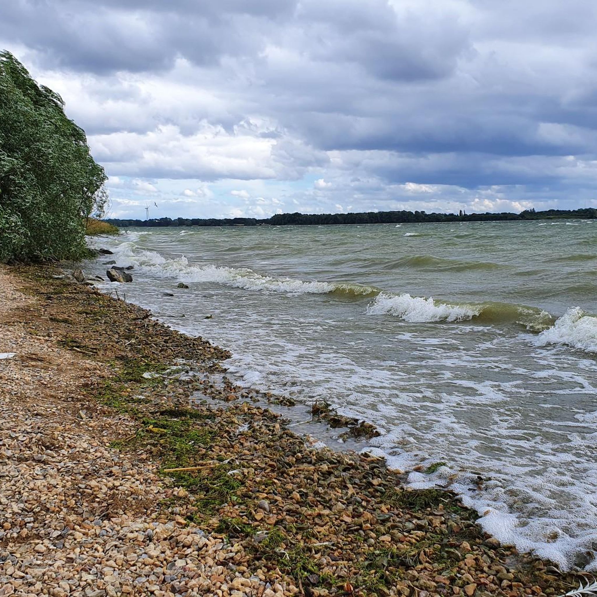
This is a beautiful bay situated on the shores of Grafham Water, not too far from St Neots in Huntingdonshire. The lake is a biological Site of Special Scientific Interest and England's third biggest reservoir.
1
0
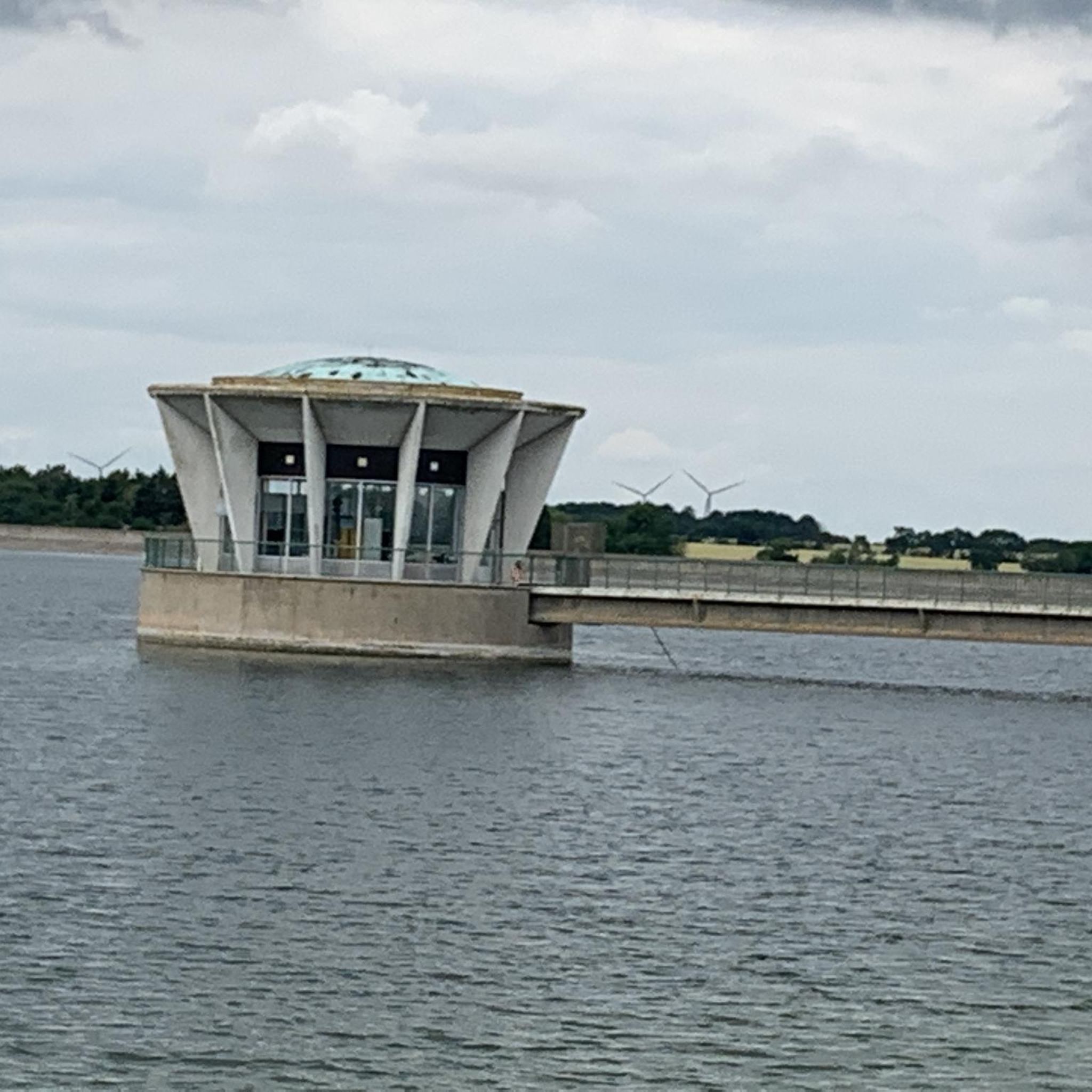
The valve tower at Grafham Lake homes the controls that operate the opening and closing of the gates/valves allowing the reservoir water to be correctly regulated. The tower was built in the 1960s and resembles something of a spaceship!
1
0
Frequently Asked Questions
How long is the walk around Grafham Water and what is the terrain like?
The full circular walk around Grafham Water is approximately 9 miles (14.6 km). It typically takes between 3 to 4 hours to complete on foot. The terrain is mostly flat and follows well-maintained paths, making it suitable for most fitness levels, though some sections can become muddy after rain.
Are dogs allowed on the trails around Grafham Water?
Yes, dogs are welcome at Grafham Water but must be kept on a lead at all times to protect the area's wildlife. Please be aware that dogs are not permitted inside the Nature Reserve at the western end of the reservoir, which is a designated Site of Special Scientific Interest (SSSI).
Are there any short, family-friendly walks available?
Yes, there are several shorter options perfect for families. You don't have to complete the full nine-mile loop. A good choice is the Grafham Water Mini Golf – Grafham Water Main Car Park loop, which is a gentle 3.4-mile (5.5 km) walk. The area also has playgrounds and picnic spots, making it ideal for a family day out.
Where can I park for walks around Grafham Water?
There are several pay-and-display car parks located around the reservoir, including Mander Park (the main car park), Marlow Park, and Plummer Park. These provide convenient access to the circular trail and other facilities. It's a good idea to check the closing times for the car parks before you set off, as they can vary seasonally.
Are the paths around Grafham Water suitable for wheelchairs or strollers?
Many of the paths around Grafham Water are hard-surfaced and mostly flat, making them accessible for wheelchairs and strollers, particularly around the main visitor centres. However, the full nine-mile circular route includes some natural, unsurfaced sections that can be uneven or muddy, which may be challenging.
What kind of wildlife can I see in the Grafham Water Nature Reserve?
The nature reserve, located at the western end of the reservoir, is a haven for wildlife. It features ancient woodlands and reed beds. Birdwatchers can spot a wide variety of species from the bird hides, including great crested grebes, ducks, and geese. Ospreys are also known to visit the area.
Are there places to eat or drink along the trails?
Yes, the main visitor centre at Grafham Water has a café where you can get refreshments. There are also several picnic areas with benches if you prefer to bring your own food. For a pub lunch after your walk, you would need to drive to one of the nearby villages.
What do other hikers say about the trails in Grafham?
The trails around Grafham are highly regarded by the komoot community, with an average rating of 4.4 stars. Reviewers often praise the well-maintained paths, the beautiful views across the water, and the peaceful atmosphere, especially within the nature reserve sections.
Are there any quieter alternatives to the main reservoir loop?
While the main loop is popular, you can find quieter sections, especially during weekdays. For a different experience, the Grafham Water Main Car Park – View of Church Hill Bay loop is a shorter 3.8-mile (6.1 km) walk that explores a less-trafficked part of the shoreline and offers lovely views.
Besides hiking, what other activities are available at Grafham Water?
Grafham Water is a major hub for outdoor recreation. Popular activities include cycling on the nine-mile track, with bike hire available on-site. The reservoir is also a premier location for watersports like sailing and windsurfing, managed by the Grafham Water Centre, and is a well-known spot for angling.
What are some other popular places for hiking near Grafham?
If you want to explore beyond the reservoir, the surrounding area has several highly-regarded nature spots. Popular choices among locals include:
- Paxton Pits Nature Reserve: A large reserve known for its lakes, meadows, and notable birdlife like nightingales.
- Hinchingbrooke Country Park: Features open grasslands, wetlands, and woodlands with excellent accessibility.
- Godmanchester Nature Reserve: A great spot for exploring paths along the River Great Ouse.
Most popular routes around Grafham
Most popular attractions around Grafham

Get inspired with the komoot mobile app


Explore more
Browse the best Hikes in other regions.
