The best walks and hikes around Longstanton
4.6
(619)
6,415
hikers
29
hikes
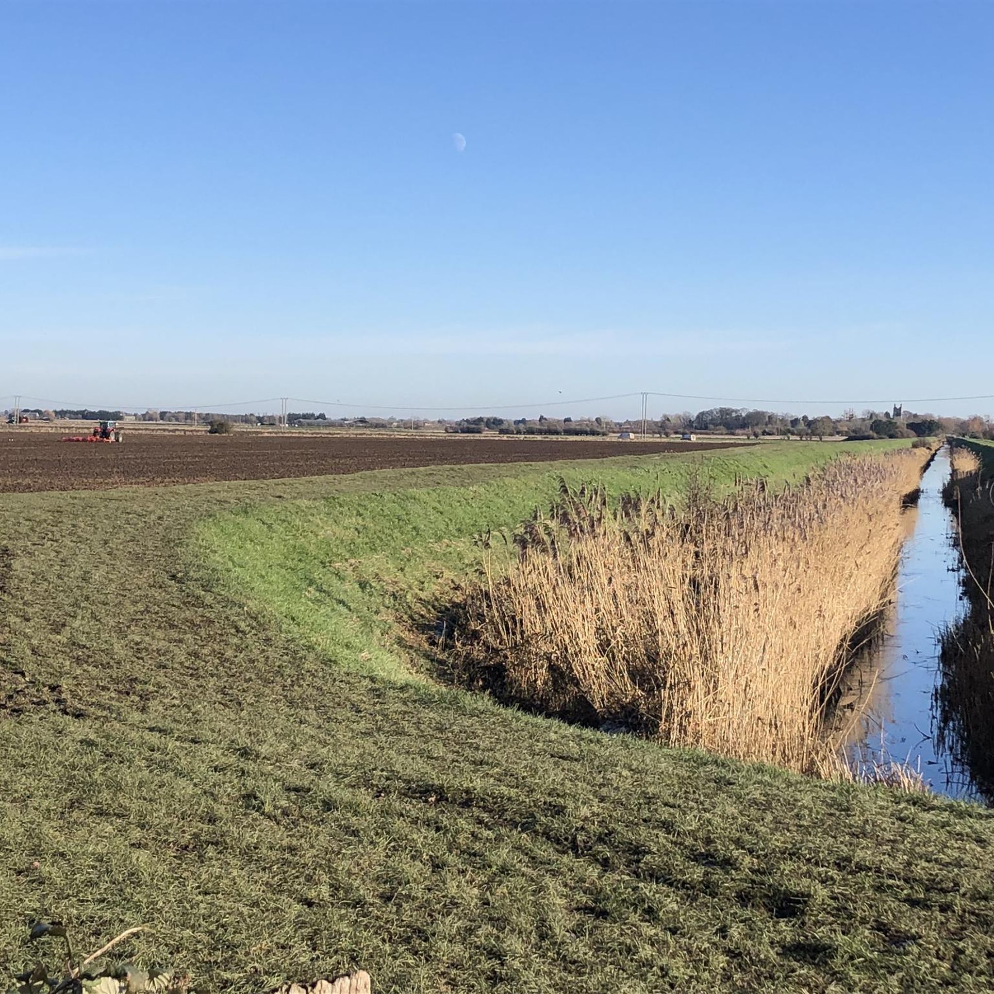
Hiking around Longstanton offers access to the distinct flat, open Fenland landscape, characterized by agricultural land and river valleys. The region is situated near the River Ouse and includes green spaces like Northstowe Water Park. Trails often traverse rural scenery, connecting charming Cambridgeshire villages and providing a mix of environments. The area's low elevation means routes are generally gentle, with minimal climbing.
Best hiking trails around Longstanton
- The most popular hiking route is Northstowe & Great Ouse loop via Rampton, a 15.2 miles (24.4 km) difficult trail that takes 6 hours 8 minutes to complete. This route explores the Great Ouse river and the surrounding Fenland.
- Another top favourite among local hikers is Oakington Village Highlights – Northstowe New Town loop from Northstowe, a moderate 6.4 miles (10.3 km) path. This trail offers a mix of village exploration and new town green spaces.
- Local hikers also love the Northstowe New Town – Oakington Village Highlights loop from Longstanton, a 7.6 miles (12.3 km) trail leading through Northstowe's modern developments and Oakington's traditional village, often completed in about 3 hours 6 minutes.
- Hiking around Longstanton is defined by the flat Fenland landscape, agricultural fields, and riverside paths along the River Ouse. The network offers options for different ability levels, from easy village loops to longer, more challenging routes.
- The routes in Longstanton are highly rated by the komoot community with an average score of 4.5 stars from a handful of reviews. More than 200 hikers have used komoot to explore Longstanton's varied terrain.
Last updated: November 2, 2026
4.0
(1)
7
hikers
24.4km
06:08
30m
30m
Hard hike. Very good fitness required. Mostly walkable paths. Sure-footedness required.
5.0
(1)
10
hikers
Moderate hike. Good fitness required. Easily walkable paths.

4.5
(2)
13
hikers
Moderate hike. Good fitness required. Easily walkable paths.
19
hikers
6.11km
01:33
10m
10m
Easy hike. Easily walkable paths.
13
hikers
5.57km
01:24
10m
10m
Easy hike. Easily walkable paths.
Get access to more routes and recommendations from other explorers.
Already have an account?
Our route recommendations are based on thousands of hikes, rides, and runs completed by other people on komoot.
Start today with a free account
Your next adventure awaits.



Tips from the Community

Tarmacked bridleway that provides a useful shortcut. Watch out for the piles of horseshit though.
1
0

Quiet stretch between Oakington and Longstanton
0
0

Enjoy a stroll through this pleasant little woodland walkway hidden behind the hamlet of Rampton.
1
0

The village of Longstanton developed greatly alongside the opening of RAF Oakington in 1940, which caused great demand for housing. This caused Longstanton to triple in size. Today the RAF base is no more and a new town, Northstowe, is set to dominate much of the land it was built on.
0
0
Northstowe didn't exisit until recently. The first families moved in during 2017 and by 2040 it is expected to be a modern and sustainable town housing 24,000 people. There are plenty of greenspaces, such as the ponds, trails and parkland at Northstowe Water Park. The whole town is built on the site of the former barracks of RAF Oakington, an airfield that played a crucial role during the Second World War. The Pathfinder Long Distance Trail, which honours the memory of the region's brave pilots, passes by the new town.
1
0
The Cambridgeshire village of Oakington has much to interest historians. From unearthed hand axes that hint at a Paleaolithic settlement and Roman pottery shards found in the surrounding land, to the discovery of an Anglo-Saxon cemetery and as the site of an Allied airbase in the Second World War, it's certainly seen more than its fair share of history. Today, the former RAF base's remnants are evidenced in the farmland around the village, while the main site has been earmarked for modern residential development. The village is on the route of the Pathfinder Long Distance Walk; walkers can find sustenance at the White Horse, which serves good pub grub.
0
0

Lots of wildlife in this area. Crested grebes and white storks all over to name a few of the birds in this area.
1
0

Little unmanned fruit and veg stall on someone's drive way. Has strawberries and raspberries in the summer but also courgettes, peppers, potatoes, lettuce etc. Bring change or big panniers as it's cash only (obviously)
0
0
Frequently Asked Questions
How many hiking trails are available around Longstanton?
There are over 30 hiking routes around Longstanton, offering a variety of experiences from easy village loops to longer explorations of the Fenland landscape.
Are there easy hiking trails suitable for beginners or casual walkers in Longstanton?
Yes, Longstanton offers many easy trails. Out of the 31 available routes, 24 are classified as easy. A good option for a gentle walk is the Northstowe New Town loop from Longstanton, which is 6.05 km long and generally flat.
What kind of terrain and challenges can I expect on Longstanton's hiking trails?
The region is characterized by its flat, open Fenland landscape, agricultural fields, and riverside paths along the River Ouse. Most routes have minimal elevation gain, making them generally gentle. However, some longer routes, like the 24.4 km Northstowe & Great Ouse loop via Rampton, are considered difficult due to their length, offering a more challenging experience.
Are the hiking trails around Longstanton suitable for families with children?
Yes, many trails are suitable for families due to the generally flat terrain and accessible paths. Shorter, easy loops around Northstowe and Longstanton, often incorporating green spaces, are ideal for walks with children.
Can I bring my dog on the hiking trails in Longstanton?
Most trails in the Longstanton area are dog-friendly. As many routes traverse agricultural land and open countryside, it's always recommended to keep dogs on a leash, especially near livestock, and to follow the Countryside Code.
Are there many circular hiking routes available in Longstanton?
Yes, the area features numerous circular routes, allowing you to start and end your hike in the same location. An example is the Northstowe New Town – Longstanton Village loop from Northstowe, which offers a pleasant 5.57 km circular walk.
Where can I park when hiking in Longstanton?
Longstanton has a park-and-ride car park located at the Guided Busway stop, which can serve as a convenient starting point for many local walks. Parking is also often available in or near the villages that serve as trailheads.
How can I access Longstanton's hiking trails using public transport?
Longstanton is well-connected by the Cambridgeshire Guided Busway, which offers a parallel cycle path suitable for walking. The busway provides easy access to the village and nearby Northstowe, making it possible to reach many trailheads without a car.
What interesting landmarks or natural features can I see along the hiking trails?
The trails often feature the distinct Fenland landscape, including views of the River Ouse and green spaces like Northstowe Water Park. You might also encounter charming Cambridgeshire villages and historical elements. The Cambridge Guided Busway Cycle Path itself is a notable feature, offering a smooth route through the countryside.
Are there any lakes or water features to explore near Longstanton?
Yes, the area around Longstanton includes several water features. You can find lakes such as Far Fen Lake and the Fen Drayton Lakes Nature Reserve, which offer opportunities for lakeside walks and birdwatching.
What do other hikers enjoy most about hiking in Longstanton?
The area is highly rated by the komoot community, with an average score of 4.5 stars. Reviewers often praise the tranquility of the Cambridgeshire countryside, the accessible nature of the trails, and the opportunity to explore both modern developments and traditional villages.
Are there any long-distance trails that pass through or near Longstanton?
Yes, the Pathfinder Long Distance Trail passes by the new town of Northstowe, which is adjacent to Longstanton. This trail honors the memory of pilots from the area's wartime airfield, offering a route with historical significance.
Most popular routes around Longstanton
Most popular attractions around Longstanton

Get inspired with the komoot mobile app


Explore more
Browse the best Hikes in other regions.
