The best road cycling routes around Dry Drayton
4.4
(876)
18,638
riders
546
rides
Road cycling routes around Dry Drayton, a village northwest of Cambridge, traverse a rural landscape primarily characterized by arable farming. The area offers varied routes on paved surfaces, providing pleasant views across open country, particularly along Madingley Road. Cyclists can explore a network of paths that connect to nearby attractions and offer diverse terrain suitable for different fitness levels. The region's flat to gently rolling topography makes it accessible for a range of road cycling experiences.
Best road cycling routes…
Last updated: October 5, 2026
4.0
(2)
67
riders
35.8km
01:23
140m
140m
Easy road ride. Great for any fitness level. Mostly well-paved surfaces and easy to ride.
4.0
(1)
52
riders
31.2km
01:14
150m
150m
Easy road ride. Great for any fitness level. Mostly well-paved surfaces and easy to ride.

42
riders
68.6km
02:46
330m
330m
Moderate road ride. Good fitness required. Mostly well-paved surfaces and easy to ride.
45
riders
89.6km
03:50
670m
670m
Moderate road ride. Good fitness required. Mostly well-paved surfaces and easy to ride.
3.0
(1)
21
riders
57.1km
02:19
270m
270m
Moderate road ride. Good fitness required. Mostly well-paved surfaces and easy to ride.
Get access to more routes and recommendations from other explorers.
Already have an account?
Our route recommendations are based on thousands of hikes, rides, and runs completed by other people on komoot.
Start today with a free account
Your next adventure awaits.
Tips from the Community

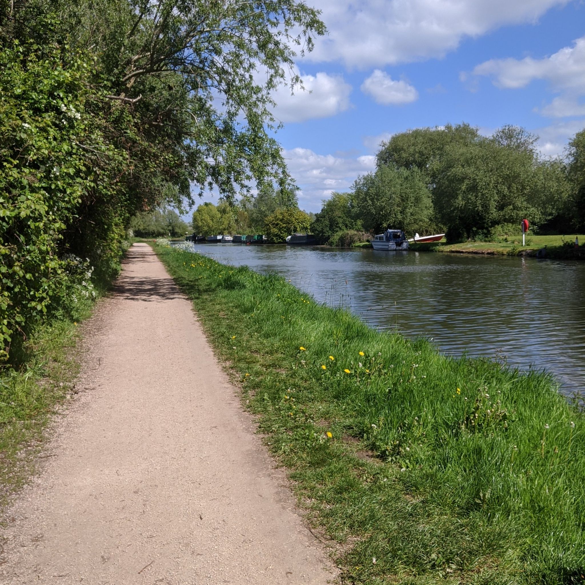
Nice stretch of cycleway to properly get you out of the grasp of Cambridge. Tarmac throughout bar one very short stretch of gravel through the churchyard at Whittlesford. Do be mindful of other users as not particularly wide. I was riding mid morning on a Monday and was largely empty, not sure what it would be like at busier times.
0
0
Pleasant climb up towards Elmdon, into the more rolling terrain. Climb is mostly steady throughout, with no serious gradients to overly challenge.
0
0

The Co-op has a cafe inside so you can get a coffee or a bacon roll. Unsurprisingly, there's no bike parking so it's more a place to grab something than stop.
0
0

There’s also the Cock Inn a few yards down the road.
0
0

Radio interferometry started in the mid-1940s on the outskirts of Cambridge, but with funding from the Science Research Council and a corporate donation of £100,000 from Mullard Limited, a leading commercial manufacturer of thermionic valves. Construction of the Mullard Radio Astronomy Observatory commenced at Lords Bridge Air Ammunition Park,[1] a few kilometres to the west of Cambridge. The observatory was founded under Martin Ryle of the Radio-Astronomy Group of the Cavendish Laboratory, University of Cambridge and was opened by Sir Edward Victor Appleton on 25 July 1957. This group is now known as the Cavendish Astrophysics Group. (https://en.wikipedia.org/wiki/Mullard_Radio_Astronomy_Observatory)
3
0

Visit The Blackbird's Nest Mobile Coffee Shop, based in Barrington church car park. Tuesday-Saturday 8am to 12pm. Serving outrageously good coffee, tea, soft drinks, pastries, and cooked breakfast rolls
0
0

War Memorial on former airfield worth a few minutes stop.
0
0
Frequently Asked Questions
What kind of terrain can I expect on road cycling routes around Dry Drayton?
The region around Dry Drayton is characterized by a rural landscape with primarily paved surfaces. You'll find a mix of flat to gently rolling topography, offering pleasant views across open country, especially along Madingley Road. While largely arable farmland, the routes provide diverse experiences suitable for various fitness levels.
Are there routes suitable for beginners or those looking for an easy ride?
Yes, Dry Drayton offers numerous easy road cycling routes. For instance, the Boxworth Bends – Madingley Hill loop from Hardwick Wood is an easy 35.8 km (22.2 miles) ride, typically completed in about 1 hour 23 minutes. Another great option is the Mohak Café – Caldecote Church and Descent loop from Hardwick, an easy 31.1 km (19.3 miles) path featuring rural roads and gentle descents.
What are some of the longer or more challenging road cycling options?
For those seeking a more challenging ride, Dry Drayton has several moderate routes. The Hot Numbers Roastery – Chapel Hill Climb loop from Hardwick covers 68.2 km (42.4 miles) and leads through varied rural landscapes. Another longer, moderate option is the Sweeping Country Lane – Saffron Walden — Market Town loop from Hardwick, which extends to 88.2 km (54.8 miles).
What kind of natural features or wildlife might I encounter on a ride?
Despite being largely cleared for arable farming, the region offers pleasant views and opportunities to spot wildlife. Cyclists might see Muntjac deer, foxes, badgers, and various bird species like sparrowhawks and woodpeckers. Butterflies such as the Peacock and Red Admiral are also commonly seen, adding to the natural appeal of the routes.
Are there any historical landmarks or attractions to see along the routes?
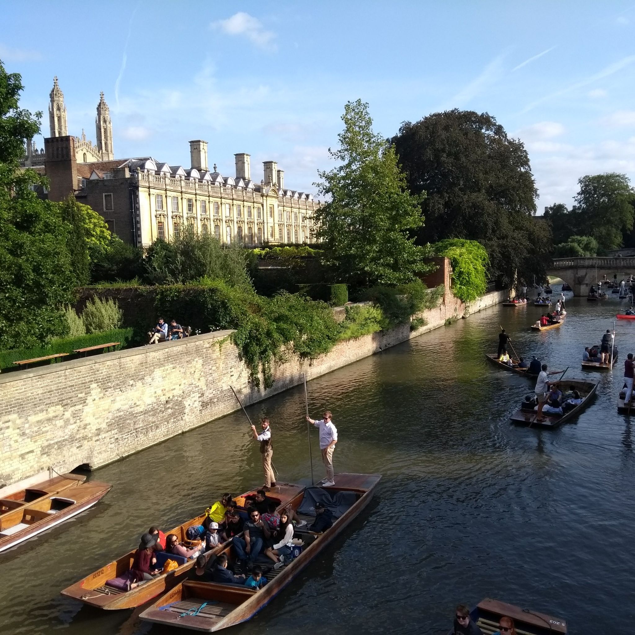
Yes, while Dry Drayton itself has historical elements like the 13th-century Church of St Peter and St Paul, its proximity to Cambridge means you can extend rides to include iconic landmarks. Nearby attractions include King's College Chapel and the Mathematical Bridge at Queens' College in Cambridge. Madingley Hall is also a notable attraction in the vicinity.
Are there any traffic-free or dedicated cycle paths in the area?
Yes, efforts have been made to improve cycling infrastructure. There are traffic-free routes, such as the path to Bar Hill and a suspension bridge for cyclists across the A14. Additionally, the Cambridge Guided Busway Cycle Path and the Cambridge to St Ives Guided Busway Cycle Path offer dedicated cycling experiences.
What is the best time of year for road cycling around Dry Drayton?
The region is generally pleasant for cycling through spring, summer, and early autumn. These seasons offer milder weather and longer daylight hours, making for more enjoyable rides. While winter cycling is possible, be prepared for colder temperatures and potentially wet conditions.
Are there any circular road cycling routes available?
Many of the road cycling routes around Dry Drayton are designed as loops, offering convenient circular journeys. Examples include the Boxworth Bends – Madingley Hill loop and the Smooth Straight Road – Greenwich Meridian Line Marker loop from Hardwick, allowing you to start and finish in the same location.
What do other road cyclists say about the routes in Dry Drayton?
The road cycling routes around Dry Drayton are highly rated by the komoot community, with an average score of 4.5 stars from over 800 reviews. More than 19,000 road cyclists have explored the area, often praising the varied terrain, rural scenery, and the network of paths suitable for different abilities.
Are there any places to stop for refreshments or a pub lunch along the routes?
Dry Drayton village itself has a public house, The Black Horse, which serves as a local hub. Many routes will pass through or near other villages and towns that offer cafes and pubs, providing opportunities for refreshments and breaks during your ride. For example, the Mohak Café – Caldecote Church and Descent loop mentions a cafe in its name, indicating potential stops.
Is there parking available for cyclists in Dry Drayton?
While specific dedicated cyclist parking isn't detailed, as a village, Dry Drayton typically offers on-street parking or small public car parks. It's advisable to check local signage upon arrival for the most current parking regulations and availability, especially if you plan to start your ride directly from the village.
Can I reach Dry Drayton by public transport with my bike?
Dry Drayton is approximately 5 miles northwest of Cambridge. While local bus services connect the village to Cambridge, policies regarding bikes on public transport can vary. It's recommended to check with the specific bus operator for their current regulations on carrying bicycles, especially during peak hours.
Most popular attractions around Dry Drayton

Get inspired with the komoot mobile app


Explore more
Browse the best Road cycling routes in other regions.
