The best walks and hikes around Windisch
4.7
(473)
1,642
hikers
18
hikes
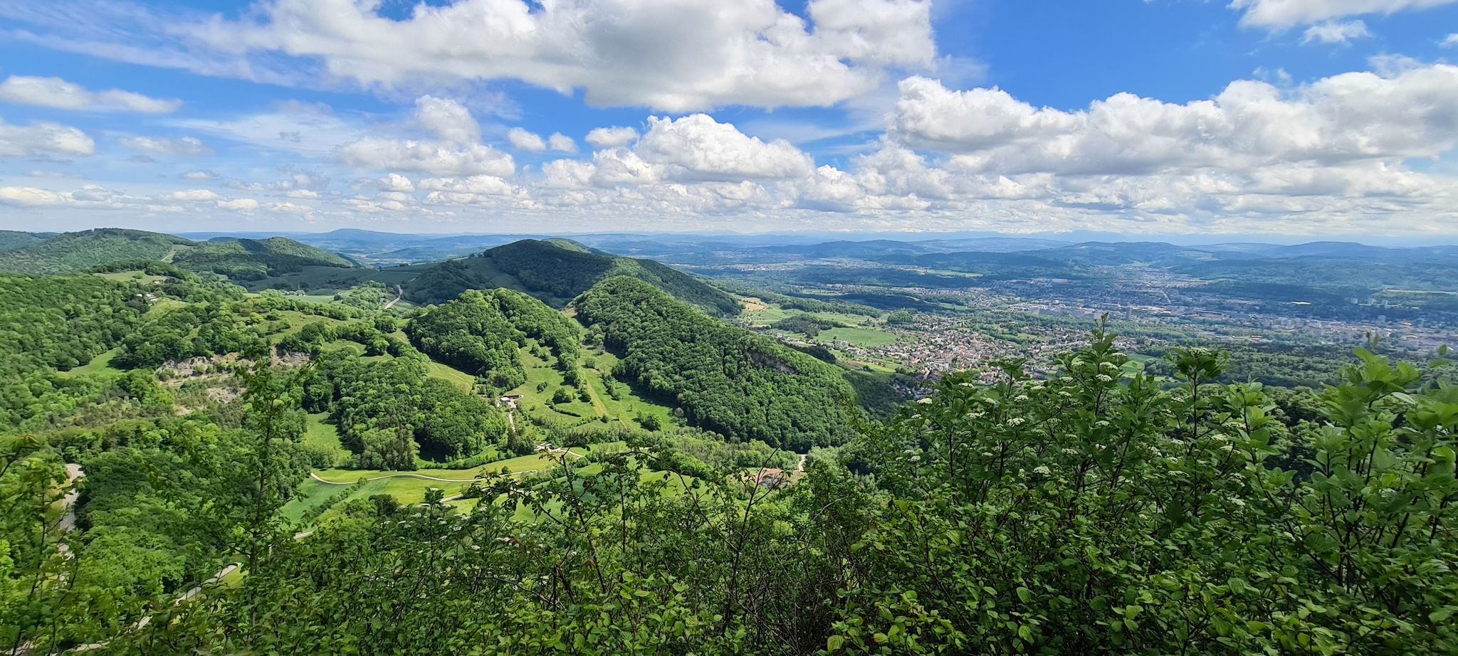
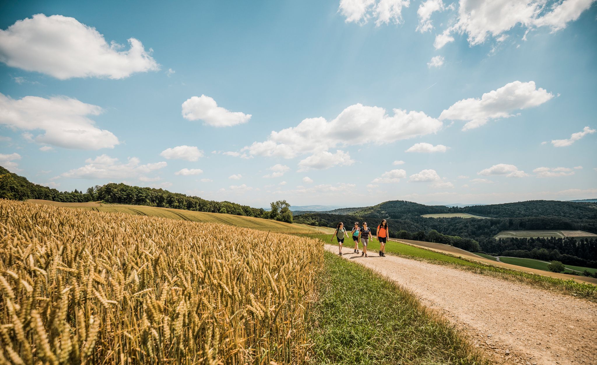
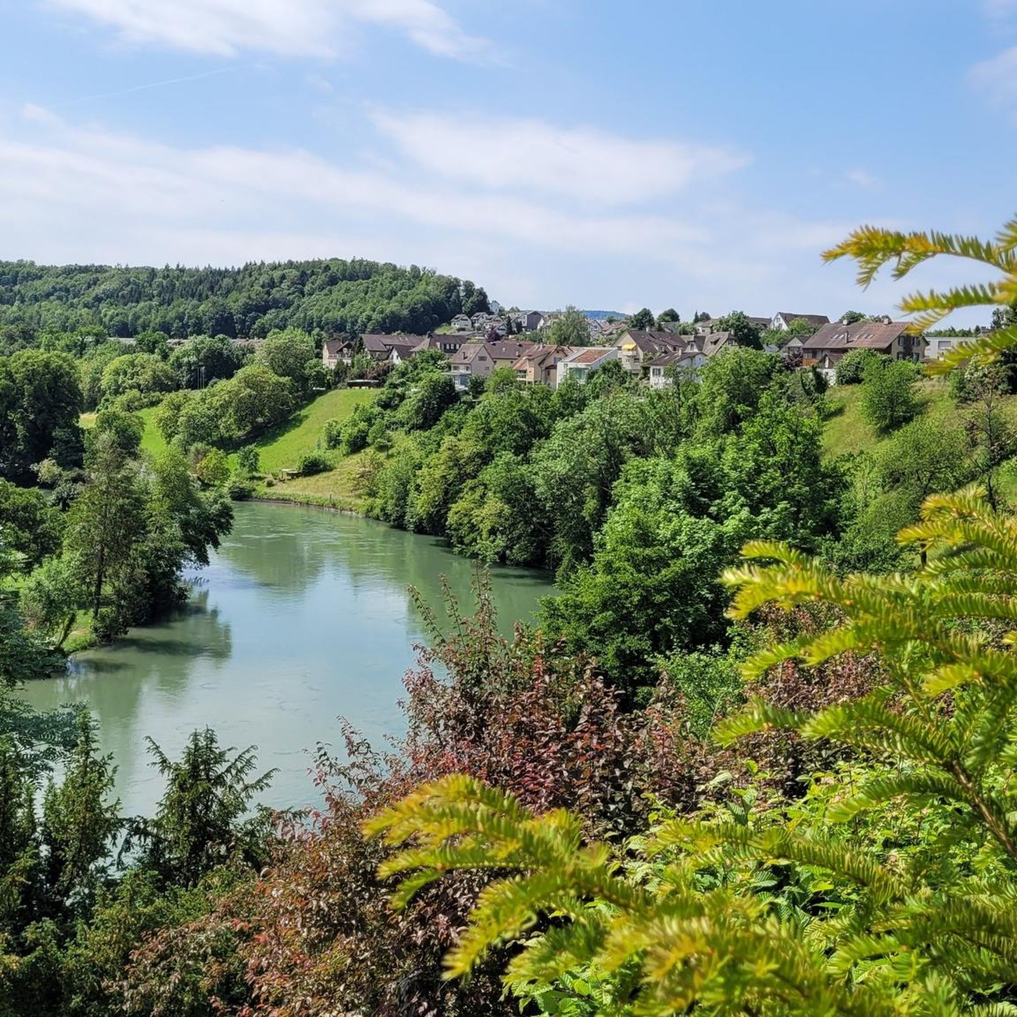
Hiking around Windisch offers diverse landscapes at the confluence of the Aare, Reuss, and Limmat rivers, known as the "Wasserschloss." This region features picturesque floodplains, wetland forests, and gentle hills like the Gebenstorfer Horn. Trails often follow the unique riverine environments, providing accessible paths through a green oasis with varied natural elements. The area also integrates historical sites, allowing for cultural discovery alongside nature exploration.
Best hiking trails around Windisch
- The most popular hiking route is Bench With a View…
Last updated: September 30, 2026
4.8
(50)
186
hikers
Moderate hike. Good fitness required. Easily-accessible paths. Suitable for all skill levels.
4.9
(8)
70
hikers
4.47km
01:10
30m
30m
Easy hike. Great for any fitness level. Easily-accessible paths. Suitable for all skill levels.

3.5
(2)
14
hikers
6.70km
01:45
40m
40m
Easy hike. Great for any fitness level. Easily-accessible paths. Suitable for all skill levels.
5.0
(3)
10
hikers
Moderate hike. Good fitness required. Easily-accessible paths. Suitable for all skill levels.
12
hikers
4.46km
01:14
80m
80m
Easy hike. Great for any fitness level. Easily-accessible paths. Suitable for all skill levels.
Get access to more routes and recommendations from other explorers.
Already have an account?
Our route recommendations are based on thousands of hikes, rides, and runs completed by other people on komoot.
Start today with a free account
Your next adventure awaits.
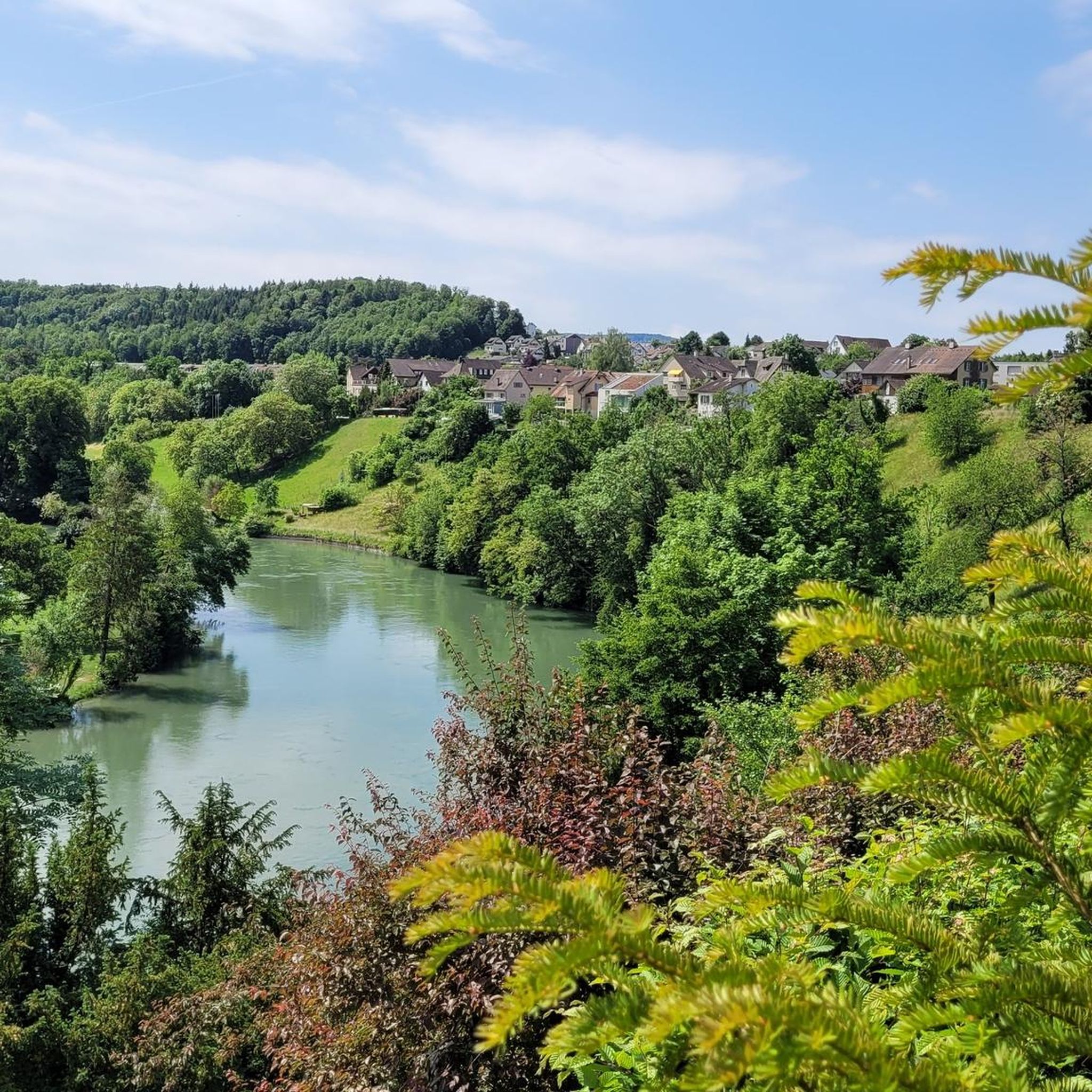
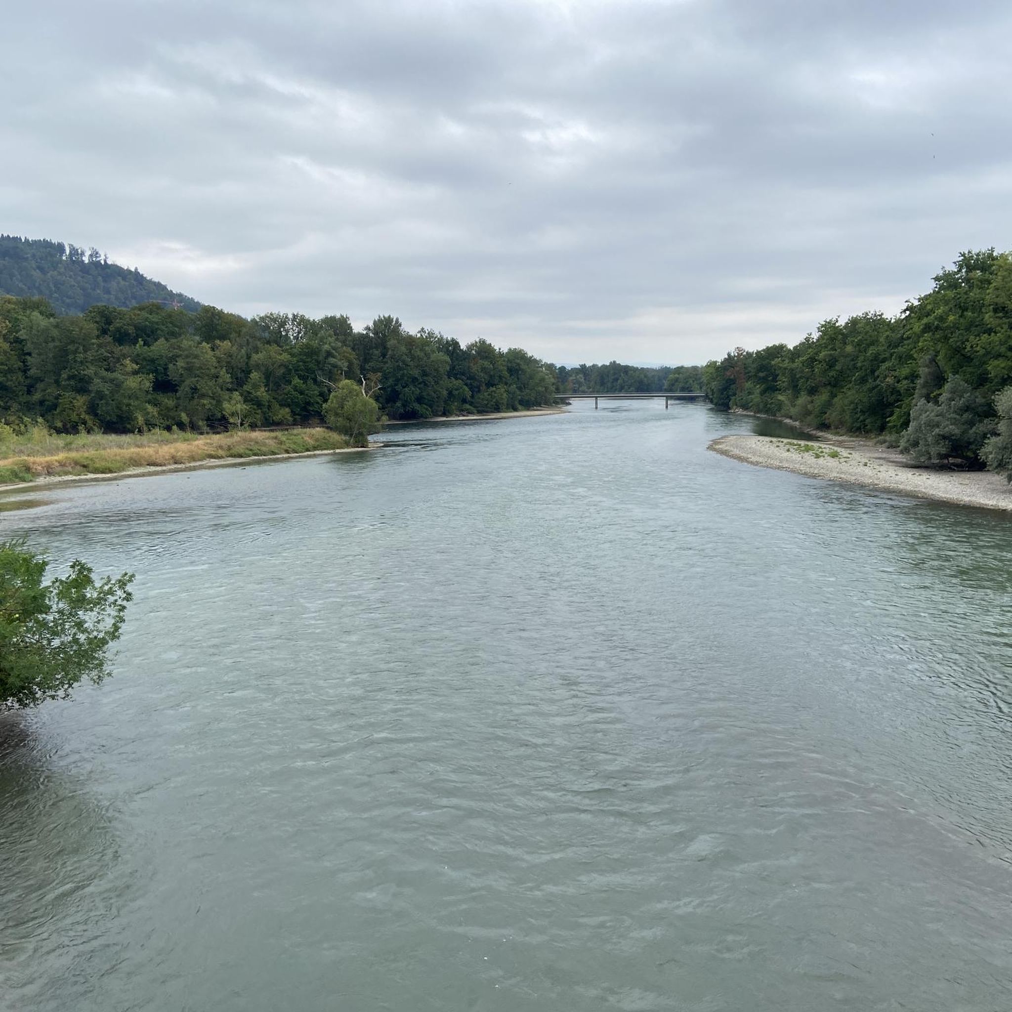



Tips from the Community

Beautiful birdsong and the rushing of the Reuss
0
0

The Müllimatsteg bridge is truly an architectural highlight! Especially at night, when it's illuminated, it's clear how much thought the architects put into the lighting. For me, it's an absolute highlight. When you walk across the bridge, you can feel the vibrations of the bridge, whether someone is jogging or running at the other end. From the bridge, you have a beautiful view of the Casino Bridge and the Aare. Many hiking trails run along both banks of the Aare, some nice and wide and easy, others winding and root-filled, directly along the banks through the protected areas. You can also find a few barbecue grills on the military island. A popular excursion and recreation destination. Have fun!
1
0
The dam in Unterwindisch, near the former spinning mill, or today's Kunzareal, is very impressive. Especially when the Reuss River is carrying large volumes of water. Then, the U-shaped fall of the water masses is clearly visible and absolutely worth seeing. The place is a popular hotspot. I personally return again and again to enjoy the peace and nature.
3
0
A beautiful place to stop in nature.
1
0
A simple barbecue area on the banks of the Reuss, next to the ditch.
1
0

The drinking water fountain, dating back to 1868, is now fed by a historic aqueduct dating back to Roman times. The conduit was donated to the Königsfelden Monastery in 1363 and supplied parts of Windisch with drinking water until 1898.
0
0
The Reuss Weir near Windisch is a striking structure on the lower reaches of the Reuss River, just before its confluence with the Aare. It is part of the Windisch power plant, which was built around 1916 and harnesses the hydropower of the Reuss River. The weir regulates the water flow and is accessible via a concrete footbridge.
10
0
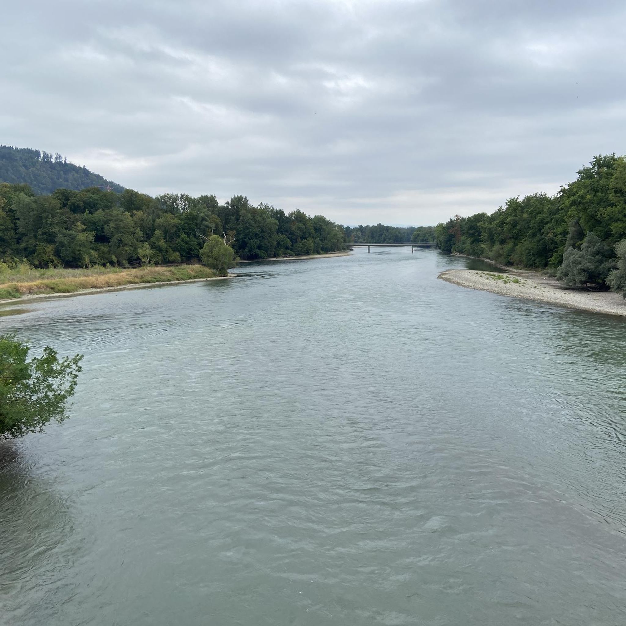
The confluence of the Reuss and Aare rivers is located in the so-called "water castle of Switzerland," a unique river landscape in the canton of Aargau. Here, the three major rivers, the Aare, Reuss, and, a little further downstream, the Limmat, meet—a hydrologically significant location where water from around 40% of Switzerland's land area converges.
6
0
Frequently Asked Questions
What kind of terrain can I expect on hiking trails around Windisch?
Hiking around Windisch is characterized by its unique riverine landscapes, where the Aare, Reuss, and Limmat rivers converge to form the "Wasserschloss." You'll find picturesque floodplains, wetland forests, and gentle hills. Trails often follow these river environments, offering accessible paths through a green oasis. For more experienced hikers, the Lägerngrat Ridge Trail provides a rocky path with varied terrain and beautiful views, though it requires sure-footedness.
Are there any family-friendly hiking options in Windisch?
Yes, Windisch offers several family-friendly options. The region's easy riverside strolls, particularly along the Reuss, are suitable for all ages. The Reuss Weir in Windisch – Along the Reuss loop from Brugg is an easy 4.5 km path that provides a pleasant riverside experience. Additionally, the Legionärspfad Vindonissa (Roman Legionary Path) is an engaging audio and cultural hike designed for families to explore the history of Roman soldiers.
What historical landmarks can I discover while hiking in Windisch?
Windisch is rich in history. You can explore the Habsburgerweg, a historical path that leads past significant sites like Habsburg Castle, the ancestral seat of the Habsburgs, and Wildegg Castle. The Legionärspfad Vindonissa offers an immersive experience into the Roman legionary camp that once stood here. The Königsfelden Monastery Church, also within walking distance of Brugg, is another historical site that can be incorporated into your walks.
Are there any circular hiking routes available in Windisch?
Yes, many of the trails around Windisch are designed as loops, allowing you to start and end in the same location. Examples include the moderate Bench With a View of the Reuss – Reuss Riverside Trail loop from Brugg, which is 9.4 km, and the easy Reuss Weir in Windisch – Bossarthaus loop from Brugg, covering 6.7 km through riverine landscapes.
What are the best viewpoints or scenic spots in the Windisch hiking area?
For panoramic views of the unique "Wasserschloss" region, the Gebenstorfer Horn is an excellent elevated point. The confluence of the Aare, Reuss, and Limmat rivers itself offers picturesque scenes of floodplains and wetland forests. Additionally, the Lägerngrat Ridge Trail provides beautiful vistas over the Mittelland for those seeking higher elevations.
How many hiking trails are there in Windisch, and what are their difficulty levels?
There are over 20 hiking trails around Windisch. The majority are easy, with 16 routes classified as such, making them accessible for many. There are also 4 moderate trails for those looking for a bit more challenge, but no difficult routes are listed, ensuring a generally approachable hiking experience.
What do other hikers enjoy most about hiking in Windisch?
The area is highly rated by the komoot community, with an average score of 4.7 stars from over 400 reviews. Hikers often praise the diverse riverine landscapes, the peaceful atmosphere of the wetland forests, and the integration of historical sites that add a cultural dimension to their outdoor adventures.
Can I reach hiking trails in Windisch using public transport?
Yes, many hiking trails and historical sites in Windisch are accessible via public transport. For instance, the Legionärspfad Vindonissa and the Königsfelden Monastery Church are both within walking distance of Brugg train station, which serves as a convenient starting point for several routes along the Reuss.
Are there any unique natural features to look out for on the trails?
Absolutely. The region is defined by the unique "Wasserschloss" where three major rivers converge, creating a rich ecosystem of floodplains, ponds, and wetland forests. You can also explore the impressive Aare Gorge on some longer routes. A notable natural monument is the majestic Linn Linden Tree in the Linnerberg Forest, a legendary tree over 700 years old with an impressive circumference.
Are there any shorter, easy hikes suitable for a quick outing?
Yes, for a shorter and easy outing, you can consider the Bench With a View of the Reuss – Rest Area by the Reuss River loop from Brugg. This trail is only 3.7 km long and offers a pleasant experience along the river, perfect for a quick walk.
What kind of natural landscapes define the Windisch hiking experience?
The hiking experience in Windisch is largely defined by its unique riverine landscapes. As the "moated heart of Switzerland," the area features the confluence of the Aare, Reuss, and Limmat rivers, creating extensive floodplains, wetland forests, and a 'green oasis' along the Reuss with jungle-like banks, rapids, and islands. These diverse water-influenced environments are central to the region's natural beauty.
Most popular attractions around Windisch

Get inspired with the komoot mobile app


Explore more
Browse the best Hikes in other regions.
