The best running trails around Windisch
4.6
(19)
320
runners
26
runs
Jogging routes around Windisch offer diverse running experiences within a landscape shaped by the confluence of the Aare and Reuss rivers. The region features pleasant riverside paths, green spaces, and varied terrain, including mostly paved surfaces and accessible natural trails. These running routes often integrate historical landmarks, providing a blend of exercise and cultural exploration.
Best jogging routes around Windisch
- The most popular jogging route is Reuss Weir in Windisch – Rest Area by the Reuss River loop from Brugg…
Last updated: September 30, 2026
5.0
(3)
89
runners
Moderate run. Good fitness required. Mostly paved surfaces. Suitable for all skill levels.
5.0
(1)
51
runners
18.4km
02:03
120m
120m
Hard run. Very good fitness required. Mostly paved surfaces. Suitable for all skill levels.

30
runners
5.49km
00:35
10m
10m
Moderate run. Good fitness required. Mostly paved surfaces. Suitable for all skill levels.
4.0
(1)
19
runners
5.09km
00:33
70m
70m
Moderate run. Good fitness required. Mostly paved surfaces. Suitable for all skill levels.
3.3
(4)
17
runners
7.51km
00:49
40m
40m
Moderate run. Good fitness required. Mostly paved surfaces. Suitable for all skill levels.
Get access to more routes and recommendations from other explorers.
Already have an account?
Our route recommendations are based on thousands of hikes, rides, and runs completed by other people on komoot.
Start today with a free account
Your next adventure awaits.



Tips from the Community

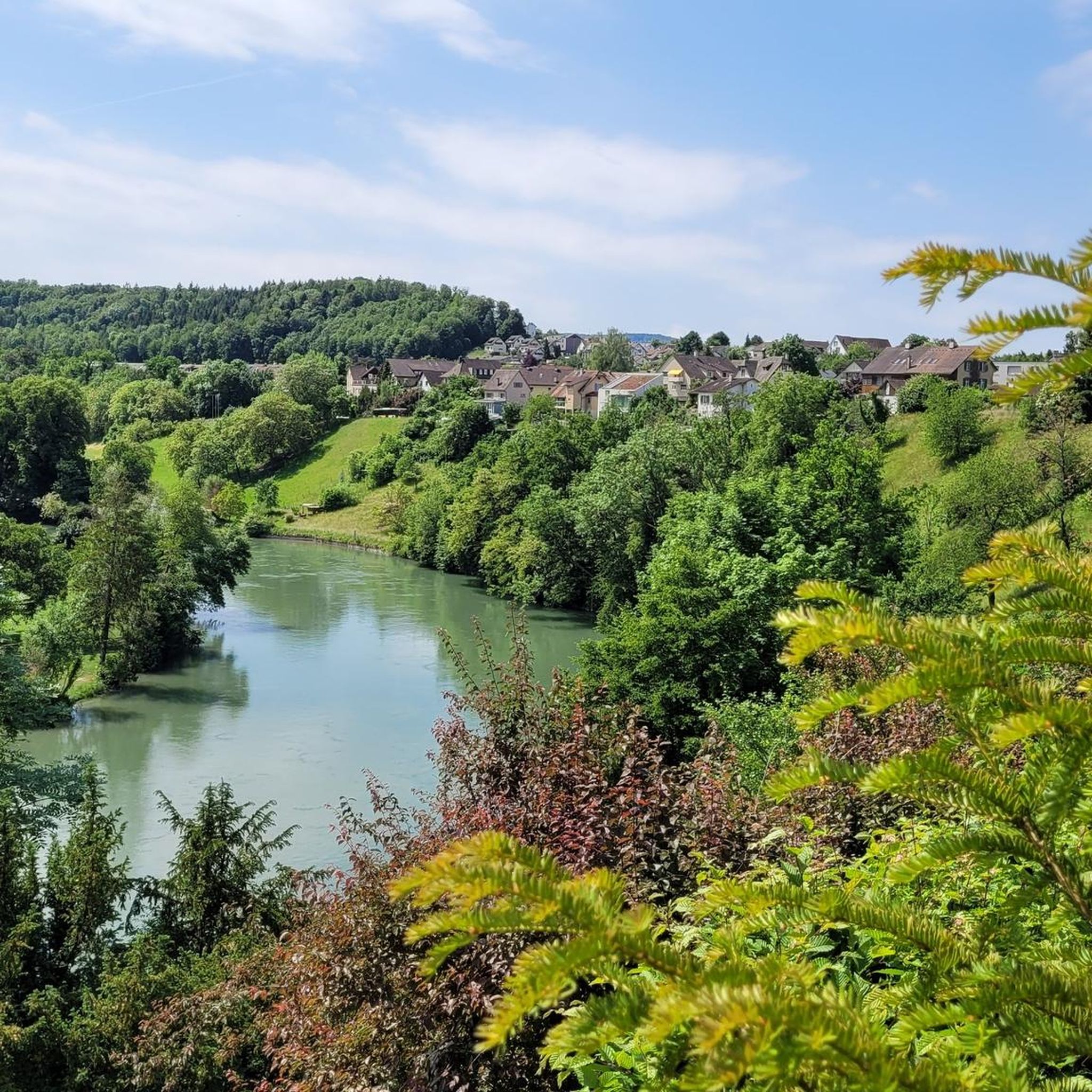
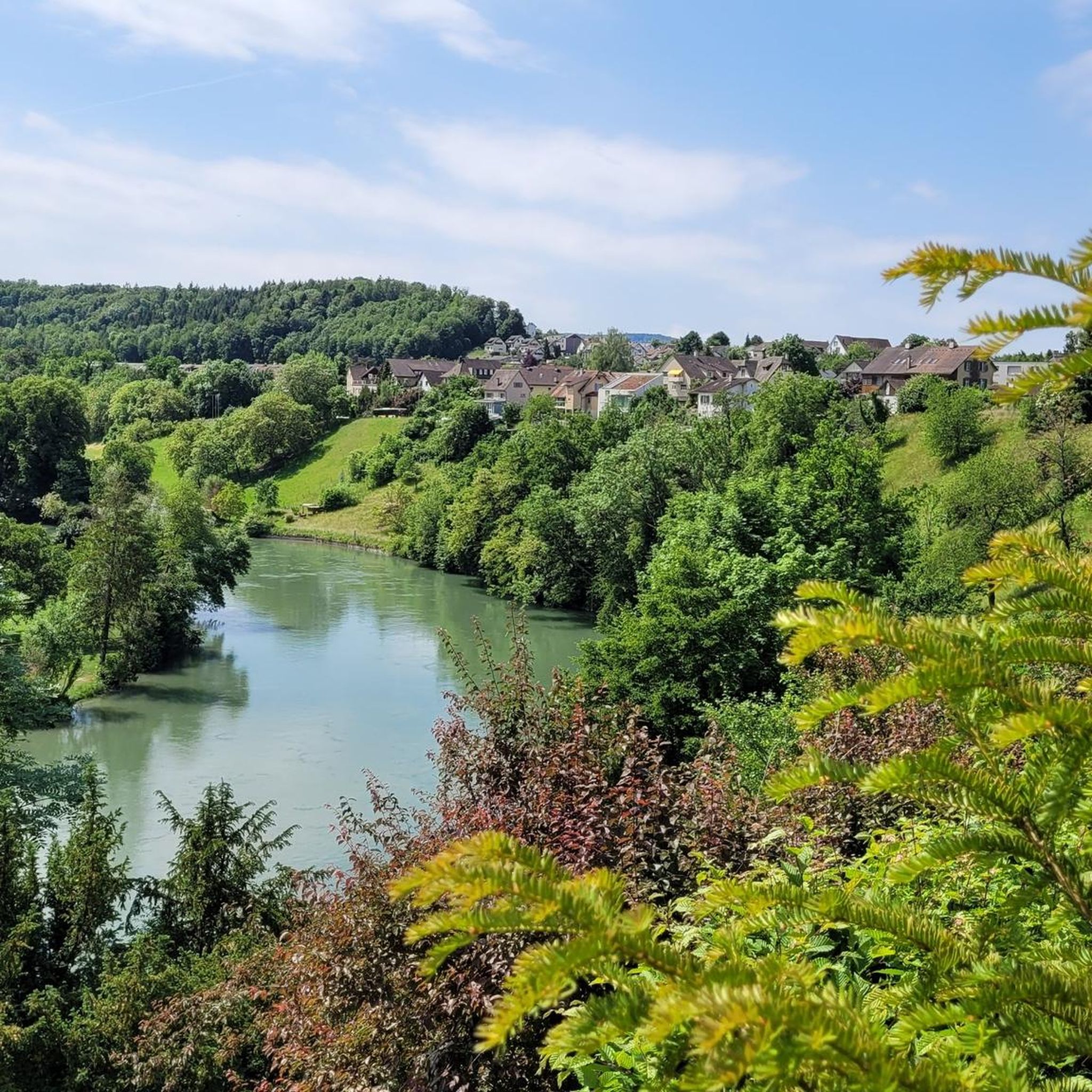
The parking lot is located in front of the Reuss bridge on the Mülligen side. It's not just for parking, but also for picnics. Nice spot to cool off too. Also well suited as a starting point for tours.
0
0
The Müllimatsteg bridge is truly an architectural highlight! Especially at night, when it's illuminated, it's clear how much thought the architects put into the lighting. For me, it's an absolute highlight. When you walk across the bridge, you can feel the vibrations of the bridge, whether someone is jogging or running at the other end. From the bridge, you have a beautiful view of the Casino Bridge and the Aare. Many hiking trails run along both banks of the Aare, some nice and wide and easy, others winding and root-filled, directly along the banks through the protected areas. You can also find a few barbecue grills on the military island. A popular excursion and recreation destination. Have fun!
1
0
The dam in Unterwindisch, near the former spinning mill, or today's Kunzareal, is very impressive. Especially when the Reuss River is carrying large volumes of water. Then, the U-shaped fall of the water masses is clearly visible and absolutely worth seeing. The place is a popular hotspot. I personally return again and again to enjoy the peace and nature.
3
0

The Black Tower is Brugg's proud landmark—imposing, mysterious, and steeped in history. Built in the 12th century to protect the Aare Bridge, it later even served as a prison. With its thick walls, its bay window overlooking the river, and the Roman stones in its foundation, it speaks of power, change, and centuries of city history—a silent sentinel at the entrance to the old town.
9
0
The Reuss Weir near Windisch is a striking structure on the lower reaches of the Reuss River, just before its confluence with the Aare. It is part of the Windisch power plant, which was built around 1916 and harnesses the hydropower of the Reuss River. The weir regulates the water flow and is accessible via a concrete footbridge.
10
0

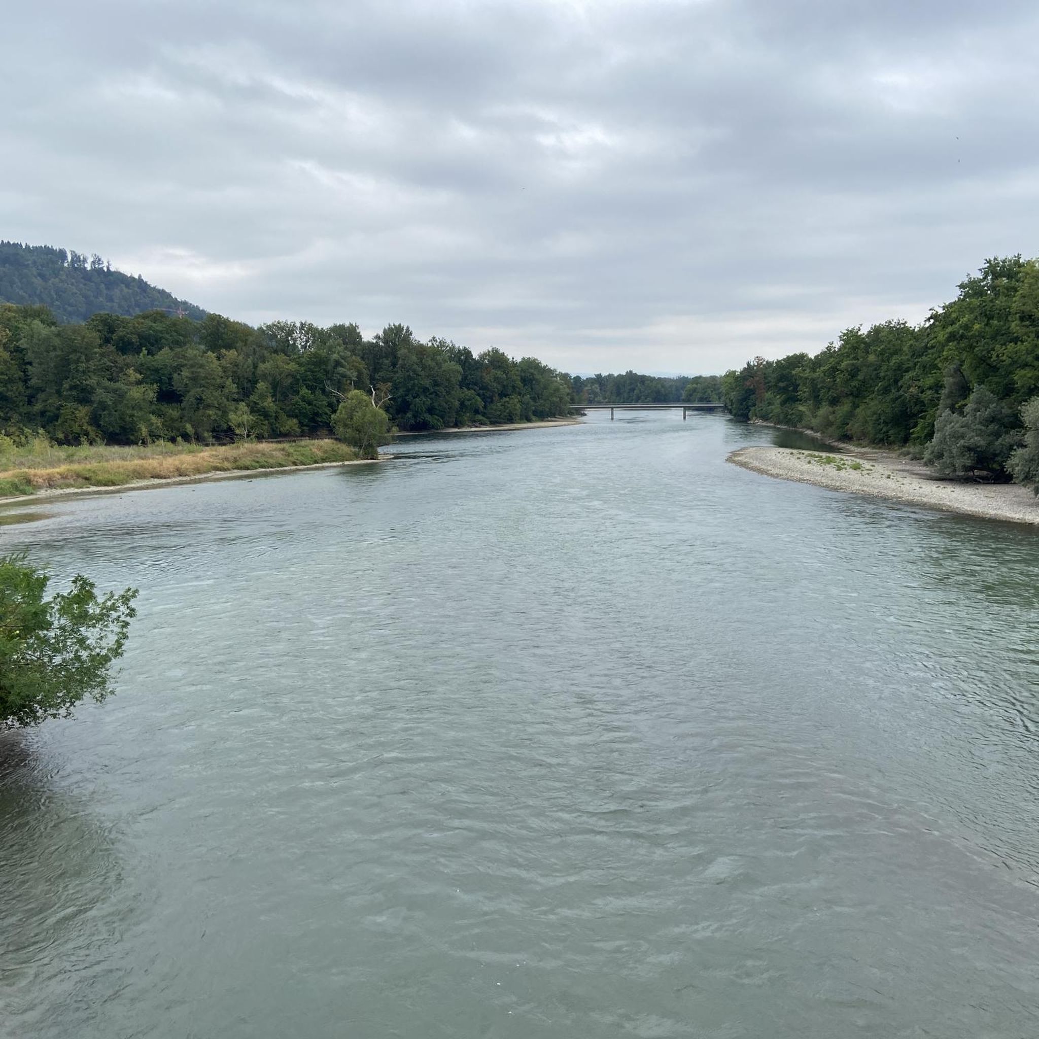
During a half marathon rather dense, but otherwise very nice passage along the Aare
0
0

Right next to the stone bridge stands the imposing Black Tower, the oldest building and landmark of the city, first mentioned in documents in 1238. The stones of the lower gate area come from the legionary camp of Vindonissa and are therefore even several hundred years older.
2
0
The Mülimatt sports training center was built by the canton of Aargau and the city of Brugg and has been in operation since September 1, 2010. The beautiful architecture delights us every time we drive past, especially in the dark with the lighting.
2
0
Frequently Asked Questions
How many running routes are available around Windisch?
There are over 25 dedicated running routes around Windisch, catering to various fitness levels. These include a mix of easy, moderate, and challenging paths, ensuring there's something for every runner.
Are there any easy jogging routes suitable for beginners in Windisch?
Yes, Windisch offers several easy jogging routes perfect for beginners or those looking for a relaxed run. For instance, the Aaresteg Mülimatt Bridge – Pipe Bridge loop from Brugg is a moderate 3.4-mile (5.5 km) trail that follows pleasant riverside paths along the Aare, offering a relatively flat and enjoyable experience.
What kind of scenery can I expect on the jogging trails in Windisch?
Jogging routes in Windisch are known for their picturesque riverside paths along the Aare and Reuss rivers, green spaces, and varied terrain. You'll often find a blend of natural beauty and historical landmarks. The Reuss Weir in Windisch – Rest Area by the Reuss River loop from Brugg, for example, offers scenic views along the Reuss river, passing the imposing Reuss Weir.
Are there any running routes that pass by historical landmarks?
Absolutely! Windisch's rich history is integrated into its running routes. The Wasserschloss Gebenstorf – Schwarzer Turm (Brugg) loop from Brugg is a longer, more challenging route that incorporates historical sites such as the Schwarzer Turm (Black Tower) in nearby Brugg, offering a unique blend of exercise and cultural exploration.
Can I find circular jogging routes in the Windisch area?
Many of the jogging routes around Windisch are designed as loops, providing convenient circular paths. The Vita Parcours – Rest Area by the Reuss River loop from Brugg is a great example, offering a 3.2-mile (5.1 km) circular trail that allows you to start and finish at the same point.
What do other runners say about the jogging routes in Windisch?
The running routes in Windisch are highly rated by the komoot community, with an average score of 4.6 stars from over 15 reviews. Runners often praise the diverse landscapes, the well-maintained paths, and the opportunity to combine exercise with exploring historical sites and natural beauty.
Are there any specific attractions or points of interest I can see while running?
Yes, several routes offer views of or pass by interesting attractions. Beyond the historical sites like the Schwarzer Turm, you might encounter natural features such as the Linner Waterfall or the impressive Reuss Weir. The region also features viewpoints like the Cheisacherturm Lookout Tower, though these might require a slight detour from some running paths.
Are the jogging trails in Windisch accessible by public transport?
Many of the running routes in Windisch are easily accessible from public transport hubs, particularly from Brugg, which is well-connected. This makes it convenient to reach the starting points of various trails without needing a car.
What is the typical length and duration of running routes in Windisch?
The routes vary significantly in length and duration. You can find shorter runs like the Aaresteg Mülimatt Bridge – Pipe Bridge loop from Brugg, which is about 3.4 miles (5.5 km) and takes around 34 minutes. For longer runs, there are options like the Running loop from Brugg, which covers 4.7 miles (7.5 km) and typically takes about 1 hour.
Are there any specific considerations for jogging in Windisch during wet weather?
While many paths are paved or well-maintained, riverside trails can become muddy or slippery after heavy rain. It's always advisable to wear appropriate footwear with good grip and check local weather conditions before heading out. The main paths along the rivers are generally well-drained.
Is Windisch suitable for family-friendly jogging?
Yes, Windisch offers several routes that are suitable for families, especially those with older children or in strollers. The flatter, paved sections along the rivers provide a safe and enjoyable environment for a family run or walk. Always check the route's difficulty and terrain beforehand to ensure it meets your family's needs.
Most popular attractions around Windisch

Get inspired with the komoot mobile app


Explore more
Browse the best Running Trails & Routes in other regions.
