The best walks and hikes around Weilen unter den Rinnen
4.6
(5668)
23,614
hikers
712
hikes
Hiking around Weilen unter den Rinnen offers a diverse landscape characterized by rolling hills, dense forests, and scenic reservoirs. The region features varied elevations, including prominent peaks and towers that provide expansive views. Trails often traverse natural parks and protected areas, showcasing the local flora and fauna. This area provides a mix of terrain suitable for different hiking preferences.
Best hiking trails around Weilen unter den Rinnen
- The most popular hiking route is Lemberg Tower – Emil-Koch-Weg loop from Deilingen…
Last updated: May 23, 2026
4.7
(31)
122
hikers
18.2km
05:25
480m
480m
Hard hike. Very good fitness required. Mostly accessible paths. Sure-footedness required.
4.8
(41)
150
hikers
9.92km
02:47
190m
190m
Moderate hike. Good fitness required. Easily-accessible paths. Suitable for all skill levels.

Sign up for free
4.8
(45)
128
hikers
28.1km
08:23
770m
780m
Hard hike. Very good fitness required. Mostly accessible paths. Sure-footedness required.
4.8
(13)
64
hikers
Moderate hike. Good fitness required. Easily-accessible paths. Suitable for all skill levels.
5.0
(5)
25
hikers
11.0km
03:20
370m
370m
Moderate hike. Good fitness required. Easily-accessible paths. Suitable for all skill levels.
Get access to more routes and recommendations from other explorers.
Sign up for free
Already have an account?
Our route recommendations are based on thousands of hikes, rides, and runs completed by other people on komoot.
Start today with a free account
Your next adventure awaits.
Login or Signup
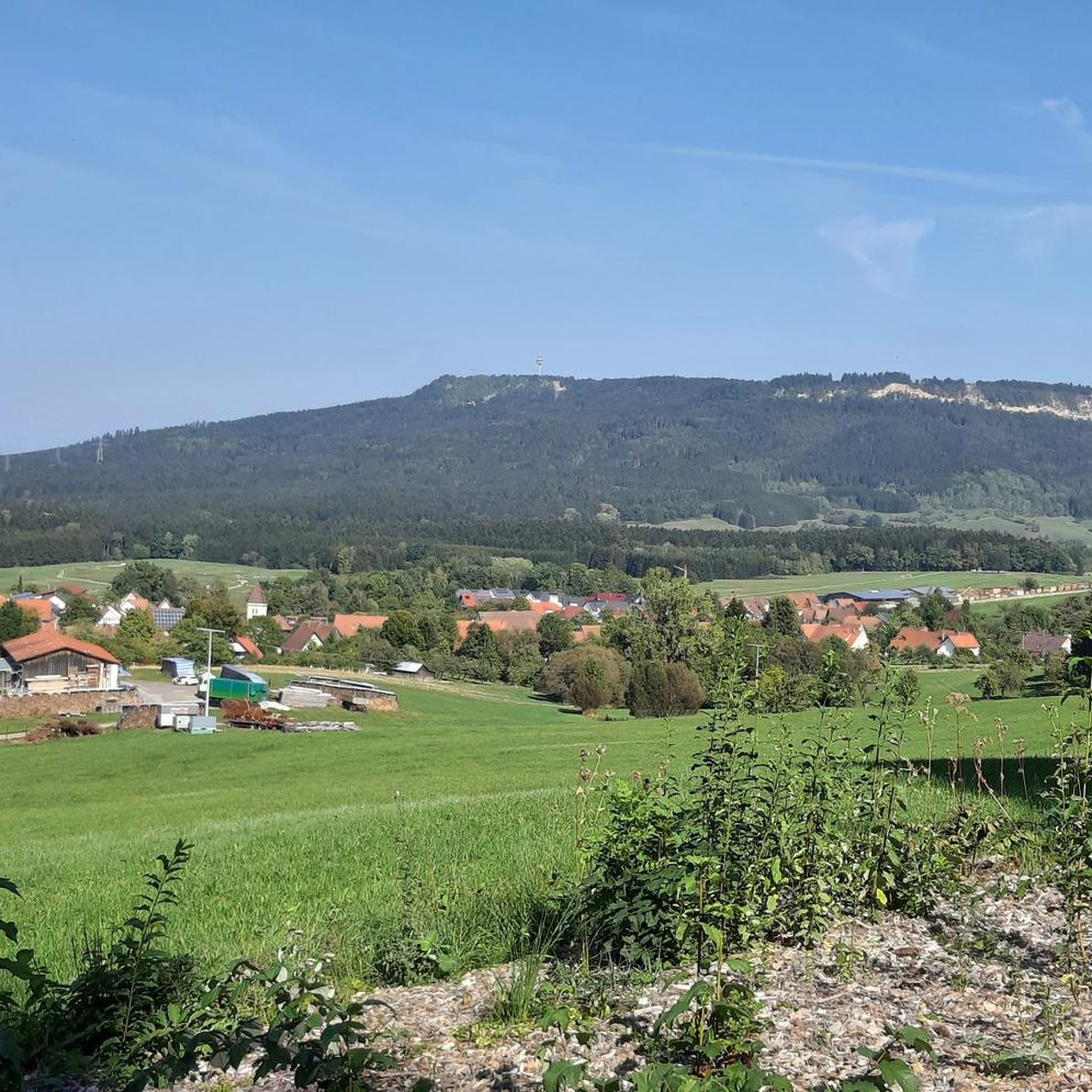
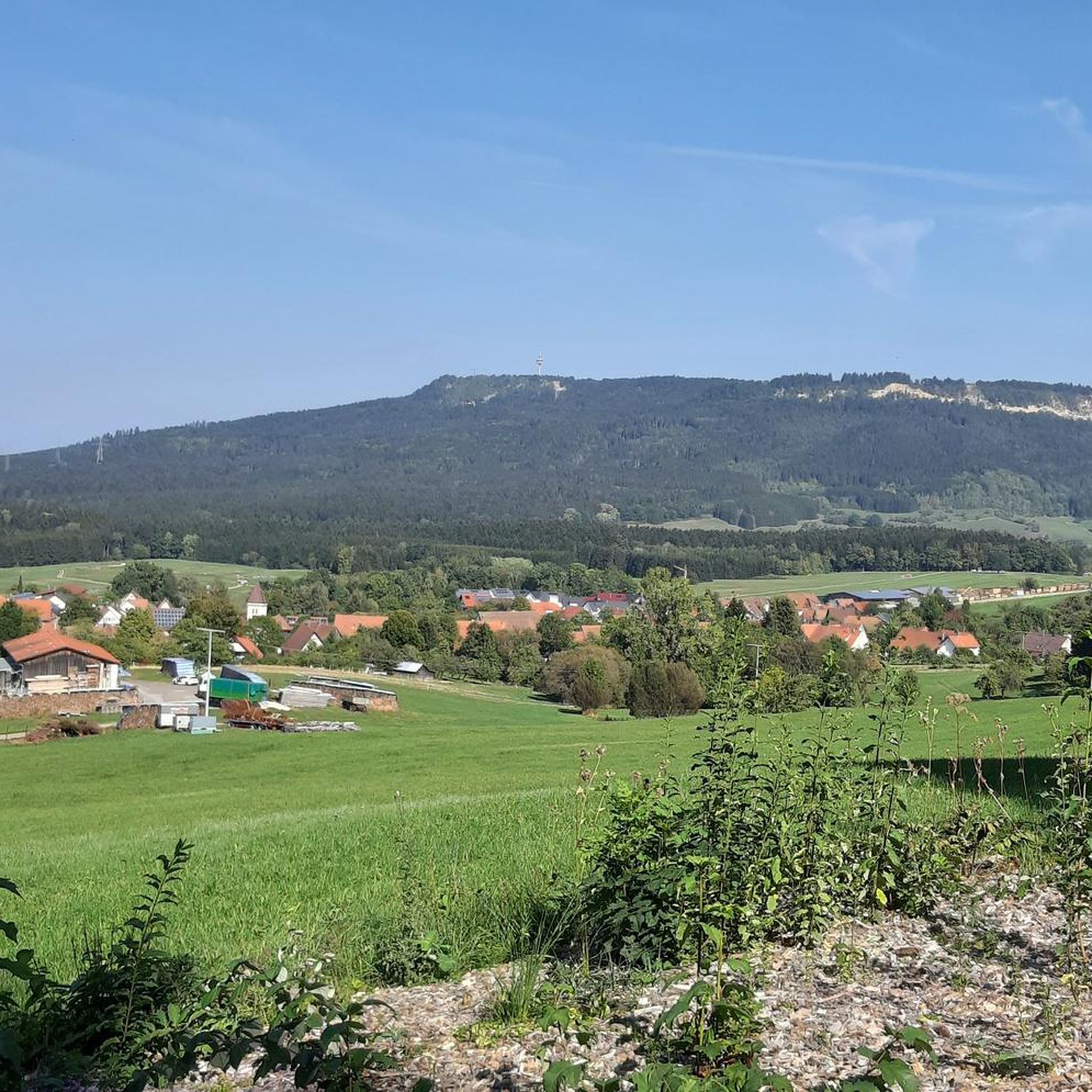
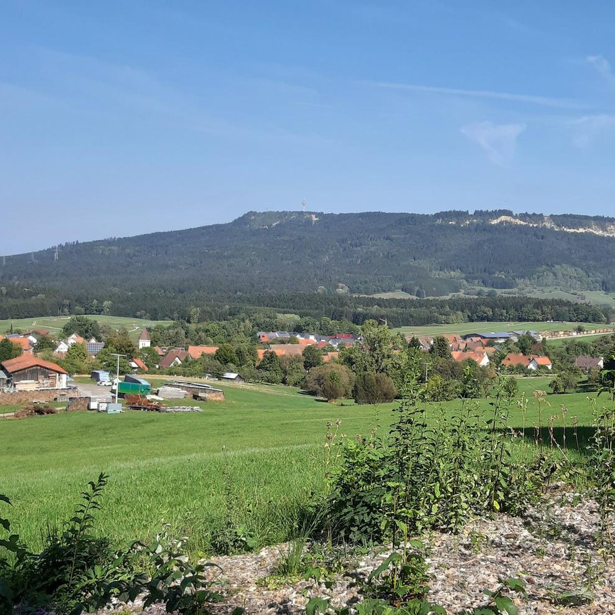
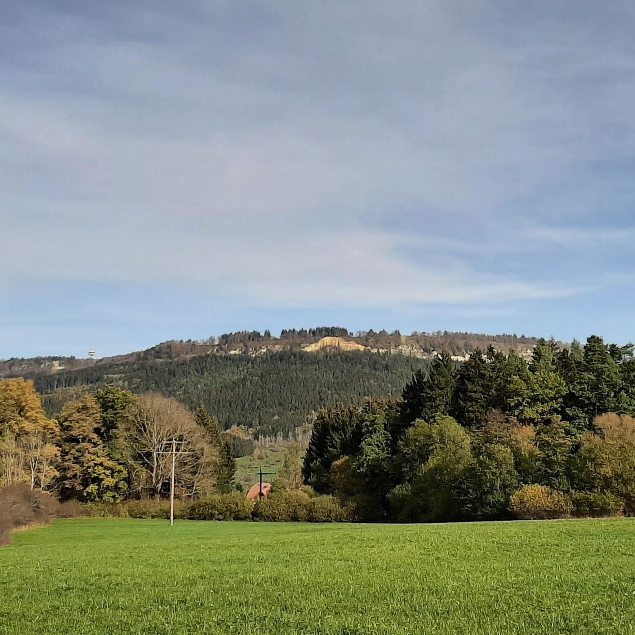

Tips from the Community

The main purpose of such stairs is to maximize oxygen intake into the water. This makes it possible for more fish to stay in the body of water and for pollutants to be broken down more quickly.
1
0

The Schlichemtalsperre (also known as Schömberger Stausee, mostly just called Stausee locally) east of Schömberg in Baden-Württemberg dams the Schlichem, a tributary of the Neckar coming from the Swabian Jura. The 90.6 ha Schömberger Stausee mit Palmbühl landscape protection area surrounds the Schlichemtalsperre. The approximately 1.35 km long and initially narrow reservoir, widening to about 175 m towards the end, with an area of 10.4 ha at 643.8 m above sea level (NHN), begins at the hamlet of Untere Säge and extends to the old town center of Schömberg. It has a catchment area of about 33.5 km², to which the Schlichem, over 11 km long at its inflow, contributes almost 90%. The watercourses Hölzlegraben from the forest to the right of the lake and Scheubühlgraben and Räßentälebach from the left, up to 1.2 km long, flow into it from the sides. A fish ladder leads from the Vorsee pre-reservoir near Untere Säge to the reservoir. There is also the only bridge over the lake that can be walked and driven on. The Schlichem Viaduct can only be used by the railway. The Schlichemtalsperre was built between 1940 and 1944. The Portlandzementwerk Rudolf Rohrbach KG (today Holcim (Süddeutschland) GmbH), based in neighboring Dotternhausen, which was the client for the dam, initially used it for cooling water supply and power generation. An outdoor swimming pool built in 1935 was flooded. After World War II, the facility was taken over by the state of Württemberg-Hohenzollern in 1948. The reservoir was renovated from 1975 to 1983. The barrier structure is an earth dam, and the hydropower plant within it has an output of 60 kW. There is a pre-reservoir, the Vorsee, which was built from 1975 to 1977. Source: https://de.wikipedia.org/wiki/Schlichemtalsperre
1
0

It offers a good view of Rottweil and the Black Forest.
6
0
Great view, test tower, Rottweil.
6
0

From here you have a beautiful view of the EKS tower in Rottweil.
7
0

Frequently Asked Questions
How many hiking trails are available in Weilen unter den Rinnen?
There are over 700 hiking trails around Weilen unter den Rinnen, offering a wide variety of options for all skill levels. This includes more than 390 easy routes, 300 moderate, and 20 difficult trails.
Are there easy hiking trails suitable for beginners or families in Weilen unter den Rinnen?
Yes, Weilen unter den Rinnen offers a significant number of easy trails, with over 390 routes suitable for beginners and families. These often feature gentler terrain and shorter distances. A good option for a moderate, family-friendly walk is the Schömberg Reservoir – Schlichemtalsperre Schömberg loop from Weilen unter den Rinnen, which is just under 5 miles (7.6 km) long and circles the tranquil reservoir.
What kind of natural attractions can I expect to see along the hiking trails?
The region is characterized by dense forests, rolling hills, and scenic reservoirs. You can also discover several natural highlights, including waterfalls and springs. Consider visiting the Schlichem Waterfall (Hausen am Tann) or the Kohlstattbrunnenbach and Source for picturesque water features.
Are there any circular hiking routes in Weilen unter den Rinnen?
Yes, many trails in Weilen unter den Rinnen are designed as circular routes, allowing you to start and end at the same point. For example, the Albrechtshütte – Montschenloch (1004 m) loop from Ortenberg is a moderate 6.2-mile (9.9 km) circular path that offers elevated perspectives over the region.
What do other hikers enjoy most about the trails in Weilen unter den Rinnen?
The hiking trails in Weilen unter den Rinnen are highly rated by the komoot community, with an average score of 4.6 stars from over 5,500 reviews. Hikers often praise the diverse landscape, including forested hills and prominent towers, as well as the well-maintained paths and scenic viewpoints.
Are there any trails that offer panoramic views or lead to viewpoints?
Absolutely. The region is known for its prominent peaks and towers that provide expansive views. The Lemberg Tower – Emil-Koch-Weg loop from Deilingen is a challenging 11.3-mile (18.2 km) trail that ascends to the Lemberg Tower, offering breathtaking panoramic views of the surrounding landscape.
Can I find places to rest or have a meal along the hiking routes?
Yes, there are several huts and shelters in the area where you can take a break or enjoy a meal. Highlights include the Plettenberg Hut and Playground and the Schörzinger Hut, which are popular spots for hikers.
What is the best time of year to go hiking in Weilen unter den Rinnen?
The diverse landscape of Weilen unter den Rinnen makes it suitable for hiking throughout much of the year. Spring and autumn offer pleasant temperatures and vibrant scenery, while summer provides longer daylight hours. Some trails may also be accessible for winter hiking, depending on snow conditions.
Are there any longer, more challenging hikes for experienced hikers?
Yes, for experienced hikers seeking a challenge, the region offers several difficult routes. The Steineberg Chapel – Lemberg Tower loop from Ortenberg is a demanding 17.5-mile (28.1 km) trail with significant elevation gain, typically taking over 8 hours to complete.
Are dogs allowed on the hiking trails in Weilen unter den Rinnen?
Generally, dogs are welcome on most hiking trails in Weilen unter den Rinnen, especially in the natural park areas. It's always recommended to keep dogs on a leash, particularly in nature reserves or near livestock, and to clean up after them. Specific restrictions might apply to certain protected areas, so check local signage.
Is there public transport available to reach the trailheads?
While some trailheads might be accessible by local bus services, public transport options can be limited in rural areas like Weilen unter den Rinnen. It's advisable to check local bus schedules in advance or consider driving to the starting points, as many routes are more easily reached by car.
Where can I find parking for hiking trails in Weilen unter den Rinnen?
Many popular trailheads and attractions in Weilen unter den Rinnen, especially those near villages or prominent landmarks, offer designated parking areas. These are often signposted. For specific routes, it's best to check the route details on komoot, as parking information is frequently provided there.
Most popular routes around Weilen unter den Rinnen
Most popular attractions around Weilen unter den Rinnen

Get inspired with the komoot mobile app


Explore more
Browse the best Hikes in other regions.
