The best cycling routes around Weilar
4.6
(3060)
11,974
riders
422
rides
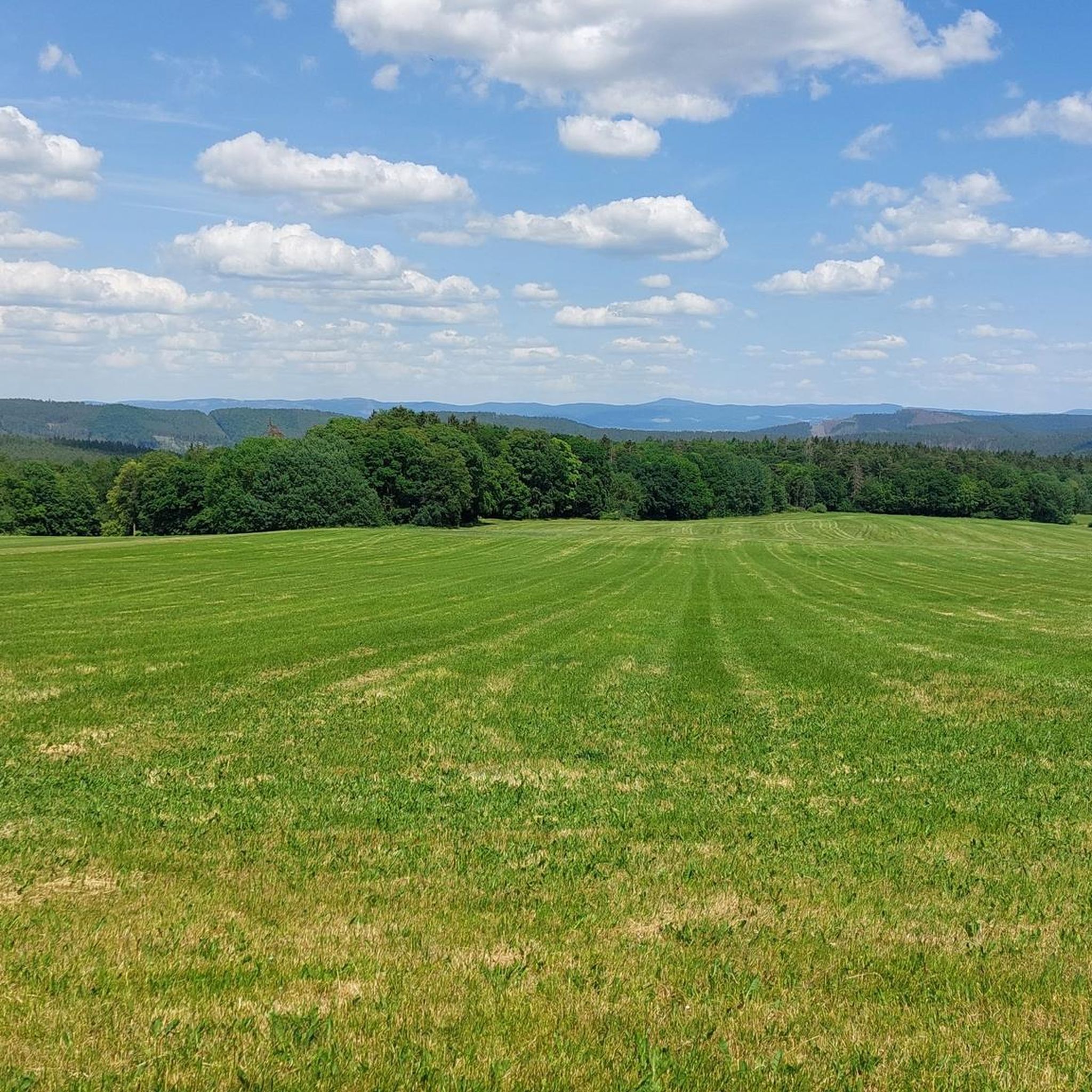
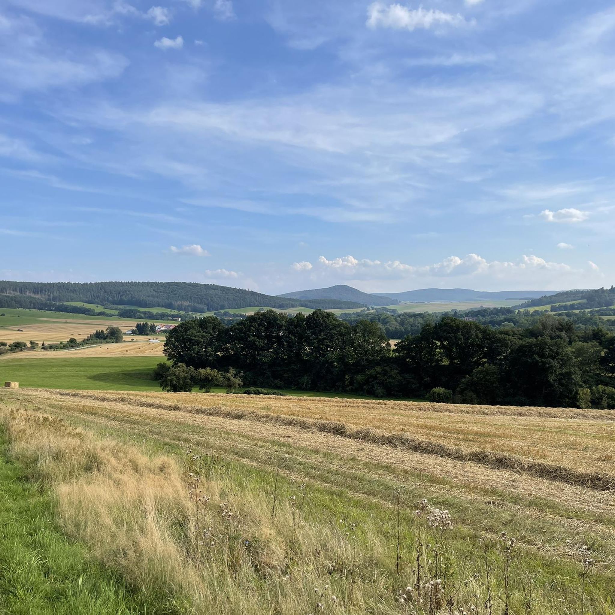
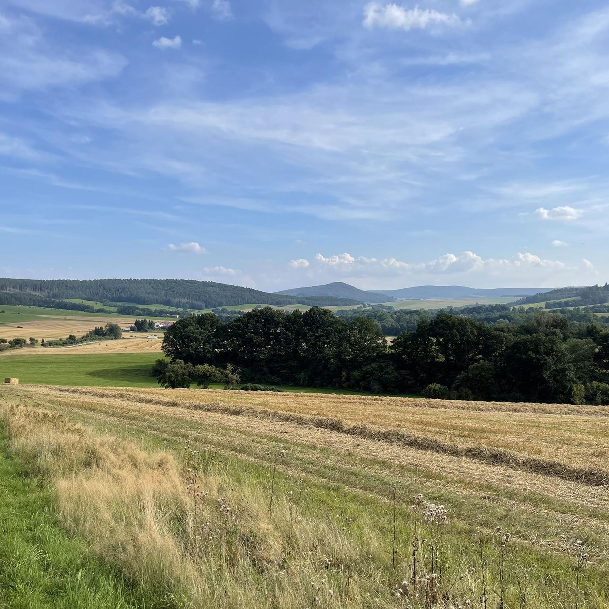
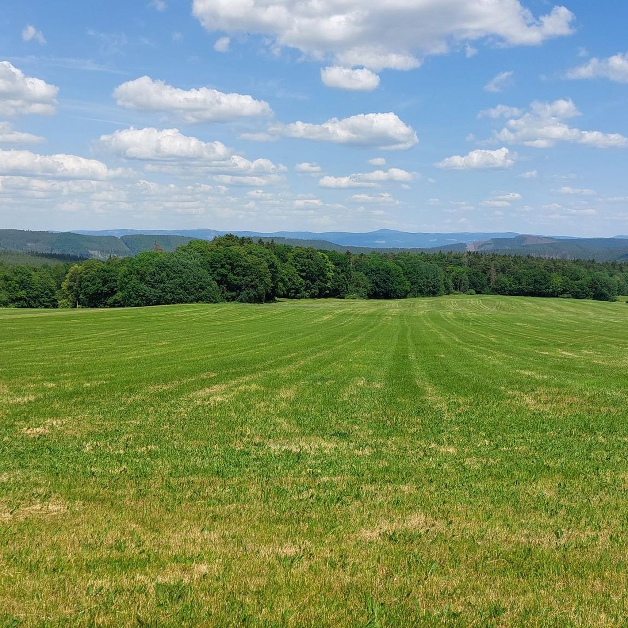
Touring cycling routes around Weilar are set within the scenic landscapes of the Thuringian Rhön, bordering the Thuringian Forest. The region features picturesque hills, idyllic river valleys, and expansive meadows, providing varied terrain for cyclists. It offers access to the extensive cycling networks of the Wartburgkreis region, the Rhön Biosphere Reserve, and the Werra Valley. The topography includes rolling hills, dense forests, and river valleys, with connections to well-established cycle paths.
Best touring cycling routes around Weilar
- The most popular…
Last updated: September 24, 2026
4.7
(25)
100
riders
36.3km
02:27
350m
350m
Hard bike ride. Good fitness required. You may need to push your bike for some segments of this route.
4.7
(28)
110
riders
31.8km
01:52
150m
150m
Easy bike ride. Great for any fitness level. Mostly paved surfaces. Suitable for all skill levels.

4.7
(26)
92
riders
26.4km
01:31
140m
140m
Easy bike ride. Great for any fitness level. Mostly paved surfaces. Suitable for all skill levels.
5.0
(10)
43
riders
73.1km
04:42
670m
670m
Hard bike ride. Very good fitness required. Mostly paved surfaces. Suitable for all skill levels.
4.1
(15)
44
riders
25.7km
01:40
350m
350m
Moderate bike ride. Good fitness required. Mostly paved surfaces. Suitable for all skill levels.
Get access to more routes and recommendations from other explorers.
Already have an account?
Our route recommendations are based on thousands of hikes, rides, and runs completed by other people on komoot.
Start today with a free account
Your next adventure awaits.
Tips from the Community

The old train station in Dermbach is closed, but there is a bus station here with charging facilities for e-bikes.
0
0
Beautiful cycle path on the old railway line
0
0


Always beautiful and full of memories...
0
0

A small but really nice old town.
0
0

Beautiful historic town center, worth a detour.
0
0
It's worth a stop! Information boards on both sides of the bridge tell the rich history of both towns. A detour to the historic town center is definitely worthwhile. I especially recommend a visit to the small castle and a climb to the tower (€1). From there, you'll enjoy a fantastic view of the surrounding area and the bridge.
0
0

The Werra Bridge Vacha, also known as the Bridge of Unity since 1990, is a 225-meter-long stone arch bridge from the Middle Ages that connects Vacha in Thuringia with Philippsthal in Hesse, spanning the Werra River. During the division of Germany, the bridge lay directly on the inner-German border, making it a symbol of German reunification after 1990.
0
0
Frequently Asked Questions
How many touring cycling routes are available around Weilar?
There are over 400 touring cycling routes around Weilar, offering a wide variety of options for cyclists of all skill levels. This includes over 100 easy routes, nearly 160 moderate routes, and over 150 challenging routes.
Are there any easy touring cycling routes suitable for beginners or families?
Yes, Weilar offers over 100 easy touring cycling routes. A great option for a gentle ride is the Old Weiler-Urnhausen Station – Himmelsleiter Cycle Path loop from Stadtlengsfeld, which is 10.8 miles (17.5 km) long and connects to the Himmelsleiter Cycle Path, providing a pleasant experience through the local landscape.
What kind of landscapes can I expect to see on touring cycling routes near Weilar?
The region around Weilar is characterized by picturesque hills, idyllic river valleys, and expansive meadows. You'll cycle through the scenic Thuringian Rhön and along the edge of the Thuringian Forest, experiencing diverse natural environments.
Are there any circular touring cycling routes in the Weilar area?
Yes, many routes around Weilar are designed as loops, allowing you to start and end in the same location. For example, the Menzengraben Potash Mine – View of Vacha loop from Stadtlengsfeld offers a moderate 19.9-mile (32.1 km) circular path with scenic views.
What are some notable attractions or points of interest along the cycling routes?
Along the routes, you can explore various natural and historical sites. Highlights include the Öchsenberg Summit and Celtic Cross, the tranquil Bernshäuser Kutte lake, and the historic Roßdorfer Gate. For panoramic views, consider visiting the Pleß Tower.
What is the best time of year for touring cycling in Weilar?
The region is particularly beautiful for cycling during spring and summer when the landscape is in full bloom. The mild weather and vibrant scenery make it an ideal time to explore the well-connected cycle paths and river valleys.
Are there any longer or more challenging touring cycling routes for experienced cyclists?
Absolutely. Weilar offers over 150 difficult routes for those seeking a challenge. A notable option is the Historic centre of Fladungen – Felda Rail Trail loop from Stadtlengsfeld, a 45.4-mile (73.1 km) trail that follows a former railway line through the Felda river valley.
What do other touring cyclists say about the routes in Weilar?
The routes in Weilar are highly rated by the komoot community, with an average score of 4.6 stars from over 2500 reviews. More than 11,000 touring cyclists have used komoot to explore Weilar's varied terrain, often praising the picturesque hills and well-maintained paths.
Are there connections to major regional cycle paths from Weilar?
Yes, Weilar is well-connected to significant regional cycling routes. You can access the Rosatal Cycle Path, which links the Werratal cycle path, and the Feldatal Cycle Path, which winds through the scenic river valley of the Felda in the Thuringian Rhön.
Can I find routes that offer a mix of natural beauty and historical or industrial heritage?
Yes, some routes combine natural scenery with glimpses of the region's history. The Menzengraben Potash Mine – Werra Cycle Route loop from Stadtlengsfeld, for instance, passes by the Menzengraben Potash Mine while connecting to the scenic Werra Cycle Route.
Are there routes that explore the Thuringian Forest area?
While Weilar is on the edge of the Thuringian Forest, many routes offer views and connections to this natural area. The Martinrodaer Hut – Himmelsleiter Cycle Path loop from Dermbach provides a moderate ride with elevation changes, taking you closer to the forest's characteristics.
Most popular attractions around Weilar

Get inspired with the komoot mobile app


Explore more
Browse the best Cycling routes in other regions.
