The best walks and hikes around Weilar
4.6
(4059)
13,299
hikers
635
hikes
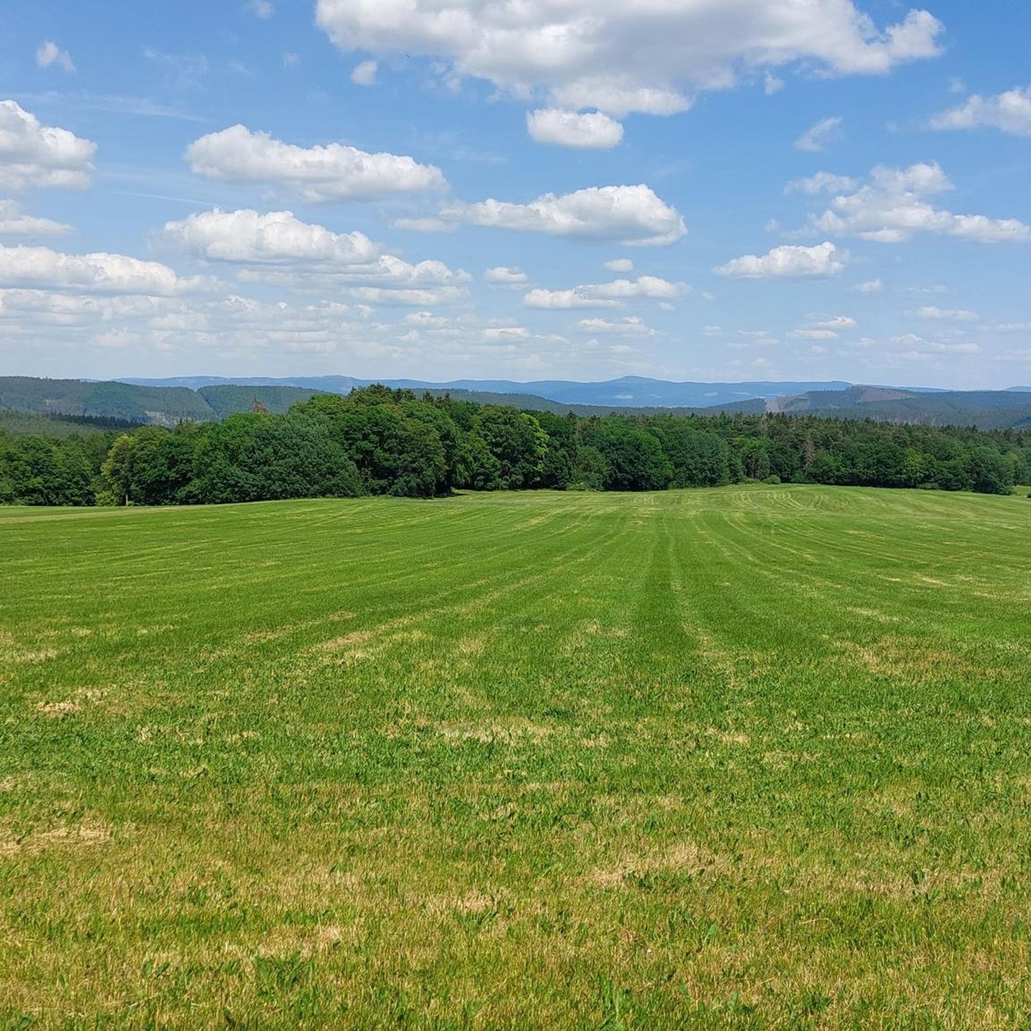
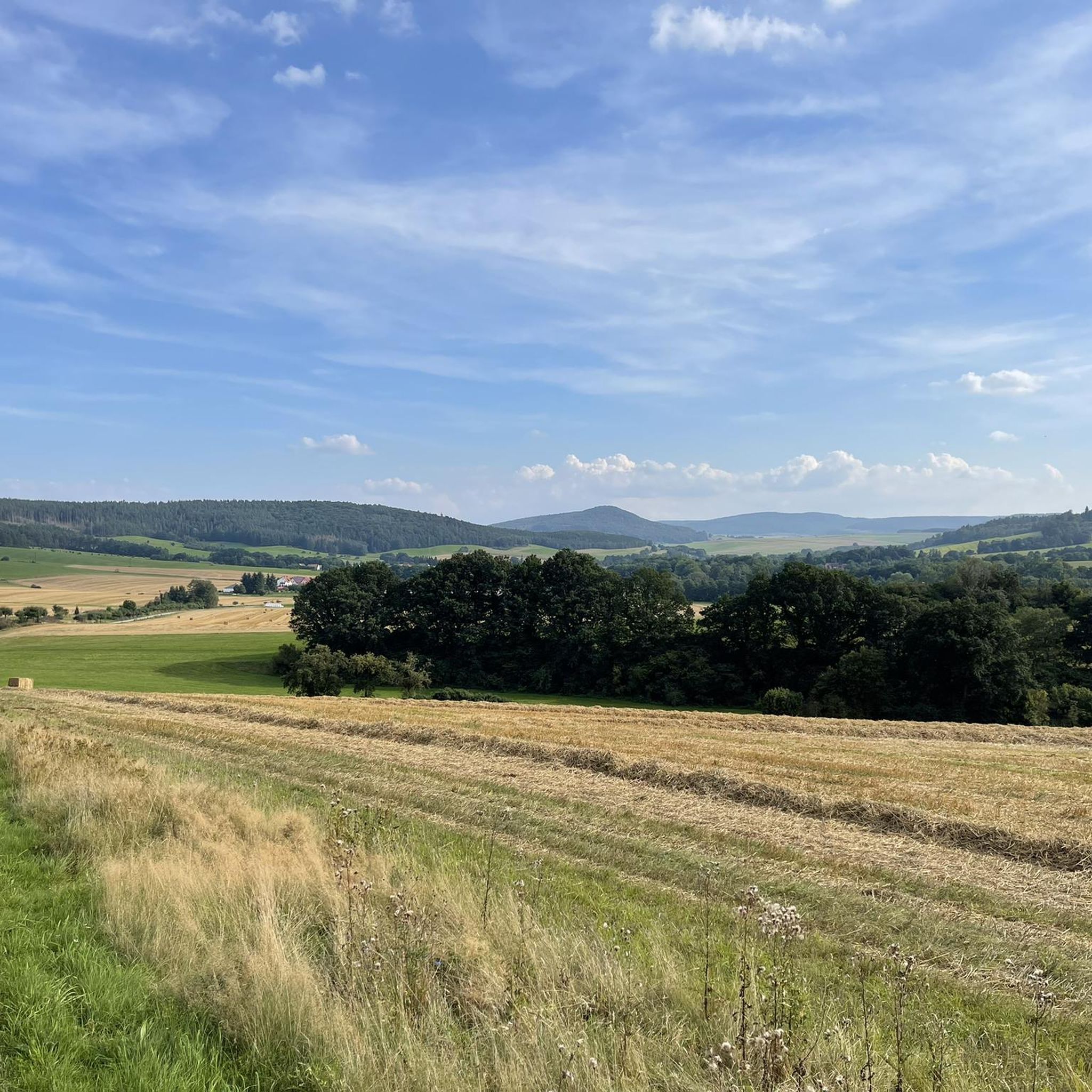
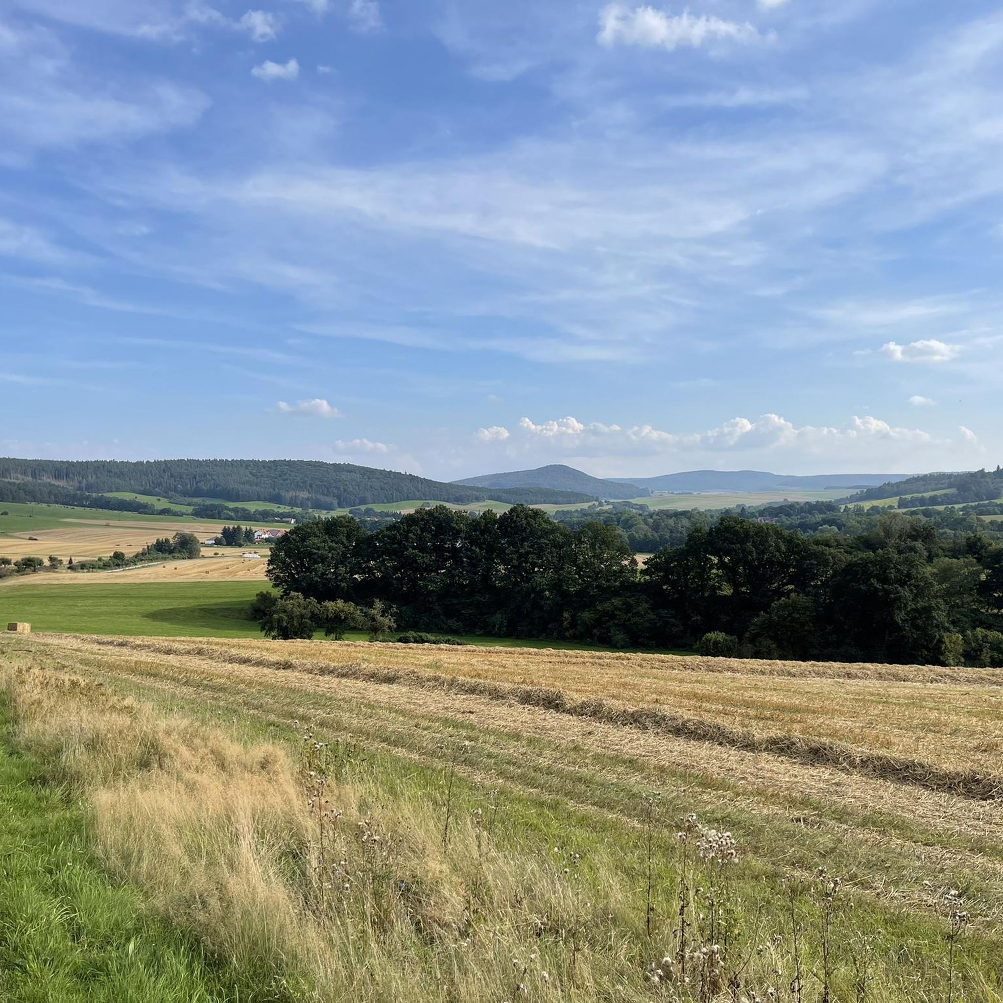
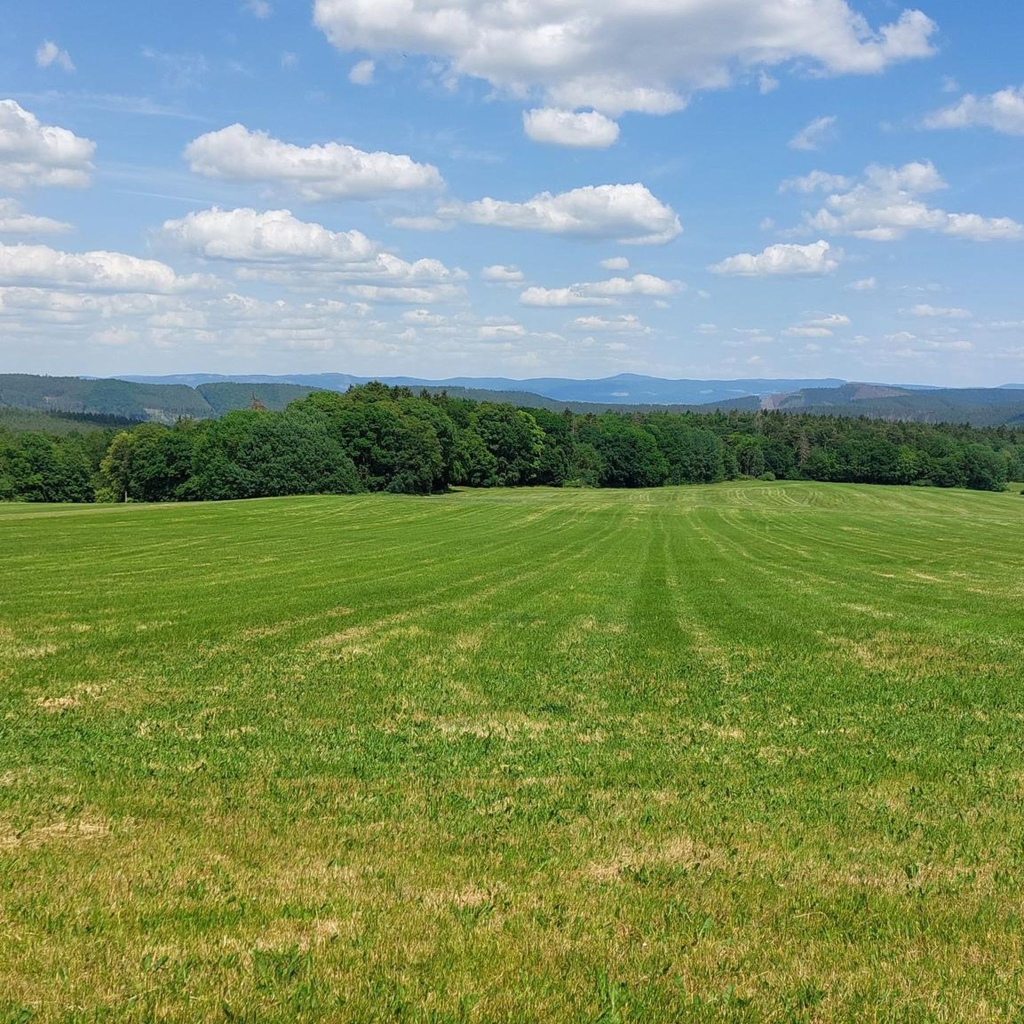
Hiking trails around Weilar traverse a landscape characterized by rolling hills and forested areas, offering varied terrain for outdoor activities. The region features a network of paths that wind through valleys and past natural features, providing opportunities for different hiking experiences. These routes often include sections through woodlands and open countryside, suitable for exploring the local environment.
Best hiking trails around Weilar
- The most popular hiking route is Felda River Trail – Lengsfeld Castle loop from Stadtlengsfeld, a 4.5…
Last updated: October 7, 2026
4.6
(47)
163
hikers
Easy hike. Great for any fitness level. Easily-accessible paths. Suitable for all skill levels.
4.4
(52)
161
hikers
7.07km
01:49
30m
30m
Easy hike. Great for any fitness level. Easily-accessible paths. Suitable for all skill levels.

4.7
(46)
129
hikers
22.7km
06:38
610m
610m
Hard hike. Very good fitness required. Easily-accessible paths. Suitable for all skill levels.
4.6
(31)
104
hikers
Easy hike. Great for any fitness level. Easily-accessible paths. Suitable for all skill levels.
4.2
(15)
90
hikers
3.17km
00:49
10m
10m
Easy hike. Great for any fitness level. Easily-accessible paths. Suitable for all skill levels.
Get access to more routes and recommendations from other explorers.
Already have an account?
Our route recommendations are based on thousands of hikes, rides, and runs completed by other people on komoot.
Start today with a free account
Your next adventure awaits.
Tips from the Community

Here you can stamp your route and take a break to enjoy the view. 😎
2
0

Always great views of the mountain "Bayer"
0
0
Along the Felda there are always beautiful places to linger
0
0
Old railway bridge over the Felda
0
0

A beautiful place surrounded by beautiful nature.
2
0

Hike along the Hohe Röhn Trail (4)
0
0

Rest area with beautiful view, touring stamp point
1
0

For the Ibengarten = Eibengarten see e.g. https://de.wikipedia.org/wiki/Ibengarten
2
0
Frequently Asked Questions
How many hiking trails are available around Weilar?
Weilar offers a wide selection of hiking opportunities, with over 630 routes available. These trails cater to various preferences, from leisurely strolls to more demanding excursions.
What kind of terrain can I expect when hiking in Weilar?
The landscape around Weilar is characterized by gently rolling hills, expansive valleys, and lush mixed forests. You'll find a network of paths winding through woodlands, open countryside, and river valleys like the Felda River, providing diverse scenery and varied terrain for exploration.
What do other hikers say about the trails in Weilar?
The hiking trails in Weilar are highly regarded by the komoot community, holding an impressive average rating of 4.6 stars from over 3,200 reviews. Hikers often praise the varied terrain, the natural immersion provided by unpaved paths, and the scenic beauty of the region.
Are there options for easy hikes in Weilar?
Yes, Weilar has numerous easy hiking options. Over 320 of the available routes are classified as easy, making them suitable for casual walkers or those looking for a relaxed outdoor experience. An example is the Picnic area with a view of the Baier – Lengsfeld Castle loop from Stadtlengsfeld, which is an easy 4.5-mile path offering scenic views.
Are there challenging hikes for experienced hikers in Weilar?
For those seeking a more demanding adventure, Weilar also offers challenging routes. There are 27 difficult trails available. A notable example is the Ancient Yew in Ibengarten – View of Wiesenthal loop from Urnshausen, a 14.4-mile trail that leads through varied terrain and typically takes over 6 hours to complete.
Are there any circular hiking routes in Weilar?
Yes, many of the trails in Weilar are designed as circular routes, allowing you to start and end your hike at the same point. The Felda River Trail – Lengsfeld Castle loop from Stadtlengsfeld is a popular circular option, following the Felda River and passing by Lengsfeld Castle.
What are some natural attractions or landmarks to see while hiking in Weilar?
While hiking around Weilar, you can discover several natural attractions and landmarks. Highlights include the Öchsenberg Summit and Celtic Cross, offering panoramic views, and the serene Bernshäuser Kutte lake. The Hexenpfad Fischbach also provides an interesting trail experience.
Are there any historical sites or cultural points of interest along the trails?
Yes, the region around Weilar blends natural beauty with historical significance. You can encounter historical sites such as the Roßdorfer Gate. Many routes also pass by significant structures like Lengsfeld Castle, offering glimpses into the area's past.
Can I bring my dog on the hiking trails in Weilar?
Many trails in Weilar are suitable for hiking with dogs, allowing you to enjoy the natural surroundings together. However, it's always recommended to check specific trail regulations or local signage, especially in nature reserves, and to keep your dog on a leash where required.
Are there family-friendly hiking options in Weilar?
Weilar offers several family-friendly hiking options, particularly among its easy and moderate routes. These trails often feature gentle elevation changes and pleasant scenery, making them enjoyable for all ages. Look for shorter loops or paths that pass by interesting natural features.
What is the best time of year to go hiking in Weilar?
The region's diverse landscapes, including forests and river valleys, make it appealing for hiking throughout much of the year. Spring and autumn offer pleasant temperatures and beautiful foliage, while summer provides longer daylight hours. Even in winter, some trails can be enjoyed, though conditions may vary.
Are there places to stop for refreshments or a meal along the hiking routes?
Yes, you can find places to stop for refreshments or a meal. The area features various huts and facilities, such as the Rest area on the Felda River along the Feldatal Cycle Path, the Humpfershäuser Hut, and the Oechsenberg Hut, which can provide a welcome break during your hike.
Most popular attractions around Weilar

Get inspired with the komoot mobile app


Explore more
Browse the best Hikes in other regions.
