The best MTB trails around Wasserliesch
4.6
(943)
2,905
riders
14
rides
Mountain bike trails around Wasserliesch are set within the scenic Moselle River valley, characterized by diverse landscapes. The region features rolling hills and extensive forests, such as the Herresthal Forest, providing varied terrain for mountain biking. Its location near the confluence of the Saar and Moselle rivers offers additional riverside paths. This combination of natural features creates a compelling environment for outdoor activities with significant elevation changes.
Best mountain bike trails around Wasserliesch
- The most popular mountain bike trail is…
Last updated: October 4, 2026
4.6
(57)
194
riders
Moderate mountain bike ride. Good fitness required. Advanced riding skills necessary.
4.7
(20)
48
riders
37.0km
02:50
510m
510m
Moderate mountain bike ride. Good fitness required. Suitable for all skill levels.

4.6
(8)
28
riders
33.3km
02:02
260m
260m
Moderate mountain bike ride. Good fitness required. Suitable for all skill levels.
5.0
(7)
18
riders
21.9km
01:17
180m
180m
Easy mountain bike ride. Great for any fitness level. Suitable for all skill levels.
5.0
(2)
14
riders
Moderate mountain bike ride. Good fitness required. Advanced riding skills necessary.
Get access to more routes and recommendations from other explorers.
Already have an account?
Our route recommendations are based on thousands of hikes, rides, and runs completed by other people on komoot.
Start today with a free account
Your next adventure awaits.
Popular around Wasserliesch
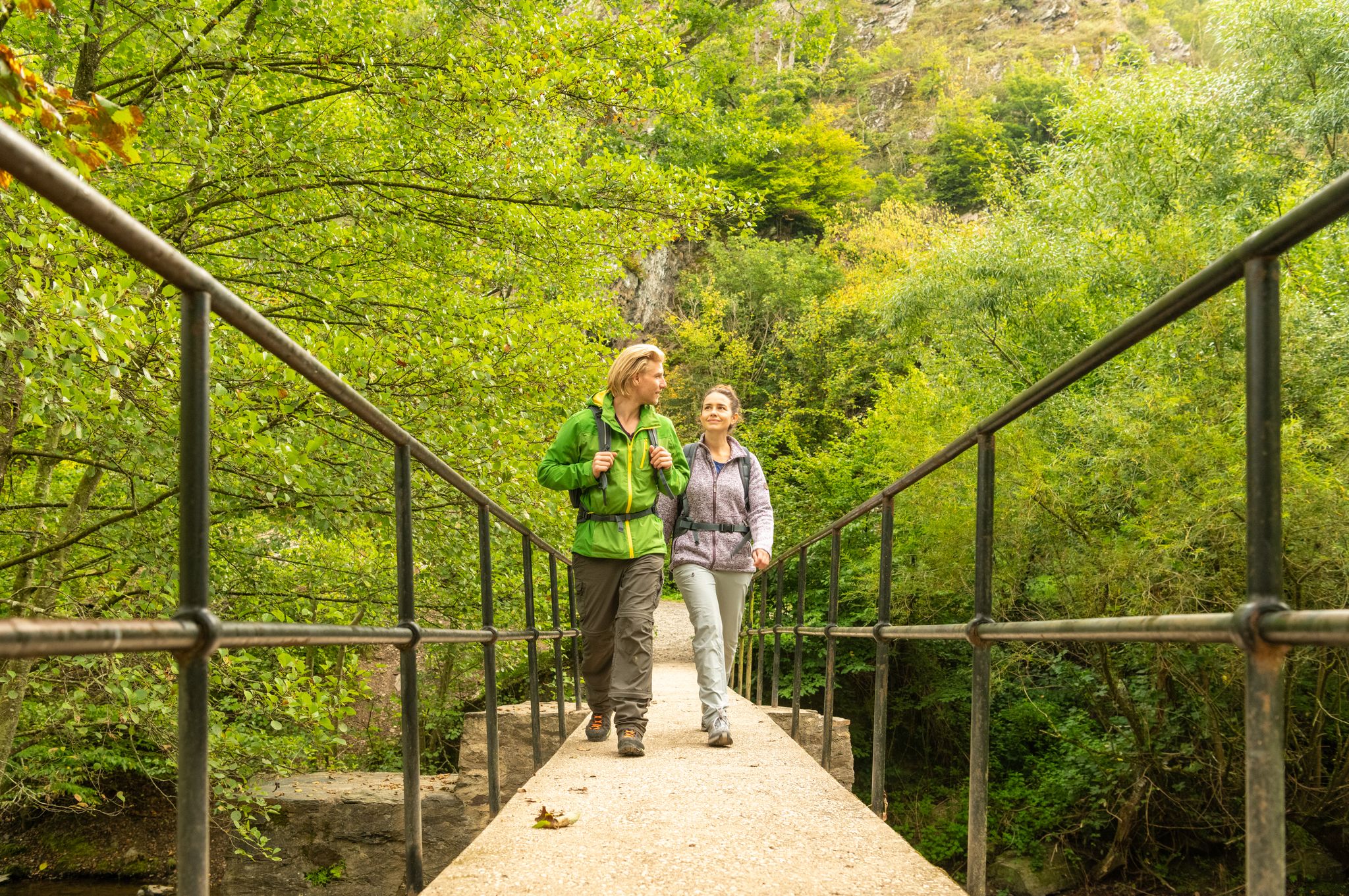
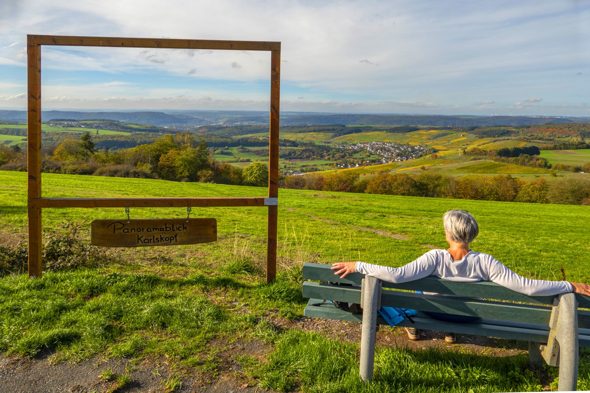
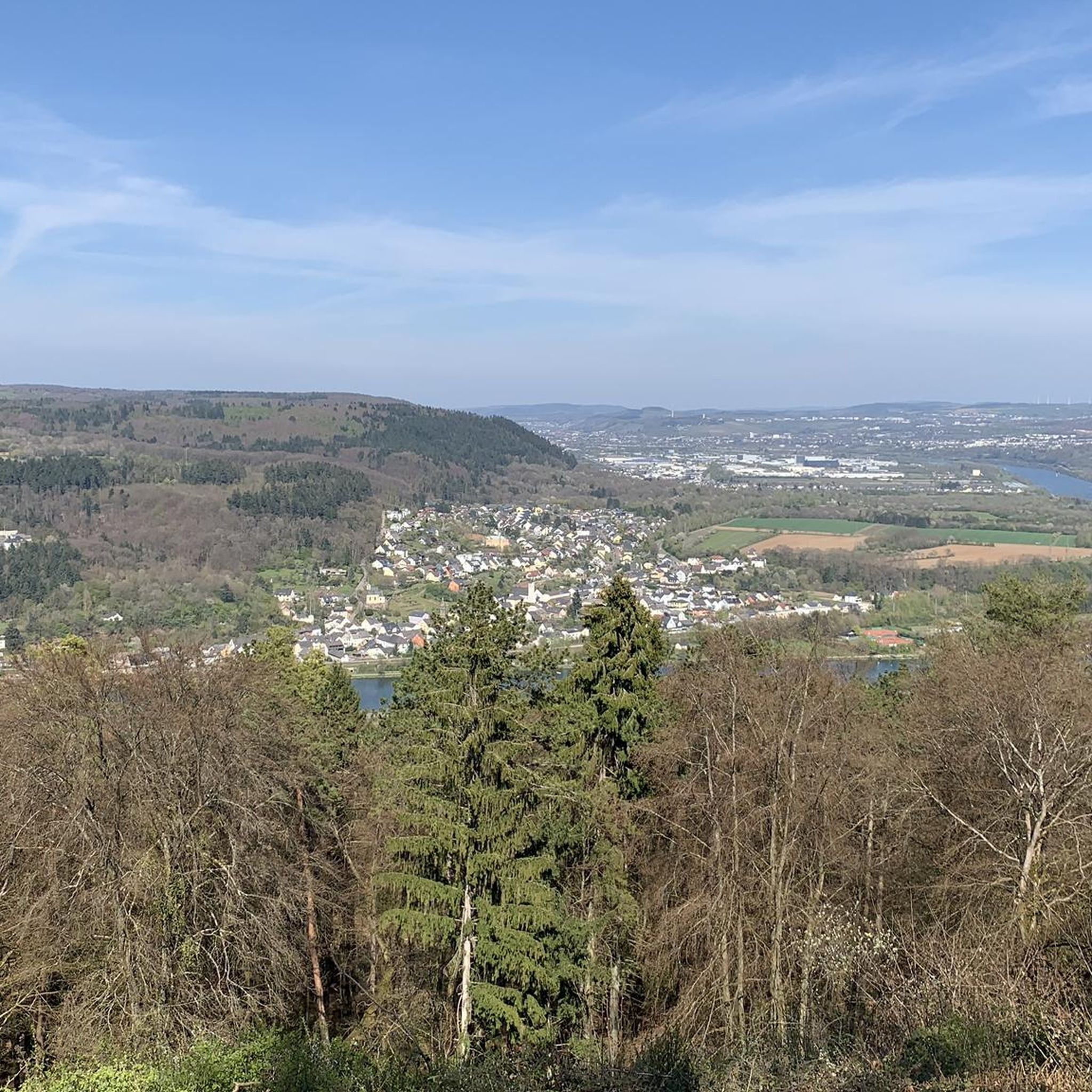
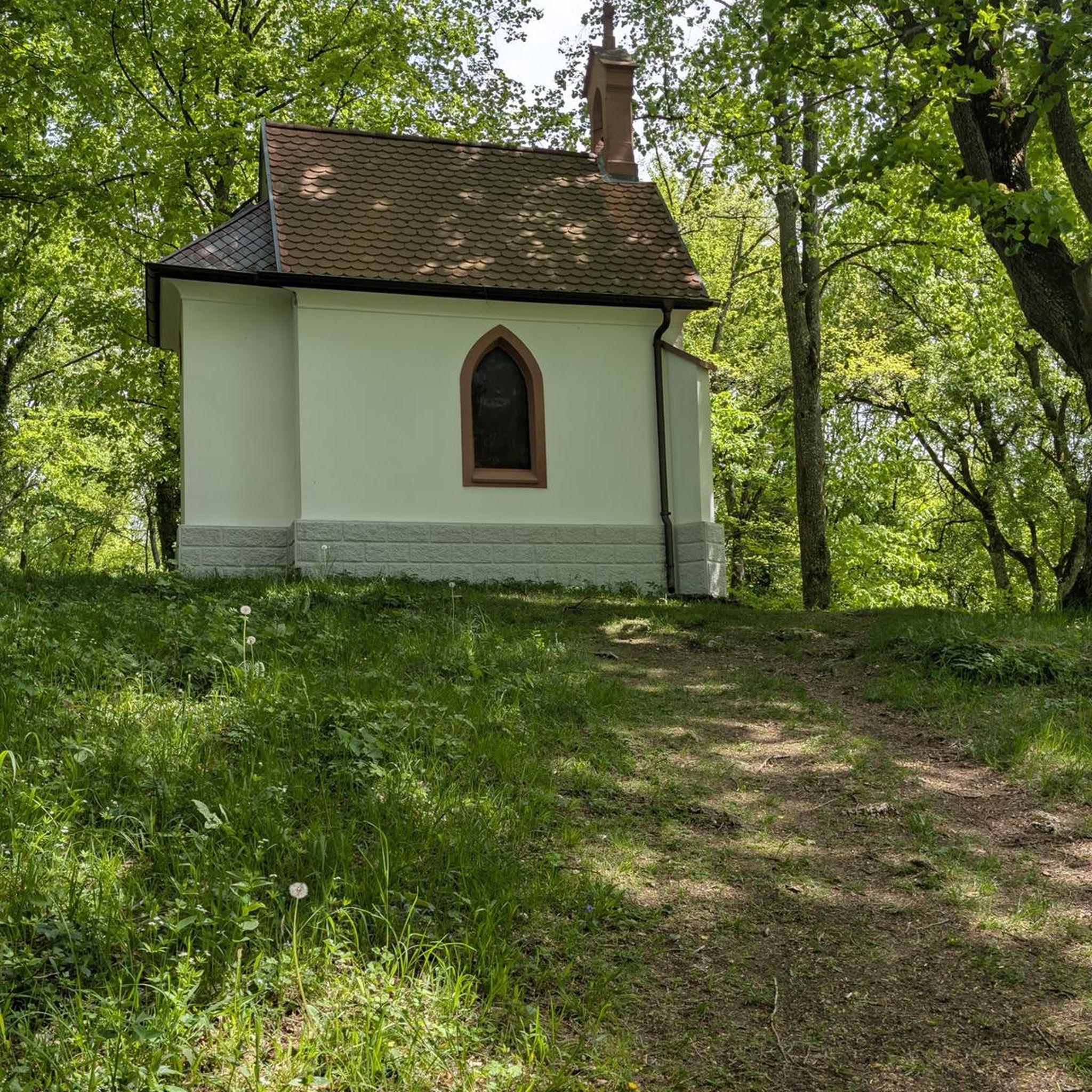
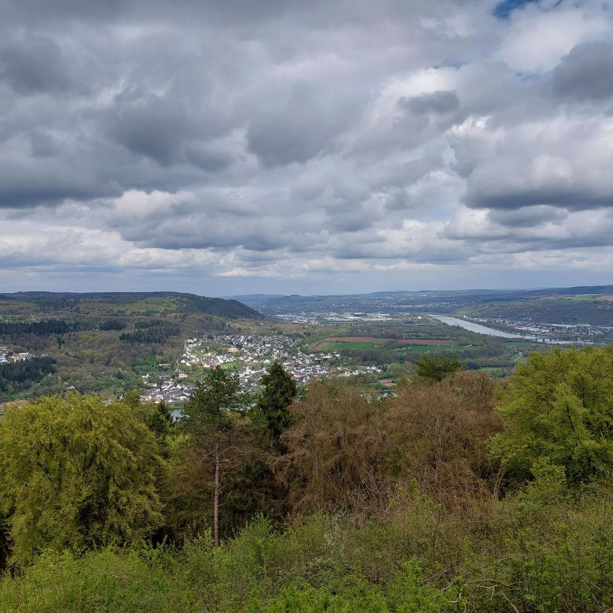


Tips from the Community

This Benedictine Abbey was built in the Lorraine style from 1727 to 1736. The facade length of the abbey, built in the shape of a regular quadrilateral, is 75 meters, with a cloister and an inner courtyard. The designer is the Benedictine architect Leopold Durand from the Abbey of St. Avold, and it was built by the Austrian master builder family Mungenast. In 1797 the abbey was dissolved, and since 1899 the Gymnasium has been housed in these buildings. (Echternach Tourist Office)
5
0


Use the stairs to the right of the tower to ascend. Pull the door hard, sometimes it is difficult to open.
0
0

Beautiful view, climbing according to the sign is only for members of the Alpine Club.
0
0
A visit is worthwhile even in "bad" weather, it is then somewhat mystical due to its location in the forest
1
0


There is a lot to discover
1
0

Great view over the Moselle above the Igel climbing garden - also worth a hike.
3
0
Frequently Asked Questions
How many mountain bike trails are available around Wasserliesch?
There are over 10 mountain bike trails around Wasserliesch, offering a variety of experiences. These routes are highly rated by the komoot community, with an average score of 4.7 stars from over 750 reviews.
Are there easy mountain bike trails suitable for beginners or families in Wasserliesch?
Yes, Wasserliesch offers several easy mountain bike trails. For instance, the Confluence of the Sauer at Oberbillig – Oberbillig–Wasserbillig Ferry loop from Wasserliesch is an easier 8.5-mile (13.7 km) trail leading through the Moselle River valley, suitable for all fitness levels. Another easy option is the Village Square of Wasserliesch – View of Tawern loop from Wasserliesch.
What kind of terrain can I expect on mountain bike trails in Wasserliesch?
The mountain bike trails in Wasserliesch are characterized by the scenic Moselle River valley, dense forests like the Herresthal Forest, and rolling hills. You'll find varied terrain, from riverside paths to more challenging moderate climbs and singletrack sections.
Are the mountain bike routes in Wasserliesch typically circular?
Yes, many of the mountain bike routes around Wasserliesch are designed as loops, often starting directly from the municipality. This makes planning your ride convenient as you typically finish where you started.
What are some longer, more challenging mountain bike trails in the area?
For those seeking a more challenging ride, the Green Tunnel Path – Igel Climbing Wall Platform loop from Wasserliesch is a moderate 22.7-mile (36.5 km) trail with over 500 meters of elevation gain. Another demanding option is the Roman Temple District Tawern – Singletrack Trail Near Kümmern loop from Wasserliesch, a 23.9-mile (38.5 km) path featuring singletrack sections that require good fitness and advanced riding skills.
What can I see or explore near the mountain bike trails in Wasserliesch?
While mountain biking, you can explore several interesting sights. The region is known for the picturesque Confluence of the Saar and Moselle rivers. You can also find historical sites in nearby Trier, such as the Trier Main Market and the Trier Cathedral.
Are there any waterfalls accessible by mountain bike near Wasserliesch?
Yes, the charming town of Saarburg, a short distance from Wasserliesch, features the impressive Saarburg Waterfall (Leukbach Falls). You can also find the Sirzenich Waterfall in the broader region.
What is the typical duration for mountain bike trails in Wasserliesch?
Trail durations vary significantly based on length and difficulty. Easier routes like the Confluence of the Sauer at Oberbillig – Oberbillig–Wasserbillig Ferry loop can be completed in under an hour, while moderate trails such as the Green Tunnel Path – Igel Climbing Wall Platform loop typically take around 2 hours 48 minutes.
What do other mountain bikers enjoy most about the trails in Wasserliesch?
The komoot community highly rates the mountain bike trails in Wasserliesch, with an average score of 4.7 stars. Riders often praise the diverse landscapes, including the Moselle River valley and extensive forests, as well as the variety of trails catering to different skill levels.
Are there scenic viewpoints along the mountain bike trails?
Absolutely. Many trails offer stunning views, particularly those in the Moselle River valley and the rolling hills. For example, the View of Luxembourg – St. Aper Church Wasserliesch loop from Wasserliesch provides scenic vistas, and the View of Saarburg and Saarburg Castle is another notable highlight in the vicinity.
Is there a moderate mountain bike trail that offers views towards Tawern?
Yes, the Village Square of Wasserliesch – View of Tawern loop from Wasserliesch is a moderate 17 km trail that provides views towards Tawern, offering a pleasant ride through the local landscape.
Most popular routes around Wasserliesch
Most popular attractions around Wasserliesch

Get inspired with the komoot mobile app


Explore more
Browse the best MTB trails in other regions.
