The best traffic-free bike rides around Wasserliesch
4.5
(90)
616
riders
39
rides
No traffic gravel bike trails around Wasserliesch traverse a diverse landscape at the confluence of the Saar and Moselle rivers. The region features wide river basins, extensive vineyards, and lush forests, providing varied terrain for gravel bikers. Geological formations, including colored sandstone and Muschelkalk layers, contribute to varied surfaces suitable for off-road cycling. Natural reserves like Perfeist and Albachtal offer opportunities for nature observation along the routes.
Best no traffic gravel bike trails around Wasserliesch
- The most popular no traffic…
Last updated: November 11, 2026
5.0
(1)
49
riders
121km
08:21
1,790m
1,790m
Hard gravel ride. Very good fitness required. You may need to push your bike for some segments of this route.
14
riders
39.9km
02:38
660m
660m
Hard gravel ride. Very good fitness required. Mostly paved surfaces.

4.4
(5)
16
riders
43.6km
02:55
750m
750m
Hard gravel ride. Very good fitness required. Mostly paved surfaces.
15
riders
37.0km
02:33
550m
550m
Hard gravel ride. Very good fitness required. You may need to push your bike for some segments of this route.
4.0
(2)
8
riders
15.4km
01:07
280m
280m
Moderate gravel ride. Good fitness required. Mostly paved surfaces.
Get access to more routes and recommendations from other explorers.
Already have an account?
Our route recommendations are based on thousands of hikes, rides, and runs completed by other people on komoot.
Start today with a free account
Your next adventure awaits.



Tips from the Community

Zwei Tafeln der Gemeinde Betzdorf informieren hier über die Syr. Der Steckbrief nennt die Quelle bei Syren, die Mündung in die Mosel bei Mertert und „34,1 km" Länge (andere Quellen sprechen von 30 bis 33 km). „D'Liewen an der Syr" zeigt eine Nahrungskette, Eisvogel und Graureiher sowie Fische wie Bachforelle, Äsche, Döbel, Groppe und Aal.
0
0

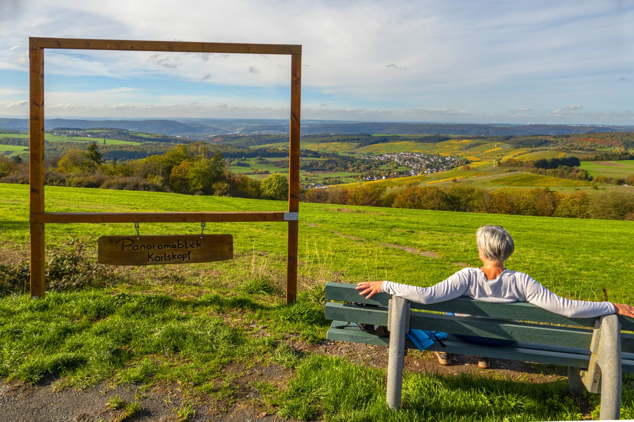
beautiful view into the Syretal
0
0
short break in Betzdorf
0
0
beautiful nature and great bike path
0
0

well-maintained cycle path to the center
0
0

Take the train after a bike tour to Saar Louis via the Saarschleife.
0
0

Knee pads are very practical and it is simply beautiful.
0
0

It's always nice to see the Roman bridge.
0
0
Frequently Asked Questions
How many traffic-free gravel bike trails are available around Wasserliesch?
Komoot offers a wide selection of traffic-free gravel bike trails around Wasserliesch, with over 35 routes to explore. These routes vary in difficulty, ensuring there's something for every skill level.
What kind of terrain can I expect on traffic-free gravel routes in Wasserliesch?
The traffic-free gravel routes in Wasserliesch offer a diverse range of terrain. You'll find paths traversing serene river valleys, winding through dense woodlands, and alongside picturesque vineyards. The region's unique geological formations, including colored sandstone and Muschelkalk layers, contribute to varied and engaging surfaces, perfect for gravel biking.
Are there any scenic viewpoints along the traffic-free gravel trails?
Absolutely! Many traffic-free gravel routes in the Wasserliesch area lead to breathtaking viewpoints. You can enjoy stunning vistas such as the View of Saarburg and Saarburg Castle, or the impressive Confluence of the Saar and Moselle rivers. These spots offer perfect opportunities for a break and some memorable photos.
Can I see any natural features or landmarks while gravel biking without traffic?
Yes, the region is rich in natural beauty. You can encounter features like the Sirzenich Waterfall or the tranquil Old arm of the Saar near Kanzem. The trails also often pass through natural reserves known for their rich flora, offering a chance for nature observation.
What is the best time of year for gravel biking in Wasserliesch to avoid traffic?
While the guide focuses on routes designed to be traffic-free, the spring and autumn months generally offer the most pleasant weather for gravel biking in Wasserliesch. The vineyards are vibrant, and the forests display beautiful colors, enhancing the scenic experience. Summer can also be great, especially on shaded forest paths.
Are there family-friendly traffic-free gravel routes in Wasserliesch?
Many of the unpaved field and forest paths are suitable for families, offering a safe and enjoyable experience away from cars. While specific 'easy' routes are not highlighted in this selection, several moderate routes like the Pfahl Pond – Menniger Bildhjen Chapel loop from St. Matthias could be considered for families with some biking experience, given its moderate difficulty.
Are there any historical or cultural sights accessible from these routes?
Beyond natural beauty, many routes pass by cultural and historical landmarks. You might encounter sights like the Löschemer Chapel or the Grana Monument. Additionally, nearby Trier offers significant historical sites such as the Trier Main Market, Trier Cathedral (Cathedral of St. Peter), and the Church of Our Lady, which can be integrated into longer rides.
Is parking available for gravel bikers near these traffic-free trails?
Yes, parking is generally available in Wasserliesch and surrounding villages, often near trailheads or public areas. It's advisable to check specific starting points for designated parking facilities before your ride.
Can I reach these trails using public transport?
Wasserliesch is accessible by public transport, making it possible to reach many trail starting points without a car. Regional train and bus services connect Wasserliesch to larger towns like Trier, from where you can often find connections close to the trail networks. Always check current schedules and bike transport policies.
What do other gravel bikers enjoy the most about gravel biking in Wasserliesch?
The area is highly rated by the komoot community, with an average score of 4.55 stars. Reviewers often praise the region's diverse landscapes, the quiet and well-maintained unpaved paths through vineyards and forests, and the stunning panoramic views, especially at the confluence of the Saar and Moselle rivers. The ability to enjoy nature away from traffic is a frequently mentioned highlight.
Are there any long-distance traffic-free gravel routes for experienced riders?
For experienced riders seeking longer, traffic-free adventures, routes like the Old arm of the Saar – View of the Saar River loop from Schoden-Ockfen offer a significant challenge with over 120 km and considerable elevation gain. Another option is the Ruwer Cycle Path – Schillinger Lake loop from Trier-Euren, which provides a long, scenic ride through varied terrain.
Are there any circular traffic-free gravel routes?
Yes, many of the gravel routes around Wasserliesch are designed as loops, allowing you to start and end at the same point without retracing your steps. Examples include the Wooden Bridge Over the Stream – View of the Valley loop from Mertert or the View of the Römerbrücke – Imperial Baths, Trier loop from Trier-Euren, which offer varied distances and sights.
Most popular routes around Wasserliesch
Most popular attractions around Wasserliesch

Get inspired with the komoot mobile app


Explore more
Browse the best Gravel rides in other regions.
