The best walks and hikes around High Peak
4.6
(22706)
142,205
hikers
1,658
hikes
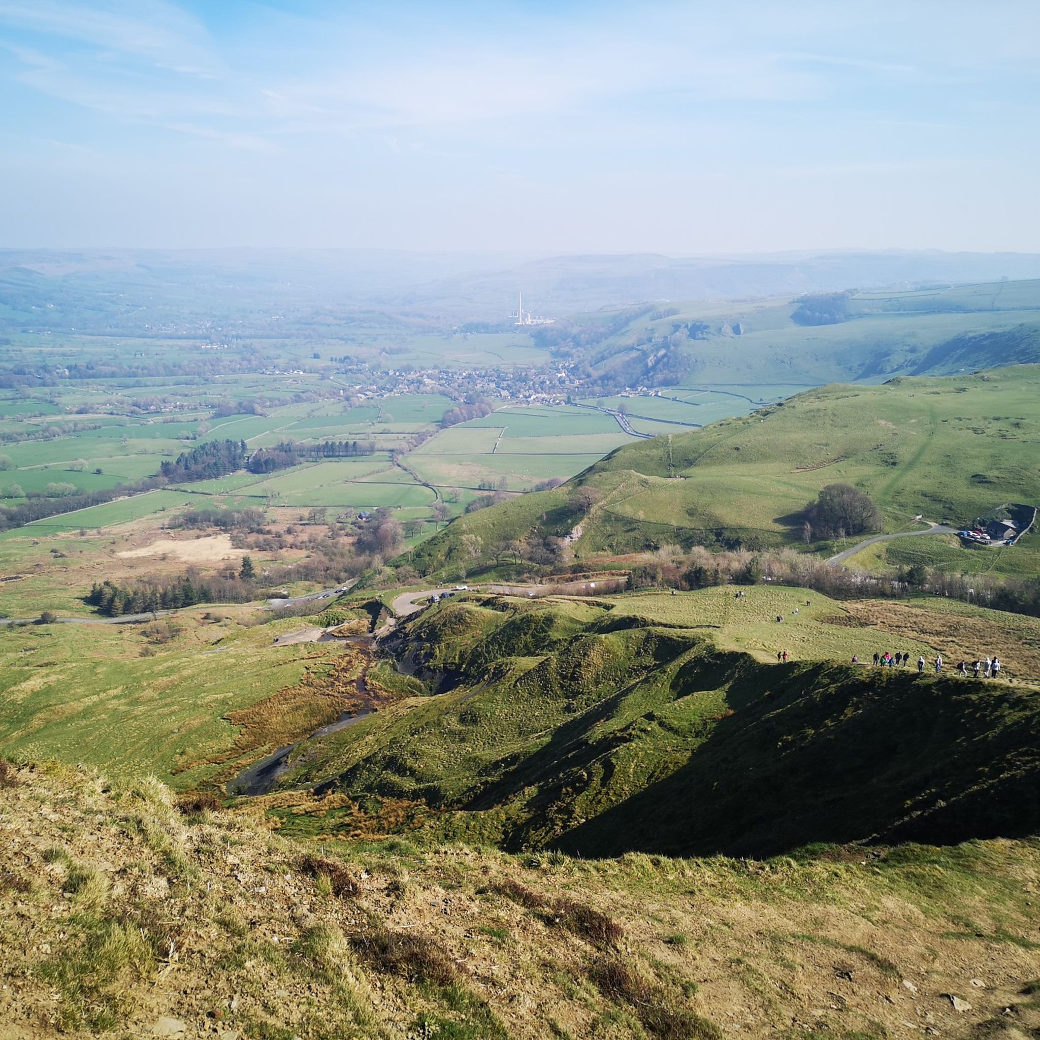
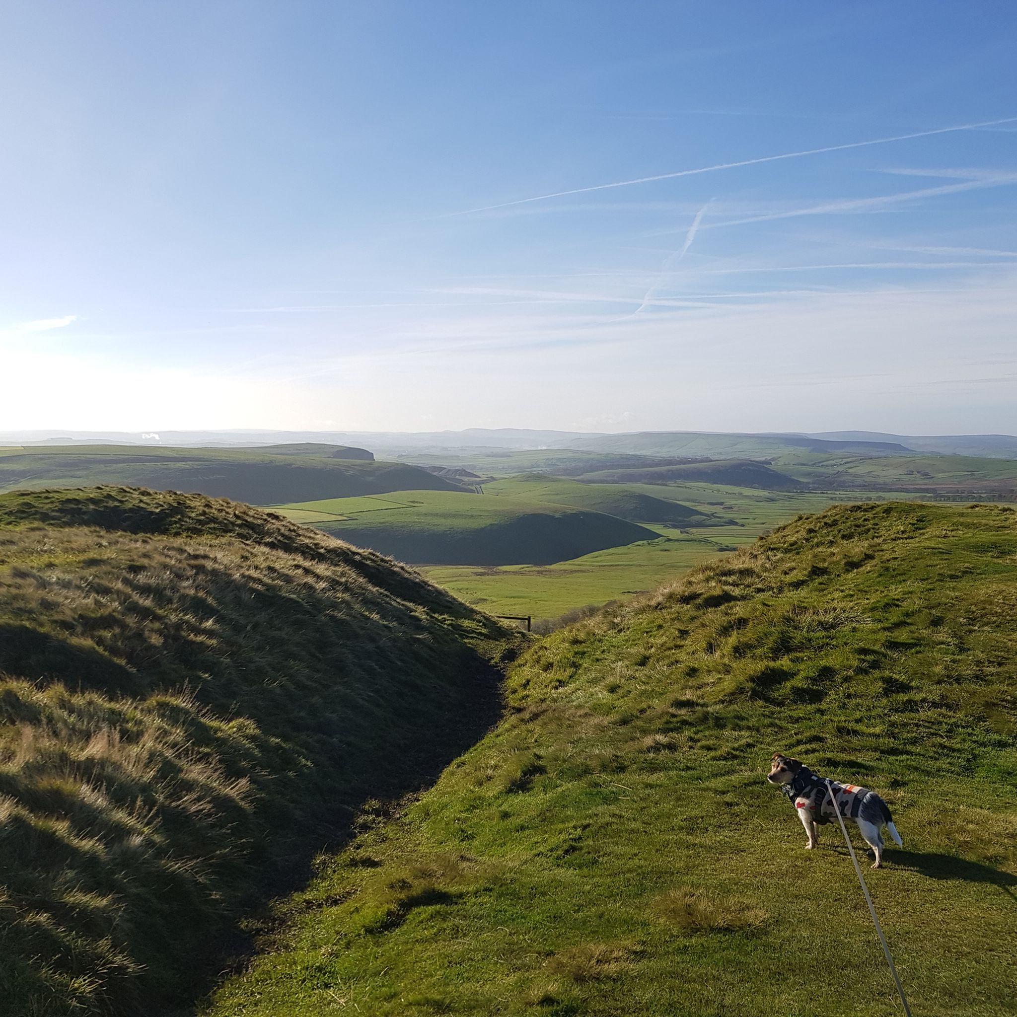
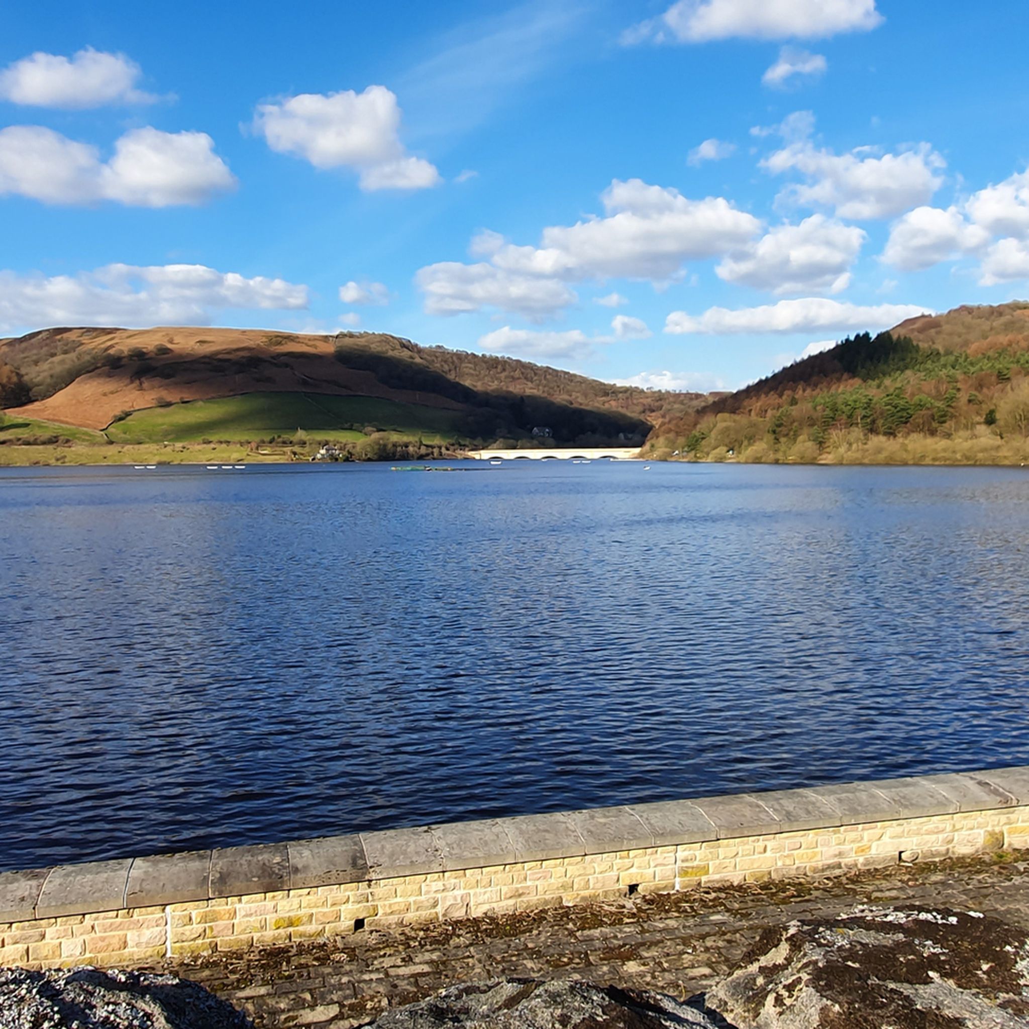
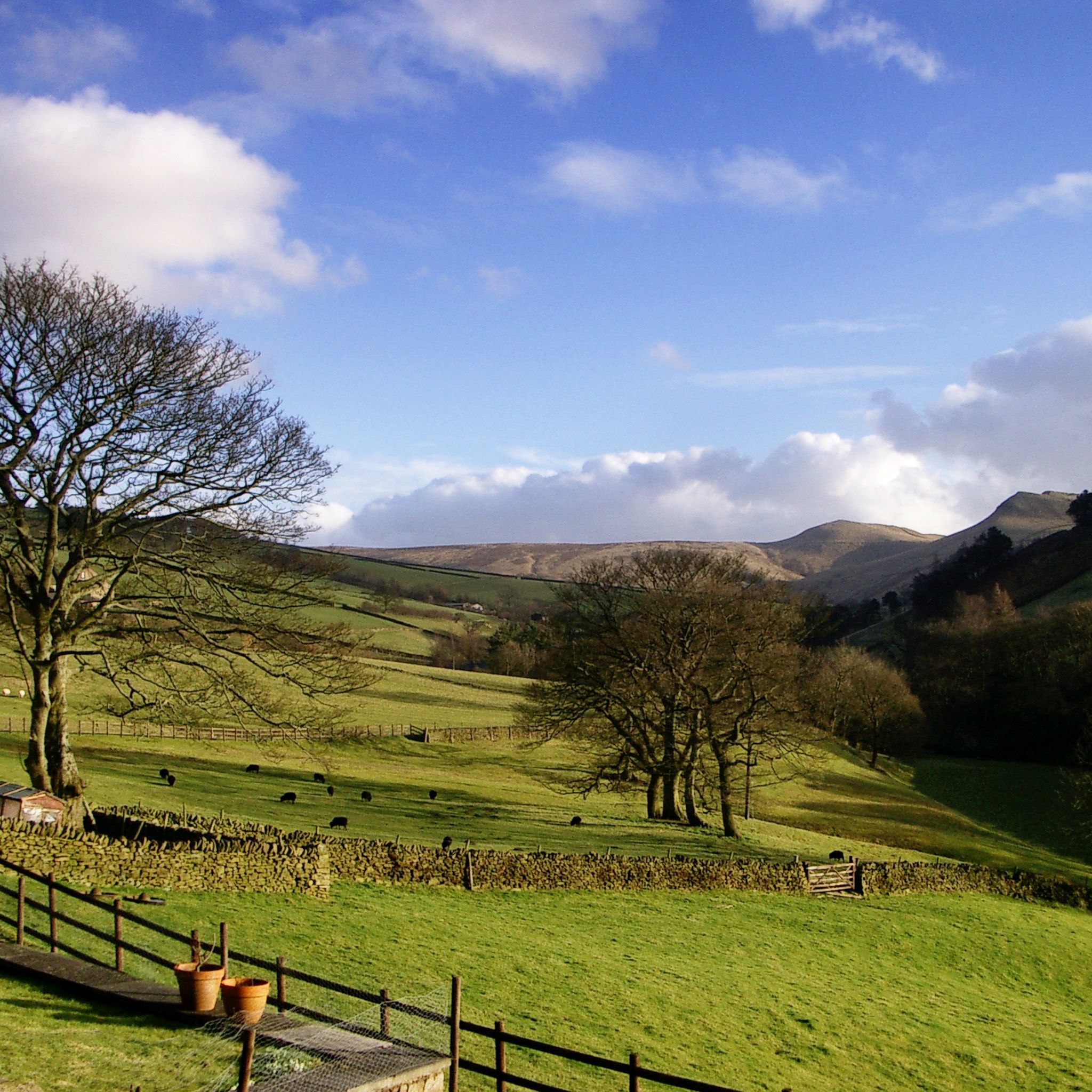
Hikes around High Peak traverse a landscape of rolling hills, rugged moorlands, and deep valleys. The region is characterized by its gritstone escarpments and expansive plateaus, such as Kinder Scout, the highest point in the Peak District. The network of trails includes routes along reservoirs like Ladybower and Derwent, as well as paths that follow former railway lines.
Best hiking trails around High Peak
- The most popular hiking route is Kinder Scout loop from Edale — Peak District National Park, a 8.9 mile (14.4 km) trail that takes about 4 hours 23 minutes to complete. This route involves an ascent to the Kinder Scout moorland plateau.
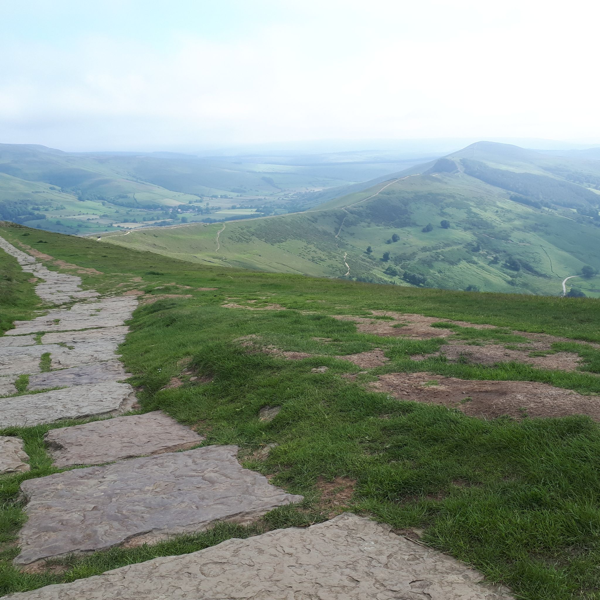
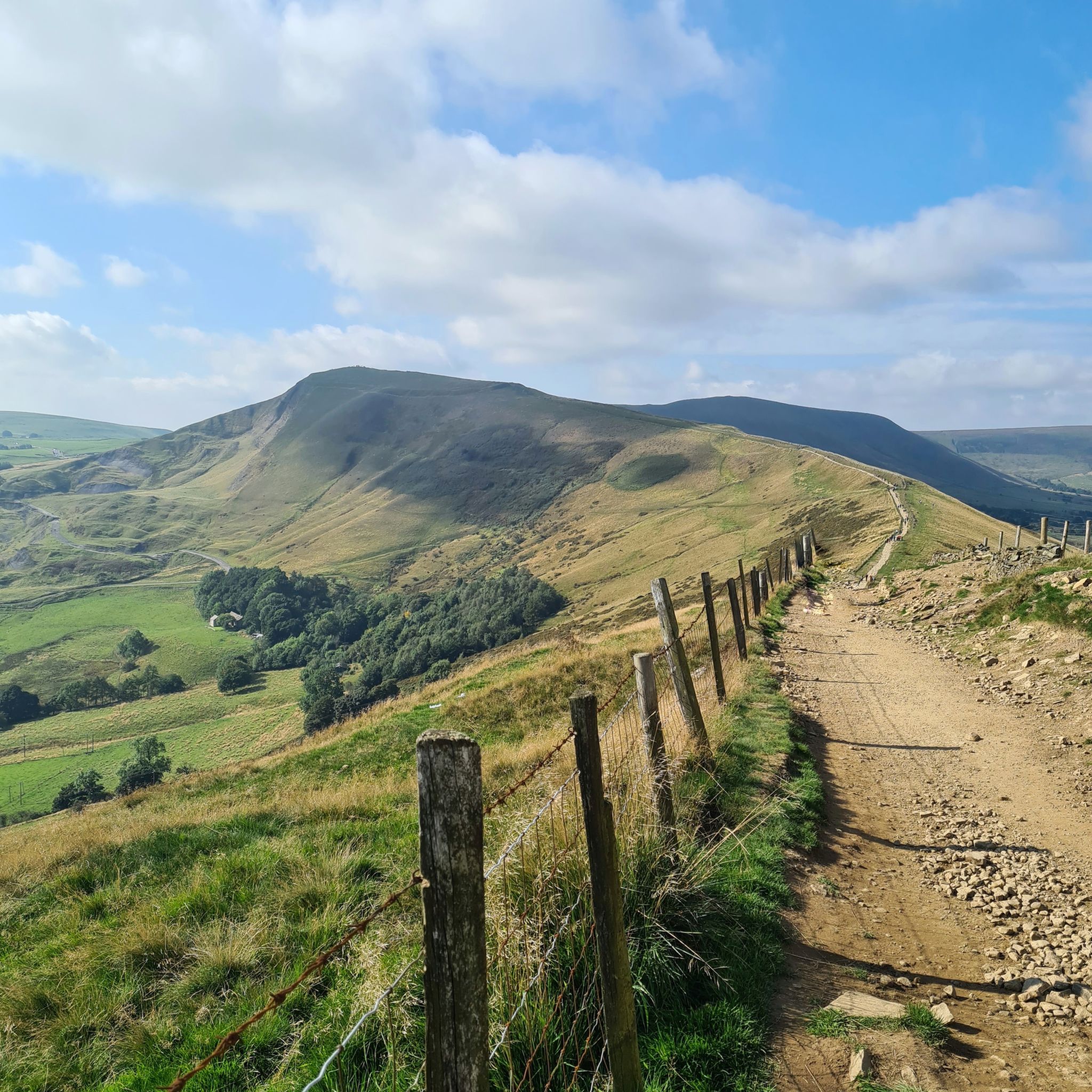
- Another top favourite among local hiking enthusiasts is Mam Tor & Lose Hill loop from Hope — Peak District National Park, a moderate 8.3 mile (13.3 km) path. The trail follows the Great Ridge, providing views over the Hope and Edale Valleys.
- Local hiking enthusiasts also love the Mam Tor, Lose Hill & Hope loop from Castleton — Peak District National Park, a 8.3 mile (13.3 km) trail leading through the Hope Valley, often completed in about 3 hours 57 minutes.
- Hiking around High Peak is defined by its moorland plateaus, gritstone ridges, and large reservoirs. The extensive trail network offers options for various ability levels, from gentle waterside walks to challenging ascents.
- The routes in High Peak are highly rated by the komoot community with an average score of 4.6 stars from over 17,500 reviews. More than 116,000 hikers have used komoot to explore High Peak's varied terrain.
Last updated: September 26, 2026
4.8
(1142)
5,300
hikers
14.4km
04:24
510m
510m
Embark on the Kinder Scout Circular Walk, a moderate hiking route that takes you across varied terrain in the Peak District. You will cover 8.9 miles (14.4 km) and gain 1683 feet (513 metres) in elevation, typically completing the journey in about 4 hours and 23 minutes. As you hike, you will experience expansive moorland and rugged gritstone plateaus, with impressive rock formations like the Wool Packs adding to the dramatic scenery. On clear days, the views from the Kinder Low Trig Point stretch far across the landscape, offering a rewarding perspective of the Vale of Edale.
When planning your visit, be aware that conditions on the plateau can be challenging, often boggy with paths that are not always clear. Sturdy walking boots and waterproof clothing are essential, as the weather on Kinder Scout can change quickly and you will be very exposed. For navigation, it is wise to carry a map and compass or a reliable GPS device, as the route can be tricky to follow in places.
This circular route is a classic Peak District experience, known for its wild beauty and historical significance. Kinder Scout is the highest point in the Peak District and played a crucial role in the access to mountains movement. The diverse landscape, from ancient clough woodland to the vast open moorland, makes it a notable destination for those seeking a true taste of the national park's rugged charm.
4.8
(771)
3,091
hikers
13.3km
03:57
410m
410m
Embark on the Mam Tor and the Great Ridge Circular, a moderate hiking route that showcases some of the Peak District's most iconic landscapes. As you traverse the Great Ridge, you will experience continuous panoramic views, with the sweeping vistas of Hope Valley and Edale Valley stretching out before you, extending towards Kinder Scout and the Derwent Moors. This 8.3-mile (13.3 km) journey involves an elevation gain of 1340 feet (408 metres) and typically takes around 3 hours and 57 minutes to complete, offering a rewarding experience for hikers.
When planning your visit, be aware that this trail is popular, especially during peak times. While the paths are generally well-marked, checking local conditions before you go is always a good idea. Parking is available in nearby villages such as Castleton, which also provide amenities like pubs and shops for a post-hike refreshment. Consider starting your hike earlier in the day to avoid crowds and ensure easier parking.
The route features varied terrain, including well-maintained sections along the ridge, rocky parts, and grassy areas. A unique feature you will encounter is the

4.8
(690)
2,947
hikers
Embark on a rewarding hike through the Peak District National Park with the Mam Tor, Lose Hill & Hope loop from Castleton. This moderate route covers 8.3 miles (13.3 km) with an elevation gain of 1336 feet (407 metres), typically taking around 3 hours and 57 minutes to complete. You will experience varied terrain, from well-paved paths to steeper, rocky sections, especially on the descent from Back Tor, as you traverse the iconic Great Ridge connecting Mam Tor and Lose Hill.
Starting from the charming village of Castleton, this trail is very popular, particularly on weekends. An early start is recommended if you prefer a quieter experience. Always check the weather forecast before you go, as conditions on the ridge can be cold and windy even when Castleton is sheltered, so sturdy shoes and appropriate gear are essential for your comfort and safety.
The trail offers expansive views of the Hope and Edale Valleys, with Mam Tor, known as the "Shivering Mountain," providing panoramic vistas that can reach Manchester on clear days. Lose Hill offers equally impressive views, often with fewer crowds. You will also see natural landmarks like Winnats Pass and Peak Cavern, and may even spot paragliders near Mam Tor's summit on windy days, adding to the scenic experience.
4.8
(496)
2,794
hikers
Embark on a challenging hike through the dramatic landscapes of the Peak District with the Kinder Reservoir, Kinder Downfall & Kinder Low loop from Bowden Bridge. This moderate route covers 8.5 miles (13.7 km) and involves a significant 1431 feet (436 metres) of elevation gain, typically taking around 4 hours and 8 minutes to complete. You will encounter diverse terrain, from steep ascents and rough tracks to the tranquil waters of Kinder Reservoir and the striking gritstone formations that dot the expansive purple heather moors.
Prepare for a demanding hike that requires a good level of fitness, especially given the varied and often rugged terrain. Sections around William Clough may involve stream crossings, and the path along Kinder Reservoir can be wet underfoot. The Kinder Plateau, particularly between Kinder Low and Kinder Downfall, is known for being boggy and peaty, so you might find the experience more enjoyable in dry weather or when the ground is frozen. Starting from Bowden Bridge, this loop is best suited for experienced walkers.
This trail offers more than just scenic views; it is steeped in history and natural wonder. You will reach Kinder Downfall, the highest waterfall in the Peak District, which transforms from a powerful cascade after rain to a more subtle trickle. From Kinder Low, marked by a trig point, you can enjoy panoramic views across the moorland plateau of Kinder Scout, often extending to Yorkshire, Cheshire, and even Wales on clear days. Portions of the route also follow the famous Pennine Way and pass through areas associated with the pivotal 1932 Kinder Scout Mass Trespass.
4.8
(371)
3,012
hikers
13.0km
03:23
90m
100m
Embark on a moderate hike around the Ladybower & Derwent Dam loop, a scenic journey through the Peak District National Park. This route spans 8.0 miles (13.0 km) with an elevation gain of 308 feet (94 metres), typically taking around 3 hours and 23 minutes to complete. You will experience varied terrain, from well-surfaced paths around the reservoirs to natural, unpaved sections that can be rougher, especially after forestry work. Enjoy expansive views of the impressive Derwent Dam, the unique Y-shaped Ladybower Reservoir, and the Ashopton Viaduct, all set against a backdrop of moorland, forests, and rolling hills.
Planning your visit is straightforward, as the area is very popular and accessible. While some shorter routes are pram-friendly, this specific moderate loop requires good fitness due to its length and varied paths. The trail is well-maintained, making it suitable for a wide range of hikers. You can find parking facilities near the reservoirs, which serve as convenient starting points for your adventure. Always check local conditions before you go, especially regarding weather and any potential forestry operations that might affect path surfaces.
This trail is particularly notable for its rich history and engineering marvels. The Derwent Dam gained fame as a practice site for the RAF's
4.9
(364)
2,300
hikers
13.1km
04:00
440m
440m
Embark on a moderate 8.2-mile (13.1 km) hike around Mam Tor and Lose Hill from Castleton, a journey that typically takes you about 3 hours and 59 minutes to complete. This circular route features a varied landscape, including flagstoned paths, grassy ascents, and some rocky sections, with an elevation gain of 1459 feet (445 metres). You will experience consistently panoramic views as you walk along the Great Ridge, connecting the two summits and separating the Hope and Edale Valleys. Mam Tor, often called the "Shivering Mountain," stands as a prominent landmark along the way.
This popular loop starts and finishes in the charming village of Castleton, which offers various amenities like pubs, cafes, and shops. While many parts of the trail are accessible, certain sections require sure-footedness, especially the descent from Back Tor. Be prepared for potentially cold and windy conditions along the exposed ridge, even when the valleys below are sheltered. The trail is a favorite for sunrise viewing, but this can mean more crowds, particularly on weekends.
The Mam Tor & Lose Hill loop is renowned for encompassing one of the UK's most beloved ridge walks, the Great Ridge. Mam Tor itself holds historical significance, featuring remnants of a late Bronze Age and early Iron Age hill fort at its summit. As you hike, you will pass iconic spots like Hollins Cross, a popular intersection of paths on the ridge. Castleton is also famous for its locally mined Blue John stone, adding another layer of interest to your visit.
4.9
(354)
2,176
hikers
13.0km
03:58
450m
450m
Embark on the Mam Tor, The Great Ridge & Castleton loop, a moderate 8.1-mile (13.0 km) hike in the Peak District National Park. This picturesque route, typically completed in about 3 hours and 58 minutes, features a total elevation gain of 1462 feet (446 metres) and offers diverse terrain. You will traverse well-maintained paths, including paved sections and stone steps, alongside natural unpaved and gravel stretches that can be muddy. From Mam Tor's summit, you are treated to expansive views over the Edale Valley, Hope Valley, and Kinder Scout, with the Great Ridge providing continuous panoramic vistas on both sides.
Castleton village serves as a charming starting and ending point for this popular hike. The trail attracts many visitors, especially on weekends and for sunrise views, so arriving early is often recommended to avoid crowds. In Castleton, you will find various amenities such as cafes and pubs, perfect for a stop before or after your adventure.
This trail is notable for its rich history and unique geological features. Mam Tor, also known as the "Shivering Mountain" due to its unstable shale and sandstone, holds remains of an ancient hill fort and Bronze Age burial barrows. The Great Ridge, a nearly 2-mile (3-kilometer) long connector between Mam Tor and Lose Hill, is a highlight. You can also explore the dramatic limestone gorge of Winnats Pass and visit attractions in Castleton like Peveril Castle or the Treak Cliff Cavern.
4.4
(307)
1,899
hikers
Embark on a moderate 9.9-mile (16.0 km) hike through the Peak District National Park, gaining 1602 feet (488 metres) of elevation over approximately 4 hours and 56 minutes. This loop from Edale offers a diverse experience, from the rocky ascent of Grindsbrook Clough, where you might need your hands in places, to the exposed moorland of the Kinder Scout plateau. You will encounter impressive gritstone formations and reach the Kinder Low trig point, which provides panoramic views over the Edale Valley and beyond on clear days.
To plan your visit, remember that this trail is considered moderate to challenging, requiring good fitness and sure-footedness. The exposed nature of the Kinder plateau means weather conditions can change rapidly, so be prepared for strong winds and varying visibility. Navigation can be tricky in poor conditions, making a map and compass essential. The route is not suitable for prams or wheelchairs due to its rugged terrain, including steep sections like Jacob's Ladder.
This loop is notable for several iconic features that define the Peak District landscape. You will experience Kinder Downfall, the highest waterfall in the area, known for its unique phenomenon of water being blown upwards in strong winds. The adventurous Grindsbrook Clough ascent and the historic Jacob's Ladder, part of the Pennine Way, add to the trail's character. Starting from the picturesque village of Edale, you can find amenities like pubs for refreshment before or after your hike.
4.8
(183)
1,396
hikers
32.8km
09:28
820m
820m
Embark on the challenging Edale Skyline loop from Hope, a difficult hiking route that spans 20.4 miles (32.8 km) and climbs 2698 feet (822 metres). This full-day adventure, estimated to take 9 hours and 27 minutes, offers a true test of endurance with varied terrain. You will traverse rocky paths and grassy slopes, experiencing the expansive views from the iconic Great Ridge and reaching the trig point at Win Hill summit, which provides a memorable visual landmark.
To prepare for this demanding hike, ensure you have a good level of fitness and wear sturdy walking boots, as you will encounter diverse and potentially boggy sections. The trailhead in Hope is easily accessible; you can arrive by public transport via the Hope train station. If you prefer to drive, parking is available in Hope village, where you can also find cafes for refreshments before or after your journey.
This route is widely regarded as one of the ultimate hiking challenges in the Peak District, known for its extensive panoramic views across the Edale Valley and the surrounding landscapes. As you progress, you will witness breathtaking vistas from various peaks, making it a highly rewarding experience for those seeking a significant outdoor achievement in the region.
4.8
(175)
1,296
hikers
The Edale Northern Skyline & Castleton loop from Hope is a difficult hike, spanning 19.3 miles (31.0 km) with an elevation gain of 2339 feet (713 metres), typically taking 8 hours and 51 minutes to complete. This route offers varied terrain and continuous panoramic views across the Peak District National Park. You will experience steep climbs and rocky paths, especially on the ascent to Mam Tor, which provides sweeping vistas over the Edale and Hope Valleys. The trail also takes you across the rugged landscapes of Kinder Scout, featuring the Kinder Low trig point and fascinating rock formations at places like Ringing Roger.
Planning your visit requires good fitness levels and suitable gear, including sturdy, well-fitting walking boots. While the loop is often started from the village of Hope, you can also access it from Edale or Castleton, offering flexibility for your adventure. Hope itself provides amenities like parking, cafes, and shops, making it a convenient starting point. Be prepared for varied conditions; some sections are well-marked, while others, particularly on Kinder Scout, can be less defined and involve peat bogs, requiring sure-footedness.
This route is considered a classic Peak District challenge, even serving as a well-known fell running race. It encompasses many of the region's most famous peaks and features, including Win Hill, Mam Tor, and the entire Great Ridge. You will encounter diverse landscapes, from picturesque villages to expansive moorland and dramatic rock formations. The trail also passes Hope Cross, an ancient monument marking the crossroads of old packhorse routes, adding a touch of history to your journey through this iconic national park.
Get access to more routes and recommendations from other explorers.
Already have an account?
Our route recommendations are based on thousands of hikes, rides, and runs completed by other people on komoot.
Start today with a free account
Your next adventure awaits.
Other adventures around High Peak


Tips from the Community

When going up Kinder Scout many believe that the trig point at Kinder Low is the summit, but it actually isn’t. The summit is some 3metres higher than Kinder Low and another 5-10mins off the beaten path. Prepare for some stomping through heather and bog. It is marked by a very low-key cairn, blink and you will miss it.
1
0

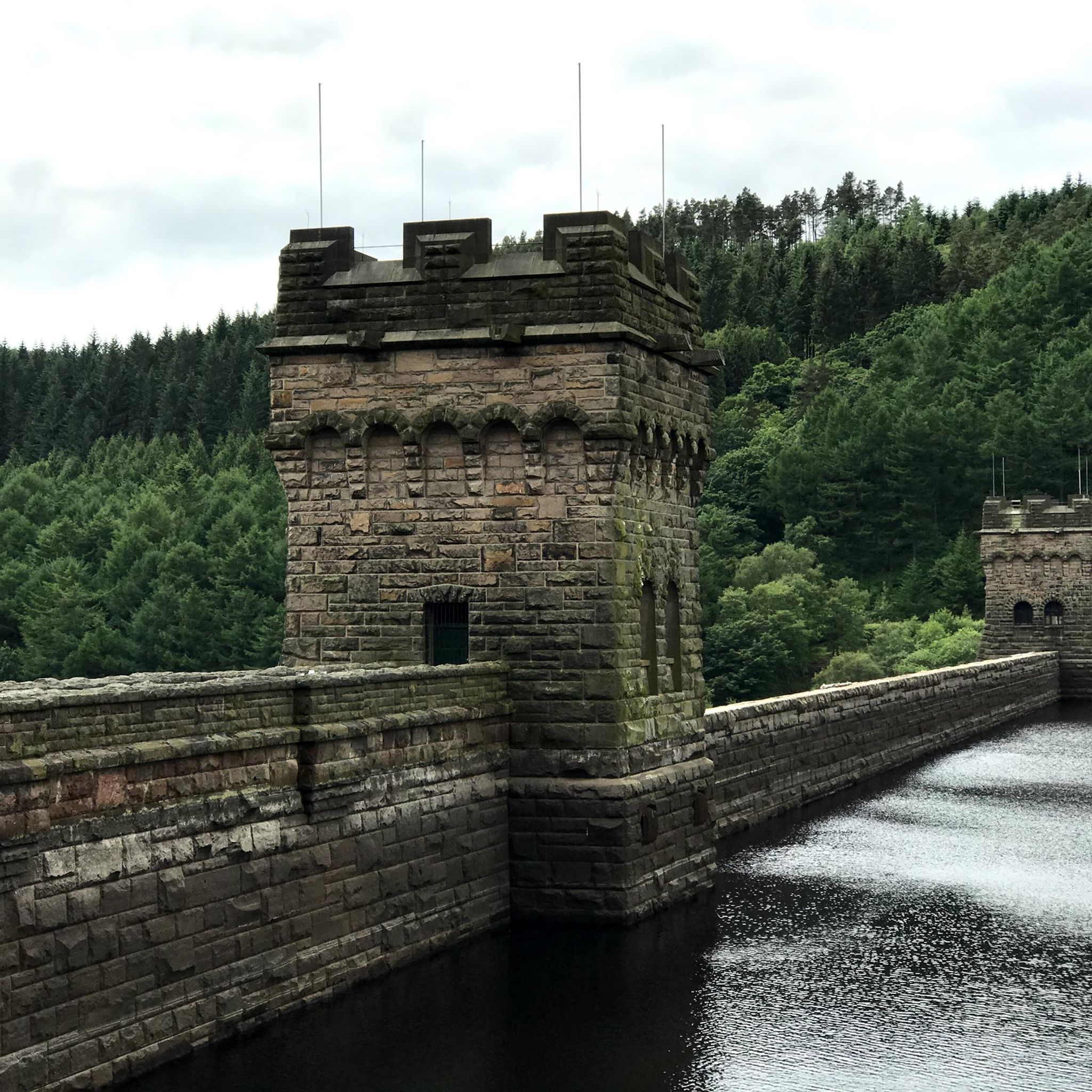
The overflow is a great photo motif!
0
0

It's impressive, especially when the water level is high and it overflows into these openings.
0
0
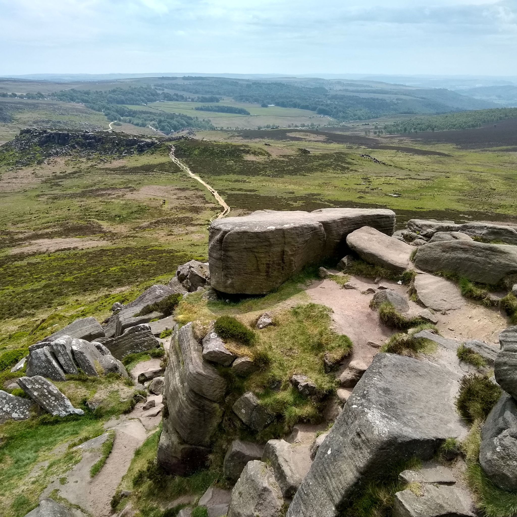
Possibly my favourite trig point. It’s always moody and bleak on this part of the moor. The bog around the trig was about waist high today (saw someone climb out!)
0
0


Interesting piece of history surrounding Mam Tor
0
0

Crowden Tower 618m P5.2 (2027ft) (Hill ID: 512895) [JNSA s1076] The Mountains of England & Wales summit. Peak District National Park Definitive List summit.
0
0

Great car park and clean toilets 👍
0
0
Frequently Asked Questions
What should I pack for a day hike in the High Peak?
For a day hike, you should bring waterproof clothing, as the weather can change quickly on the moors. Sturdy hiking boots are essential due to the often rocky and uneven terrain. Also, pack a map and compass or a fully charged phone with a GPS app, along with plenty of water and snacks.
Are the hiking trails in the High Peak dog-friendly?
Many trails in the High Peak are suitable for dogs, but they should be kept on a lead, especially between March and July during bird nesting season on the moorlands. Also, be aware of livestock grazing in fields. It's always best to check for any specific restrictions on your chosen route beforehand.
What are some good circular walks in the region?
The High Peak is well-known for its excellent circular routes. For a challenging day out with rewarding views, the Kinder Reservoir and Kinder Downfall loop is a fantastic option that takes you onto the famous plateau. It's a demanding but classic High Peak experience.
Are there any family-friendly hikes in the High Peak?
Yes, there are several options for families. The area around the Ladybower and Derwent Reservoirs offers gentle, relatively flat paths that are great for all ages. The scenery is beautiful, and the paths are well-maintained, making for a relaxed day out.
What is the best time of year to hike in the High Peak?
The best time to hike is from late spring to early autumn (May to September) when the weather is generally milder and the days are longer. The heather moorlands are particularly beautiful in late summer when they turn purple. Winter hiking is possible but requires experience and proper gear due to potentially harsh conditions.
Can I get to the trailheads using public transport?
Yes, several key hiking areas are accessible by public transport. The village of Edale, a popular starting point for Kinder Scout, has a train station with regular services from Sheffield and Manchester. Similarly, Hope and Castleton, gateways to Mam Tor, are well-served by buses, making it feasible to plan a hike without a car.
Are there any challenging hikes for experienced walkers?
For those seeking a significant challenge, the Edale Skyline loop is one of the toughest long-distance day hikes in the area. This strenuous route covers over 20 miles (32 km) and includes significant elevation gain, testing the endurance of even seasoned hikers.
Are there any trails with pubs along the way?
Many routes start or finish in villages with traditional pubs. For example, a hike around Castleton, like the Mam Tor and The Great Ridge loop, allows you to finish in the village where you'll find several welcoming pubs perfect for a post-hike meal and drink.
Where can I find hikes with waterfalls or interesting water features?
The region has some lovely spots with water features. A popular destination is Three Shires Head, where the counties of Derbyshire, Cheshire, and Staffordshire meet, featuring picturesque packhorse bridges and small waterfalls. Another unique walk is along the Chee Dale Stepping Stones, where the path crosses the River Wye through a limestone gorge.
What are some good shorter hikes, under 10 miles?
There are many excellent hikes under 10 miles. The Mam Tor & Lose Hill loop from Castleton is a classic ridge walk of about 8 miles (13 km) that offers some of the best views in the Peak District without being overly long.
What do other hikers enjoy most about the High Peak?
The area is highly rated by the komoot community. Reviewers frequently praise the dramatic landscapes, from the vast, wild moorlands of Kinder Scout to the stunning 360-degree views from the Great Ridge. The variety of trails, catering to all abilities, is also a consistently highlighted feature.
Are there any traffic-free trails for walking?
Yes, the High Peak Trail is a well-regarded route that follows the path of a former railway line. It offers miles of traffic-free walking through the scenic landscape, making it a safe and peaceful option for a day out. The nearby Monsal Trail is another popular choice with similar characteristics.
Most popular routes around High Peak
Most popular attractions around High Peak

Get inspired with the komoot mobile app


Didn’t find what you were looking for?
Check out more Hikes throughout High Peak below and find the perfect route in your destination.
Explore more
Browse the best Hikes in other regions.
