The best road cycling routes around Waldrohrbach
4.5
(400)
5,350
riders
203
rides
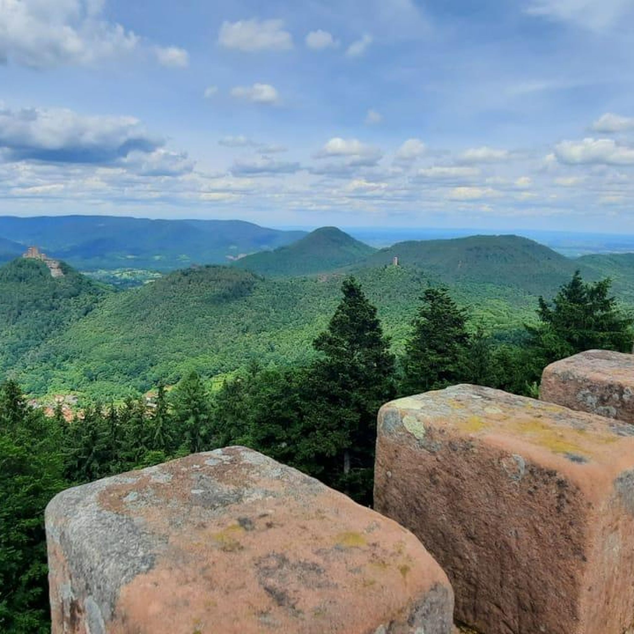
Road cycling routes around Waldrohrbach navigate a landscape characterized by rolling hills, dense forests, and river valleys. The region features historic castles and open meadows, providing varied terrain for road cyclists. Elevation changes are common, with routes traversing both gentle inclines and more challenging climbs. The area offers a mix of paved roads suitable for different skill levels.
Best road cycling routes around Waldrohrbach
- The most popular road cycling route is View of Trifels Castle – View of Berwartstein Castle…
Last updated: November 4, 2026
4.9
(20)
180
riders
Moderate road ride. Good fitness required. Some segments of this route may be unpaved and difficult to ride.
5.0
(1)
26
riders
90.3km
04:13
1,060m
1,060m
Hard road ride. Very good fitness required. Mostly well-paved surfaces and easy to ride.

4.0
(3)
29
riders
Easy road ride. Mostly well-paved surfaces and easy to ride.
4.6
(16)
100
riders
Easy road ride. Mostly well-paved surfaces and easy to ride.
16
riders
Moderate road ride. Good fitness required. Mostly well-paved surfaces and easy to ride.
Get access to more routes and recommendations from other explorers.
Already have an account?
Our route recommendations are based on thousands of hikes, rides, and runs completed by other people on komoot.
Start today with a free account
Your next adventure awaits.
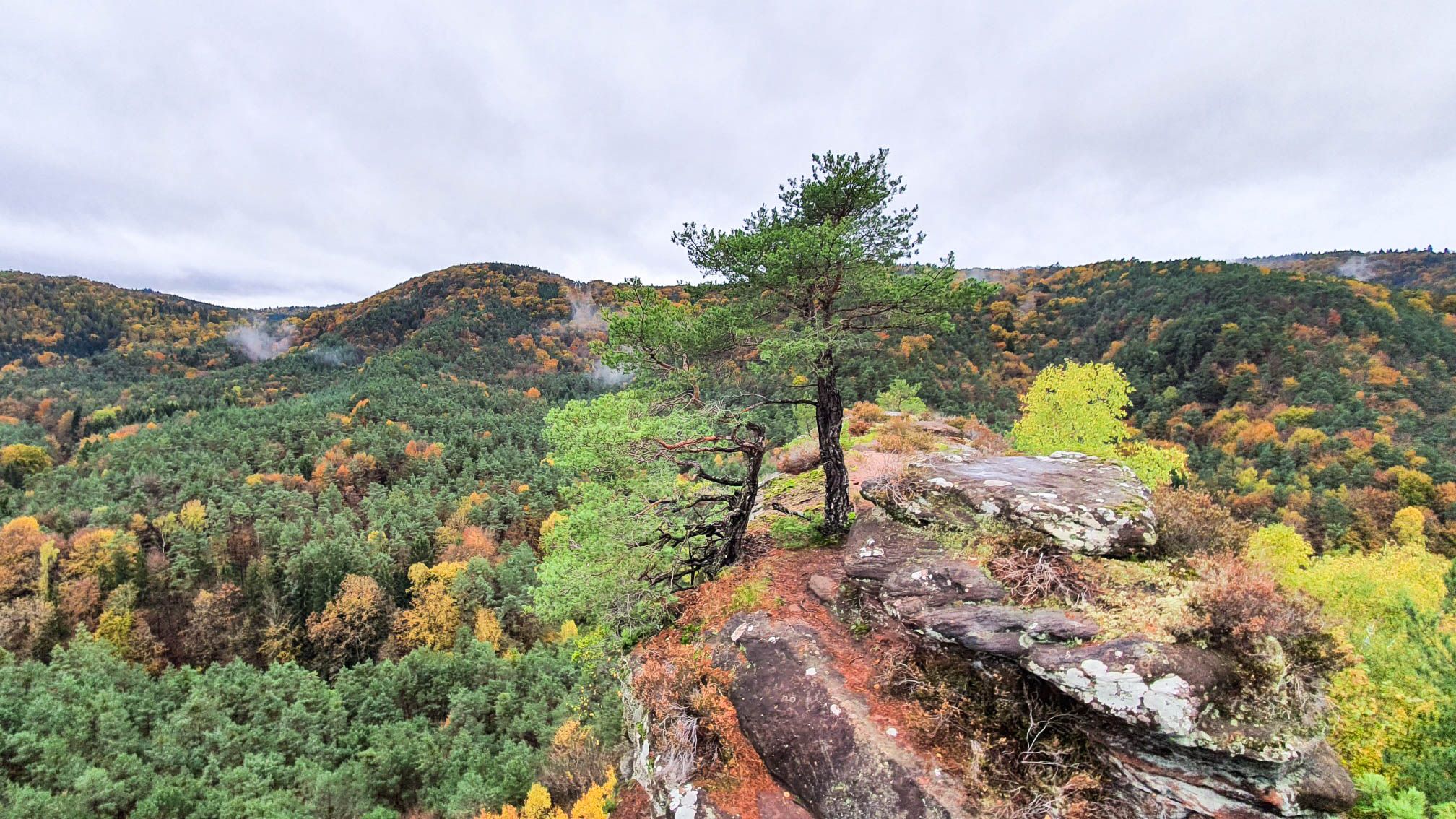
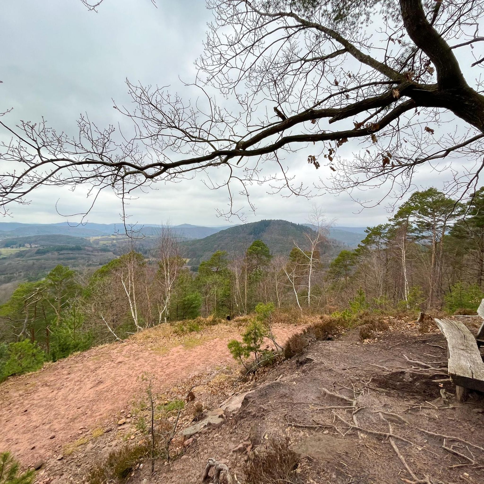
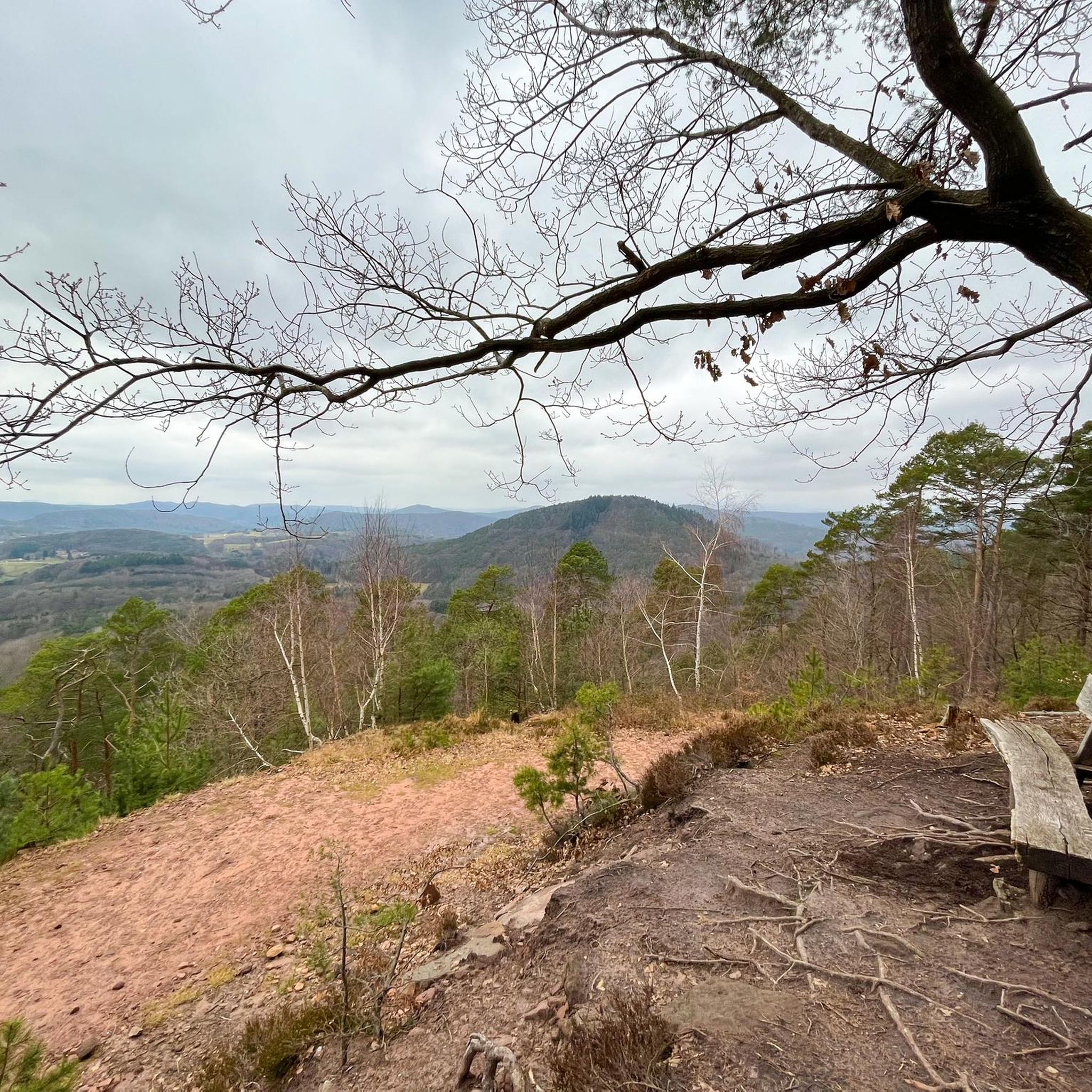
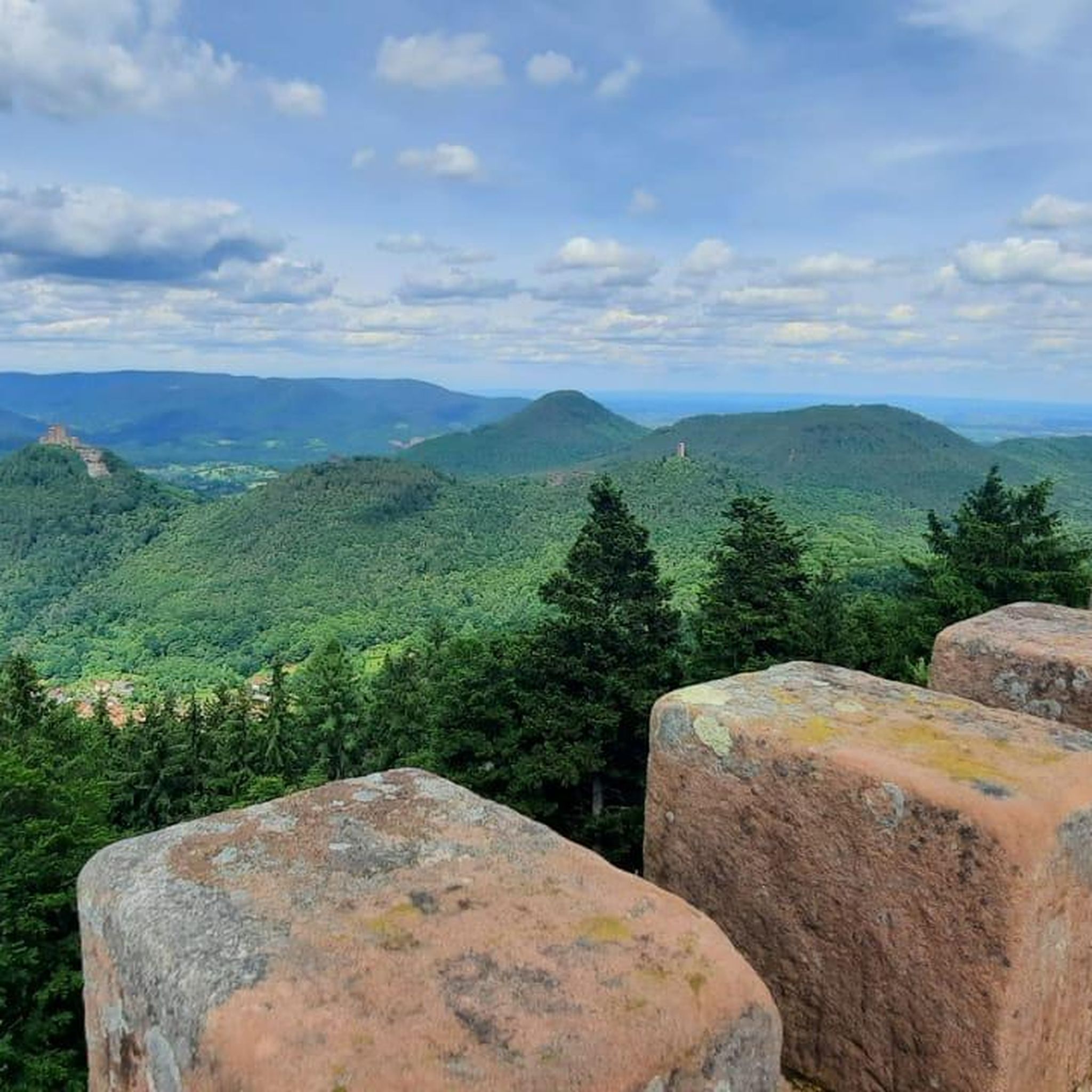


Other adventures around Waldrohrbach

Tips from the Community

The Protestant church in Godramstein is the landmark and the oldest building (built 1774/75) in the village. Before the Reformation, it was called St. Pirmin (just as the Catholic church opposite is called today). 2 white information boards explain the history, the interior architecture, and the tall church tower. 1 red information board on the church tower and a stone scallop shell (on the ground under this information board) indicate that this place of worship belongs to the European "Sternenweg" (Way of the Stars): https://www.sternenweg.net/
1
0

A real lifesaver for quickly, cheaply and uncomplicatedly restocking drinks. There are all sorts of drinks but also various baked goods. For entry, a physical EC card or mobile phone is required. Payment exclusively cashless.
0
0

The German Gate – alternatively called Untertor, formerly designated Porte d’Allemagne. The gate, which was built between 1688 and 1691, together with its southern counterpart – the identically designed French Gate – forms one of the two remaining remnants of the main wall of the Landau fortress. Until well into the 19th century, it was merely one of two possibilities to leave or enter the city.
1
0

Quiet wine village with a nice main street lined with old buildings - a pleasant, low-key stop along the route.
0
0
Nice cafe stop in the middle of Landau's old town - a great place to refuel with coffee and cake before heading back out.
0
0

In the Yobsti self-service shop you can buy provisions, drinks, ice cream and snacks for your hike or bike tour. (Access via EC card) https://yobsti.de/fuer-gemeinden At the village fountain you can even enjoy them in peace 😉 In the meantime, right in front of Yobsti there is a seating set with a shady roof. (See pictures) Next to it, you can even charge your e-bike battery. The municipality has put a lot of effort into this.🥰👍 🥰
0
0

Small wine village in the Südwestpfalz region. Historic village center, many wineries and festivals centered around wine.
3
0

The Deutsche Tor is one of the most striking historical buildings in Landau in der Pfalz – and practically the best-known relic of the old fortress city. It appears rather quiet and almost inconspicuous today, if you don't know what it is. That's precisely what makes it interesting: A piece of military history in the middle of everyday life.
6
0
Frequently Asked Questions
How many road cycling routes are available around Waldrohrbach?
There are over 180 road cycling routes around Waldrohrbach, offering a wide range of options for different skill levels and preferences.
Are there easy road cycling routes suitable for beginners in Waldrohrbach?
Yes, Waldrohrbach offers over 30 easy road cycling routes. A great option for beginners is the View of Trifels Castle – Queich Wet Meadows Cycle Path loop from Annweiler am Trifels, a 17.6-mile trail that leads through scenic meadows with minimal elevation gain.
What are some challenging road cycling routes for advanced riders?
For experienced cyclists seeking a challenge, there are over 30 difficult routes in the region. The View of Trifels Castle – Hermersbergerhof climb loop from Annweiler am Trifels is a demanding 57.8-mile path featuring significant climbs and rewarding views.
Are there any long-distance road cycling trails near Waldrohrbach?
Yes, the region offers several longer routes. The View of Trifels Castle – Hermersbergerhof climb loop from Annweiler am Trifels, at 57.8 miles, provides a substantial ride, while the View of Trifels Castle – View of Berwartstein Castle loop from Annweiler am Trifels covers 37.9 miles, connecting two historic castles.
Can I find circular road cycling routes in the Waldrohrbach area?
Many of the road cycling routes around Waldrohrbach are designed as loops, allowing you to start and finish at the same point. Examples include the View of Berwartstein Castle – Lauter loop from Annweiler am Trifels and the Wassergasse, Annweiler – View of Trifels Castle loop from Annweiler am Trifels.
What kind of scenic viewpoints can I expect on road cycling routes?
Road cycling routes in Waldrohrbach often feature scenic viewpoints of historic castles like Trifels Castle and Berwartstein Castle. You'll also encounter picturesque river valleys, dense forests, and open meadows, providing diverse landscapes to enjoy.
What do other road cyclists enjoy most about road cycling in Waldrohrbach?
The area is highly rated by the komoot community, with an average score of 4.5 stars from over 300 reviews. Cyclists often praise the varied terrain, the combination of historic landmarks with natural beauty, and the well-maintained paved roads suitable for road bikes.
Are there any interesting landmarks or attractions along the road cycling routes?
Yes, many routes pass by or offer views of significant landmarks. You can spot historic castles like Ramburg Castle Ruins. The region also features natural attractions such as Seehofweiher lake and the Klingbachaue Recreation Area.
What is the best season for road cycling in Waldrohrbach?
Spring and autumn are generally considered the best seasons for road cycling in Waldrohrbach. The weather is typically milder, and the natural scenery, with blooming flowers or vibrant fall foliage, enhances the riding experience. Summer can also be pleasant, especially in the mornings or late afternoons.
Are there road cycling routes that pass by cafes or places to stop for refreshments?
While specific cafe stops are not detailed for every route, many routes pass through or near towns and villages where you can find cafes and restaurants. The region is known for its hospitality, and you'll often find opportunities to refuel, especially in larger communities like Annweiler am Trifels.
Is public transport available to access road cycling routes in Waldrohrbach?
Annweiler am Trifels, a central starting point for many routes, has a train station (Annweiler am Trifels station) with connections that can facilitate access to the region. From there, you can easily reach various trailheads. It's advisable to check local public transport schedules and bike carriage policies in advance.
Where can I find parking for road cycling in Waldrohrbach?
Many road cycling routes start from towns like Annweiler am Trifels, where public parking facilities are available. Look for designated parking areas near train stations or town centers, which often serve as convenient starting points for tours.
Most popular routes around Waldrohrbach
Most popular attractions around Waldrohrbach

Get inspired with the komoot mobile app


Explore more
Browse the best Road cycling routes in other regions.
