The best cycling routes around Ampflwang im Hausruckwald
4.7
(108)
645
riders
55
rides
Touring cycling around Ampflwang im Hausruckwald features routes through gently rolling hills and dense forests, characteristic of the Hausruckwald region. The area is situated on the southern slope of the Hausruckwald, with valleys carved by the Ampflwangbach. Elevations vary, with the highest point, Göblberg, reaching 801 meters, offering varied terrain for cyclists. This landscape provides a mix of scenic paths and more challenging ascents.
Best touring cycling routes around Ampflwang im Hausruckwald
- The most popular touring cycling route is Stelzhamer…
Last updated: May 25, 2026
4.8
(6)
73
riders
28.9km
02:11
480m
480m
Hard bike ride. Very good fitness required. Mostly paved surfaces. Suitable for all skill levels.
5.0
(5)
51
riders
37.5km
02:27
430m
430m
Moderate bike ride. Good fitness required. Mostly paved surfaces. Suitable for all skill levels.

Sign up for free
5.0
(3)
56
riders
50.3km
03:41
950m
950m
Hard bike ride. Very good fitness required. Mostly paved surfaces. Suitable for all skill levels.
4.7
(6)
42
riders
21.3km
01:53
470m
470m
Hard bike ride. Very good fitness required. Mostly paved surfaces. Suitable for all skill levels.
3.0
(1)
32
riders
Moderate bike ride. Good fitness required. Mostly paved surfaces. Suitable for all skill levels.
Get access to more routes and recommendations from other explorers.
Sign up for free
Already have an account?
Our route recommendations are based on thousands of hikes, rides, and runs completed by other people on komoot.
Start today with a free account
Your next adventure awaits.
Login or Signup
Popular around Ampflwang im Hausruckwald

Ruperti Trail – Hike from Austria's Bohemian Forest to the Carnic Alps
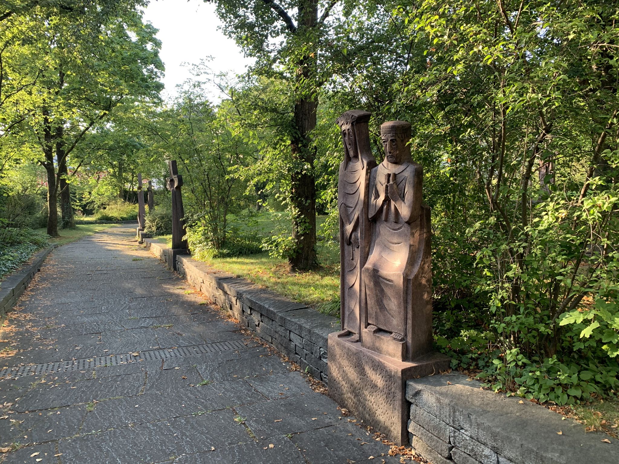
Landscape and history on the Marien hiking trail
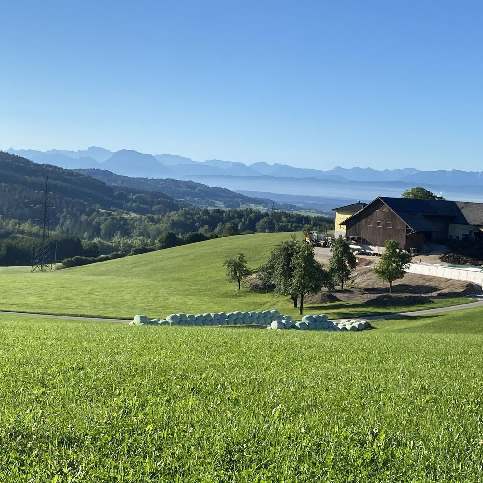
Hiking around Ampflwang im Hausruckwald
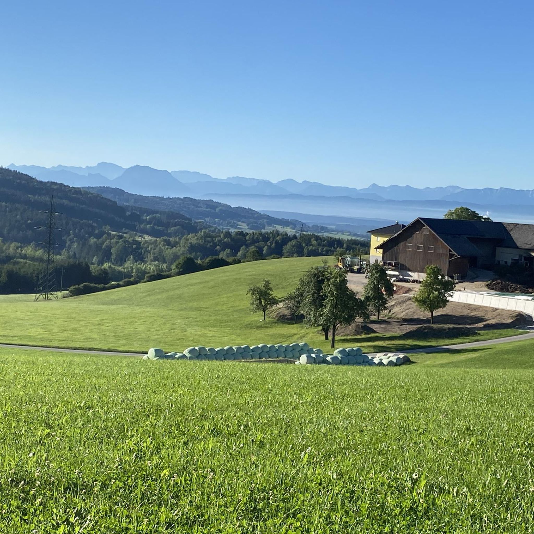
MTB Trails around Ampflwang im Hausruckwald
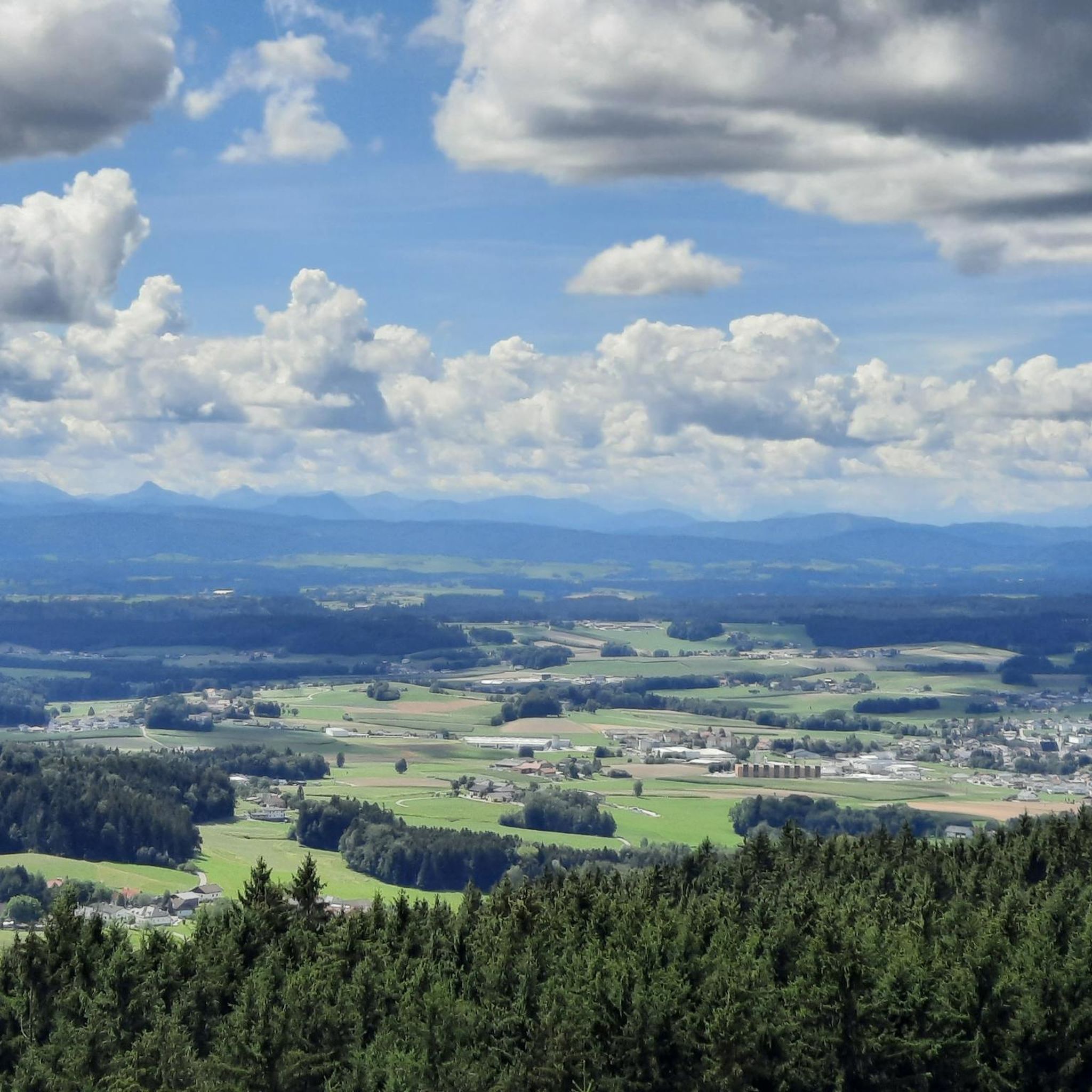
Running Trails around Ampflwang im Hausruckwald
Road Cycling Routes around Ampflwang im Hausruckwald

Gravel biking around Ampflwang im Hausruckwald
Other adventures around Ampflwang im Hausruckwald


Tips from the Community

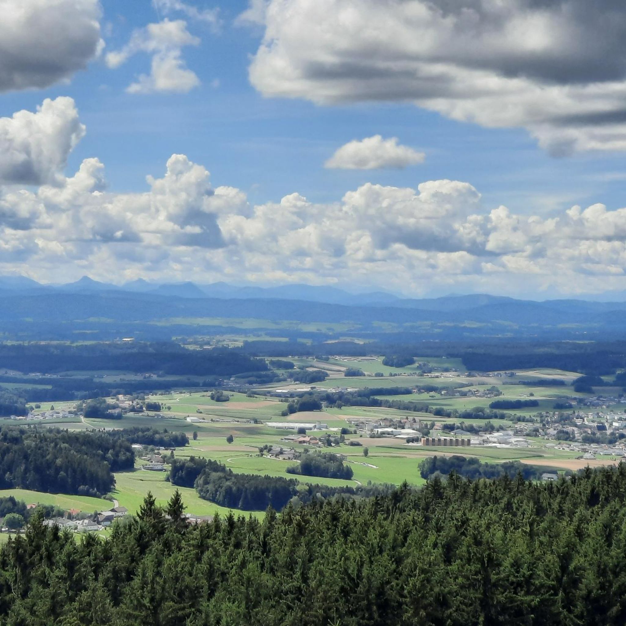
View of the Salzkammergut
0
0

Varied, lots of back roads, forest and some single trails
0
0

The old Timelkam train station is worth a visit in itself with many old trains on the siding.
0
0

The route over the Hausruck should only be chosen by those with experience and sufficient fitness. On some sections, it will be necessary to push/lift
0
0

Kohlgrube, the mining colony in the municipality of Wolfsegg am Hausruck, can be considered the nucleus of lignite mining in the Hausruck region, as mining activities have been documented here since 1776. Kohlgrube once had over 1,000 inhabitants, most of whom were directly or indirectly employed in the mining industry. After the eastern mining area was exhausted, mining in Kohlgrube ceased in 1964. To the south of Kohlgrube lies the Lorenz Tunnel, a small exhibition tunnel. Next to it is an information board with an overview map of the Kohlgrube mining facilities – unfortunately, it is already difficult to read. This tunnel portal, however, is a demonstration tunnel and not the original entrance, which has likely suffered the fate of many entrances here – it is likely dilapidated and forgotten. The tunnel is named after the former mining director of Kohlgrube, Wenzl Lorenz (1818-1871). Around the Kohlgrube mining colony, located in a depression, there were numerous tunnels in which lignite was mined and transported on two 580 mm gauge coal railways. The coal was transported to the Kohlgrube crusher (from the coal railways via a cable car), where it was crushed and sorted. The coal was then transported on the 1,106 mm gauge coal railway (like a horse-drawn railway) via Wufing (tunnel) to Breitenschützing, where it was transferred to the Empress Elisabeth Railway (now the Western Railway line).
0
0
On Whit Monday, May 29, 2023, the Platte Lorenz Monument was unveiled in Kohlgrube, commemorating the history of mining. On January 1, 1836, Karl Platte became the first mine manager under the county of Franz Guyard St. Julien. His son-in-law was Wenzel Lorenz, who later became the operations director of Kohlgrube. Lorenz received mining authority for the entire company in 1863 and became mine manager for Kohlgrube in 1864. The monument had been forgotten for many decades. At its new location—at the entrance to Kohlgrube—the personalities who laid the foundations of mining in Wolfsegg and made the more than 200-year mining history possible will once again be honored.
0
0

cycle path from Großpiesenham to Noxberg
0
0

Interesting Info! https://www.innviertel-tourismus.at/oesterreich-poi/detail/402274/stelzhammer-house.html
0
0
Frequently Asked Questions
How many touring cycling routes are available in Ampflwang im Hausruckwald?
There are over 50 touring cycling routes in Ampflwang im Hausruckwald, offering a diverse range of options for cyclists. These routes traverse the region's characteristic gently rolling hills and dense forests.
What kind of terrain can I expect on touring cycling routes in Ampflwang im Hausruckwald?
The terrain in Ampflwang im Hausruckwald is characterized by gently rolling hills and dense forests, with valleys carved by the Ampflwangbach. Elevations vary, with the highest point, Göblberg, reaching 801 meters, providing a mix of scenic paths and more challenging ascents. You'll find both moderate paths and more difficult sections.
Are there any family-friendly touring cycling routes in the area?
While the guide primarily features moderate to difficult routes, the region offers diverse cycling opportunities. For families, routes along the Ager river are generally flatter and provide spectacular panoramic views. E-bike rentals are also available in nearby Vöcklabruck, which can make longer distances and varied terrain more accessible for all family members.
What are some notable landmarks or attractions I can see along the cycling routes?
Many routes offer opportunities to explore local points of interest. You might pass by the Göblberg Observation Tower, which offers a 360-degree panoramic view. Other attractions include the Pettenfirst Hut and the idyllic Prameter Swimming Lake, a popular spot for relaxation. The region also has a rich mining heritage, with some routes passing through former mining towns.
What is the best time of year to go touring cycling in Ampflwang im Hausruckwald?
Ampflwang im Hausruckwald is beautiful throughout the warmer months. Spring brings blossoming meadows and forests, summer offers ideal warm weather for extended tours, and autumn transforms the landscape into a vibrant display of red, orange, and yellow hues. Each season offers a unique scenic experience.
Are there any circular touring cycling routes available?
Yes, many of the touring cycling routes in Ampflwang im Hausruckwald are designed as loops. For example, the Timelkam Train Station – Zipfer Brewery loop from Ampflwang is a moderate 37.5 km path, and the Göblberg Observation Tower – Hubertus Chapel loop from Ampflwang is a challenging 21.2 km route that takes you past key viewpoints.
What do other touring cyclists enjoy most about cycling in Ampflwang im Hausruckwald?
The area is highly rated by the komoot community, with an average score of 4.7 stars from over 100 reviews. Cyclists often praise the varied terrain, the scenic beauty of the rolling hills and dense forests, and the well-maintained paths that offer both moderate and challenging options.
Are there options for parking near the touring cycling routes?
Yes, parking is generally available near the starting points of many routes. Ampflwang im Hausruckwald is a good base, and specific trailheads often have designated parking areas. It's advisable to check local signage upon arrival for the most convenient spots.
Can I reach the cycling routes using public transport?
Ampflwang im Hausruckwald has some public transport connections. For example, the Timelkam Train Station – Zipfer Brewery loop from Ampflwang starts near a train station, making it accessible by rail. For other routes, local bus services might connect to various points, but it's recommended to check schedules in advance.
Are there any particularly challenging touring cycling routes for experienced riders?
Experienced riders will find several challenging routes. The View of the Mountains – View of the Alps loop from Ampflwang is a difficult 50.3 km trail with significant elevation gain, offering panoramic views. Another demanding option is the Stelzhamer House – Hubertus Chapel loop from Ampflwang, a difficult 28.9 km route traversing rolling hills and forested sections.
Are there any routes that offer views of the Alps?
Yes, some routes provide stunning panoramic views, including distant glimpses of the Alps on clear days. The View of the Mountains – View of the Alps loop from Ampflwang is specifically named for its potential to offer such vistas, leading through varied terrain with opportunities for expansive views.
Most popular routes around Ampflwang im Hausruckwald
Most popular attractions around Ampflwang im Hausruckwald

Get inspired with the komoot mobile app


Explore more
Browse the best Cycling routes in other regions.
