The best walks and hikes around Ampflwang im Hausruckwald
4.6
(347)
1,927
hikers
88
hikes
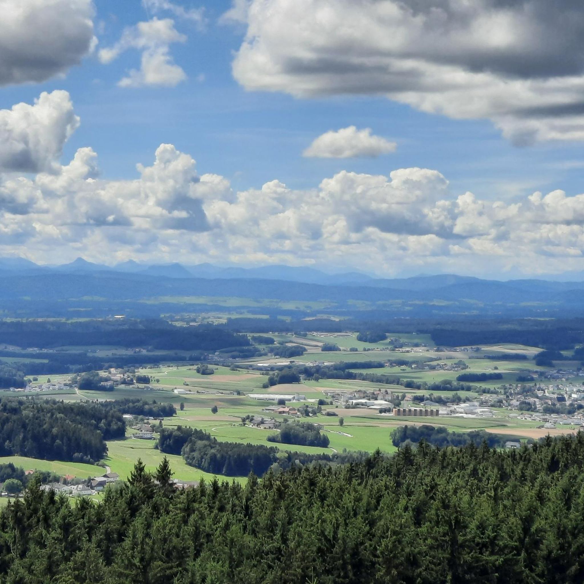
Hiking around Ampflwang im Hausruckwald offers access to a diverse landscape on the edge of the Hausruckwald, one of Europe's largest contiguous forest regions. The area features rolling hills, dense woodlands, and small streams. The Göblberg, at 801 meters, provides panoramic views of the forested and hilly terrain, extending to the Alps. This region provides a network of trails suitable for various fitness levels.
Best hiking trails in Ampflwang im Hausruckwald
- The most popular hiking route is Descent from Göblberg…
Last updated: May 16, 2026
4.8
(73)
428
hikers
Moderate hike. Good fitness required. Easily-accessible paths. Suitable for all skill levels.
4.8
(28)
157
hikers
Moderate hike. Good fitness required. Easily-accessible paths. Suitable for all skill levels.

Sign up for free
4.5
(24)
101
hikers
Moderate hike. Good fitness required. Easily-accessible paths. Suitable for all skill levels.
4.1
(24)
113
hikers
Easy hike. Great for any fitness level. Easily-accessible paths. Suitable for all skill levels.
4.8
(11)
58
hikers
12.1km
03:29
310m
310m
Moderate hike. Good fitness required. Easily-accessible paths. Suitable for all skill levels.
Get access to more routes and recommendations from other explorers.
Sign up for free
Already have an account?
Our route recommendations are based on thousands of hikes, rides, and runs completed by other people on komoot.
Start today with a free account
Your next adventure awaits.
Login or Signup
Popular around Ampflwang im Hausruckwald

Ruperti Trail – Hike from Austria's Bohemian Forest to the Carnic Alps
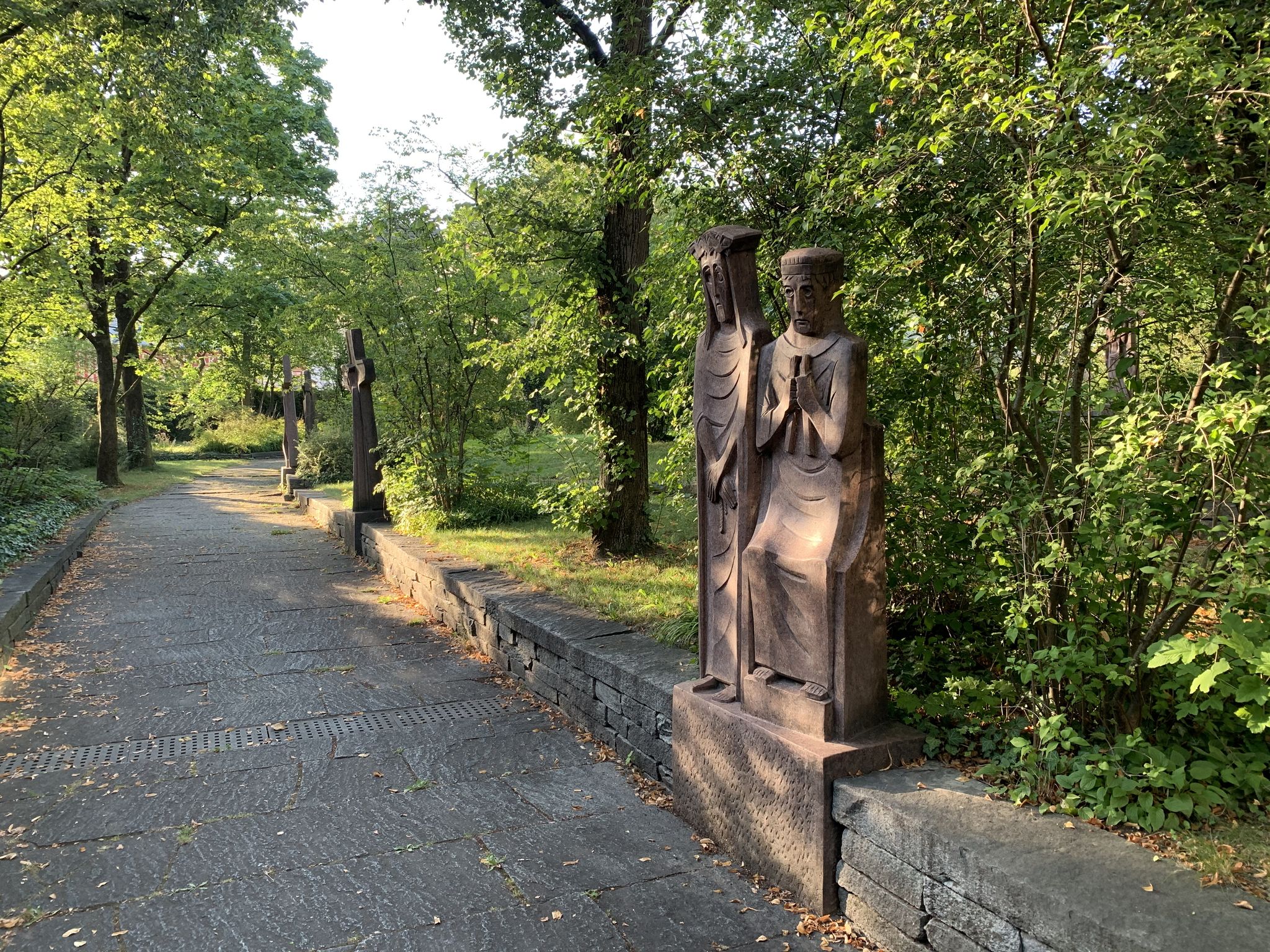
Landscape and history on the Marien hiking trail
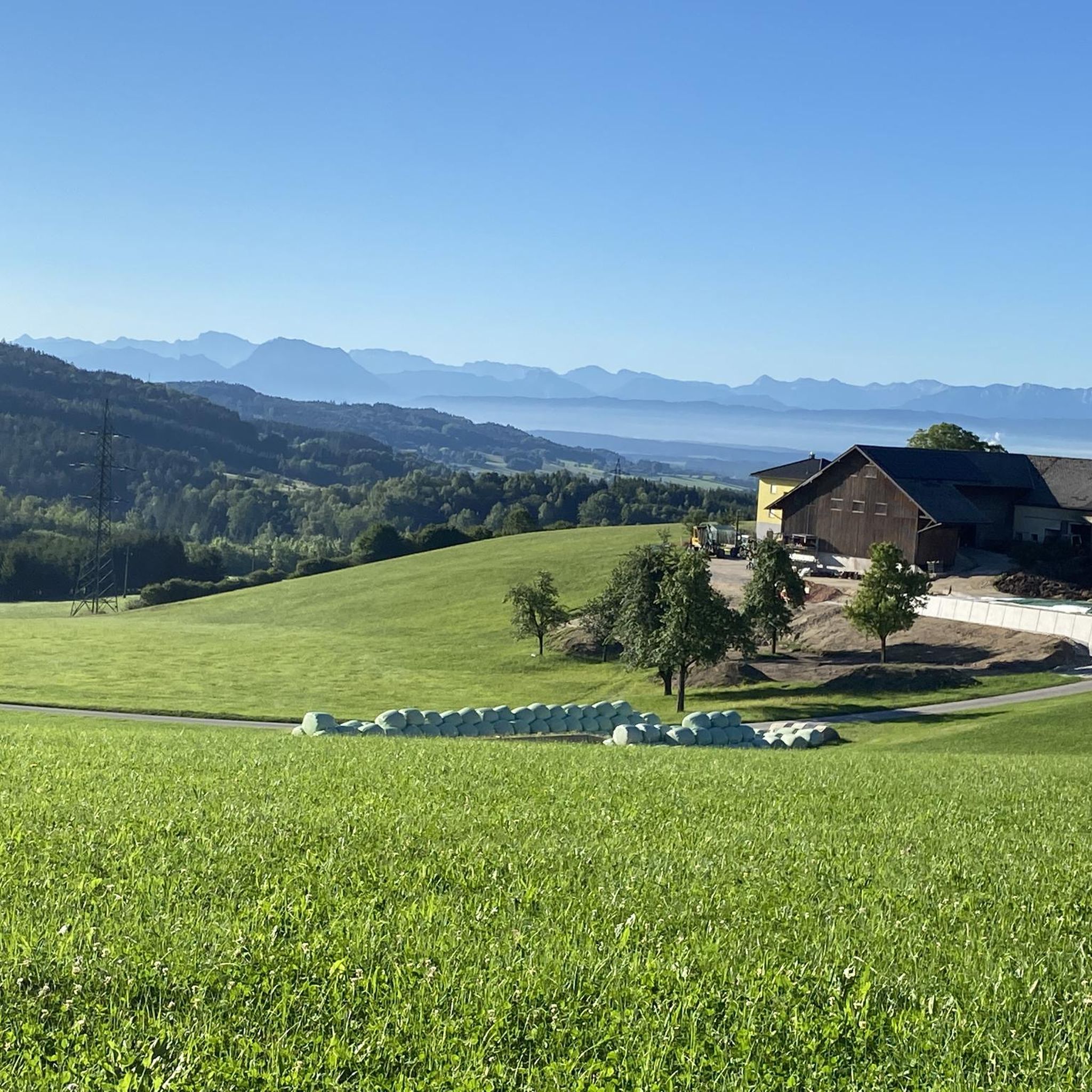
Cycling around Ampflwang im Hausruckwald
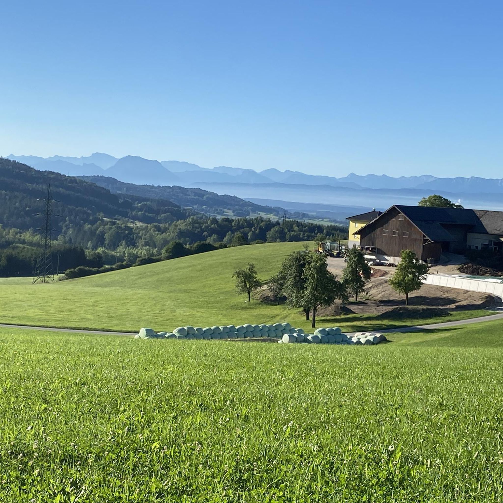
MTB Trails around Ampflwang im Hausruckwald
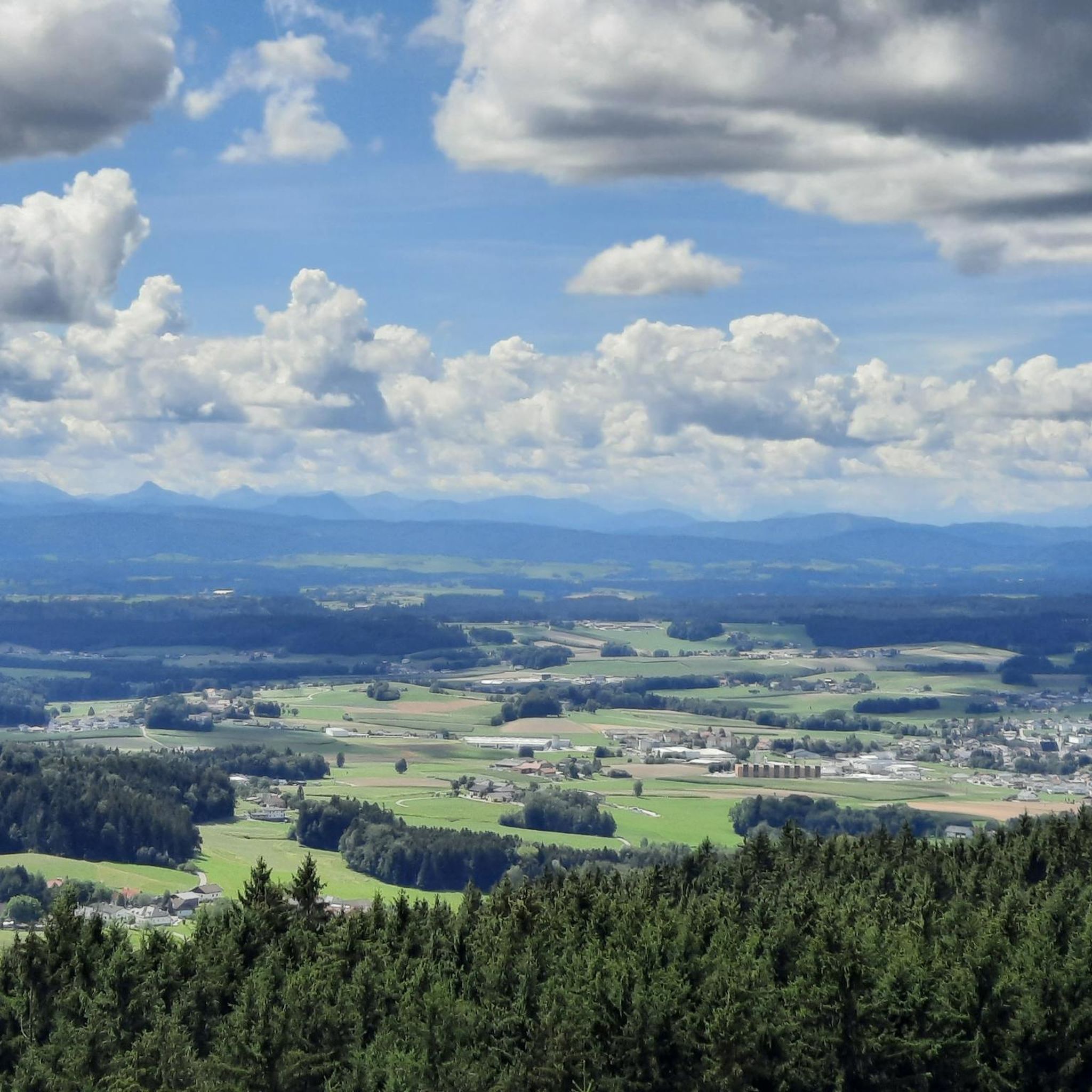
Running Trails around Ampflwang im Hausruckwald
Road Cycling Routes around Ampflwang im Hausruckwald

Gravel biking around Ampflwang im Hausruckwald
Other adventures around Ampflwang im Hausruckwald


Tips from the Community

a very inconspicuous summit (actually not a summit at all) but a summit cross 😉
0
0
...a very lovingly designed place to linger🐞
1
0

A beautiful cross adorns the larch summit, which is easily accessible via forest paths.
0
0
This summit point is only of interest to summit collectors and is easy to reach.
0
0

The bathing lake, which is embedded in the idyllic landscape of the Innviertel, invites visitors to enjoy refreshing swimming and water sports activities. With its natural water and surrounding nature, the Prameter bathing lake is a popular destination for families, couples and outdoor enthusiasts alike. A swimming island, an extensive non-swimmer area, spacious sunbathing and play areas, a beach volleyball court, tennis courts and a children's playground provide variety.
0
0

Great tips and information to make you want to visit this place. Thank you for that!
1
0

Wonderfully beautiful and well-groomed with food at the buffet!
0
0

ATTENTION: There are also riders on the entire routes and paths in Ampflwang. Please do NOT pass horses at full speed and drive around corners with foresight!
1
0
Frequently Asked Questions
How many hiking trails are available in Ampflwang im Hausruckwald?
Ampflwang im Hausruckwald offers a comprehensive network of over 90 hiking trails. These routes cater to various preferences, ranging from easy walks to more challenging paths, ensuring there's something for every hiker.
Are there hiking trails suitable for families or those looking for easy walks?
Yes, Ampflwang im Hausruckwald is well-suited for families and those seeking less strenuous options. There are 44 easy routes available. An example is the Aldiana Club Ampflwang – Ram Sculpture in the Forest loop, which is 3.2 miles (5.1 km) long and takes about 1 hour 25 minutes to complete through forested areas.
What kind of landscapes can I expect to see while hiking in Ampflwang im Hausruckwald?
The region is characterized by rolling hills and dense woodlands, forming part of the Hausruckwald, one of Europe's largest contiguous forest regions. You'll encounter small streams, diverse plant and animal life, and stunning panoramic vistas, especially from higher points like the Göblberg.
Are there any notable viewpoints or landmarks along the hiking trails?
Absolutely. The most prominent viewpoint is the observation tower on the Göblberg, which at 801 meters, offers a 360-degree panoramic view of the forested landscape and distant Alps. You can experience this on routes like the Aldiana Club Ampflwang – Göblberg Observation Tower loop. Other natural highlights include the Luisenhöhe Observation Deck and the Kreml Oak.
Can I bring my dog on the hiking trails in Ampflwang im Hausruckwald?
While the region's natural environment is generally welcoming, it's always recommended to keep dogs on a leash to protect local wildlife and ensure a pleasant experience for all hikers. Please be mindful of any specific signage on individual trails.
Are there any circular hiking routes available?
Yes, many routes in Ampflwang im Hausruckwald are circular, offering convenient starting and ending points. For example, the Göblberg Observation Tower – Brecher Buchleiten Coal Processing Plant loop is a moderate 7.3 miles (11.8 km) circular hike that takes about 3 hours 25 minutes.
What do other hikers enjoy most about hiking in Ampflwang im Hausruckwald?
The area is highly rated by the komoot community, with an average score of 4.7 stars from over 300 reviews. Hikers often praise the peaceful environment of the dense forests, the well-maintained paths, and the rewarding panoramic views from spots like the Göblberg observation tower.
Are there any places to swim or relax near the hiking trails?
Yes, the Prameter Swimming Lake is integrated into the idyllic landscape and offers opportunities for refreshing swims and water sports, making it a popular spot. The Aldiana Club Ampflwang – Prameter Swimming Lake loop is a moderate 7.7 miles (12.4 km) path that passes by this lake.
What is the best time of year to go hiking in Ampflwang im Hausruckwald?
The Hausruckwald offers a beautiful hiking experience throughout the year. Spring brings lush greenery, summer provides pleasant forest shade, and autumn showcases vibrant foliage. Even in winter, the trails can be enjoyed, though conditions may vary and some paths might be more challenging.
Are there any facilities or places to eat near the hiking routes?
Yes, you can find various huts and snack stations in the vicinity. Notable options include the Pettenfirst Hut, Malvent Snack Station, and the Luisenhöhe Forest Inn, which are great for a break or a meal during your hike.
Where can I find more information about the hiking trails in the Hausruckwald region?
For additional details and maps of the wider Hausruckwald hiking network, you can consult resources like the official regional hiking folder: Hausruckwald Wanderwegefolder.
Most popular routes around Ampflwang im Hausruckwald
Most popular attractions around Ampflwang im Hausruckwald

Get inspired with the komoot mobile app


Explore more
Browse the best Hikes in other regions.
