The best running trails around Huy
4.4
(410)
20,532
runners
1,290
runs
Jogging around Huy offers a diverse landscape shaped by the Meuse River and its tributaries, including the fast-flowing Hoyoux. The region features a mix of scenic riverbanks, expansive woods like Tihange Wood, and varied terrain with significant hills. This combination provides a range of running experiences, from gentle riverside paths to more demanding uphill climbs.
Best jogging routes around Huy
- The most popular jogging route is Meuse View Trail – Chemin des Cathédrales loop from Marchin, a 16.7 miles…
Last updated: October 10, 2026
5.0
(4)
162
runners
31.4km
03:47
570m
570m
Hard run. Very good fitness required. Mostly accessible paths. Some sure footedness required.
5.0
(2)
462
runners
22.6km
02:48
560m
560m
Hard run. Very good fitness required. Mostly paved surfaces. Suitable for all skill levels.

2.0
(1)
255
runners
26.9km
03:29
850m
850m
Hard run. Very good fitness required. Mostly accessible paths. Some sure footedness required.
4.0
(1)
220
runners
13.7km
01:41
310m
310m
Hard run. Very good fitness required. Mostly paved surfaces. Suitable for all skill levels.
4.7
(3)
227
runners
10.8km
01:28
450m
450m
Hard run. Very good fitness required. Mostly accessible paths. Some sure footedness required.
4.3
(3)
203
runners
15.4km
01:48
280m
290m
Hard run. Very good fitness required. Mostly accessible paths. Some sure footedness required.
5.0
(1)
202
runners
13.8km
01:43
340m
340m
Hard run. Very good fitness required. Mostly paved surfaces. Suitable for all skill levels.
5.0
(2)
175
runners
14.1km
01:44
300m
300m
Hard run. Very good fitness required. Mostly paved surfaces. Suitable for all skill levels.
5.0
(3)
265
runners
14.3km
01:32
200m
200m
Moderate run. Good fitness required. Mostly paved surfaces. Suitable for all skill levels.
4.5
(2)
220
runners
8.89km
00:59
20m
20m
Moderate run. Good fitness required. Mostly paved surfaces. Suitable for all skill levels.
Get access to more routes and recommendations from other explorers.
Already have an account?
Our route recommendations are based on thousands of hikes, rides, and runs completed by other people on komoot.
Start today with a free account
Your next adventure awaits.
Popular around Huy
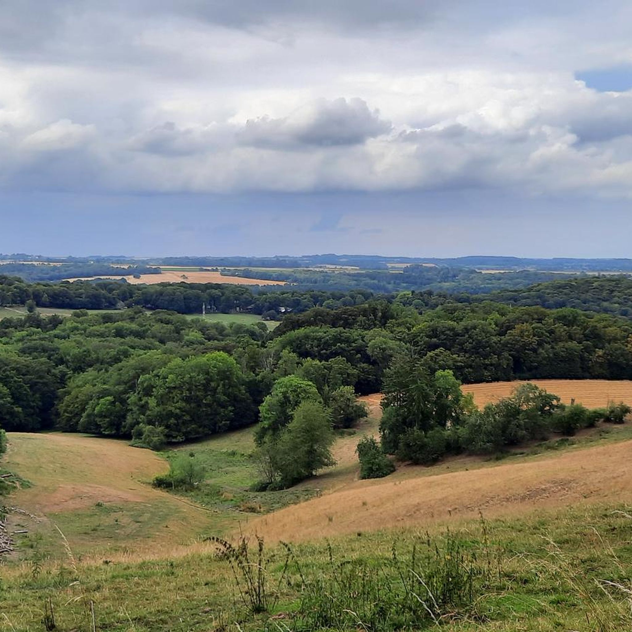
Running Trails in Bois De Malvin
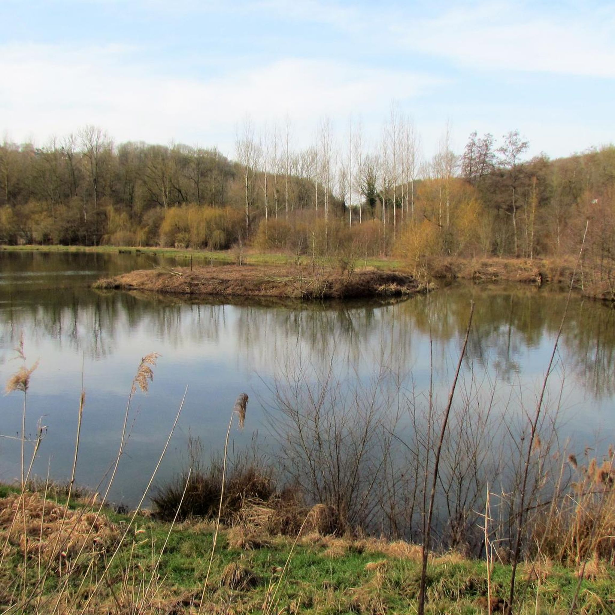
Running Trails around Wanze
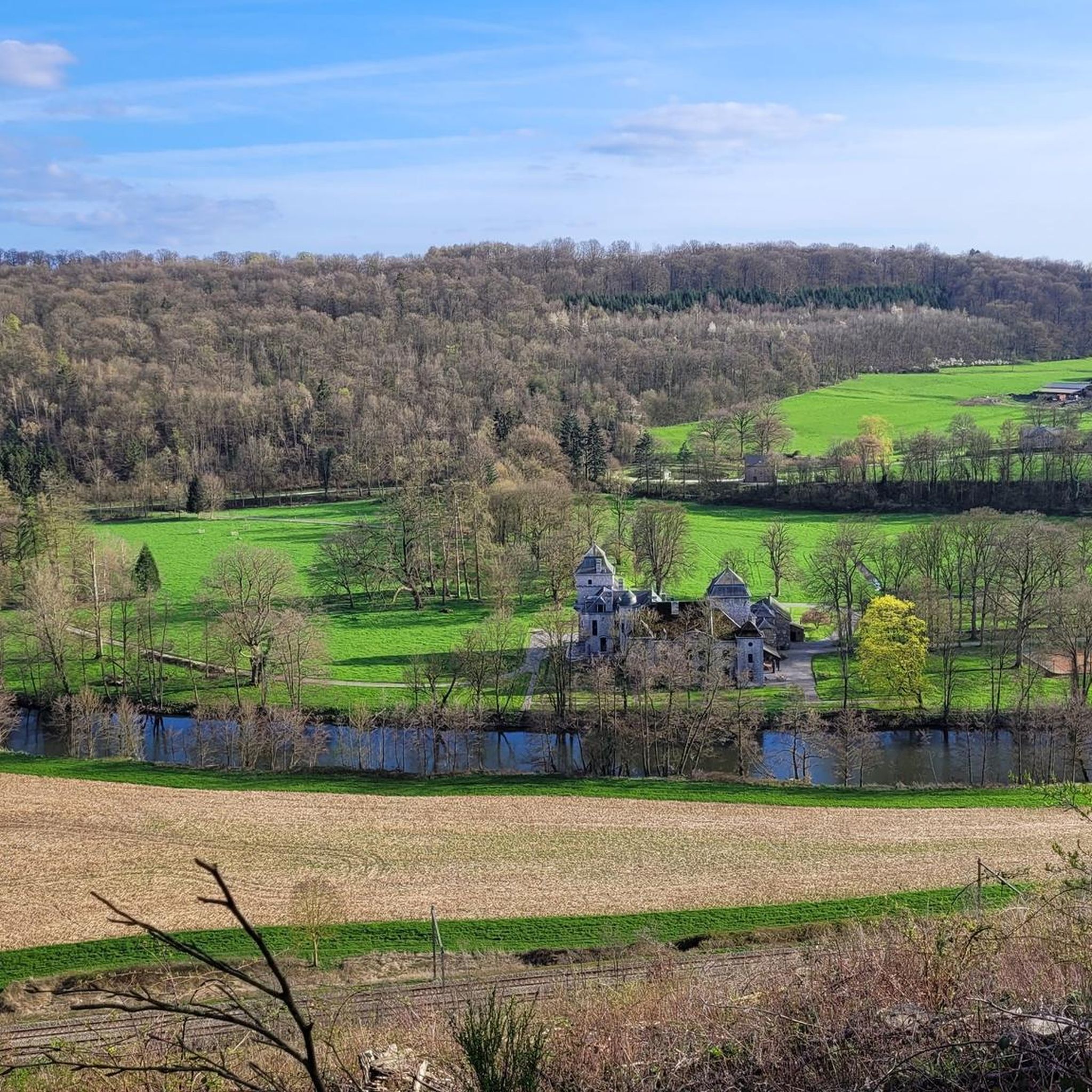
Running Trails around Hamoir
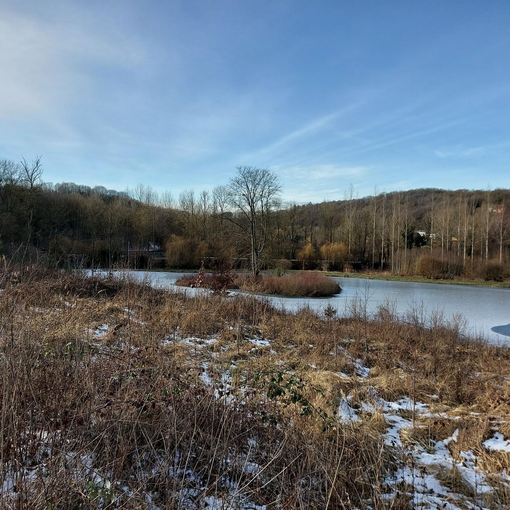
Running Trails in Burdinale-Mehaigne Natural Park
Running Trails around Amay
Running Trails around Marchin
Running Trails around Ferrières
Running Trails around Héron
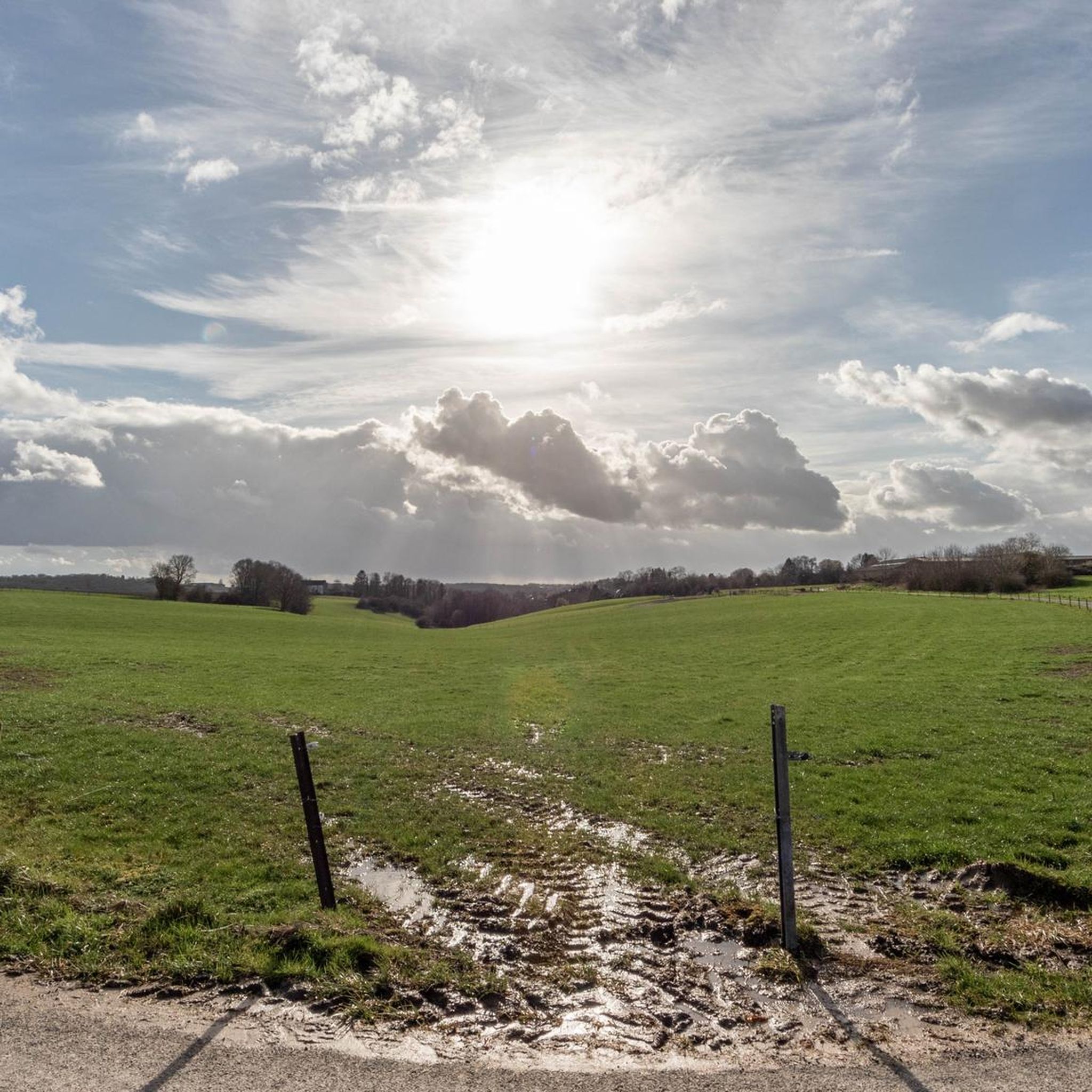
Running Trails around Burdinne
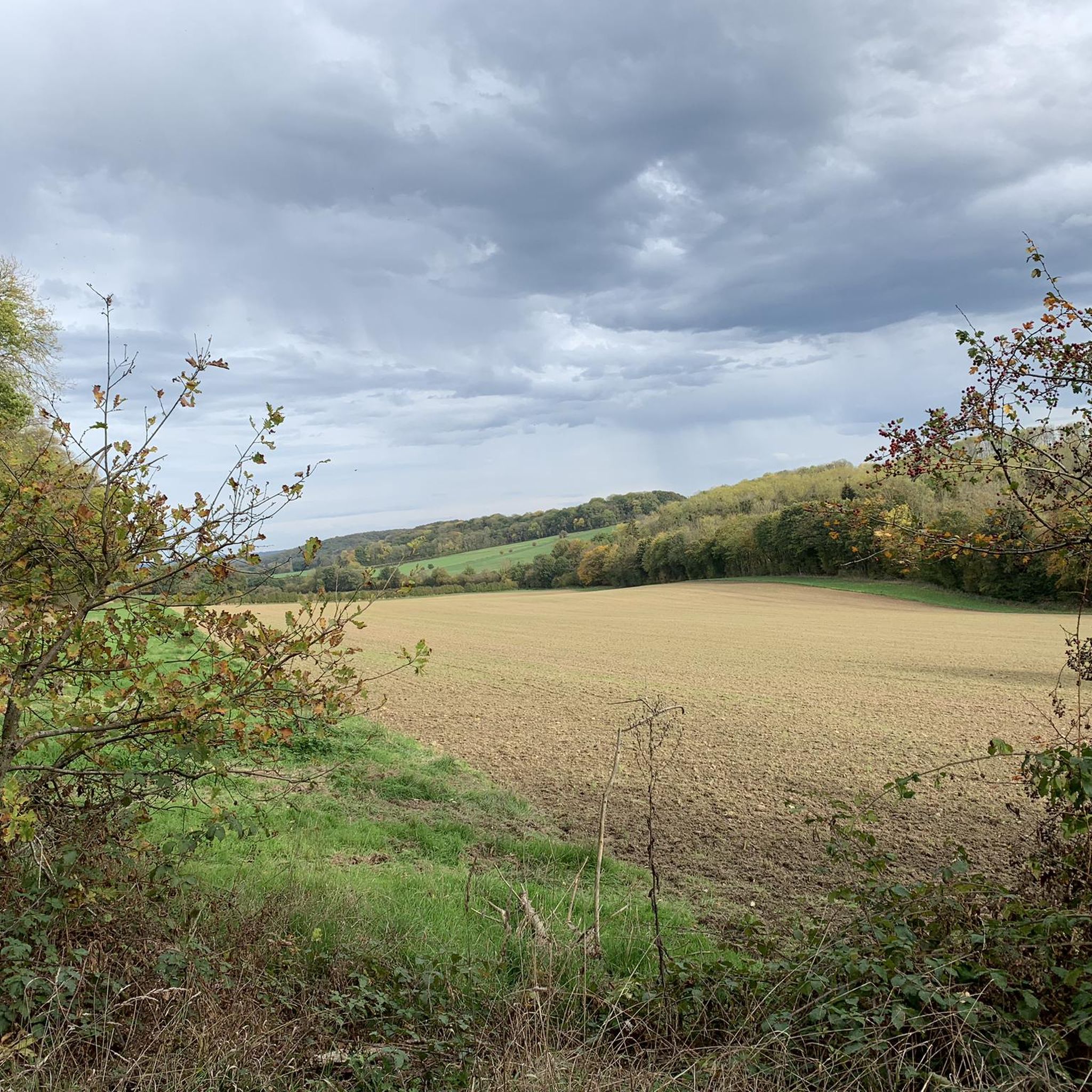
Running Trails around Nandrin
Other adventures around Huy


Tips from the Community

Here, the river sets the rhythm. The Solières accompanies the walker through a haven of greenery where forest, rocks, small waterfalls, and more secret passages follow one another. Then, around the bend in the path, heritage invites itself into the scenery with the ancient traces of the valley and the ruins of Beaufort. A charming hike, where nature and history meet at every step.
2
0

The Gîte «La Poudrerie» (also known as La Poudrerie de Lovegnée) is a unique, historic holiday home located in the deep, wooded valley of the river Solières. The name already reveals its history: "poudrerie" is the French word for gunpowder factory. What is now a peaceful holiday home was once the beating and dangerous heart of an industrial gunpowder production.
1
0

The first descriptions of this Trou Manto date back to 1833. The name refers to the prophetess Manto, daughter of Tiresias of Thebes, who was brought to Delphi after her birthplace was conquered by the Epigoni. From there she traveled to Asia Minor, where she married the Cretan Rhacius, with whom she had Mopsus, and founded a temple of Apollo in Claros. According to legend, she spent her last days in Italy. What the link between this cave and the legend from Greek antiquity is, is unclear. It is a fossil cave. In 1964, a narrow passage was made to the adjacent 'Grotte Sint-Etienne'. This junction is called the "birth" by speleologists. It is, along with the 10m deep shaft, the most difficult segment of the cave. The cave is not accessible to the public and has never been developed for tourism. Only with a membership card of the Belgian Speleological Union and a key can you access the limestone passages. To protect the site, it was decided to close the entrances with massive doors equipped with padlocks. However, as bats had been regularly present during their hibernation since 1970, the entrances to the two caves were only screened in 1990 to facilitate their entry and exit. Observations of these small mammals by NATAGORA led to the identification of several regionally endangered species, such as the lesser horseshoe bat and the Bechstein's bat. Vincent Poitier, a pioneer of the 4th Baden Powell unit of the Collegiate Church of Huy, organized several visits to the cave system together with scout leader Jean-Louis Cuvelier. Some entered through the Trou-Manto cave, while others, the more adventurous, went directly through the Trou St-Etienne cave. source: wikihuy.be
2
1
Slight elevation differences, narrow but easily passable paths, always with the Ruisseau de Solières or the Ruisseau des Avairis et du Bois Mélart nearby, ... a lovely walking forest (with, indeed, sometimes a small section through a meadow).
2
0
It is indeed picturesque, especially in summer, with a beautiful interplay of green tones from trees, grasses, and corn on the one hand, and golden yellow from grain (and dry grass) on the other.
3
0
Gîte La Poudrerie is the former home of the director of the Lovegnée gunpowder factory. (and not the former wine press of the Château d'Ahin, as incorrectly reported here; that is the nearby "Gîte de La Pressoir") This very remote site with a special geological nature was chosen during the Renaissance to build a powder factory there. This powder initially had a military purpose and was later used, until the middle of the 20th century, for quarrying limestone in the quarries of the Meuse valley. The manufacture of gunpowder is extremely dangerous, and so the valley was never built upon… which is why the site is now part of the "Natura 2000" project thanks to its ecological importance. The director's house, today a holiday residence for about 15 people, is a characteristic example of the bourgeois style of the 1930s. It is located in the heart of a deep and very wooded valley, barely 5 metres from a babbling stream that is constantly eroding the earth. Source: www.poudrerie.be/nl/poudrerie/
2
0
Bas-Oha has about 1700 inhabitants. Since 1977, it has been a sub-municipality of Wanze. The written history of the village dates back to 1157. It was then part of the county of Moha. Bas-Oha has several castles: the Château Rouge (17th century), the Château Blanc (18th century) and the Château à l'Horloge (18th century), which is currently the town hall/service center/library. In the 19th century, the economy was based on coal, iron, foundries and quarries.
2
0

Pont Roi Baudouin Last successor to the Pontia (one of the four wonders of Huy, the first stone bridge built between 1294 and 1303), it was inaugurated in June 1956 in the presence of HM King Baudouin. This three-arch bridge with simple lines and local stone features little ornamentation. Thus, it fits discreetly into the landscape dominated by the Fort and the Collegiate Church. On the bridge (left bank), a sculpted group "Les Bourgeois", was created in 1966 by Pierre Pétry. It overlooks a dated stone "1686". source https://www.visithuy.be/tourisme/ponts-de-huy
0
0
Frequently Asked Questions
What types of terrain can I expect on running routes around Huy?
The running routes around Huy offer a diverse range of terrain. You'll find gentle paths along the Meuse and Hoyoux rivers, perfect for a relaxed jog. For those seeking a challenge, the region also features significant hills and varied woodlands, including areas like Tihange Wood and the Solières Valley, providing more demanding uphill climbs and trail running experiences.
Are there any easy running options available in Huy?
Yes, despite the region's hilly reputation, Huy offers a good selection of easier running routes. There are over 45 easy routes, often found along the scenic riverbanks of the Meuse, providing flatter paths suitable for beginners or those looking for a less strenuous run.
Can I find running routes with scenic viewpoints in Huy?
Absolutely. Many routes in Huy offer rewarding views, especially those that ascend the region's hills. For instance, the Meuse View Trail – Chemin des Cathédrales loop from Marchin provides extensive views of the Meuse valley. The Citadel of Huy also offers panoramic vistas, making any run towards it particularly scenic.
Are there running trails suitable for families or those with dogs in Huy?
Huy's varied landscape includes many paths through woods and along rivers that are generally suitable for families. While specific routes for dogs are not always explicitly marked, many of the natural trails, especially in areas like Tihange Wood or along the Hoyoux River, are popular with dog owners. Always ensure dogs are kept on a leash where required and respect local regulations.
Are there any circular running routes in the Huy area?
Yes, many of the running routes around Huy are designed as circular loops, allowing you to start and finish at the same point. Examples include the Tour Joseph – Chemin Saint-Joseph Trail loop from Huy, which takes you through hilly woodlands, and the King Baudouin Bridge – Medieval Alleyway loop from Huy, offering a mix of urban and riverside scenery.
What natural features or landmarks can I see while running in Huy?
Huy's running routes are rich with natural beauty and historical landmarks. You can run alongside the Meuse River, explore the dynamic Hoyoux River with its potential for waterfalls, or venture into expansive woods like Tihange Wood. Notable landmarks include the impressive Citadel of Huy and the historic Collégiale Notre-Dame de Huy. Further afield, you might encounter natural monuments like Sy Rocks or historical sites such as Modave Castle.
What do other runners enjoy most about the trails in Huy?
The running trails in Huy are highly rated by the komoot community, with an average score of 4.4 stars from over 340 reviews. Runners frequently praise the diverse landscape, from scenic river views to challenging forest climbs, and the extensive network of routes that cater to various ability levels. The combination of natural beauty and historical context is often highlighted as a major draw.
Are there running routes that pass by water features like rivers or waterfalls?
Definitely. Huy is situated at the confluence of the Meuse and Hoyoux rivers, offering numerous opportunities for riverside runs. The Hoyoux River, known as Belgium's fastest, provides a dynamic experience, and you might even spot waterfalls along its course. Routes like the Trou Manto – Solières Stream loop from Gives navigate through valleys with stream-side terrain.
How many running routes are available around Huy?
There's a vast network of running routes around Huy, with over 1200 different tours available. This extensive selection ensures that runners of all levels can find suitable paths, from short, easy jogs to long, challenging trail runs.
Are there any running routes that explore the Solières Valley?
Yes, the Solières Valley is a popular area for running due to its raw nature and magnificent woods. The Trou Manto – Solières Stream loop from Gives is an excellent example, offering a challenging path through varied forest and stream-side terrain within the valley. Another option is the Solières Stream – Bench Under a Tree loop from Solières.
Can I find running routes that are less crowded or considered 'hidden gems'?
While popular routes attract many, Huy's extensive network means you can often find quieter trails, especially in the larger wooded areas like Tihange Wood or within the Burdinale-Mehaigne Nature Park. Exploring some of the less-trafficked moderate or difficult routes, such as the Wanze Bas-Oha Trail, can lead to a more secluded running experience.
Most popular routes around Huy
Most popular attractions around Huy

Get inspired with the komoot mobile app


Didn’t find what you were looking for?
Check out more Running Trails & Routes throughout Huy below and find the perfect route in your destination.
