The best walks and hikes around Landen
4.3
(320)
2,118
hikers
214
hikes
Hiking around Landen offers a network of trails through a landscape characterized by gentle hills, agricultural fields, and historic landmarks. The region features a mix of open countryside, small woodlands, and ancient hollow ways, providing varied terrain for outdoor exploration. Elevations are generally low, making many routes accessible for a wide range of abilities.
Best hiking trails in Landen
- The most popular hiking route is Church and tithe barn in Laar – Hollow Way Nature Trail loop from Neerwinden,…
Last updated: July 31, 2026
4.3
(28)
113
hikers
Moderate hike. Good fitness required. Easily-accessible paths. Suitable for all skill levels.
4.2
(13)
82
hikers
10.3km
02:40
50m
50m
Moderate hike. Good fitness required. Easily-accessible paths. Suitable for all skill levels.

Sign up for free
4.7
(6)
39
hikers
6.22km
01:37
30m
30m
Easy hike. Great for any fitness level. Easily-accessible paths. Suitable for all skill levels.
3.8
(5)
47
hikers
9.11km
02:20
40m
40m
Moderate hike. Good fitness required. Easily-accessible paths. Suitable for all skill levels.
4.2
(10)
43
hikers
12.4km
03:12
50m
50m
Moderate hike. Good fitness required. Easily-accessible paths. Suitable for all skill levels.
Get access to more routes and recommendations from other explorers.
Sign up for free
Already have an account?
Our route recommendations are based on thousands of hikes, rides, and runs completed by other people on komoot.
Start today with a free account
Your next adventure awaits.
Login or Signup

Tips from the Community

Roadside chapel on the corner of Bortombestraat and Wezerenstraat
3
0
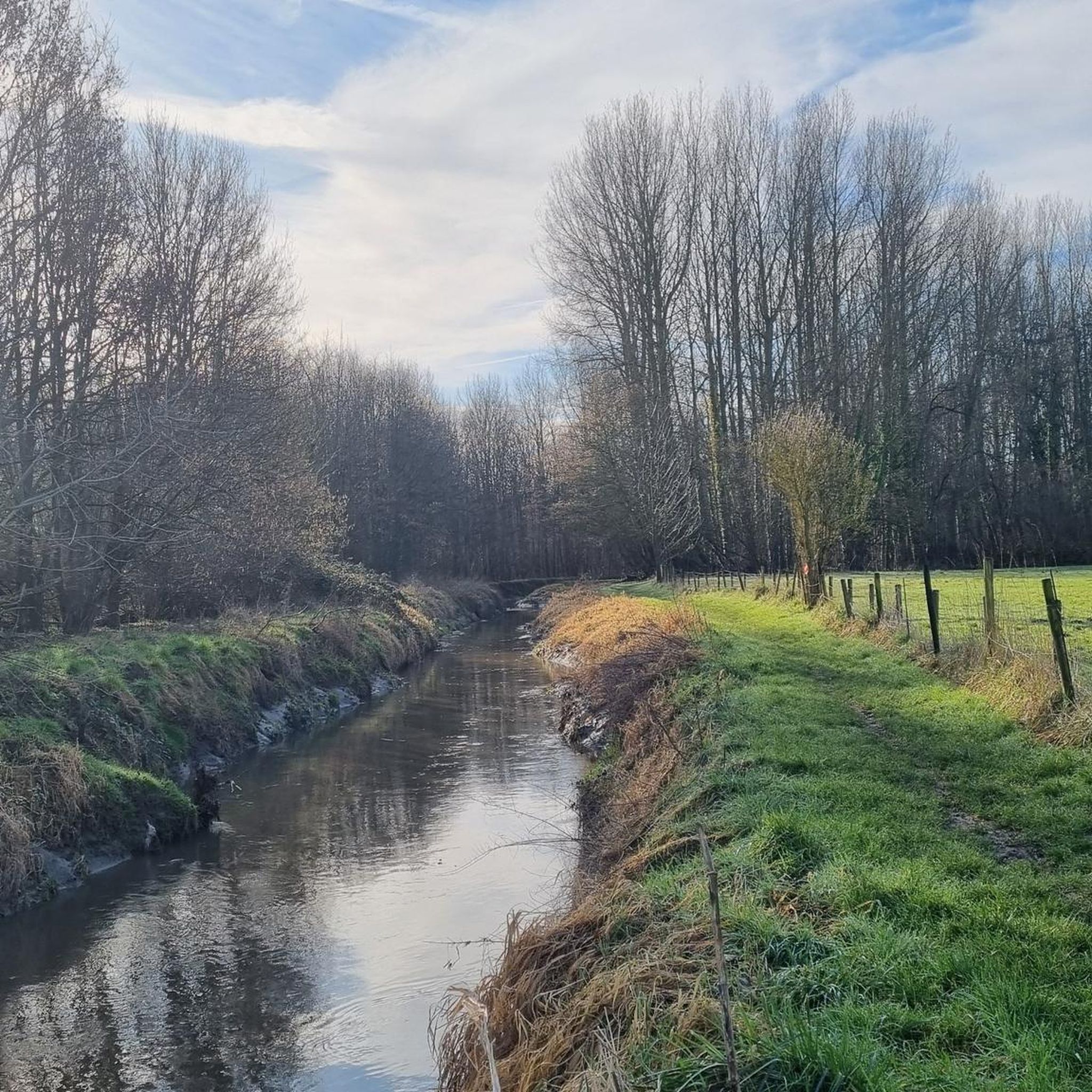
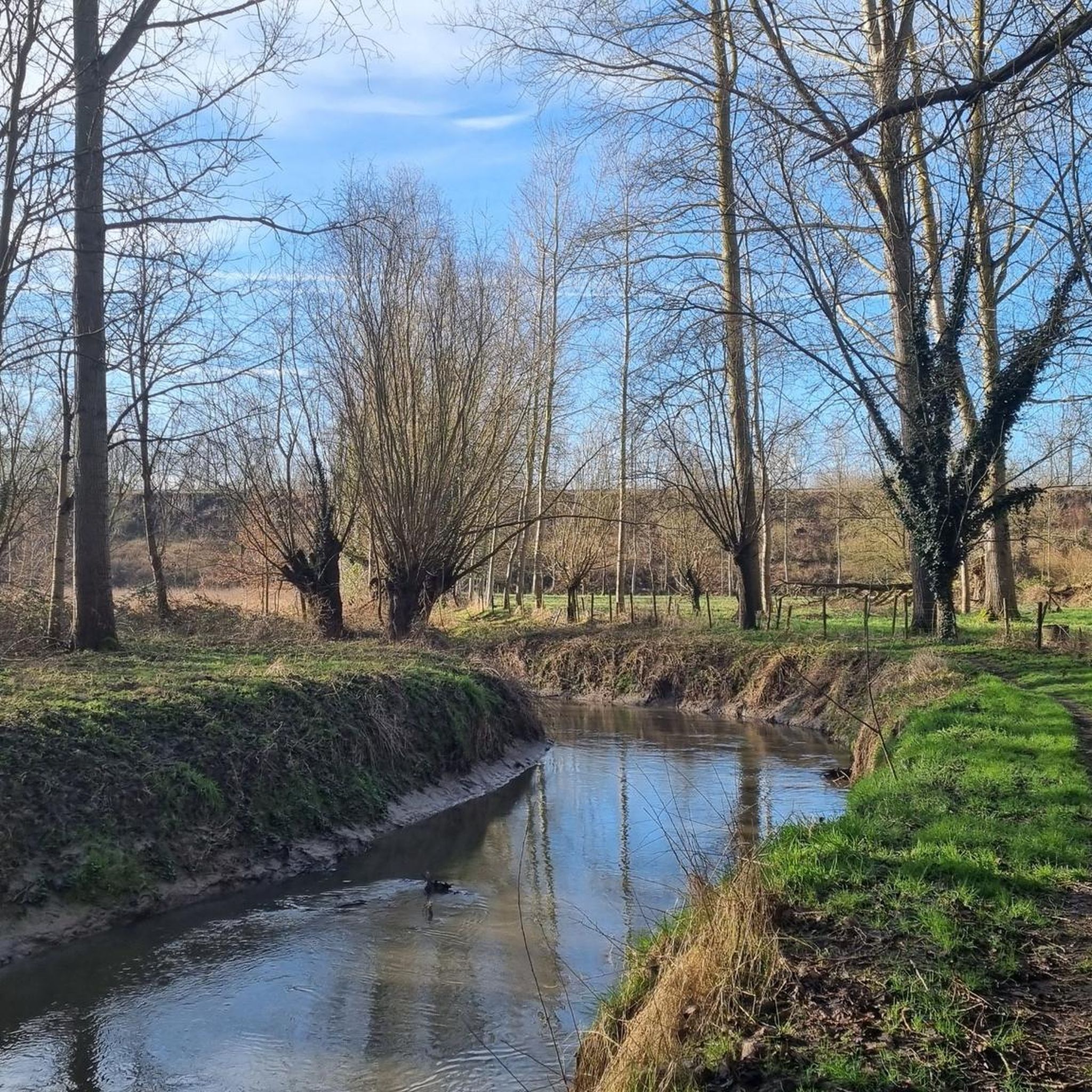
The Dormaelbeek originates at an altitude of 95 meters in Walshoutem and meanders through various sub-municipalities of Landen before finally merging with the Kleine Gete in Zoutleeuw.
3
0
Probably already in the Middle Ages and certainly from the 17th century onwards, the wet valley of the Dormaalbeek and the Zeyp was used by the villagers of Attenhoven and Rumsdorp as hay meadows, hence the name 'Beemden'. After WWII, land use changed. The wet areas became unprofitable for agriculture and were abandoned. The hay meadows were drained and used as pasture for cattle or sheep. Certain parts were planted with poplars. Here and there you can still find remnants of former hay meadows, but from the 1960s onwards, the appearance of the Beemden changed drastically, and currently there are about seven distinct biotopes. This rich variety ensures a great diversity of wild species. Organisms from both wet and dry soils, from running and stagnant water, from forest and hay meadow feel at home there.
3
0

Late 19th-century Holy Cross Chapel or Walho Chapel with a white horse chestnut as the chapel tree. The chapel is located on a small square formed by the intersection of Bormansstraat and Walhostraat. The chapel dates from 1899 and was reportedly built on the remains of the old walls of a former field chapel from 1780. The maintenance of the chapel has been carried out for more than half a century by the Muls-Menten-Petré family, see earlier plaque with thanks from 1924. A white horse chestnut has been planted on the southern choir side as the chapel tree. Source: INVENTARIS ONROEREND ERFGOED 2026: Heilige Kruiskapel met witte paardenkastanje als kapelboom [online], https://id.erfgoed.net/erfgoedobjecten/307449
3
0
The mill is known by several names, including Jeancour Mill, Janshoven Mill, and Grégoire Mill. Take a walk to the building, even if the mill itself is unused. You'll see the stream meandering beautifully, the buildings are all worth a visit, and you can greet the goats and other horses. It's worth the detour.
6
0
Tuff stone building, almost entirely constructed during the second half of the 13th century; massive tower, three naves of three bays each, and a rectangular choir flanked by sacristies. A closed tower with three stories, later fitted with strong corner buttresses; an inaccessible ground floor, covered with ribbed vaults featuring a beautiful keystone with a relief depicting the Paschal lamb; the upper floors are accessible via stairs in the east and south walls. The nave is connected to the aisles by distinctive round arches, the profile of which continues uniformly down to the floor; small, off-axis basket-arch windows under the flat ceiling. The aisles were rebuilt in 1925 on the foundations of the earlier ones, which were destroyed at the end of the 18th century; a Neo-Romanesque entrance portal. A two-bay deep choir in Gothic style, on a rectangular plan similar to that of Walsbets, with five simple two- or three-light windows. Restoration by architect Dehaies in 1925 (facade stone in the choir). Furniture. Two paintings in the choir (17th or 18th century); on the south side altar, a folkloric statue of Saint Amand (17th century). Block altar of sandstone decorated with geometric motifs, supposedly Merovingian but probably from the 10th century (?), baptismal font in Romanesque tradition (13th or 14th century). Inventory of Immovable Heritage: Parish Church of Saint Amand, https://id.erfgoed.net/erfgoedobjecten/43469
6
0
Also visible is the private driveway that begins on Wezerenstraat, near the former municipal school and teacher's residence. It is enclosed by a gate and can be seen between the photos.
7
0
There wasn't much to be found about this farm, but enough to warrant a comment. Because I think it's worth a highlight. One of the things that immediately stands out is that there's a chapel next to it. And thanks to the Lourdes Grotten website, we know who maintains it, that it's being renovated bit by bit, and that you can light a novena candle there—but you could find out for yourself. More at https://lourdesgrotten.com/2016/08/03/landen-wezeren-wezerenstraat-rechts-van-huis-nr-335-3-8-16/comment-page-1/ And what about the farm itself? That turned out to be a different story, even though it's still the most interesting one to me. Well, we know it's the Vandevelde enclosed square farm, and we know this because its ground plan was used as an illustration of "the enclosed square farm" in the extensive publication "Proud of the Farm from Here - Historical Farms in South Hageland" by the Center for Agricultural History at https://www.rlzh.be/assets/afbeeldingen/rl-zuidhageland/Publicaties/Fier%20op%20de%20hoeve%20van%20hier%20-%20Wetenschappelijk%20rapport.pdf This same drawing is also mentioned in other documents and reports. And then there's a thesis, "Analysis of the Development and Differentiation of the Landscape Along the Belgian Language Border. Case Study: Haspengouw: Landen and Hannut," which includes a photo of the farm gate, confirming its identity. Details about its history are always welcome. The farm at this address is registered to a farmer named Vandevelde. However, the previously mentioned record about the chapel lists a different name. Still, it seems highly unlikely that the chapel and farm are separate, as they are located next to each other with no adjacent buildings. And more importantly, the stone is identical.
7
0
Frequently Asked Questions
How many hiking trails are available around Landen?
Landen offers a wide selection of routes, with over 190 hiking trails recorded on komoot. These range from easy strolls through agricultural fields to more moderate excursions exploring historical sites.
What kind of terrain and difficulty can I expect on hikes in Landen?
The hiking trails in Landen are characterized by gentle hills, open countryside, and small woodlands. Elevations are generally low, making many routes accessible. You'll find a mix of easy (over 110 routes) and moderate (around 70 routes) options, with a few more challenging trails for experienced hikers.
Are there family-friendly hiking options in Landen?
Yes, Landen's generally low elevations and gentle terrain make many of its trails suitable for families. Look for the numerous easy-rated routes, which often pass through open fields and offer pleasant walks without significant climbs. For example, the Brasserie De Rietgors – Hay meadow in De Beemden loop from Landen is an easy 6.2 km trail perfect for a family outing.
Can I bring my dog on the hiking trails in Landen?
Most trails in Landen are dog-friendly, especially those through open countryside and woodlands. However, it's always advisable to keep your dog on a leash, particularly when passing through agricultural areas or near livestock. Always check local signage for any specific restrictions.
What are some notable landmarks or natural features I can see while hiking in Landen?
Landen's trails often lead past historic churches, ancient hollow ways, and agricultural landscapes. You can also explore natural attractions like Lake Het Vinne, which features a boardwalk, or visit the Haut-Geer Nature Reserve. For panoramic views, consider visiting the De Pallox Observation Tower.
Are there circular hiking routes available in Landen?
Yes, many of Landen's hiking routes are designed as loops, allowing you to start and end at the same point. A popular moderate circular route is the Church of Wezeren – Walhokapel loop from Landen, which covers 10.3 km and offers views of rural churches and local scenery.
What is the best time of year to go hiking in Landen?
The best time for hiking in Landen is generally from spring to autumn (April to October) when the weather is mild and the countryside is vibrant. Winter hiking is also possible, but trails might be muddy, and some paths could be less accessible due to weather conditions.
Are there any easy hikes suitable for beginners in Landen?
Absolutely. Landen has over 110 easy-rated routes. A great option for beginners is the Brasserie De Rietgors – Hay meadow in De Beemden loop from Landen, an easy 6.2 km trail with minimal elevation gain, offering a pleasant introduction to the region's landscapes.
What do other hikers enjoy the most about hiking in Landen?
The area is highly rated by the komoot community, with an average score of 4.3 stars from over 270 reviews. Reviewers often praise the quiet, varied landscapes, the mix of open fields and small woodlands, and the historical sites encountered along the paths.
Are there any hikes that pass by a pub or cafe in Landen?
While specific routes passing directly by pubs aren't explicitly detailed, many trails in Landen start or end near villages where local establishments can be found. The Brasserie De Rietgors – Hay meadow in De Beemden loop from Landen, for instance, suggests a starting point near a brasserie, offering a convenient stop before or after your walk.
Is public transport available to reach hiking trails in Landen?
Landen has local public transport options, including bus services, that connect to various parts of the region. While specific trailheads might require a short walk from a bus stop, it is generally possible to access many hiking areas using public transport. It's recommended to check local bus schedules for the most up-to-date information.
Where can I find parking for hiking trails in Landen?
Parking is generally available in the towns and villages where many trails begin. Look for designated parking areas near churches, community centers, or public spaces. For example, the Hélécine Estate, though not a trailhead itself, is a known parking spot in the wider area that could serve as a base for exploring nearby trails.
Most popular attractions around Landen

Get inspired with the komoot mobile app


Explore more
Browse the best Hikes in other regions.
