The best MTB trails around Vahlde
4.7
(223)
396
riders
118
rides
Mountain biking around Vahlde offers diverse natural landscapes, characterized by heathlands, forests, and varied terrain. The region features undulating dunes and open fields, providing a range of experiences for mountain bikers. These natural features contribute to a network of routes suitable for different skill levels. The landscape composition supports both leisurely rides and more engaging singletrack experiences.
Best mountain bike trails around Vahlde
- The most popular mountain bike trail is Fintau Bridge – Fintau Crossing at Wohlsberg loop from Fintel…
Last updated: November 1, 2026
8
riders
Moderate mountain bike ride. Advanced riding skills necessary.
4.5
(2)
7
riders
24.0km
01:40
30m
30m
Moderate mountain bike ride. Advanced riding skills necessary.

7
riders
26.1km
01:46
50m
50m
Moderate mountain bike ride. Advanced riding skills necessary.
5
riders
Moderate mountain bike ride. Good fitness required. Advanced riding skills necessary.
3.0
(1)
4
riders
33.3km
02:08
100m
100m
Moderate mountain bike ride. Good fitness required.
Get access to more routes and recommendations from other explorers.
Already have an account?
Our route recommendations are based on thousands of hikes, rides, and runs completed by other people on komoot.
Start today with a free account
Your next adventure awaits.
Tips from the Community

The erected large boulder points to a former boundary stone, which for a long time marked a disputed border line. Today, you can spend wonderful time here on the bike and take a little break at the rest area.
1
0


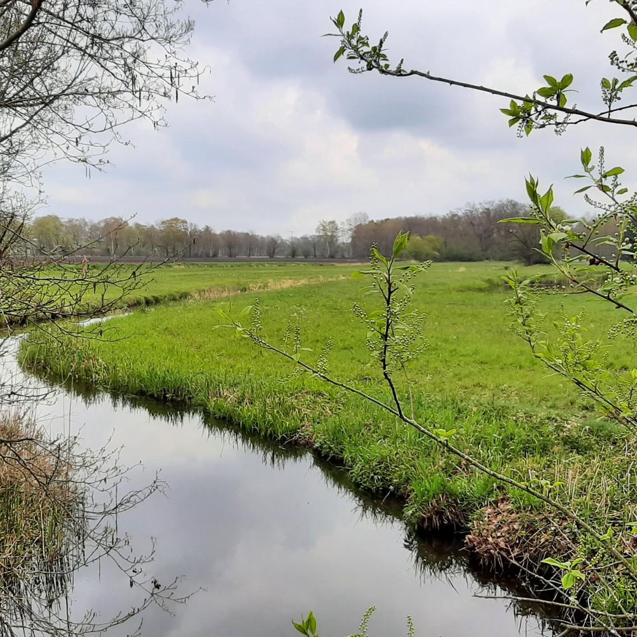
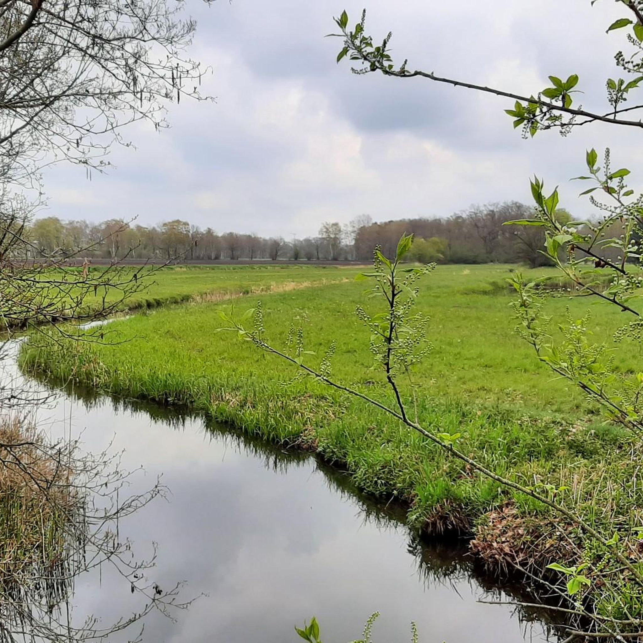
It's nice here
0
1

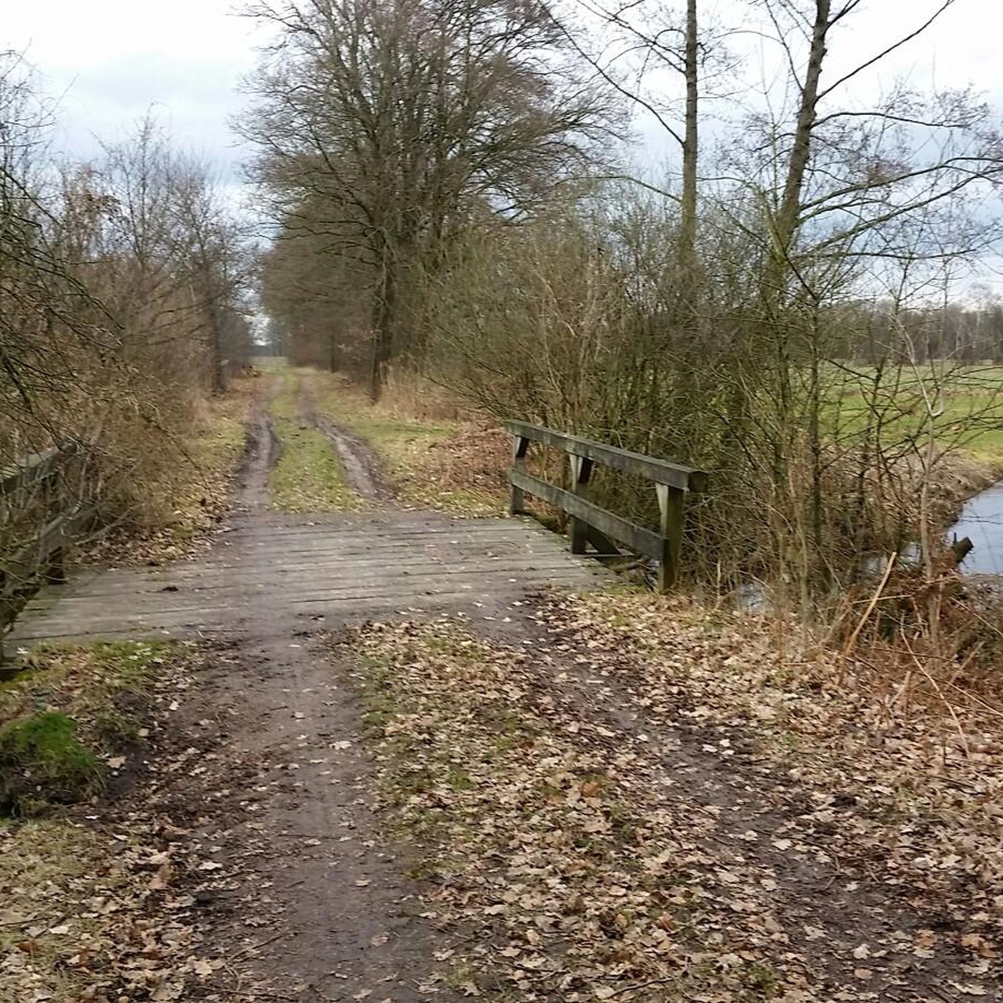
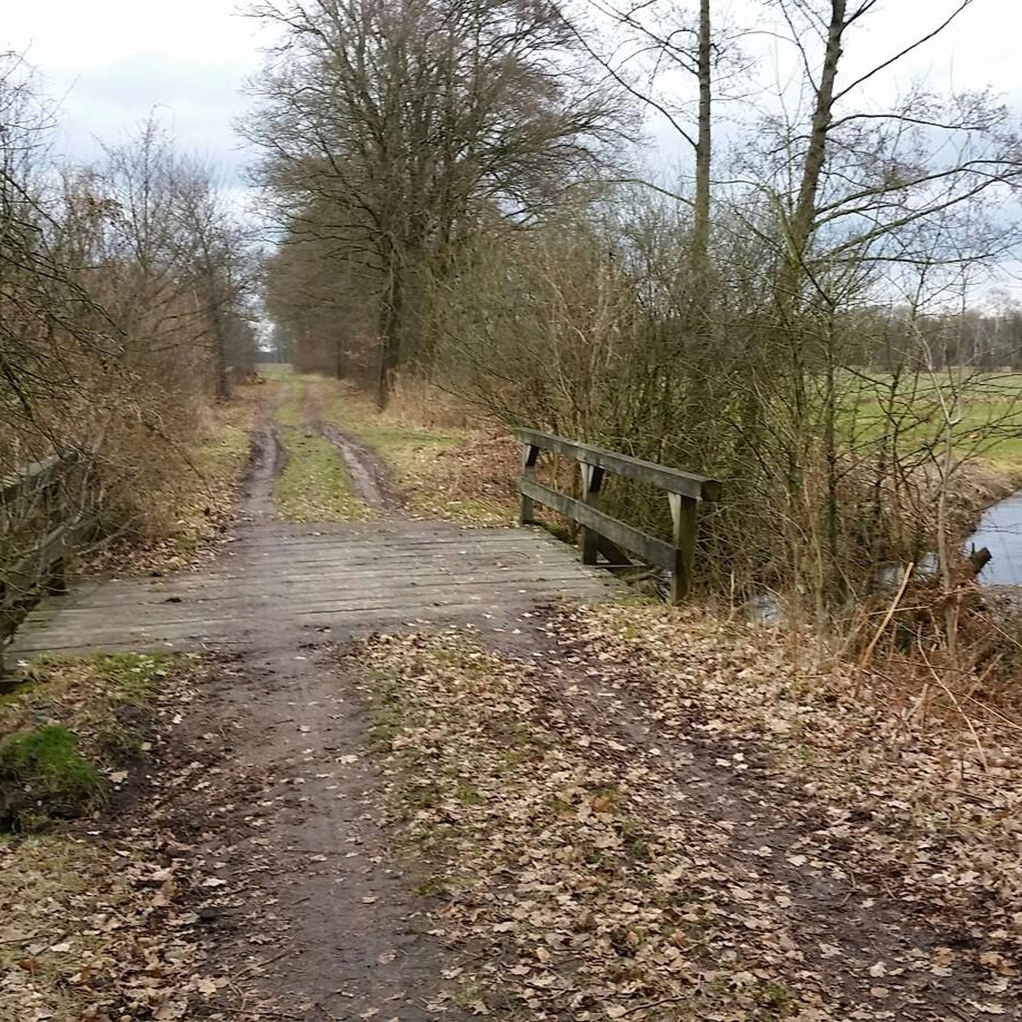
An old postal route ran here. The crossing used to be a ford.
0
1

Rest area with a bit of statistics, well...
2
0
This Wümme crossing even makes history, see picture.
2
1
This Wümme crossing has existed since 1670 as part of the old Harburg-Nienburg-Amsterdam postal route. This crossing connected the stations of Welle and Visselhövede. Source: Information stone at the Wümme crossing
2
1
Frequently Asked Questions
How many mountain bike trails are available around Vahlde?
There are nearly 140 mountain bike trails around Vahlde, offering a wide range of options for different skill levels. This includes 48 easy, 88 moderate, and 3 difficult routes.
What kind of terrain can I expect on mountain bike trails in Vahlde?
The terrain around Vahlde is diverse, featuring natural heathlands, dense forests, and varied landscapes with undulating dunes and open fields. This mix provides both leisurely rides and more engaging singletrack experiences.
Are there any family-friendly mountain bike trails in Vahlde?
Yes, Vahlde offers several easy mountain bike trails suitable for families. An example is the Sundial in the Heath Garden – Schneverdingen Town Fountain loop from Finteler Wacholderlandschaft, which is 30.2 km long and takes about 1 hour 33 minutes to complete, leading through scenic heath gardens.
Can I find circular mountain bike routes in the Vahlde area?
Many of the mountain bike routes around Vahlde are designed as circular loops. For instance, the moderate Green Field in Lüneburg Heath – Melkhus Fintel loop from Fintel is a 33.3 km circular path that winds through open fields and heath landscapes, offering scenic views.
What do other mountain bikers say about the trails in Vahlde?
The mountain bike trails in Vahlde are highly rated by the komoot community, with an average score of 4.7 stars from over 230 reviews. Riders often praise the varied terrain, natural beauty of the heathlands, and the well-maintained paths suitable for different abilities.
Are there any natural attractions or viewpoints along the mountain bike routes?
Yes, the region boasts several natural attractions. You can find the Vareler Heath with its undulating dunes, or visit the Birdwatching Tower in Tister Bauernmoor for expansive views of the moor landscape. These areas provide scenic stops during your ride.
Are there any historical or cultural landmarks to see while mountain biking in Vahlde?
Yes, you can encounter historical sites and cultural landmarks. The Sittensen Watermill and Mill Pond is a notable man-made monument, and the Historic Wümme Crossing offers a glimpse into the region's past. These points of interest add cultural depth to your ride.
Are there any longer, more challenging mountain bike routes for experienced riders?
For experienced riders seeking a longer challenge, the moderate View from Wilseder Berg – View of the Totengrund loop from Lauenbrück covers 73 km and takes approximately 4 hours 34 minutes. This route offers significant elevation changes and diverse landscapes.
What is the best season for mountain biking in Vahlde?
The Vahlde region, particularly areas like Vareler Heide, benefits from a pleasant climate, making it suitable for outdoor excursions. Spring and autumn are often ideal, offering comfortable temperatures and vibrant natural scenery, especially when the heather is in bloom.
Are there any easy mountain bike trails for beginners near Vahlde?
Beginners can enjoy several easy routes. The Riepshof Sheep Barn – St. John's Church, Tostedt loop from Königsmoor is an easy 21.5 km trail that takes about 1 hour 12 minutes, providing a gentle introduction to mountain biking in the area.
What are some notable natural features I might encounter on the trails?
You'll find diverse natural features such as the undulating dunes and heather of Vareler Heide, as well as expansive moor landscapes like Tister Bauernmoor. The trails often weave through forests and open fields, showcasing the natural beauty of the region.
Are there any routes that pass by lakes or ponds?
Yes, some routes may lead near or past the region's water bodies. You can find highlights like Himberg Lake or the Pond in Obere Wümmeniederung Nature Reserve, offering tranquil spots along your ride.
Most popular attractions around Vahlde

Get inspired with the komoot mobile app


Explore more
Browse the best MTB trails in other regions.
