The best MTB trails around Sint-Gillis-Waas
4.1
(50)
867
riders
17
rides
Mountain bike trails around Sint-Gillis-Waas offer a diverse environment for riders, characterized by varied landscapes and an extensive network of routes. The region features agricultural roads in the southern parts, forests in the northwest, and expansive polder landscapes in the northeast. Sint-Gillis-Waas boasts 55 km of marked mountain biking trails, which are part of a larger Waasland network providing over 380 km of interconnected routes.
Best mountain bike trails around Sint-Gillis-Waas
- The most popular mountain bike trail is Clingebos Forest…
Last updated: May 8, 2026
4.2
(27)
423
riders
Moderate mountain bike ride. Good fitness required. Suitable for all skill levels.
5
riders
46.0km
02:40
60m
60m
Moderate mountain bike ride. Good fitness required. Suitable for all skill levels.

Sign up for free
3.0
(1)
2
riders
27.0km
01:29
40m
40m
Easy mountain bike ride. Great for any fitness level. Suitable for all skill levels.
2
riders
Moderate mountain bike ride. Good fitness required. Advanced riding skills necessary.
3
riders
Moderate mountain bike ride. Good fitness required. Advanced riding skills necessary.
Get access to more routes and recommendations from other explorers.
Sign up for free
Already have an account?
Our route recommendations are based on thousands of hikes, rides, and runs completed by other people on komoot.
Start today with a free account
Your next adventure awaits.
Login or Signup

Tips from the Community

The numbers of the border posts on the Belgian-Dutch border run upwards from border post number 1 at the Drielandenpunt in Vaals, to 369 near Retranchement. It's funny that neither the first nor the last post is actually on the border (the evolution of the Zwin is partly responsible for the last post). On almost all posts, the year 1843 is shown. Only in Zeeuws-Vlaanderen are there 7 border posts with a later year, which were placed after land reclamation. The posts are made of cast iron and weigh 372 kilograms. Each post is equipped with the Belgian Lion on the Belgian side and the Dutch Lion with sword and arrows on the other side. And each post has a number. The Belgian-Dutch border is 458 kilometers long. On average, the posts are therefore just over a kilometer apart. source: bestemmingbuitenlucht.nl/
1
0

Beautiful cycle path between Hulst & Sint-Niklaas. Orchards alternate with meadows.
0
0

The tower itself is beautiful. Unfortunately, it's no longer accessible. Vandals make a sport of unscrewing railing screws, so it's dangerous if you don't know how to do it.
0
0

Wonderful route, not much shadow, use sunscreen and battle the wind
0
0


drinking a nice beer
1
0

This forest area offers a beautiful trail for mountain bikers who like a challenge. The Clingebos is a beautiful and varied nature area, where the combination of forest, hills and open field forms an ideal playground for MTB enthusiasts.
0
1

The Drowned Land of Saeftinghe is a tidal area of the Western Scheldt a few km downstream from Antwerp. The largest brackish water salt marsh area in Europe and a Zeeland monument. With a visitors centre in Emmadorp.
2
0
Frequently Asked Questions
How many mountain bike trails are available in Sint-Gillis-Waas?
Sint-Gillis-Waas offers a network of 55 km of marked mountain biking trails. These are part of a larger Waasland network, providing over 380 km of interconnected routes across neighboring municipalities. Within this guide, you'll find 18 curated mountain bike tours.
What kind of terrain can I expect on the mountain bike trails in Sint-Gillis-Waas?
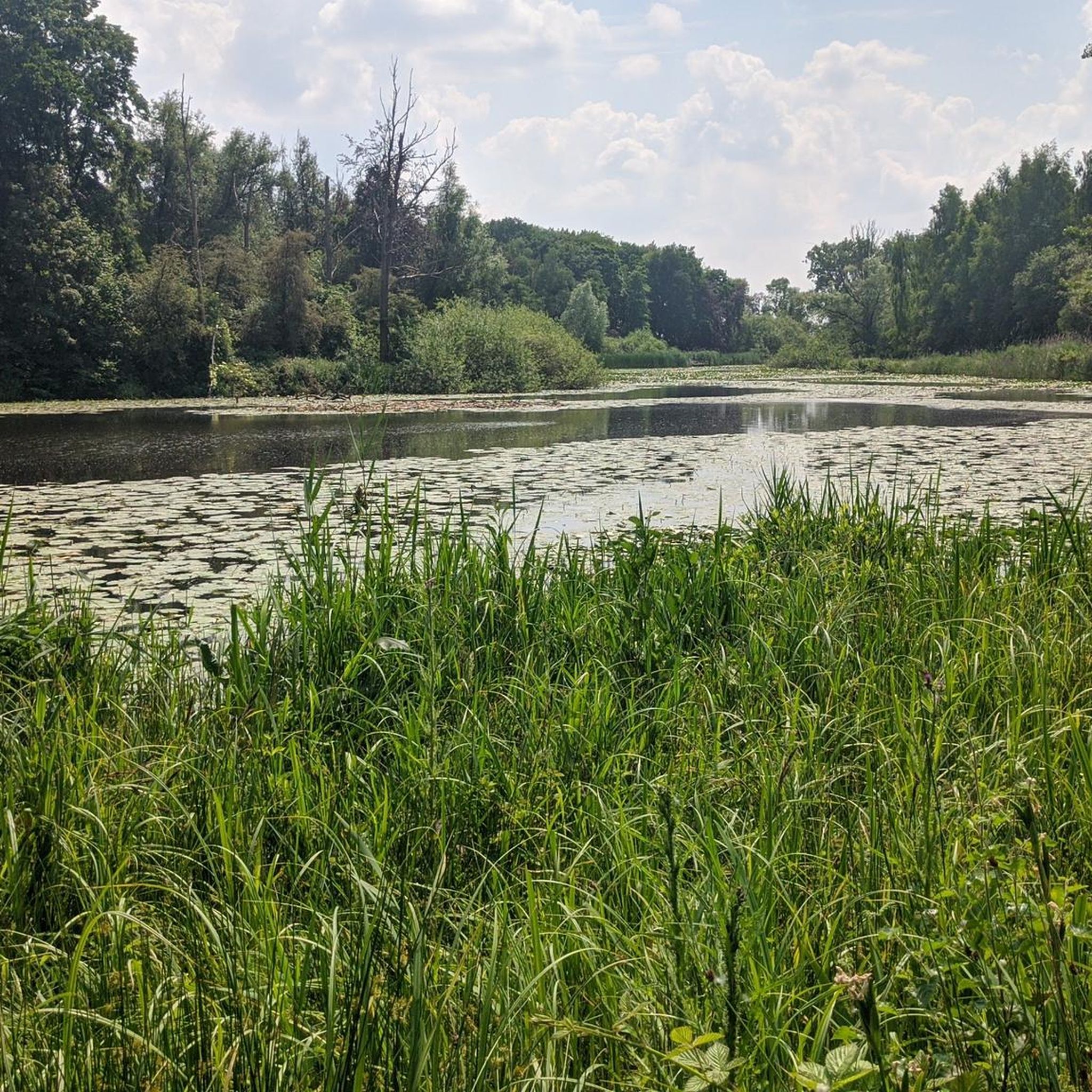
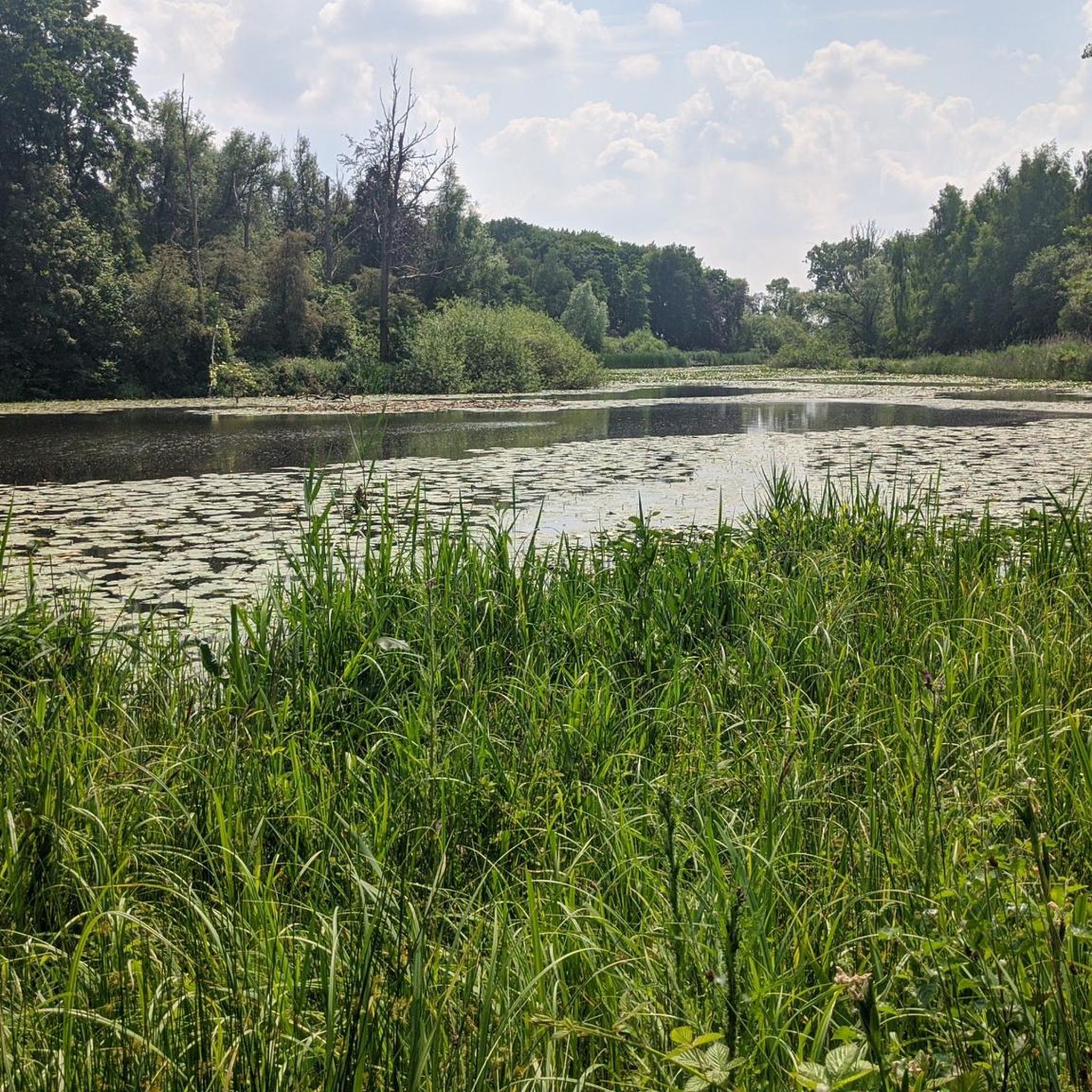
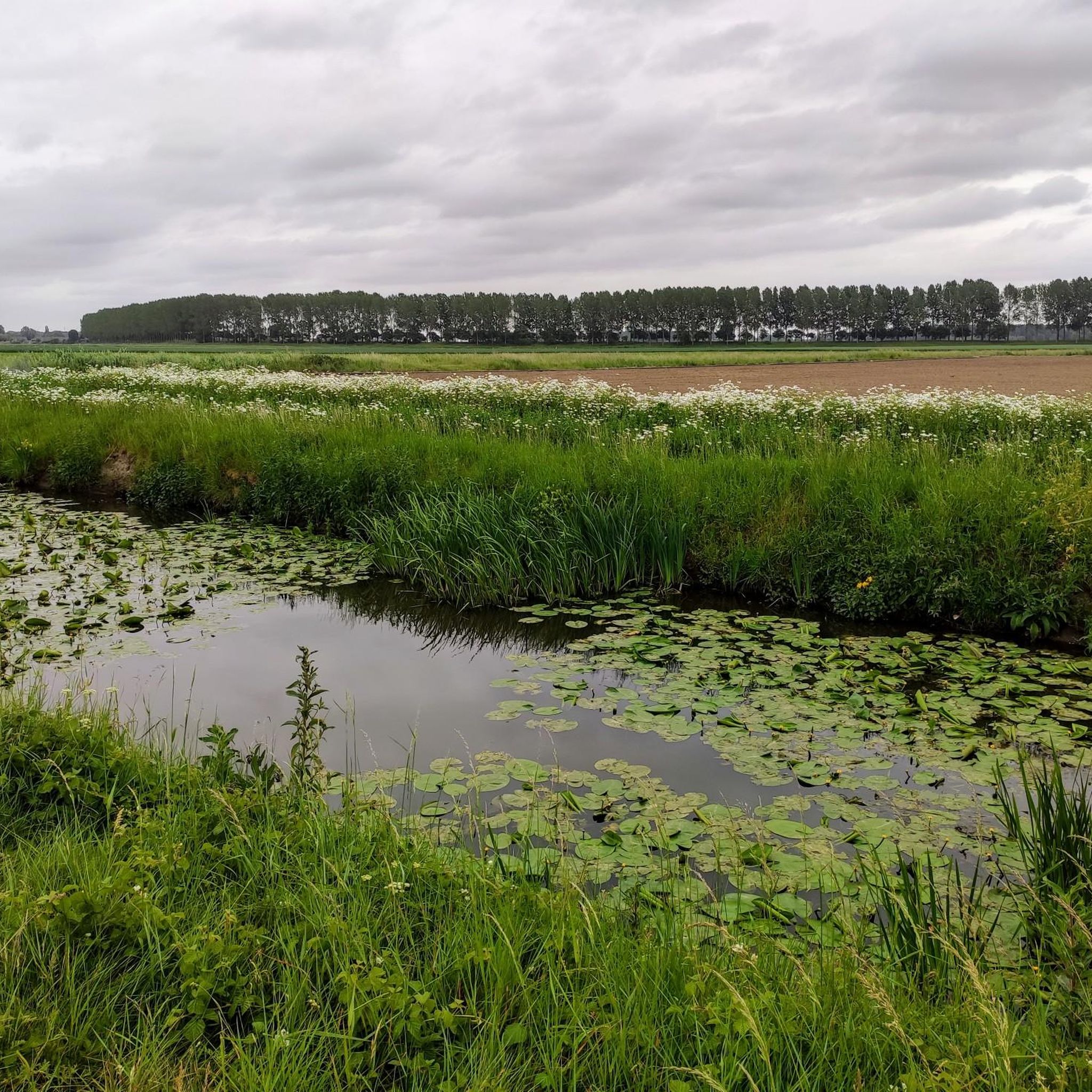
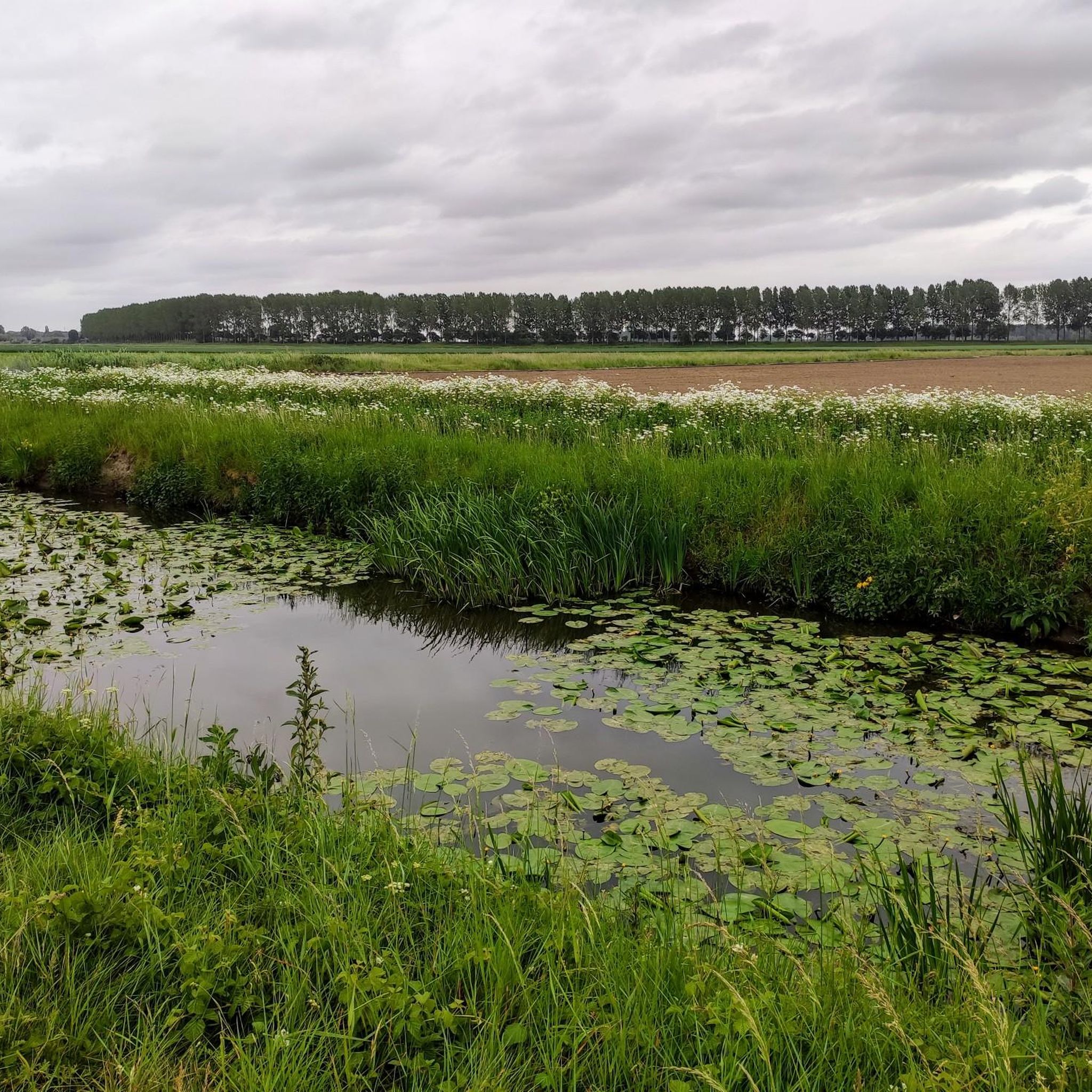
The region features diverse terrain. You'll find agricultural roads in the southern parts, such as Sint-Pauwels and Sint-Gillis-Waas. The northwestern area, De Klinge, is known for its forests, while the northeastern section, Meerdonk, offers expansive polder landscapes. Some routes, like the Stiltepad Gravel Path – Hinnen Singletrack loop from De Klinge, include gravel paths and singletrack sections.
Are there mountain bike trails for different skill levels in Sint-Gillis-Waas?
Yes, the trails cater to various skill levels. While most routes in this guide are classified as moderate, the region also features a dedicated mountain bike funpark at the Houtvoort sports and recreation complex. This technical course includes obstacles with varying difficulty levels: green for basic, blue for challenging, and black for advanced riders, featuring jumps, drops, and steep descents.
What natural features and landmarks can I discover along the mountain bike trails?
You can explore a variety of natural and historical sites. The Trompkapel – MTB Playground loop from Sint-Gillis-Waas passes by the Stropersbos, a significant forest area. Other routes may lead you past the Roomanmolen, Flanders' tallest stone windmill, or Fort Bedmar. The region also features polder landscapes with green agrarian fields and various waterways.
Are there any historical sites or castles near the mountain bike routes?
Yes, the region has several historical points of interest. Fort Bedmar is located along the red mountain bike route. You can also find several castles nearby, such as Cortewalle Castle, Hof ter Saksen Castle, and Walburg Moated Castle, which are worth exploring.
When is the best time of year to go mountain biking in Sint-Gillis-Waas?
Sint-Gillis-Waas is enjoyable for mountain biking for much of the year. However, it's advisable to avoid certain routes, particularly those with muddy agricultural roads like parts of the Green route, during wet weather. Sunny winter days can be ideal for these routes when the ground is firmer.
Are there any family-friendly mountain bike options in Sint-Gillis-Waas?
While specific 'family-friendly' routes aren't explicitly highlighted, the diverse network includes easier sections and the mountain bike funpark at Houtvoort offers green-level obstacles suitable for basic skills, which could be a fun option for families. The overall flat terrain of many routes also makes them accessible.
What do other mountain bikers enjoy the most about mountain biking in Sint-Gillis-Waas?
The area is highly rated by the komoot community, with an average score of 4.3 stars from over 70 reviews. Reviewers often praise the varied terrain, from forests to polders, and the extensive, interconnected network of trails that offer diverse experiences.
Are there any circular mountain bike routes available?
Yes, many of the mountain bike routes in Sint-Gillis-Waas are designed as loops, offering circular experiences. Examples include the Clingebos Forest Path – Niemandsland Observation Tower loop from Nieuw Namen and the Clingebos Forest Path – Krekeltrail loop from Meerdonk, allowing you to start and end at the same point.
Is parking available near the mountain bike trails in Sint-Gillis-Waas?
While specific parking locations for all trails are not detailed, the Houtvoort sports and recreation complex, which hosts the mountain bike funpark, is a known facility in the area and likely offers parking options for visitors accessing the trails.
What is the longest mountain bike trail in this guide?
The longest mountain bike trail featured in this guide is the Stiltepad Gravel Path – Hinnen Singletrack loop from De Klinge, which covers a distance of 49.6 km (30.8 miles).
Are there any trails that pass through quiet or serene areas?
Yes, the Blue loop, mentioned in the regional research, follows an old railway route and extends into Dutch water catchment areas, featuring serene quiet zones. Similarly, the Stiltepad Gravel Path – Hinnen Singletrack loop from De Klinge is known for its quiet sections.
Most popular routes around Sint-Gillis-Waas
Most popular attractions around Sint-Gillis-Waas

Get inspired with the komoot mobile app


Explore more
Browse the best MTB trails in other regions.
