The best mountain hikes around Stavelot
4.3
(11)
24
hikers
7
hikes
Mountaineering routes around Stavelot traverse the rugged terrain of the Upper Ardennes and the adjacent Hautes Fagnes Natural Park. The region is characterized by dense forests, deep valleys, and significant elevation changes, forming what geologists refer to as the "Stavelot massif." Numerous waterfalls, such as the Coo Waterfall and Bayehon Waterfall, punctuate the landscape, offering varied challenges and scenic viewpoints for mountaineers.
Best mountaineering routes around Stavelot
- The most popular mountaineering route is Bayehon Waterfall – Nez de Napoléon Viewpoint…
Last updated: November 9, 2026
4.8
(4)
7
hikers
17.7km
05:04
410m
410m
Hard mountaineering route. Very good fitness required. Mostly walkable paths. Sure-footedness required.
3.0
(1)
1
hikers
25.6km
07:16
560m
560m
Hard mountaineering route. Very good fitness required. Mostly walkable paths. Sure-footedness required.

5.0
(1)
7
hikers
7.82km
02:11
150m
150m
Moderate mountaineering route. Good fitness required. Easily walkable paths.
5.0
(1)
3
hikers
Moderate mountaineering route. Good fitness required. Easily walkable paths.
4.0
(2)
4
hikers
14.3km
04:01
290m
290m
Moderate mountaineering route. Good fitness required. Easily walkable paths.
Get access to more routes and recommendations from other explorers.
Already have an account?
Our route recommendations are based on thousands of hikes, rides, and runs completed by other people on komoot.
Start today with a free account
Your next adventure awaits.
Popular around Stavelot
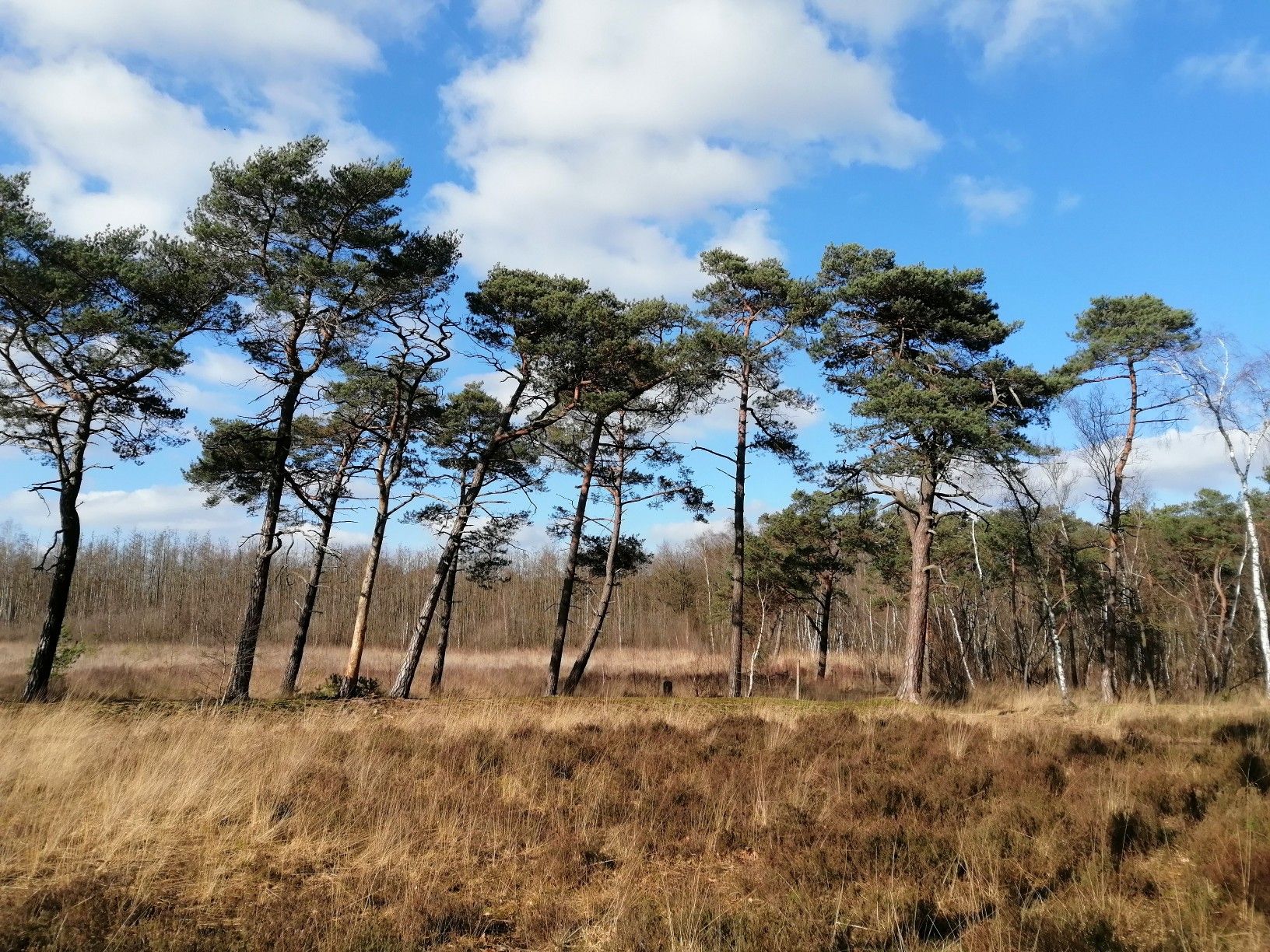
From Flanders to the Ardennes — GR 5 in Belgium
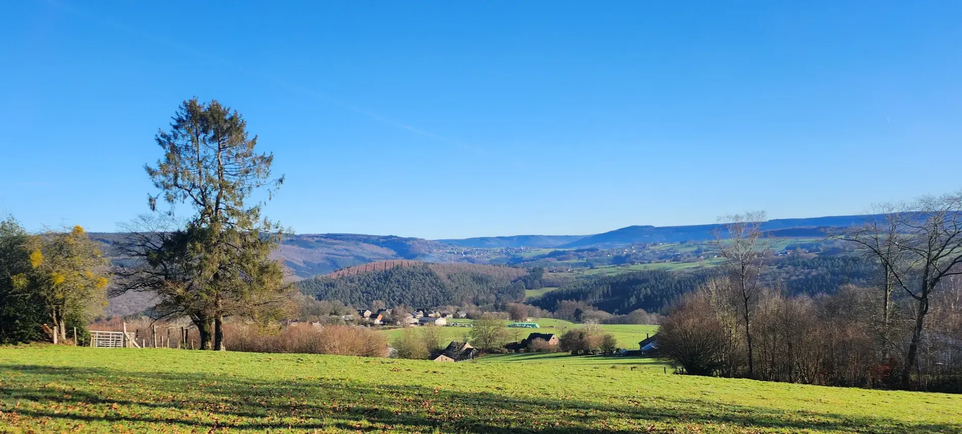
A waymarked trail all year round — Ultra Tour des Sources
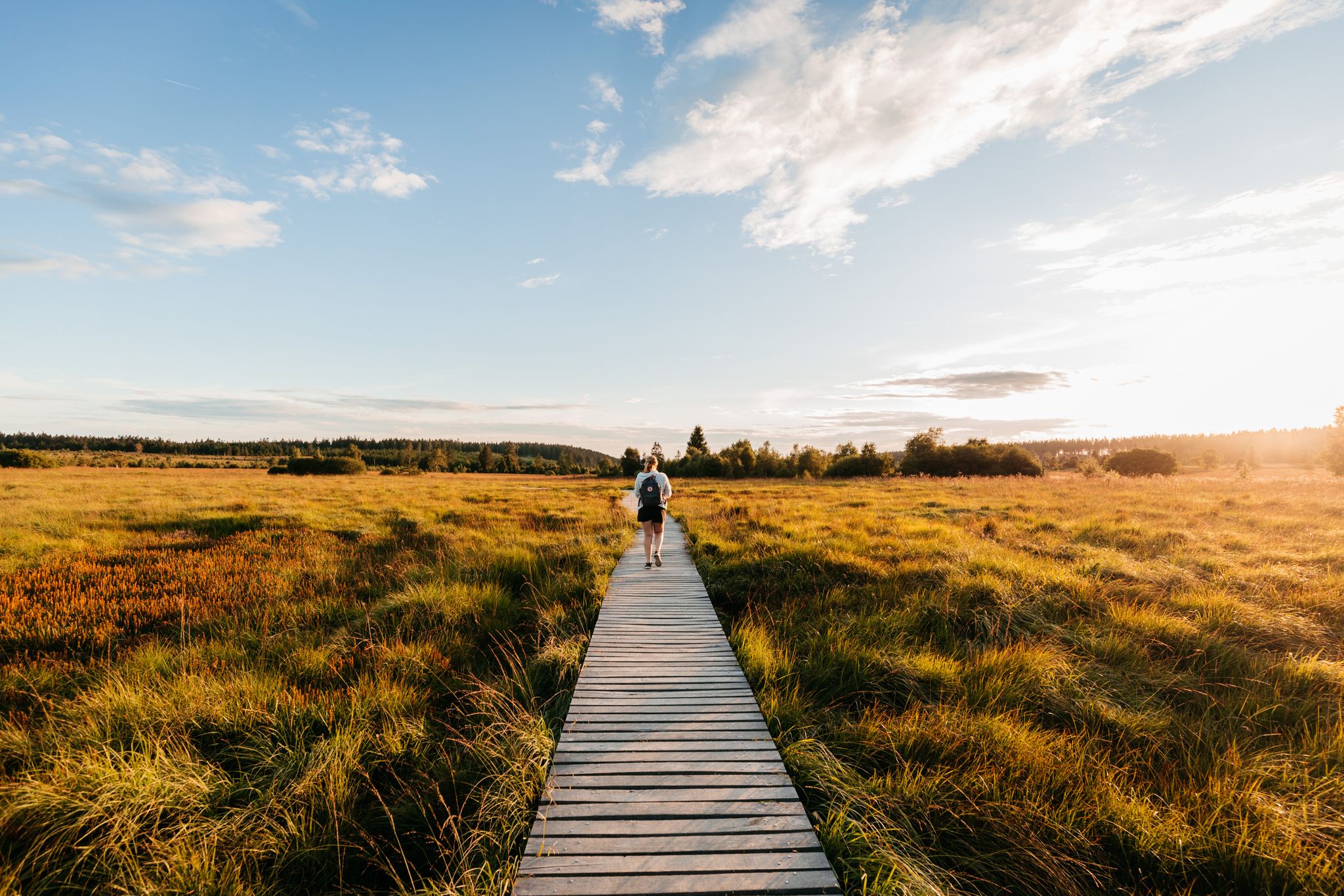
Unspoilt nature and wide views – hiking in Wallonia
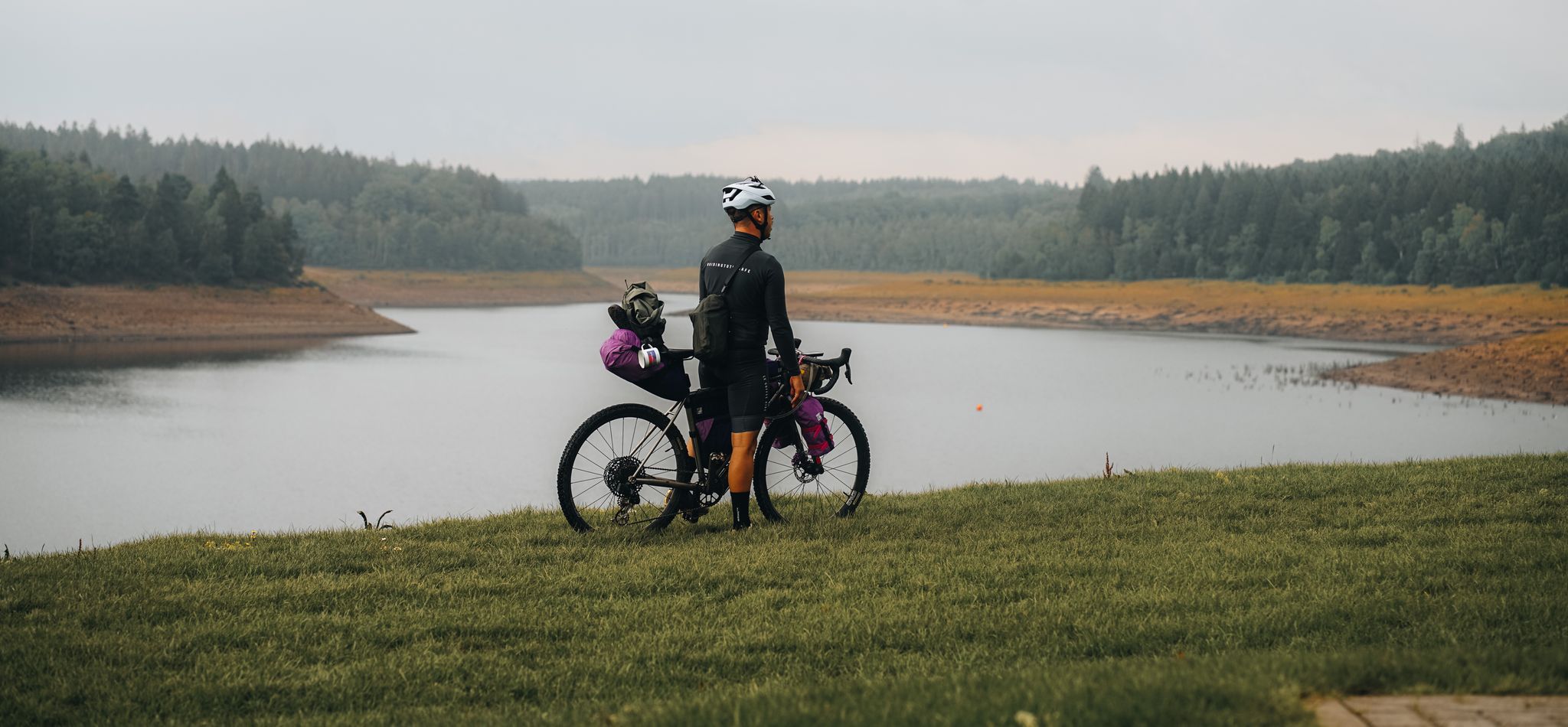
Bikepacking through the Eifel – The Reservoir Loop
Fries and trails special in the Belgian Ardennes
Hiking around Stavelot
Road Cycling Routes around Stavelot
Cycling around Stavelot
Running Trails around Stavelot
MTB Trails around Stavelot
Other adventures around Stavelot


Tips from the Community

Hard to see, but it remains the highest waterfall in Belgium, of course 🇧🇪
0
0

On August 26, 1937, Léon Rinquet's accommodation was destroyed by fire during a thunderstorm. With the support of his friends, he built a new, albeit more simply equipped, dwelling. During the Second World War, he sought refuge in Hockai. During this time, his hut was used by German soldiers as a target for shooting practice and was destroyed again. Even after the end of the war, Rinquet held on to his life in the moor. Although he was penniless, he did not give up the plan of rebuilding. With the help of advance payments on the war compensation he was entitled to, he built his accommodation for a third time. As he grew older, he spent the winter in Xhoffraix and otherwise returned to his dwelling in the moor. Léon Rinquet died on June 12, 1974, at the age of 83. He found his final resting place in the cemetery of Xhoffraix.
25
0

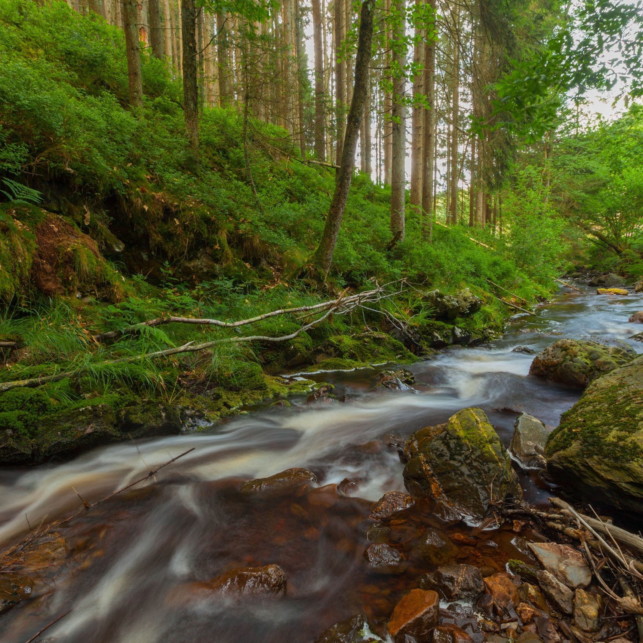
A bench, a wild stream, a forest... a beautiful place to stop for a moment and enjoy the beautiful surroundings.
3
0

The Trôs Marets is a tributary of the Warche River, approximately 5 kilometers long. It's a popular destination for hikers. This route takes you 14 km through the High Fens and the Trôs Marets Valley. You'll walk through a beautiful nature reserve, surrounded by rugged cliffs, dense forests, and a babbling mountain stream with beautiful waterfalls. A hike through the Trôs Marets Canyon is highly recommended. You can, of course, start anywhere using the Komoot route planner. Most hikers start the route at Auberge du Moulin or the Ferme Libert hotel/restaurant. After the hike, there's an opportunity to enjoy a snack and a drink. The Auberge du Moulin is particularly charming and open every day except Christmas Day. Important: Sturdy hiking boots and gloves are essential for holding onto the steel cables, which are not always well-maintained.
0
1

So cool to see this and to hike here.
2
0
Really very beautiful.
1
0
Peace and nature reign here.
1
0
The trail offers a variety of wooded areas, open views, streams, and rock formations, along with a combination of climbs and descents that make the route challenging yet enjoyable. Sturdy hiking boots are recommended due to the technical nature and potential slipperiness of the trail. It's an adventurous route that evokes the feeling of "mountain hiking" in Belgium.
2
0
Frequently Asked Questions
How many mountaineering routes are available around Stavelot?
There are over 10 mountaineering routes around Stavelot, traversing the rugged terrain of the Upper Ardennes and the Hautes Fagnes Natural Park. These routes offer a range of difficulties, with 5 moderate and 2 difficult options available.
What is the best time of year for mountaineering in Stavelot?
The region around Stavelot offers opportunities for outdoor activities throughout the year. Spring and autumn provide pleasant temperatures and vibrant scenery, while summer is ideal for longer days. Winter mountaineering is possible but requires appropriate gear due to potential snow and ice conditions, especially in the higher elevations of the Hautes Fagnes.
Are there any family-friendly mountaineering routes in Stavelot?
While many routes require good fitness and sure-footedness, some moderate options can be suitable for families with older children. For example, the Hoëgne Valley – Wooden Bridges of the Hoëgne Valley loop from Hoëgne is a moderate 7.6 km route that takes about 2 hours to complete, offering scenic views without extreme difficulty.
Can I bring my dog on the mountaineering trails around Stavelot?
Many trails in the Stavelot region are dog-friendly, allowing you to explore the natural beauty with your canine companion. However, it's always advisable to keep dogs on a leash, especially in nature reserves like the Hautes Fagnes, and to check specific route regulations before you go. Ensure your dog is fit enough for the chosen route, as some involve significant elevation changes.
Are there any circular mountaineering routes in Stavelot?
Yes, many mountaineering routes around Stavelot are designed as loops, allowing you to start and end at the same point. A challenging option is the Bayehon Waterfall – Nez de Napoléon Viewpoint loop from Ardennes, an 18 km difficult trail with panoramic views. For a moderate experience, consider the Warche Waterfall – Waterfall in the Eifel loop from Verviers.
What scenic viewpoints or natural attractions can I expect on these routes?
The mountaineering routes around Stavelot are rich with natural attractions. You can expect to encounter impressive waterfalls like the Bayehon Waterfall and the Coo Waterfall. The region also features deep valleys such as the Trôs Marets Valley and the picturesque Hoëgne River. Many trails offer rewarding panoramic views, especially from higher points like the Nez de Napoléon.
Are there any easy mountaineering routes for beginners?
While the term 'mountaineering' often implies a challenge, Stavelot does offer some less strenuous options that are still rewarding. There are 3 easy routes available, which are great for beginners or those looking for a more relaxed experience. These routes typically have less elevation gain and shorter distances, allowing you to enjoy the landscape without extreme exertion.
What do other mountaineers enjoy most about the routes in Stavelot?
The mountaineering routes in Stavelot are highly rated by the komoot community, with an average score of 4.4 stars from over 10 reviews. Reviewers often praise the diverse terrain, the beauty of the waterfalls and valleys, and the challenging yet rewarding nature of the trails. Many appreciate the extensive forests and the sense of adventure offered by the 'Stavelot massif'.
Are there any routes that pass by cafes or pubs?
While specific routes may not directly pass by cafes or pubs, the extensive trail network around Stavelot means you are often not far from local villages. Many mountaineering tours start or end near Stavelot itself or other towns like Malmedy, where you can find various establishments to refuel after your hike. It's a good idea to check the map for amenities near your chosen trailhead.
How can I access the mountaineering trails by public transport?
Stavelot is accessible by public transport, though direct access to all trailheads might require some planning. Buses connect Stavelot to larger towns, and from there, you might be able to reach certain starting points. For routes further afield, such as the Wooden bridge over the Amel River – Wooden Bridge over the Amel loop from Amel, you may need to consider local bus services or a short taxi ride from the nearest public transport hub.
Where can I find parking for the mountaineering trails?
Parking is generally available at or near the starting points of many popular mountaineering trails around Stavelot. Specific parking information is often provided on individual route descriptions. For example, routes starting from towns like Malmedy or Ardennes typically have designated parking areas. It's advisable to check the route details on komoot for the most accurate parking information for your chosen tour.
Are there any particularly challenging or advanced mountaineering routes?
Yes, for experienced mountaineers seeking a challenge, Stavelot offers routes with significant elevation gain and longer distances. The Fraineu Boardwalk Trail – Bayehon Waterfall loop from Malmedy is a difficult 25.5 km trail that takes over 7 hours to complete, featuring varied forest and boardwalk sections and substantial ascent.
Most popular routes around Stavelot
Most popular attractions around Stavelot

Get inspired with the komoot mobile app


Explore more
Browse the best Mountain Hikes & Routes in other regions.
