The best walks and hikes around Urmein
4.5
(238)
1,436
hikers
29
hikes
Hiking around Urmein offers access to varied alpine terrain in the Swiss canton of Grisons. The region is characterized by mountain ridges, clear alpine lakes, and expansive pastures, providing diverse landscapes for exploration. Trails often feature ascents to viewpoints and descents through valleys, showcasing the natural environment. This area provides a range of hiking experiences suitable for different skill levels.
Best hiking trails around Urmein
- The most popular hiking route is Glaser Ridge – Pascuminer Lake loop from Tschappina,…
Last updated: August 5, 2026
4.7
(23)
86
hikers
13.5km
04:49
630m
630m
Moderate hike. Good fitness required. Mostly accessible paths. Sure-footedness required.
5.0
(7)
30
hikers
10.2km
03:22
460m
460m
Moderate hike. Good fitness required. Mostly accessible paths. Sure-footedness required.

Sign up for free
4.3
(4)
28
hikers
7.72km
02:46
360m
360m
Moderate hike. Good fitness required. Mostly accessible paths. Sure-footedness required.
4.0
(3)
14
hikers
6.79km
02:17
340m
340m
Moderate hike. Good fitness required. Mostly accessible paths. Sure-footedness required.
4.3
(3)
17
hikers
8.47km
02:44
400m
400m
Moderate hike. Good fitness required. Easily-accessible paths. Suitable for all skill levels.
Get access to more routes and recommendations from other explorers.
Sign up for free
Already have an account?
Our route recommendations are based on thousands of hikes, rides, and runs completed by other people on komoot.
Start today with a free account
Your next adventure awaits.
Login or Signup
Tips from the Community

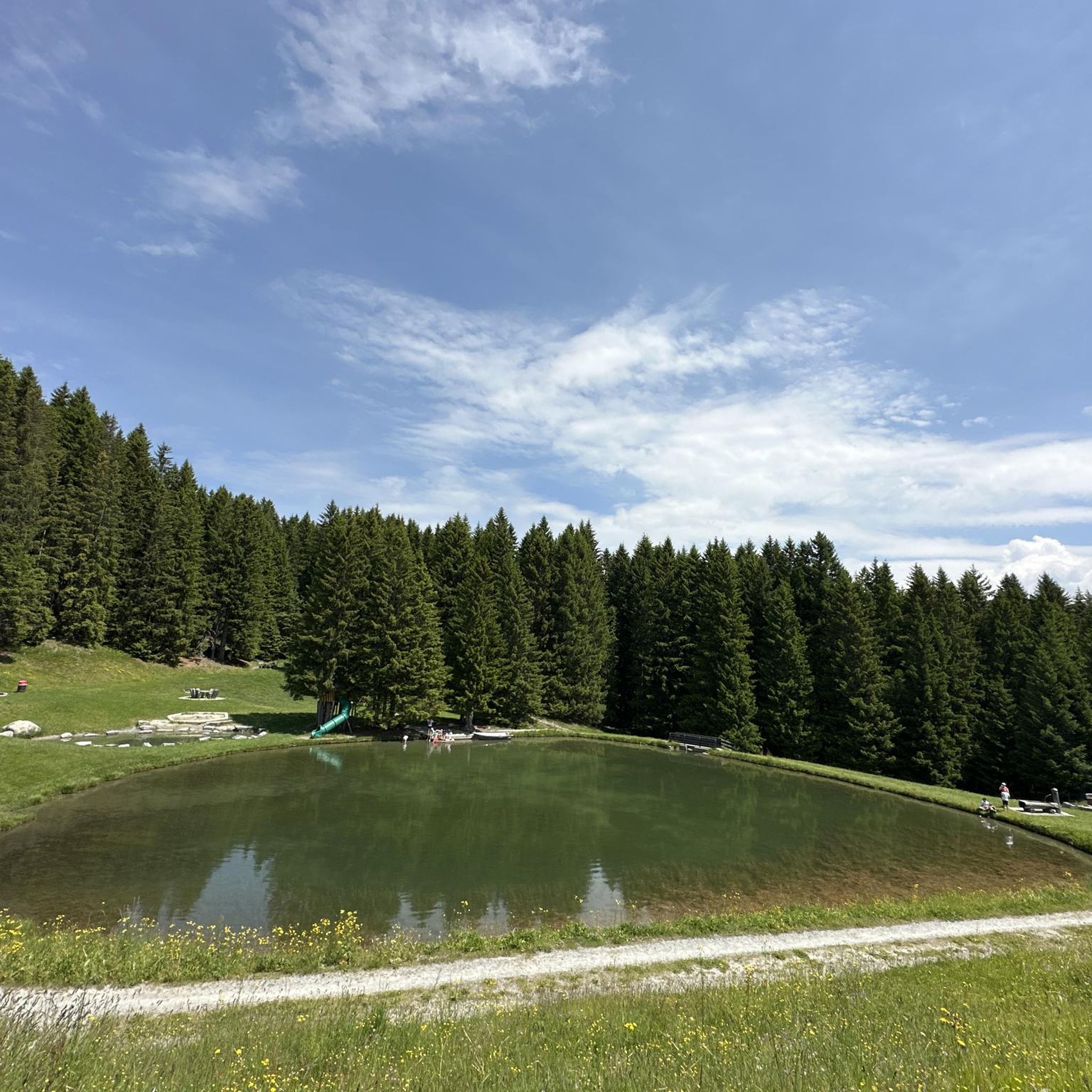
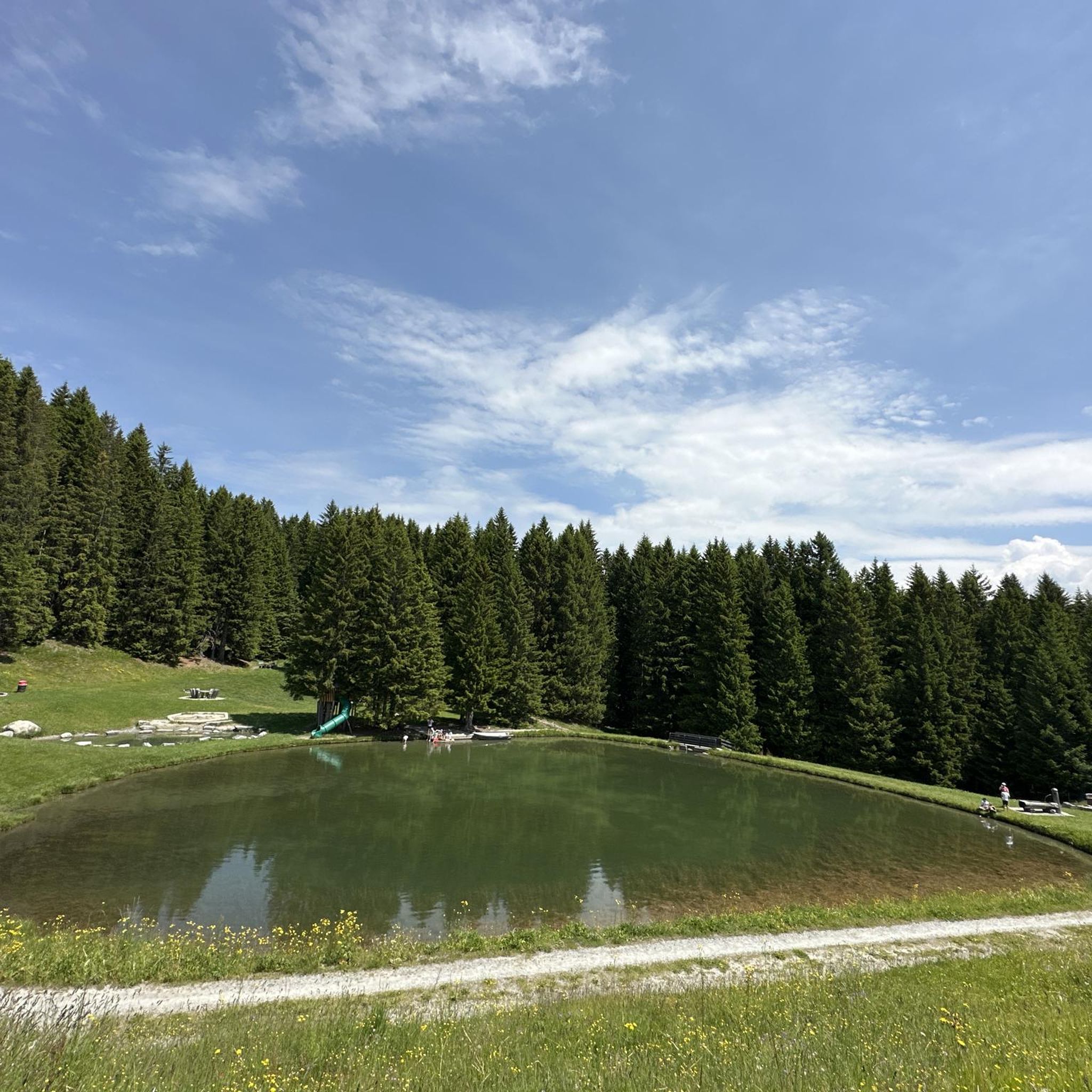
The small Bischolsee is right next to the Alpstrasse. The Pascuminersee is even more beautifully nestled. A place to linger.
6
1
The panoramic view of the Graubünden mountains is simply incomparably beautiful.
6
0

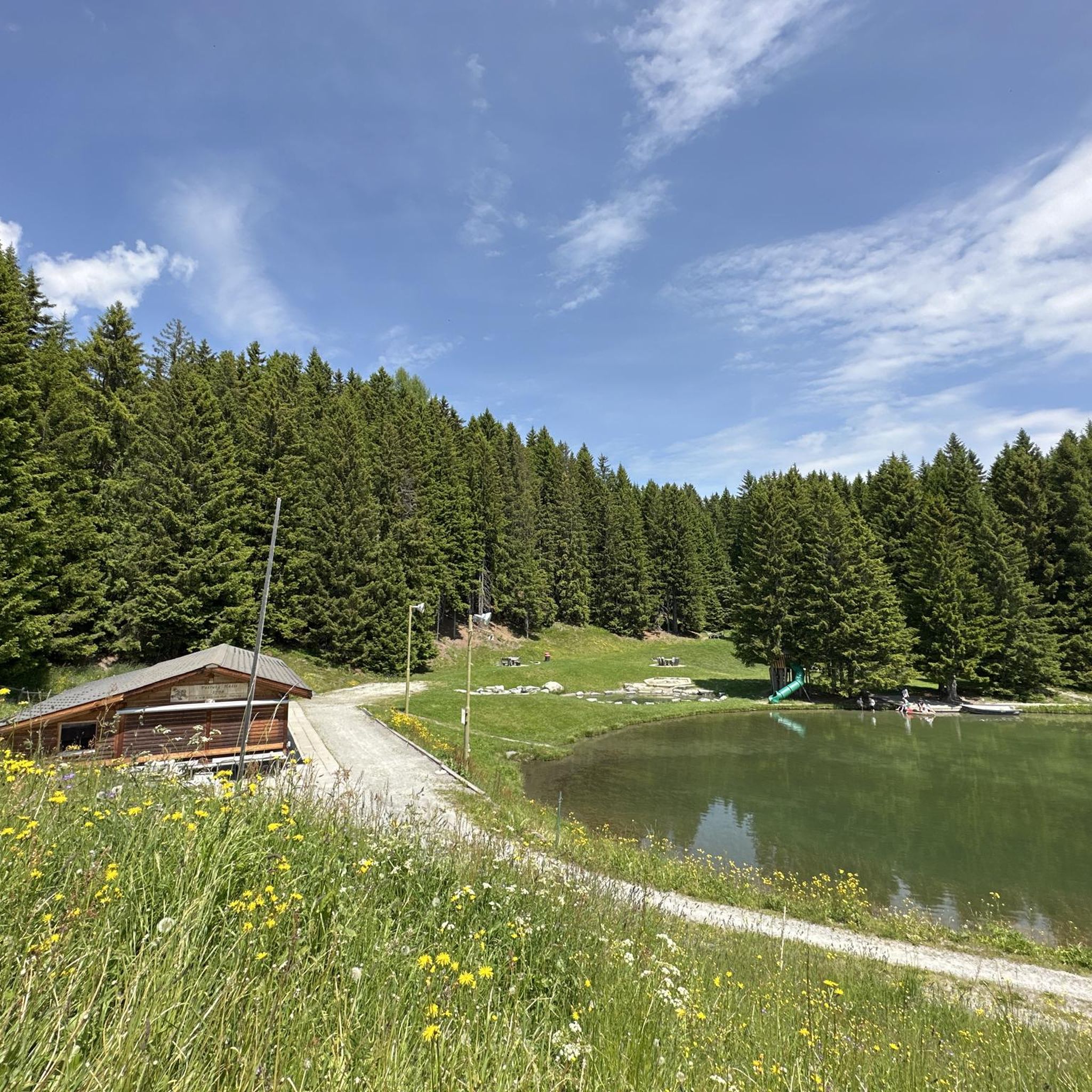
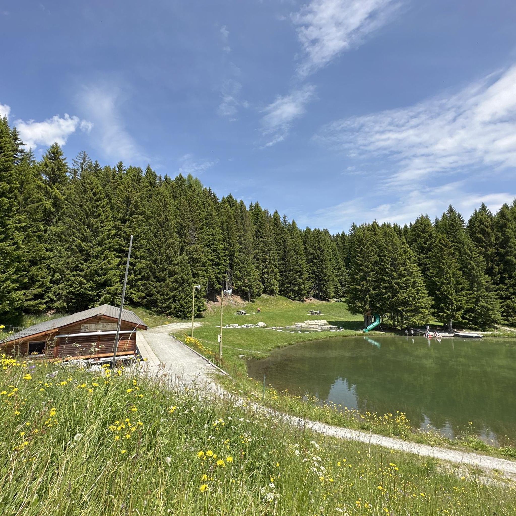
Small bathing lake with kiosk
0
0
The view from the Glaser Grat into the mountains and the two valleys, on the left into the Safiental and on the right into the Domleschg and Val Schons, is fantastic and overwhelming.
10
0
Driftwood ball reminds us of the destructive power. Reto Hänny, writer from Tschappina: Text excerpt from “Chiaroscuro” [p. 162 – 163] (1994): When the rumble rolled down the ravine? Can you remember the dull rumbling, the shaking under your feet; or do you only know all of this from your grandfather’s stories? [...] Pieces of land, hills, then the whole slope, begin to slide, to sag, slowly, barely visible at first, barely a tremor in the branches, then, if you look a moment later, suddenly more quickly, they begin to rise up, to fall over, alders and firs, wedging themselves together, are thrown together like Mikado sticks, stones, splintering wood, fences and broken trunks, whose bare roots protrude from the blue-black mush, clawing in vain for support in the rain-shaded air, dancing over the ditch and down on the mudslide [...]" Trees, rocks, houses, nothing on the Heinzenberg was safe from the raging mountain stream Nolla. The Nolla is a stream with extraordinary power, which shaped the landscape over a wide area and taught the inhabitants of Heinzenberg and Domleschg to fear. When the water level was high, the Nolla carried so much debris, such as rubble or driftwood, down from the Heinzenberg that it literally piled up to form a dam in front of the valley floor, until the force of the water swept these walls away again, triggering a strong flood wave.
11
1

Idyllic lake in Oberurmein with various seating areas and fire pits. Ideal for cooling off or taking a break on the shore. There is also a toilet.
1
0

Gentle and flat to the east, steep and somewhat exposed to the west. This is how the pass between the Heinzenberg and the Safiental appears.
1
0

Frequently Asked Questions
Are there easy hiking trails in Urmein suitable for beginners?
Yes, Urmein offers a selection of easier trails. Out of the 29 routes available, 8 are classified as easy, providing accessible options for those new to hiking or looking for a less strenuous experience in the alpine landscape.
What are some longer hiking options in Urmein?
For those seeking longer excursions, routes like the Glaser Ridge – Pascuminer Lake loop from Tschappina cover approximately 8.3 miles (13.4 km). Another substantial option is the Glaser Ridge – Driftwood Hut on Heinzenberg loop from Tschappina, which is around 8.4 miles (13.5 km) long.
Are there family-friendly hiking routes in Urmein?
Urmein's diverse terrain includes routes suitable for families. Many of the easier trails traverse alpine pastures and offer gentle ascents, making them enjoyable for various age groups. Look for routes with moderate distances and elevation gains.
Can I bring my dog on hikes in Urmein?
Generally, dogs are welcome on hiking trails in the Urmein region. However, it's always advisable to keep them on a leash, especially when passing through grazing areas with livestock or in nature protection zones. Be sure to carry water for your dog and clean up after them.
Are there circular hiking routes available in Urmein?
Yes, many of the trails in Urmein are designed as circular routes, allowing you to start and end at the same point. Examples include the Lake Bischol – Pascuminer Lake loop from Tschappina and the Obergmeind – Viewpoint at Ober Gmeind loop from Tschappina, offering varied scenery without retracing your steps.
Is parking available near the trailheads in Urmein?
Parking is typically available at common starting points for hikes, such as in Tschappina or other villages in the region. These areas often have designated parking lots for hikers. It's recommended to check local signage for any fees or restrictions.
When is the best time of year to hike in Urmein?
The best time for hiking in Urmein is generally from late spring to early autumn (June to October). During these months, the weather is milder, trails are usually free of snow, and the alpine flora is in full bloom. Autumn offers stunning views with changing foliage.
Is winter hiking possible in Urmein?
While Urmein is primarily known for summer hiking, some trails may be accessible for winter hiking or snowshoeing, especially at lower elevations or on specially prepared paths. Higher alpine routes will be covered in snow and require appropriate gear and experience. Always check local conditions and avalanche warnings before heading out in winter.
What interesting landmarks or natural features can I see along the hiking trails?
The Urmein region is rich in natural beauty and notable landmarks. You can encounter stunning alpine lakes like Lake Bischol and Patrutgsee in Oberurmein. Mountain peaks such as Glaser Ridge and Tenner Kreuz summit offer panoramic views. You might also pass by historical structures like the Wooden Church of Obermutten.
Are there opportunities for wild swimming near Urmein's hiking trails?
The Urmein area features several beautiful alpine lakes, including Canovasee, Lake Bischol, and Patrutgsee in Oberurmein. While these lakes are often very cold, some visitors enjoy a refreshing dip during warmer summer months. Always be mindful of local regulations and water safety.
What do other hikers enjoy most about hiking in Urmein?
The Urmein area is highly rated by the komoot community, with an average score of 4.5 stars from over 200 reviews. Hikers often praise the diverse alpine landscapes, including mountain ridges, clear lakes, and expansive pastures. The well-maintained trails and the variety of routes suitable for different skill levels are also frequently highlighted.
Are there places to eat or get refreshments along the trails?
While many trails in Urmein traverse natural, undeveloped areas, some routes may pass by mountain huts (Alpenhütten) or small villages where you can find refreshments. It's always a good idea to carry sufficient water and snacks, especially on longer routes, and check for opening times of any establishments along your planned path.
Can I reach Urmein's hiking areas using public transport?
Public transport options, such as post buses, serve some of the villages and starting points for hikes in the Urmein region. It's advisable to check the local bus schedules, especially during off-peak seasons, to plan your journey to and from the trailheads effectively.
Most popular routes around Urmein
Most popular attractions around Urmein

Get inspired with the komoot mobile app


Explore more
Browse the best Hikes in other regions.
