The best road cycling routes in Bezirk Urfahr-Umgebung
4.7
(603)
19,173
riders
438
rides
Road cycling routes in Bezirk Urfahr-Umgebung traverse a landscape defined by the Danube River valley and the undulating hills of the Mühlviertel. The region features a mix of riverside paths and routes that ascend into higher elevations, offering diverse gradients for road cyclists. This area provides a range of road cycling experiences, from flat sections along the river to more challenging climbs.
Best road cycling routes in Bezirk Urfahr-Umgebung
- The most popular road cycling route is St. Stephen's Cathedral, Passau…
Last updated: August 4, 2026
4.8
(56)
1,877
riders
137km
06:04
1,180m
1,180m
Hard road ride. Very good fitness required. Some segments of this route may be unpaved and difficult to ride.
4.6
(38)
1,217
riders
96.1km
04:05
600m
600m
Moderate road ride. Good fitness required. Mostly well-paved surfaces and easy to ride.

Sign up for free
4.8
(35)
682
riders
Moderate road ride. Good fitness required. Mostly well-paved surfaces and easy to ride.
4.7
(11)
421
riders
62.3km
02:50
430m
430m
Moderate road ride. Good fitness required. Mostly well-paved surfaces and easy to ride.
4.8
(4)
332
riders
67.6km
03:04
770m
770m
Moderate road ride. Good fitness required. Mostly well-paved surfaces and easy to ride.
4.6
(14)
405
riders
Moderate road ride. Good fitness required. Mostly well-paved surfaces and easy to ride.
4.9
(10)
392
riders
81.2km
03:28
540m
540m
Moderate road ride. Good fitness required. Mostly well-paved surfaces and easy to ride.
4.9
(10)
320
riders
47.4km
01:58
150m
150m
Moderate road ride. Great for any fitness level. Some segments of this route may be unpaved and difficult to ride.
4.7
(7)
325
riders
36.1km
01:51
520m
520m
Moderate road ride. Good fitness required. Some segments of this route may be unpaved and difficult to ride.
4.8
(8)
215
riders
33.7km
01:34
300m
300m
Moderate road ride. Good fitness required. Mostly well-paved surfaces and easy to ride.
Get access to more routes and recommendations from other explorers.
Sign up for free
Already have an account?
Our route recommendations are based on thousands of hikes, rides, and runs completed by other people on komoot.
Start today with a free account
Your next adventure awaits.
Login or Signup
Popular around Bezirk Urfahr-Umgebung
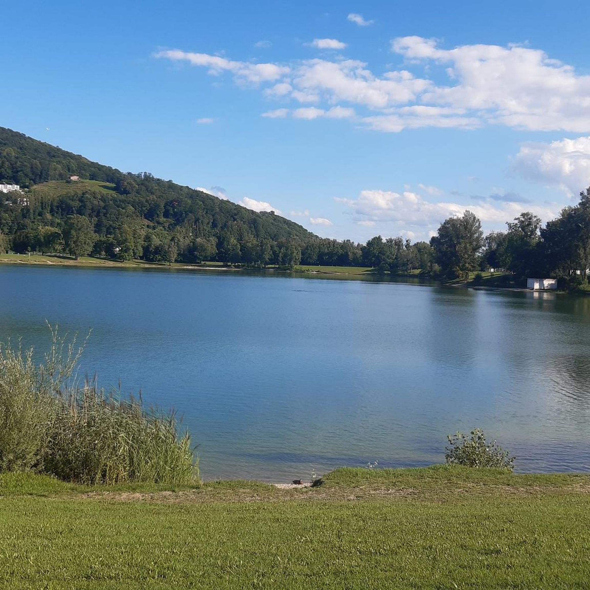
Road Cycling Routes around Pleschinger Lake
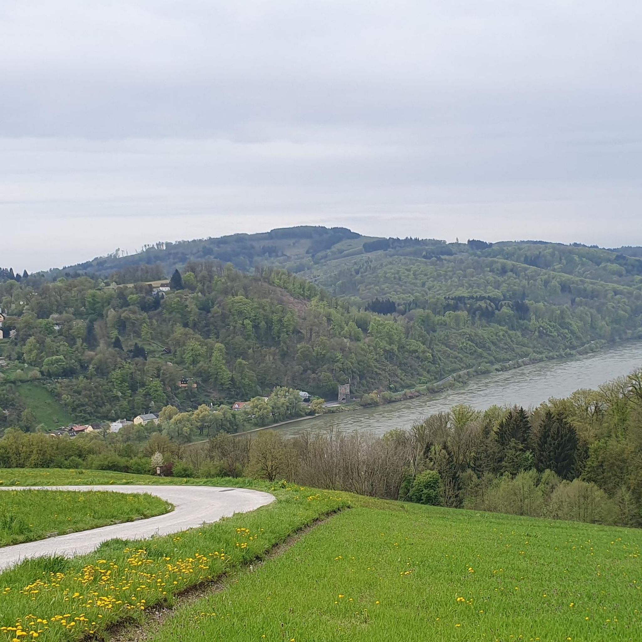
Road Cycling Routes around Puchenau
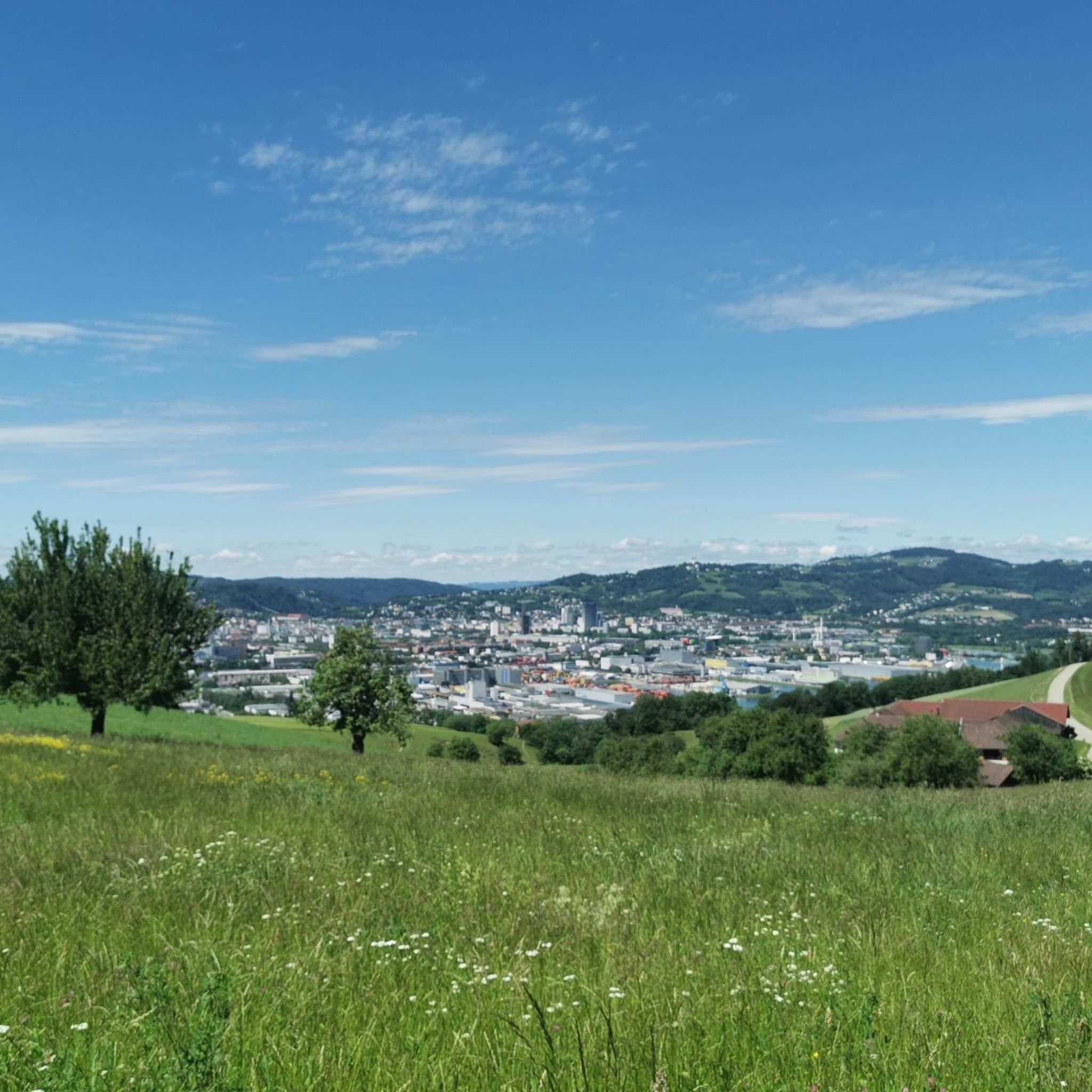
Road Cycling Routes around Steyregg
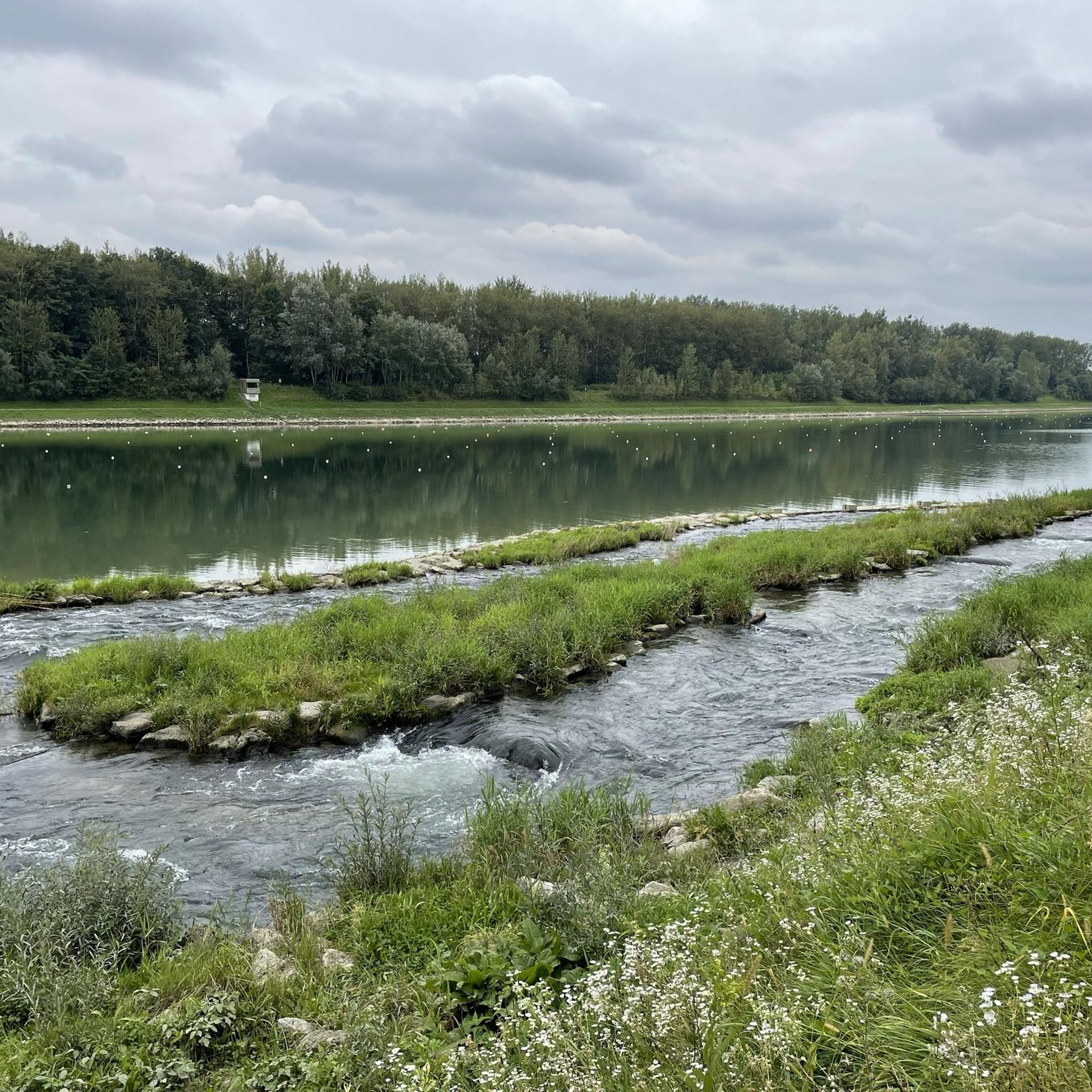
Road Cycling Routes around Goldwörth
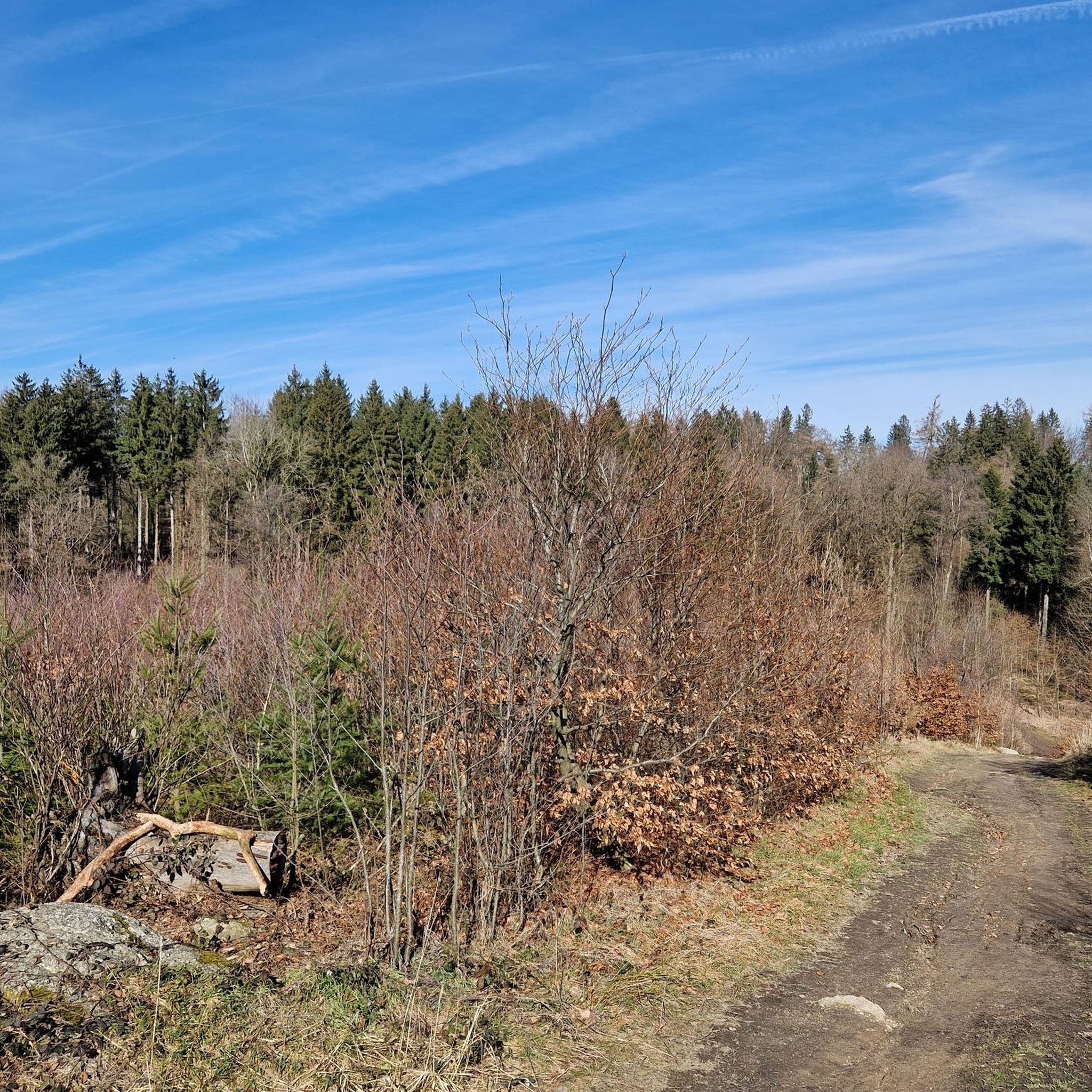
Road Cycling Routes in Steyregger Wald
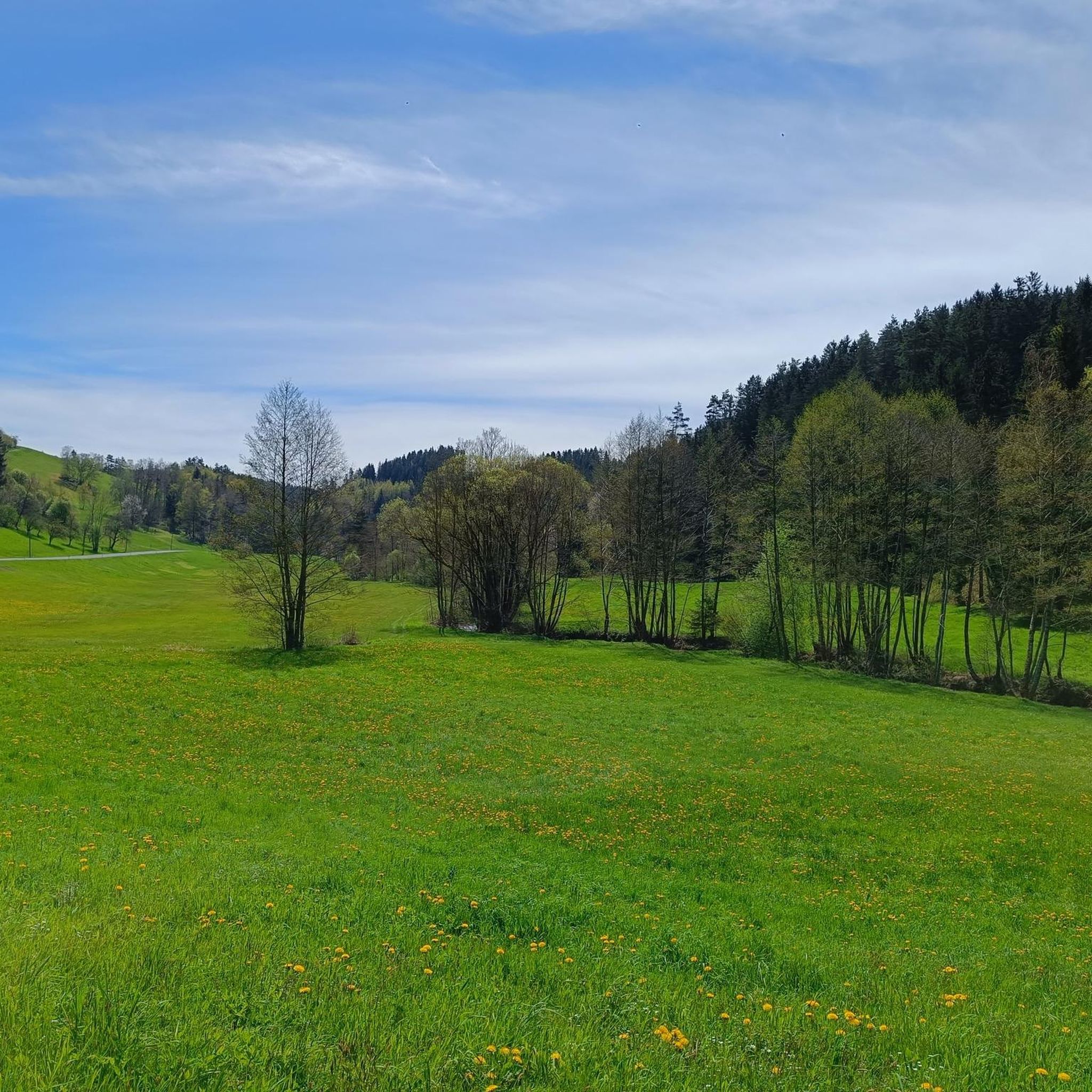
Road Cycling Routes in Dreieggwald
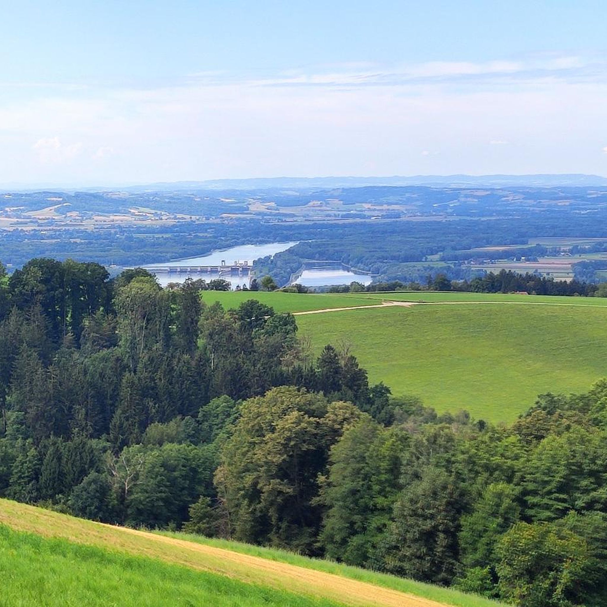
Road Cycling Routes around Gramastetten
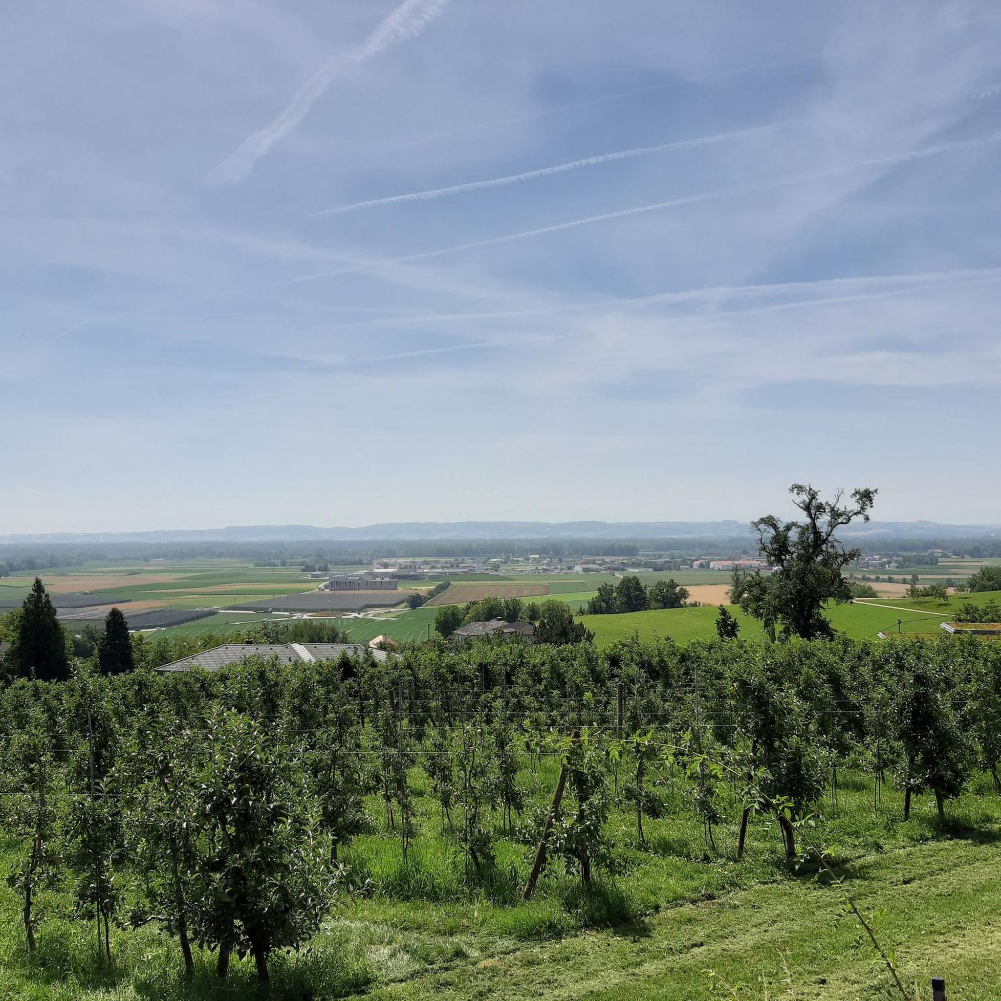
Road Cycling Routes around Feldkirchen an der Donau
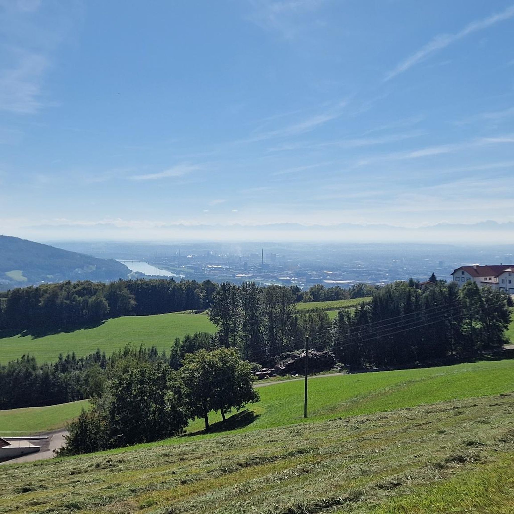
Road Cycling Routes around Altenberg bei Linz
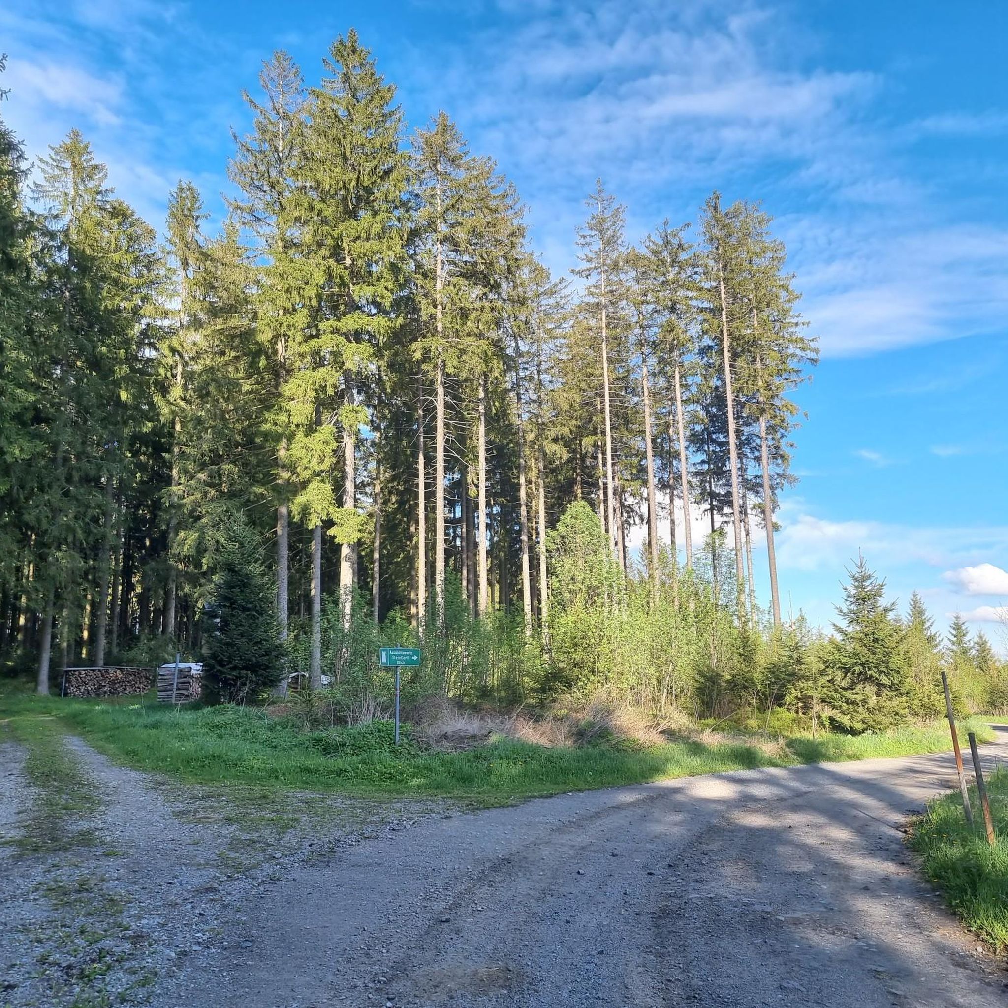
Road Cycling Routes in Breitlüsser Wald
Other adventures in Bezirk Urfahr-Umgebung


Tips from the Community

Aschach an der Donau is one of those places that you visit and immediately feel like you are in a postcard. It is one of the oldest and most charming market towns in Upper Austria (Eferding district) and is located directly on the great Danube loop. For centuries, Aschach was an important hub for shipping and trade. This is still reflected in the townscape today. The row of houses directly on the Danube promenade largely dates from the 16th century (Renaissance and Baroque). The facades are magnificently restored and a popular photo motif.
0
0

Refill water bottles again before going home!!!!!
1
0

Sindelburg Church
0
0

Caution cyclists! There are 90 steps to climb. Not feasible for everyone with the heavy e-bikes.
4
0

Ottensheim-Wilhering Power Plant and Lock! This impressive facility on the Danube plays an important role in energy generation and shipping. Here are some interesting aspects: ### General Information - **Location**: The power plant and lock are located in the municipality of **Wilhering** in **Upper Austria**. - **Year of Construction**: The power plant was built from **1970 to 1975** and is a run-of-river power plant. ### Technical Features 1. **Lock**: - The lock has **two lock chambers** measuring **230 × 24 m**. - It allows ships to pass through and overcomes the height difference in the river. 2. **Power Plant**: - The power plant has an **capacity** of approximately **30 MW** and uses the current of the Danube to generate electricity. - It is part of a project with **72 million euros** being invested to ensure the lifespan and efficiency of the power plant for another **50 years**. 3. **Water level**: - The river dam length is **16 km**, and the dam target is at an altitude of approximately **250 m**. ### Significance - **Energy generation**: The power plant contributes significantly to the region's electricity supply and is an important component of renewable energy sources in Austria. - **Shipping**: The lock is a central point for inland navigation on the Danube, enabling the transport of goods and passengers. ### Summary The **Ottensheim-Wilhering power plant and lock** are not only technical masterpieces, but also crucial elements for the energy supply and shipping in the region. A visit to this facility offers exciting insights into the world of hydropower and engineering! ✨
2
0

Great rest area with swimming and refreshment options on hot days on the Danube Cycle Path.
3
0
Many cafes and restaurants along the Danube, perfect for a break on your bike tour.
1
0

Very beautiful section of the Danube Cycle Path!
1
0
Frequently Asked Questions
What is the general difficulty level of road cycling routes in Bezirk Urfahr-Umgebung?
Bezirk Urfahr-Umgebung offers a diverse range of road cycling experiences. You'll find everything from easy, flat sections along the Danube River to more challenging climbs in the undulating hills of the Mühlviertel. Out of over 440 routes, approximately 47 are considered easy, 232 moderate, and 168 difficult, catering to various skill levels.
Are there challenging climbs for advanced road cyclists in Bezirk Urfahr-Umgebung?
Yes, advanced road cyclists will find challenging climbs, particularly in the Mühlviertel hills. Routes like St. Stephen's Cathedral, Passau – Danube Cycle Path South Bank loop from Gerling OÖ, which covers 85.3 miles (137.2 km) with over 1,100 meters of elevation gain, offer significant ascents and are rated as difficult.
Can beginners find suitable road cycling routes in Bezirk Urfahr-Umgebung?
Absolutely. The region provides several easy road cycling routes, often found along the Danube River valley. These routes typically feature flatter terrain, making them ideal for beginners or those looking for a more relaxed ride. There are around 47 easy routes available.
Are there options for long-distance road cycling tours in Bezirk Urfahr-Umgebung?
Yes, Bezirk Urfahr-Umgebung is well-suited for long-distance road cycling. Many routes follow the Danube Cycle Path, offering extensive riverside riding. For example, the St. Stephen's Cathedral, Passau – Danube Cycle Path South Bank loop from Gerling OÖ is a substantial 85.3 miles (137.2 km) tour, and the Danube Cycle Path South Bank – Schlögen Loop loop from Achleitnersiedlung covers 59.3 miles (95.4 km).
What kind of scenery can I expect while road cycling in Bezirk Urfahr-Umgebung?
Road cycling in Bezirk Urfahr-Umgebung offers varied scenery. You'll experience picturesque river landscapes along the Danube and Gusen rivers, as well as rolling hills and lush countryside in the Mühlviertel. Many routes provide scenic views and a mix of natural and cultural sights.
Are there circular road bike tours available in the region?
Yes, many road cycling routes in Bezirk Urfahr-Umgebung are designed as loops, allowing you to start and end in the same location. Examples include the Danube Cycle Path South Bank – Schlögen Loop loop from Achleitnersiedlung and the Enns–Mauthausen Bicycle Ferry – View of Wallsee loop from Steyregg, both offering scenic circular rides.
What can I see along the road cycling routes in Bezirk Urfahr-Umgebung?
Along the road cycling routes, you can explore various points of interest. The region is home to several historical sites, including castles like Waxenberg Castle Ruins and Reichenau Castle Ruins. You might also pass by natural highlights such as Feldkirchen Bathing Lake.
What do other road cyclists enjoy the most about road cycling in Bezirk Urfahr-Umgebung?
The road cycling routes in Bezirk Urfahr-Umgebung are highly rated by the komoot community, with an average score of 4.7 stars from over 400 reviews. Cyclists often praise the diverse terrain, from flat riverside paths to challenging hill climbs, and the beautiful, varied landscapes that define the region.
Are there any routes that feature river crossings or ferries?
Yes, some routes incorporate river crossings, often utilizing bicycle ferries to connect different sections of the Danube Cycle Path. The Enns–Mauthausen Bicycle Ferry – View of Wallsee loop from Steyregg is an example of a route that includes a bicycle ferry experience, adding a unique element to your ride.
Are there any routes that offer views of significant landmarks or natural features?
Many routes provide excellent views of the region's landmarks and natural beauty. For instance, the Gasthaus Schober on Archenberg – View of Scharten loop from Puchenau West offers scenic vistas. The Danube River itself is a prominent feature, with routes like the Danube Cycle Path South Bank – Schlögen Loop loop from Achleitnersiedlung showcasing the famous Schlögen Loop.
How many road cycling routes are available in Bezirk Urfahr-Umgebung?
There are over 440 road cycling routes available in Bezirk Urfahr-Umgebung, offering a wide selection for cyclists of all abilities. This extensive network ensures there's always a new path to explore, whether you prefer riverside rides or hilly ascents.
Most popular routes in Bezirk Urfahr-Umgebung
Most popular attractions in Bezirk Urfahr-Umgebung

Get inspired with the komoot mobile app


Didn’t find what you were looking for?
Check out more Road cycling routes throughout Bezirk Urfahr-Umgebung below and find the perfect route in your destination.
Explore more
Browse the best Road cycling routes in other regions.
