The best hikes from bus stations in Bezirk Urfahr-Umgebung
4.6
(4676)
30,363
hikers
761
hikes
Bus station hiking trails in Bezirk Urfahr-Umgebung traverse a varied landscape at the foot of the Mühlviertel and along the Danube River. The region features rolling hills, dense forests, and riverine paths, including sections of the long-distance Donausteig trail. Natural attractions like the Pesenbachtal and Rodltal valleys, along with areas around the Feldkirchner Badeseen, provide diverse terrain for exploration. The area's elevation changes offer both gentle walks and more challenging ascents to viewpoints.
Best bus station hiking trails in Bezirk…
Last updated: May 16, 2026
4.8
(53)
298
hikers
Moderate hike. Good fitness required. Easily-accessible paths. Suitable for all skill levels.
4.7
(52)
272
hikers
Moderate hike. Good fitness required. Easily-accessible paths. Suitable for all skill levels.

Sign up for free
4.7
(39)
231
hikers
8.72km
02:41
320m
320m
Moderate hike. Good fitness required. Easily-accessible paths. Suitable for all skill levels.
4.7
(45)
271
hikers
Moderate hike. Good fitness required. Easily-accessible paths. Suitable for all skill levels.
4.0
(39)
129
hikers
Moderate hike. Good fitness required. Easily-accessible paths. Suitable for all skill levels.
Get access to more routes and recommendations from other explorers.
Sign up for free
Already have an account?
Our route recommendations are based on thousands of hikes, rides, and runs completed by other people on komoot.
Start today with a free account
Your next adventure awaits.
Login or Signup
Popular around Bezirk Urfahr-Umgebung
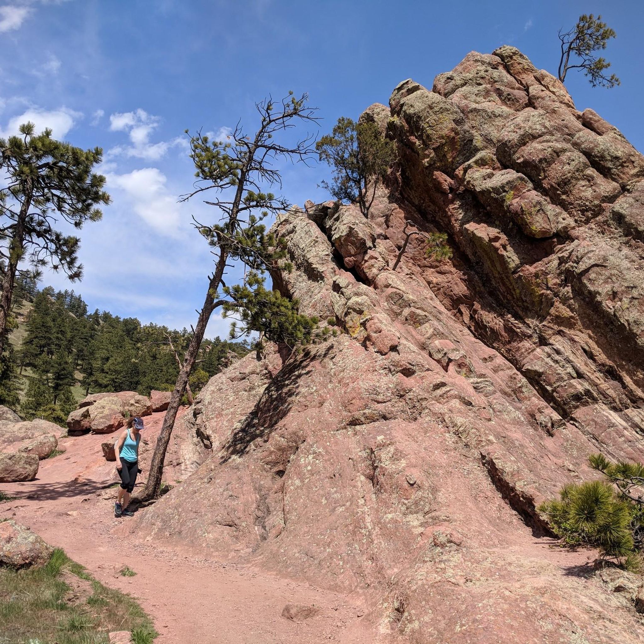
Hikes from bus stations in Schauerwald

Hikes from bus stations around Feldkirchen an der Donau
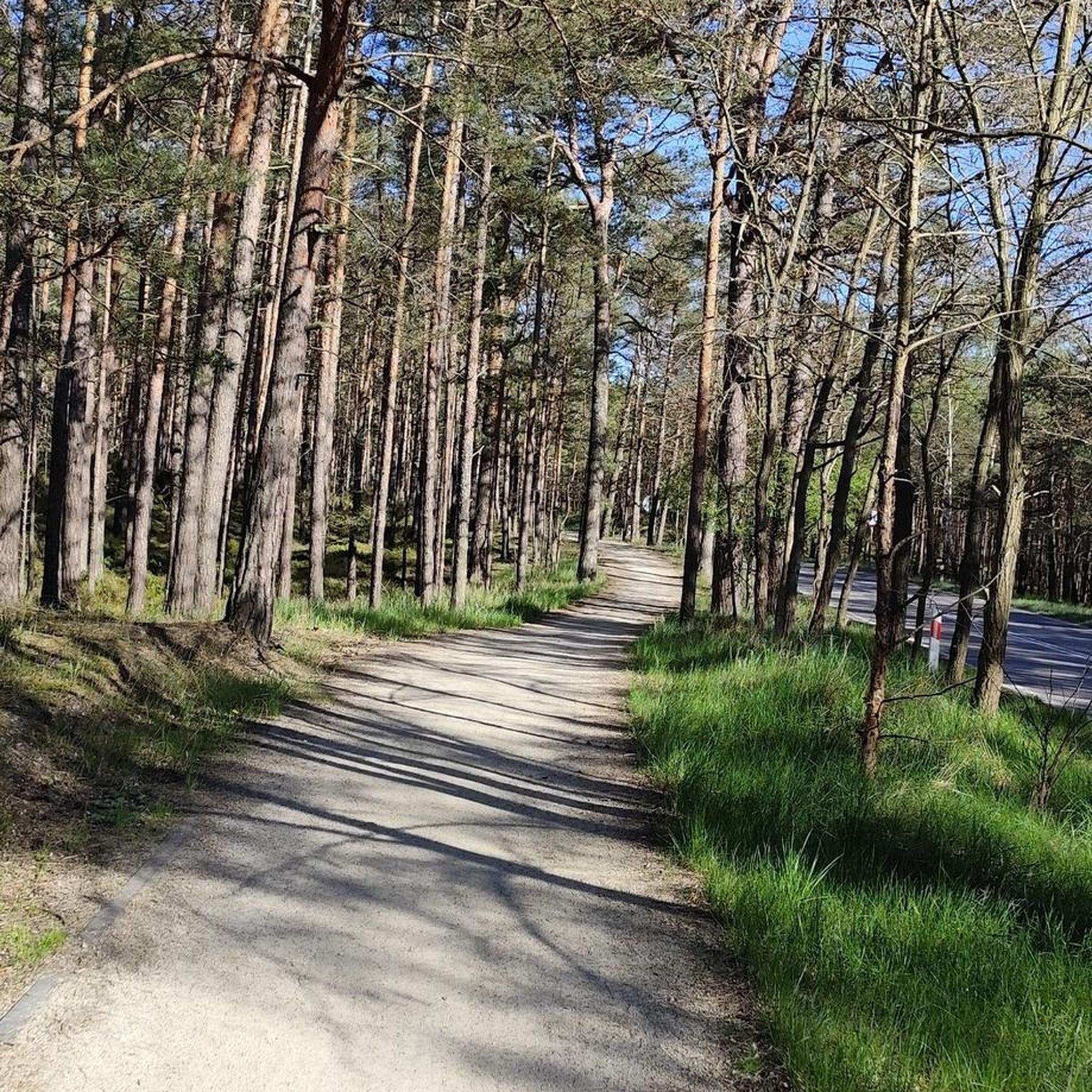
Hikes from bus stations around Pleschinger Lake
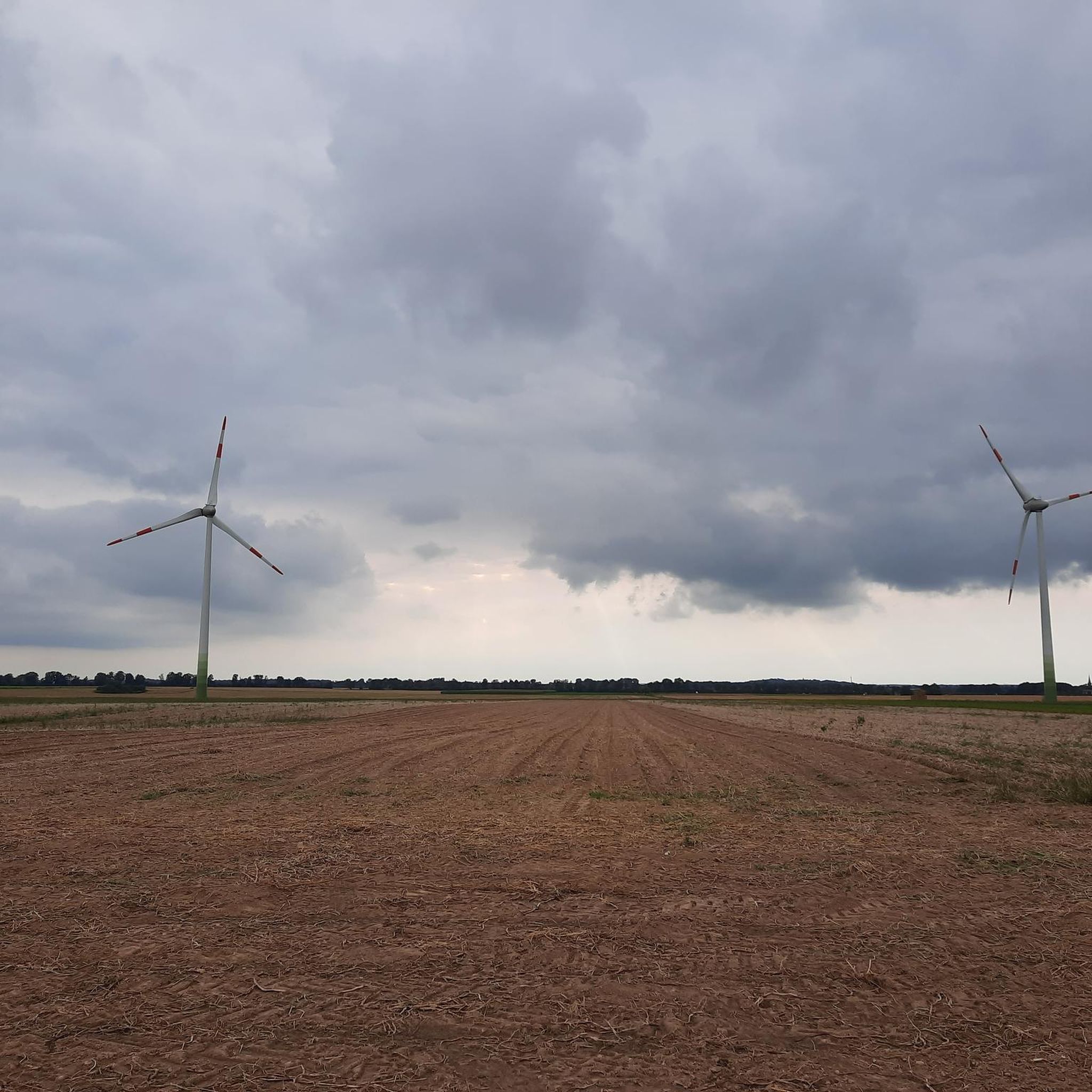
Hikes from bus stations in Brunnwald
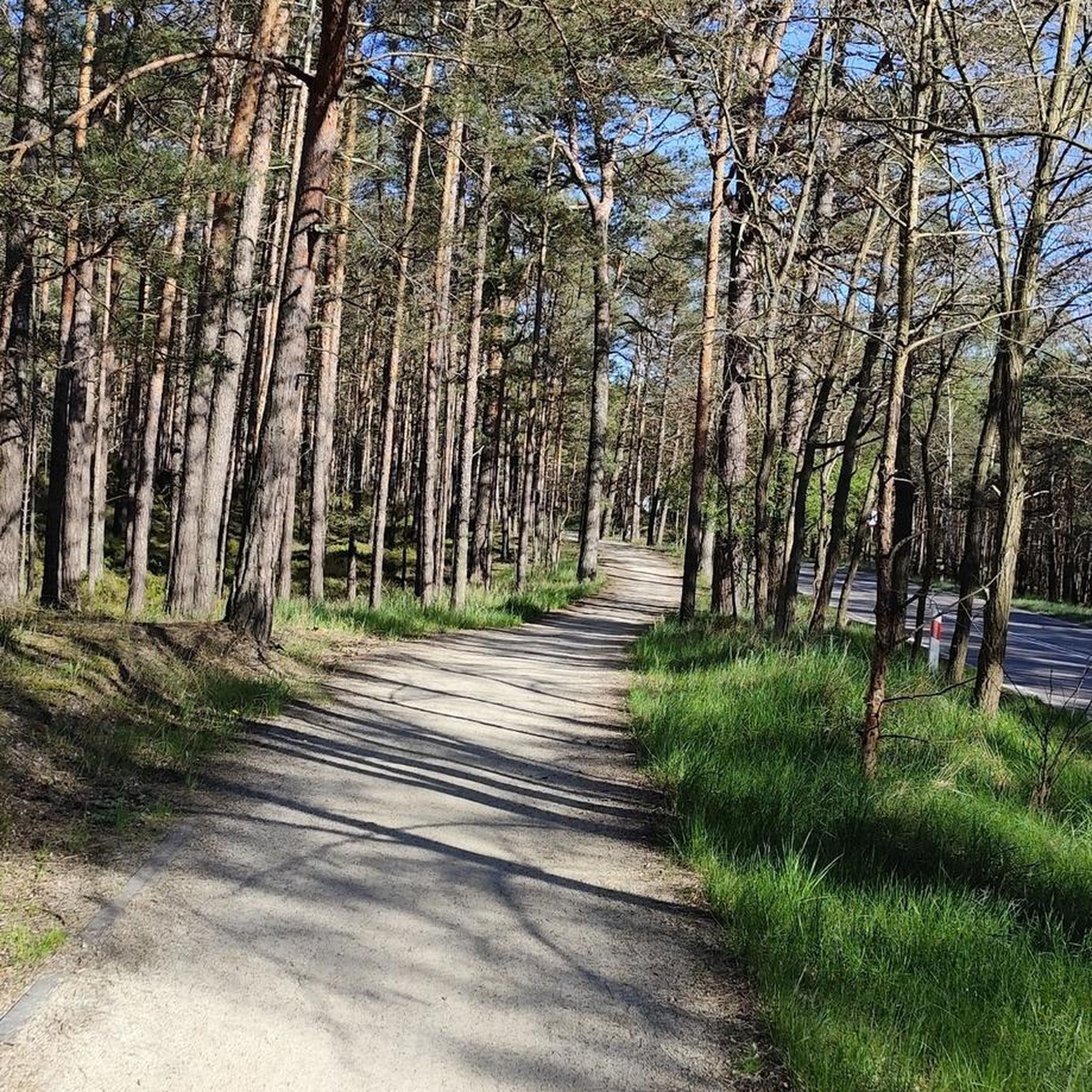
Hikes from bus stations around Steyregg
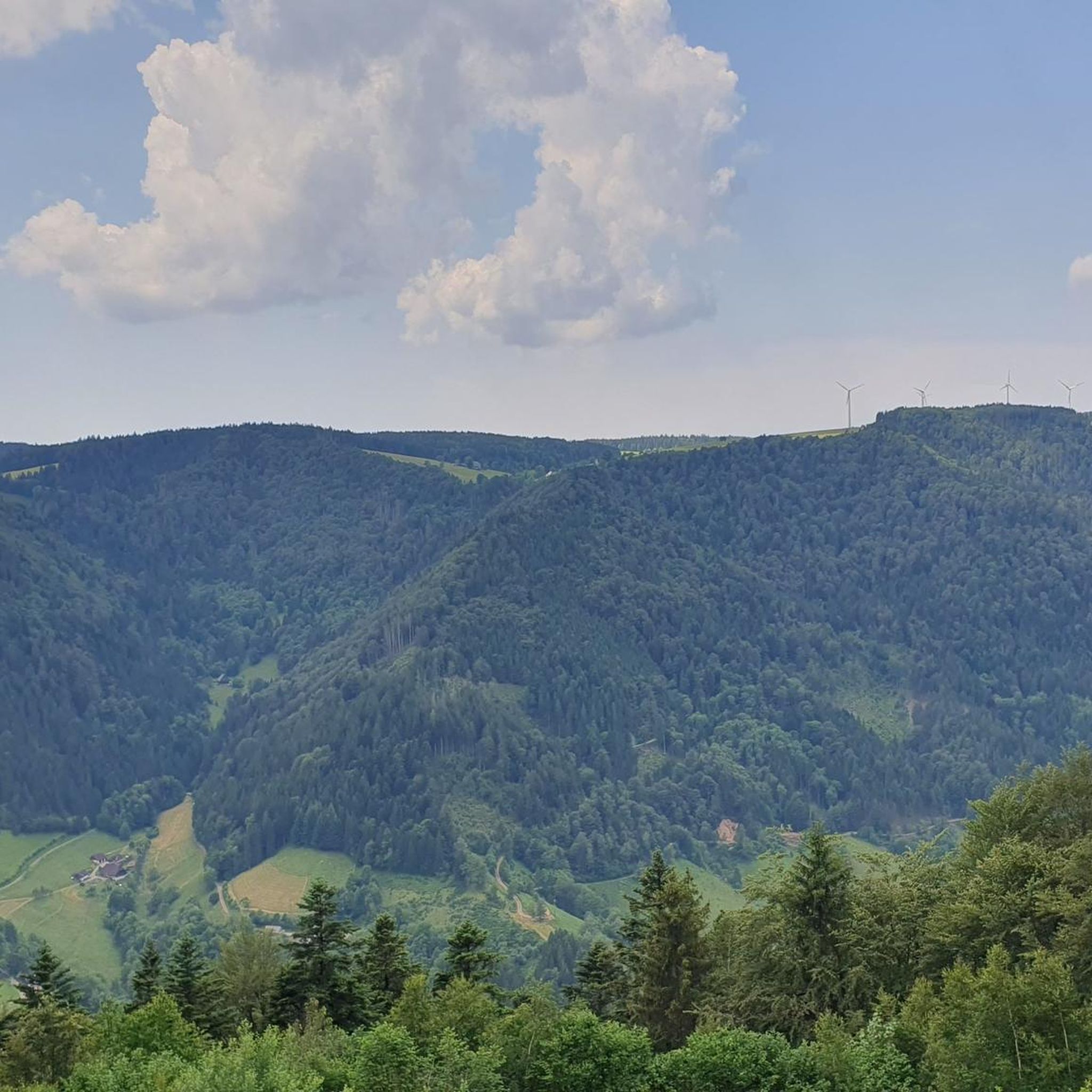
Hikes from bus stations in Breitlüsser Wald

Hikes from bus stations in Miesenwald
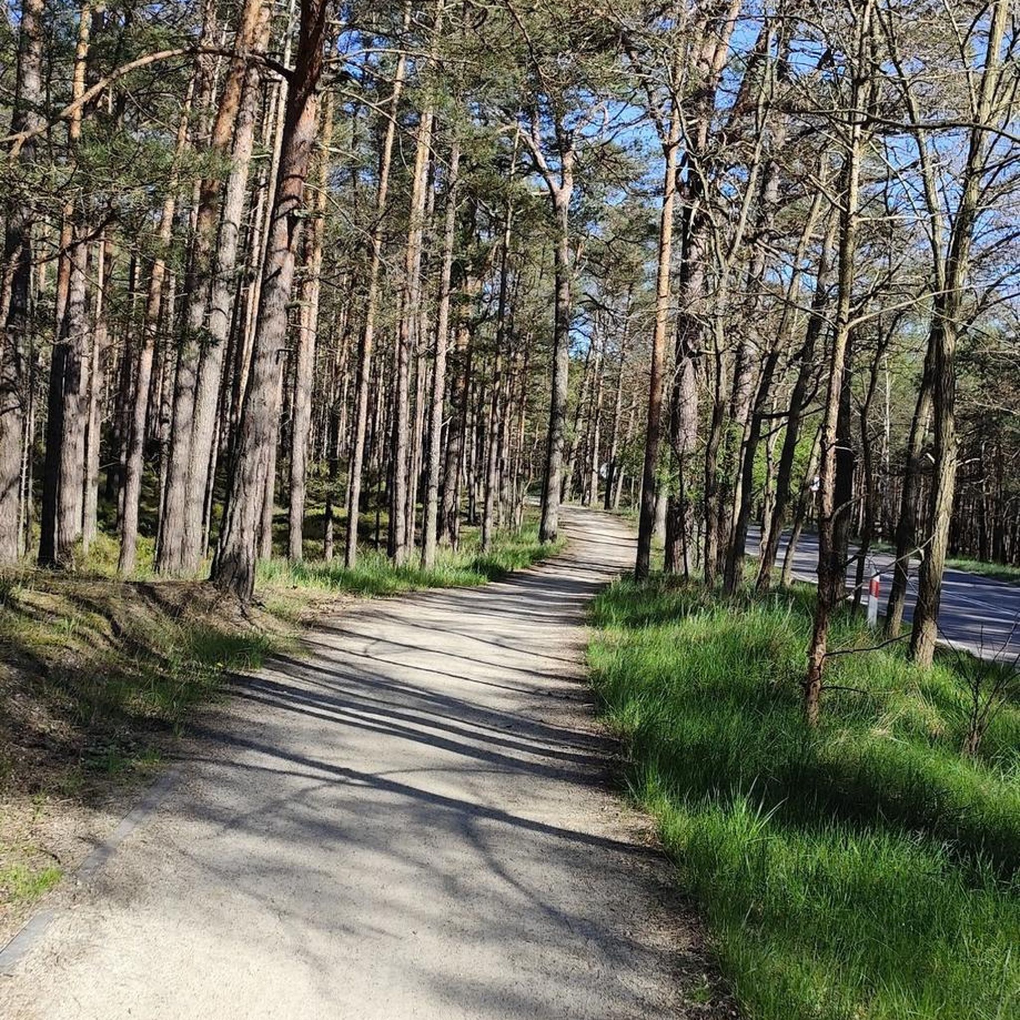
Hikes from bus stations in Steyregger Wald
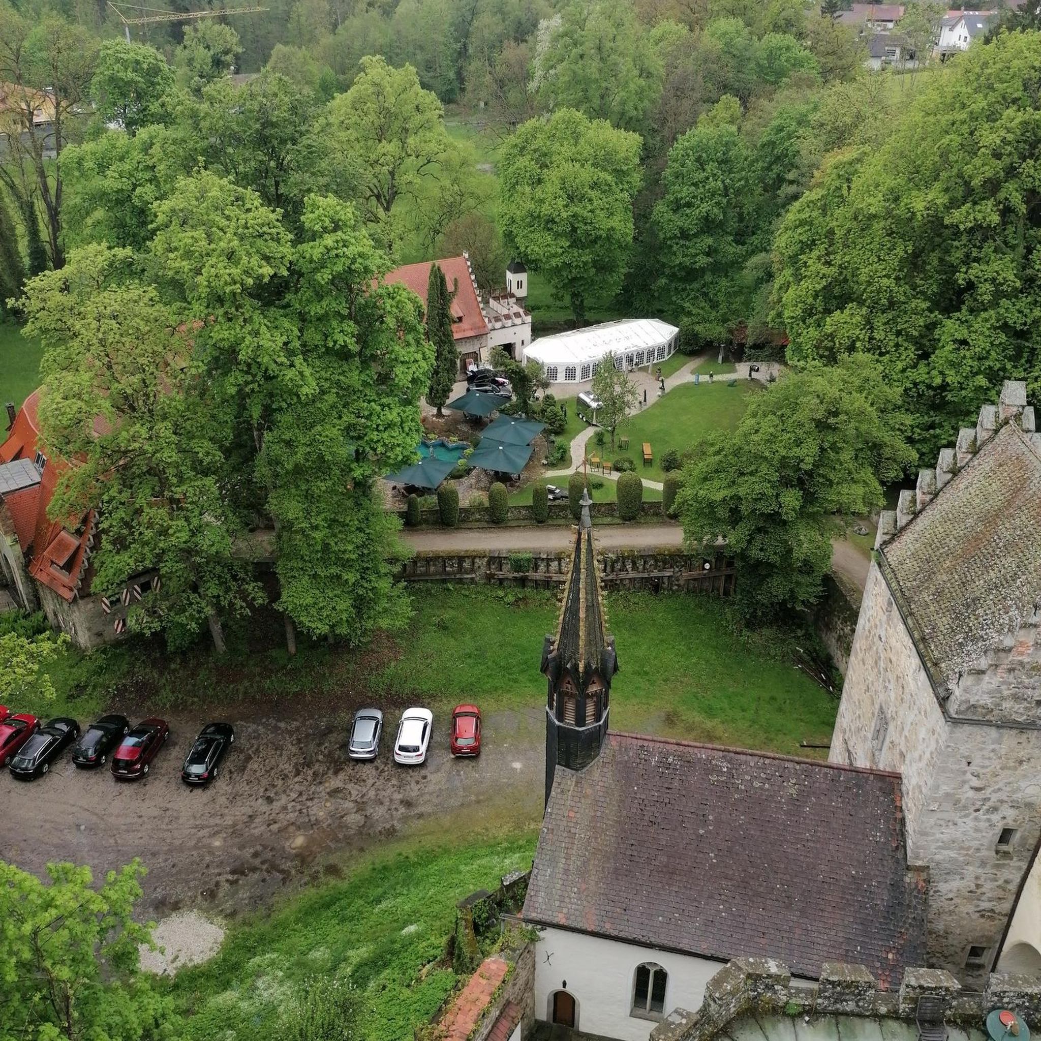
Hikes from bus stations around Kirchschlag bei Linz

Hikes from bus stations around Oberneukirchen
Other adventures in Bezirk Urfahr-Umgebung


Tips from the Community

On winter days with temperature inversions, countless sun-seekers sit and lie here. In the sunshine, one forgets the worries of everyday life (which await below in the dark fog).
0
0

A rest area in the sun with great views (weather permitting...otherwise a beautiful view of the sea of fog)
1
0

The town hall stands at the western end of the main square, northeast of the parish church in the town of Bad Leonfelden in the Mühlviertel region.
0
0

Observation tower on the Roadlberg
3
0
There is also a viewing tower at the summit cross and from here you start the trails
3
0
Frequently Asked Questions
How many bus station hiking trails are available in Bezirk Urfahr-Umgebung?
Bezirk Urfahr-Umgebung offers a wide selection of bus-accessible hiking trails, with over 760 routes available. These range from easy strolls to more challenging excursions, ensuring there's something for every hiker.
What kind of terrain and difficulty can I expect on bus-accessible hikes in this region?
The region's bus-accessible trails offer diverse terrain. You'll find gentle paths along the Danube, rolling hills in the Mühlviertel, and more rugged sections in areas like the Bohemian Forest. Difficulty levels vary, with over 280 easy routes, more than 440 moderate options, and around 30 difficult trails for experienced hikers.
Are there any family-friendly bus station hikes in Bezirk Urfahr-Umgebung?
Yes, many trails are suitable for families. The region offers numerous easy routes, often featuring gentle gradients and scenic points of interest. Look for paths around the Koglerauer Spitz or along the Feldkirchner Badeseen for pleasant family outings.
Can I bring my dog on these bus-accessible hiking trails?
Generally, dogs are welcome on hiking trails in Bezirk Urfahr-Umgebung. However, it's always recommended to keep them on a leash, especially in nature reserves, agricultural areas, or near livestock. Public transport rules for dogs may vary, so check with the specific bus operator before your trip.
What are some notable landmarks or viewpoints accessible from bus stops?
Many bus-accessible routes lead to stunning viewpoints and landmarks. For panoramic views, consider the Roadlberg Observation Tower – Roadlhof Inn loop from Alberndorf in der Riedmark, which offers expansive vistas of the Mühlviertel. Another excellent option is the Sternstein Observation Tower – Forest tavern at the Sternstein loop from Bad Leonfelden, providing impressive views from the Sternstein mountain.
Are there circular hiking routes available from bus stations?
Yes, many bus-accessible trails are designed as circular routes, allowing you to start and end your hike at the same bus stop. For example, the Roadlberg Observation Tower – Roadlhof Inn loop from Alberndorf in der Riedmark is a popular circular option, as is the Three Beeches Cross – Pfenningberg Summit Cross loop from Johannes Kepler University Linz.
What is the best season for bus station hiking in Bezirk Urfahr-Umgebung?
The best seasons for hiking in Bezirk Urfahr-Umgebung are spring and autumn. During these times, the climate is mild, and the natural landscapes are particularly vibrant, with blooming flowers in spring and colorful foliage in autumn. Summer also offers great hiking, though some trails might be busier.
Are there places to eat or drink near the bus-accessible hiking trails?
Yes, several routes pass by traditional inns and restaurants. For instance, the Roadlberg Observation Tower loop includes the Roadlhof Inn, and the Sternstein Observation Tower loop features the Forest tavern at the Sternstein. You can also find options like Zur Gis Inn and Pelmbergstüberl near other trails.
What do other hikers enjoy most about bus station hiking in Bezirk Urfahr-Umgebung?
The komoot community highly rates hiking in Bezirk Urfahr-Umgebung, with an average score of 4.55 stars. Reviewers frequently praise the region's diverse landscapes, from the picturesque Mühlviertel to the serene Danube banks, and the excellent accessibility of trails via public transport. The well-maintained paths and rewarding viewpoints are also often highlighted.
Are there any bus-accessible trails that lead to waterfalls?
Yes, Bezirk Urfahr-Umgebung features hikes that lead to natural wonders like waterfalls, offering serene streams and eye-catching cascades. While specific bus routes to individual waterfalls can vary, the Pesenbachtal area is known for its scenic views and water features, and some sections may be accessible by bus.
Can I find trails along the Danube River that are accessible by bus?
Absolutely. The Danube forms a significant natural boundary of the region, and sections of the long-distance Donausteig trail are accessible by public transport. These routes offer relaxing hikes along the riverbanks with beautiful views of the valley.
Is parking available near bus stops for those who drive part of the way?
Many bus stops in Bezirk Urfahr-Umgebung, especially in larger towns or popular trailheads, offer nearby parking facilities. This allows hikers the flexibility to drive to a convenient starting point and then use the bus for part of their journey or return trip. It's advisable to check local parking information for specific bus stops.
Most popular routes in Bezirk Urfahr-Umgebung
Most popular attractions in Bezirk Urfahr-Umgebung

Get inspired with the komoot mobile app


Didn’t find what you were looking for?
Check out more Hikes throughout Bezirk Urfahr-Umgebung below and find the perfect route in your destination.
Explore more
Browse the best Hikes in other regions.
