The best walks and hikes around Untersiemau
4.6
(234)
798
hikers
106
hikes
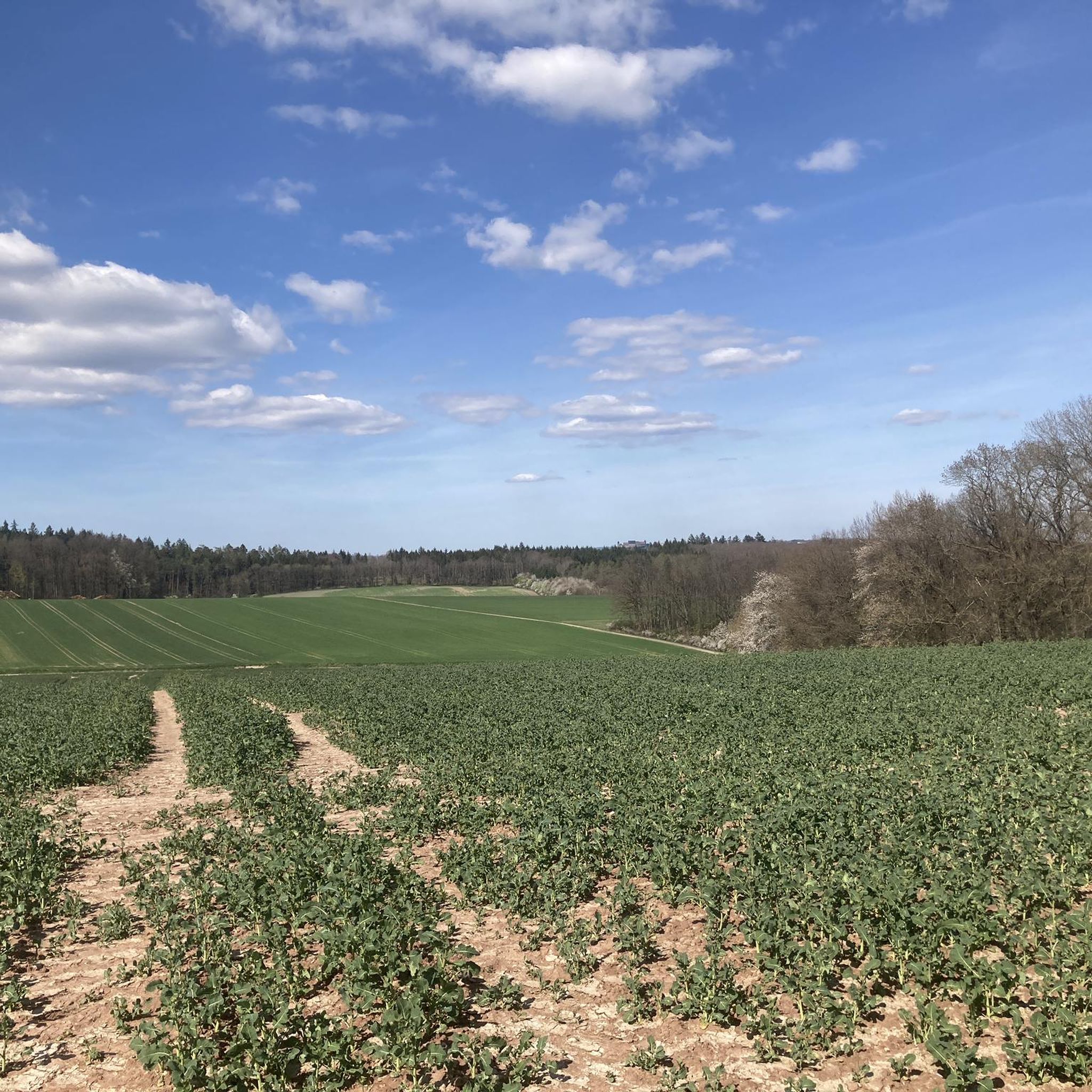
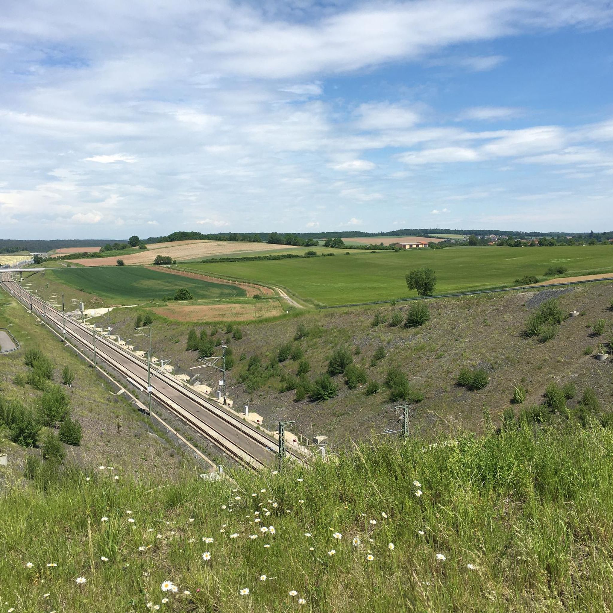
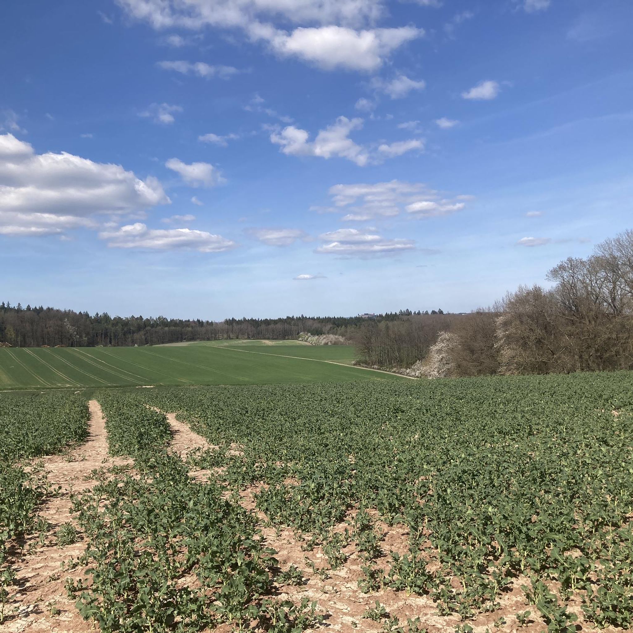
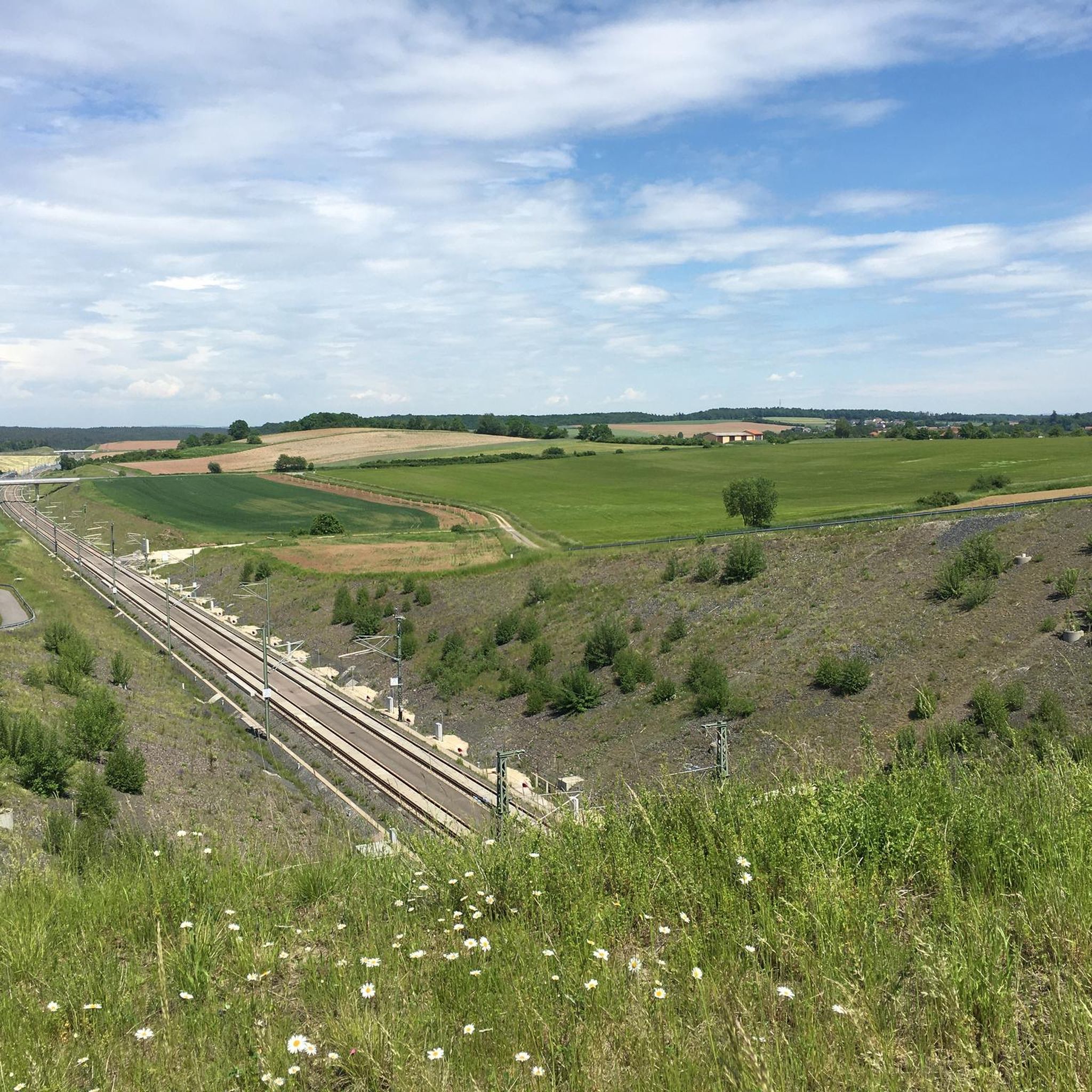
Hiking trails around Untersiemau traverse a varied landscape in the Landkreis Coburg region of Upper Franconia, Bavaria. The area features scenic forest paths, open fields, and wooded sections, offering diverse terrain for outdoor activities. Trails often incorporate cultural landmarks such as the Untersiemau Water Castle and the Floßteich (Raft Pond), providing points of interest along routes. The region's topography includes gentle elevation changes, making it suitable for various hiking abilities.
Best hiking trails around Untersiemau
- The most popular hiking route…
Last updated: October 28, 2026
4.7
(30)
91
hikers
Moderate hike. Good fitness required. Easily walkable paths.
4.6
(17)
55
hikers
Moderate hike. Good fitness required. Easily walkable paths.

4.3
(3)
27
hikers
Moderate hike. Good fitness required. Easily walkable paths.
4.8
(12)
31
hikers
11.6km
03:08
170m
170m
Moderate hike. Good fitness required. Easily walkable paths.
4.8
(5)
23
hikers
Easy hike. Easily walkable paths.
Get access to more routes and recommendations from other explorers.
Already have an account?
Our route recommendations are based on thousands of hikes, rides, and runs completed by other people on komoot.
Start today with a free account
Your next adventure awaits.
Tips from the Community

This highlight has two sides. The Banzberge in general and the Banzberg in particular are hiking highlights in a beautiful hiking area. The location of the highlight -Banzberge- right in the middle needs to be reconsidered. BECAUSE: Where the Banzberge highlight is currently located, the Banzberge are rather boring. There is a dead-straight forest road that runs for 2 to 3 km over the hills without any real highlights. The only interesting thing is the hiking markers 😊 If you have children with you, they will rightly start whining. Because on this forest road there is no view and little to experience. Therefore, you should only aim for this highlight if you don't feel confident enough to walk the much more beautiful Maximilians Pfad. It is a bit longer, but it is a real hiking trail with roots and small, but harmless, "abysses". The Maximilians Pfad is a real highlight.
1
0

Informative panel on the orchard trail. Worth reading and interesting.
14
0
A seating area invites you to rest in the shade. A very nice spot, with a model of a Saturn right next to it.
14
0
This is where the "The Otter Queen" station on the Siemau Legend Trail is located. The legend is worth reading and interesting, and well worth a visit.
14
0
This is a stop on the Siemauer Legend Trail. The information panel explains the legend. It's interesting and worth reading. You can find it here: https://www.untersiemau.de/freizeit-kultur/siemauer-sagenwelten/schatzsucherweg/das-gueldene-hufeisen/
14
0
The legend can be found here: https://www.untersiemau.de/freizeit-kultur/siemauer-sagenwelten/querkelsteig/der-spuk-an-der-eselsbruecke-bei-meschenbach/
14
0
Here at the Eselsbrücke (donkey bridge) is a station on the Simauer Legend Trail. The information panel provides a detailed description of the legend.
14
0
A very well-preserved historic arched bridge, which, newly renovated, is a real eye-catcher. You rarely see something like it.
14
0
Frequently Asked Questions
How many hiking trails are available around Untersiemau?
Untersiemau offers a wide variety of hiking experiences, with over 90 routes recorded on komoot. These range from easy strolls to more challenging paths, ensuring there's something for every hiker.
What kind of terrain can I expect on hikes in Untersiemau?
The hiking trails around Untersiemau traverse a varied landscape. You'll find scenic forest paths, open agricultural fields, and wooded sections. The broader Coburg region, where Untersiemau is located, is known for its splendid landscapes and gentle elevation changes, making for diverse and engaging walks.
Are there any family-friendly hiking routes in Untersiemau?
Yes, many paths in Untersiemau are easily accessible and suitable for families. The Siemau Witch’s Cottage – The Devil at the Wayside Cross loop from Untersiemau, part of the Sagenwanderweg, is a great option. It features local legends and unique sculptures, making it an immersive and fun experience for children. The Untersiemau Water Castle also has a playground nearby, known as the 'Piratenbucht'.
Can I bring my dog on the hiking trails in Untersiemau?
Generally, dogs are welcome on hiking trails in Untersiemau. It's always recommended to keep your dog on a leash, especially in nature protection areas or near livestock, and to clean up after them. Specific rules might apply to certain themed paths or protected zones, so always look out for local signage.
What are some notable landmarks or attractions to see along the hiking routes?
Several routes incorporate cultural landmarks and natural features. The historic Untersiemau Water Castle is a frequent waypoint or starting point. The 'Raft Pond' (Floßteich) is another beautiful spot for a break. You can also explore natural highlights like the Querkeles Cave or the Staffelberg viewpoint, which are part of the region's natural monuments.
Are there any circular hiking routes available?
Yes, Untersiemau offers several excellent circular routes. A popular choice is the Siemau Witch’s Cottage – The Devil at the Wayside Cross loop from Untersiemau, which is a moderate 8.6 km trail. Another option is the Eselsbrücke Südlicher Itzgrund – Itz Bridge, Niederfüllbach loop from Untersiemau, an easier 5.7 km route through the Itzgrund river valley.
What is the difficulty level of hikes in Untersiemau?
Untersiemau caters to various fitness levels. You'll find 61 easy routes, 27 moderate routes, and 3 more difficult trails. Easy strolls can take up to two hours with minimal elevation, while moderate hikes, like the Untersiemau Water Castle – Banz Abbey loop from Untersiemau, can extend up to five hours and cover more significant elevation changes.
Where are good starting points for hikes in Untersiemau?
Many trails conveniently start directly from Untersiemau itself. The Untersiemau Water Castle is a prominent and easily accessible starting point for several loops, offering parking and amenities nearby.
What is the 'Sagenwanderweg' and what can I expect from it?
The 'Sagenwanderweg' (Legend Trail), also known as the 'Schatzsucherweg' (Treasure Hunter's Path), is a unique themed hiking trail starting from Untersiemau. It incorporates local legends and myths, with information boards along the route and features like a 'Siemau Witch's Cottage' and a 'Devil at the Wayside Cross' sculpture. It offers an immersive cultural and natural experience through fields and forests.
What do other hikers say about the trails in Untersiemau?
The hiking routes in Untersiemau are highly rated by the komoot community, with an average score of 4.7 stars from over 170 reviews. Hikers often praise the varied terrain, the well-maintained paths, and the combination of natural beauty with interesting cultural landmarks like the Water Castle and the Sagenwanderweg.
Are there any longer, more challenging hikes available?
For those seeking a longer and more challenging experience, the Untersiemau Water Castle – Banz Abbey loop from Untersiemau is a moderate 17.4 km (10.8 miles) path. This trail connects historical sites and offers varied terrain through forests and open areas, requiring good fitness and taking approximately five hours to complete.
Most popular routes around Untersiemau
Most popular attractions around Untersiemau

Get inspired with the komoot mobile app


Explore more
Browse the best Hikes in other regions.
