The best cycling routes around Unterramsern
4.5
(775)
6,888
riders
310
rides
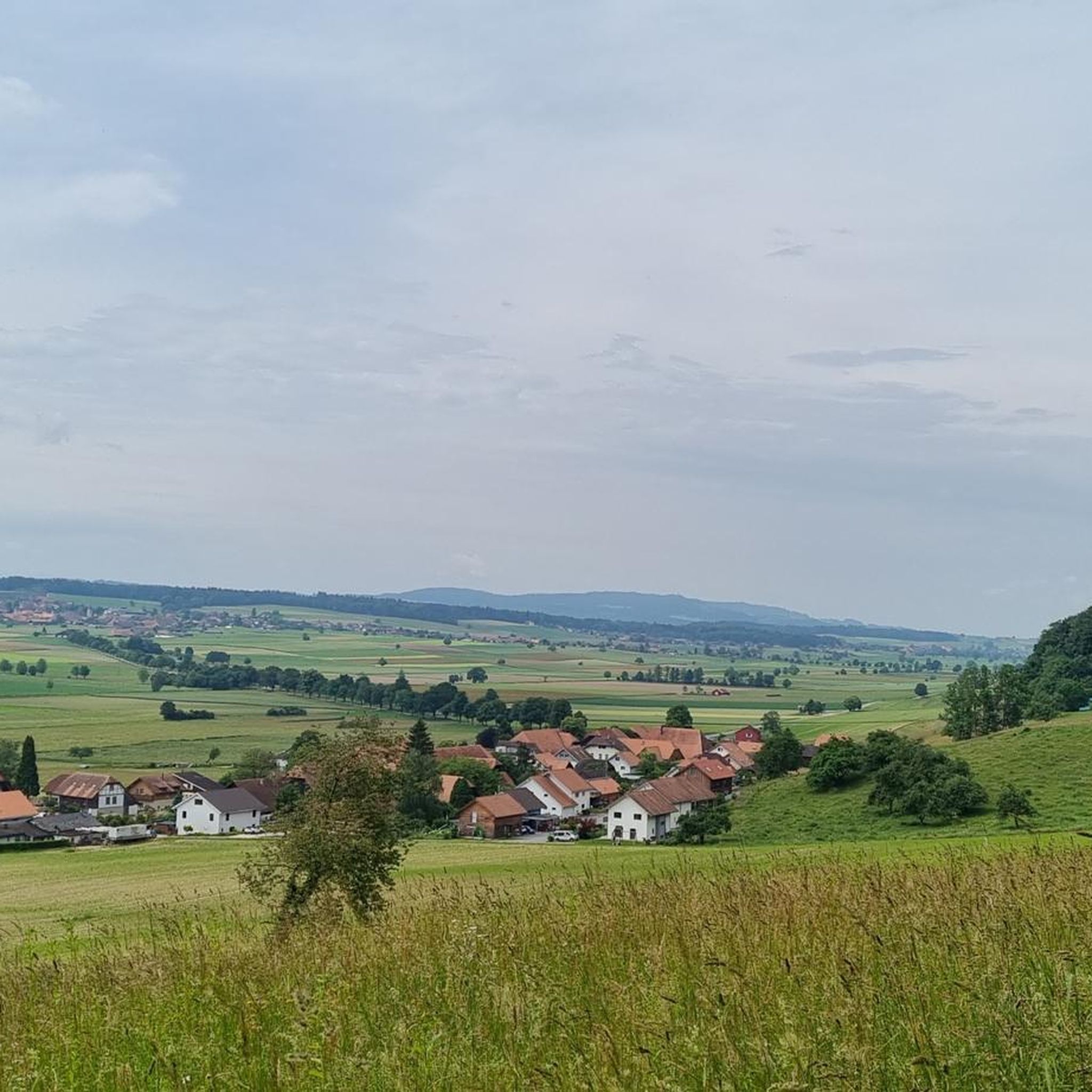
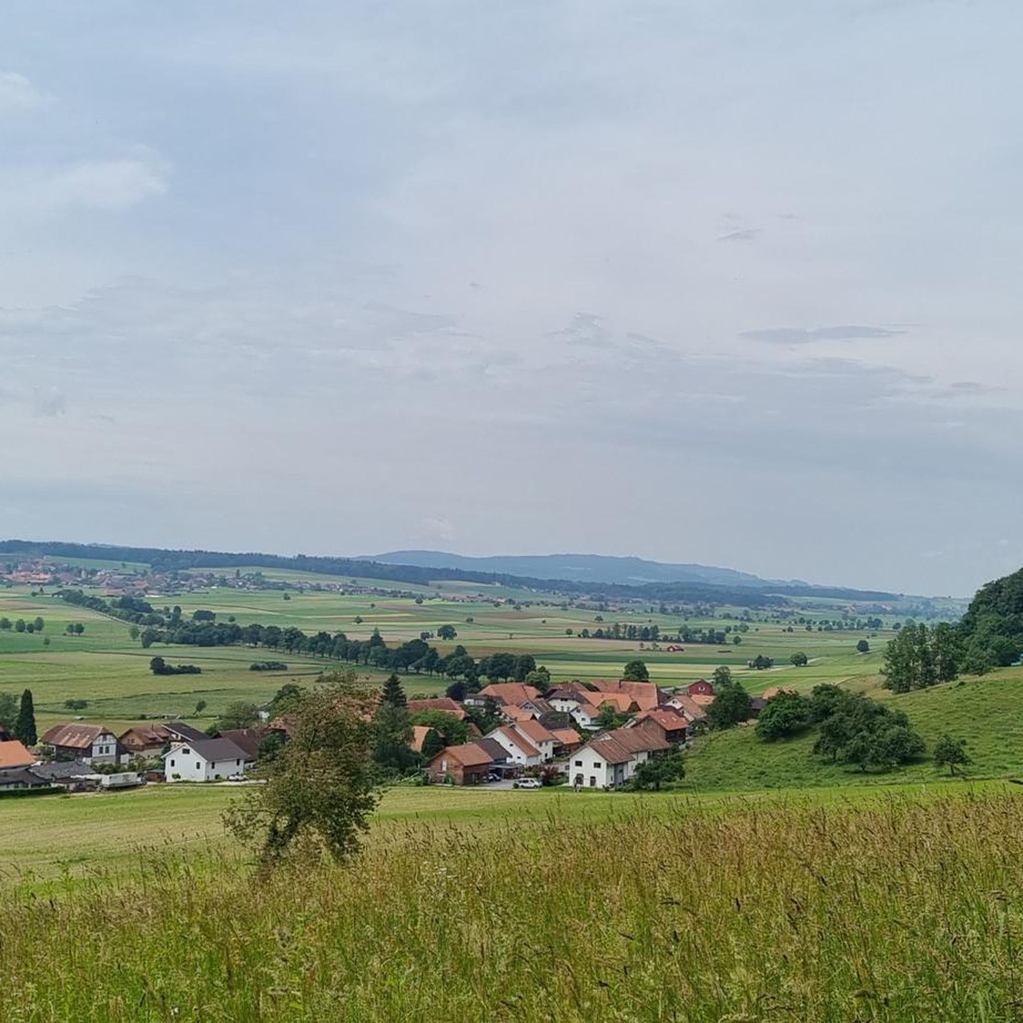
Touring cycling routes around Unterramsern traverse a landscape characterized by gentle rolling hills and fertile agricultural plains. The region features numerous river valleys, including the Emme and Aare, which offer relatively flat sections suitable for cycling. Elevation changes are generally moderate, with no peaks exceeding 200m, making it accessible for various fitness levels. The area is dotted with traditional farmhouses and historic village churches, providing scenic points of interest along the routes.
Best touring cycling routes around Unterramsern
- The most…
Last updated: October 5, 2026
4.5
(46)
351
riders
37.2km
02:21
290m
290m
Moderate bike ride. Good fitness required. Mostly paved surfaces. Suitable for all skill levels.
4.8
(4)
49
riders
35.2km
02:19
380m
390m
Moderate bike ride. Good fitness required. Mostly paved surfaces. Suitable for all skill levels.

5.0
(2)
25
riders
Moderate bike ride. Good fitness required. Mostly paved surfaces. Suitable for all skill levels.
4.3
(4)
16
riders
33.9km
02:20
400m
410m
Moderate bike ride. Good fitness required. Mostly paved surfaces. Suitable for all skill levels.
9
riders
20.1km
01:22
110m
110m
Easy bike ride. Great for any fitness level. Mostly paved surfaces. Suitable for all skill levels.
Get access to more routes and recommendations from other explorers.
Already have an account?
Our route recommendations are based on thousands of hikes, rides, and runs completed by other people on komoot.
Start today with a free account
Your next adventure awaits.
Tips from the Community

Solothurn really has a very worthwhile old town!
0
0

Top address, always great
0
0

With a little luck you might see a kingfisher here.
0
0

Drink a Kilkannan in the pub
0
0

From Kreuzackerquai on the south bank of the Aare, you have a beautiful view of the old town opposite. In summer, it's a popular spot for strolling and relaxing by the water.
1
0
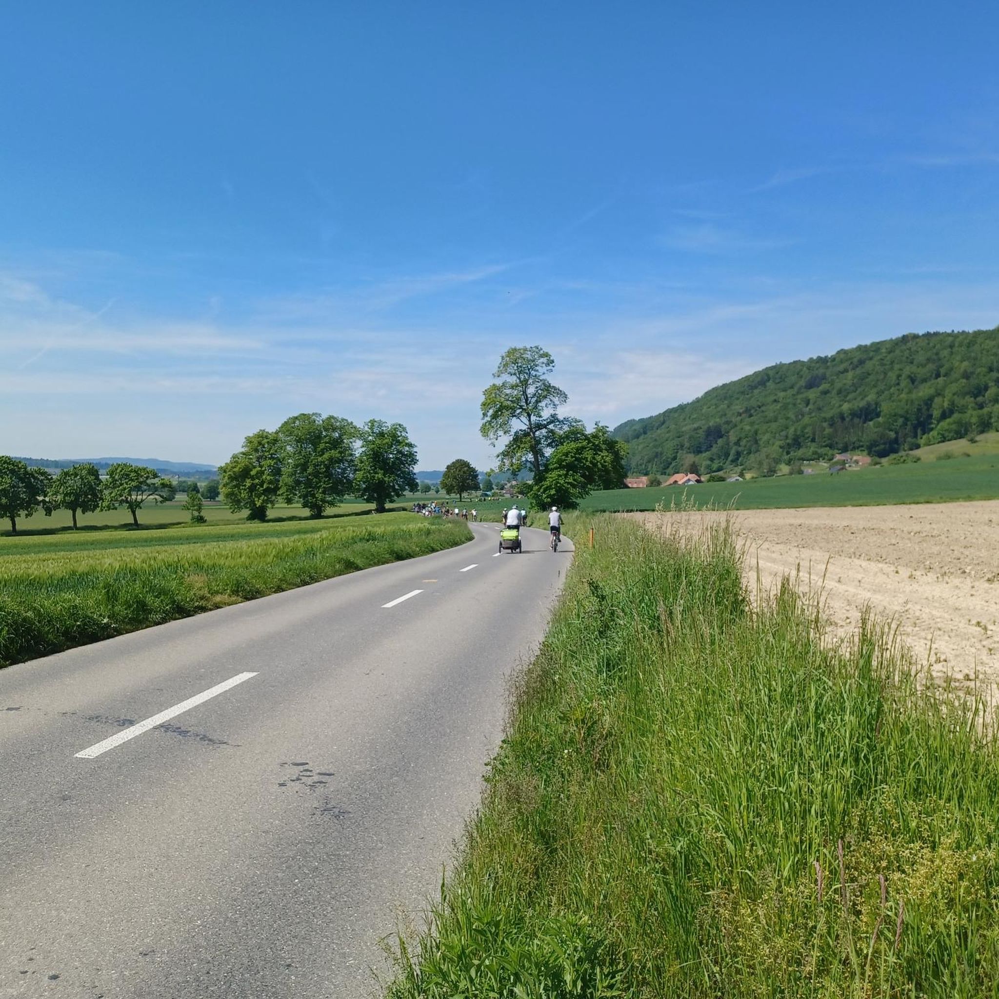
A picturesque stretch of road connects the communities of Lüterkofen-Ichertswil and Bibern. Riding gently up and down, you'll enjoy views over the expansive meadow landscape of the Bibern Valley.
0
0


Frequently Asked Questions
How many touring cycling routes are available around Unterramsern?
There are over 320 touring cycling routes in the Unterramsern area, offering a wide range of options for different skill levels and preferences. You can find routes categorized as easy, moderate, and difficult.
What is the general terrain like for touring cycling in Unterramsern?
The terrain around Unterramsern is characterized by gentle rolling hills and fertile agricultural plains. You'll find numerous river valleys, including the Emme and Aare, which provide relatively flat sections ideal for cycling. Elevation changes are generally moderate, making it accessible for various fitness levels.
Are there any easy touring cycling routes suitable for beginners or families?
Yes, there are over 115 easy routes. A great option for a relaxed ride is the Bridge Over the Emme – Emme River loop from Schalunen. This 20.1 km (12.5 miles) route follows the Emme River, offering gentle gradients and scenic views, perfect for beginners or a family outing.
What kind of attractions can I see along the touring cycling routes?
The routes often pass through areas dotted with traditional farmhouses and historic village churches. You can also explore natural highlights such as the Stork colony in Altreu, the Observation Tower at the Aare Nature Reserve, or the tranquil Meienriedseeli lake.
Are there any circular touring cycling routes in the Unterramsern area?
Many routes in the region are designed as loops. For example, the Attractive farmhouses – View of Solothurn loop from Bezirk Bucheggberg is a moderate 33.4 km (20.7 miles) circular route that showcases traditional architecture and offers views towards Solothurn.
What is the best season for touring cycling around Unterramsern?
The best seasons for touring cycling in Unterramsern are typically spring and autumn. During these times, the weather is generally mild, and the landscapes are particularly beautiful, with blooming fields in spring and vibrant foliage in autumn. Summer can also be pleasant, but be prepared for warmer temperatures.
What do other touring cyclists enjoy most about cycling in Unterramsern?
The area is highly rated by the komoot community, with an average score of 4.5 stars from over 600 reviews. Cyclists often praise the varied terrain, from river valleys to rolling agricultural land, and the charming historic village settings that make for a picturesque ride.
Are there any routes that offer views of the Aare river?
Yes, several routes incorporate the Aare river. The Church of Lüsslingen – Aare riverbank in Solothurn loop from Bezirk Bucheggberg is a 25.4 km (15.8 miles) moderate trail that leads directly through the river valleys and open fields along the Aare.
Are there any routes that highlight traditional architecture or farmhouses?
Absolutely. The Attractive farmhouses – Church of Lüsslingen loop from Bezirk Bucheggberg is a moderate 35.4 km (21.9 miles) route specifically designed to showcase the region's traditional architecture and agricultural scenery, including charming farmhouses.
What are the options for public transport access to cycling routes in Unterramsern?
Unterramsern and surrounding villages are generally well-connected by local bus services, which can often transport bicycles, especially outside of peak hours. For longer distances, regional trains serve nearby towns like Solothurn, from where you can cycle into the Unterramsern area. It's advisable to check specific schedules and bike transport policies with the local public transport providers.
Are there any less crowded touring cycling routes for a more peaceful experience?
While the main routes are popular, the extensive network of over 320 tours means you can often find quieter paths, especially on weekdays or by exploring some of the less-trafficked local farm roads. Look for routes that venture slightly off the main river paths into the agricultural plains for a more serene ride.
Where can I find parking for touring cycling routes near Unterramsern?
Parking is typically available in the larger villages and towns surrounding Unterramsern, such as Lüsslingen or Messen. Many trailheads near these villages offer designated parking areas. Always check local signage for specific parking regulations and fees.
Most popular routes around Unterramsern
Most popular attractions around Unterramsern

Get inspired with the komoot mobile app


Explore more
Browse the best Cycling routes in other regions.
