The best road cycling routes around Bad Schallerbach
4.5
(156)
7,111
riders
44
rides
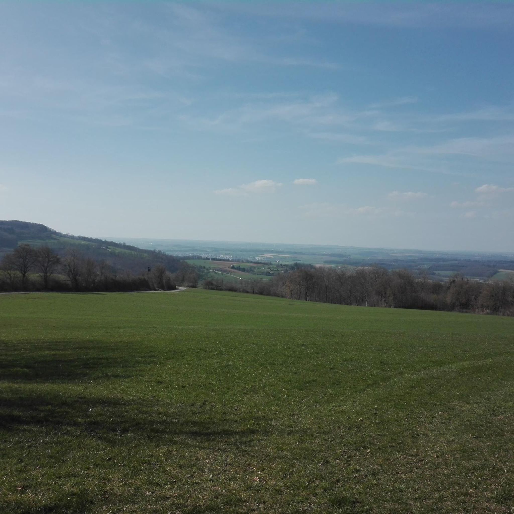
Road cycling routes around Bad Schallerbach are set within the Hausruckviertel region of Upper Austria. The area features rolling hills, picturesque forests, and expansive fields, providing a varied landscape for cyclists. The network of paths primarily consists of paved surfaces, making it suitable for road cycling. The region's terrain includes moderate elevation gains, offering diverse options for different fitness levels.
Best road cycling routes around Bad Schallerbach
- The most popular road cycling route is Kramer in der Au snack station – Bad Schallerbach loop from Bad Schallerbach-Wallern, a 15.6 miles (25.1 km) trail that takes 1 hour 8 minutes to complete. This moderate route navigates through the region's characteristic rolling terrain.
- Another top favourite among local road cyclists is Eferding – Into the Eferdinger Landl loop from Bad Schallerbach-Wallern, a moderate 41.0 miles (66.0 km) path. This route offers expansive fields and varied landscapes, suitable for longer rides.
- Local road cyclists also love the Grieskirchen Town Center – Trattnach River loop from Bad Schallerbach-Wallern, a 10.4 miles (16.7 km) trail leading through the Trattnachtal, often completed in about 39 minutes.
- Road cycling around Bad Schallerbach is defined by rolling hills, picturesque forests, and the scenic Trattnachtal. The network offers options for different ability levels, from easy loops to more challenging routes with significant climbs.
- The routes in Bad Schallerbach are highly rated by the komoot community with an average score of 4.3 stars from over 9 reviews. More than 578 road cyclists have used komoot to explore Bad Schallerbach's varied terrain.
Last updated: July 21, 2026
3.5
(2)
47
riders
Moderate road ride. Great for any fitness level. Some segments of this route may be unpaved and difficult to ride.
49
riders
66.0km
02:58
180m
180m
Moderate road ride. Good fitness required. Some segments of this route may be unpaved and difficult to ride.

Sign up for free
30
riders
Moderate road ride. Good fitness required. Some segments of this route may be unpaved and difficult to ride.
23
riders
Moderate road ride. Good fitness required. Mostly well-paved surfaces and easy to ride.
25
riders
33.0km
01:31
280m
280m
Moderate road ride. Great for any fitness level. Some segments of this route may be unpaved and difficult to ride.
Get access to more routes and recommendations from other explorers.
Sign up for free
Already have an account?
Our route recommendations are based on thousands of hikes, rides, and runs completed by other people on komoot.
Start today with a free account
Your next adventure awaits.
Login or Signup
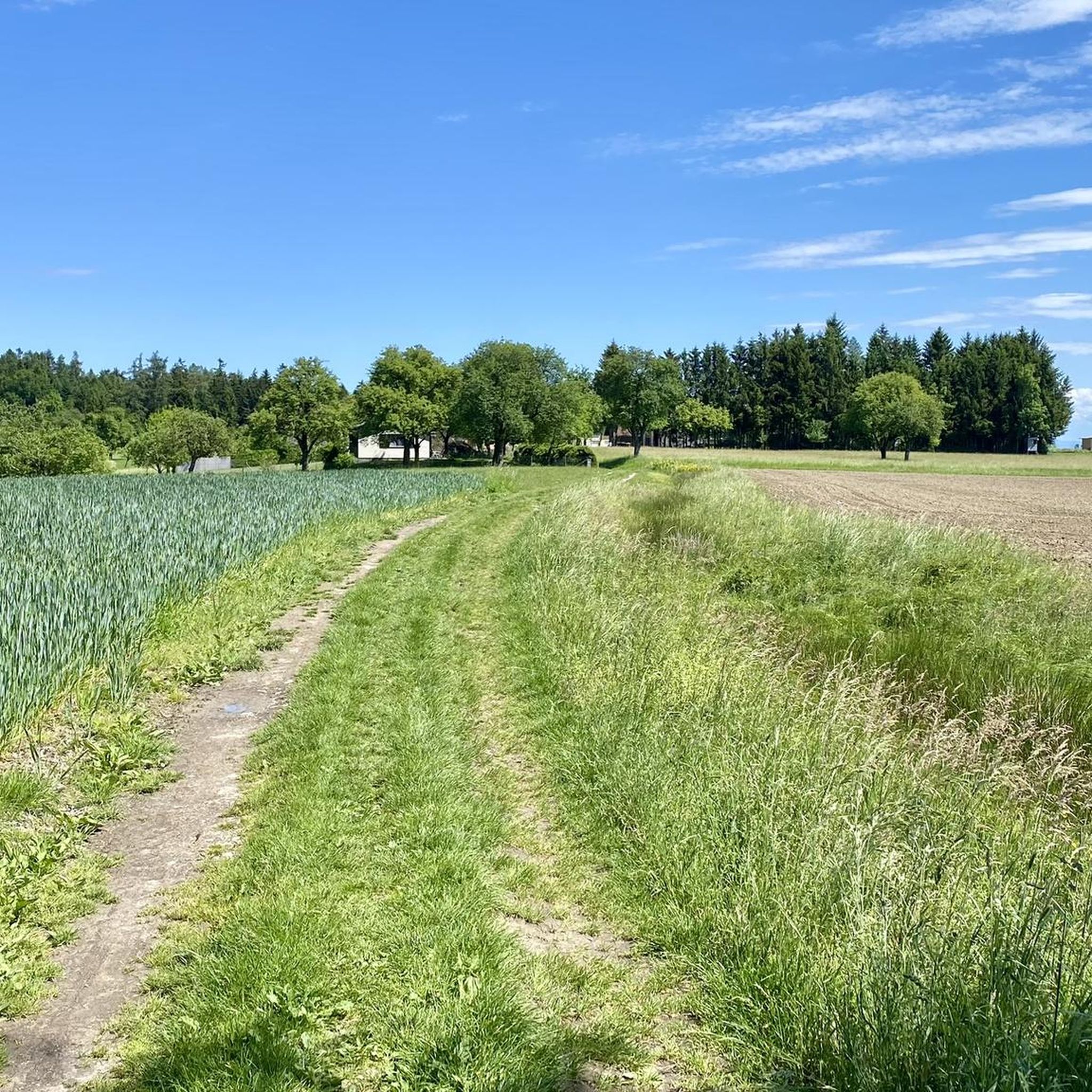
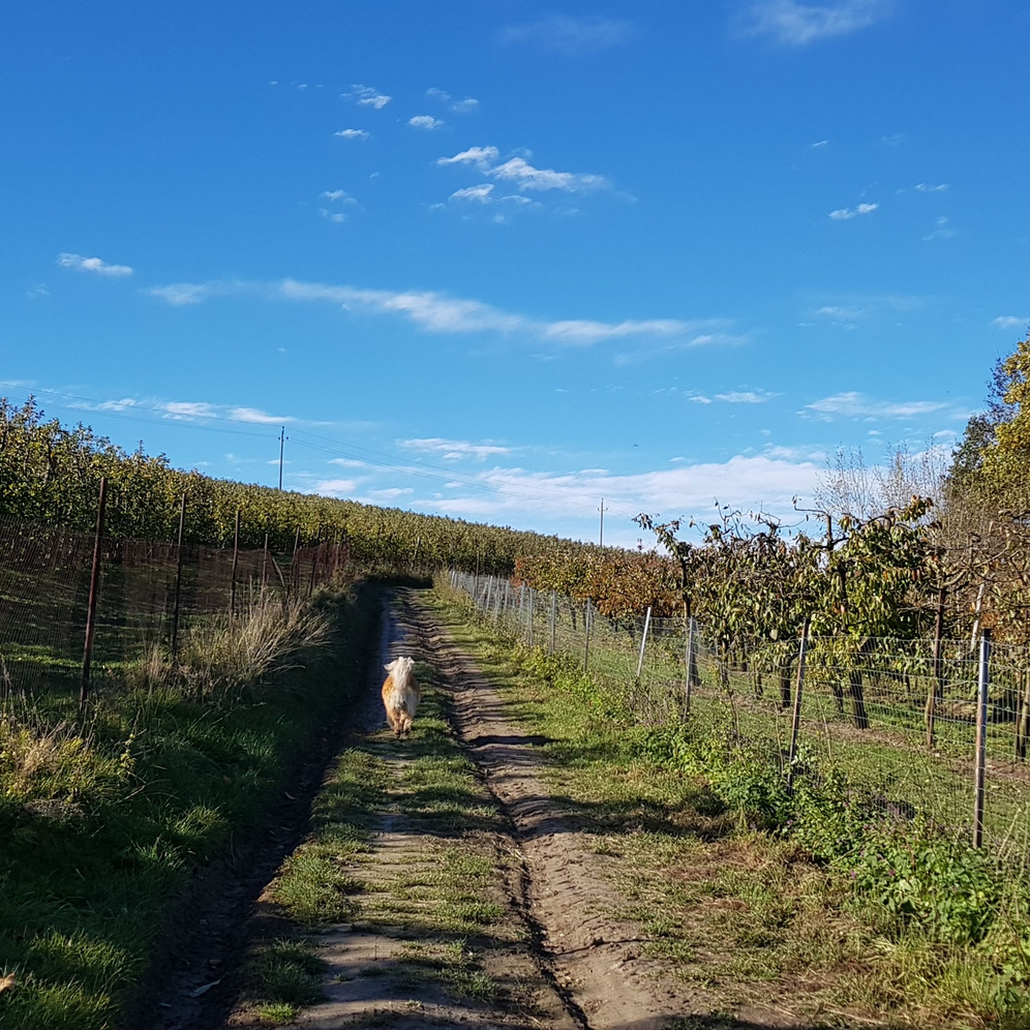
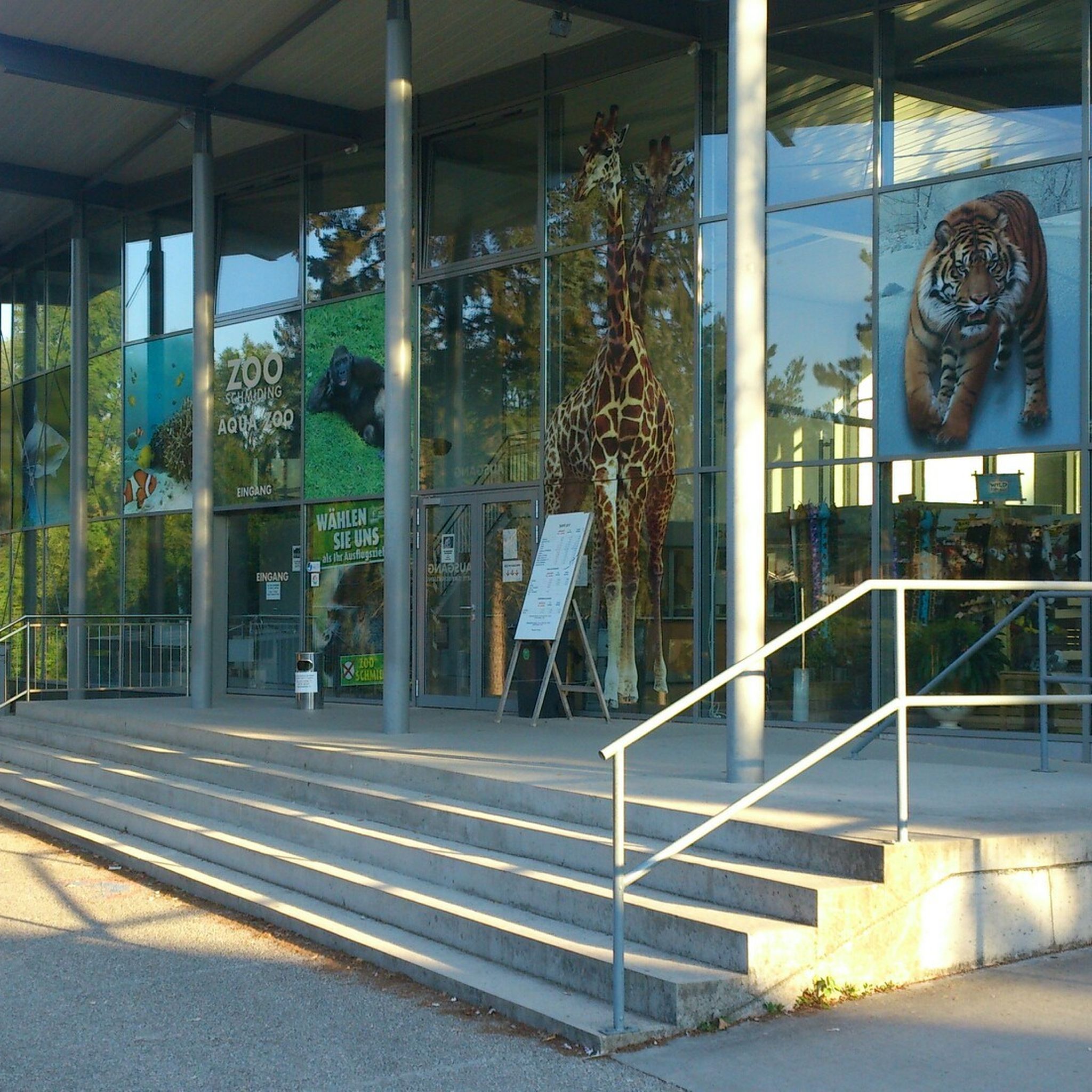
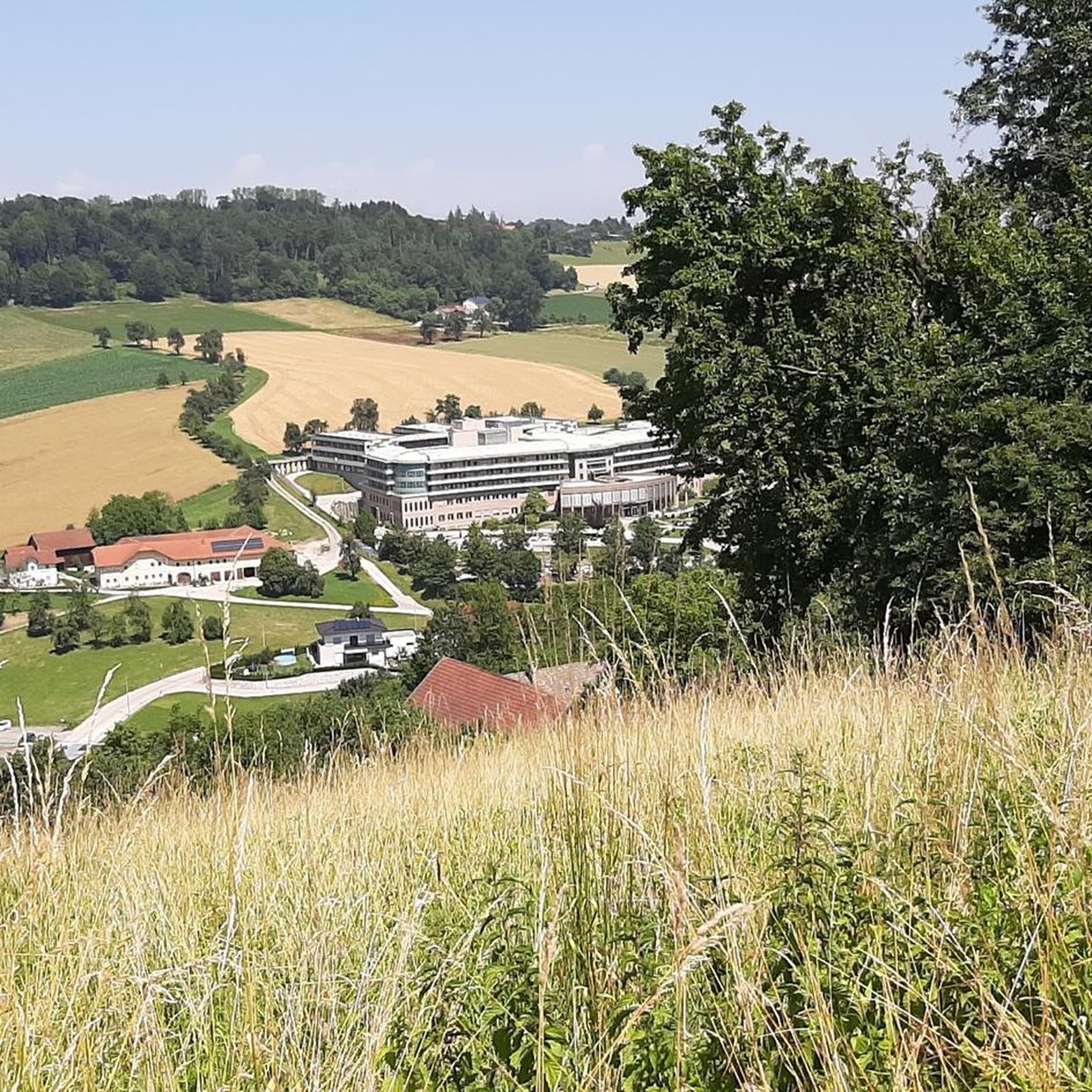
Tips from the Community

A castle worth seeing with a view over the Trattnach valley
0
0

The Trattnach is a river in the Innviertel region of Upper Austria, flowing through Bad Schallerbach and providing popular hiking and cycling trails. Bad Schallerbach, a spa town with thermal baths, lies directly on its banks. [bergwelten +2]
1
0

Huge, beautiful park to relax, hike, run, or take your dog.
2
0

The outdoor seating is cozy. The price/performance ratio is decent.
1
0

Beautiful view of the Danube and Aschach.
0
0

Great facility with town hall inside - beautiful courtyard!
0
0

beautiful cycle path
0
0

A very beautiful park behind the Aquapulco - worth seeing
2
0
Frequently Asked Questions
What kind of terrain can I expect when road cycling around Bad Schallerbach?
The Bad Schallerbach region, nestled in the Hausruckviertel, is characterized by its rolling hills, picturesque forests, and expansive fields. The cycling network primarily consists of paved surfaces, making it ideal for road cycling. You'll encounter moderate elevation gains, offering a varied and engaging backdrop for your rides.
Are there road cycling routes suitable for beginners or families in Bad Schallerbach?
Yes, Bad Schallerbach offers routes suitable for various fitness levels, including easier options. For instance, the Grieskirchen Town Center – Trattnach River loop from Bad Schallerbach-Wallern is an easy 16.7 km trail that leads through the scenic Trattnachtal. There are 10 easy routes in total, providing gentle introductions to the region's cycling.
What are some notable sights or attractions I can see along the road cycling routes?
Many routes offer views of the idyllic Hausruckviertel landscape. You might pass by the Botanica Park, a 22-hectare recreational oasis, or the famous sulfur springs, such as the Sulfur Thermal Spring Fountain in Kurpark. Some routes also offer viewpoints like Col de Breitwieser or a general Viewing platform, providing panoramic vistas of the area.
Are there any circular road cycling routes available in the Bad Schallerbach area?
Yes, many of the road cycling routes around Bad Schallerbach are circular, allowing you to start and end in the same location. A notable option is the Vitalwelt 7 Towns Route, an approximately 86 km circular route that connects several towns and offers a comprehensive tour of the region's landscapes. The Kramer in der Au snack station – Bad Schallerbach loop is another popular circular route.
What is the best time of year for road cycling in Bad Schallerbach?
The rolling hills and picturesque landscapes of Bad Schallerbach are enjoyable throughout the warmer months. Spring and autumn typically offer pleasant temperatures and beautiful scenery, while summer provides longer daylight hours. It's always advisable to check local weather conditions before heading out.
Where can I find parking for road cycling routes in Bad Schallerbach?
Bad Schallerbach is well-equipped for visitors, and you'll generally find parking options near the starting points of many routes, especially in and around the town center. Specific parking details can often be found on individual route descriptions on komoot.
Can I reach cycling routes by public transport with my bike in Bad Schallerbach?
Bad Schallerbach is connected by public transport. While specific bike transport policies vary by service, it is often possible to combine cycling with public transport, especially for routes that connect to larger hubs like the Danube Cycle Path. It's recommended to check with local transport providers for their current regulations regarding bicycle carriage.
What do other road cyclists enjoy the most about road cycling in Bad Schallerbach?
The road cycling routes in Bad Schallerbach are highly rated by the komoot community, with an average score of 4.3 stars from over 9 reviews. Cyclists often praise the varied terrain, from rolling hills to scenic forests and fields, and the well-maintained paved surfaces. The region's characteristic landscape and diverse route options for different ability levels are frequently highlighted.
Are there options for longer, more challenging road cycling rides in the area?
Absolutely. For those seeking a greater challenge, routes like the Eferding – Into the Eferdinger Landl loop from Bad Schallerbach-Wallern offer a moderate 66 km path with varied landscapes. The Hausruckviertel Circular Route also includes some short climbs, making it an engaging option for strong road cyclists. There are 5 difficult routes and 30 moderate routes available, providing plenty of options for longer distances and more significant elevation gains.
Are there any specific natural features to look out for while cycling?
The region is rich in natural beauty. The Trattnachtal, with the Trattnach river, is a prominent natural feature integrated into many routes, offering scenic views. The rolling hills of the Hausruckviertel, surrounded by forests and fields, provide a consistently picturesque backdrop for your ride.
Are there bike-friendly places to stop for refreshments or accommodation in Bad Schallerbach?
As a health resort and popular outdoor destination, Bad Schallerbach offers various cafes, pubs, and accommodation options. Many establishments are accustomed to cyclists and provide amenities like bike racks or secure storage. The town center of Offenhausen, for example, is a charming place to stop and explore.
Can I bring my dog on the road cycling trails around Bad Schallerbach?
While the region is generally outdoor-friendly, specific rules for dogs on cycling trails can vary. On paved road cycling routes, dogs are typically allowed if kept on a leash and under control. However, it's always best to check local signage or specific route descriptions for any restrictions, especially in nature reserve areas or on dedicated cycle paths.
How many road cycling routes are available around Bad Schallerbach?
There are over 40 road cycling routes around Bad Schallerbach listed on komoot, catering to various skill levels. This includes 10 easy, 30 moderate, and 5 difficult routes, ensuring a diverse range of options for every cyclist.
Most popular routes around Bad Schallerbach
Most popular attractions around Bad Schallerbach

Get inspired with the komoot mobile app


Explore more
Browse the best Road cycling routes in other regions.
