The best traffic-free bike rides around Bad Schallerbach
4.5
(8)
101
riders
4
rides
Gravel biking around Bad Schallerbach offers routes through the varied terrain of Upper Austria, characterized by accessible green spaces, local streams, and elevated points. The region provides a mix of landscapes, including forests, river valleys, and gentle hills, suitable for gravel exploration. Riders can expect routes that combine paved sections with gravel paths, often away from busy roads. This environment supports diverse cycling experiences, from riverside paths to routes with moderate elevation gains.
Best no traffic gravel bike trails around…
Last updated: August 6, 2026
4.5
(8)
82
riders
43.1km
02:19
100m
100m
Hard gravel ride. Good fitness required. You may need to push your bike for some segments of this route.
8
riders
27.0km
01:45
290m
290m
Moderate gravel ride. Good fitness required. Mostly paved surfaces. Suitable for all skill levels.

Sign up for free
6
riders
38.0km
02:32
450m
450m
Moderate gravel ride. Good fitness required. Mostly paved surfaces. Suitable for all skill levels.
1
riders
11.3km
00:48
190m
190m
Moderate gravel ride. Good fitness required. Mostly paved surfaces. Suitable for all skill levels.
3
riders
28.5km
02:01
480m
480m
Hard gravel ride. Very good fitness required. You may need to push your bike for some segments of this route.
Our route recommendations are based on thousands of hikes, rides, and runs completed by other people on komoot.
Start today with a free account
Your next adventure awaits.
Login or Signup
Popular around Bad Schallerbach

Tips from the Community

Beautiful, very large complex that is excellently maintained!👍
0
0

In the Zwergenwald. A very lovingly designed path.
0
0

Pupping is a municipality with 1792 inhabitants in Upper Austria in the district of Eferding in the Hausruckviertel region.
0
0

Ottensheim-Wilhering Power Plant and Lock! This impressive facility on the Danube plays an important role in energy generation and shipping. Here are some interesting aspects: ### General Information - **Location**: The power plant and lock are located in the municipality of **Wilhering** in **Upper Austria**. - **Year of Construction**: The power plant was built from **1970 to 1975** and is a run-of-river power plant. ### Technical Features 1. **Lock**: - The lock has **two lock chambers** measuring **230 × 24 m**. - It allows ships to pass through and overcomes the height difference in the river. 2. **Power Plant**: - The power plant has an **capacity** of approximately **30 MW** and uses the current of the Danube to generate electricity. - It is part of a project with **72 million euros** being invested to ensure the lifespan and efficiency of the power plant for another **50 years**. 3. **Water level**: - The river dam length is **16 km**, and the dam target is at an altitude of approximately **250 m**. ### Significance - **Energy generation**: The power plant contributes significantly to the region's electricity supply and is an important component of renewable energy sources in Austria. - **Shipping**: The lock is a central point for inland navigation on the Danube, enabling the transport of goods and passengers. ### Summary The **Ottensheim-Wilhering power plant and lock** are not only technical masterpieces, but also crucial elements for the energy supply and shipping in the region. A visit to this facility offers exciting insights into the world of hydropower and engineering! ✨
2
0

Fastest connection between Danube north of Ottensheim - Feldkirchen and Danube south of Wilhering - Alkoven
0
0

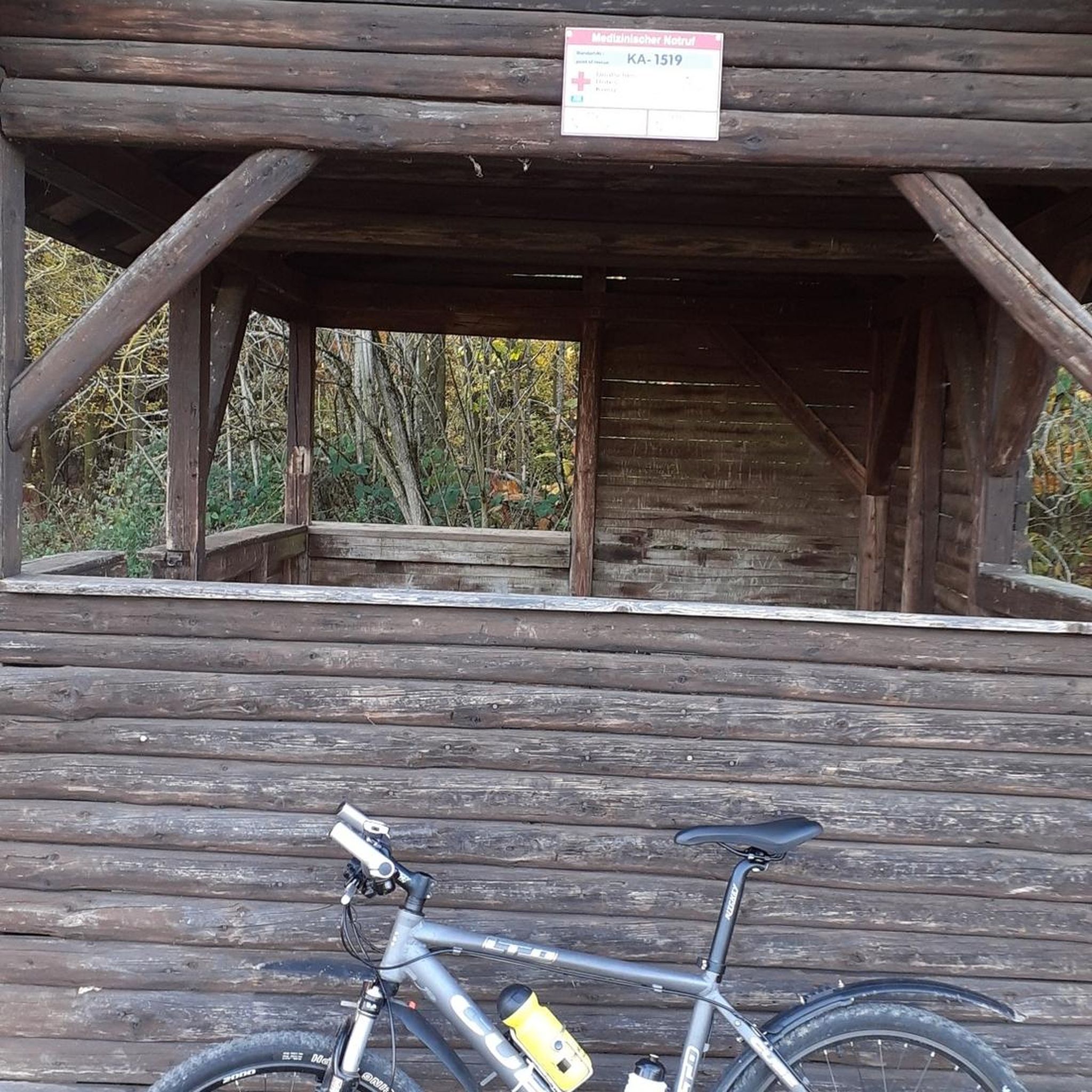
The Mayrhofberg is adorned with a tower and a summit cross with some benches.
2
0

Well, the hike went okay. The observation tower is nice with a nice view, but the trail is very poorly signposted.
2
0

At 441 meters above sea level, it is the highest country inn in the Linz-Land district
5
0
Frequently Asked Questions
How many no-traffic gravel bike trails are available around Bad Schallerbach?
There are 4 dedicated no-traffic gravel bike trails detailed in this guide, offering a variety of experiences away from busy roads. These routes are specifically curated to provide a peaceful and enjoyable gravel biking experience.
What kind of terrain can I expect on no-traffic gravel bike trails near Bad Schallerbach?
The terrain around Bad Schallerbach for no-traffic gravel biking is quite varied, reflecting Upper Austria's diverse landscape. You can expect a mix of gravel paths, forest tracks, and some paved sections, often along local streams and through green spaces. The region is known for its 'granite under your tyres' in some areas, offering a true gravel experience, with 'hills in view' providing scenic ascents and descents.
Are the no-traffic gravel trails around Bad Schallerbach suitable for beginners?
While the routes in this guide are generally classified as moderate to difficult, the region offers varied terrain. For a moderate challenge, consider the Grieskirchen Town Center – Bad Schallerbach Spa Park loop from Gallspach, which covers 27 km with a manageable elevation gain. It's always good to check the specific route details for elevation and distance to match your fitness level.
What natural features or landmarks can I see on these no-traffic gravel bike trails?
Many routes offer scenic views and pass by interesting points. For example, the View of Scharten – View from Aichberg loop from Eferding Gewerbegebiet provides excellent vistas. You might also encounter local streams and elevated points offering panoramic views of the surrounding landscape. The broader area also features attractions like the Botanica Park, a 22-hectare natural park with diverse plant life.
Is parking available near the starting points of these no-traffic gravel trails?
Yes, many of the routes start from towns or areas where parking is typically available. For instance, routes starting from Eferding or Gallspach usually have designated parking areas nearby, making it convenient to access the trails. It's advisable to check specific starting points for detailed parking information.
Can I reach the no-traffic gravel trails around Bad Schallerbach by public transport?
Bad Schallerbach and surrounding towns are generally accessible by public transport within Upper Austria. While specific trailheads might require a short ride or walk from a station, the regional network can get you close to many starting points. For example, routes originating from Eferding are often well-connected.
What is the best time of year to go gravel biking around Bad Schallerbach?
The spring, summer, and early autumn months generally offer the best conditions for gravel biking around Bad Schallerbach. During these seasons, the weather is typically mild, and the trails are dry and well-maintained. The varied landscapes, including forests and river paths, are particularly beautiful during these times.
Are there family-friendly no-traffic gravel bike routes in Bad Schallerbach?
While the routes in this guide are rated moderate to difficult, the region's focus on accessible green spaces and wide cycle paths suggests that easier, family-friendly sections might be found. For a dedicated family outing, consider exploring the flatter sections along local streams or within the Botanica Park, though these might not be full gravel routes.
Are dogs allowed on the no-traffic gravel bike trails around Bad Schallerbach?
Generally, dogs are welcome on many outdoor trails in Upper Austria, especially if kept on a leash. However, specific regulations can vary by park or protected area. It's always best to check local signage or specific route details if you plan to bring your dog, ensuring a pleasant experience for everyone.
What do other gravel bikers enjoy the most about gravel biking in Bad Schallerbach?
The area is highly rated by the komoot community, with an average score of 3.7 stars. Reviewers often praise the quiet, traffic-free nature of the routes, the beautiful natural scenery, and the varied terrain that makes for an engaging gravel biking experience. The blend of accessible green spaces and elevated viewpoints is frequently highlighted.
Are there any longer, more challenging no-traffic gravel routes for experienced riders?
Yes, for experienced riders seeking a longer challenge, the Feldkirchner Lakes – Pupping Franciscan Monastery loop from Eferding offers a substantial 43 km ride with a 'difficult' rating, providing a rewarding experience through varied landscapes. Another option is the Mayrhofberg Observation Tower – Aschachtal loop from Manzing-Prambach, which is 28.5 km and also rated 'difficult'.
Can I find places to eat or stay near the no-traffic gravel bike trails?
Bad Schallerbach is well-known for its amenities, including thermal spas and various accommodations. Many of the routes pass near or through charming villages and towns like Grieskirchen or Eferding, where you can find cafes, restaurants, and guesthouses to refuel and relax after your ride. The town of Bad Schallerbach itself offers numerous options for dining and overnight stays.
Most popular routes around Bad Schallerbach
Most popular attractions around Bad Schallerbach

Get inspired with the komoot mobile app


Explore more
Browse the best Gravel rides in other regions.
