The best road cycling routes around Conco
4.4
(946)
29,780
riders
203
rides
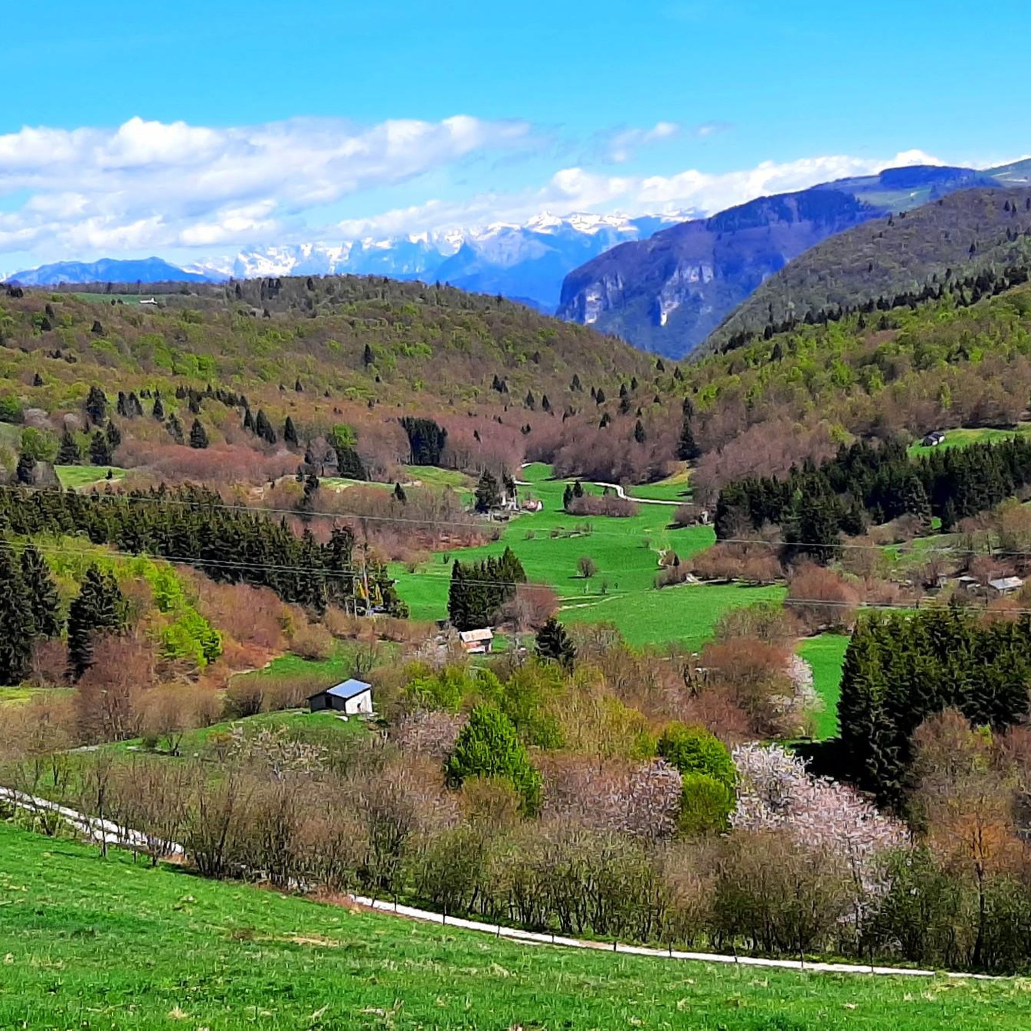
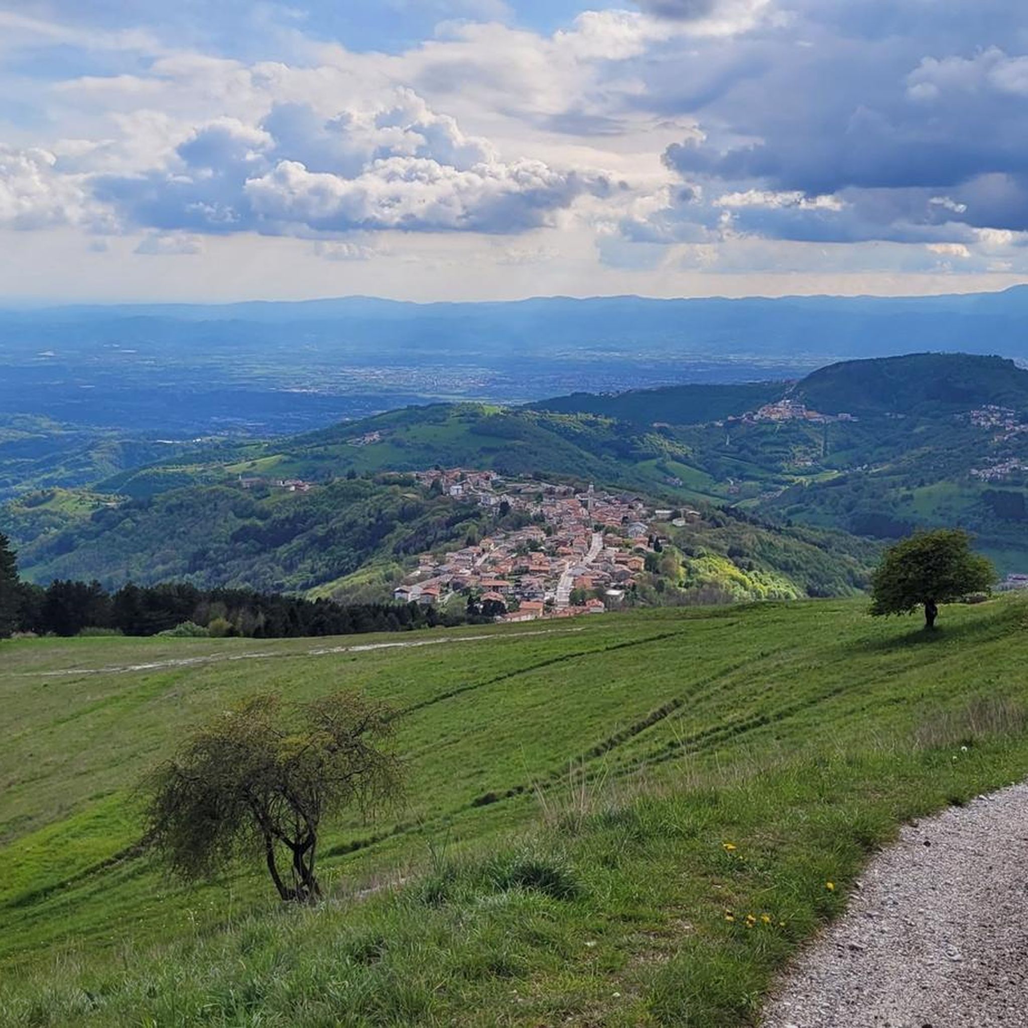
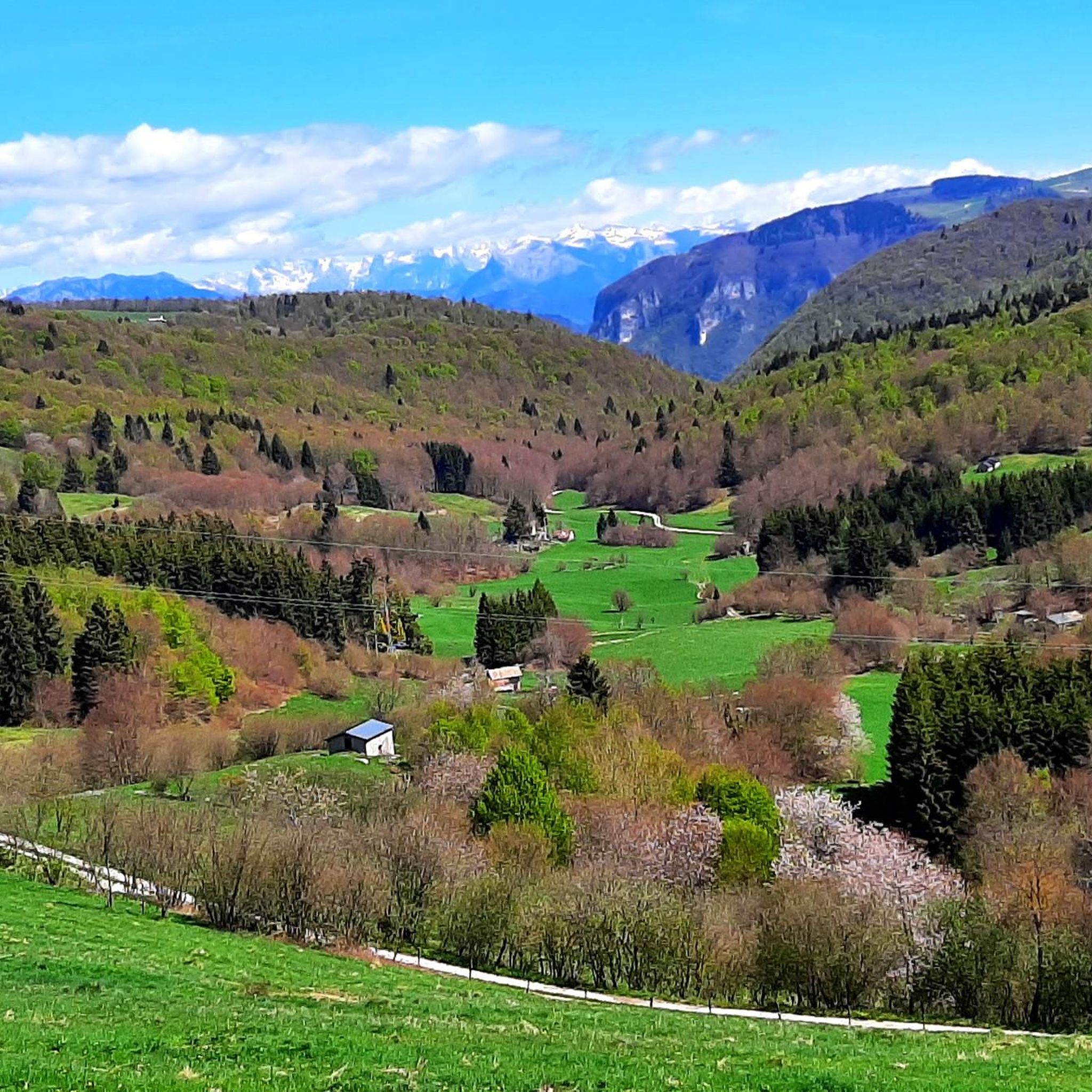
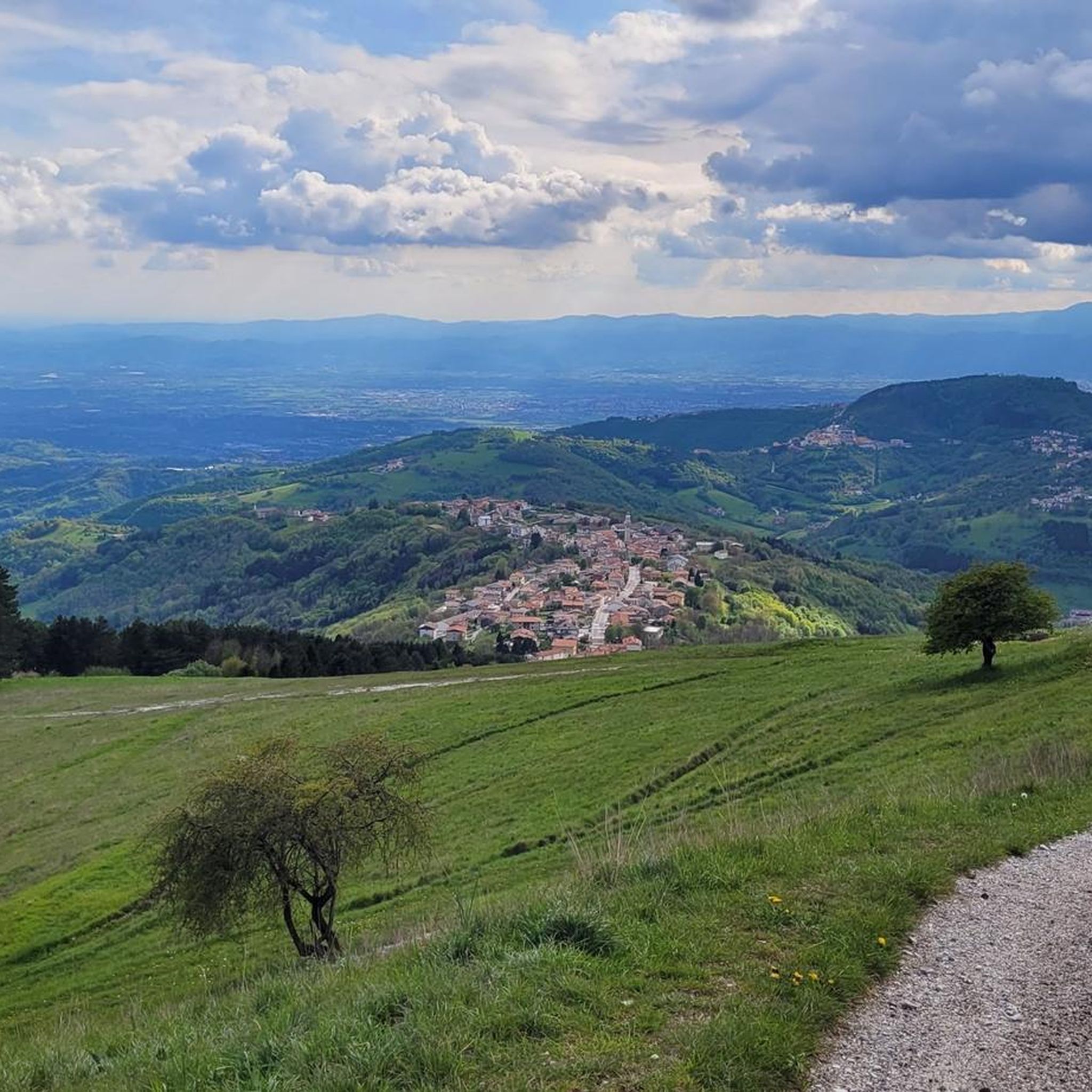
Road cycling routes around Conco are situated on the Asiago plateau in the Veneto region of Italy, offering a diverse landscape for cyclists. The area features a mix of challenging terrains and scenic routes, winding through pastures, pine forests, and beech forests. Cyclists encounter varied elevation changes, with routes traversing mountains like Malcroba and Montagnanova, and providing expansive views from higher points.
Best road cycling routes around Conco
- The most popular road cycling route is View of Valstagna – Primolano…
Last updated: October 27, 2026
4.9
(15)
372
riders
92.0km
05:14
2,030m
2,030m
Hard road ride. Very good fitness required. Some segments of this route may be unpaved and difficult to ride.
5.0
(1)
117
riders
47.5km
02:22
760m
760m
Moderate road ride. Good fitness required. Mostly well-paved surfaces and easy to ride.

5.0
(3)
81
riders
30.9km
01:33
500m
500m
Moderate road ride. Good fitness required. Mostly well-paved surfaces and easy to ride.
3.8
(4)
91
riders
29km
01:37
630m
630m
Moderate road ride. Good fitness required. Mostly well-paved surfaces and easy to ride.
4.0
(1)
61
riders
49.3km
02:46
1,070m
1,070m
Hard road ride. Very good fitness required. Mostly well-paved surfaces and easy to ride.
Get access to more routes and recommendations from other explorers.
Already have an account?
Our route recommendations are based on thousands of hikes, rides, and runs completed by other people on komoot.
Start today with a free account
Your next adventure awaits.

Tips from the Community

Marostica is a splendid medieval walled city located in Veneto, in the province of Vicenza, famous all over the world for its extraordinary living chess game and for the production of the IGP cherry. Nestled between the hills and the plain, it offers a perfect combination of history, architecture and local traditions
0
0

Cima di Campo (1,425–1,512 m) in Arsiè is a well-known mountain and alpine pass in the Belluno Dolomites, famous for its cycling climb, the Forte Leone from World War I, and hiking routes. Length: Approximately 18.5 km starting from the center of Arsiè. Elevation gain and Gradient: 1,111 meters of elevation gain with an average gradient of 6% and double-digit peaks in the initial sections towards Mellame and Col Perer. Famous for being the first iconic climb of the Dolomiti Bellunesi cycling granfondo. Forte Leone: A large armored military fortress built between 1906 and 1912 to defend the border, currently undergoing renovation.
1
0
historic mountain road with eight hairpin bends, the Tagliata della Scala and the Tagliata delle Fontanelle. They are located between the Valsugana and the territory of Feltre, in Veneto. The fortifications: Between 1892 and 1895, the Tagliata della Scala in the lower part and the Tagliata delle Fontanelle in the upper part were built to defend the border. The walkway: The two parts are joined by a long covered gallery with loopholes. War: They did not play a major military role during World War I and were later abandoned.
0
0

The cycle path towards Cismon del Grappa, very cool and shaded.
0
0
Fortification built in a natural cave. In the Great War it was a blocking point defending Valsugana. There are references to it as a fortification around the year 1000.
0
0
The Murello road, the route of the old military road, allows you to reach Castel Tesino and the Brocon pass from Grigno. Striking panoramic views.
0
0
The Murello road, with appropriate adaptations, follows the route of the old military mule track.
0
0

The Rialto Bridge of Valstagna is an important infrastructural work located in the municipality of Valbrenta, in the province of Vicenza. Crossing the Brenta river, this bridge historically connects the inhabited area of Valstagna, on the right bank, to the hamlet of Carpanè and the SS 47 of Valsugana, on the left bank, representing a vital hub for local traffic and for cycle tourists on the Brenta Cycle Path. Recently, the structure has undergone a radical restoration and safety intervention, which concluded with its reopening in the summer of 2025. The works, worth over one million euros, have made it possible to repair the damaged parts, widen the roadway, and create a protected pedestrian walkway. A spectacular LED lighting system has also been installed, which colors the bridge during historical events such as the Palio delle Zattere.
0
0
Frequently Asked Questions
How many road cycling routes are available around Conco?
Conco, situated on the Asiago plateau, offers an extensive network of road cycling routes. There are over 200 routes available, catering to various skill levels from easy to difficult. The komoot community has explored over 27,000 of these routes.
What kind of terrain can I expect when road cycling in Conco?
The terrain around Conco is diverse, featuring a mix of challenging climbs and scenic stretches. You'll cycle through pastures, pine forests, and beech forests, encountering varied elevation changes as routes traverse mountains like Malcroba and Montagnanova. From higher points like Rubbio (1057m), you can enjoy expansive views of the plateau, the small Dolomites, Monte Grappa, and even the Pale di San Martino on clear days.
Are there easy road cycling routes suitable for beginners in Conco?
Yes, Conco offers routes suitable for beginners. Out of the over 200 available routes, 34 are classified as easy. An example of an easy route is the Valstagna and the River Brenta – View of Valstagna loop from Carpanè - Valstagna, which covers about 27.7 km.
What are some notable landmarks or points of interest along the road cycling routes in Conco?
Conco's routes are rich in natural beauty and historical significance. You might encounter historical features from the Great War, as the area was a front-line territory. For specific points of interest, consider exploring highlights like the Mount Corno Monument or various mountain huts such as Malga Lora and Malga Montagnanova, which offer glimpses into the region's past and present.
Are there any circular road cycling routes in Conco?
Yes, many of Conco's road cycling routes are designed as loops. For instance, the LOCALITA SASSO|STOCCAREDO – Asiago Town Center loop from Conco is a moderate 32.6 km route offering varied landscapes. Another option is the Valgàdena Bridge – Asiago Town Center loop from Goccia, a 49.5 km trail through diverse terrain.
What do other road cyclists say about the routes in Conco?
The road cycling routes in Conco are highly regarded by the komoot community, holding an average rating of 4.4 stars from over 600 reviews. Cyclists often praise the diverse landscapes, from challenging mountain ascents to scenic forest paths, and the expansive panoramic views available from higher elevations.
Are there any challenging road cycling routes for experienced riders in Conco?
Absolutely. Conco offers 78 difficult routes for experienced road cyclists seeking a challenge. A prime example is the View of Valstagna – Primolano Steps loop from San Nazario, a demanding 93 km trail with significant elevation gains and panoramic views.
Can I find places to eat or drink near the road cycling routes in Conco?
While specific cafes or pubs are not listed, the region is known for its mountain huts (malghe) which often offer refreshments and local cuisine. You might find options like Pozza del Favero Hut or Boscon Bivouac along or near some routes, providing a chance to refuel.
What kind of views can I expect on the road cycling routes around Conco?
Conco's location on the Asiago plateau provides stunning panoramic views. From elevated points, you can often see the Venetian plain, the small Dolomites, Monte Grappa, and even the Pale di San Martino. The routes themselves wind through picturesque pastures, dense pine, and beech forests, offering a constantly changing scenic backdrop.
Is it possible to combine road cycling with other outdoor activities in the Conco area?
Yes, Conco is a privileged destination for various outdoor activities. Beyond road cycling, the area is excellent for hiking and mountain biking, with routes like 'The seven rings of Rubbio' offering a mix of secondary roads, dirt paths, and mule tracks. There are also several bike parks nearby, featuring trails like the Singletrack along the west bank of the Brenta River, if you wish to explore different cycling disciplines.
Are there any routes that lead to nearby towns or attractions from Conco?
Yes, some routes connect Conco to other notable locations. For example, the LOCALITA SASSO|STOCCAREDO – Asiago Town Center loop from Conco leads towards the Asiago Town Center, offering a chance to explore this regional hub. Another route, Descent to Bassano del Grappa – Pradipaldo drinking fountain loop from Marsan, takes you towards Bassano del Grappa.
What is the best time of year for road cycling in Conco?
While specific seasonal conditions are not detailed, the Asiago plateau region generally offers pleasant cycling conditions from spring through autumn. The diverse landscapes, including forests and pastures, suggest that late spring and early autumn would provide comfortable temperatures and beautiful scenery. Always check local weather forecasts before heading out.
Most popular attractions around Conco

Get inspired with the komoot mobile app


Explore more
Browse the best Road cycling routes in other regions.
