The best road cycling routes around Gaggio Montano
4.6
(143)
4,144
riders
148
rides
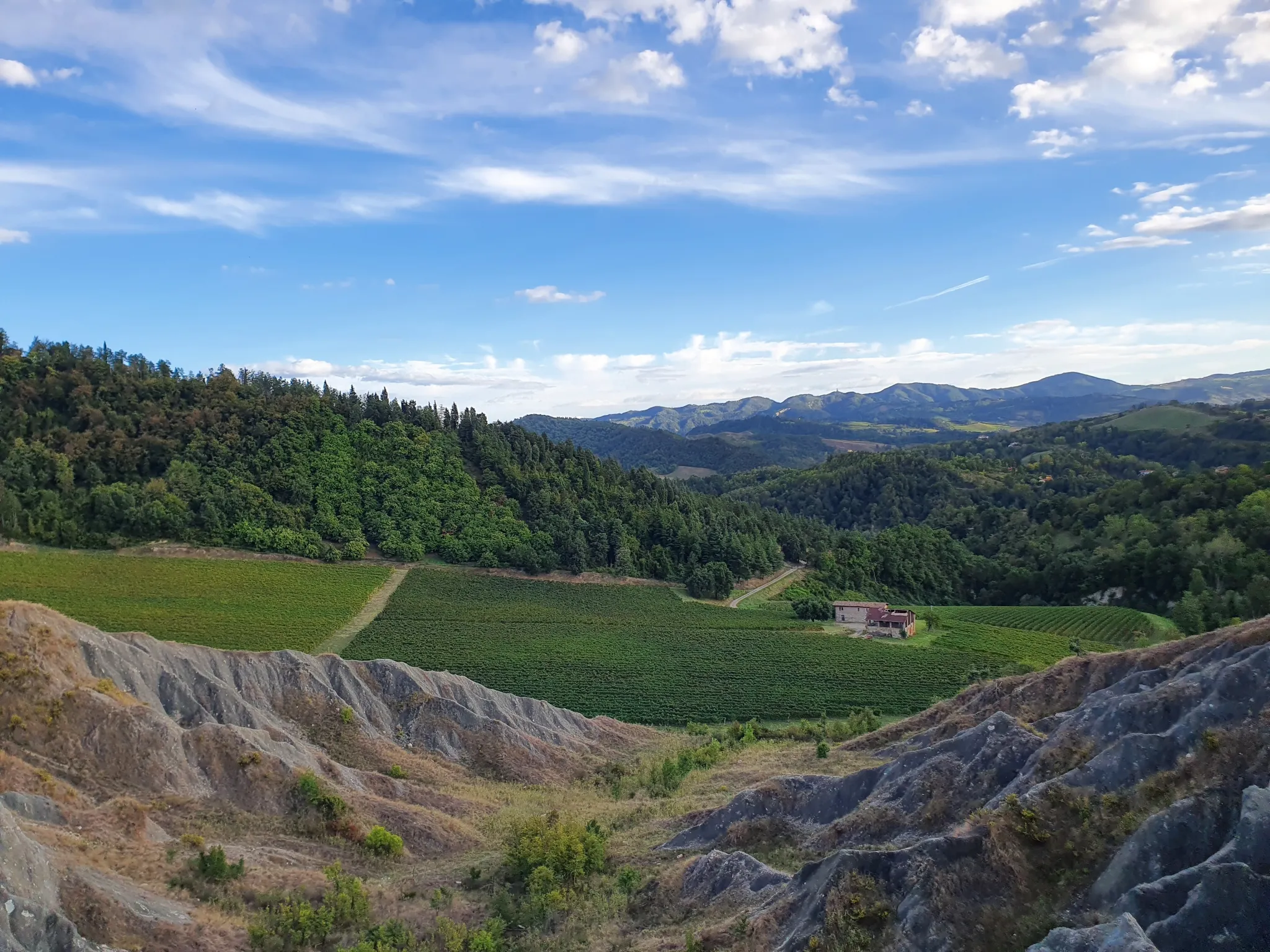
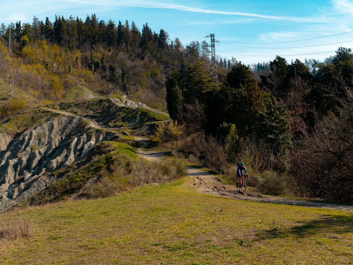
Road cycling routes around Gaggio Montano are situated within the Bolognese Apennines, offering a mountainous backdrop with scenic roads and varied terrain. The region features exhilarating climbs and descents, providing panoramic views of the Silla and Alto Reno Valleys. Cyclists encounter a landscape characterized by Apennine peaks, forested areas, and historic villages. This area is connected to the Ciclovia Appenninica, Italy's longest cycle route.
Best road cycling routes around Gaggio Montano
- The most popular road cycling route is Ring tour of the three lakes Pavana, Suviana and Brasimone from Riola, a 35.0 miles (56.3 km) trail that takes 2 hours 55 minutes to complete. This route offers views of multiple lakes and the surrounding Apennine landscape.
- Another top favourite among local road cyclists is Gaggio Montano, Porretta Terme, and Granaglione Loop, a difficult 34.4 miles (55.3 km) path. It connects several local towns through varied terrain in the Bolognese Apennines.
- Local road cyclists also love the Palazzo Rossi Suspension Bridge loop from Silla, a 64.9 miles (104.5 km) trail leading through mountainous topography, often completed in about 4 hours 24 minutes.
- Road cycling around Gaggio Montano is defined by mountainous topography, deep valleys, and historic villages. The network offers options for easy, moderate, and difficult ability levels.
- The routes in Gaggio Montano are highly rated by the komoot community with an average score of 4.6 stars from over 130 reviews. More than 3800 road cyclists have used komoot to explore Gaggio Montano's varied terrain.
Last updated: May 11, 2026
4.7
(3)
59
riders
56.3km
02:56
990m
990m
Hard road ride. Very good fitness required. Mostly well-paved surfaces and easy to ride.
5.0
(1)
33
riders
55.3km
03:03
1,180m
1,180m
Hard road ride. Very good fitness required. Mostly well-paved surfaces and easy to ride.

Sign up for free
4.8
(5)
293
riders
116km
04:56
900m
900m
Hard road ride. Very good fitness required. Mostly well-paved surfaces and easy to ride.
5.0
(2)
193
riders
47.1km
02:29
810m
810m
Moderate road ride. Good fitness required. Mostly well-paved surfaces and easy to ride.
62
riders
93.4km
04:57
1,770m
1,770m
Hard road ride. Very good fitness required. Some segments of this route may be unpaved and difficult to ride.
Get access to more routes and recommendations from other explorers.
Sign up for free
Already have an account?
Our route recommendations are based on thousands of hikes, rides, and runs completed by other people on komoot.
Start today with a free account
Your next adventure awaits.
Login or Signup
Popular around Gaggio Montano



Tips from the Community

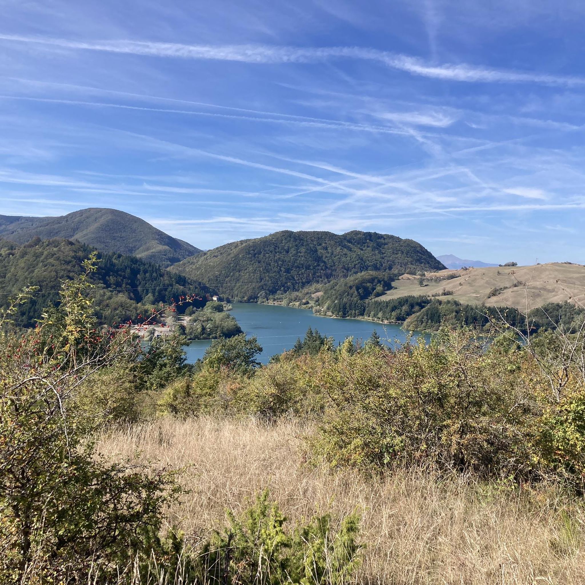
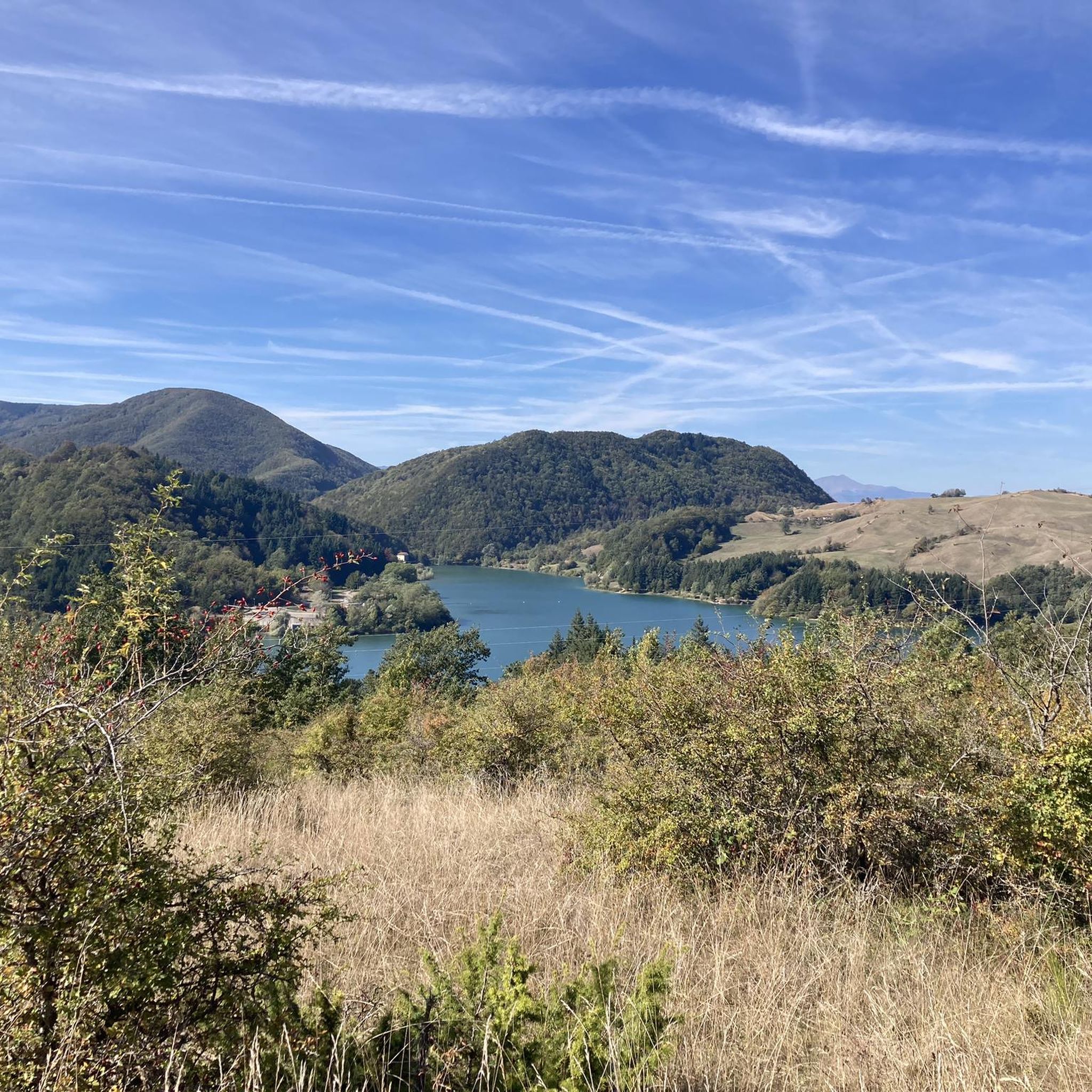
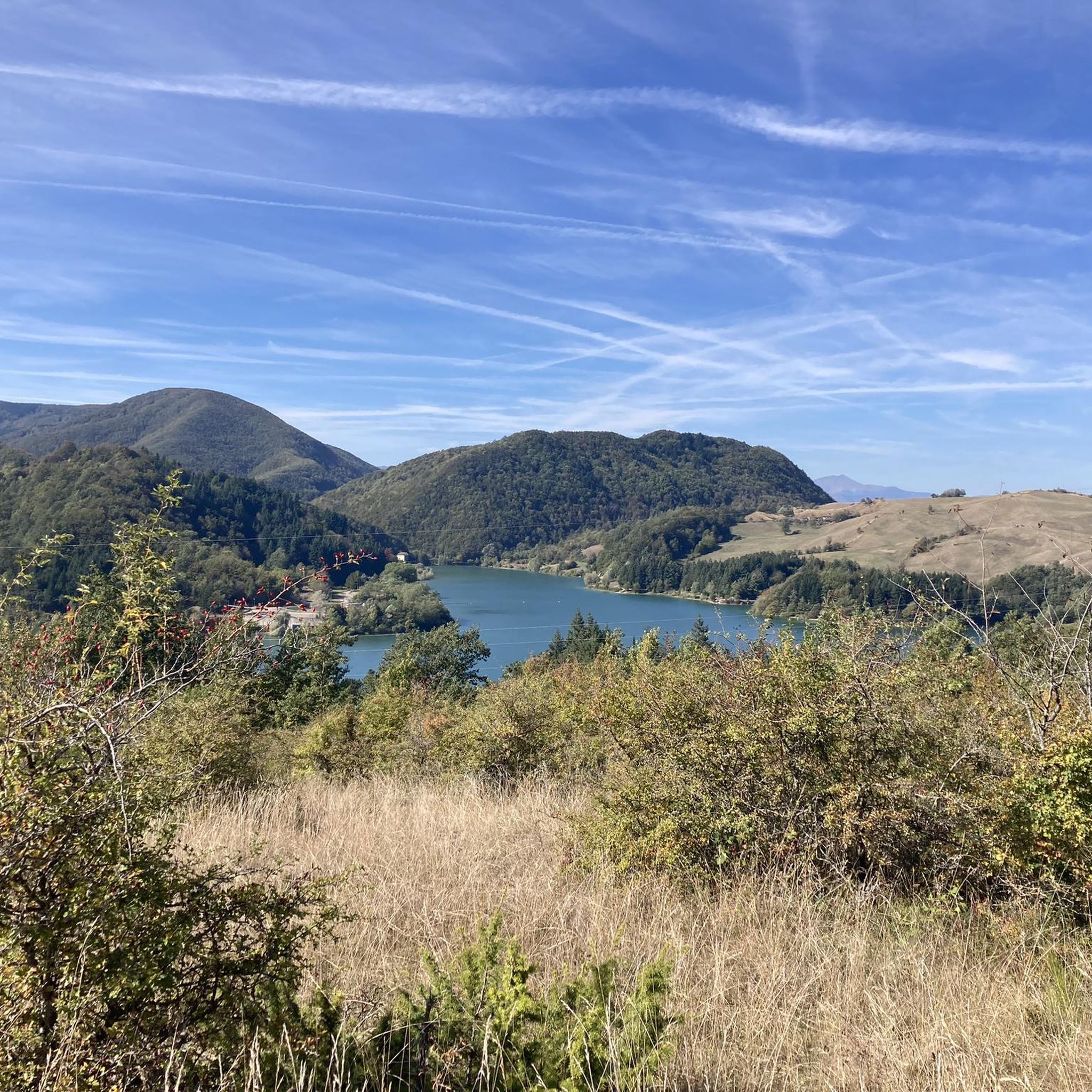
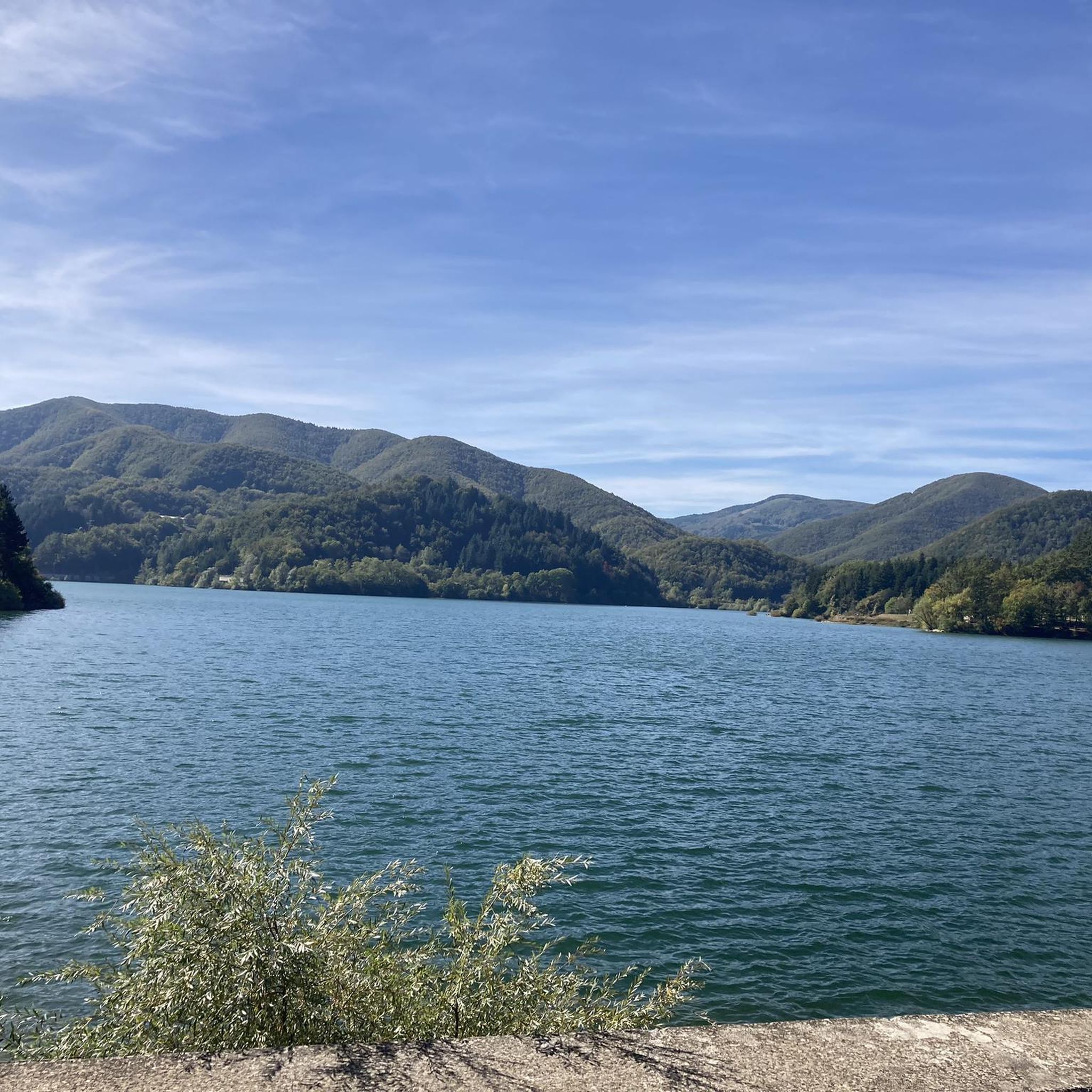
Lake Brasimone (also known as the Scalere basin and the Brasimone basin) is an artificial lake located in the Bolognese Apennines along the Brasimone stream, in the municipality of Camugnano and is part of the Suviana and Brasimone lakes regional park.
0
0

Built by Count Cesare Mattei, it consists of countless rooms connected by various staircases, a kind of labyrinth with several towers. Worth a visit.
0
0

It's worth a stop
0
0


Tiny elevators, so you might need to carry your bike or try to hold it vertically in the elevators.
0
0


Frequently Asked Questions
How many road cycling routes are available around Gaggio Montano?
There are over 140 road cycling routes around Gaggio Montano, offering a wide range of options for different skill levels. The komoot community has explored more than 3800 of these routes.
What kind of terrain can I expect when road cycling in Gaggio Montano?
Road cycling in Gaggio Montano is characterized by the mountainous topography of the Bolognese Apennines. You can expect exhilarating climbs and descents, with varied terrain that includes forested areas, deep valleys, and scenic roads. The region offers panoramic views of the Silla and Alto Reno Valleys.
Are there routes suitable for beginners or less experienced road cyclists?
Yes, Gaggio Montano offers some routes suitable for beginners. While many routes feature challenging climbs, there are 5 easy routes and 74 moderate routes available, allowing less experienced riders to enjoy the scenic landscape at a comfortable pace.
What are some challenging road cycling routes for experienced riders?
For experienced riders seeking a challenge, Gaggio Montano offers 69 difficult routes. A notable difficult route is the Gaggio Montano, Porretta Terme, and Granaglione Loop, which covers 34.4 miles (55.3 km) with significant elevation changes, connecting several local towns through varied terrain.
Can I find routes that offer panoramic views?
Absolutely. The mountainous topography ensures many routes provide rewarding panoramic views of the valleys, including the Silla and Alto Reno Valleys, Mount Cupolino, and Corno alle Scale. The 'Sasso di Rocca' fortress, with the only mountain lighthouse in Italy, offers exceptional vistas over the entire valley, providing picturesque backdrops for your rides.
Are there any historical or natural landmarks to see along the road cycling routes?
Yes, the region is rich in landmarks. You can explore charming ancient villages like Rocca Pitigliana and Pietracolora. Natural features include the Soprasasso Caves and Labante Caves. The Rocchetta Mattei castle is also a significant historical attraction you might encounter or pass near.
What is the best time of year for road cycling in Gaggio Montano?
The Bolognese Apennines offer pleasant conditions for road cycling from spring through autumn. Summer provides warm weather, while spring and autumn offer cooler temperatures and vibrant scenery. It's always advisable to check local weather forecasts before your ride, especially for mountain passes.
Are there loop routes available for road cyclists?
Yes, many road cycling routes around Gaggio Montano are designed as loops. For example, the Ring tour of the three lakes Pavana, Suviana and Brasimone from Riola is a popular 35.0-mile (56.3 km) loop offering views of multiple lakes and the surrounding Apennine landscape.
What do other cyclists say about road cycling in Gaggio Montano?
The road cycling routes in Gaggio Montano are highly rated by the komoot community, with an average score of 4.6 stars from over 130 reviews. Cyclists often praise the varied terrain, challenging climbs, and the breathtaking panoramic views of the Apennine landscape.
Are there any family-friendly road cycling options?
While many routes in Gaggio Montano feature significant elevation changes, there are 5 easy routes that could be more suitable for families or those looking for a less strenuous ride. These routes typically have gentler gradients and shorter distances, allowing for a more relaxed experience.
What natural features can I explore near the road cycling routes?
Beyond the scenic roads, the region offers diverse natural features. You can find significant cave systems like the Soprasasso Caves and Labante Caves. The Corno alle Scale Regional Park, located nearby, is home to the magnificent Dardagna Falls, which can be a rewarding destination after a ride.
Are there any routes that are part of larger cycling networks?
Yes, Gaggio Montano is strategically located along the Ciclovia Appenninica, Italy's longest cycle route. This connection provides access to an extensive network, allowing for longer tours and diverse cycling experiences through the Apennines.
Most popular routes around Gaggio Montano
Most popular attractions around Gaggio Montano

Get inspired with the komoot mobile app


Explore more
Browse the best Road cycling routes in other regions.
