The best walks and hikes around Calcinaia
4.5
(1794)
5,087
hikers
383
hikes
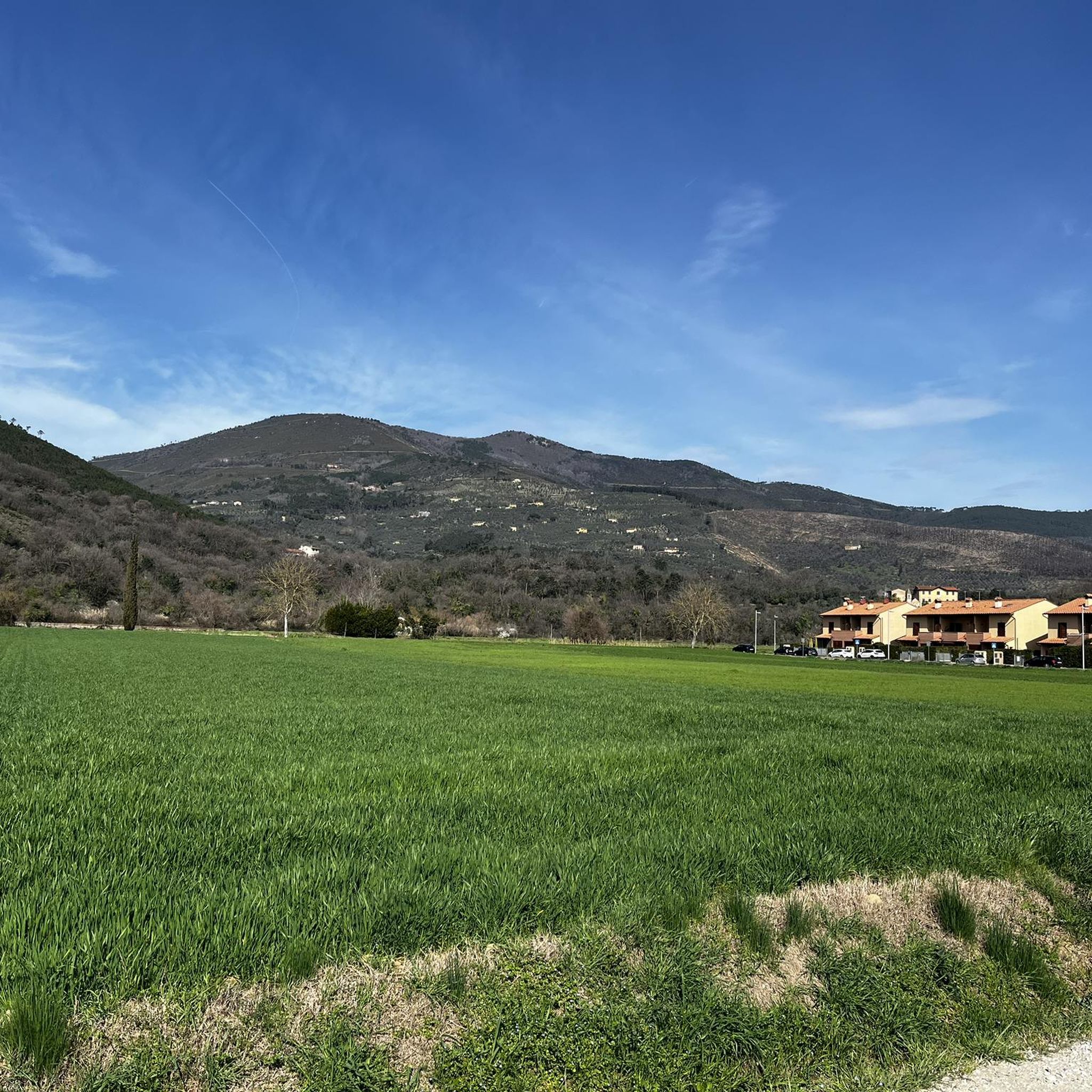
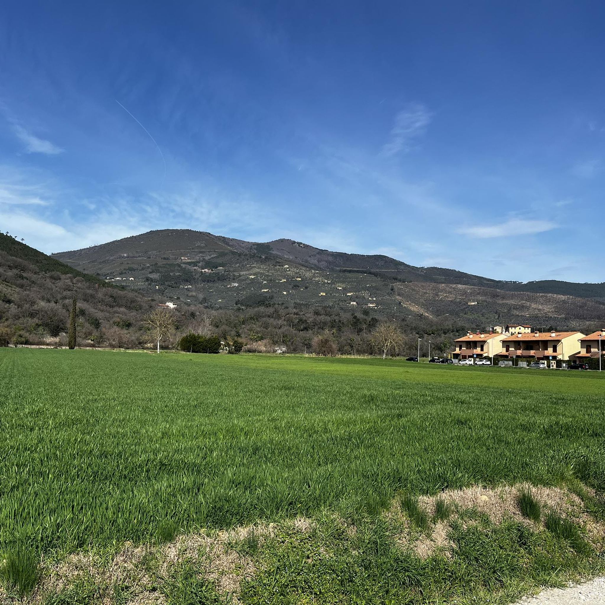
Hiking around Calcinaia offers diverse landscapes within the heart of Tuscany, characterized by rolling hills, expansive vineyards, and dense forests. The region is situated along the Arno River, providing flatter walks along its banks, contrasting with the undulating terrain further inland. Proximity to Monte Pisano offers routes with higher elevations and panoramic views. Valleys carved by smaller waterways further diversify the natural environment.
Best hiking trails around Calcinaia
- The most popular hiking route is Pisa Trail and Monte Perocchio Loop…
Last updated: October 30, 2026
4.0
(21)
48
hikers
6.17km
01:57
210m
210m
4.5
(51)
125
hikers
10.1km
02:58
290m
290m
Moderate hike. Good fitness required. Easily walkable paths.

4.5
(16)
29
hikers
19.2km
06:09
740m
740m
Hard hike. Very good fitness required. Mostly walkable paths. Sure-footedness required.
3.8
(6)
33
hikers
3.82km
01:08
120m
120m
Moderate hike. Mostly walkable paths. Sure-footedness required.
5.0
(8)
20
hikers
12.6km
04:06
500m
500m
Moderate hike. Good fitness required. Mostly walkable paths. Sure-footedness required.
Get access to more routes and recommendations from other explorers.
Already have an account?
Our route recommendations are based on thousands of hikes, rides, and runs completed by other people on komoot.
Start today with a free account
Your next adventure awaits.
Tips from the Community

The Rocca della Verruca is an ancient ruined fortification located on the summit of Monte Verruca (537 meters above sea level), on the border between the municipalities of Calci and Vicopisano, in the province of Pisa. Main information Location: Monti Pisani, it dominates the Pisan plain with a view stretching to the Tyrrhenian Sea. History: The first traces date back to 780 AD, but the current structure was built in the 13th century by the Republic of Pisa as a defensive outpost ("eye of the Pisans"). It was renovated in 1509 by Antonio da Sangallo and Luca del Caprina
0
0
La Rocca della Verruca is an ancient ruined fortification located on the summit of Monte Verruca (537 meters above sea level), on the border between the municipalities of Calci and Vicopisano, in the province of Pisa. Main information Position: Monti Pisani, it dominates the Pisan plain with views stretching to the Tyrrhenian Sea. History: The first traces date back to 780 AD, but the current structure was built in the 13th century by the Republic of Pisa as a defensive outpost ("eye of the Pisans"). It was renovated in 1509 by Antonio da Sangallo and Luca del Caprina
0
0

La Rocca della Verruca is an ancient ruined fortification located on the summit of Monte Verruca (537 meters above sea level) in the municipality of Calci, in the province of Pisa. It was the most important strategic observation point of the Republic of Pisa on the Monti Pisani. From up there, the Pisan plain and the Arno valley were controlled. In case of danger, the garrison would warn Pisa and the nearby castles with fires and flags. The first evidence dates back to the year 780, but the current fortress was built in the 13th century and was long contested with Florence before falling in the 16th century.
1
0
The Rocca della Verruca is an ancient ruined fortification located on the summit of Monte Verruca (537 meters above sea level) in the municipality of Calci, in the province of Pisa. It was the most important strategic observation point of the Republic of Pisa on the Monti Pisani. From up there, the Pisan plain and the Arno valley were controlled. In case of danger, the garrison would warn Pisa and the nearby castles with fires and flags. The first evidence dates back to the year 780, but the current fortress was built in the 13th century and was long contested with Florence before falling in the 16th century.
1
0

Passage for both a short loop from Panieretta with descent to Vicopisano via Piticchio down, https://gopro.com/v/d8f906a0-5b8a-490e-a4a1-94f9ad942f26 and to go directly up to Verruca passing by Cani
0
0


Frequently Asked Questions
How many hiking trails are available around Calcinaia?
There are over 340 hiking routes around Calcinaia, offering a wide range of experiences from easy strolls to more challenging trails. The komoot community has explored this varied terrain over 4,000 times.
What types of landscapes can I expect to see while hiking near Calcinaia?
Hiking around Calcinaia offers diverse Tuscan scenery, including picturesque rolling hills, expansive vineyards, and dense forests. You'll find flatter walks along the Arno River banks, contrasting with the undulating terrain and higher elevations of areas like Monte Pisano, which provide sweeping views of Vicopisano and the Arno plain. The area also features valleys carved by smaller waterways and woodlands with diverse tree species.
Are there any easy or family-friendly hiking options in Calcinaia?
Yes, Calcinaia offers a good selection of easier routes suitable for families or those looking for a relaxed walk. There are 83 easy trails available, many of which follow the flatter plains along the Arno River or wind through vineyards. These trails often have minimal elevation gain, providing a pleasant experience for all ages.
What are the typical trail lengths and durations for hikes around Calcinaia?
Trail lengths and durations vary significantly. For example, the Pisa Trail and Monte Perocchio Loop is about 6.2 km (3.8 miles) and takes nearly 2 hours. Longer routes like the Campo dei Lupi – Molino di Papo loop from Vicopisano stretch to 10.5 km (6.5 miles) and can take around 3 hours. There are 220 moderate trails and 41 difficult trails, so you can find a route to match your desired distance and time.
Are there any circular hiking routes available in Calcinaia?
Yes, many of the hiking routes around Calcinaia are circular, allowing you to start and end at the same point. A notable example is the Mount Perocchio – Mount Agreste loop from Vicopisano, which offers scenic views and a satisfying loop experience. The Calcinaia Ring, part of the Chianti Classico Hiking Network, is another well-known circular itinerary that immerses hikers in nature and local history.
What historical landmarks or attractions can I see along the hiking trails?
Many trails around Calcinaia are rich in history. The Calcinaia Ring, for instance, passes by the 13th-century church of San Lorenzo in Castelbonsi, the historic Mulino di Battaglio, and the Fonte dei Pollai. You can also explore various castles and medieval structures in the broader area. Consider visiting Brunelleschi’s Fortress of Vicopisano or the Medieval Towers of Vicopisano, which are often accessible from nearby hiking paths.
What do other hikers enjoy most about hiking in Calcinaia?
The hiking trails around Calcinaia are highly rated by the komoot community, with an average score of 4.5 stars from over 1,500 reviews. Hikers often praise the diverse Tuscan landscapes, the blend of natural beauty with historical sites, and the variety of routes suitable for different fitness levels. The panoramic views from higher elevations, such as those near Monte Pisano, are also frequently highlighted.
Are there any viewpoints or scenic spots on the trails?
Absolutely. The region's undulating terrain, especially around Monte Pisano, offers numerous viewpoints. Routes like the Pisa Trail and Monte Perocchio Loop provide sweeping views of the surrounding Tuscan landscape, including Vicopisano and the Arno plain. Many trails winding through rolling hills and vineyards also offer picturesque vistas.
Is public transport available to reach hiking trailheads in Calcinaia?
Calcinaia is a well-connected town in Tuscany. While specific public transport links directly to every trailhead might vary, the town itself is accessible. For detailed information on bus or train services to Calcinaia and surrounding villages that serve as starting points for hikes, it's best to consult local transport schedules or visit the official Visit Tuscany website for Calcinaia.
Are there places to eat or find amenities near the hiking trails?
Calcinaia and its surrounding villages offer various amenities, including cafes, restaurants, and shops where you can refuel before or after your hike. Many trails pass through or near these charming Tuscan towns, providing opportunities to experience local cuisine and hospitality. It's advisable to check the specific route you plan to take for nearby facilities.
What is the best time of year to go hiking in Calcinaia?
The best time to hike in Calcinaia is typically during the spring (April to June) and autumn (September to October) months. During these periods, the weather is generally mild and pleasant, and the Tuscan landscape is particularly beautiful, with blooming wildflowers in spring and vibrant colors in autumn. Summers can be hot, making early morning or late afternoon hikes more comfortable.
Most popular routes around Calcinaia
Most popular attractions around Calcinaia

Get inspired with the komoot mobile app


Explore more
Browse the best Hikes in other regions.
