The best road cycling routes around Trappstadt
4.6
(120)
1,330
riders
48
rides
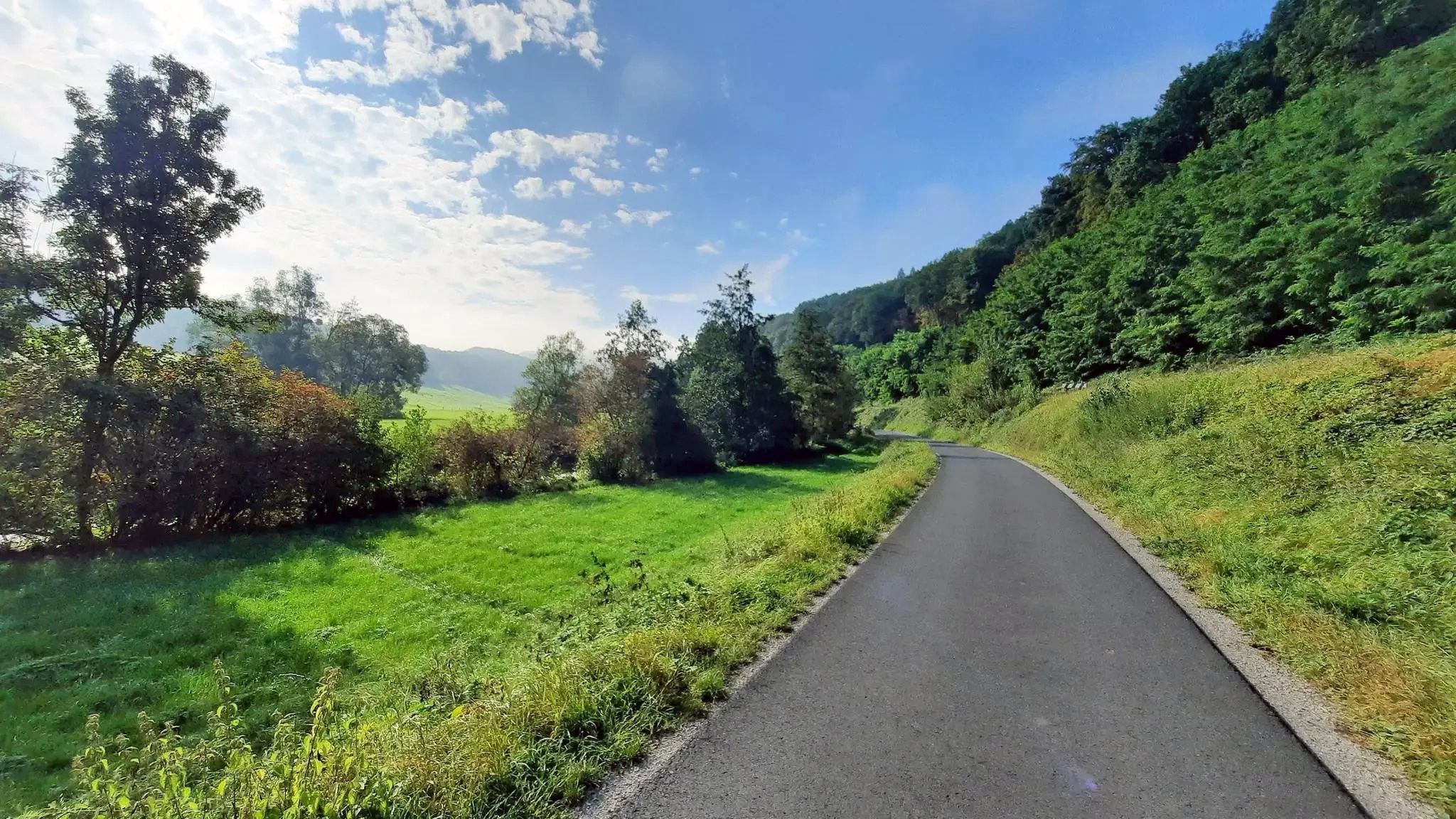
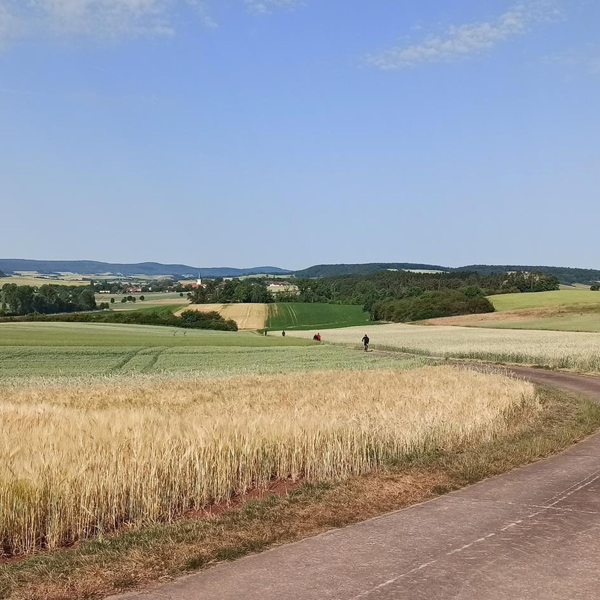
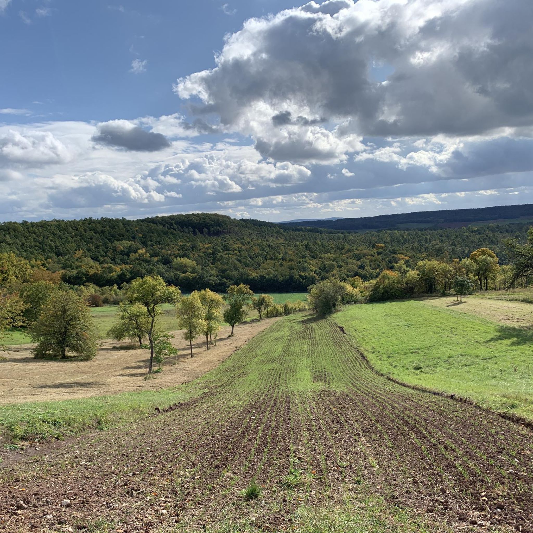
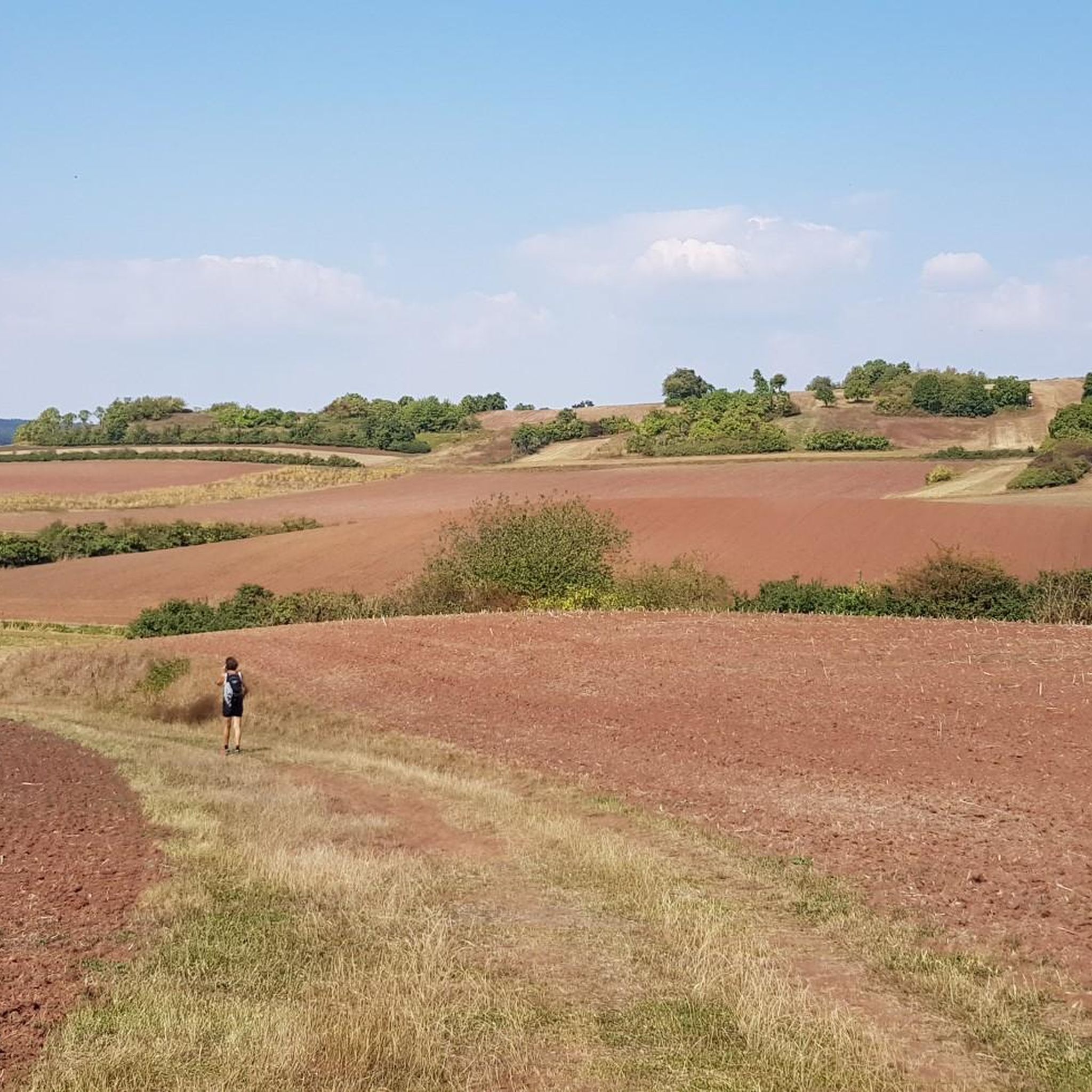
Road cycling routes around Trappstadt traverse the picturesque landscapes of the Rhön-Grabfeld district in Germany. The region is characterized by rolling hills, diverse natural features, and its location on the edge of the Rhön Mountains and within the Haßberge Nature Park. Cyclists can expect varied terrain, including segments of long-distance routes and paths winding through forests and historical villages.
Best road cycling routes around Trappstadt
- The most popular road cycling route is Römhild Market Square – Mittelstreu–Unsleben cycle path loop…
Last updated: October 2, 2026
4.8
(4)
45
riders
Moderate road ride. Good fitness required. Mostly well-paved surfaces and easy to ride.
26
riders
72.7km
03:07
540m
540m
Moderate road ride. Good fitness required. Mostly well-paved surfaces and easy to ride.

9
riders
60.6km
02:40
490m
490m
Moderate road ride. Good fitness required. Some segments of this route may be unpaved and difficult to ride.
10
riders
57.6km
02:24
340m
340m
Moderate road ride. Good fitness required. Mostly well-paved surfaces and easy to ride.
10
riders
Moderate road ride. Good fitness required. Mostly well-paved surfaces and easy to ride.
Get access to more routes and recommendations from other explorers.
Already have an account?
Our route recommendations are based on thousands of hikes, rides, and runs completed by other people on komoot.
Start today with a free account
Your next adventure awaits.



Tips from the Community

The town hall is currently being renovated (08/2026) and is unfortunately completely covered.
0
0

Historic stone arch bridge over the Saale.
4
0

Saint Cyriacus, to whom this church in Gellershausen is dedicated, was a deacon and martyr from the time of early Christianity. According to Catholic tradition, he is one of the Fourteen Holy Helpers. Saint Cyriacus's feast day in the liturgical calendar is August 8th. On a prayer card—originally from another church dedicated to him—the following intercession to the saint is inscribed: “Saint Cyriacus, open our eyes to the physical and spiritual needs of our fellow human beings. Grant us the willingness to listen to even the humblest among us with their great worries and to stand by them in their distress. Help us so that our hearts do not become hardened by selfishness and hopelessness.”
1
0

A very beautiful half-timbered house
1
0

I hope we don't build such borders again.
0
0

The Evangelical Lutheran Church of St. Mary Margaret is located in the Rentwertshausen district of the Grabfeld municipality in the Schmalkalden-Meiningen district of Thuringia. It belongs to the Bibra parish in the Meiningen church district of the Evangelical Church in Central Germany. There is no date of construction for this strikingly small village church, with its half-timbered upper story in the church tower. Nothing is known about a previous building. However, the year 1604 in the pulpit inscription is linked to the construction period. The organ was purchased around 1800, and the baptismal font, dating from 1844, is neo-Gothic. In 1983, the church received modern wooden decorations, including an altar cross, antependium, ambo, and pulpit, by the Greiz artist Elly-Viola Nahmmacher. Source: https://de.m.wikipedia.org/wiki/St._Maria_Margaretha_(Rentwertshausen)
19
0

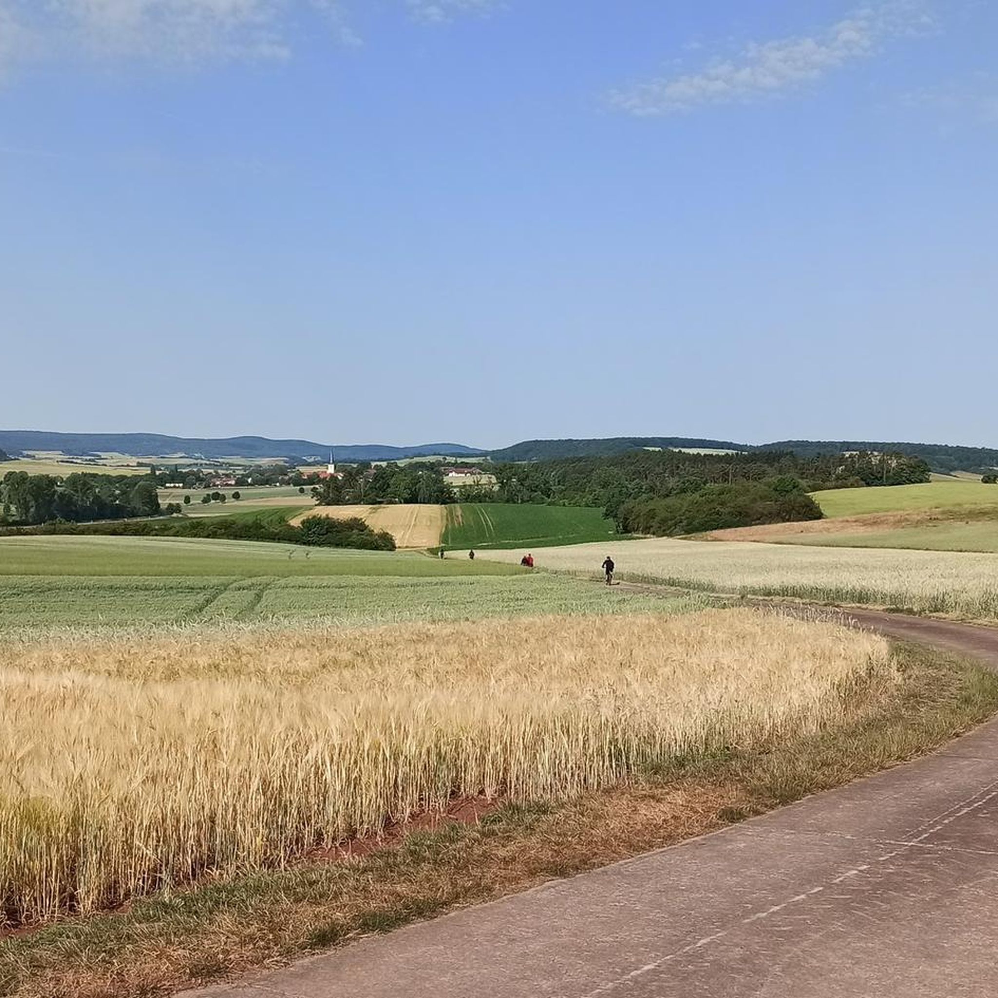
Super beautiful! Right through the fields and to the right and left, further and higher the forest
0
0

A beautiful historic market square, well-preserved and restored half-timbered houses, a few cafes and ice cream parlors invite you to sit outside in the summer.
2
0
Frequently Asked Questions
How many road cycling routes are available around Trappstadt?
There are over 50 road cycling routes around Trappstadt, offering a wide range of options for different skill levels and preferences. You can find routes varying from easy to challenging, with most being of moderate difficulty.
What is the best time of year for road cycling in Trappstadt?
Spring and summer are generally the best times to visit Trappstadt for road cycling. The weather is typically pleasant, allowing you to fully enjoy the picturesque landscapes of the Rhön-Grabfeld district and the Haßberge Nature Park.
Are there road cycling routes suitable for beginners or families in Trappstadt?
Yes, Trappstadt offers several easy road cycling routes that are suitable for beginners or families. These routes typically feature gentler terrain, allowing for a relaxed ride through the scenic surroundings. While specific family-friendly routes are not explicitly listed, the overall network includes options with less elevation gain.
What kind of terrain can I expect on road cycling routes around Trappstadt?
Road cycling around Trappstadt is characterized by rolling hills and varied terrain. You'll encounter segments of long-distance routes, paths winding through forests, and historical villages with half-timbered buildings. The region is situated on the edge of the Rhön Mountains and within the Haßberge Nature Park, ensuring diverse and engaging landscapes.
Are there any circular road cycling routes in Trappstadt?
Many of the road cycling routes around Trappstadt are designed as loops, allowing you to start and end your ride in the same location. For example, the Römhild Market Square – Mittelstreu–Unsleben cycle path loop from Trappstadt is a popular circular option.
What are some scenic highlights or viewpoints along the road cycling routes?
The routes often lead through the scenic Haßberge Nature Park, offering beautiful views. You can also expect to see historical half-timbered buildings, especially along the 'Straße der Fachwerkromantik' which passes through Trappstadt. The region's proximity to the Rhön Mountains also provides picturesque backdrops.
What historical landmarks or attractions can I see while road cycling near Trappstadt?
You can explore several historical landmarks. The Heldburg Fortress and Straufhain Castle Ruins are notable castles in the vicinity. The Wasserschloss Trappstadt (New Castle) and the Pfarrkirche St. Burkard with its bust from Tilman Riemenschneider are also significant historical sites within the town itself. The Market Square, Bad Königshofen – Gatehouse Trappstadt loop from Trappstadt passes by the historic Gatehouse from 1718.
Where can I find parking for road cycling routes in Trappstadt?
While specific parking locations for each trailhead are not detailed, Trappstadt, as a small town, generally offers public parking options. Many routes, being loops, allow you to park in a central location within Trappstadt or a nearby village and start your ride from there.
Are there challenging road cycling routes for advanced cyclists?
Yes, Trappstadt offers challenging road cycling routes for advanced cyclists. While most routes are moderate, there are 7 routes classified as difficult, featuring significant elevation gains and more demanding terrain. An example of a moderate route with over 1,600 feet (510 meters) of elevation gain is the Mittelstreu–Unsleben cycle path – Market Square, Bad Königshofen loop from Trappstadt.
What do other road cyclists enjoy most about road cycling in Trappstadt?
The area is highly rated by the komoot community, with an average score of 4.9 stars from more than 7 reviews. Reviewers often praise the varied terrain, the picturesque landscapes of the Haßberge Nature Park, and the charm of the historical villages encountered along the routes.
Can I find cafes or accommodation along the road cycling routes in Trappstadt?
Trappstadt and the surrounding villages offer various options for cafes and accommodation. While specific establishments are not listed, you can typically find places to rest and refuel in the market squares or town centers of the communities you pass through, such as Bad Königshofen.
Are there any long-distance cycle paths accessible from Trappstadt?
Yes, Trappstadt is connected to segments of long-distance routes, such as the 'Erfurt - Schweinfurt Schleifenroute Road Cycling Stage'. Additionally, the source of one of the two headstreams of the Fränkische Saale river is near Alsleben, a district of Trappstadt, making it a potential starting point for the Fränkische Saale Cycle Path.
What natural reserves can be explored near Trappstadt while cycling?
The region is rich in natural reserves. You can cycle near the 'Trappstadter Wald' Nature Reserve, known for its forests and rivers, or the 'Altenburg' Nature Reserve, which features three peaks and rare species. The 'Magerrasen am Kapellenberg' Nature Reserve near Alsleben is another significant natural area.
Most popular routes around Trappstadt
Most popular attractions around Trappstadt

Get inspired with the komoot mobile app


Explore more
Browse the best Road cycling routes in other regions.
