Easy hikes and walks around Trappstadt
4.6
(1866)
6,002
hikers
420
hikes
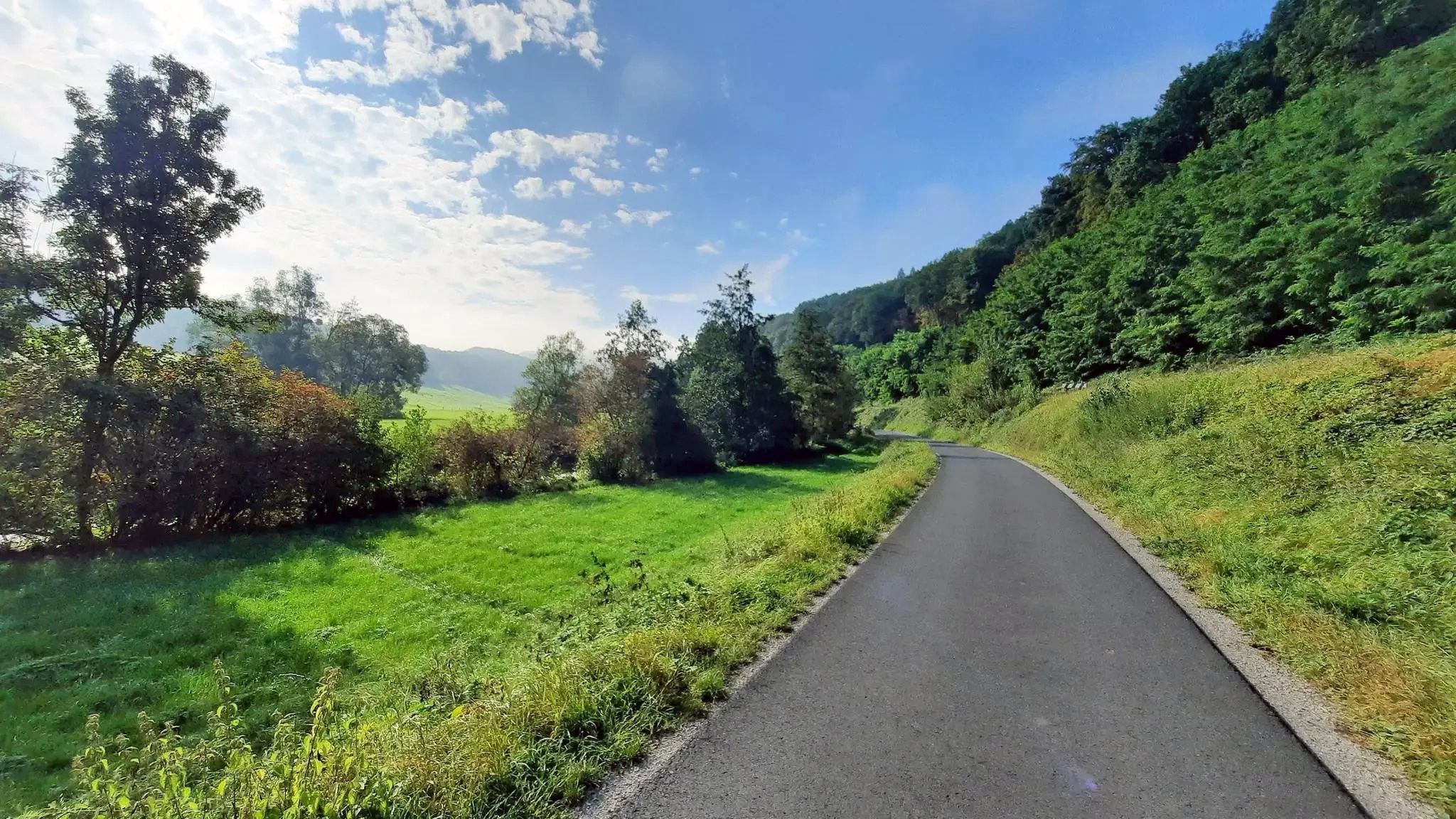
Easy hiking trails around Trappstadt traverse a diverse landscape characterized by gentle hills, expansive green meadows, and dense forests. This region, nestled in Rhön-Grabfeld, Germany, offers a tranquil natural environment for outdoor activities. The topography provides varied terrain suitable for easy walks, with elevations generally remaining modest.
Best easy hiking trails around Trappstadt
- The most popular easy hiking route is St. Ursula Chapel Alsleben – Bayernturm loop from Schloss Sternberg, a 3.4 miles (5.5 km) trail that takes 1…
Last updated: October 3, 2026
4.9
(14)
43
hikers
Easy hike. Great for any fitness level. Easily-accessible paths. Suitable for all skill levels.
5.0
(2)
8
hikers
6.56km
01:52
150m
150m
Easy hike. Great for any fitness level. Easily-accessible paths. Suitable for all skill levels.

5.0
(1)
5
hikers
6.41km
01:39
30m
30m
Easy hike. Great for any fitness level. Easily-accessible paths. Suitable for all skill levels.
5.0
(1)
4
hikers
6.05km
01:38
80m
80m
Easy hike. Great for any fitness level. Easily-accessible paths. Suitable for all skill levels.
5.0
(3)
6
hikers
Easy hike. Great for any fitness level. Easily-accessible paths. Suitable for all skill levels.
Get access to more routes and recommendations from other explorers.
Already have an account?
Our route recommendations are based on thousands of hikes, rides, and runs completed by other people on komoot.
Start today with a free account
Your next adventure awaits.



Tips from the Community

The Bayernturm is the highlight of the area with a great view.
0
0
The Bayernturm tower, with its view, is an absolute highlight.
1
0
Historic paths with reminders of the division of Germany
0
0
There are beautiful hiking trails here that also commemorate the former border.
0
0
An interesting relic from bygone times
0
0

The first sandstone spring casing from the 1940s was redesigned in 1973 and acquired its current representative appearance in 1985. A bronze plaque by Erich Husemann from Trappstadt has commemorated the importance of the Franconian Saale since 1987. The spring stream flows southwest through Alsleben, where it joins the Fleusengraben, and joins the left source stream north of Bad Königshofen-Untereßfeld. Source: https://de.m.wikipedia.org/wiki/Fr%C3%A4nkische_Saale
14
1
The Franconian Saale originates in the Grabfeld near the Haßberge Mountains, east and southeast of Bad Königshofen, respectively, from two roughly equal, 3.9 km long source streams: Its right and northern source streams originate from the Saalbrunnen (not to be confused with the Saalbrunnen, also located in Franconia), approximately 1.7 kilometers east of Alsleben, a district of Trappstadt. The spring is located in an open field, less than 500 meters from the Thuringian border, just off the NES 45 district road, which leads to Gompertshausen. The young Franconian Saale rises there at 313 meters above sea level, below the Kapellenberg (390 meters above sea level). Source: https://de.m.wikipedia.org/wiki/Fr%C3%A4nkische_Saale
14
1
The St. Ursula Chapel is a pilgrimage church dedicated to Saint Ursula, dating back to the mid-18th century. It is located one and a half kilometers southeast of Alsleben near Bad Königshofen in Lower Franconia, in a wooded area close to the Bavarian-Thuringian border. As early as the 15th century, a church dedicated to Saint Ursula stood on the mountain. This was destroyed during the Peasants' War in 1525, but was soon replaced by a small new chapel. In 1704, the widow of the Sternberg castle builder Wolff Dietrich Truchseß von Wetzhausen (Baroness Eva Rosina) donated the relics. As a result, the chapel quickly became a popular pilgrimage destination, attracting up to 10,000 pilgrims annually. In 1750, construction began on a new, larger church, which was consecrated in 1754. In 1803, St. Ursula's was closed, but after protests, it reopened in 1811. Source: https://de.m.wikipedia.org/wiki/St._Ursula
14
0
Frequently Asked Questions
How many easy hiking trails are available around Trappstadt?
There are over 220 easy hiking trails around Trappstadt, offering a wide variety of options for leisurely walks through the region's gentle hills, green meadows, and dense forests.
What kind of terrain can I expect on easy hikes near Trappstadt?
The easy hiking trails around Trappstadt feature diverse topography with gentle hills, expansive green meadows, and dense forests. Elevations generally remain modest, making them suitable for relaxed walks.
Are there any circular routes for easy hiking in Trappstadt?
Yes, many easy trails around Trappstadt are circular. For example, the St. Ursula Chapel Alsleben – Bayernturm loop from Schloss Sternberg is a popular 3.4-mile (5.5 km) option, and the Hiking loop from Alsleben covers 4.0 miles (6.4 km) through varied rural landscapes.
What natural features can I see on easy hikes around Trappstadt?
You can explore diverse natural features such as the source of the Franconian Saale, which is part of the Source of the Franconian Saale (Alsleben) with rest area and information board. The region also boasts tranquil forests, lush meadows, and the characteristic dry grasslands of the Altenburg nature reserve.
Are there any viewpoints on the easy hiking trails?
Absolutely. Many easy trails offer scenic views. The Leitenhausen Memorial Site – View from Spanshügel loop from Schlechtsart provides views from Spanshügel. Additionally, the Bayernturm Viewing Tower – Bayernturm loop from Schloss Sternberg leads to the Bayernturm, an over 30-meter-high tower offering extensive panoramic views of the surrounding landscape.
What historical landmarks or attractions can I find along easy hikes?
Easy hikes often lead past significant local attractions. You can visit the Heldburg Fortress or the impressive Trappstadt Castle, an 18th-century building with panoramic views. The St. Ursula Chapel Alsleben – Bayernturm loop from Schloss Sternberg passes by the historic St. Ursula Chapel.
Are there family-friendly hiking options in Trappstadt?
Yes, Trappstadt is ideal for family outings. The region's gentle terrain and well-marked trails, such as those in the Trappstadt Forest Park, are perfect for all ages. The easy routes are generally accessible and suitable for families.
What do other hikers say about the trails in Trappstadt?
The trails in Trappstadt are highly rated by the komoot community, with an average score of 4.6 stars from over 680 reviews. Hikers often praise the tranquil natural environment, the diverse landscapes of gentle hills and forests, and the well-maintained paths.
Can I access hiking trails in Trappstadt using public transport?
While specific public transport connections to every trailhead can vary, Trappstadt's central location in Rhön-Grabfeld makes it a good starting point. It's advisable to check local bus schedules for routes connecting to villages near trailheads.
Are there any lakes or water features to see on easy hikes?
Yes, you can encounter water features such as the Kuhsee Poppenhausen and the Sulzfelder Lake. The Source of the Franconian Saale (Alsleben) with rest area and information board is also a notable natural monument along some routes.
What is the best time of year for easy hiking in Trappstadt?
The region around Trappstadt is particularly vibrant during spring and summer when the fields flourish with lush greenery, creating a breathtaking backdrop for hiking adventures. The tranquil natural environment is appealing throughout the warmer months.
Are there any huts or shelters along the easy hiking routes?
Yes, you might find huts and shelters along some routes. Notable examples include the Liegleberg Shelter and Bergsturm Glückle, the Seeberhütte, and the Steinbauer Seebers Hut, which can offer a place to rest.
Most popular routes around Trappstadt
Most popular attractions around Trappstadt

Get inspired with the komoot mobile app


Explore more
Browse the best Hikes in other regions.
