The best walks and hikes around Valtorta
4.4
(702)
4,813
hikers
35
hikes
Hiking around Valtorta offers access to the diverse landscapes of the Orobie Alps in Italy. The region is characterized by varied terrain, including forest paths that lead to elevated refuges and panoramic mountain views. Hikers can explore traditional villages and historical routes throughout the mountains of Alta Val Brembana. This alpine environment provides numerous opportunities for outdoor exploration.
Best hiking trails around Valtorta
- The most popular hiking route is Rifugio Buzzoni – loop from Rifugio Trifoglio, a 4.8 miles…
Last updated: September 28, 2026
4.3
(14)
88
hikers
7.79km
02:57
420m
420m
Moderate hike. Good fitness required. Mostly accessible paths. Sure-footedness required.
4.0
(7)
45
hikers
10.6km
05:26
800m
800m
Pastoral climb through alpine meadows and historic dairy farms to a mountain refuge overlooking Val Brembana.

4.0
(5)
22
hikers
12.5km
06:13
1,120m
1,120m
Hard hike. Very good fitness required. Sure-footedness, sturdy shoes and alpine experience required.
5.0
(1)
2
hikers
9.00km
04:58
960m
960m
Forest paths lead to an octagonal refuge with 360-degree views spanning the Orobie Alps to Apennines.
4.6
(29)
232
hikers
8.52km
02:40
340m
340m
Moderate hike. Good fitness required. Easily-accessible paths. Suitable for all skill levels.
Get access to more routes and recommendations from other explorers.
Already have an account?
Our route recommendations are based on thousands of hikes, rides, and runs completed by other people on komoot.
Start today with a free account
Your next adventure awaits.
Popular around Valtorta
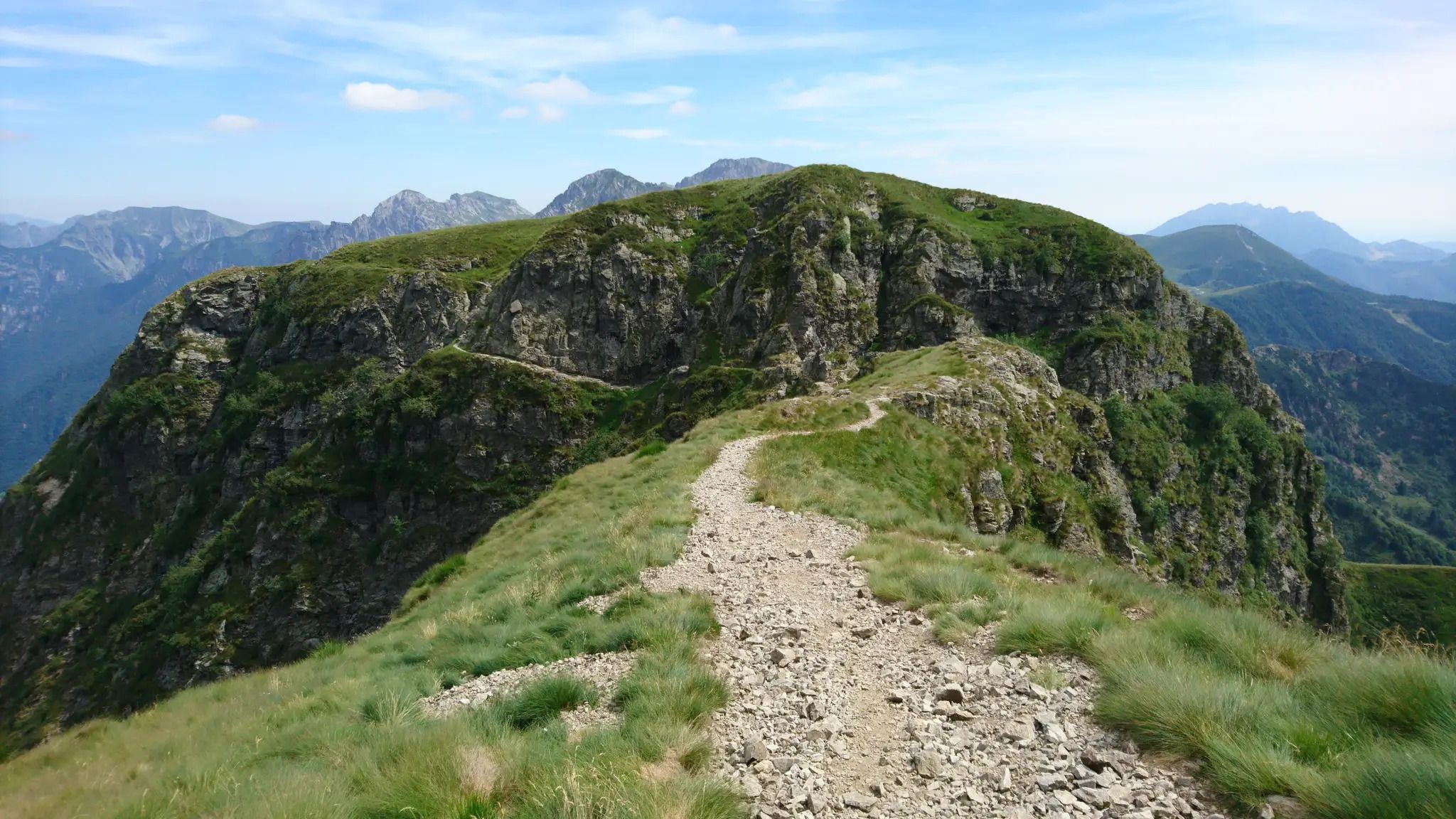
Western Orobie Path – cross the upper Brembana Valley in Italy
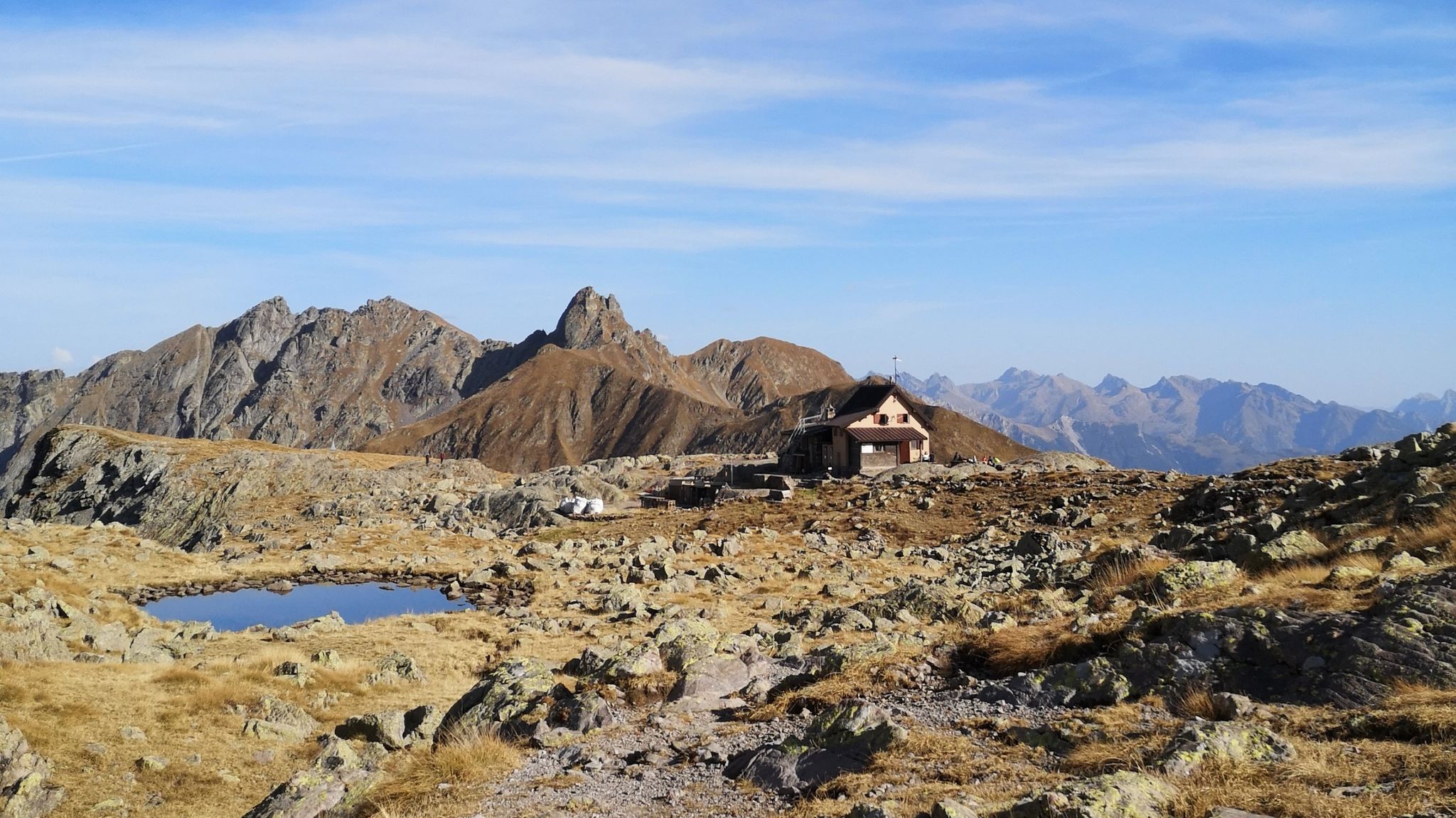
Hike between villages and historic routes – Alta Val Brembana’s mountains
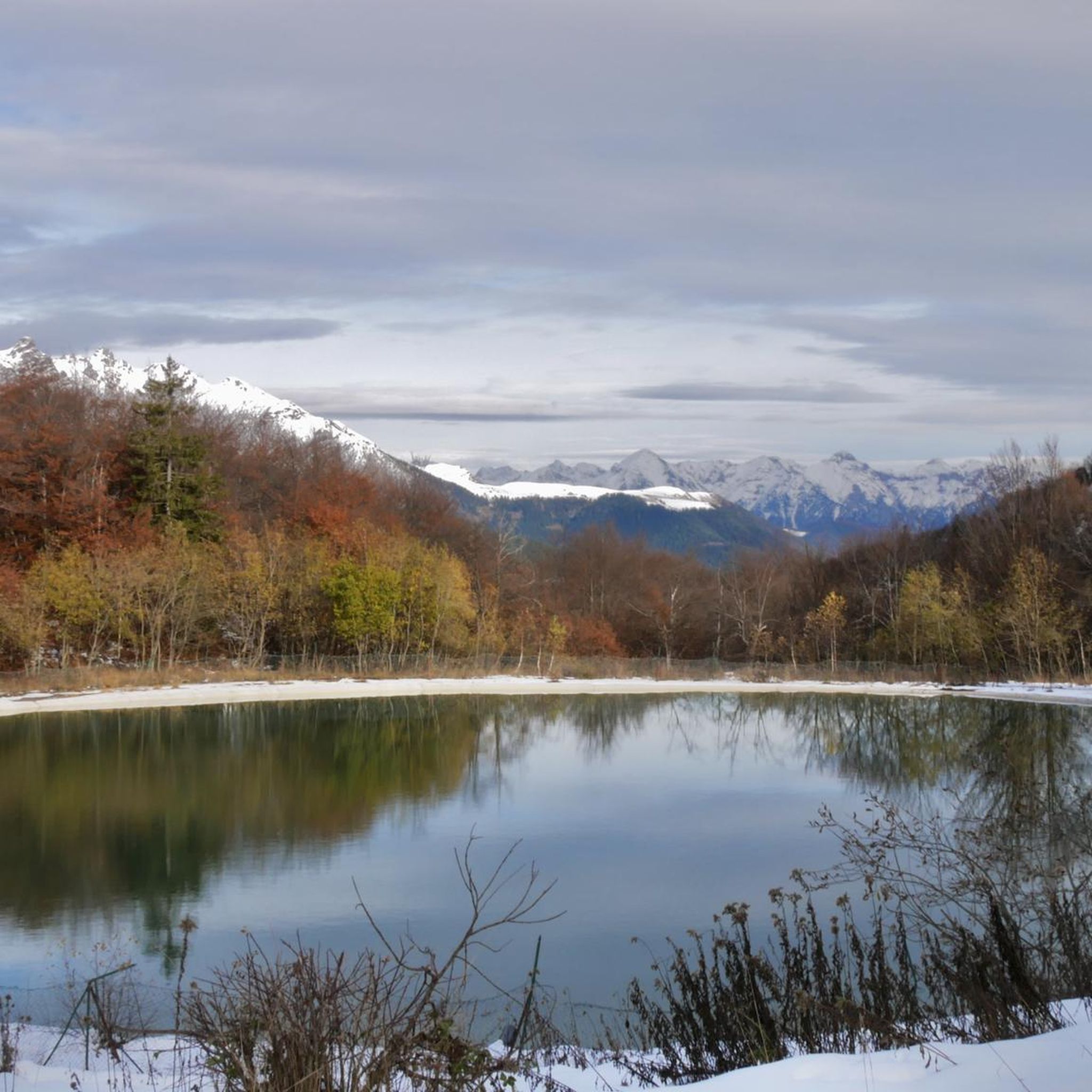
MTB Trails around Valtorta
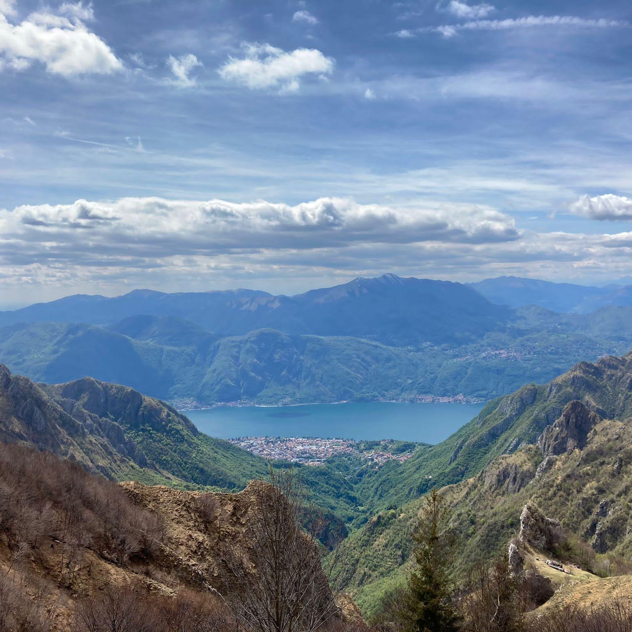
Cycling around Valtorta
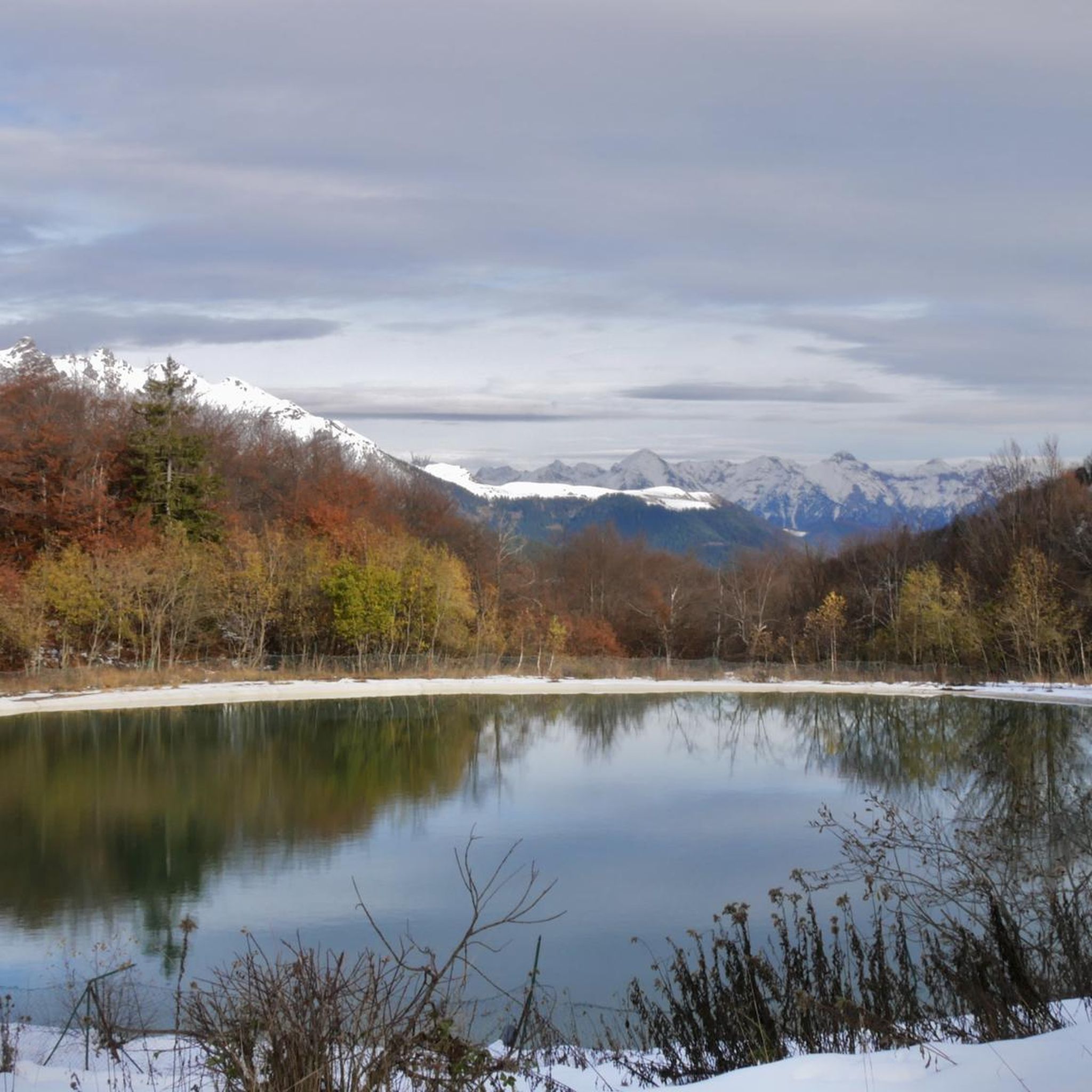
Road Cycling Routes around Valtorta
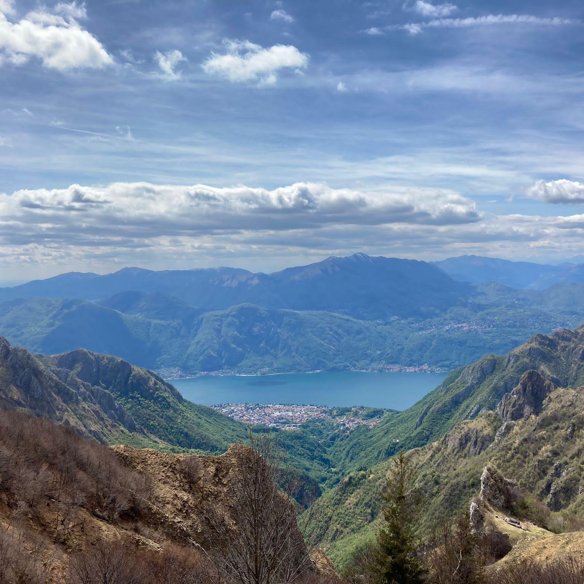
Running Trails around Valtorta

Gravel biking around Valtorta

Mountain Hikes around Valtorta

Tips from the Community


Huge free parking lot that serves both the Trifoglio hut customers and independent hikers. The parking lot, as well as the access road to reach it, are free (June 2026) Strategic point where you can leave your car and then choose from the many hiking options the area offers.
0
0
Beautiful refuge at the top of the Piani di Artavaggio
0
0
One of the beautiful peaks that can be reached from Piani di Artavaggio
0
0
We didn't go in because we were late but there were a lot of people
0
0
View of Pizzo Tre Signori from Piani di Bobbio
0
0
It is located in Piani di Bobbio
0
0

The interior is very beautiful!
0
0
Frequently Asked Questions
How many hiking trails are available in Valtorta?
Valtorta offers over 30 hiking trails, catering to various skill levels. These routes explore the diverse landscapes of the Orobie Alps, from forest paths to elevated refuges.
Are there any easy or family-friendly hiking options in Valtorta?
Yes, Valtorta has 3 easy hiking routes suitable for families. While specific stroller-friendly trails are limited due to the alpine terrain, many paths offer a gentle introduction to the region's natural beauty. These trails often feature forest paths and lead to scenic spots without significant elevation gain.
What kind of views can I expect on hikes around Valtorta?
Hikers in Valtorta can expect breathtaking panoramic mountain views, especially from elevated refuges and higher sections of the trails. The region is part of the stunning Orobie Alps, offering expansive vistas of unspoiled alpine landscapes and traditional villages nestled in the valleys.
Are there any circular hiking routes in Valtorta?
Yes, Valtorta features several circular hiking routes. An example is the Rifugio Buzzoni – loop from Rifugio Trifoglio, a moderate 7.8 km trail that offers a complete experience of the alpine surroundings.
Can I bring my dog on the hiking trails in Valtorta?
Generally, dogs are welcome on hiking trails in Valtorta, provided they are kept under control, especially in areas with livestock or wildlife. It's always advisable to check local regulations for specific trails or protected areas. Remember to carry water for your dog and clean up after them.
What are some notable natural features or points of interest to look out for?
Beyond the stunning Orobie Alps, hikers can discover several natural features. You might encounter waterfalls like the Sprizzotolo Waterfall or the Waterfall at the Source of the Enna. The region also features traditional stone houses and the Valle dei Mulini, offering a glimpse into the area's natural and cultural heritage.
What is the best time of year to go hiking in Valtorta?
The best time for hiking in Valtorta is typically from late spring through early autumn (May to October), when the weather is mild, and trails are clear of snow. Summer offers lush greenery and comfortable temperatures, while autumn brings vibrant foliage. Winter hiking is possible, but some higher-altitude trails may require specialized equipment due to snow and ice.
Are there any challenging hikes for experienced trekkers?
Valtorta offers 19 difficult hiking routes for experienced trekkers. A challenging option is the Pastoral climb to Rifugio Grassi with Orobie Mountains view, a 10.6 km path featuring a significant climb and expansive views. Another demanding route is the Valtorta to the Cazzaniga Merlini Refugio, covering 12.5 km with substantial elevation gain.
What do other hikers enjoy most about hiking in Valtorta?
The hiking routes in Valtorta are highly rated by the komoot community, with an average score of 4.6 stars from over 500 reviews. Hikers frequently praise the diverse alpine landscapes, the well-maintained forest paths, and the rewarding views from the elevated refuges. The authentic experience of this 'hidden gem' in the Orobie Alps is also a common highlight.
Is there parking available near the trailheads in Valtorta?
Yes, parking is generally available in and around Valtorta village, as well as at common starting points for trails like Piani Bassi. Specific parking information for individual trailheads can often be found on local signage or detailed route descriptions.
How can I reach Valtorta and its hiking trails using public transport?
Public transport options to Valtorta are available, typically involving bus services from larger towns in the Val Brembana region, which connect to Bergamo. While direct access to all trailheads by public transport might be limited, the village itself serves as a good starting point for many routes. It's recommended to check local bus schedules in advance.
Are there any mountain huts or refuges along the trails?
Yes, the region is known for its elevated refuges, which serve as excellent destinations or rest stops. For example, the Cazzaniga Merlini Refugio and Rifugio Buzzoni are popular destinations, offering stunning views and often refreshments.
Most popular routes around Valtorta
Most popular attractions around Valtorta

Get inspired with the komoot mobile app


Explore more
Browse the best Hikes in other regions.
