The best running trails around Faedo Valtellino
4.3
(37)
5,922
runners
215
runs
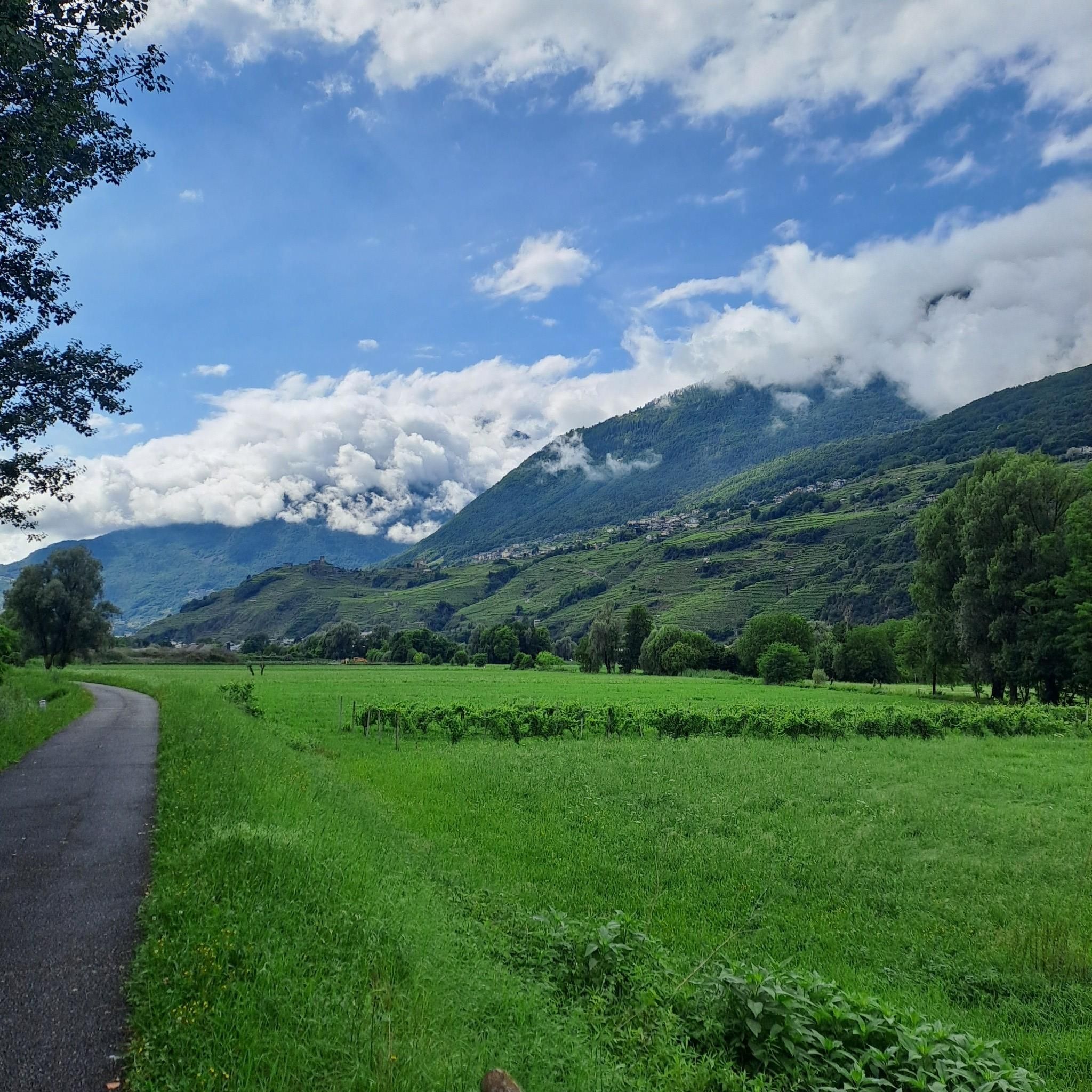
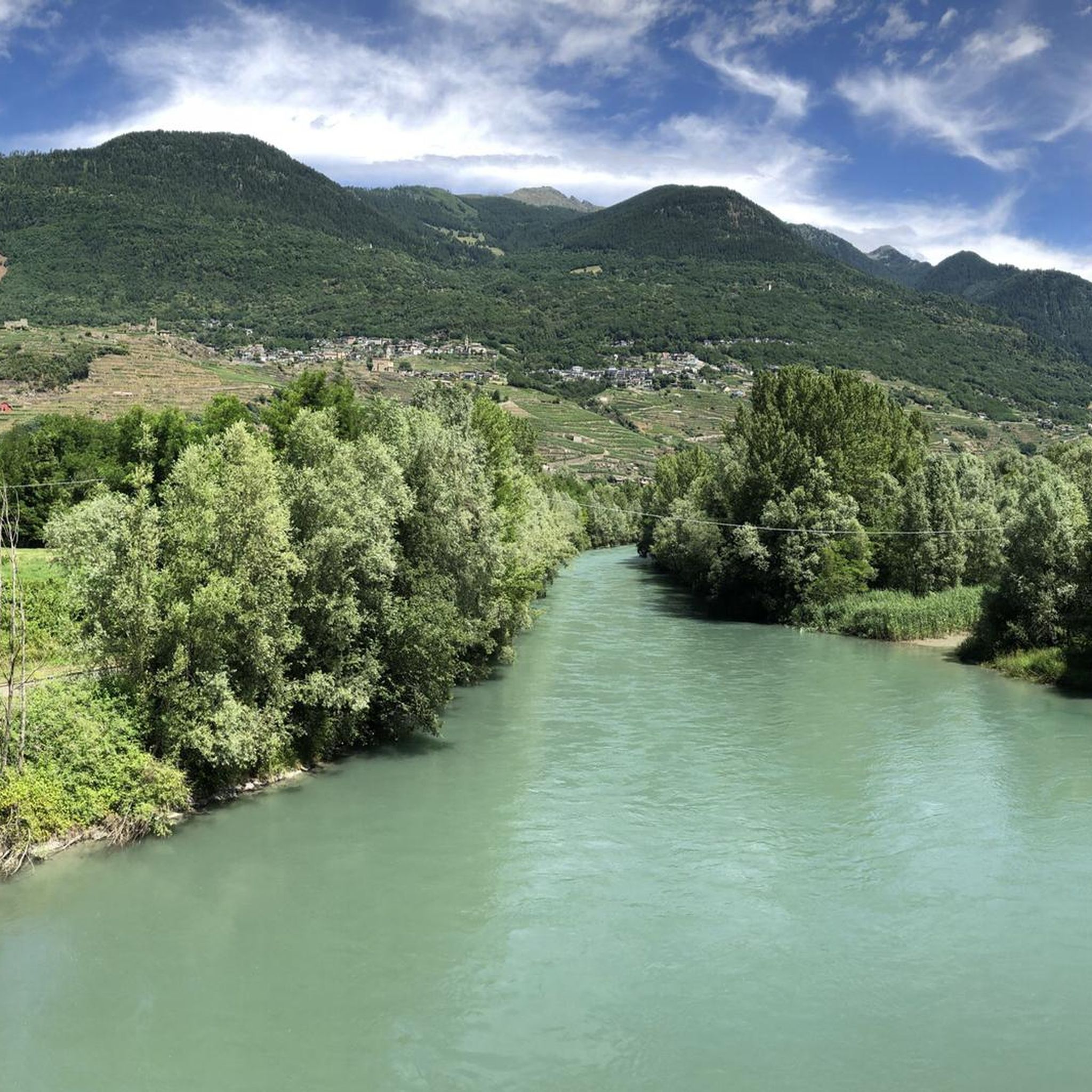
Jogging around Faedo Valtellino offers diverse terrain across the Middle Valtellina region, situated on the Orobic Alps' northern side. The landscape features significant elevation changes, extending from approximately 300 meters up to 1800 meters along the Venina valley. Runners can explore terraced vineyards, dense forests, and paths near the Adda River, providing varied environments for different running preferences. This area is characterized by its blend of natural reserves and historical rural settlements.
Best jogging routes around Faedo Valtellino
- The most…
Last updated: August 2, 2026
73
runners
8.82km
00:57
10m
10m
Moderate run. Good fitness required. Mostly paved surfaces. Suitable for all skill levels.
47
runners
5.57km
00:44
270m
270m
Moderate run. Good fitness required. Mostly paved surfaces. Suitable for all skill levels.

Sign up for free
36
runners
13.9km
01:37
400m
390m
Hard run. Very good fitness required. Mostly paved surfaces. Suitable for all skill levels.
51
runners
11.4km
01:11
90m
90m
Moderate run. Good fitness required. Mostly paved surfaces. Suitable for all skill levels.
28
runners
Hard run. Very good fitness required. Sure-footedness, sturdy shoes and alpine experience required.
Get access to more routes and recommendations from other explorers.
Sign up for free
Already have an account?
Our route recommendations are based on thousands of hikes, rides, and runs completed by other people on komoot.
Start today with a free account
Your next adventure awaits.
Login or Signup

Tips from the Community


Just above the center of the city of Sondrio, the district of Maioni is easily reachable on foot and characteristic. One way to reach it is the mule track that climbs in hairpin bends from Gombaro. From Maioni, you can take paths towards woods and splendid hills.
0
0

A beautiful square with a bell tower, there is a large Sondrio sign
0
0

Beautiful suspension bridge over the Mallero river, very high and panoramic both over Sondrio and the entrance to Val Malenco and its gorge carved out by the water. The passage is very wide and safe, and connects Ponchiera and Mossini without passing through Sondrio. It is worth stopping by if you are going towards Val Malenco or if you want to take a panoramic tour above Sondrio.
0
0

The main square of the city of Sondrio. Here it is the meeting point for many events and evenings
0
0
Bridge in the void with breathtaking views
0
0

Montagna in Valtellina is a small mid-coast village in Lombardy, where nature and culture blend. Among the vineyards that give life to fine wines, paths lead to breathtaking views. Don't miss the opportunity to savor the local gastronomic tradition, a true triumph of authentic flavours.
2
0
Frequently Asked Questions
How many running routes are available around Faedo Valtellino?
There are over 170 running routes around Faedo Valtellino, offering a wide range of options for all skill levels. You'll find everything from easy paths to challenging mountain runs.
What kind of terrain can I expect on the running trails in Faedo Valtellino?
The terrain around Faedo Valtellino is incredibly diverse. You can expect to run on paths through ancient terraced vineyards, dense forests, and along the Orobic Slopes. Some routes offer significant elevation changes, extending from around 300 meters up to 1800 meters along the Val Venina, while others provide flatter sections near the Adda River.
What do other runners say about the trails in Faedo Valtellino?
The running routes in Faedo Valtellino are highly rated by the komoot community, with an average score of 4.6 stars from over 30 reviews. More than 5000 runners have used komoot to explore the varied terrain, often praising the scenic beauty and diverse challenges.
Are there any easy running routes suitable for beginners in Faedo Valtellino?
Yes, Faedo Valtellino offers 7 easy running routes perfect for beginners or those looking for a more relaxed run. These routes typically feature less elevation gain and smoother paths, allowing you to enjoy the scenery without excessive challenge.
Can I find challenging long-distance running trails with significant elevation gain?
Absolutely. Faedo Valtellino is situated on the Orobic Slopes, providing numerous challenging routes. For instance, the Valtellina Orobie Trail – Parco delle Orobie Valtellinesi is a difficult 20.3 km trail with over 1195 meters of elevation gain, offering a robust workout within the regional park.
Are there any circular running routes in the area?
Yes, many routes in the region are designed as loops. A notable example is the Cima Meriggio – loop tour in the Parco delle Orobie Valtellinesi, a difficult 12.4 km path that provides stunning views of Cima Meriggio and the surrounding park landscape.
Are there running routes that pass through natural reserves or offer unique natural features?
Yes, the area is rich in natural beauty. The Bosco dei Bordighi Natural Reserve, located near Faedo Valtellino after crossing the Adda river, is known for its ancient and rare plant species and offers a serene setting for a run. The rugged Val Venina also provides a naturally rich environment for exploration.
What scenic viewpoints or landmarks can I discover while running near Faedo Valtellino?
You can enjoy extraordinary panoramic views over the valley from the ancient terraced vineyards. The area also features ancient rural settlements like San Bernardo (1052 m). For specific landmarks, consider routes that pass by the View of Valtellina from Triangia or the Suspension Bridge over the Cassandre.
What is the best time of year for running in Faedo Valtellino?
The diverse terrain of Faedo Valtellino means running is enjoyable across multiple seasons. Spring and autumn offer pleasant temperatures and vibrant scenery, ideal for exploring the vineyards and forests. Summer provides opportunities for higher altitude runs in the cooler mountain air, while winter can offer unique experiences on snow-covered trails, though some routes may require specific gear.
Are the running trails around Faedo Valtellino accessible by public transport?
While Faedo Valtellino is a smaller village, it is situated above Sondrio, which is a key transport hub in the Valtellina region. Many regional trails, such as sections of the Sentiero Valtellina, are accessible from towns along the valley floor which are served by public transport. For specific trailheads directly in Faedo, local bus services or a short drive from Sondrio would be necessary.
Is parking available near the running trailheads?
Yes, parking is generally available in and around Faedo Valtellino, particularly in the various inhabited nuclei that make up the village. For routes starting directly from Faedo, you'll typically find designated parking areas or roadside spots. For routes further afield, it's advisable to check specific route details on komoot for parking information.
Are there family-friendly running routes in Faedo Valtellino?
Yes, among the 7 easy routes available, you can find options suitable for families. These trails are generally shorter, have less elevation, and are on well-maintained paths, making them enjoyable for all ages. Look for routes with lower difficulty ratings for the best family experience.
Can I bring my dog on the running trails in Faedo Valtellino?
Many outdoor trails in the Valtellina region are dog-friendly, allowing you to enjoy a run with your canine companion. However, it's always recommended to keep your dog on a leash, especially in natural reserves like Bosco dei Bordighi, and to be mindful of local regulations and other trail users. Always carry water for your dog and clean up after them.
Most popular routes around Faedo Valtellino
Most popular attractions around Faedo Valtellino

Get inspired with the komoot mobile app


Explore more
Browse the best Running Trails & Routes in other regions.
