The best walks and hikes around Faedo Valtellino
4.4
(630)
5,085
hikers
414
hikes
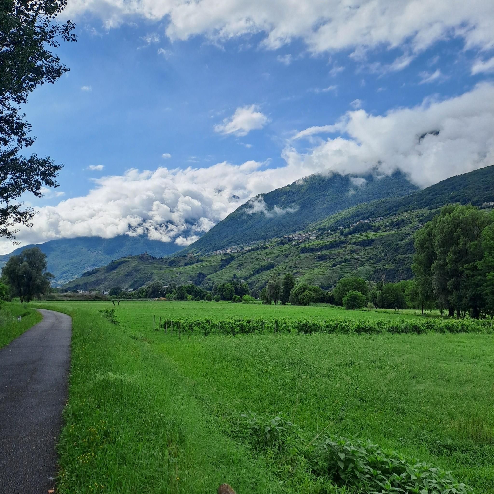
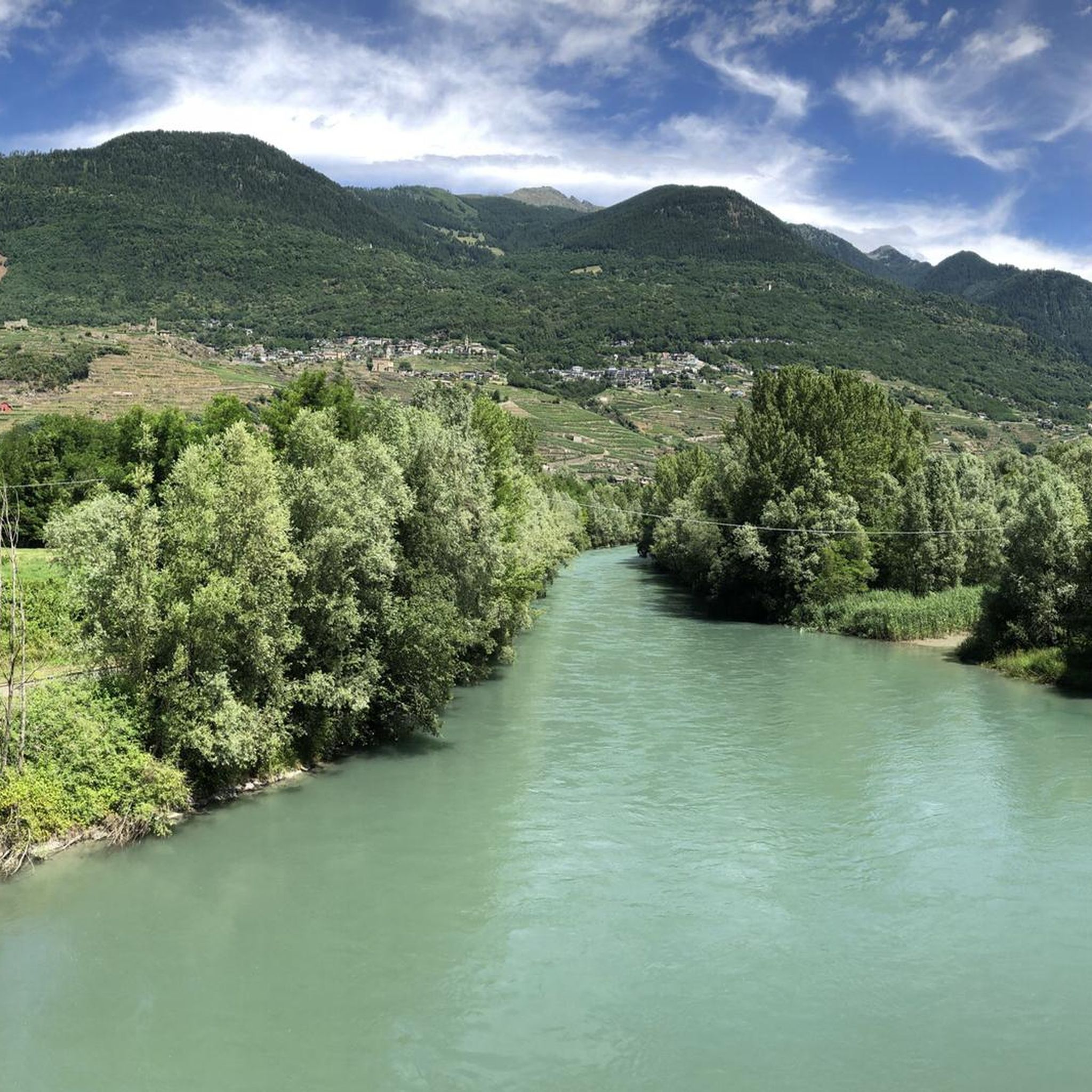
Hiking around Faedo Valtellino offers diverse terrain on the northern side of the Orobic Alps, with elevations ranging from approximately 300 to 1800 meters. The landscape features terraced vineyards, cultivated fields, meadows, and orchards, transitioning to more rugged alpine environments. A notable natural feature is the Bosco dei Bordighi Regional Natural Reserve, known for its ancient plant species near the Adda river. This region provides a variety of hiking trails suitable for different experience levels.
Best hiking trails around Faedo…
Last updated: August 3, 2026
4.5
(4)
4
hikers
5.66km
02:00
300m
300m
Hike the easy Decauville of the Orobic Alps Trail, a 3.5-mile route through cool woods and past the Marmitte dei Giganti in Parco delle Orob
3
hikers
4.09km
01:40
270m
280m
Moderate hike. Great for any fitness level. Mostly accessible paths. Sure-footedness required.

Sign up for free
1
hikers
11.3km
05:10
880m
870m
Hard hike. Very good fitness required. Sure-footedness, sturdy shoes and alpine experience required.
1
hikers
15.6km
04:12
200m
200m
Hike the Decauville of the Orobic Alps Trail, a moderate 9.7-mile route through cool woods and past Rhaetic Alps views.
1
hikers
7.43km
02:39
430m
420m
Hike the moderate 4.6-mile Trail 233 from Caprari House to Maisi Traditional Stone Houses, gaining 1396 feet in 2 hours and 38 minutes.
Get access to more routes and recommendations from other explorers.
Sign up for free
Already have an account?
Our route recommendations are based on thousands of hikes, rides, and runs completed by other people on komoot.
Start today with a free account
Your next adventure awaits.
Login or Signup

Tips from the Community

The three huts of Pessa, together with some ruins and a fountain are what you will find at the Alpe of the same name crossed by the (always namesake) stream.
1
0
The Sasso della Nona stands out from the dense forest and with its original shape seems to want to control the valley floor.
1
0
We proceed on a wide, flat dirt road surrounded by dense forest vegetation.
1
0
The town of Gaggio is located on the Valtellina side of the Orobie Park and offers a beautiful view of Sondrio.
1
1
The particular erosive phenomenon whereby the water, with its insistent eddies, has dug large circular cavities in the rock over the course of millennia is called "giants' potholes".
1
0

Frequently Asked Questions
What types of hiking trails can I find in Faedo Valtellino?
Faedo Valtellino offers a wide variety of hiking trails, ranging from easy strolls through terraced vineyards and cultivated fields to more challenging routes in rugged alpine environments. The region is situated on the northern side of the Orobic Alps, with elevations from approximately 300 to 1800 meters, providing diverse landscapes for all skill levels.
Are there any easy hikes suitable for beginners or families in Faedo Valtellino?
Yes, Faedo Valtellino has numerous easy trails perfect for beginners and families. For example, the Decauville of the Orobic Alps Trail is an easy 5.7 km route with gentle gradients, taking about 2 hours to complete. Overall, there are over 80 easy routes available in the area.
What natural features or landmarks can I expect to see while hiking?
Hikers can explore diverse natural features, including the unique Erosion Pyramids of Postalesio and the serene Devil's Lake. The region is also known for its terraced vineyards on the Rhaetian mountainside and the Via dei Terrazzamenti, showcasing traditional rural architecture and stunning views. You might also encounter various mountain passes like Valsecca Pass.
Are there any circular hiking routes in Faedo Valtellino?
Yes, circular routes are popular in Faedo Valtellino. A great option is the From Gaggio around the Sasso della Nona – loop tour, a moderate 4.1 km path offering varied scenery. For a longer challenge, consider the From Gaggio to Baite di Pessa – loop tour, which is 11.3 km and leads through alpine terrain.
What is the best time of year to go hiking in Faedo Valtellino?
The diverse elevation of Faedo Valtellino means hiking is enjoyable across multiple seasons. Spring and autumn offer pleasant temperatures for lower and mid-mountain trails, with vibrant foliage or blooming flowers. Summer is ideal for higher alpine routes, while some lower trails might be accessible for winter hiking, though conditions should always be checked.
Can I bring my dog on the hiking trails in Faedo Valtellino?
Many trails in Faedo Valtellino are dog-friendly, allowing you to enjoy the natural beauty with your canine companion. However, it's always recommended to check specific trail regulations and local signage, especially in protected areas or near livestock, and to keep your dog on a leash where required.
How many hiking routes are available in the Faedo Valtellino area?
There are over 370 hiking routes recorded in the Faedo Valtellino area on komoot, offering a vast selection for all preferences. This includes approximately 80 easy, 170 moderate, and over 110 difficult trails.
What do other hikers say about the trails in Faedo Valtellino?
The hiking trails in Faedo Valtellino are highly rated by the komoot community, with an average score of 4.4 stars from over 500 reviews. Hikers often praise the diverse landscapes, from terraced vineyards to rugged alpine settings, and the well-maintained paths that cater to various ability levels.
Are there any historical or cultural points of interest along the trails?
Yes, the region is rich in history and culture. You can explore vestiges of traditional rural architecture, such as those found in the ancient core of S. Bernardo at 1052 meters, or visit the Parish church dedicated to S. Carlo Borromeo, built in 1692. The terraced vineyards themselves are a testament to historical rural practices.
How can I access the hiking trails in Faedo Valtellino using public transport?
Faedo Valtellino is integrated within the broader Valtellina region, which has public transport options. While specific trailheads might require a short walk or local bus connection from main transport hubs, it's advisable to research local bus schedules to plan your access to the starting points of your chosen hikes.
Are there any less crowded hiking options for a more peaceful experience?
With over 370 routes, Faedo Valtellino offers many opportunities for peaceful hikes away from the busiest spots. Exploring some of the less-known moderate or difficult trails, or hiking during off-peak hours or seasons, can provide a more solitary experience amidst the stunning natural scenery.
What is the typical elevation gain on hikes in Faedo Valtellino?
The elevation gain varies significantly depending on the trail's difficulty and length. Easy routes like the Decauville of the Orobic Alps Trail have around 300 meters of ascent. More challenging trails, such as the From Gaggio to Baite di Pessa – loop tour, can involve over 800 meters of elevation gain, reaching higher alpine areas.
Most popular routes around Faedo Valtellino
Most popular attractions around Faedo Valtellino

Get inspired with the komoot mobile app


Explore more
Browse the best Hikes in other regions.
