The best walks and hikes around Orio Al Serio
4.3
(3520)
24,551
hikers
773
hikes
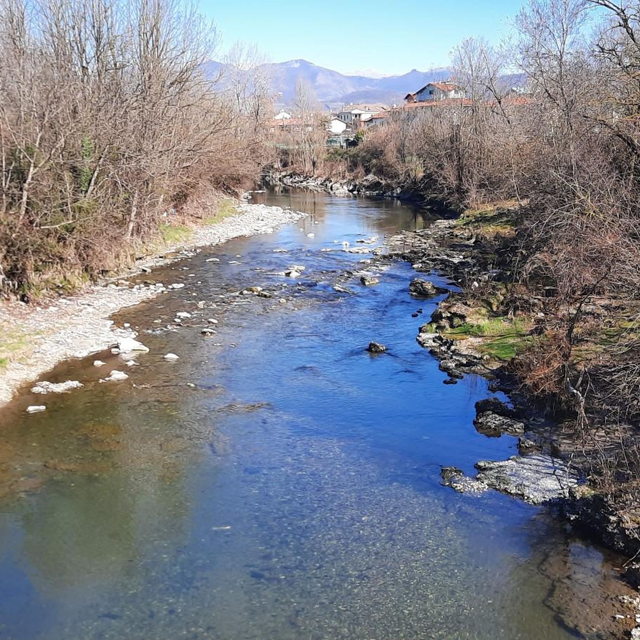
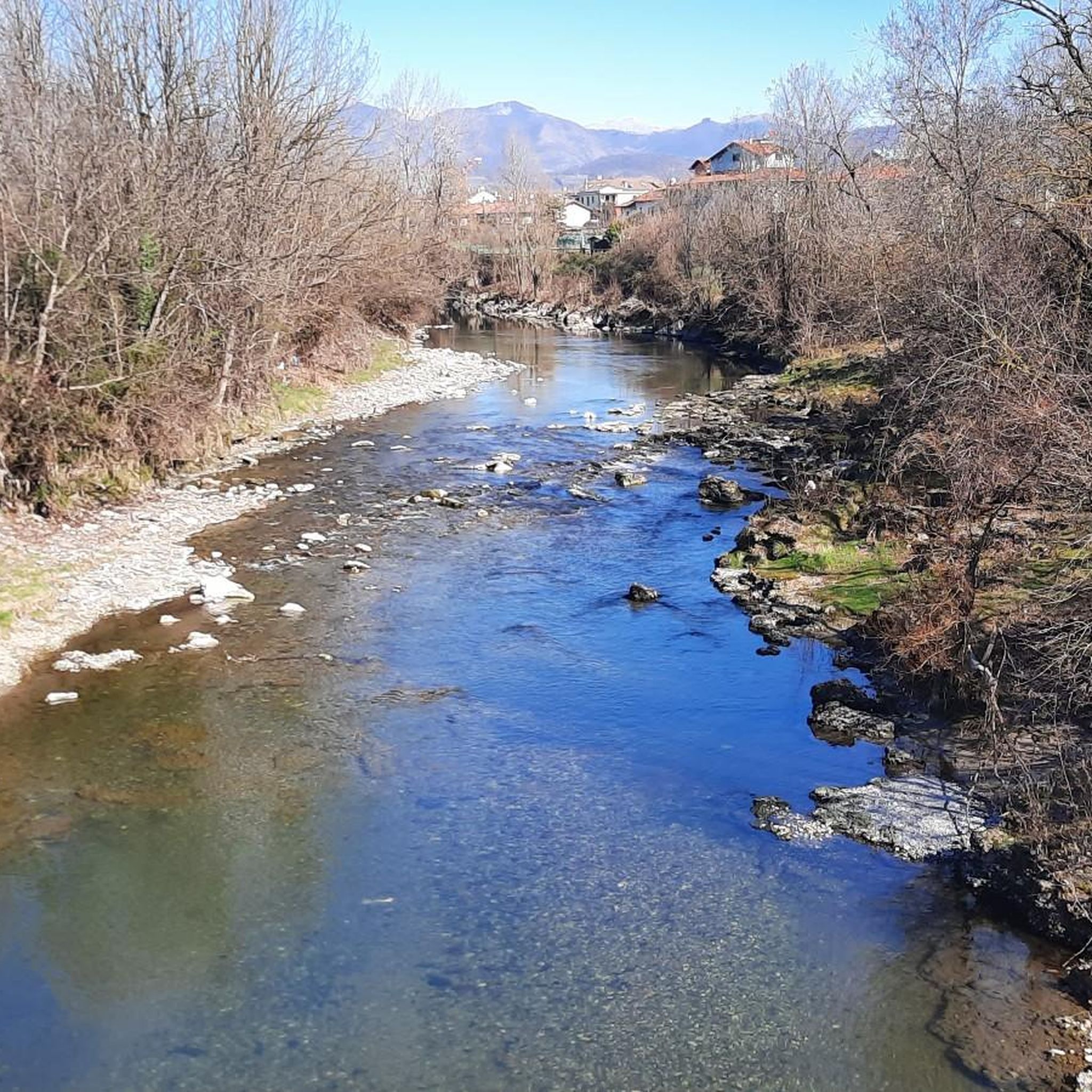
Hiking around Orio Al Serio offers access to a diverse landscape, ranging from the urban nature of the Parco dei Colli di Bergamo to the foothills of the Orobie Alps. The region is characterized by varied topography, including verdant valleys, extensive woodlands, and riverine environments along the Serio. Hikers can explore trails through beech, larch, spruce, and silver fir woods, as well as high-altitude pastures. This area provides a rich tapestry of natural features for outdoor exploration.
Best hiking trails…
Last updated: August 5, 2026
1.0
(1)
24
hikers
Moderate hike. Good fitness required. Easily-accessible paths. Suitable for all skill levels.
5.0
(1)
16
hikers
7.18km
01:50
20m
20m
Easy hike. Great for any fitness level. Easily-accessible paths. Suitable for all skill levels.

Sign up for free
19
hikers
5.39km
01:22
10m
10m
Easy hike. Great for any fitness level. Easily-accessible paths. Suitable for all skill levels.
18
hikers
5.71km
01:27
10m
10m
Easy hike. Great for any fitness level. Easily-accessible paths. Suitable for all skill levels.
10
hikers
4.99km
01:17
20m
20m
Easy hike. Great for any fitness level. Easily-accessible paths. Suitable for all skill levels.
Get access to more routes and recommendations from other explorers.
Sign up for free
Already have an account?
Our route recommendations are based on thousands of hikes, rides, and runs completed by other people on komoot.
Start today with a free account
Your next adventure awaits.
Login or Signup

Tips from the Community

Piazza Mercato delle Scarpe is one of the oldest squares in Bergamo Alta. It represents the main gateway to the old city for anyone using the historic funicular, whose arrival station opens directly onto the square. It has a characteristic irregular shape and serves as a fundamental road junction between the streets rising from the lower city and those winding within the medieval walls.
0
0

excellent for bike commuting and racing
0
0

The Tore dei Caduti is one of the most emblematic monuments of the lower town. It was built after the First World War, not only in honor and memory of the victims of Bergamo, but also to exalt and consolidate nationalism, as Mussolini explicitly stated in his inauguration speech on October 27, 1924.
1
0

I once saw a James in front of the door but he wasn't the saint...
4
0

Nice pedestrian zone with many shops and restaurants
0
0
Absolutely beautiful, and lots of historic buildings...
1
0

here the funicular arrives and you can walk along the most beautiful street of the upper city, many local shops along the street that then leads to the old square
2
0
the heart of the upper city, a very beautiful square, very popular with locals and visitors. The basilica is very beautiful and worth a visit
2
0
Frequently Asked Questions
How many hiking trails are available around Orio al Serio?
There are over 700 hiking routes around Orio al Serio, offering a wide range of experiences from easy strolls to challenging mountain treks. These trails are highly rated by the komoot community, with an average score of 4.4 stars.
What kind of landscapes can I expect when hiking near Orio al Serio?
The region around Orio al Serio offers diverse landscapes, from the urban nature of the Parco dei Colli di Bergamo to the foothills of the Orobie Alps. You'll find verdant valleys, extensive woodlands of beech, larch, spruce, and silver fir, high-altitude pastures, and riverine environments along the Serio. The Orobie Alps feature peaks reaching nearly 3,000 meters, with trails revealing ancient mule tracks and World War paths.
Are there family-friendly hiking options near Orio al Serio?
Yes, there are many easy routes suitable for families. For instance, the Gravel path in Grumello loop from Azzano San Paolo is an easy 4.6-mile (7.4 km) trail that takes less than two hours to complete, perfect for a leisurely family outing. The Parco dei Colli di Bergamo also offers accessible trails for all ages.
Can I find circular hiking routes in the Orio al Serio area?
Many routes around Orio al Serio are designed as loops, allowing you to start and end at the same point. A popular moderate option is the San Giacomo Gate – Bergamo Cathedral loop from Bergamo, which is 7.6 miles (12.3 km) and explores the historic Upper Town of Bergamo.
What are some notable natural attractions or landmarks to see while hiking?
The region is rich in natural beauty and historical sites. You can explore the Serio waterfalls in the Orobie Alps, or visit the Pozza del Colle. For historical landmarks, consider routes that pass by castles like Malpaga Castle or San Vigilio Castle. The Cittadella Viscontea di Bergamo is another interesting historical site.
Are there dog-friendly hiking trails around Orio al Serio?
Many trails in the Bergamo region are suitable for hiking with dogs, especially those in the Parco dei Colli di Bergamo and the lower-altitude paths. Always ensure your dog is on a leash where required and check local regulations, particularly in protected areas like the Orobie Park, to ensure a pleasant experience for everyone.
What is the best time of year to go hiking in Orio al Serio?
The best time for hiking around Orio al Serio is generally from spring to autumn (April to October). During these months, the weather is pleasant, and the trails are most accessible. Summer offers lush greenery, while autumn brings vibrant colors to the woodlands. Higher altitude trails in the Orobie Alps are best enjoyed in summer and early autumn when snow has melted.
Are there any easy hiking routes for beginners near Orio al Serio?
Yes, beginners can find many easy routes. The Parco dei Colli di Bergamo offers accessible trails with gentle gradients. For a slightly longer but still manageable option, consider the San Giacomo Gate – Streets of Bergamo's Città Alta loop from Bergamo, a moderate 8-mile (12.9 km) route that provides cultural sights without extreme difficulty.
Where can I find parking for hiking trails in the Orio al Serio area?
Parking availability varies by trailhead. For trails closer to Bergamo, such as those exploring the Città Alta, public parking garages are available. For routes in more natural areas like the Parco dei Colli or the foothills of the Orobie Alps, designated parking lots are often found near popular starting points. It's advisable to check specific route details on komoot for parking recommendations.
Can I reach hiking trailheads using public transport from Orio al Serio?
Yes, Orio al Serio is well-connected to Bergamo by public transport, which then serves as a hub for reaching various trailheads. From Bergamo, you can use local buses to access areas like the Parco dei Colli di Bergamo or take the San Vigilio Funicular for elevated starting points with panoramic views. For more remote trails in the Orobie Alps, a combination of bus and sometimes a short taxi ride might be necessary.
What do other hikers enjoy most about the trails around Orio al Serio?
The komoot community highly rates the trails around Orio al Serio, with an average score of 4.4 stars from over 2900 reviews. Hikers frequently praise the diverse scenery, from historic city views to tranquil river paths and challenging mountain landscapes. The well-maintained paths and the variety of difficulty levels also receive positive feedback.
Are there opportunities for refreshments or cafes along the hiking routes?
Yes, especially on trails closer to Bergamo or passing through villages. In Bergamo's Città Alta, you'll find numerous cafes and restaurants. For longer routes in the Orobie Alps, there are mountain refuges that offer food and accommodation. It's always a good idea to carry sufficient water and snacks, especially on more remote trails.
Most popular routes around Orio Al Serio
Most popular attractions around Orio Al Serio

Get inspired with the komoot mobile app


Explore more
Browse the best Hikes in other regions.
