The best road cycling routes around Thierhaupten
4.5
(442)
5,744
riders
26
rides
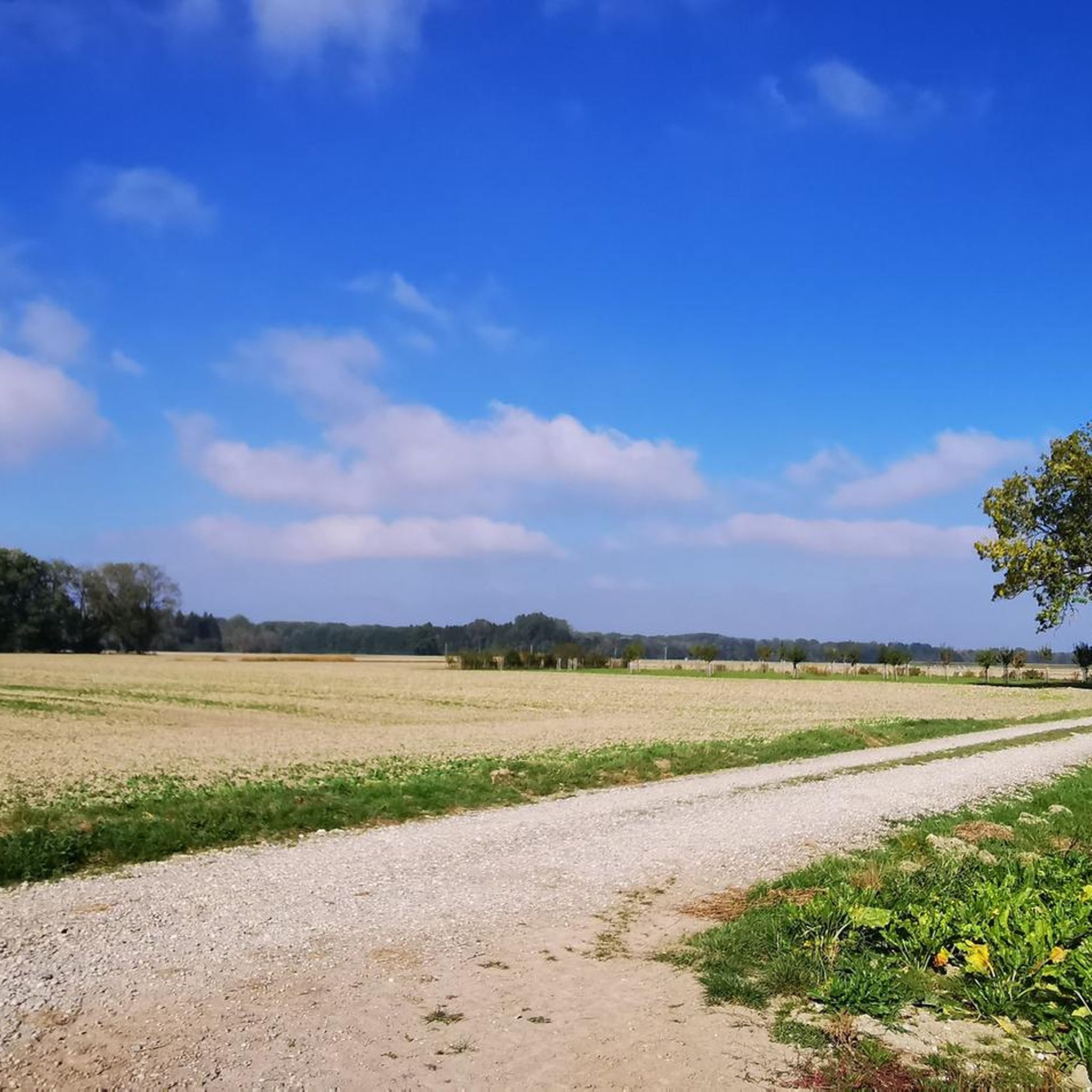
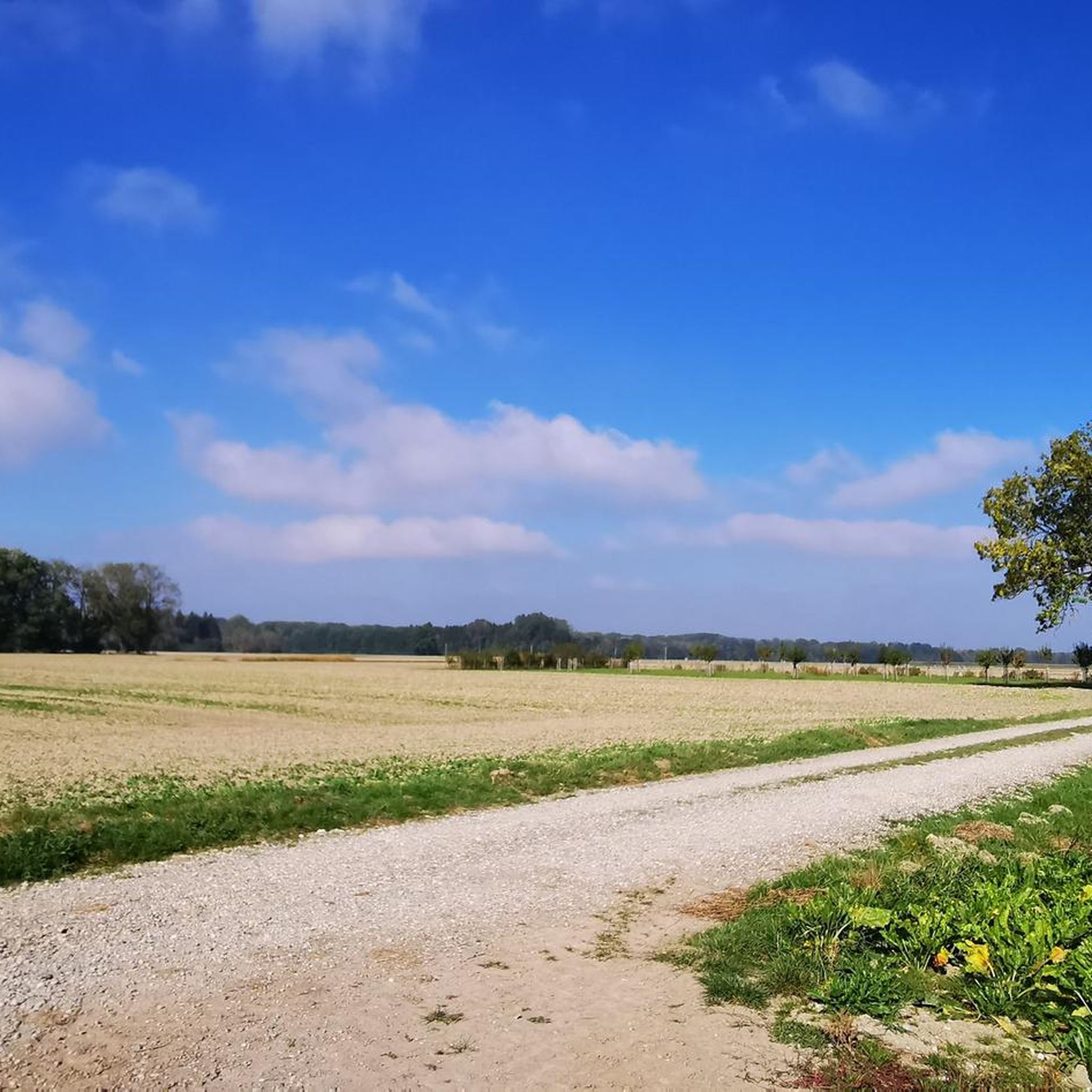
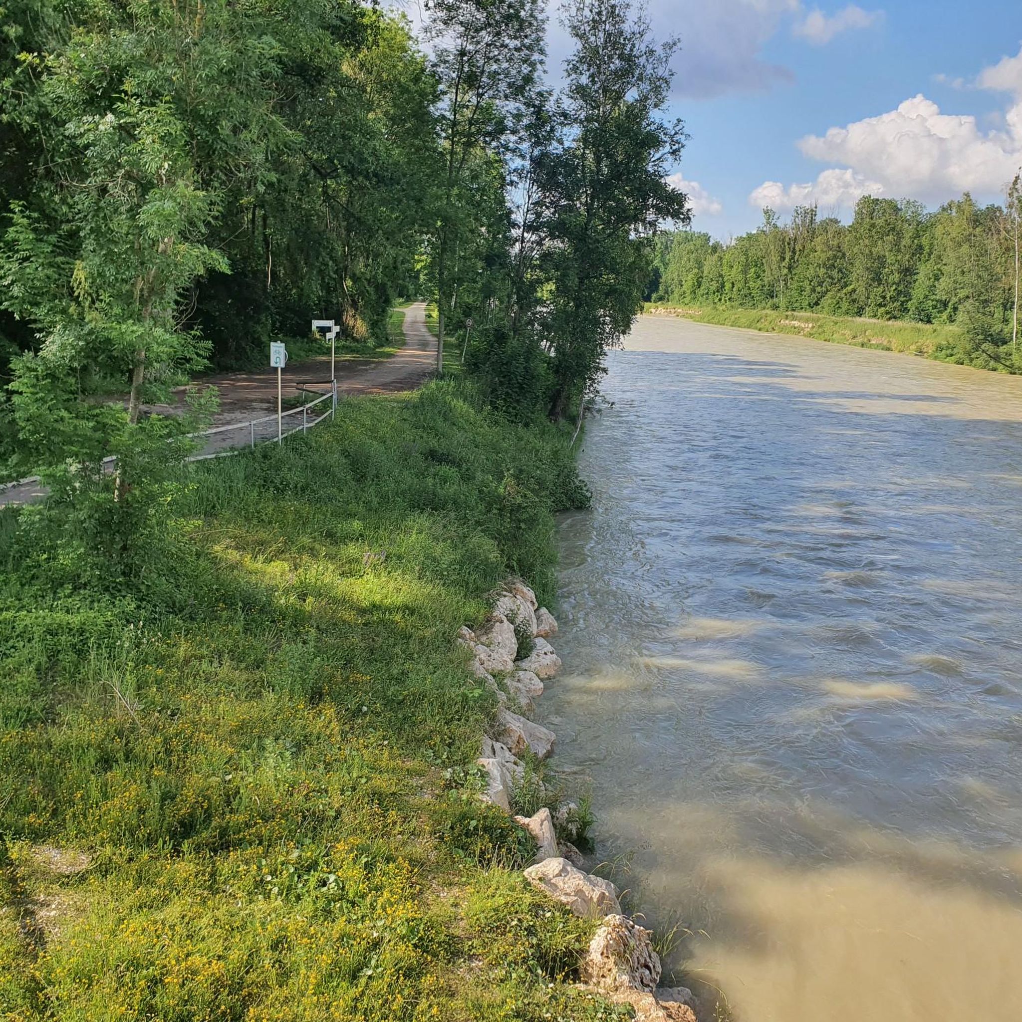
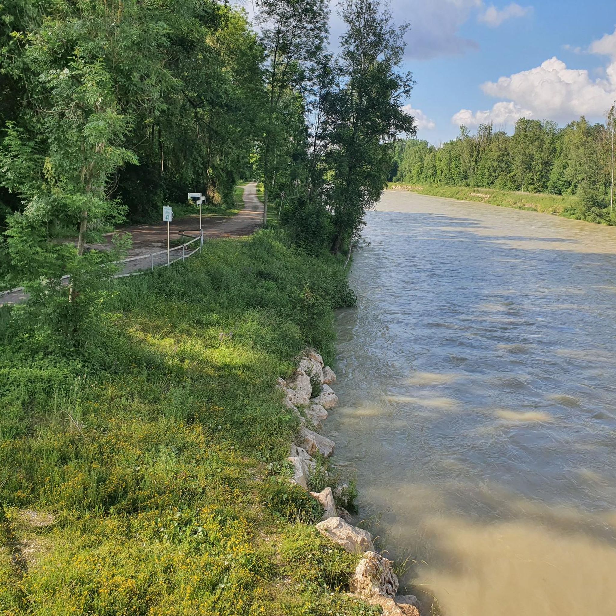
Road cycling around Thierhaupten is characterized by its diverse landscapes, featuring the Lech River and the Lech Canal, which provide mostly flat terrain. The region, part of Bavarian Swabia, includes the Augsburg Western Forests Nature Park, offering gentle hills and numerous streams. This area provides a network of quiet roads and dedicated paths suitable for road cycling.
Best road cycling routes around Thierhaupten
- The most popular road cycling route is Cycle Path to Holzheim – Bayerdilling Cycle Path loop from Hölzlarn, an easy 25.2 miles (40.6 km) trail that takes 1 hour 37 minutes to complete. This route offers a pleasant ride through the local countryside.
- Another top favourite among local road cyclists is Asphalt Bike Path (Alsmoos) – Road Past Chapel and Pond loop from Thierhaupten, a moderate 30.1 miles (48.5 km) path. This route features an asphalt bike path passing by a chapel and pond.
- Local road cyclists also love the Lech Bridge loop from Thierhaupten, a 24.9 miles (40.1 km) trail leading along the Lech River, often completed in about 1 hour 40 minutes.
- Road cycling around Thierhaupten is defined by its routes along the Lech River and Lech Canal, through gentle hills, and within the Augsburg Western Forests Nature Park. The network offers options for different ability levels, from easy to moderate.
- The routes in Thierhaupten are highly rated by the komoot community with an average score of 4.9 stars from more than 5 reviews. More than 250 road cyclists have used komoot to explore Thierhaupten's varied terrain.
Last updated: October 14, 2026
4.5
(2)
42
riders
40.5km
01:36
160m
160m
Easy road ride. Great for any fitness level. Mostly well-paved surfaces and easy to ride.
5.0
(3)
34
riders
Moderate road ride. Good fitness required. Mostly well-paved surfaces and easy to ride.

5.0
(2)
22
riders
40.2km
01:41
280m
280m
Easy road ride. Great for any fitness level. Mostly well-paved surfaces and easy to ride.
5.0
(1)
13
riders
38.6km
01:35
250m
250m
Easy road ride. Great for any fitness level. Mostly well-paved surfaces and easy to ride.
13
riders
Moderate road ride. Good fitness required. Mostly well-paved surfaces and easy to ride.
Get access to more routes and recommendations from other explorers.
Already have an account?
Our route recommendations are based on thousands of hikes, rides, and runs completed by other people on komoot.
Start today with a free account
Your next adventure awaits.
Tips from the Community

Great city gate to the city
0
0

Mandatory bike path along the road between Bayerdilling and Rain. It rolls along comfortably on good asphalt.
1
0

Neatly signposted district border. Here the districts of Aichach-Friedberg and Augsburg border each other.
0
0

Safe from Pessenburgheim to Holzheim because of the cycle path
0
0
From Bayerdilling to Pessenburgheim safe because of the cycle path
0
0
Flat here, the bike runs effortlessly
0
0
Long flat straight stretch, as usual in the moss
0
0
Connection Oberbernbach - Motzenhofen, towards Motzenhofen it goes a little downhill
1
0
Frequently Asked Questions
How many road cycling routes are available around Thierhaupten?
There are over 25 road cycling routes around Thierhaupten, offering a variety of options for different skill levels. You'll find 11 easy routes and 17 moderate routes to explore.
What kind of terrain can I expect on road cycling routes near Thierhaupten?
The terrain around Thierhaupten is generally characterized by mostly flat sections along the Lech River and Lech Canal. However, routes extending into the Augsburg Western Forests Nature Park may feature gentle hills, providing a varied cycling experience.
Are there routes suitable for beginners or those looking for an easy ride?
Yes, Thierhaupten offers several easy road cycling routes. A popular choice is the Cycle Path to Holzheim – Bayerdilling Cycle Path loop from Hölzlarn, which is an easy 25.2-mile (40.6 km) trail, perfect for a relaxed ride through the countryside.
What natural features or landmarks can I see while road cycling around Thierhaupten?
While cycling, you can enjoy the scenic beauty of the Lech River and Lech Canal. Notable landmarks include the Historic hydropower plant Bavaria, part of Augsburg's world cultural heritage, and the Neptune Sculpture at the Lech Bridge. Many routes also pass through the tranquil Augsburg Western Forests Nature Park.
Are there any historical or cultural sites accessible by road bike in the region?
Absolutely. Cyclists can visit the historic Holzen Abbey and its Abbey Church of St. John the Baptist, which offers a cultural point of interest along various routes. The region also features several castles, such as Scherneck Castle and Markt Castle (Fugger Castle Markt), which can be explored as part of longer rides.
Is there convenient parking for cyclists in Thierhaupten?
While specific parking areas for cyclists are not detailed, Thierhaupten, as a smaller community, typically offers general parking options. It's advisable to look for public parking lots or designated areas near the start of your chosen route.
Can I reach Thierhaupten's cycling routes using public transport?
Thierhaupten is connected to the regional public transport network. While direct train access might be limited, bus services often connect to larger towns with train stations, making it possible to reach the area and start your cycling tour.
When is the best time of year to go road cycling in Thierhaupten?
The spring, summer, and early autumn months generally offer the most pleasant conditions for road cycling in Thierhaupten, with milder temperatures and less chance of adverse weather. The scenic landscapes are particularly beautiful during these seasons.
Are there family-friendly road cycling routes around Thierhaupten?
Many of the routes along the Lech River and Lech Canal are relatively flat and well-paved, making them suitable for families. These paths often avoid heavy traffic, providing a safer and more enjoyable experience for cyclists of all ages.
What do other road cyclists enjoy the most about road cycling in Thierhaupten?
The road cycling routes around Thierhaupten are highly rated by the komoot community, with an average score of 4.9 stars. Reviewers often praise the diverse landscapes, the quiet roads, and the well-maintained paths along the rivers and through the nature park.
Are there any circular road cycling routes in Thierhaupten?
Yes, many of the routes around Thierhaupten are designed as loops, allowing you to start and end your ride in the same location. An example is the Lech Bridge loop from Thierhaupten, which is a 24.9-mile (40.1 km) trail along the Lech River.
Are there options for longer or more challenging road cycling tours?
For those seeking longer rides, the region connects to significant long-distance routes like the Via Claudia Augusta, the Lech Cycle Path (Lechradweg), and the Lech-Donau Cycle Route. These offer extended journeys with varied terrain, including some sections with gentle climbs.
Can I find cafes or pubs along the road cycling routes in Thierhaupten?
Thierhaupten and the surrounding villages offer local cafes and pubs where cyclists can stop for refreshments. Planning your route to pass through these smaller towns will provide opportunities for breaks and to experience local hospitality.
Most popular routes around Thierhaupten
Most popular attractions around Thierhaupten

Get inspired with the komoot mobile app


Explore more
Browse the best Road cycling routes in other regions.
