The best gravel rides around Thierhaupten
4.4
(44)
270
riders
49
rides
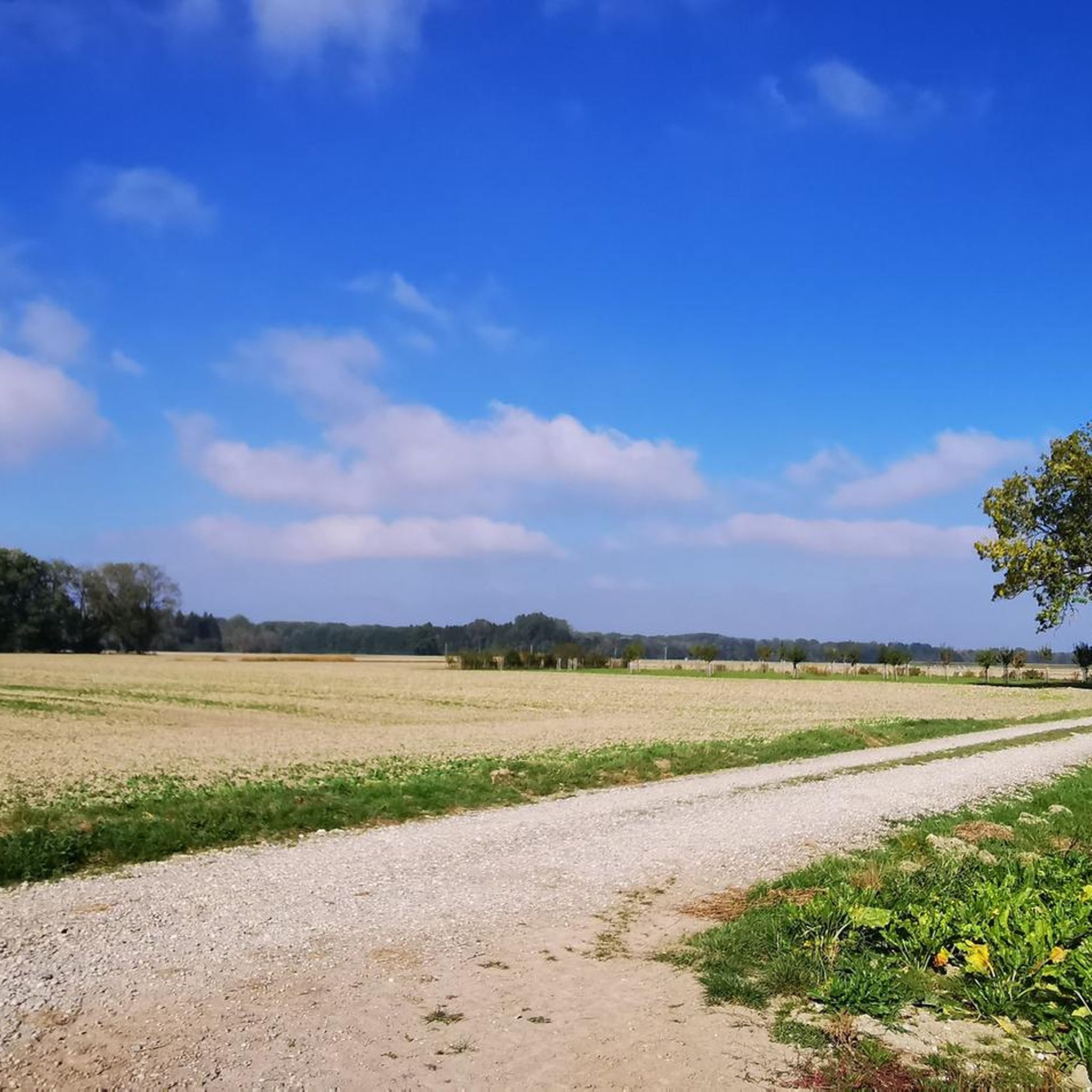
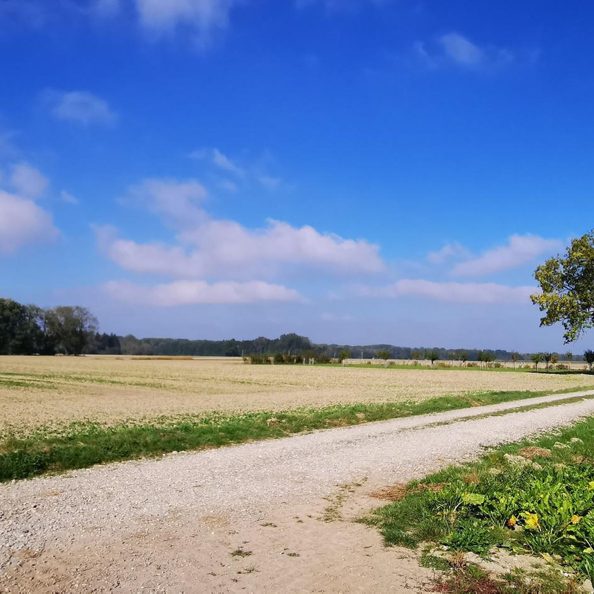
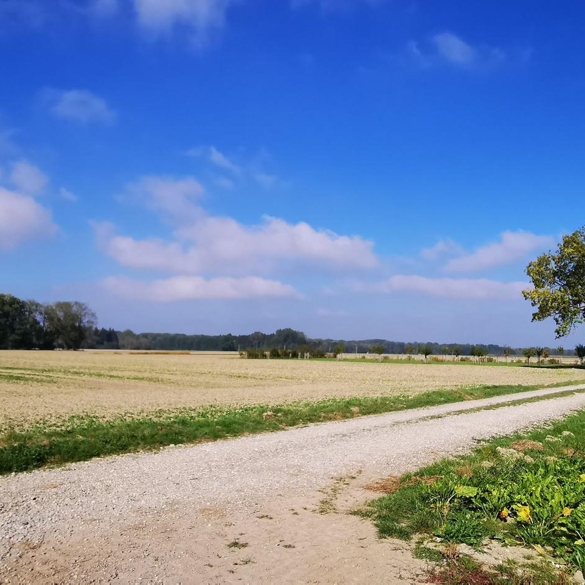
Gravel biking around Thierhaupten features routes that traverse the Lech river valley and utilize former railway lines. The region is characterized by a mix of open fields, riverside paths, and sections through wooded areas. Elevations are generally moderate, with some routes offering more challenging climbs. This landscape provides varied terrain suitable for gravel biking.
Best gravel bike trails around Thierhaupten
- The most popular gravel bike trail is Weldenbahn Cycle Path Section – Weldenbahn Cycle Path loop from Herbertshofen, a 32.8 miles (52.8 km) trail that takes about 3 hours 43 minutes to complete. This route follows a historic railway line, offering a consistent surface for gravel riding.
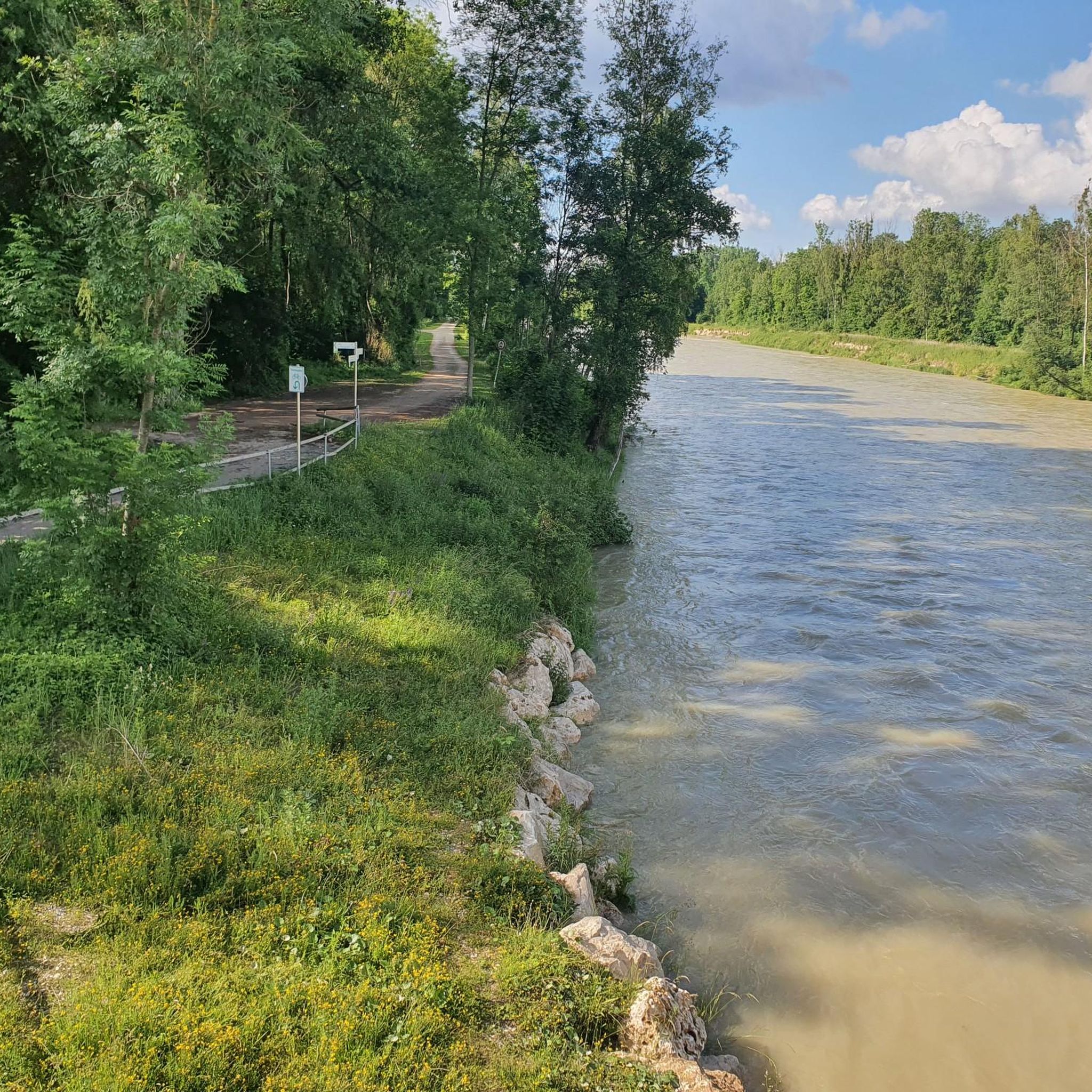
- Another top favourite among local gravel bikers is Gravel banks along the Lech – View of the Lech River loop from Meitingen, an easy 14.2 miles (22.8 km) path. This route offers scenic views along the Lech River, with sections on gravel banks.
- Local gravel bikers also love the Otilien Chapel loop from Herbertshofen, an 18.4 miles (29.6 km) trail leading through varied terrain with some significant elevation gain, often completed in about 1 hour 50 minutes.
- Gravel biking around Thierhaupten is defined by river valleys, former railway lines, and agricultural landscapes. The network offers options for easy, moderate, and difficult routes, catering to different ability levels.
- The routes in Thierhaupten are highly rated by the komoot community with an average score of 4.3 stars from over 60 reviews. More than 380 gravel bikers have used komoot to explore Thierhaupten's varied terrain.
Last updated: October 6, 2026
3.0
(1)
20
riders
34.9km
02:09
70m
70m
Moderate gravel ride. Good fitness required. Mostly paved surfaces. Suitable for all skill levels.
5.0
(4)
26
riders
Moderate gravel ride. Good fitness required. Mostly paved surfaces. Suitable for all skill levels.

5.0
(1)
9
riders
30.0km
01:53
260m
260m
Hard gravel ride. Good fitness required. You may need to push your bike for some segments of this route.
4.5
(4)
15
riders
65.9km
03:28
270m
270m
Moderate gravel ride. Good fitness required. Mostly paved surfaces. Suitable for all skill levels.
5.0
(1)
10
riders
48.2km
03:04
210m
210m
Hard gravel ride. Good fitness required. You may need to push your bike for some segments of this route.
Get access to more routes and recommendations from other explorers.
Already have an account?
Our route recommendations are based on thousands of hikes, rides, and runs completed by other people on komoot.
Start today with a free account
Your next adventure awaits.
Tips from the Community

The interior is cozy and definitely invites you to linger for a while. If you walk about 400 meters further on the Hörgrabenweg and follow the first forest path leading left slightly uphill, you will reach the August-Ganghofer-Hütte. Pinecone target shooting on Nepomuk's nose Have fun with the target throwing: Hit the "Sparrow's Nest" with the pinecones! The game: Visitors pick up pinecones or spruce cones from the forest floor and try to hit a hole (the so-called "Sparrow's Nest") under the arm or directly the nose of the wooden figure of the bridge saint Nepomuk. The background: The station is part of a child-friendly adventure trail that playfully recalls the childhood of the homeland writer Ludwig Ganghofer, who grew up in Welden for a few years.
0
0

A beautiful hiking trail on both sides of the Wertach.
0
0

Depending on the water flow in the Lech, north of the weir in Gersthofen, the "river" is only fed by the water flowing through the fish ladder, with the water being primarily diverted into the Lech canal.😒
0
0

Via Julia 280km long cycle route from Günzburg to Salzburg
0
0

Paved path on the former railway line. It climbs for a few kilometers from Augsburg, then descends almost all the way to Horgau. Generally quite straight, but at some intersections there are "chicanes" that deliberately force slow driving.
0
0


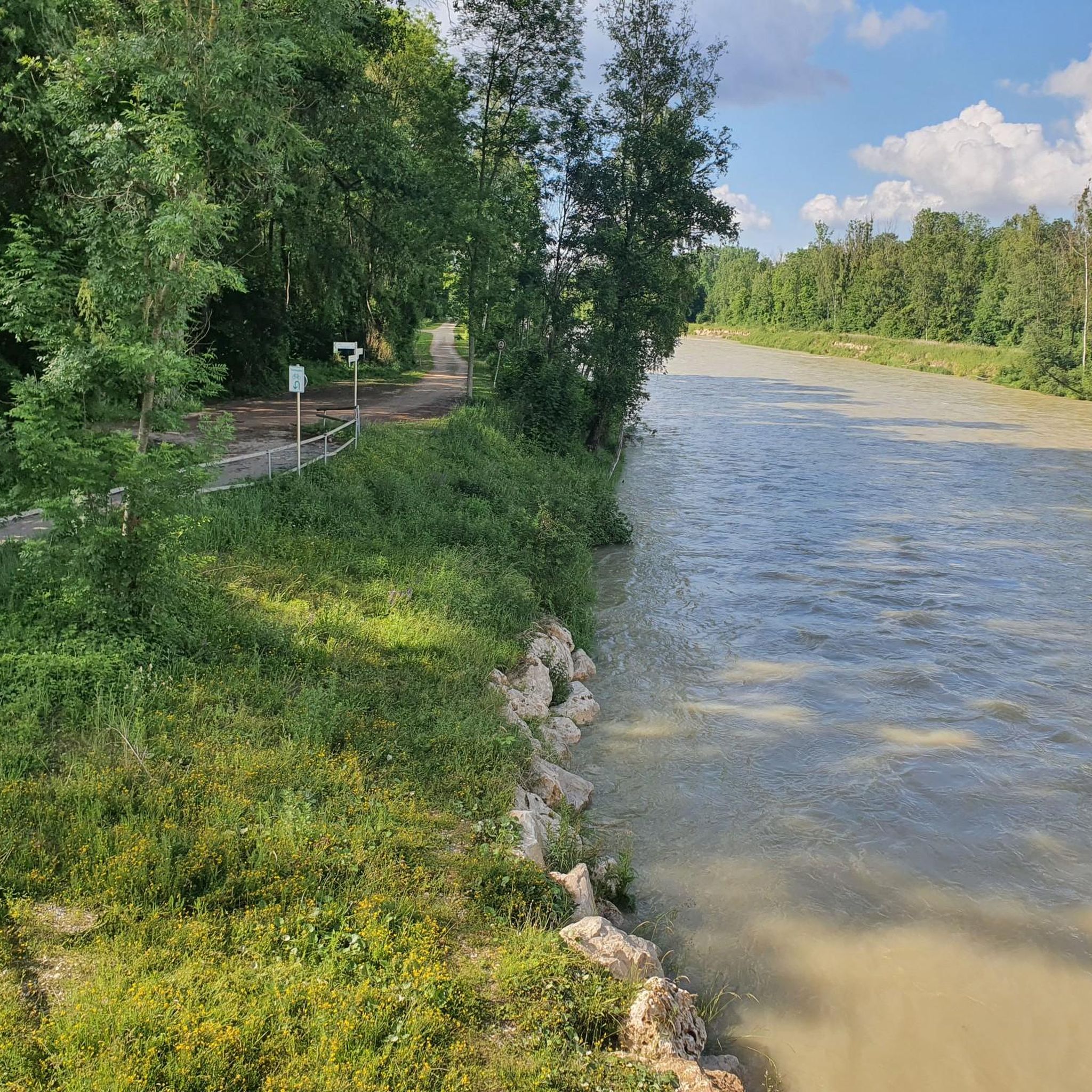
The Lech is a right tributary of the Danube. The 256 km long river originates in Vorarlberg in the Hochtannberg region at the confluence of the Spullerbach and Formarinbach streams in the Tannläger valley. It flows through Tyrol and southern Bavaria, where it empties into the Danube. Shortly before the Austrian-German border, it joins the Vils river, forms the artificial Lechfall near Füssen, and crosses Swabia and Upper Bavaria on its way. The largest cities on the Lech are Landsberg and Augsburg; in this city, it receives its largest tributary, the Wertach. The river empties into the Danube near Marxheim. Source: Wikipedia
1
0
The Lech is a right tributary of the Danube. The 256 km long river originates in Vorarlberg in the Hochtannberg region at the confluence of the Spullerbach and Formarinbach streams in the Tannläger valley. It flows through Tyrol and southern Bavaria, where it empties into the Danube. Shortly before the Austrian-German border, it joins the Vils river, forms the artificial Lechfall near Füssen, and crosses Swabia and Upper Bavaria on its way. The largest cities on the Lech are Landsberg and Augsburg; in this city, it receives its largest tributary, the Wertach. The river empties into the Danube near Marxheim. Source: Wikipedia
1
0
Frequently Asked Questions
How many gravel bike trails are available around Thierhaupten?
There are over 60 gravel bike routes available around Thierhaupten. These routes cater to various skill levels, with options ranging from easy to difficult.
What kind of terrain can I expect on gravel bike trails in Thierhaupten?
The gravel biking terrain around Thierhaupten is diverse, featuring routes that traverse the Lech river valley, utilize former railway lines, and pass through open fields and wooded areas. You'll find a mix of riverside paths and sections with moderate elevations, providing varied surfaces suitable for gravel riding.
Are there easy gravel bike trails suitable for beginners in Thierhaupten?
Yes, Thierhaupten offers several easy gravel bike trails perfect for beginners. One such route is Gravel banks along the Lech – View of the Lech River loop from Meitingen, an easy 14.2-mile (22.8 km) path that offers scenic views along the Lech River with minimal elevation gain.
Are there challenging gravel bike routes for experienced riders?
Absolutely. For experienced riders seeking a challenge, routes like the Otilien Chapel loop from Herbertshofen offer significant elevation gain over its 18.4 miles (29.6 km), leading through varied and more demanding terrain. There are 14 difficult routes in total.
Are there any circular gravel bike routes in the Thierhaupten area?
Yes, many routes in the Thierhaupten area are designed as loops. For example, the Weldenbahn Cycle Path Section – Weldenbahn Cycle Path loop from Herbertshofen is a popular circular trail following a historic railway line. Another option is the On the Lech embankment – Thierhaupten Bird Sanctuary loop from Thierhaupten.
What natural attractions or points of interest can I see along the gravel bike trails near Thierhaupten?
Along the gravel bike trails, you can explore various natural attractions. Highlights include the Monastery pond with school and educational garden, the Lechauen bei Thierhaupten Nature Reserve, and the Mandlachsee. These offer scenic views and opportunities for a break.
Are there any huts or shelters along the routes for a break?
Yes, there are several huts and shelters in the vicinity that can serve as resting points. Notable options include the St. Klaus Friends of Nature House, the Naturfreundehaus Vinzenz-Behr-Hütte, and the Josefshütte Thierhaupten-Ötz.
What do other gravel bikers say about the trails in Thierhaupten?
The gravel biking routes in Thierhaupten are highly rated by the komoot community, with an average score of 4.3 stars from over 60 reviews. More than 380 gravel bikers have explored the area, often praising the varied terrain, scenic river views, and well-maintained paths, especially those along former railway lines.
Are there family-friendly gravel bike routes in Thierhaupten?
Many of the easier routes, particularly those following the consistent surfaces of former railway lines or flat riverside paths, are suitable for families. These routes often have minimal elevation changes and offer a pleasant experience for all ages.
What is the best time of year for gravel biking in Thierhaupten?
Spring, summer, and early autumn generally offer the best conditions for gravel biking in Thierhaupten, with pleasant temperatures and lush scenery. While some routes may be accessible in winter, be prepared for colder temperatures and potentially muddy or icy sections, especially in shaded areas or along riverbanks.
Where can I find parking for gravel biking in Thierhaupten?
Many gravel bike routes in the Thierhaupten area start from towns like Herbertshofen, Meitingen, or Thierhaupten itself. You can typically find public parking facilities in these locations, often near train stations or town centers, providing convenient access to the trailheads.
Most popular routes around Thierhaupten
Most popular attractions around Thierhaupten

Get inspired with the komoot mobile app


Explore more
Browse the best Gravel rides in other regions.
