The best walks and hikes in the Taiyetos Oros Mountains
4.4
(1738)
8,599
hikers
145
hikes
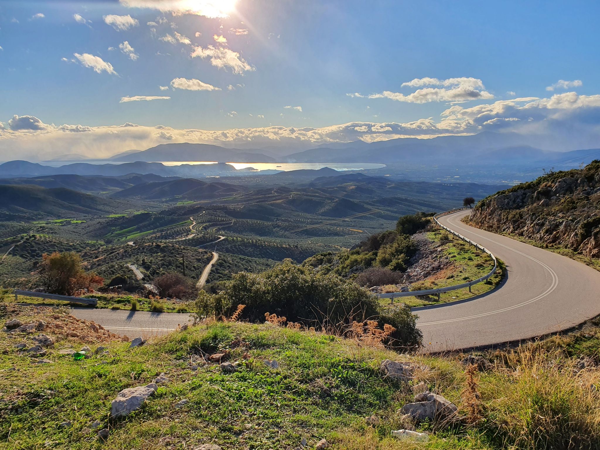
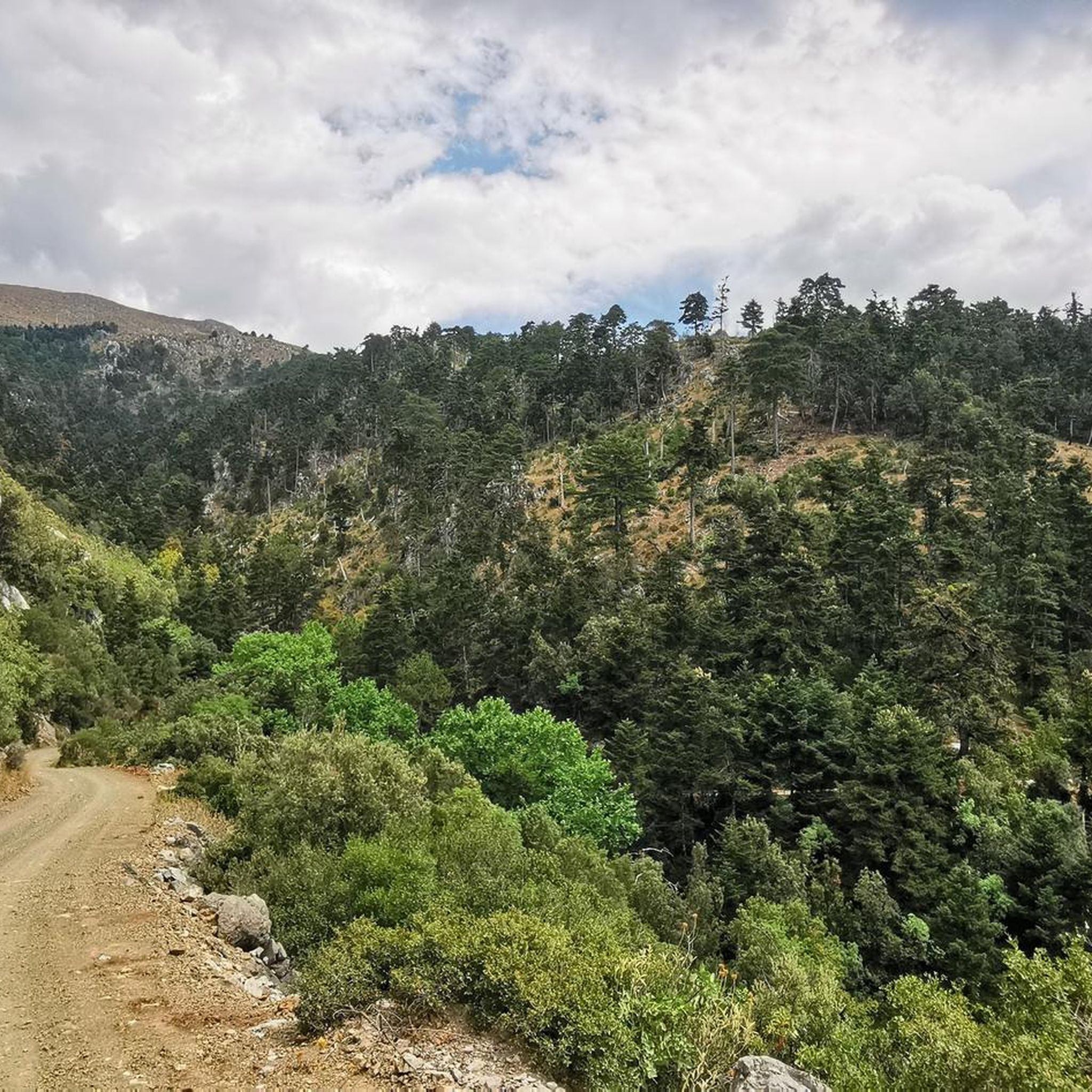
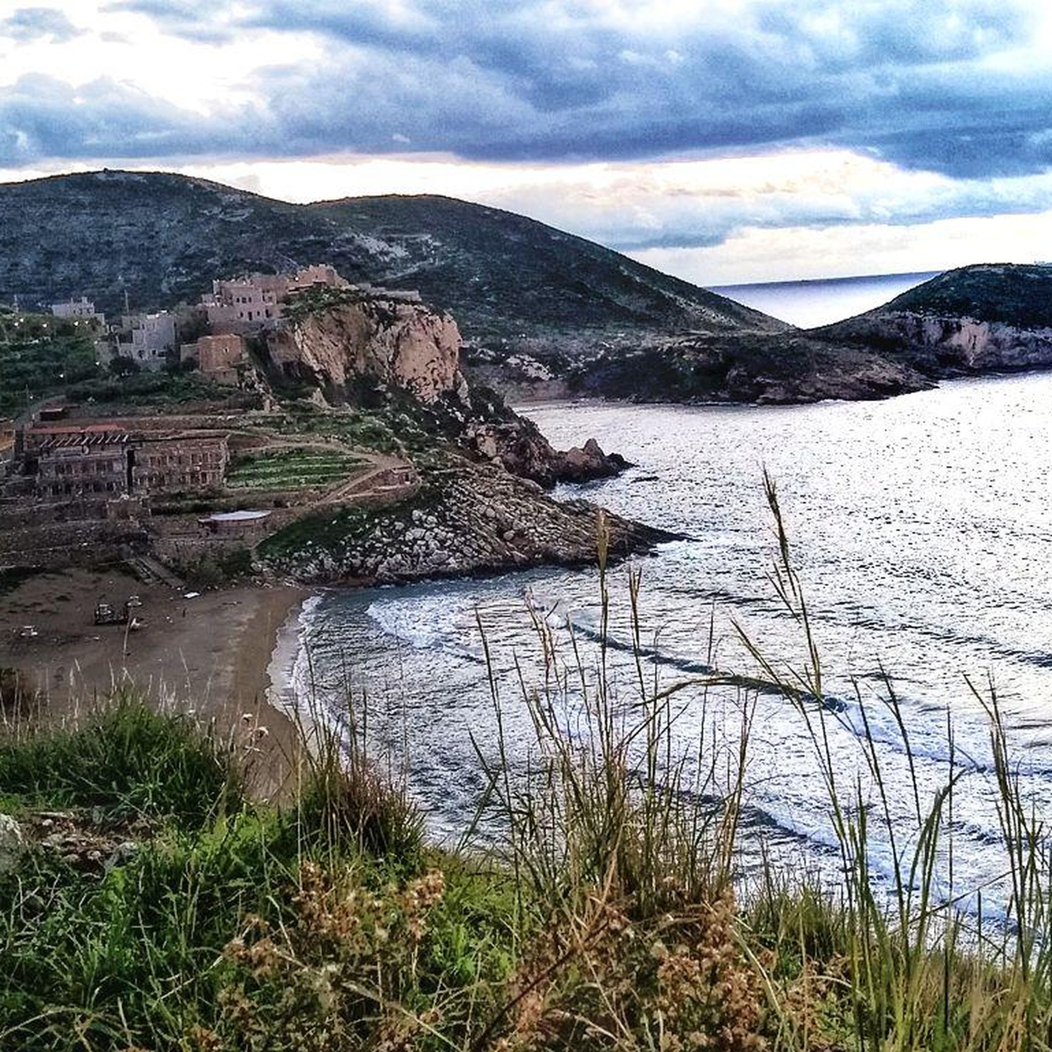
Hiking in the Taiyetos Oros Mountains offers diverse terrain within the Peloponnese, Greece, characterized by steep ridges, deep gorges, and verdant valleys. The range is predominantly composed of limestone and dolomite, leading to extensive karst formations. Elevations range from Mediterranean coastal vegetation at lower altitudes to alpine environments, with the highest point being Profitis Ilias at 2,407 meters. The region's varied microclimates support a rich biodiversity, including coniferous forests and numerous endemic plant species.
Best hiking trails in the Taiyetos Oros Mountains
- The most popular hiking route is Canyon Exit – Ridomo Gorge loop from Ανατολικό, a 6.4 miles (10.3 km) trail that takes 3 hours 10 minutes to complete. This route navigates through a prominent gorge.
- Another top favourite among local hikers is Kardamyli – Kardamyli Old Town loop from Kardamyli, an easy 3.8 miles (6.2 km) path. This route explores the historical seaside settlement of Kardamyli with its stone architecture.
- Local hikers also love the Parorion Gorge – Rest Area by the Forest Chapel loop from Archaeological Site of Mystras, a 5.1 miles (8.2 km) trail leading through a scenic gorge near the historic Byzantine city, often completed in about 2 hours 33 minutes.
- Hiking in the Taiyetos Oros Mountains is defined by steep ridges, deep gorges, and diverse ecosystems. The extensive network offers options for various ability levels, from easy paths to demanding, multi-hour treks.
- The routes in Taiyetos Oros Mountains are highly rated by the komoot community with an average score of 4.5 stars from over 1,100 reviews. More than 5,700 hikers have used komoot to explore Taiyetos Oros Mountains's varied terrain.
Last updated: October 14, 2026
4.8
(155)
529
hikers
10.3km
03:10
360m
360m
Moderate hike. Good fitness required. Easily-accessible paths. Suitable for all skill levels.
4.7
(91)
355
hikers
6.09km
01:52
200m
200m
Easy hike. Great for any fitness level. Easily-accessible paths. Suitable for all skill levels.

4.8
(90)
350
hikers
7.00km
02:07
220m
220m
Moderate hike. Good fitness required. Easily-accessible paths. Suitable for all skill levels.
4.8
(47)
412
hikers
Easy hike. Great for any fitness level. Easily-accessible paths. Suitable for all skill levels.
4.5
(57)
184
hikers
Moderate hike. Good fitness required. Easily-accessible paths. Suitable for all skill levels.
4.8
(43)
147
hikers
15.4km
05:10
570m
570m
Hard hike. Very good fitness required. Sure-footedness, sturdy shoes and alpine experience required.
4.7
(43)
149
hikers
12.2km
04:11
630m
630m
Moderate hike. Good fitness required. Easily-accessible paths. Suitable for all skill levels.
4.9
(34)
149
hikers
14.5km
06:22
1,360m
1,360m
Hard hike. Very good fitness required. Easily-accessible paths. Suitable for all skill levels.
4.8
(36)
122
hikers
10.2km
03:35
570m
570m
Moderate hike. Good fitness required. Easily-accessible paths. Suitable for all skill levels.
4.7
(37)
240
hikers
Easy hike. Great for any fitness level. Easily-accessible paths. Suitable for all skill levels.
Get access to more routes and recommendations from other explorers.
Already have an account?
Our route recommendations are based on thousands of hikes, rides, and runs completed by other people on komoot.
Start today with a free account
Your next adventure awaits.
Other adventures in the Taiyetos Oros Mountains

Tips from the Community

Fantastic views But narrow gravel paths. Take trekking poles
0
0

The village surely has a name. From here, you can actually only see Kardamili!
1
0
Rewarding, "simple museum" that informs about the culture of Mani. Entrance fee for the entire ensemble (depending on status) €3-5
1
0
If you walk upstream along the river, the exit from the canyon is on the right-hand side, a few hundred meters past the stone bridge (which you walk under), or shortly after the rock wedged in the gorge. GPS reception is poor in the gorge itself, so don't let that confuse you.
0
0

A small church dating from 1604, perched high on a plateau above the old town of Kardamily, with benches and drinking water. Unfortunately, the church was locked, so we couldn't see the apparently well-preserved historical frescoes (described on an information panel in front of the church).
1
0

Walk clockwise. Extremely important. And the path is challenging, even for the most experienced and skilled hikers.
0
0

From Mystras, take the E4 up to the rest area, then descend the gorge to Parorio. From there, return to Mystras. Approx. 3 hours / 10 km
0
0
This rest area is located on the E4 hiking trail. From here, a path descends through the gorge to Parorio.
0
0
Frequently Asked Questions
What kind of terrain can I expect when hiking in the Taiyetos Oros Mountains?
The Taiyetos Oros Mountains are characterized by dramatically sculpted landscapes, featuring steep ridges, deep gorges, and verdant valleys. The geology is predominantly limestone and dolomite, leading to extensive karst formations like caves and sinkholes. You'll experience a remarkable transition of ecosystems, from Mediterranean flora at lower altitudes to coniferous forests and even subalpine and alpine zones at higher elevations, offering diverse scenery throughout your hike.
Are there hiking options for all skill levels in the Taiyetos Oros Mountains?
Yes, the Taiyetos Oros Mountains offer a wide range of hiking opportunities suitable for diverse fitness levels. The region has over 140 routes, including 61 easy, 71 moderate, and 14 difficult trails. Whether you're looking for a gentle stroll or a demanding multi-hour trek, you'll find a path that matches your ability.
What are some challenging hikes in the Taiyetos Oros Mountains?
For experienced hikers seeking a challenge, the Taiyetos Oros Mountains offer several demanding routes. One notable difficult trail is the Kardamyli Old Town – Agia Sofia Church loop from Kalamitsi Beach, covering over 15 km with significant elevation gain. Another is the Taygetos Mountain Refuge – Manganiari Spring loop from Μαγγανιάρη, which is nearly 14.5 km long and involves over 1300 meters of ascent, often requiring advanced fitness and sure-footedness.
Are there any family-friendly hikes in the Taiyetos Oros Mountains?
Absolutely. Many trails are suitable for families, offering easier paths to explore. An excellent option is the Kardamyli – Kardamyli Old Town loop from Kardamyli, an easy 6.2 km path that explores the historical seaside settlement. Another family-friendly choice is the Lower Town of Mystras – Palace of Mystras loop from Mystras, an easy 5.9 km trail leading through the historic Byzantine city.
What natural features or landmarks can I see along the hiking trails?
The Taiyetos Oros Mountains are rich in natural and historical landmarks. You can explore dramatic formations like the Rindomo Gorge or the Viros Gorge. The highest peak, Profitis Ilias, offers panoramic views and hosts a small stone church. The region also features numerous karst formations, including caves like Vlychada Cave, Diros, and picturesque traditional villages nestled on the mountain slopes.
Are there any circular hiking routes available?
Yes, many routes in the Taiyetos Oros Mountains are designed as loops, allowing you to start and end at the same point. For example, the Canyon Exit – Ridomo Gorge loop from Ανατολικό is a popular 10.3 km moderate trail. Another option is the Parorion Gorge – Rest Area by the Forest Chapel loop from Archaeological Site of Mystras, an 8.2 km moderate hike.
What is the best time of year to go hiking in the Taiyetos Oros Mountains?
The Taiyetos Oros Mountains are generally best for hiking in the spring (April to June) and autumn (September to November) when temperatures are milder and the landscapes are vibrant. Summer can be very hot, especially at lower altitudes, though higher elevations offer cooler conditions. Winter hiking is possible but requires appropriate gear and experience, especially for routes to higher peaks like Profitis Ilias, which may have snow.
What do other hikers enjoy most about hiking in the Taiyetos Oros Mountains?
The Taiyetos Oros Mountains are highly rated by the komoot community, with an average score of 4.5 stars from over 1,100 reviews. Hikers often praise the region's diverse terrain, from dramatic gorges to verdant forests, and the stunning panoramic views from higher elevations. The combination of natural beauty with significant historical and cultural sites, such as the Byzantine city of Mystras, is also a frequently highlighted aspect.
Are there any historical sites or traditional villages to explore along the trails?
Yes, the Taiyetos Oros Mountains offer a rich blend of natural beauty and historical significance. You can hike through the UNESCO World Heritage Site of Mystras, a Byzantine ruined city. Additionally, picturesque traditional villages like Anavryti, Longanikos, Arna, Parori, and Poliavaros are nestled on the mountain slopes, serving as charming starting points for treks and offering glimpses into local heritage with their old plane trees, stone houses, and fountains.
Is public transport available to reach trailheads in the Taiyetos Oros Mountains?
While some larger towns and villages near the Taiyetos Oros Mountains may have limited bus services, direct public transport to many specific trailheads within the rugged mountain range can be challenging. It is often advisable to use a car for greater flexibility, especially for accessing more remote starting points. Always check local transport schedules in advance if relying on public options.
Are there places to eat or stay near the hiking trails?
Yes, you'll find various options for food and accommodation, particularly in the traditional villages and towns surrounding the Taiyetos Oros Mountains. Villages like Kardamyli, Mystras, and Anavryti offer guesthouses, tavernas, and cafes. For longer expeditions, mountain refuges, such as the one in Varvara, provide essential amenities for overnight stays.
Are dogs allowed on the hiking trails in the Taiyetos Oros Mountains?
Generally, dogs are permitted on many hiking trails in the Taiyetos Oros Mountains, but it's always recommended to keep them on a leash, especially in areas with wildlife or near livestock. As parts of the region are Natura 2000 protected areas, it's crucial to respect local regulations and ensure your dog does not disturb the natural environment or other hikers. Always carry water for your dog and clean up after them.
Most popular routes in the Taiyetos Oros Mountains
Most popular attractions in the Taiyetos Oros Mountains

Get inspired with the komoot mobile app


Explore more
Browse the best Hikes in other regions.
