The best walks and hikes around Surpierre
4.5
(209)
1,280
hikers
98
hikes
Hiking around Surpierre offers routes through the rolling hills and agricultural landscapes of the Broye district in the canton of Fribourg. The region is characterized by its gentle valleys, open fields, and scattered woodlands, providing varied terrain for outdoor activities. Trails often connect charming villages and historical points of interest, such as castles.
Best hiking trails around Surpierre
- The most popular hiking route is Château de Lucens – Lucens Castle loop from Lucens, a 4.3 miles (7.0 km) trail…
Last updated: September 26, 2026
4.1
(8)
58
hikers
6.96km
02:02
180m
180m
Moderate hike. Good fitness required. Easily-accessible paths. Suitable for all skill levels.
28
hikers
Easy hike. Great for any fitness level. Easily-accessible paths. Suitable for all skill levels.

5.0
(2)
10
hikers
10.9km
03:00
170m
170m
Moderate hike. Good fitness required. Easily-accessible paths. Suitable for all skill levels.
5.0
(2)
15
hikers
5.47km
01:23
10m
10m
Easy hike. Great for any fitness level. Easily-accessible paths. Suitable for all skill levels.
4.3
(6)
12
hikers
10.3km
02:58
230m
230m
Moderate hike. Good fitness required. Easily-accessible paths. Suitable for all skill levels.
Get access to more routes and recommendations from other explorers.
Already have an account?
Our route recommendations are based on thousands of hikes, rides, and runs completed by other people on komoot.
Start today with a free account
Your next adventure awaits.

Tips from the Community

A suspension bridge that will delight young and old alike!
0
0
A footbridge over the Broye between Henniez and Villeneuve
0
0
Nice bridge over the Lembe.
0
0
The iconic Moulins de Granges.
0
0
Molasse rock on the heights of Marnand
0
0
Medieval church dedicated to Saint George
0
0
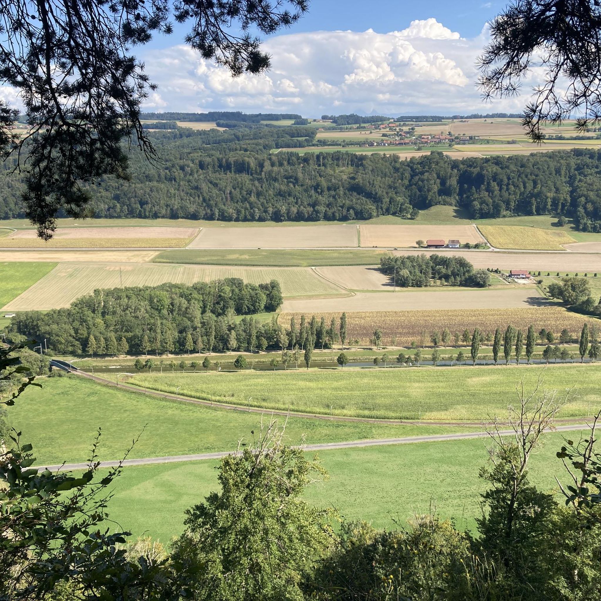
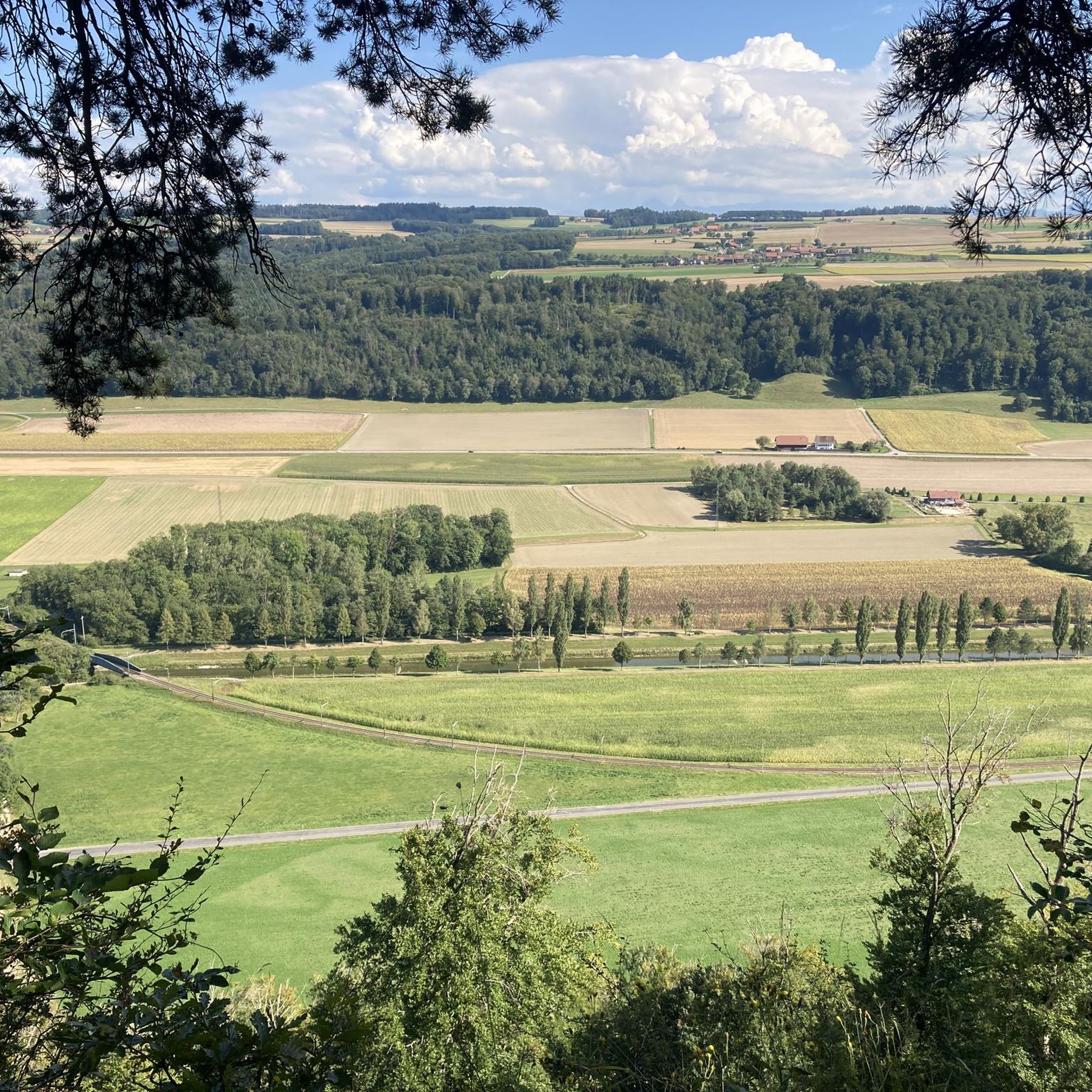
View from the Dent de Cremin - A magnificent view over the Broye valley
0
0

Very nice observation tower in the countryside.
0
0
Frequently Asked Questions
How many hiking trails are available around Surpierre?
There are over 100 hiking trails around Surpierre, offering a wide range of options for different skill levels. You'll find 42 easy routes, 57 moderate routes, and a few more challenging trails.
Are there easy or beginner-friendly hiking routes in Surpierre?
Yes, Surpierre offers numerous easy and beginner-friendly hiking routes. For instance, the Route des Broyons loop from Granges-près-Marnand is an easy 3.2-mile (5.1 km) path that meanders through local agricultural scenery with minimal elevation gain. Another gentle option is the Horse-Drawn Carriage Ride – Route des Broyons loop from Henniez, which is just under 3 miles (4.8 km) long.
What kind of scenery can I expect on hikes around Surpierre?
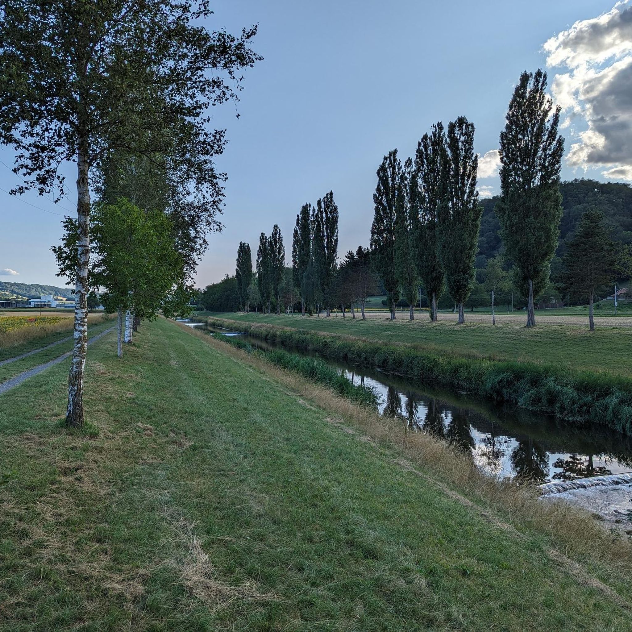
Hiking around Surpierre is characterized by its gentle valleys, expansive open agricultural fields, and scattered small forested areas. The region is part of the Broye district in the canton of Fribourg, known for its rolling hills and charming villages.
Are there any circular hiking routes in Surpierre?
Many of the trails around Surpierre are circular, allowing you to start and end at the same point. Popular loop options include the Château de Lucens – Lucens Castle loop from Lucens, which is a moderate 4.3-mile (7.0 km) trail, and the Route des Broyons – Surpierre Church loop from Granges-Marnand, covering 6.4 miles (10.2 km).
What are some interesting landmarks or attractions to see near the hiking trails?
The region around Surpierre is rich in historical sites and natural beauty. You can explore the historic Château de Lucens, which some trails pass by. Other nearby attractions include the Payerne Old Town and Abbey Church, and the serene Cheyres Nature Reserve near Lake Neuchâtel.
What do other hikers say about the trails in Surpierre?
The trails in Surpierre are highly regarded by the komoot community, holding an average rating of 4.5 out of 5 stars from over 170 reviews. Hikers often praise the well-maintained paths, the peaceful agricultural landscapes, and the variety of routes suitable for different fitness levels.
Are there any hikes with good viewpoints in the Surpierre area?
While Surpierre is characterized by gentle valleys and rolling hills rather than dramatic mountain peaks, many routes offer pleasant vistas over the agricultural landscapes and charming villages of the Broye district. The Château de Lucens – Lucens Castle loop from Lucens provides views of the historic castle and surrounding countryside.
What is the best time of year to go hiking in Surpierre?
The best time to hike in Surpierre is generally from spring through autumn (April to October). During these months, the weather is mild, and the agricultural landscapes are vibrant. Summer offers long daylight hours, while spring and autumn provide pleasant temperatures and beautiful seasonal colors.
Are there any longer, more challenging hikes around Surpierre?
While most routes are easy to moderate, some trails offer a longer distance and more varied terrain. The Route des Broyons – La Trémeule Singletrack loop from Granges-Marnand is a moderate 6.7-mile (10.8 km) trail that takes nearly 3 hours to complete, featuring more varied terrain and elevation changes.
Is it possible to combine hiking with exploring local culture or history?
Absolutely. Many trails connect charming villages and historical points of interest. For example, the Château de Lucens – Lucens Castle loop from Lucens allows you to hike while enjoying views of the historic Lucens Castle. The region's character is deeply tied to its agricultural heritage and small, traditional settlements.
What are the typical durations for hikes in Surpierre?
Hikes in Surpierre vary in duration, catering to different preferences. Easy strolls like the Route des Broyons loop from Granges-près-Marnand can be completed in under 1.5 hours, while moderate routes such as the Route des Broyons – La Trémeule Singletrack loop from Granges-Marnand might take around 3 hours.
Are there any specific trails that highlight the agricultural scenery of the Broye valley?
Yes, the Broye valley's agricultural scenery is a defining feature of the region's hikes. The Route des Broyons loop from Granges-près-Marnand is an excellent example, specifically designed to showcase the local farming landscapes and gentle countryside.
Most popular routes around Surpierre
Most popular attractions around Surpierre

Get inspired with the komoot mobile app


Explore more
Browse the best Hikes in other regions.
