The best MTB trails around Sufers
4.5
(199)
1,336
riders
57
rides
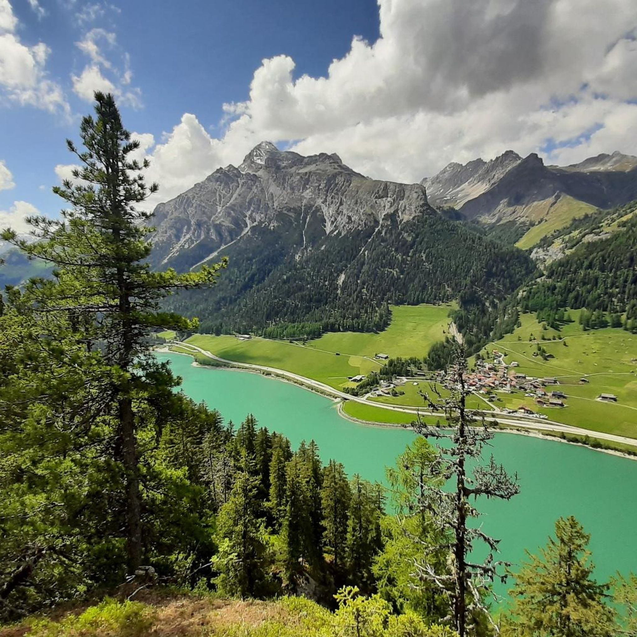
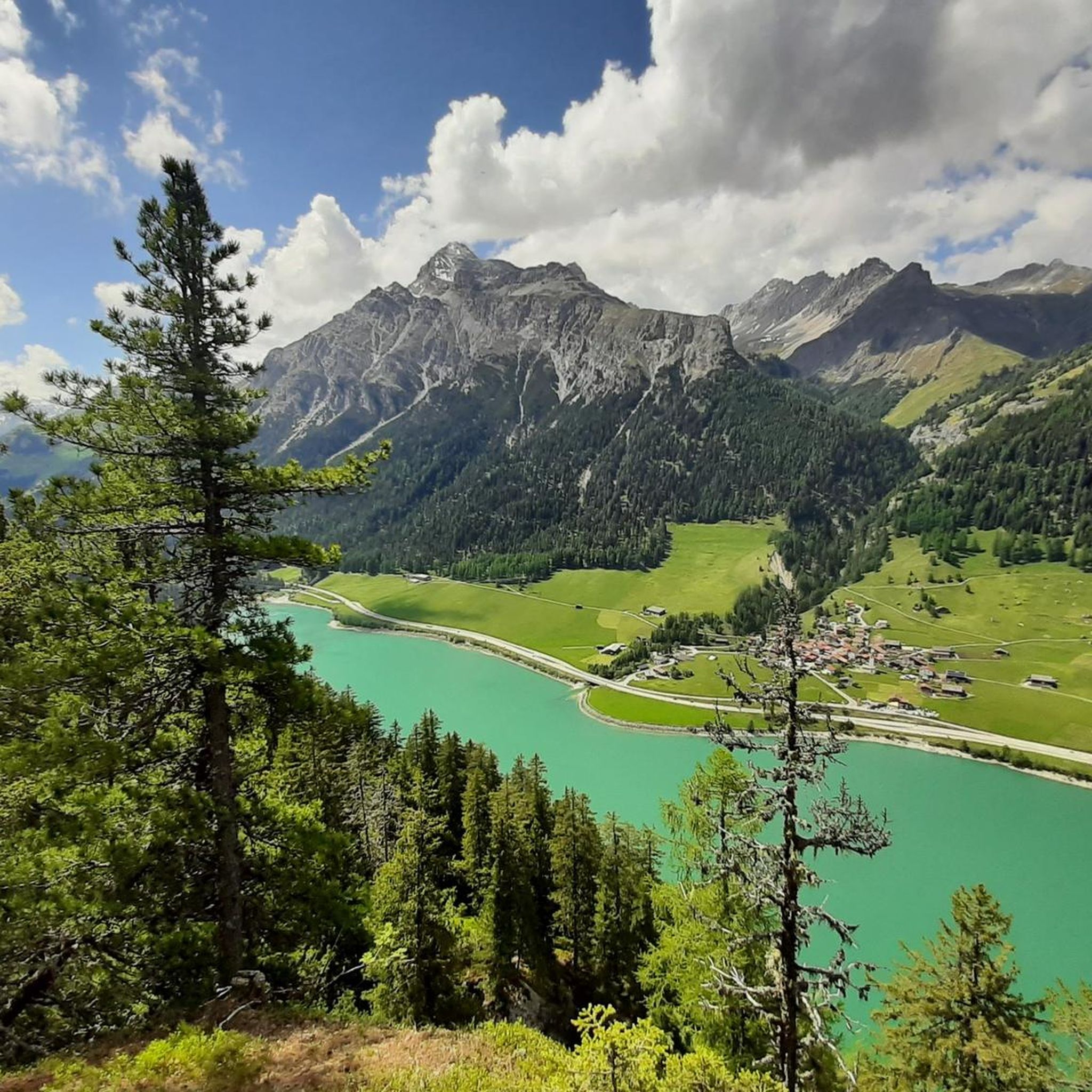
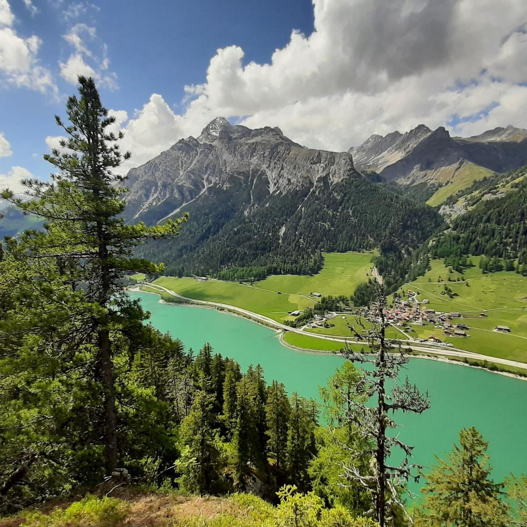
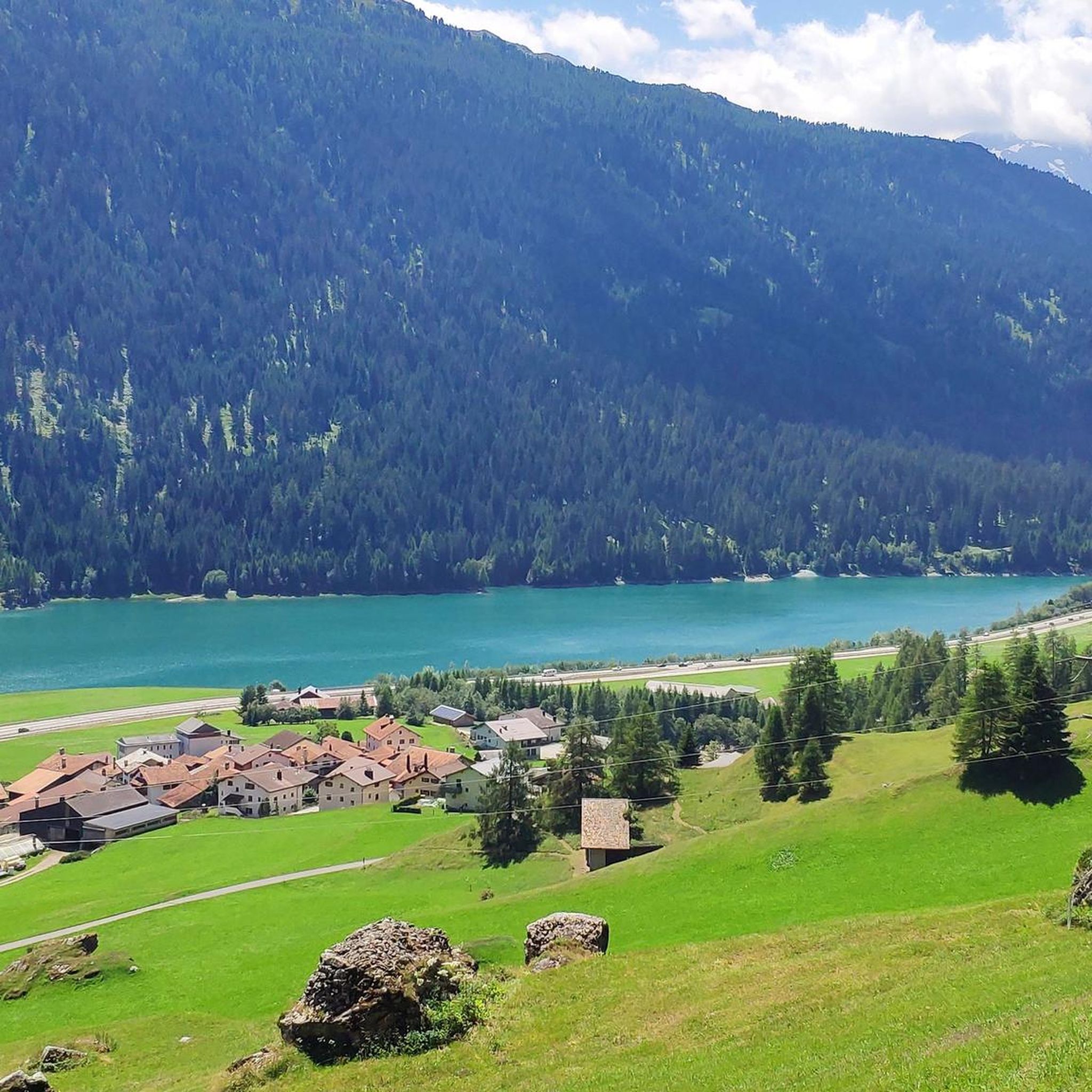
Mountain bike trails around Sufers are situated in the Viamala Region of the Swiss canton of Graubünden, characterized by alpine terrain, deep valleys, and high peaks. The area features steep slopes and mountains, along with forested sections and the Sufnersee lake. The Rheinwald valley and Roffla Gorge contribute to a diverse landscape, offering varied terrain for mountain biking.
Best mountain bike trails around Sufers
- The most popular mountain bike trail is Historic Village of Splügen – Ruins of Splügen Castle…
Last updated: November 4, 2026
4.8
(5)
60
riders
22.6km
02:22
860m
860m
Hard mountain bike ride. Good fitness required. Advanced riding skills necessary. Some portions of the route may require you to push your bike.
4.9
(7)
25
riders
52.2km
05:41
1,810m
1,810m
Hard mountain bike ride. Very good fitness required. Advanced riding skills necessary. Some portions of the route may require you to push your bike.

4.9
(8)
55
riders
36.9km
02:36
490m
490m
Hard mountain bike ride. Good fitness required. Advanced riding skills necessary. Some portions of the route may require you to push your bike.
4.9
(8)
51
riders
23.7km
02:15
870m
870m
Hard mountain bike ride. Good fitness required. Advanced riding skills necessary. Some portions of the route may require you to push your bike.
3.7
(6)
33
riders
14.2km
01:45
670m
670m
Hard mountain bike ride. Good fitness required. Advanced riding skills necessary. Some portions of the route may require you to push your bike.
Get access to more routes and recommendations from other explorers.
Already have an account?
Our route recommendations are based on thousands of hikes, rides, and runs completed by other people on komoot.
Start today with a free account
Your next adventure awaits.

Tips from the Community

An intact village center and a turbulent history.
0
0


Hotel Bodenhaus, Splügen in the Rheinwald The Bodenhaus has been the solitaire of Splügen since it was built in 1722. The building originally served as a storage room for transported goods, contained the post office and offered accommodation and food for travelers. In 1822 the Bodenhaus was converted into a comfortable hotel. The guest books contain famous names such as: Albert Einstein, Friedrich Nietzsche, Wilhelm Conrad Röntgen, William Turner, Napoleon III and Archduke Ferdinand Maximilian of Austria. Text / Source: Hôtel Bodenhaus, Splügen https://www.hotel-bodenhaus.ch/entdecken#:~:text=Das%20Bodenhaus%20ist%20seit%20seiner,zu%20einem%20komfortablen%20Hotel%20umgebaut.
17
0

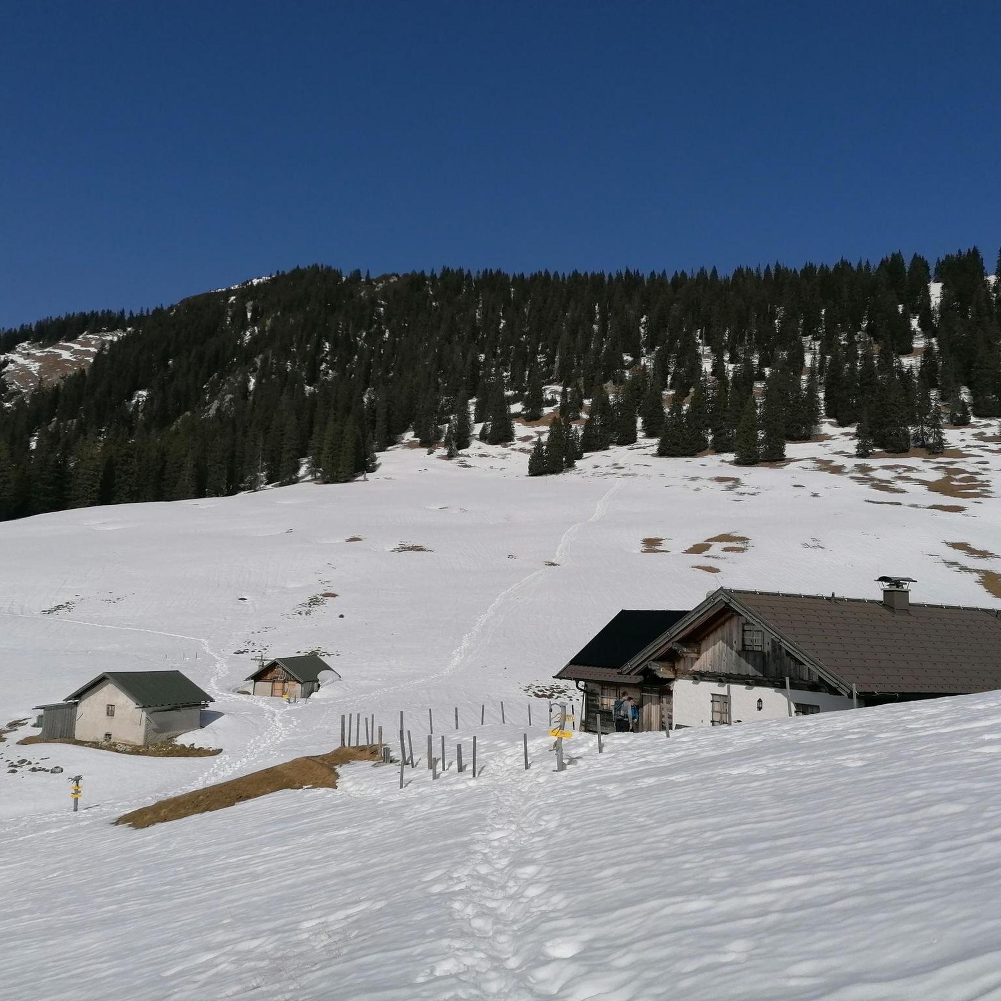
Nice dirt road variant to reach Seebärga.
1
0
Easily accessible along a dirt road. Impressive view of Pizzo Tambo.
0
0
Steep but without difficulty. Here in winter the ski slope descends.
0
0
Montespluga SO The mountain village of Montespluga is located at an altitude of 1908 m above sea level at the beginning of the Val San Giacomo (also called Valle Spluga), about three kilometers from the summit of the Splügen Pass. The place originated in a hollow rich in water and pastures, where the Valle Spluga meets the Val Loga, near the border peaks of the area such as Pizzo Tambo. In 1927, the construction of the dam about 2 kilometers south of Montespluga began, damming the Torrente Liro to form the Lago di Montespluga below the village. The village with its few houses, restaurants, hotels, and shops on the pass road and the old customs building "La Casa" has hardly changed. Until 1841, it housed the only hospice on the Splügen Pass and the only place of worship, the chapel of San Francesco d’Assisi. The latter was consecrated in 1832, the year after the completion of the new road to the Splügen Pass in 1822. As early as 1767, the apostolic nuncio in Switzerland and later Cardinal Luigi Valenti Gonzaga had granted permission to set up a small chapel in the hospice. Since the opening of the San Bernardino Tunnel, the pass has no longer been kept open in winter. The village, which consists of three streets (Via Dogana, Via Ferrè, and Via Val Loga), can be cut off from both Italy and Switzerland. Montespluga is the starting point for numerous hiking, mountaineering, and ski touring destinations in the surrounding mountains and a stage destination on the cross-border long-distance hiking trail Via Spluga. Text / Source: wikipedia.org https://de.wikipedia.org/wiki/Montespluga
11
0
Splügen Pass / Passo dello Spluga The Splügen Pass has been proven to have been used since prehistoric times. There are also references to this in Roman times, e.g. the Itinerarium Antonini, a Roman road map from around 300 AD. The very close connections between the bishoprics of Chur and Como ran over the Splügen Pass. As early as 1396, there was evidence of significant customs revenues at Splügen. The expansion of the Viamala Gorge promoted its boom. The movement of goods was carried almost exclusively by packhorses, which meant frequent reloading. Transit traffic formed an important part of the flourishing economy. As late as 1798, the Austrian Field Marshal von Bellegarde wrote: "The largest train of goods from Milan to Germany goes over this pass, but mostly on horses and mules." Between 1818 and 1823, the first road that was passable for freight wagons and stagecoaches was built at the same time as the San Bernardino, and to a large extent it still follows the same route as it was then. After that, freight volumes and international passenger traffic over the Splügen increased several times over and reached their peak in the mid-1850s. The opening of the Alpine railways (1867 Brenner, 1872 Mont Cenis) had already reduced transit traffic over the Splügen. The opening of the Gotthard Railway in 1882 brought Graubünden transit traffic to a virtual standstill. A large wave of emigration was a direct result. The decades-long efforts to build a Splügen railway ultimately failed. The construction of the national road with a car tunnel at the San Bernardino opened up new perspectives. The Splügen Pass has been closed in winter since World War II. Text / Source: Interest Group for Alpine Passes IAP, PO Box 11, 6491 Realp https://www.alpen-paesse.ch/de/alpenpaesse/spluegenpass/
11
0
Frequently Asked Questions
How many mountain bike trails are available around Sufers?
There are over 50 mountain bike trails around Sufers, offering a wide range of options for different skill levels. You'll find everything from easy paths to challenging climbs through alpine valleys and high mountain pastures.
What are the difficulty levels of mountain bike trails in Sufers?
The trails around Sufers cater to various skill levels. While the majority, over 40 routes, are classified as difficult, there are also around 17 moderate trails and at least one easy route available, ensuring options for most riders.
Are there any family-friendly mountain bike trails in Sufers?
While many trails in Sufers are challenging, there is at least one easy mountain bike route available. For families, it's best to look for routes specifically marked as easy or those that stick to the valley floors, such as paths near the Sufnersee lake, which offer gentler terrain.
What kind of landscapes can I expect to see while mountain biking in Sufers?
Mountain biking in Sufers offers diverse and stunning alpine landscapes. You'll ride through deep valleys, past high peaks exceeding 3,000 meters, alongside the scenic Sufnersee lake, and through forested sections. The dramatic Roffla Gorge and the Rheinwald valley also contribute to the varied terrain and breathtaking views.
Are there any loop mountain bike trails around Sufers?
Yes, many of the mountain bike trails around Sufers are designed as loops, allowing you to start and finish in the same location. For example, the Historic Village of Splügen – Ruins of Splügen Castle loop from Splügen is a popular option, as is the Historic Village of Splügen – Lake Sufner loop from Splügen.
What are some scenic viewpoints or natural attractions to see along the mountain bike trails?
The Sufers region is rich in natural beauty. You can ride past the picturesque Sufnersee lake, explore the impressive Roffla Gorge, or admire the elegant Pùnt da Suransuns bridge over the Hinterrhein. Other notable lakes like Ober Surettasee and Lai da Vons also offer stunning views.
What do other mountain bikers enjoy most about the trails in Sufers?
The mountain bike trails around Sufers are highly rated by the komoot community, with an average score of 4.6 stars from over 140 reviews. Riders frequently praise the diverse terrain, from alpine valleys to high mountain pastures, and the breathtaking views of the Graubünden landscape.
Are there any long-distance mountain bike routes for experienced riders?
Yes, experienced riders looking for a longer challenge will find suitable routes. For instance, the Historic Village of Splügen – Stafel Nurdagn loop from Splügen is a demanding 52.2 km trail that typically takes around 5 hours 40 minutes to complete, leading through extensive alpine valleys.
What is the best time of year for mountain biking in Sufers?
Sufers, known as the 'sun parlor of Rheinwald' due to its mild microclimate, is generally best for mountain biking during the warmer months. The alpine terrain means that higher elevation trails may be snow-covered in winter and early spring. Summer and early autumn offer the most favorable conditions for exploring the diverse routes.
Can I access mountain bike trails in Sufers using public transport?
While specific public transport connections directly to trailheads are not detailed, Sufers is part of the Viamala Region in Graubünden, which generally has good public transport infrastructure. It's advisable to check local bus schedules or train connections to nearby villages like Splügen, from where many routes originate, to plan your access.
Are there any routes that explore historical sites in the Sufers area?
Yes, some routes combine mountain biking with cultural exploration. The Historic Village of Splügen – Ruins of Splügen Castle loop from Splügen is a great example, allowing you to cycle through historic areas and past ancient ruins.
What is the elevation gain like on mountain bike trails around Sufers?
Given the alpine terrain of Sufers, many trails involve significant elevation gain. For example, the Historic Village of Splügen – Stafel Nurdagn loop from Splügen features over 1800 meters of ascent, providing challenging climbs and rewarding descents for riders.
Most popular attractions around Sufers

Get inspired with the komoot mobile app


Explore more
Browse the best MTB trails in other regions.
